Pleasant View Ridge Wilderness
Pleasant View Ridge Wilderness
The best running trails in Pleasant View Ridge Wilderness
13
runners
6
runs
Jogging routes in Pleasant View Ridge Wilderness traverse a rugged landscape within the San Gabriel Mountains National Monument. The region is characterized by majestic peaks, diverse terrain, and a transition zone where mountains meet the Mojave Desert. Elevations vary significantly, with lower areas featuring dense chaparral and higher slopes covered in pines and firs. This provides a range of running experiences, from moderate paths to more challenging mountain trails.
Best jogging routes in Pleasant View Ridge Wilderness
- The most popular…
Last updated: June 29, 2026
8
runners
11.9km
01:38
380m
380m
Hard run. Very good fitness required. Mostly paved surfaces. Suitable for all skill levels.

2
runners
11.6km
01:39
670m
670m
Hard run. Very good fitness required. Mostly paved surfaces. Suitable for all skill levels.

Sign up for free
4.53km
00:32
110m
110m
Moderate run. Good fitness required. Mostly paved surfaces. Suitable for all skill levels.
3
runners
20.5km
02:47
630m
630m
Hard run. Very good fitness required. Mostly paved surfaces. Suitable for all skill levels.
5.17km
00:39
150m
150m
Moderate run. Good fitness required. Mostly paved surfaces. Suitable for all skill levels.
Our route recommendations are based on thousands of hikes, rides, and runs completed by other people on komoot.
Start today with a free account
Your next adventure awaits.
Login or Signup
Popular around Pleasant View Ridge Wilderness
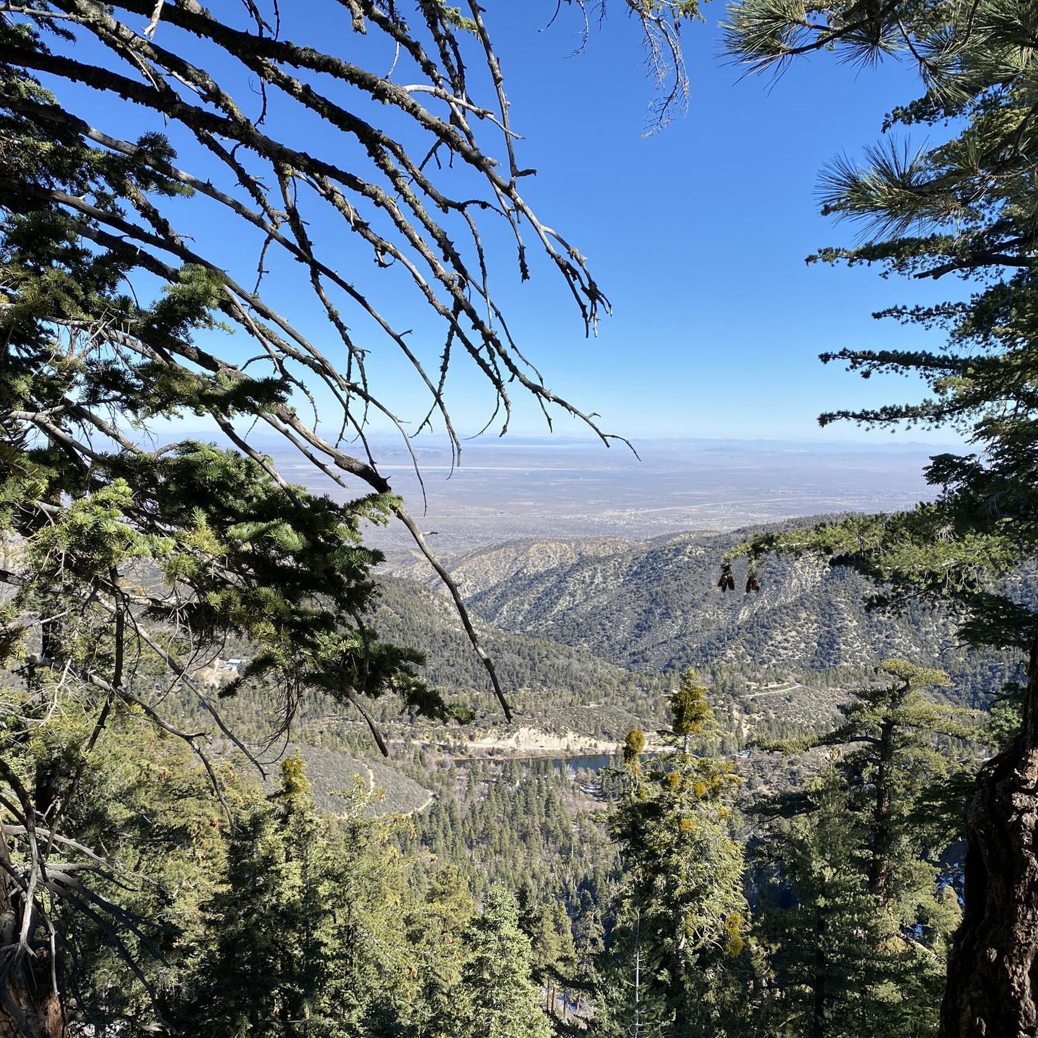
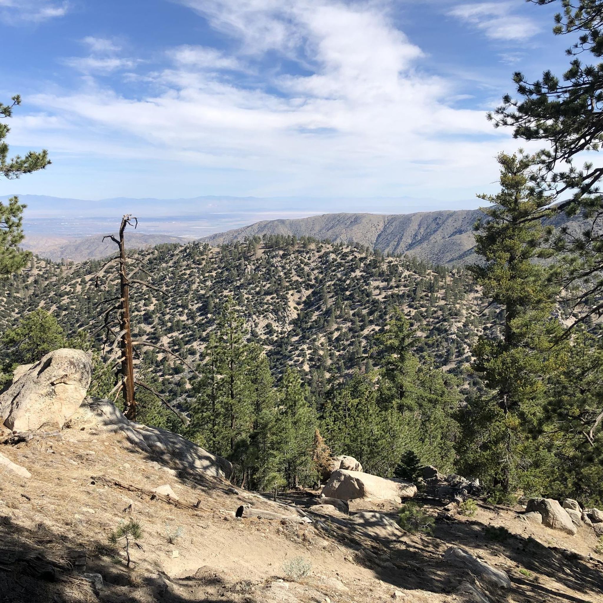
Tips from the Community

Great view towards Mount Baden-Powell from the PCT. If the trail is not too busy, this is a great place to stop and take in the wonderful vistas.
0
0

Wright Mountain stands at 8505 feet above sea level and is the high point of the Blue Ridge, which is the high country link between the Mount San Antonio and Mount Baden-Powell areas. Wright Mountain is a relatively popular summit, in large part because it is just a short detour off of the PCT. It is also on the Hundred Peaks List of the Sierra Club.
0
0
Wright Mountain stands at 8505 feet above sea level and is the highpoint the Blue Ridge, which is the high country link between the Mount San Antonio and Mount Baden-Powell areas. Wright Mountain is a relatively popular summit in large part because it is just a short detour off of the PCT. It is also on the Hundred Peaks List of the Sierra Club.
0
0

Enjoy the view of majestic Mount Baden-Powell from the Crest Trail. If you hike along the PCT northbound this is where you will climb up pretty soon.
1
0
Another turquoise, but not accessible pond with a futuristic shaped ski lift right next to it. It is probable that the water is used to create artificial snow for the ski slopes.
1
0

At the summit of Vetter Mountain is the Fire Lookout Tower manned by the Angeles National Forest Fire Lookout Association. During fire season it is actively manned by volunteers who are only too happy to greet hikers and show them how they do their job in helping to keep the Angeles National Forest safe. Oh and there are great views here too.
0
0
Crystal Lake Recreation Area is nestled within the San Gabriel Mountains and a great basecamp for trail running and hiking. You can take a stroll to nearby Crystal Lake or if you are more ambitious, prepare for a run to the iconic Pacific Crest Trail or summit Mount Islip for some gorgeous views over the Los Angeles Basin and the Mojave Desert. The Recreation Area has 50 campsites with potable water, each campsite is 12 Dollars per night on a first-come-first-served basis. There is also a café to enjoy hot meals and sandwiches.
3
0
Located just a mile from the Crystal Lake Recreation Area, the lake offers some nice outdoors activities like trail running, hiking and fishing. To park your vehicle you will need to pay 5 Dollars or obtain an Adventure Pass.
1
1
Frequently Asked Questions
How many running routes are available in Pleasant View Ridge Wilderness?
Komoot features 7 dedicated running routes in Pleasant View Ridge Wilderness. These routes offer a variety of experiences, from moderate forest paths to challenging mountain ascents.
What kind of terrain can I expect when running in Pleasant View Ridge Wilderness?
The terrain in Pleasant View Ridge Wilderness is rugged and diverse. You'll encounter dense chaparral in lower elevations and pine and fir-covered slopes at higher altitudes. The landscape transitions from mountains to desert, offering varied surfaces and elevation changes.
Are there any easy or moderate running routes suitable for beginners or a more relaxed pace?
Yes, there are moderate running options. For a more accessible experience, consider the Crystal Lake – Angeles National Forest route, which is 2.8 miles (4.5 km) and leads through varied forest terrain. Another moderate option is the Vetter Mountain Fire Lookout Tower – Angeles National Forest, a 3.2-mile (5.2 km) trail through forested slopes.
What are some of the more challenging running routes in the area?
For a more strenuous run, you can explore routes like Wright Mountain via Pacific Crest Trail, which spans 12.7 miles (20.5 km) with significant elevation gain. Another challenging option is Windy Gap & Mount Islip – Angeles National Forest, covering 11.6 km with substantial climbing.
What scenic views or natural features can I expect to see while running in Pleasant View Ridge Wilderness?
Pleasant View Ridge Wilderness is known for its majestic peaks and spectacular views of the San Gabriel Mountains and the Mojave Desert basin. High points like Mount Williamson and Pleasant View Ridge Summit offer excellent vistas. You'll also encounter diverse vegetation, from dense chaparral to pine and fir forests, and areas recovering from past fires, showcasing nature's resilience.
Are there any trails that feature waterfalls or unique water features?
Yes, the Burkhart Trail, though not directly part of the komoot guide's listed routes, is highlighted in the region for its scenic beauty along Little Rock Creek, leading to attractions like Cooper Canyon Falls. While some sections of the trail have been affected by past events, the lower sections to the falls are often recommended.
Are there any circular running routes in Pleasant View Ridge Wilderness?
Yes, the Devil's Chair loop from Devils Chair is a circular route, offering a challenging 11.9 km (7.4 miles) run with varied terrain and elevation changes.
What do other runners enjoy most about jogging in Pleasant View Ridge Wilderness?
The komoot community frequently praises the rugged mountain terrain and the diverse landscapes, from chaparral to pine-covered slopes. Many appreciate the variety of routes available, catering to different ability levels, and the expansive views from higher elevations.
Is Pleasant View Ridge Wilderness suitable for family-friendly running or walking?
While many trails are strenuous, the varied lengths and difficulty levels mean that families can find suitable options. Moderate routes like Crystal Lake – Angeles National Forest offer a more accessible experience through varied forest terrain, which might be suitable for families looking for shorter, less challenging runs or walks.
What is the best time of year to go running in Pleasant View Ridge Wilderness?
The best time to run can vary. While the region offers year-round opportunities, consider that higher elevations may have packed powder snow in certain seasons, and conditions can be clear and windy. Always check local weather and trail conditions before heading out, especially during extreme temperatures or after significant weather events.
Are dogs allowed on the running trails in Pleasant View Ridge Wilderness?
Regulations regarding dogs can vary within wilderness areas and national monuments. It's always best to check the specific rules for the San Gabriel Mountains National Monument or the Angeles National Forest before bringing your dog, as some areas may require leashes or restrict access.
Are there any sections of the Pacific Crest Trail that are good for running in this area?
Yes, a notable section for running is the Wright Mountain via Pacific Crest Trail. This 12.7-mile (20.5 km) route offers expansive views along a segment of the Pacific Crest National Scenic Trail, providing a challenging and rewarding experience.

Get inspired with the komoot mobile app


Explore more
Browse the best Running Trails & Routes in other regions.
