Pleasant View Ridge Wilderness
Pleasant View Ridge Wilderness
The best MTB trails in Pleasant View Ridge Wilderness
15
riders
5
rides
Mountain biking in Pleasant View Ridge Wilderness offers routes through a rugged expanse characterized by majestic peaks and diverse terrain, where the San Gabriel Mountains transition towards the Mojave Desert. The area features a mix of forested sections, open ridges, and varied landscapes. While the designated wilderness area has restrictions on mechanized equipment, this guide highlights mountain bike routes in the surrounding region. These trails provide opportunities to experience the area's topography and natural features.
Best mountain bike trails in…
Last updated: June 29, 2026
1
riders
37.8km
03:29
930m
930m
Hard mountain bike ride. Very good fitness required. Advanced riding skills necessary.
57.4km
06:11
2,000m
2,000m
Hard mountain bike ride. Very good fitness required. Advanced riding skills necessary.

Sign up for free
9
riders
13.7km
01:20
330m
330m
Moderate mountain bike ride. Good fitness required. Suitable for all skill levels.
5
riders
29.7km
02:39
670m
670m
Moderate mountain bike ride. Good fitness required. Suitable for all skill levels.
58.6km
05:36
1,640m
1,640m
Hard mountain bike ride. Very good fitness required. Suitable for all skill levels.
Our route recommendations are based on thousands of hikes, rides, and runs completed by other people on komoot.
Start today with a free account
Your next adventure awaits.
Login or Signup
Popular around Pleasant View Ridge Wilderness
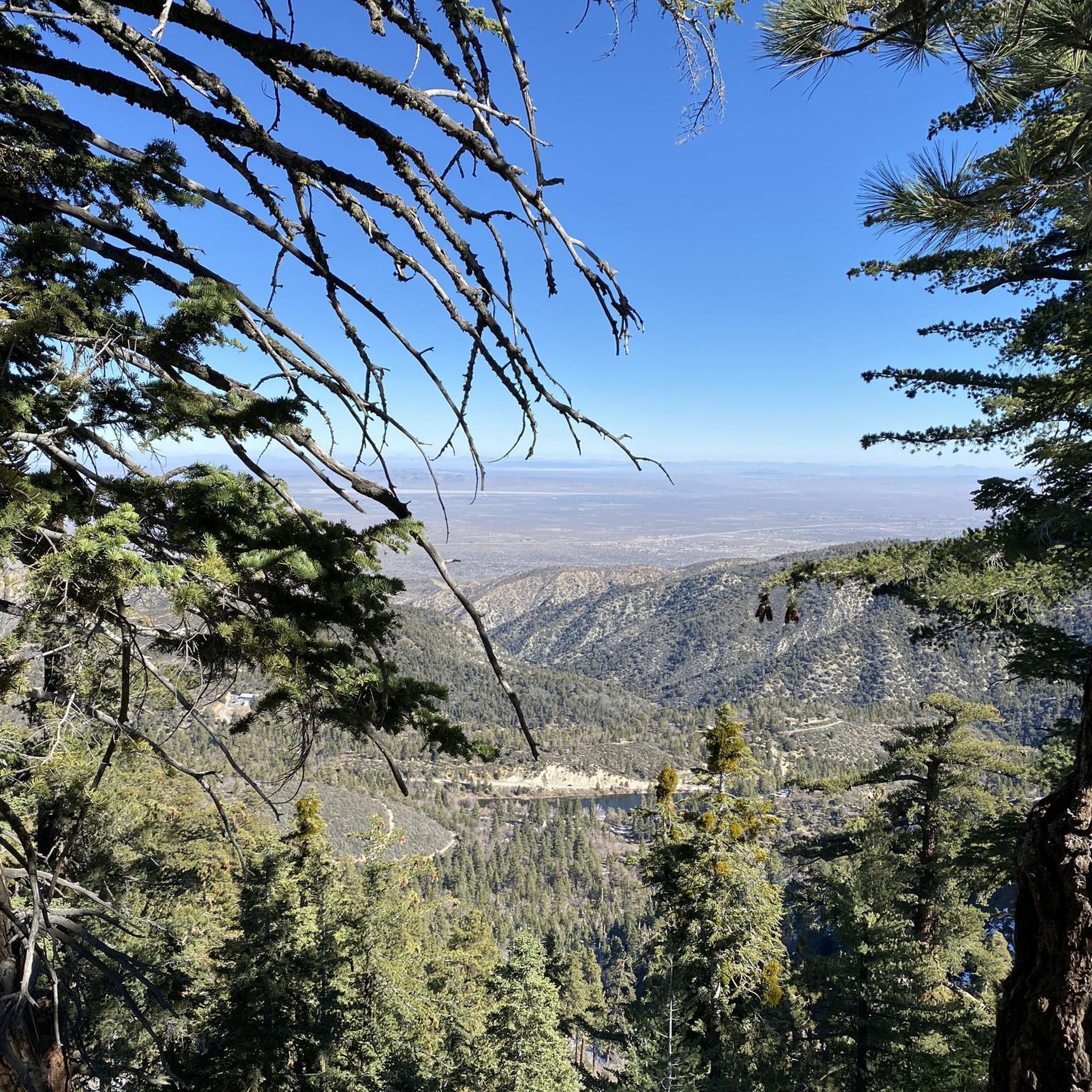
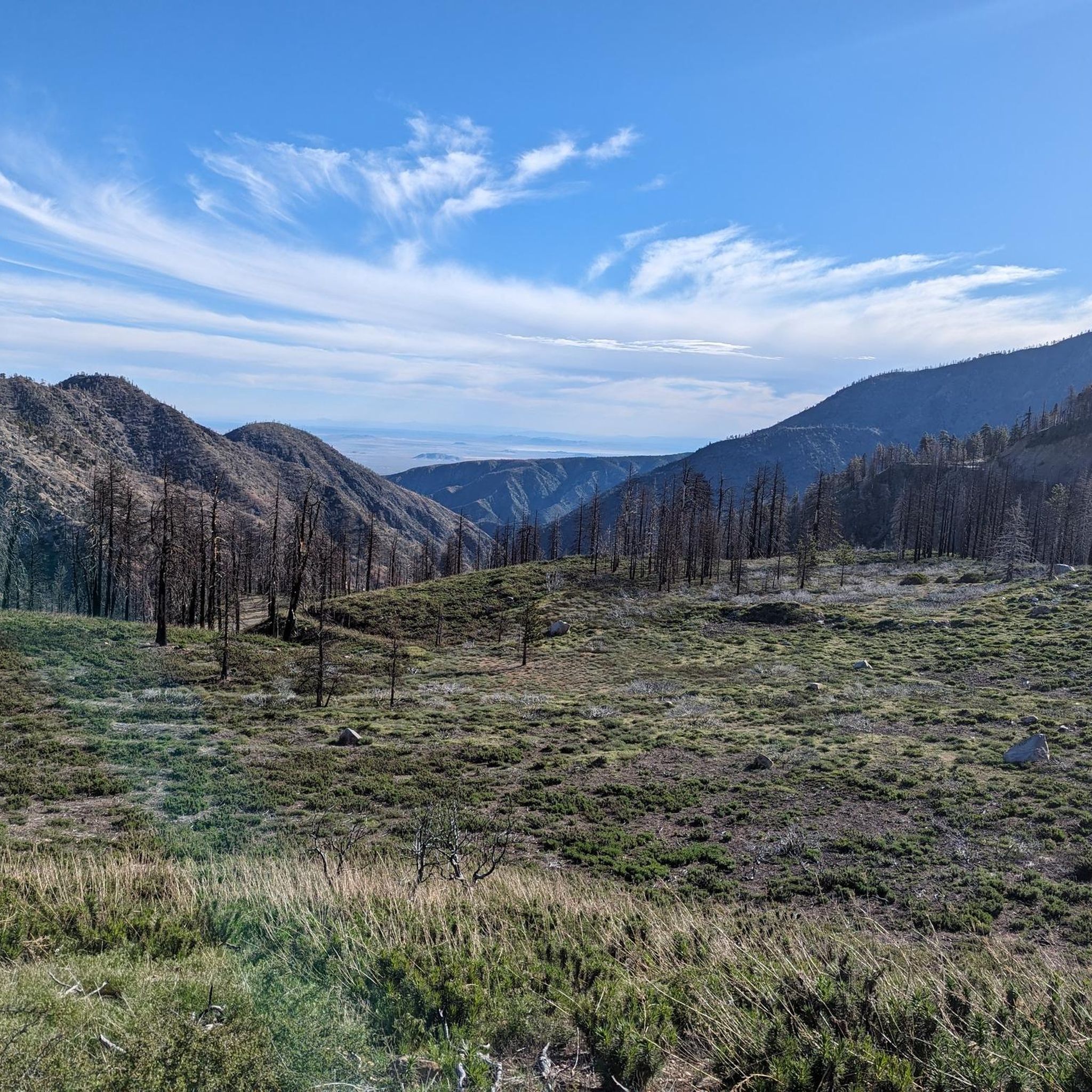
Tips from the Community

awesome trail. it was a bit windy but the views were amazing. 100% reccomend it
0
0

The full Silver Moccasin Trail is nearly 14 miles of (mostly) downhill goodness. However, you can break it up into sections depending on your available time and fitness level. It's usually ridden downhill but as it is a multi-use trail you may encounter uphill hikers. Also, with this much downhill you'll likely want to ride this with a buddy so you can shuttle between the top and bottom.
0
0
If you don't mind interrupting your downhill flow you can take a short detour on this road to Vetter Mountain. There's a fire lookout at the top that is staffed during the summer and gives you excellent views across the mountains.
0
0

There is a packed dirt parking lot here with restrooms, a picnic table, and shade if you are lucky enough to be one of the first vehicles to arrive. From here you can hike across the road into Devil's Canyon, a stunning trek along a rocky seasonal stream. An Adventure Pass is required to park here.
0
0

The highway 2 past Redbox (Mount Wilson) is currently closed (5/20/24). Look forward to the ride when the road reopens!
1
0


After threading your way through a maze of boulders and pine trees (but on a well-marked trail), you reach the summit of Mount Hillyer. Although this is a fun, moderate climb, with easy access, this relatively flat summit feels remote and although you might encounter mountain bikers, you will proably only see a few other hikers if any.
0
0
Mount Gleeson is a unique mountain on the northwestern side of the Angeles National Forest, just off the PCT. This large flat summit was actually leveled to house a Nike missile radio base, making it a rather odd plateau surrounded by trees. Most of the old buildings are gone, but there are some radio towers that remain further down the abandoned road.
1
0
Frequently Asked Questions
Is mountain biking allowed within the Pleasant View Ridge Wilderness area itself?
No, mountain biking is explicitly prohibited within the designated Pleasant View Ridge Wilderness area. All mechanized and motorized equipment, including mountain bikes, are not permitted. However, the routes highlighted in this guide are located in the surrounding Angeles National Forest, offering mountain biking opportunities near the wilderness boundary.
What kind of terrain can I expect on mountain bike trails near Pleasant View Ridge Wilderness?
The mountain bike trails in the surrounding region offer a rugged and varied experience. You'll encounter significant elevation changes, forested sections, and open ridges, reflecting the transition zone where the San Gabriel Mountains meet the Mojave Desert. The routes are generally challenging, with no easy options available in this guide.
How many mountain bike trails are featured in this guide for the area around Pleasant View Ridge Wilderness?
This guide features 5 mountain bike trails in the region surrounding Pleasant View Ridge Wilderness. These routes range from moderate to difficult in intensity, providing diverse options for experienced riders.
Are there any easy mountain bike trails for beginners in this area?
Based on the available routes, there are no easy mountain bike trails listed in this guide. The trails are categorized as either moderate or difficult, suggesting they are better suited for riders with some experience.
What are some of the longer mountain bike routes available?
For longer rides, consider the Silver Moccasin Trail Loop, which spans 35.7 miles (57.4 km) and typically takes over 6 hours to complete. Another extensive option is the Mount Gleason Loop, covering 36.4 miles (58.6 km) and usually completed in about 5 hours 35 minutes.
Are there any loop trails for mountain biking in the vicinity?
Yes, several loop trails are available. Popular options include the Mount Hillyer Loop, a moderate 8.5-mile (13.7 km) path, and the longer Chilao Campground – Mount Hillyer loop from FEE AREA, which is a difficult 23.4-mile (37.7 km) route.
What is the best time of year to go mountain biking near Pleasant View Ridge Wilderness?
The best time to go mountain biking in this region is typically during the spring and fall when temperatures are milder. Summer can be very hot, especially at lower elevations, while winter may bring snow to higher peaks, making some trails inaccessible or more challenging. Always check local weather and trail conditions before heading out.
Are the mountain bike trails in this area suitable for families or children?
Given that all routes in this guide are rated as moderate to difficult, they are generally not recommended for young children or families seeking easy, leisurely rides. These trails often feature significant elevation changes and rugged terrain, requiring a good level of fitness and mountain biking experience.
Can I bring my dog on the mountain bike trails?
Regulations regarding dogs can vary within the Angeles National Forest. While dogs are generally permitted on many trails if kept on a leash, it's always best to verify specific trail rules before your ride. Keep in mind that the challenging nature of these trails might not be suitable for all dogs.
What kind of wildlife might I encounter while mountain biking?
The region is home to diverse wildlife. You might spot deer, various bird species, and if you're lucky, even mountain lions or bobcats, though these are more elusive. Remember to maintain a respectful distance and never feed wild animals.
Are there any notable viewpoints or natural features along the mountain bike routes?
While the mountain bike routes are outside the wilderness boundary, the surrounding Angeles National Forest offers spectacular views. From various ridges, you can often enjoy panoramic vistas of the Antelope Valley to the north and the San Gabriel Mountains to the south. The area is also known for its unique ecological transition from mountainous to desert environments.
Where can I find parking for mountain biking in this area?
Parking is typically available at trailheads or designated recreation areas within the Angeles National Forest. For example, the Chilao Campground – Mount Hillyer loop starts from a FEE AREA, indicating a designated parking spot. Always check for specific parking instructions and potential fees for your chosen trailhead.
Are there any cafes or accommodation options nearby?
While the immediate vicinity of the wilderness is rugged and undeveloped, you may find limited services, including cafes and accommodation, in nearby towns or along major highways that traverse the Angeles National Forest. For overnight stays, Little Jimmy Campground is an option adjacent to the wilderness area, suitable for camping.

Get inspired with the komoot mobile app


Explore more
Browse the best MTB trails in other regions.
