The best road cycling routes around Springdale
3.0
(2)
201
riders
6
rides
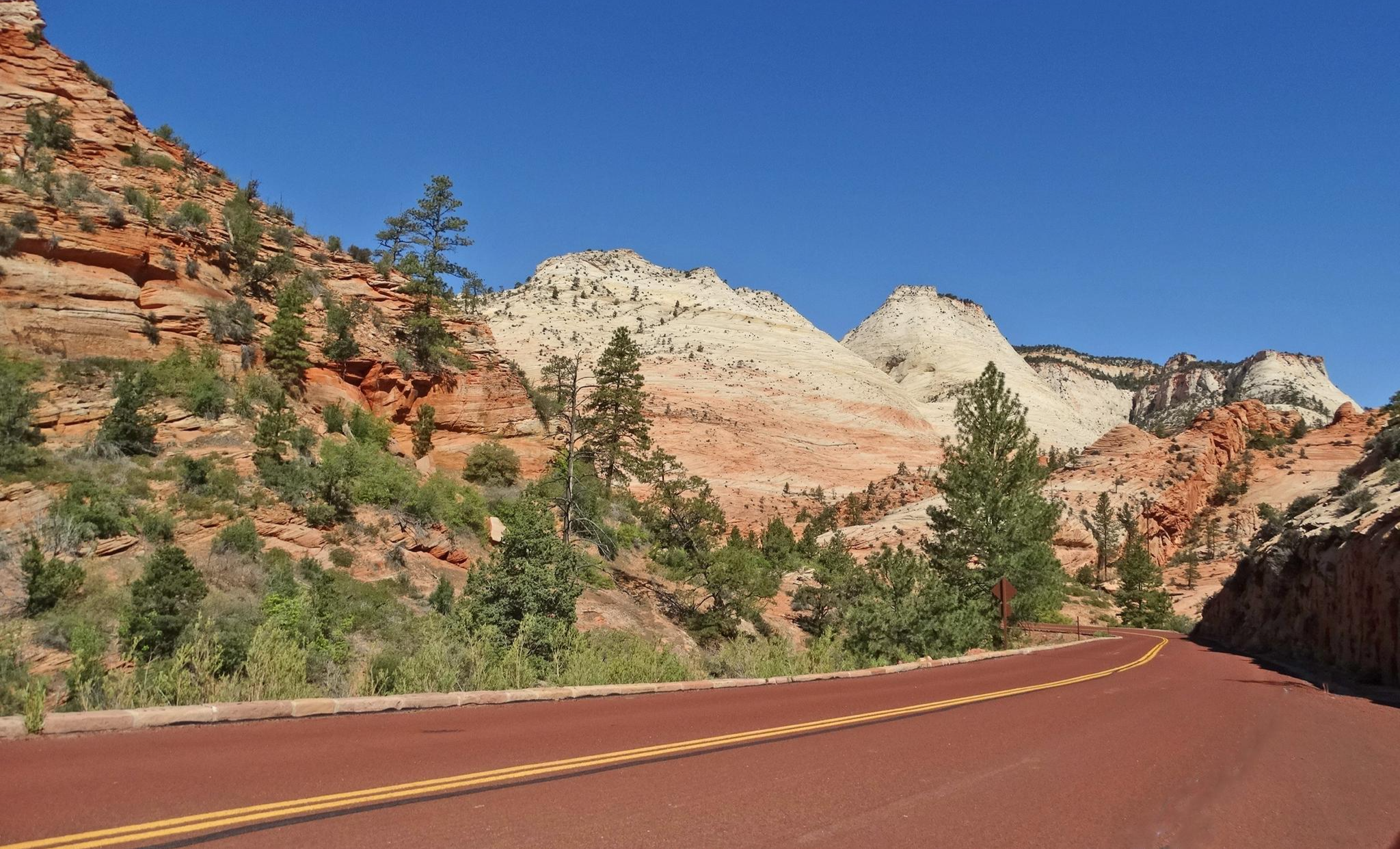
Road cycling around Springdale offers access to an extensive network of trails and scenic natural features. The region is characterized by its position within the Ozark Mountains, providing a backdrop of lush forests and clear streams. Springdale's infrastructure includes paved surfaces, side paths, and dedicated bike lanes, making it suitable for various road cycling experiences. This environment supports both easy rides and more challenging routes with varied elevation.
Best road cycling routes around Springdale
- The most popular road cycling route…
Last updated: October 10, 2026
11
riders
19.5km
01:06
360m
360m
Moderate road ride. Good fitness required. Mostly well-paved surfaces and easy to ride.
10
riders
72.4km
03:31
980m
980m
Hard road ride. Very good fitness required. Mostly well-paved surfaces and easy to ride.

56
riders
Easy road ride. Great for any fitness level. Mostly well-paved surfaces and easy to ride.
18
riders
43.4km
01:49
270m
270m
Easy road ride. Great for any fitness level. Mostly well-paved surfaces and easy to ride.
7
riders
12.6km
00:37
110m
110m
Easy road ride. Great for any fitness level. Mostly well-paved surfaces and easy to ride.
Our route recommendations are based on thousands of hikes, rides, and runs completed by other people on komoot.
Start today with a free account
Your next adventure awaits.
Other adventures around Springdale

Tips from the Community


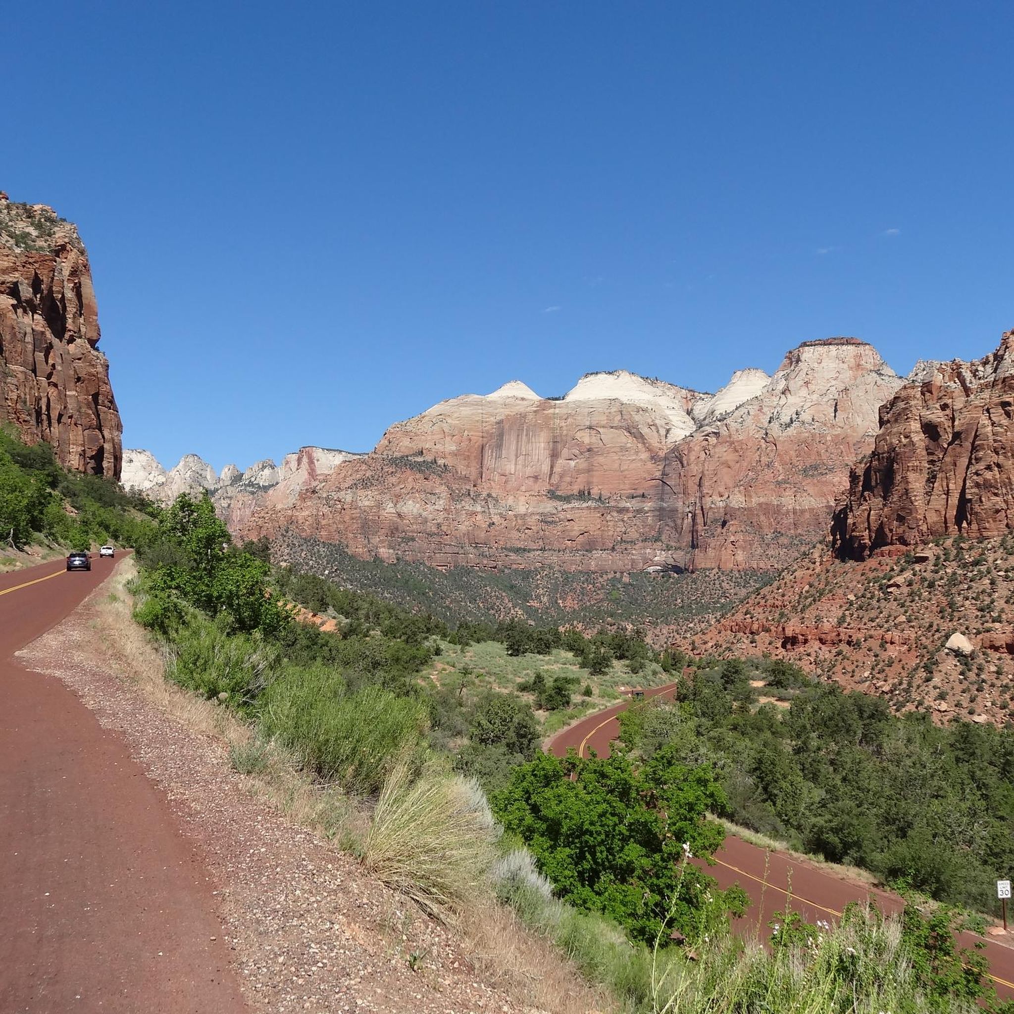
The Zion Canyon Trail is one of the most relaxed and scenic ways to ride near the park, offering a smooth paved path that winds through cottonwoods and red-rock walls without the stress of traffic. It’s flat, family-friendly, and perfect for spinning out your legs before or after a big climb. Expect crowds near Springdale during peak hours, but once you’re on the path, it’s a calm and beautiful ride with plenty of spots to pull over and take in the views.
0
0

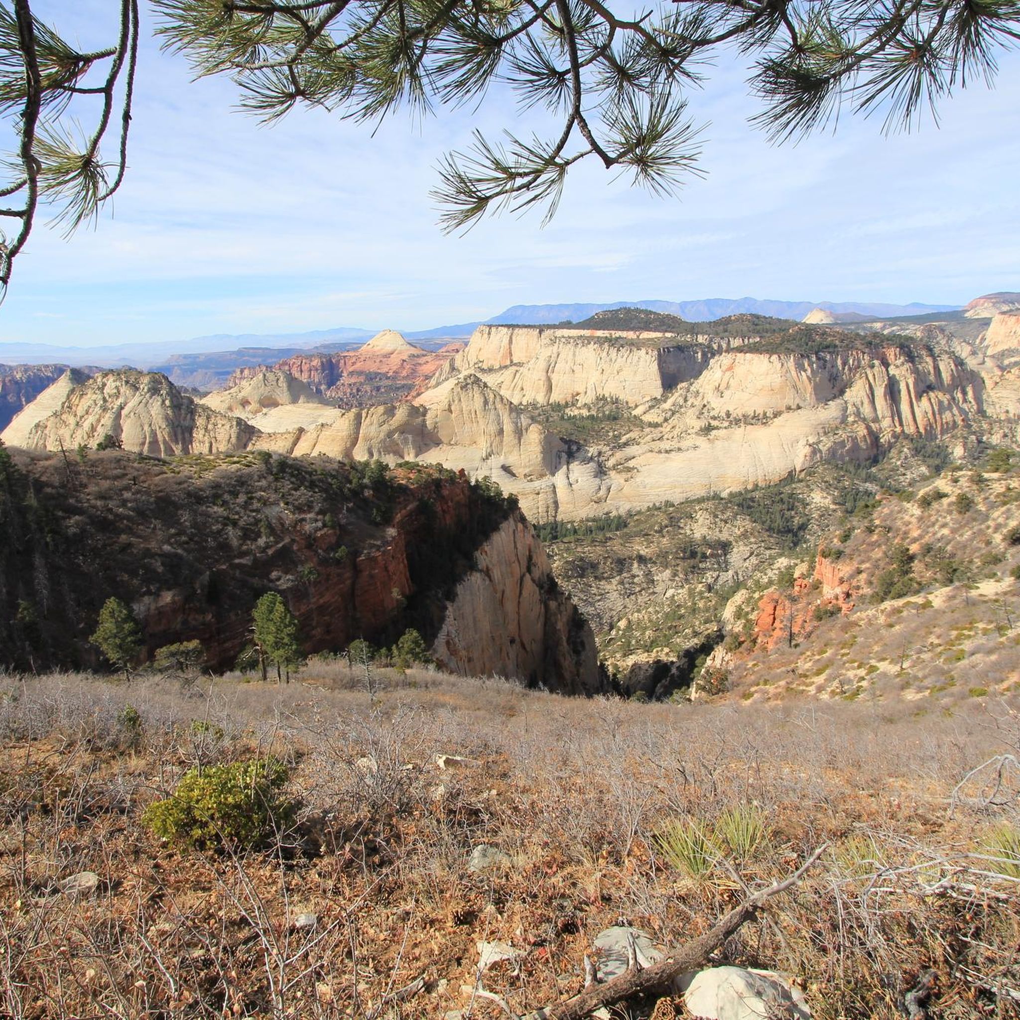
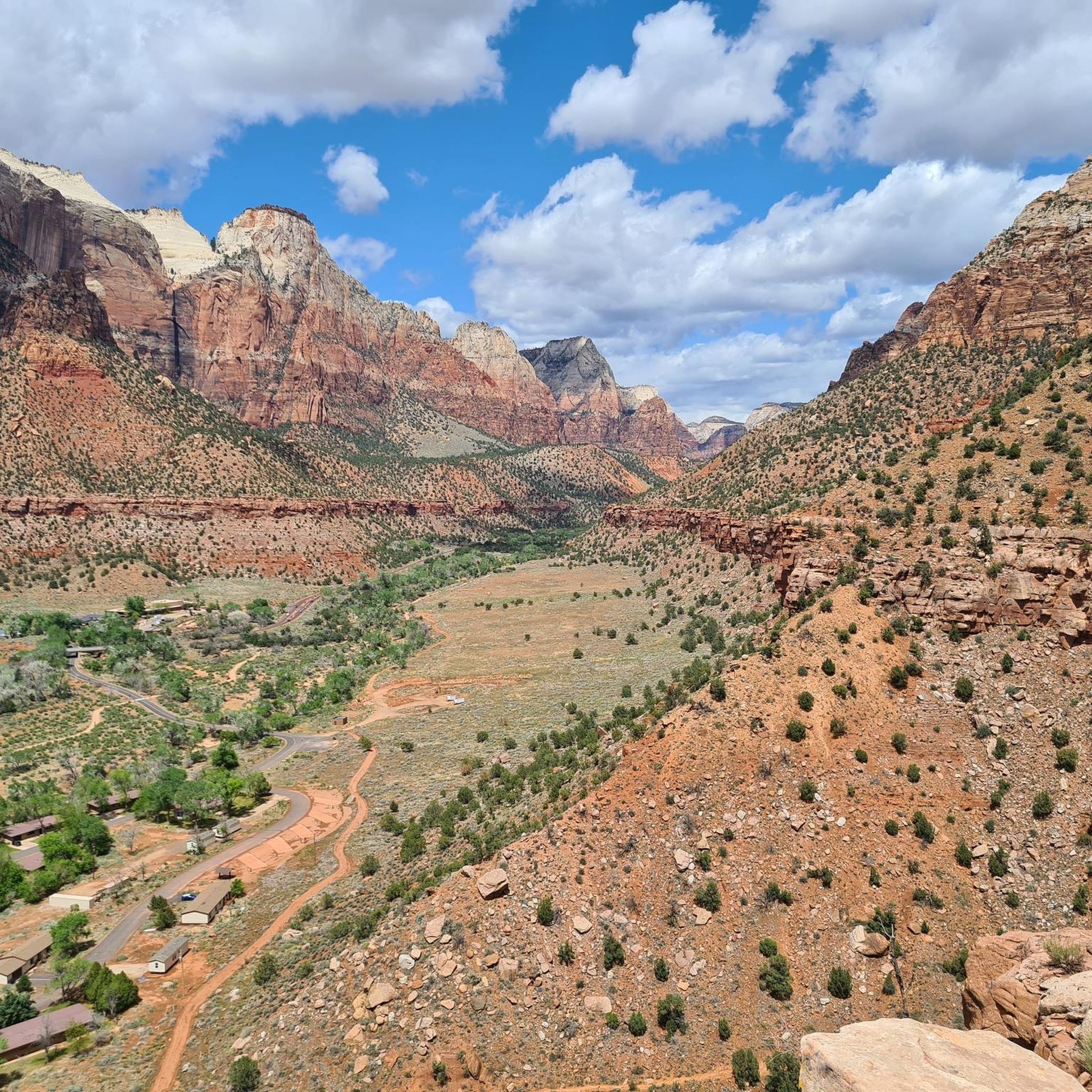
There is a small pull-off on the side of the main road, which is a great place to stop and admire the valley. You can see a variety of remarkable rock formations, and you might see climbers on Lambs Knoll.
2
0
Cycling isn't allowed through the tunnel, and there is space to pull over off the road at the entrance. You can try to hitchhike through, or turn around and enjoy the switchbacks down the canyon.
0
0

It's best to park here or at the museum, as only park buses are allowed into the larger part where most hikes start. I would also recommend getting there as early as possible, as it fills up quickly, parking is difficult, and the paths are also crowded.
0
0

This park is a great spot to start and end your ride while you explore the Zion area. There's water, toilets, shady areas, and the river to cool down in.
0
0
Kolob Terrace Road leads to the upper section of Zion National Park, offering stunning scenic views along the ride. The road has a steady incline and transitions to gravel, so be ready for a challenging climb.
0
0
This park is a great spot to start and end your ride while you explore the Zion area. There's water, toilets, shady areas, and the river to cool down in.
0
0
Frequently Asked Questions
What kind of terrain can I expect on road cycling routes around Springdale?
Springdale's road cycling routes offer a diverse terrain, ranging from well-paved surfaces on the extensive Razorback Regional Greenway to some unpaved segments on longer, more challenging loops. You'll find dedicated bike lanes and side paths within the city, and routes often feature the scenic backdrop of the Ozark Mountains, with lush forests and clear streams.
Are there easy road cycling routes suitable for beginners or families in Springdale?
Yes, Springdale offers several easy road cycling routes perfect for beginners or families. For instance, the Pa'rus Trail loop from Springdale is an easy 8 km (5 miles) path through scenic riverside areas. The Razorback Regional Greenway also provides many accessible, mostly flat sections suitable for all fitness levels, such as the Clear Creek loop from Springdale.
What are some of the more challenging road cycling routes around Springdale?
For experienced cyclists seeking a challenge, Springdale offers routes with significant elevation gain. The Tabernacle Dome & Lambs Knoll — Zion National Park route, for example, is a difficult 72.4 km (45 miles) ride with nearly 1000 meters of elevation gain. Longer loops on the Razorback Regional Greenway, such as an 87 km route with 580 meters elevation, also provide a good workout.
What natural features and scenic viewpoints can I discover along Springdale's road cycling routes?
Road cycling in Springdale provides access to stunning natural beauty. Routes often feature views of the Ozark Mountains, lush forests, and clear streams. You can also cycle around Lake Fayetteville Park, which offers scenic water views. While not directly on road cycling routes, nearby attractions like Angels Landing and the Emerald Pools Trail offer impressive natural monuments to explore off the bike.
Are there any notable landmarks or attractions accessible from Springdale's road cycling trails?
Yes, Springdale's cycling network connects to several points of interest. The Razorback Regional Greenway runs directly through downtown Springdale, offering access to local amenities and Lake Springdale. Other attractions include the Botanical Garden of the Ozarks, located north of downtown. For a broader experience, the Arkansas & Missouri Railroad offers scenic train journeys, and various local parks like Luther George Park provide green spaces for relaxation.
What is the best time of year for road cycling in Springdale?
Spring and Fall generally offer the most pleasant conditions for road cycling in Springdale, with mild temperatures and beautiful scenery. Summer can be hot and humid, while winter may bring colder temperatures, though many trails remain accessible. Always check local weather forecasts before heading out.
How many road cycling routes are available around Springdale?
There are at least 5 distinct road cycling routes available around Springdale, catering to various skill levels from easy to difficult. These routes are highly rated by the komoot community, with an average score of 4.7 stars.
What do other road cyclists enjoy the most about road cycling in Springdale?
The area is highly rated by the komoot community, with an average score of 4.7 stars. Reviewers often praise the extensive and well-maintained trail network, particularly the Razorback Regional Greenway, and the beautiful natural scenery provided by the Ozark Mountains and local lakes.
Where can I find parking for road cycling routes in Springdale?
Many access points to the Razorback Regional Greenway and other local trails in Springdale offer designated parking areas. For specific routes, it's advisable to check the route details on komoot or local city resources for parking information near trailheads. Lake Fayetteville Park also provides parking for its extensive trail system.
Are there any circular road cycling routes in Springdale?
Yes, Springdale offers several excellent circular road cycling routes. Examples include the Pa'rus Trail loop from Springdale, which is an easy 8 km (5 miles) loop. The Razorback Regional Greenway also features numerous loop options of varying lengths and difficulties, allowing cyclists to start and end at the same point.
Can I access road cycling routes in Springdale using public transport?
Springdale has a public transit system, Ozark Regional Transit (ORT), which may offer connections to areas near the Razorback Regional Greenway and other cycling paths. For detailed information on routes and stops that align with cycling access points, it's best to consult the official Ozark Regional Transit website or local city resources.
What is the typical elevation gain on road cycling routes in Springdale?
The elevation gain on Springdale's road cycling routes varies significantly depending on the route's length and location. Easy routes like the Pa'rus Trail loop from Springdale have minimal elevation gain (around 60 meters). More challenging routes, such as the Tabernacle Dome & Lambs Knoll — Zion National Park, can feature close to 1000 meters of climbing over longer distances, reflecting the region's Ozark Mountain topography.
Most popular attractions around Springdale

Get inspired with the komoot mobile app


Explore more
Browse the best Road cycling routes in other regions.
