Top 20 Mountain Passes around Brandberg
Best mountain passes around Brandberg are characterized by the region's unique granite massif, which rises to over 2,500 meters in the Erongo region of the northwestern Namib Desert. This area is not defined by conventional vehicular mountain passes but rather by river valleys and gorges that serve as primary access routes. These natural features lead to the summit and numerous prehistoric rock art sites. The landscape offers a blend of geological formations and cultural significance.
Best mountain passes around Brandberg
…Last updated: October 13, 2026
Klammljoch Pass
Highlight • Mountain Pass
Translated by Google •
Tip by

Ascent to Mörchenscharte
Highlight (Segment) • Mountain Pass
Translated by Google •
Tip by

Sign up now to discover places like this
Get recommendations on the best single tracks, peaks, & plenty of other exciting outdoor places.
Krimmler Tauern Pass
Highlight • Mountain Pass
Translated by Google •
Tip by

Gerlos Alpine Road
Highlight • Mountain Pass
Translated by Google •
Tip by

Ochsenlenke (2,585 m)
Highlight • Mountain Pass
Translated by Google •
Tip by

Sign up for free to discover even more mountain passes around Brandberg.
Already have an account?
Start today with a free account
Your next adventure awaits.
Popular around Brandberg
A superb hut-to-hut adventure over the main Alpine ridge – Dreiländertour
The Zillertal Trail – three passes and a howling dog
A peaceful haven in the mountains – hiking in Zillertal
Panoramic hiking Tours with a far-reaching view in the Zillertal
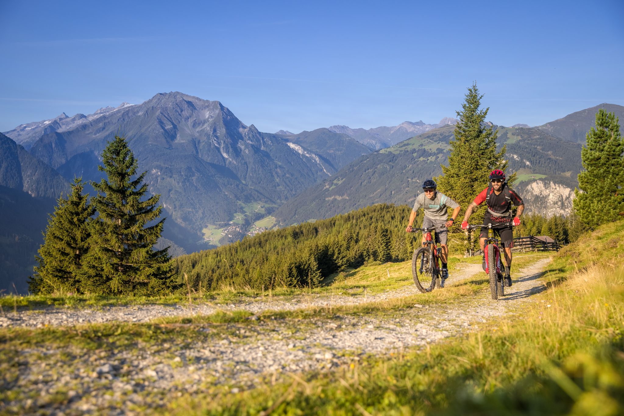
Biketouren mit Weitblick im Zillertal
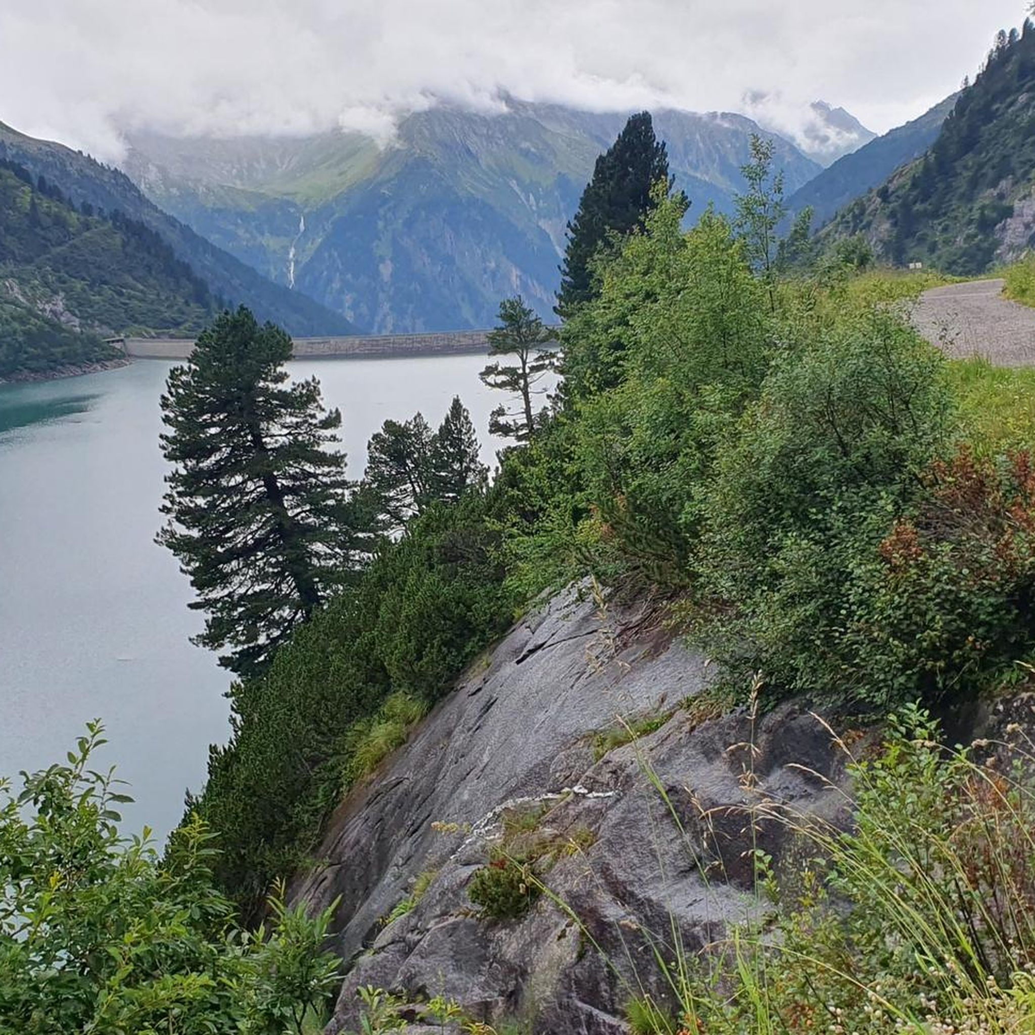
Hiking around Brandberg
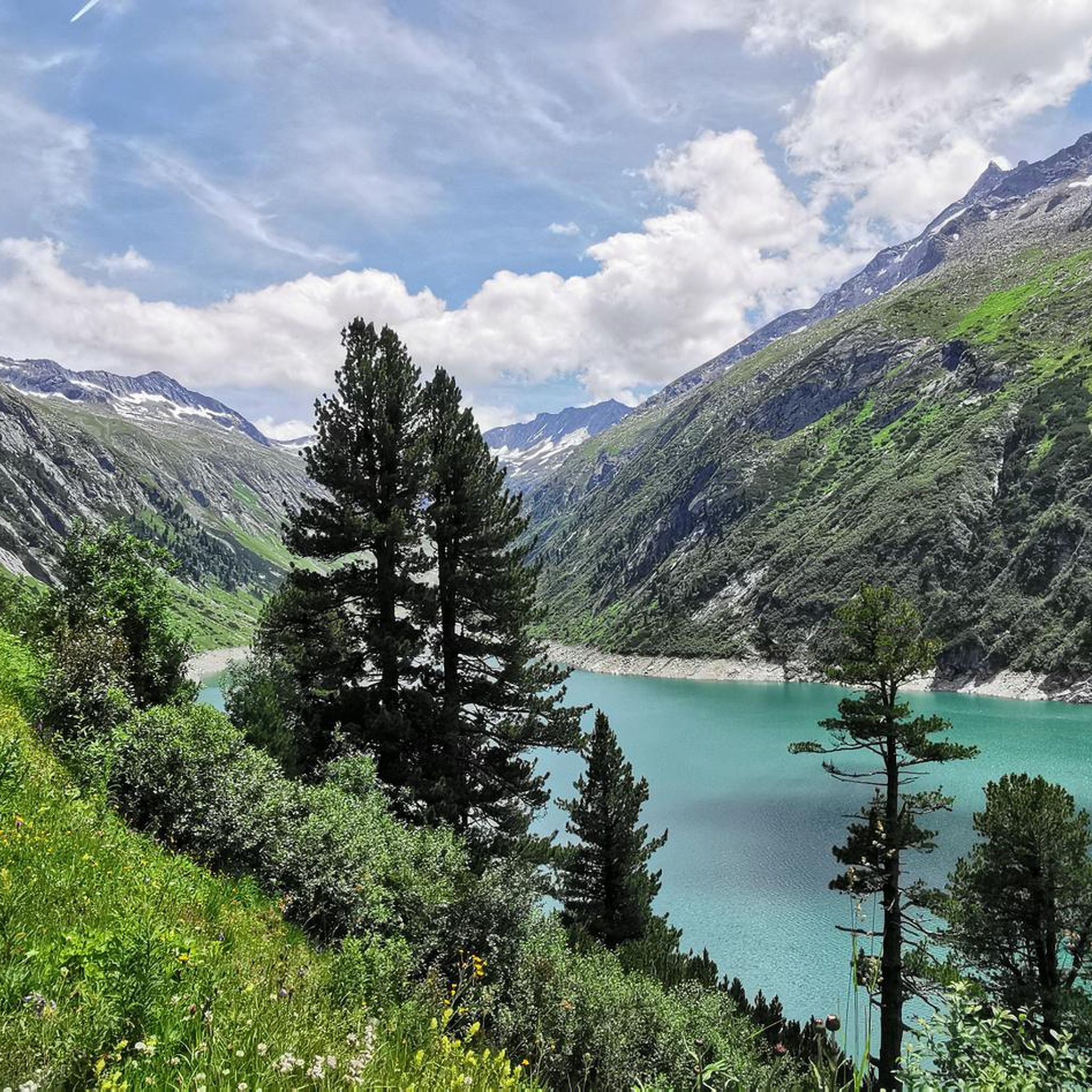
MTB Trails around Brandberg
Road Cycling Routes around Brandberg
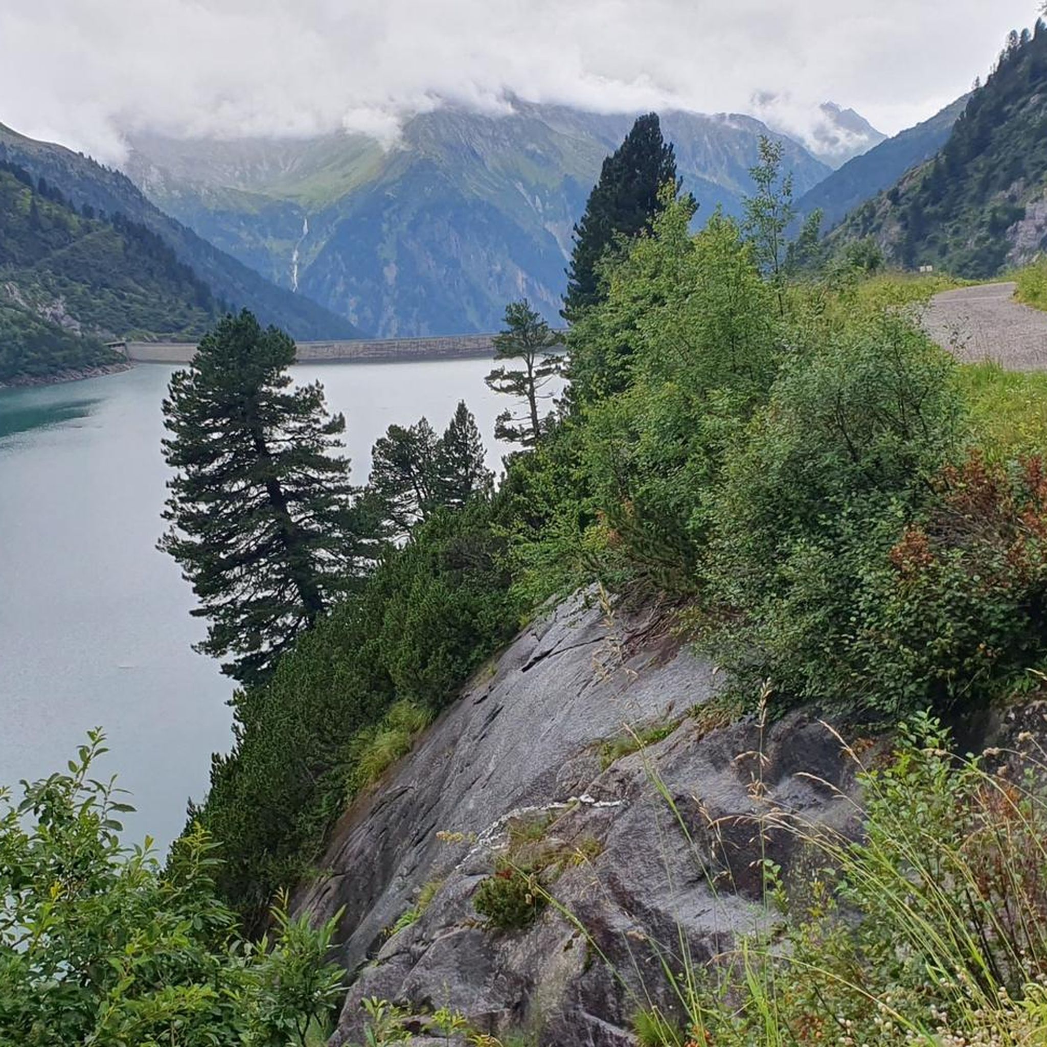
Cycling around Brandberg
Mountain Hikes around Brandberg
Other adventures around Brandberg


Tips from the Community

Not recommended with E-MTB due to the long pushing sections in difficult, steep, winding and blocked terrain (path) on the north side below Krimmler Tauern (pass)! Snowfields are difficult to pass with E-MTB on the uphill. The physics quickly show that the pushing-assist torque (due to weight distribution and obstacles on the path uphill) reaches the limits of tire friction, almost regardless of how knobby the tread is or how soft the rubber compound is. Because on loose ground, traction limits power transfer, not the motor. In addition, the low base speed with pushing assist means that obstacles uphill cannot be rolled over. Feasible with MTB. Mid-July to mid-September is the optimal time. Author's tip Weather must be good before and after the Tauern pass. On the pass on the Italian side, there is an open shelter with a bench. Bivy bag and thin down sleeping bag for emergencies. Possibility of emergency call via satellite phone is a prerequisite. If you actually want to go up from Krimmler Tauernhaus to the Tauern pass (Krimmler Tauern) with an MTB, you have to be prepared for long pushing and carrying sections. This requires extremely good fitness and the will to get there. On the other side down into the Ahrntal, there are only shorter pushing sections, but those with stones blocked paths (water channels) are not particularly pleasant to ride. After the Tauernalm, hairpin turns with lifting the rear wheel.
0
0
Not recommended with E-MTB!!! Due to the long pushing sections on difficult, steep, winding, and blocked terrain (path) north of Krimmler Tauern (pass), physics quickly shows that the pushing assistance torque (due to weight distribution and obstacles on the uphill path) reaches the limits of tire friction, almost regardless of how aggressive the tread is or how soft the rubber compound is. Because on loose ground, traction limits power transfer and not the motor. Furthermore, the low base speed with pushing assistance ensures that obstacles on the uphill cannot be rolled over.
0
0
The weather must be good before and after Tauernpass. On the pass on the Italian side, an open shelter with a bench. Bivy bag and a thin down sleeping bag for emergencies. Possibility of using a satellite emergency phone is a prerequisite. If you actually want to go up to the Tauernpass (Krimmler Tauern) with an MTB from the Krimmler Tauernhaus, you have to expect long pushing and carrying sections. This requires extremely good fitness and the will to get there. On the other side down into the Ahrntal valley, there are only shorter pushing sections, but the paths blocked by stones (water channels) are not particularly pleasant to ride. After the Tauernalm, hairpin bends require lifting the rear wheel.
0
0

interesting transition from South Tyrol to North Tyrol and a great ski tour to the Schüttalkopf
0
0

It's simply something special - crossing the national border by bike.
0
0

Route on a wide road from Riva di Tures to the Austrian border. (one could continue with a long route and then re-enter Italy via the Passo Stalle : Anterselva di Sopra.
0
0

The climb up there is worth it... A mega view
3
0

Beware of the snow along the way. June can still be too early to cross the pass without snow. It was still meters high for us and we always caved in up to our hips.
0
0
Frequently Asked Questions
What are the primary access routes or 'mountain passes' in the Brandberg region?
In the Brandberg region, what are referred to as 'mountain passes' are primarily river valleys and gorges that serve as hiking routes. Notable examples include the Ga'aseb River Valley, known as one of the easier (though still steep) routes to the summit, Königstein; the Hungurob River Valley, rich in rock paintings; the Tsisab River Valley (Tsisab Gorge), famous for the 'White Lady' painting; and the Amis Canyon, offering longer hiking options and featuring the 'Snake Cave'.
What makes the Brandberg region's 'passes' worth visiting?
The Brandberg region offers a unique blend of natural beauty and cultural heritage. Visitors are drawn to its internationally recognized historic rock paintings, with an estimated 45,000 to 50,000 artworks across 900 sites. The challenging hikes lead to magnificent panoramic mountain views from higher elevations, including the Königstein summit. Additionally, the region boasts unique flora and fauna, thriving in sheltered microclimates within the gorges, and provides a challenging wilderness hiking experience.
What is the best time to visit Brandberg for hiking and exploring its gorges?
The best time to visit Brandberg for hiking and exploring its natural pathways is during the cooler, drier months, which typically run from April to September. This period offers more comfortable conditions for strenuous activities on the steep, rocky terrain.
Are permits and guides required to hike in the Brandberg region?
Yes, permits are required for hiking in the Brandberg region and can be obtained through the National Heritage Council Namibia (NHCN). Furthermore, guided tours are essential for exploring the rock art sites and trails. Local guides provide invaluable insights into the area's geology, flora, fauna, and significant cultural history, and are crucial for preventing vandalism, especially at sensitive sites like the 'White Lady' painting.
What kind of rock art can be found in the Brandberg gorges?
The Brandberg is home to an extraordinary collection of prehistoric rock art, primarily attributed to the San (Bushmen) people, with some paintings dating back 2,000 to 4,000 years. The Tsisab Gorge alone contains over 1,000 rock shelters and more than 45,000 rock paintings. The most famous is the 'White Lady' painting in Tsisab Gorge, though modern interpretations suggest it depicts a warrior or shaman. The Amis Canyon also features animal paintings, such as those found in the 'Snake Cave'.
How difficult are the hiking trails in the Brandberg region?
Hiking in the Brandberg region is generally considered difficult and strenuous. The terrain is steep and rocky, and reaching higher elevations requires a high level of fitness and endurance. While challenging, this contributes to an unforgettable adventure for those seeking a true wilderness experience.
What are some of the specific hiking routes or trails available in Brandberg's gorges?
Specific hiking routes include the Ga'aseb River Valley, which can be a 1-to-3-day trip to the Königstein summit and premier rock art sites. The route to the 'White Lady' painting in Tsisab Gorge is about five kilometers long over rough terrain. For a longer exploration, the Amis Canyon offers a potential 5-day trip.
What unique natural features can be observed in the Brandberg area?
The Brandberg massif is characterized by dramatic granite cliffs, unique geological formations, and vast barren plains. It lies in a transition zone between the Namib Desert and savanna, fostering rich biodiversity. Hidden ravines and spring oases within the gorges create sheltered microclimates that support plants and birds not typically found in the surrounding dry plains, making it a fascinating area for nature observation.
Are there any family-friendly options for exploring the Brandberg region?
While the overall hiking experience in Brandberg is considered challenging and strenuous, requiring permits and local guides, some shorter, less demanding sections of the gorges might be accessible for families with older children who are accustomed to hiking. However, the rough terrain and required accompaniment by a guide mean that visitors should inquire locally about specific family-friendly routes that balance accessibility with the need for safety and preservation.
What outdoor activities can I do near the Brandberg region's 'mountain passes'?
While the Brandberg itself is focused on challenging hikes through its gorges to rock art sites and the summit, the broader region offers various outdoor activities. You can find a range of easy hikes around Brandberg, as well as options for cycling and mountain biking. These nearby routes provide opportunities to explore the diverse landscapes surrounding the massif.
What is the 'White Lady' painting and where can it be found?
The 'White Lady' is one of the most famous rock paintings in the Brandberg, located in the Tsisab River Valley (Tsisab Gorge). Although popularly named by Henri Breuil in 1955, scientists now interpret it as depicting a warrior or shaman. The route to view this iconic painting is about five kilometers long over rough terrain and requires accompaniment by a local guide to ensure its preservation.
What are the best conditions for viewing the rock paintings in Brandberg?
To best appreciate the intricate details of the rock paintings and avoid the harsh midday sun, viewing is recommended in the early morning or late afternoon. This timing also helps to mitigate the effects of the desert heat, making the experience more comfortable.
Most popular routes around Brandberg
Most popular attractions around Brandberg

Get inspired with the komoot mobile app


Explore more
See even more epic mountain passes by checking out these guides around Brandberg:
