The best running trails around Brandberg
4.5
(221)
7,270
runners
197
runs
Jogging routes around Brandberg are set within an isolated granite massif that rises from the flat desert plains of the Erongo region in western Namibia. The terrain is characterized by steep, rocky inclines, deep ravines, granite domes, and boulder fields. This environment offers a demanding experience for trail running and intense jogs, with elevations reaching over 2500 meters. The area supports unique desert-adapted flora and fauna, adding to the varied landscape.
Best jogging routes around Brandberg
- The most popular jogging…
Last updated: June 24, 2026
43
runners
7.15km
00:59
410m
410m
Hard run. Very good fitness required. Mostly paved surfaces. Suitable for all skill levels.
37
runners
Easy run. Great for any fitness level. Mostly paved surfaces. Suitable for all skill levels.

Sign up for free
18
runners
9.02km
01:03
230m
230m
Moderate run. Good fitness required. Mostly paved surfaces. Suitable for all skill levels.
5.0
(1)
14
runners
6.30km
00:39
50m
50m
Moderate run. Good fitness required. Mostly paved surfaces. Suitable for all skill levels.
11
runners
5.36km
00:34
60m
60m
Moderate run. Good fitness required. Mostly paved surfaces. Suitable for all skill levels.
Get access to more routes and recommendations from other explorers.
Sign up for free
Already have an account?
Our route recommendations are based on thousands of hikes, rides, and runs completed by other people on komoot.
Start today with a free account
Your next adventure awaits.
Login or Signup
Popular around Brandberg
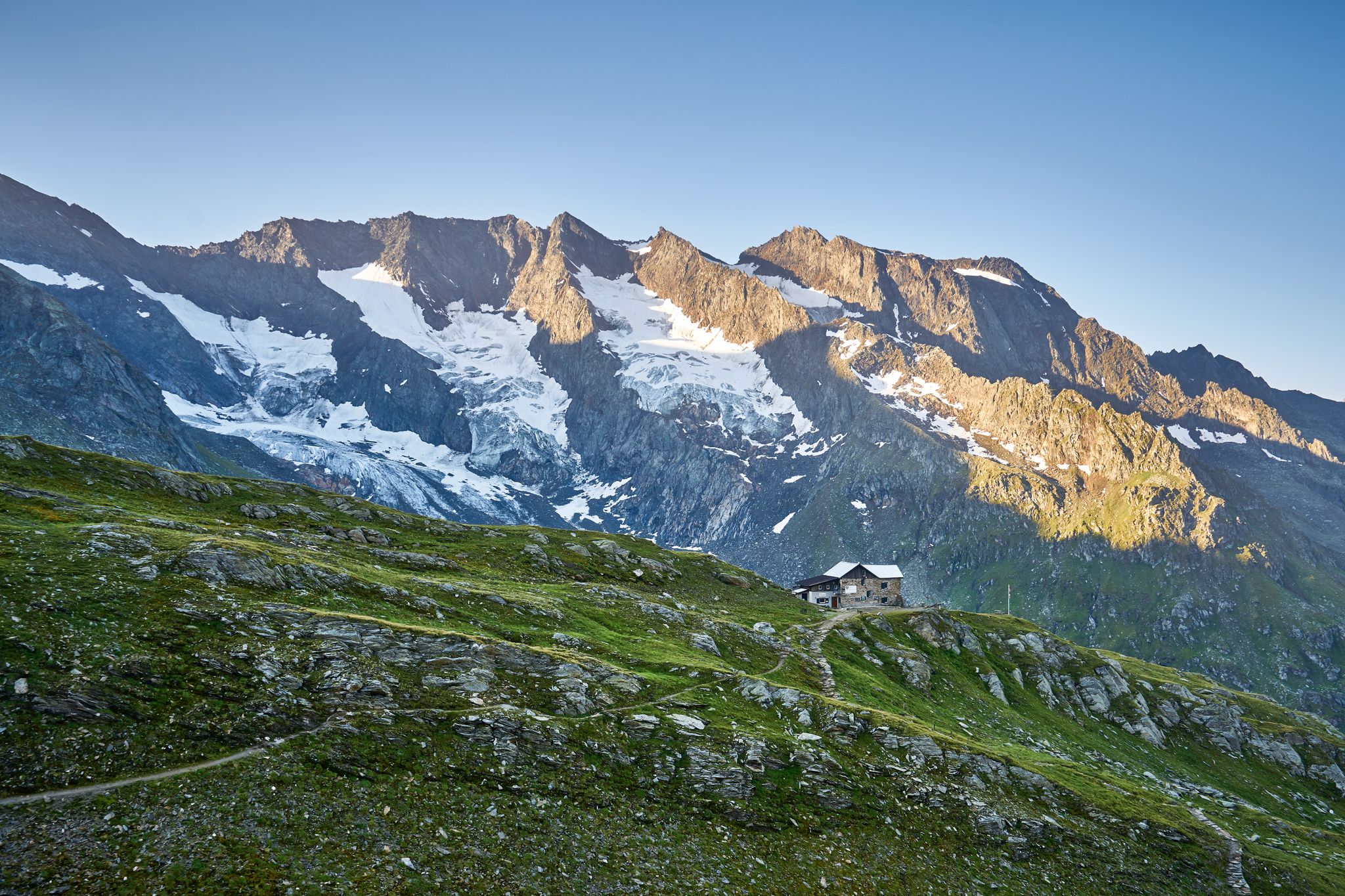
A superb hut-to-hut adventure over the main Alpine ridge – Dreiländertour
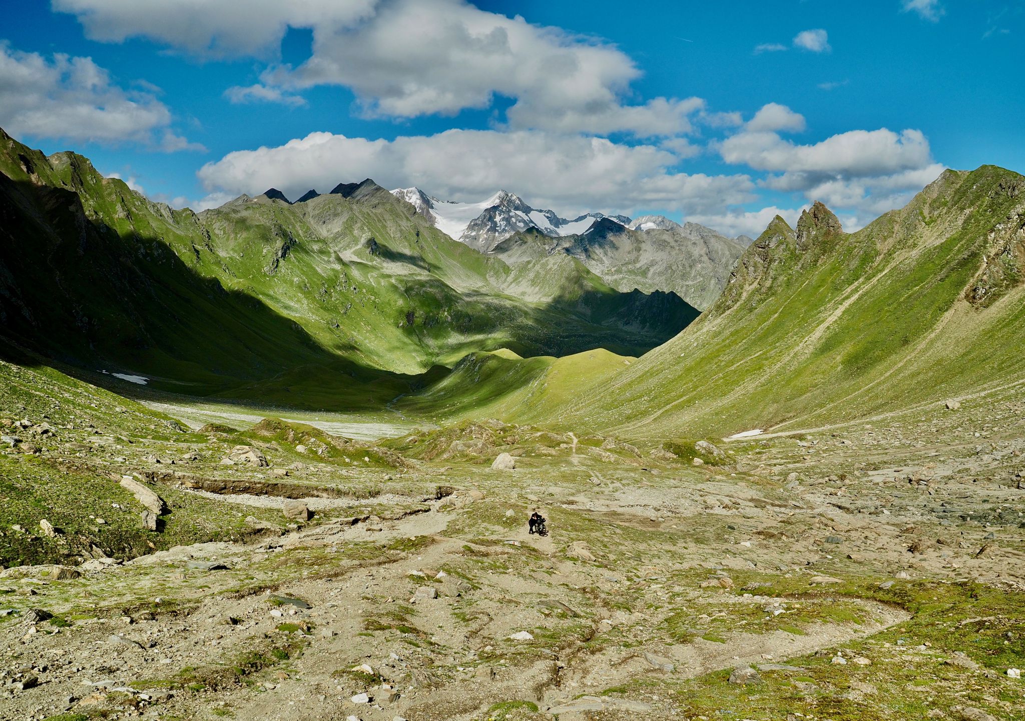
The Zillertal Trail – three passes and a howling dog
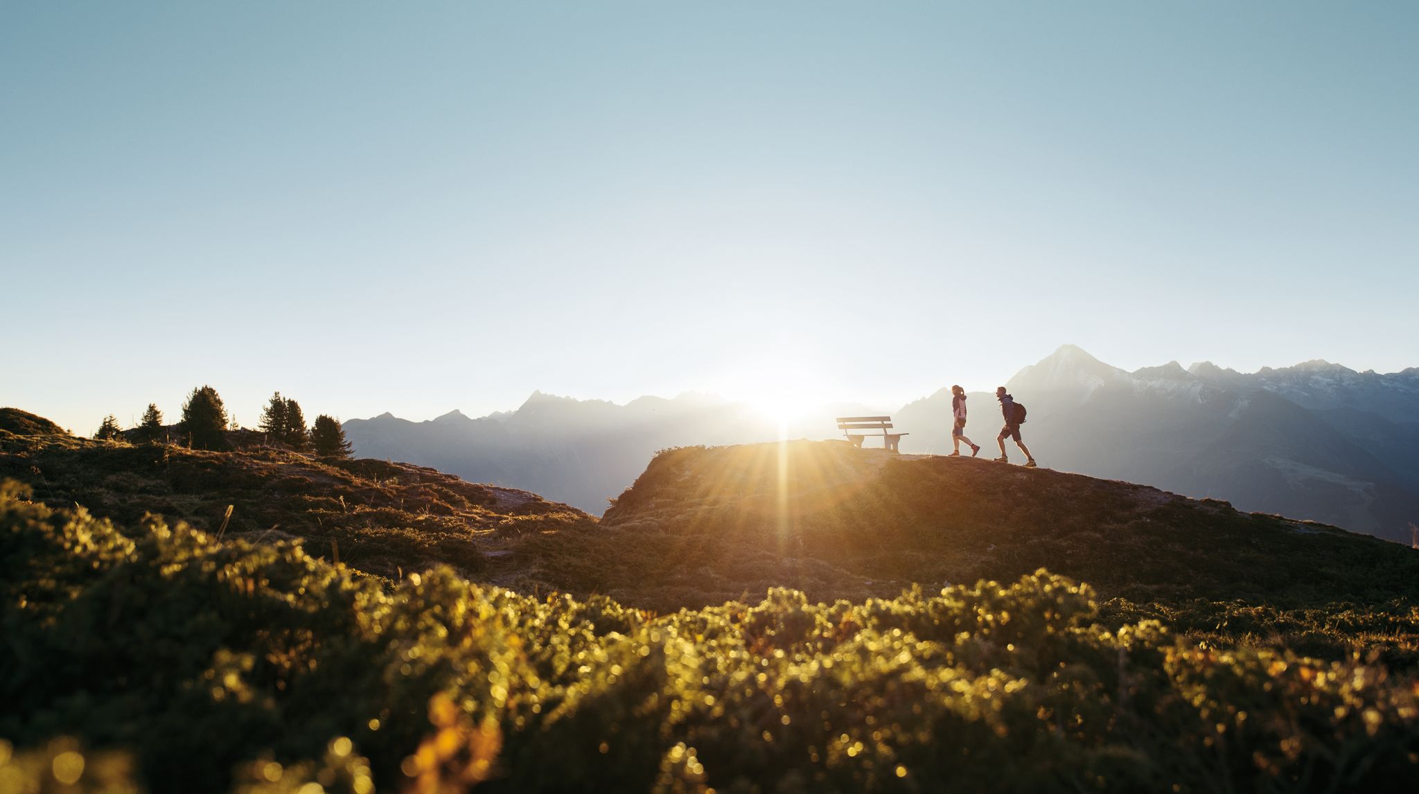
A peaceful haven in the mountains – hiking in Zillertal
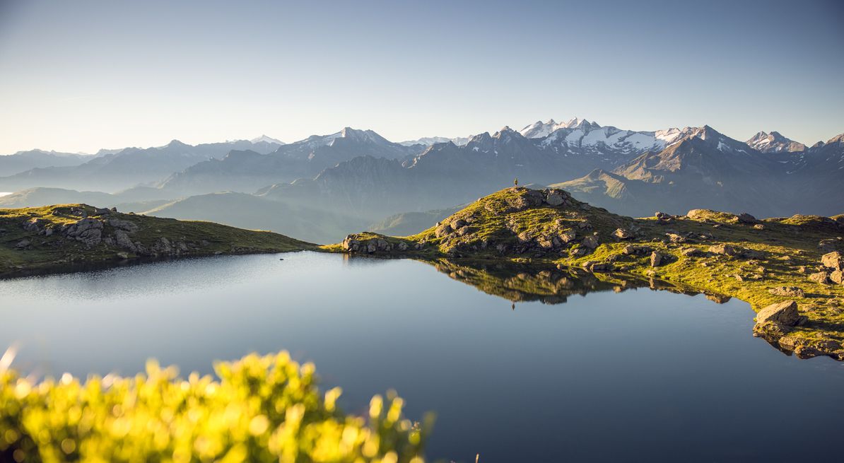
Panoramic hiking Tours with a far-reaching view in the Zillertal
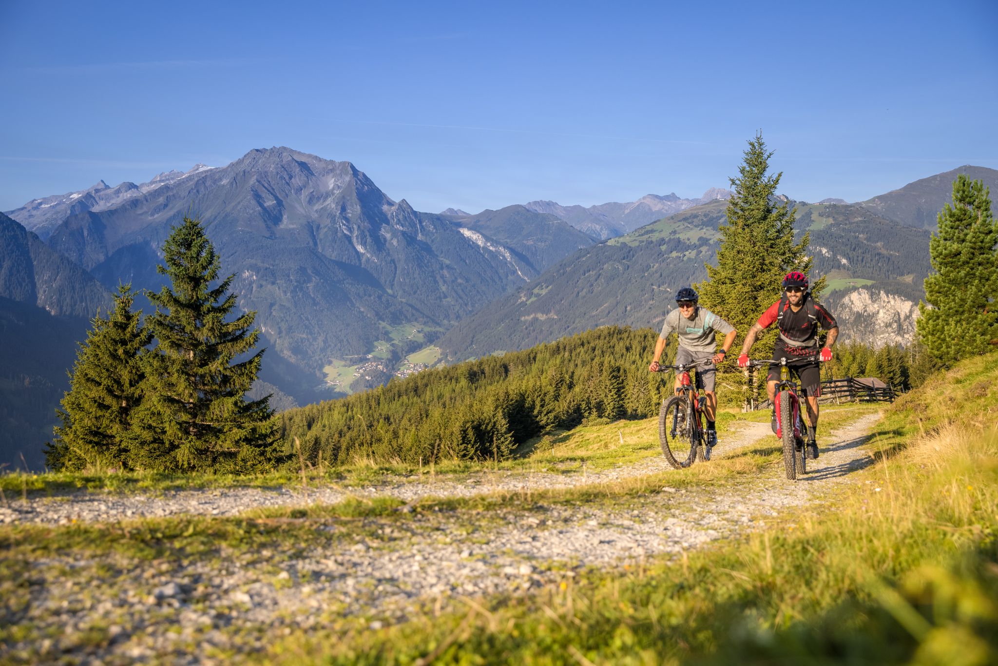
Biketouren mit Weitblick im Zillertal
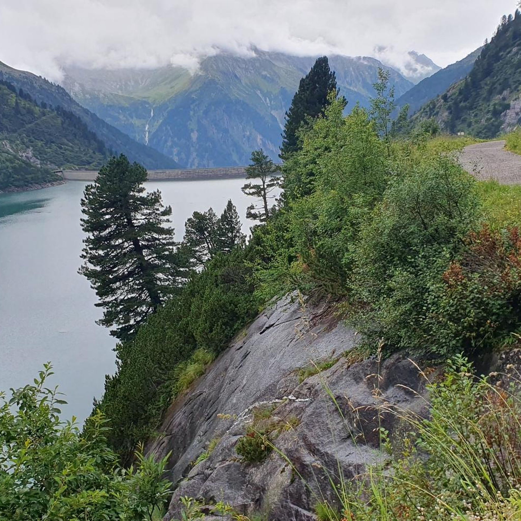
Hiking around Brandberg
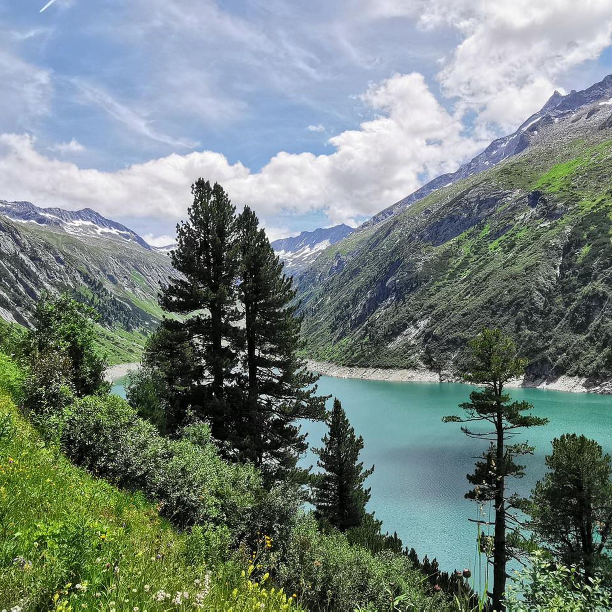
MTB Trails around Brandberg
Road Cycling Routes around Brandberg
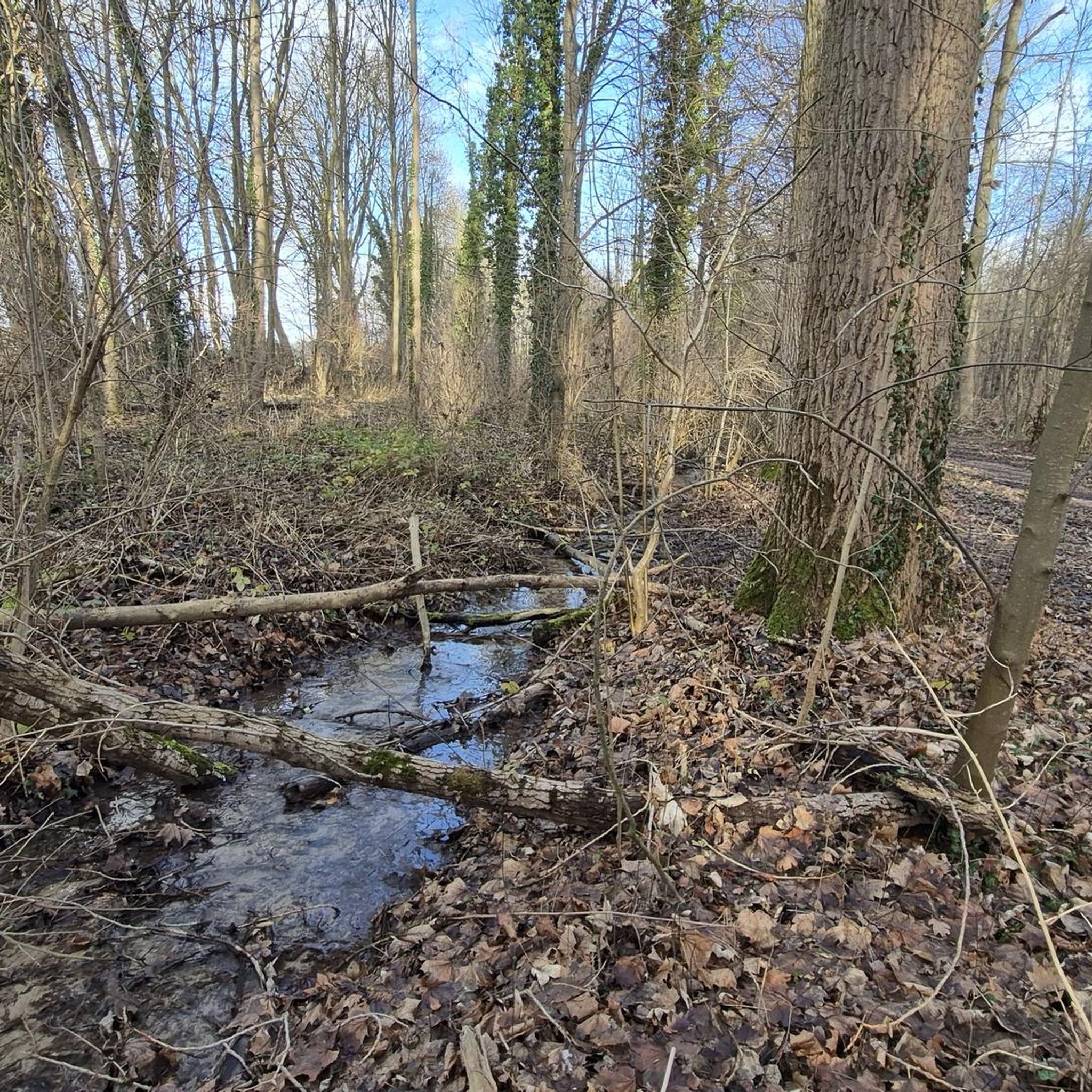
Mountain Hikes around Brandberg
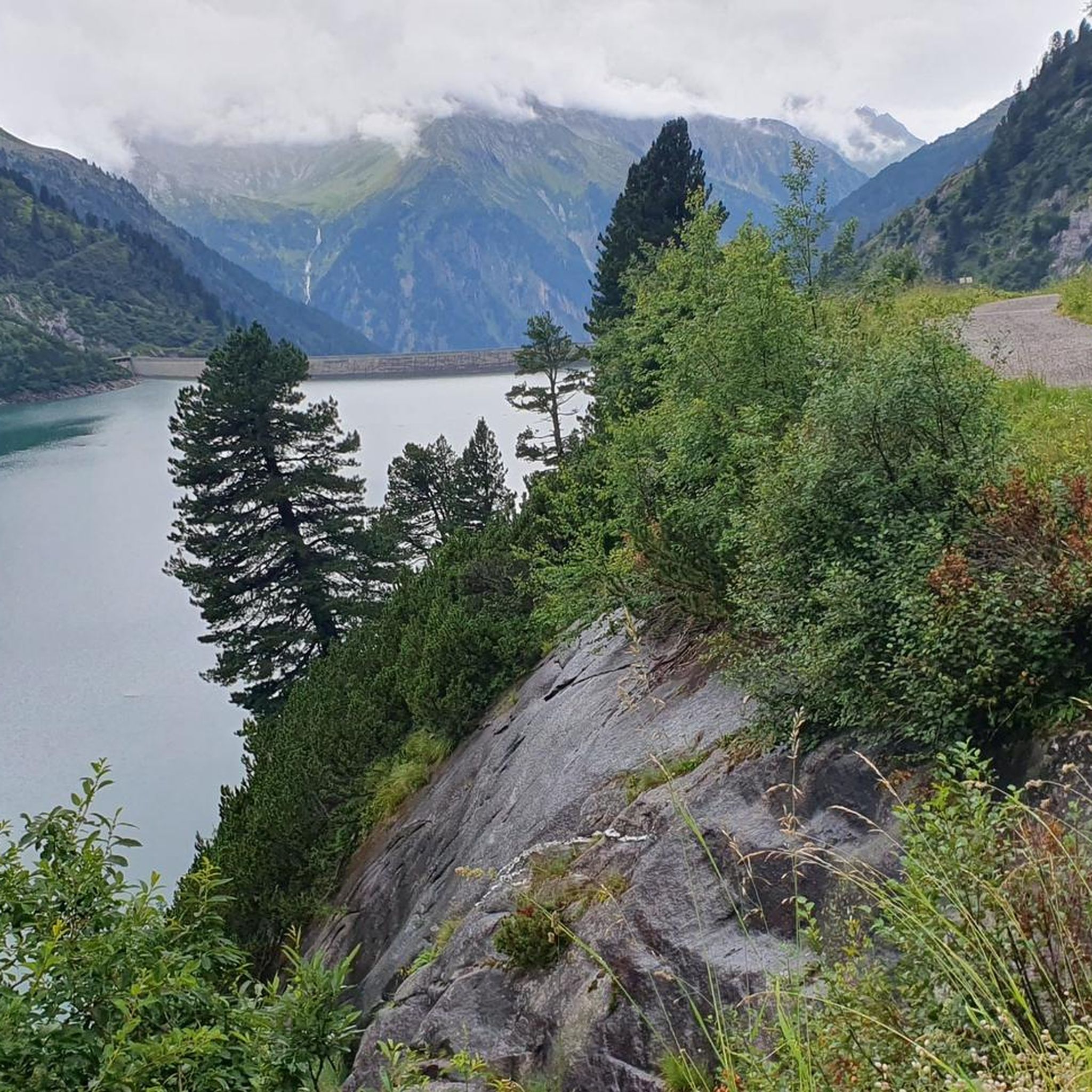
Cycling around Brandberg
Other adventures around Brandberg


Tips from the Community

Beautiful path along the Ziller, whether on foot or by bike.
4
0

From here, only hikers and cyclists are allowed to continue using the road for free. It's still easy to walk or cycle, though. Just a few meters uphill 🙃 Toll for cars: €12.
0
0

Traffic-free gravel path, ideal for walking or running.
0
0

Access to the Ziller River is a great way to refresh yourself while running. But enter at your own risk.
0
0

A wooden bridge in Mayrhofen
2
0

Opposite these buildings is a beautiful old bridge
2
0
Frequently Asked Questions
What kind of running trails can I expect in Brandberg?
Running trails around Brandberg are set within an isolated granite massif, characterized by steep, rocky inclines, deep ravines, granite domes, and boulder fields. This environment offers a demanding experience for trail running and intense jogs, with elevations reaching over 2500 meters. You'll find a mix of easy paths to challenging, difficult trails, supporting unique desert-adapted flora and fauna.
How many jogging routes are available in the Brandberg area?
There are over 175 running routes available in the Brandberg area, catering to various skill levels. This includes approximately 17 easy routes, 63 moderate routes, and 95 difficult routes for those seeking a significant challenge.
Are there any easy running routes suitable for beginners in Brandberg?
Yes, for those looking for an easier experience, there are routes like Zillertal Panorama View – Access to the Ziller River loop from Mayrhofen. This 2.9 miles (4.7 km) path offers a more gentle experience with minimal elevation changes, perfect for beginners or a relaxed jog.
What is the best time of year to go jogging or trail running in Brandberg?
The cooler, drier months of April to September are generally recommended for visits. The extreme heat during summer months (October to April) can be mentally and physically taxing, making early starts, adequate hydration, and sun protection critical if you choose to run during that period.
What are some of the more challenging running trails in Brandberg?
For experienced runners seeking a challenge, routes like View of Mayrhofen – Mayrhofen Covered Bridge loop from Mayrhofen offer significant elevation gain over 4.4 miles (7.2 km), making them a difficult option. The rugged and steep terrain throughout Brandberg provides an excellent cardiovascular and strength-building workout.
Are there any circular running routes in Brandberg?
Yes, many routes in Brandberg are designed as loops. For example, the Zillergrund Valley loop from Mayrhofen is a 5.6 miles (9.0 km) trail leading through varied terrain, often completed in about 1 hour 2 minutes. Another option is the Mayrhofen Parish Church – Ibex Statue, Mayrhofen loop from Mayrhofen, a moderate 6.05 km route.
What kind of natural features or landmarks can I see while running in Brandberg?
Brandberg is known for its dramatic granite massif, deep ravines, and unique desert-adapted flora like the ancient Welwitschia plants. You might also spot fauna such as klipspringers, baboons, and rock hyraxes. For specific natural attractions, consider exploring areas near the Krimml Waterfalls Trail or Ahorn Lake, which are notable natural monuments in the broader region.
What do other runners think about the trails in Brandberg?
The running routes in Brandberg are highly rated by the komoot community, with an average score of 4.5 stars from over 190 reviews. More than 6000 runners have used komoot to explore Brandberg's varied terrain, often praising the challenging yet rewarding experience and the unique desert landscapes.
What should I consider regarding safety and navigation when running in Brandberg?
Due to the remote and rugged nature of Brandberg, a high level of fitness and endurance is essential. Trails can be poorly marked with many branches and boulder fields, so a licensed guide is highly recommended for safety and for insights into the area's significance. Always carry sufficient water and sun protection, especially given the arid climate.
Are there any routes that offer scenic viewpoints in Brandberg?
While the entire Brandberg massif offers sweeping panoramic views of the surrounding valleys and desert plains, specific highlights like the Penken Mountain Adventure Area provide excellent vantage points. The challenging ascent to Königstein, Brandberg's highest peak, also rewards with breathtaking vistas.
What is the typical duration for a running route in Brandberg?
The duration of running routes in Brandberg varies significantly based on difficulty and distance. For instance, an easy 2.9-mile route might take around 30 minutes, while a moderate 5.6-mile trail like the Mayrhofen Covered Bridge – Mayrhofen loop from Mayrhofen could take about 33 minutes. More difficult routes with significant elevation can take over an hour.
Is Brandberg suitable for trail running with dogs?
While the guide does not specifically mention dog-friendly routes, the remote and rugged nature of Brandberg means that you should exercise caution. The terrain can be challenging for pets, and the extreme heat and lack of water sources require careful planning. Always ensure your dog is fit for such conditions and carry ample water for both of you.
Most popular routes around Brandberg
Most popular attractions around Brandberg

Get inspired with the komoot mobile app


Explore more
Browse the best Running Trails & Routes in other regions.
