The best running trails around Dauberville
5.0
(1)
115
runners
3
runs
Jogging around Dauberville offers access to diverse landscapes within Berks County, Pennsylvania. The region is characterized by large reservoirs and dense forests, providing varied terrain for outdoor activities. Joggers can explore extensive trail networks, including lakeside paths and woodland trails, many featuring gentle to moderate elevation changes. This natural environment supports a range of running experiences for different fitness levels.
Best jogging routes around Dauberville
- The most popular jogging route is Blue Marsh Lake Multi-Use Trail, a 6.4 miles…
Last updated: August 15, 2026
1
runners
10.3km
01:15
60m
60m
Moderate run. Good fitness required. Mostly paved surfaces. Suitable for all skill levels.
6.10km
00:45
40m
40m
Moderate run. Good fitness required. Mostly paved surfaces. Suitable for all skill levels.

Sign up for free
24
runners
Hard run. Very good fitness required. Mostly paved surfaces. Suitable for all skill levels.
26
runners
21.9km
02:27
370m
370m
Hard run. Very good fitness required. Mostly paved surfaces. Suitable for all skill levels.
20
runners
8.76km
00:55
20m
20m
Moderate run. Good fitness required. Mostly paved surfaces. Suitable for all skill levels.
Our route recommendations are based on thousands of hikes, rides, and runs completed by other people on komoot.
Start today with a free account
Your next adventure awaits.
Login or Signup
Popular around Dauberville

Tips from the Community

In total, the Lake Border Trail is a nearly 30-mile loop around Blue Marsh Lake. The southern part of the trail sees more users than the northern part, but the entire trail system sees quite a few trail users on a daily basis. The trail is open to hikers, runners, and cyclists, but the trails should be avoided after rainy days because they can get pretty muddy.
0
0

The view of the lake from the Lake Border Trail is lovely, with plenty to take in. Keep your eye out for the varied bird species that live around the lake.
0
0
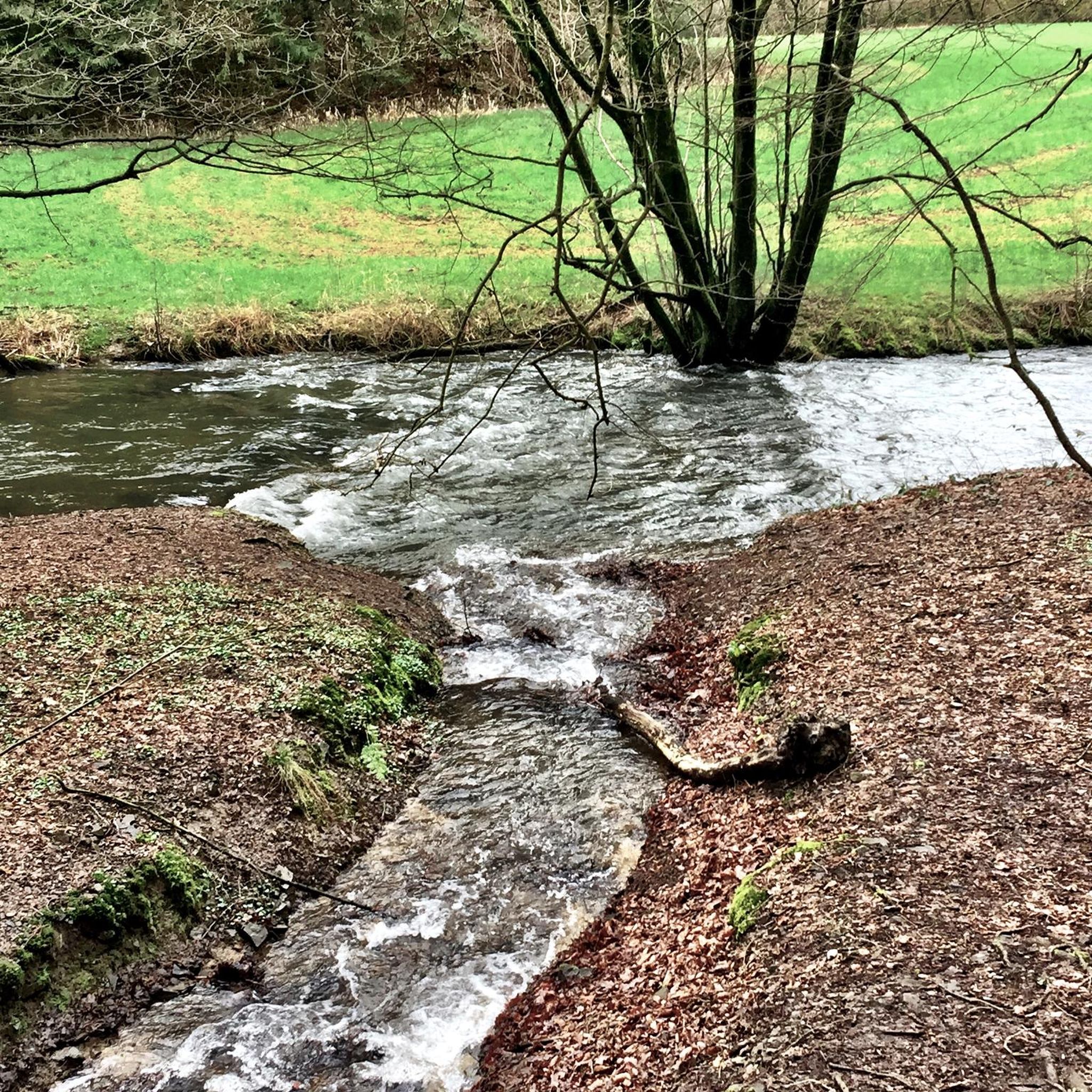
This small footbridge crosses the creek. There are a number of bridges on the Lake Border Trail, and they can get pretty slick in the early mornings and after rainy days.
0
0

Great view of the lake from here. If you want, you can shorten your journey on the Lake Border Trail by crossing the bridge. There is plenty of space for cyclists and pedestrians.
0
0

The Lake Border Trail is a great trail that runs alongside the banks of Tulpehocken Creek. It is well maintained and signed, but there is a fair amount of elevation change, so it is considered to be moderately challenging.
0
0
In total, the Lake Border Trail is a nearly 30-mile loop around Blue Marsh Lake. The southern part of the trail sees more users than the northern part, but the entire trail system sees quite a few trail users on a daily basis. The trail is open to hikers, runners, and cyclists, but the trails should be avoided after rainy days because they can get pretty muddy.
0
0
The Lake Ontelaunee Trail follows along the banks of the lake while diving in and out of the trees. It also crosses over a few creeks and offer the opportunity to see a lot of flora and fauna along the path. This is the second-largest lake in the county and is open to a number of recreational activities.
0
0
The Lake Border Trail is a great trail that runs alongside the banks of Tulpehocken Creek. It is well maintained and signed, but there is a fair amount of elevation change, so it is considered to be moderately challenging.
0
0
Frequently Asked Questions
How many running routes are available around Dauberville?
There are several dedicated running routes around Dauberville, with komoot featuring 5 top-rated trails. These routes offer a variety of distances and difficulties, catering to different fitness levels.
Are there any easy running routes for beginners in Dauberville?
Yes, while many routes have moderate sections, the region's lakeside paths and woodland trails often feature gentle elevation changes, making them suitable for beginners. For example, the Lake Ontelaunee Trail is a moderate 3.8-mile path that provides a pleasant experience along the lake shores.
What kind of scenery can I expect on jogging trails in Dauberville?
Jogging routes in Dauberville are characterized by diverse landscapes, including large reservoirs and dense forests. You'll find scenic lakeside paths offering views of bodies of water like Blue Marsh Lake and Lake Ontelaunee, as well as tranquil woodland trails winding through natural environments.
Are there any long-distance running loops for experienced runners?
Absolutely. For experienced runners seeking a challenge, the Running loop from Blue Marsh Dike A is a difficult 19.7-mile (31.7 km) trail that leads through dense forests and around the reservoir, typically taking over three and a half hours to complete.
What are some notable landmarks or attractions I might see while running?
While running in the Dauberville area, you might encounter several interesting points. The Wertz's Covered Bridge and Church Road Bridge are historic structures. You can also explore sections of the Union Canal Trail or enjoy the views around Lake Ontelaunee.
Are there running routes that offer views of Blue Marsh Lake?
Yes, the Blue Marsh Lake National Recreation Area is a central feature for runners. The Blue Marsh Lake Multi-Use Trail is a popular moderate route that offers scenic views around the lake. Additionally, the Northern miles of the Lake Border Trail highlight provides specific access to lakeside views.
What do other runners say about the trails in Dauberville?
The komoot community frequently praises the varied terrain and natural beauty of Dauberville's running trails. Over 130 runners have explored these routes, enjoying the mix of lakeside paths and dense forests that define the region's outdoor experience.
Are there any circular running routes in the Dauberville area?
Many of the trails around Dauberville are designed as loops or offer loop options. For instance, the challenging Lake Border Trail – Tulpehocken Creek loop from Blue Marsh Dike A provides a substantial circular route for a longer run.
What is the typical difficulty level of running trails in Dauberville?
The running trails in Dauberville offer a range of difficulties. You'll find several moderate routes with gentle elevation changes, such as the Blue Marsh Lake Multi-Use Trail, as well as more difficult, longer loops like the Running loop from Blue Marsh Dike A, which features significant elevation gain.
Can I find running routes that combine lakeside and woodland environments?
Yes, Dauberville's landscape is ideal for this combination. Many routes, especially within the Blue Marsh Lake National Recreation Area, seamlessly blend lakeside paths with sections that delve into dense woodlands, offering a varied and engaging running experience.
Are there any running routes suitable for a quick workout?
For a quicker run, the Lake Ontelaunee Trail is a moderate 3.8-mile (6.1 km) path that can be completed in under an hour, providing a refreshing outdoor escape without requiring a long time commitment.
Most popular routes around Dauberville
Most popular attractions around Dauberville

Get inspired with the komoot mobile app


Explore more
Browse the best Running Trails & Routes in other regions.
