Top 16 Mountain Passes around Sankt Pankraz - San Pancrazio
Best mountain passes around Sankt Pankraz - San Pancrazio offer access to mountain landscapes in the Ultental Valley (Val d'Ultimo) in South Tyrol, Italy. This region is characterized by the majestic foothills of the Ortler massif and provides diverse terrain. It serves as a gateway to both high-alpine routes and more accessible passes. The area offers varied opportunities for outdoor enthusiasts seeking mountain experiences.
Best mountain passes around Sankt Pankraz - San Pancrazio
- The most popular mountain passes is Ascent…
Last updated: July 10, 2026
Gampen Pass / Passo Palade
Highlight • Mountain Pass
Translated by Google •
Tip by

Laugen Spitze – Monte Luco
Highlight • Summit
The Laugen is located in the outermost Ulten Valley and flanks the southern side of the Ulten Mountains (mountain range of the Maddalene - Ilmenkamm). Different …
Translated by Google •
Tip by

Sign up now to discover places like this
Get recommendations on the best single tracks, peaks, & plenty of other exciting outdoor places.
Sign up for free
Ascent to Passo delle Palade from Lana
Highlight (Segment) • Mountain Pass
Translated by Google •
Tip by

Gampenpass (Passo Palade) bus stop
Highlight • Rest Area
Translated by Google •
Tip by

Gampen Pass (Passo Palade)
Highlight • Mountain Pass
Translated by Google •
Tip by

Sign up for free to discover even more mountain passes around Sankt Pankraz - San Pancrazio.
Sign up for free
Already have an account?
Start today with a free account
Your next adventure awaits.
Login or Signup
Popular around Sankt Pankraz - San Pancrazio
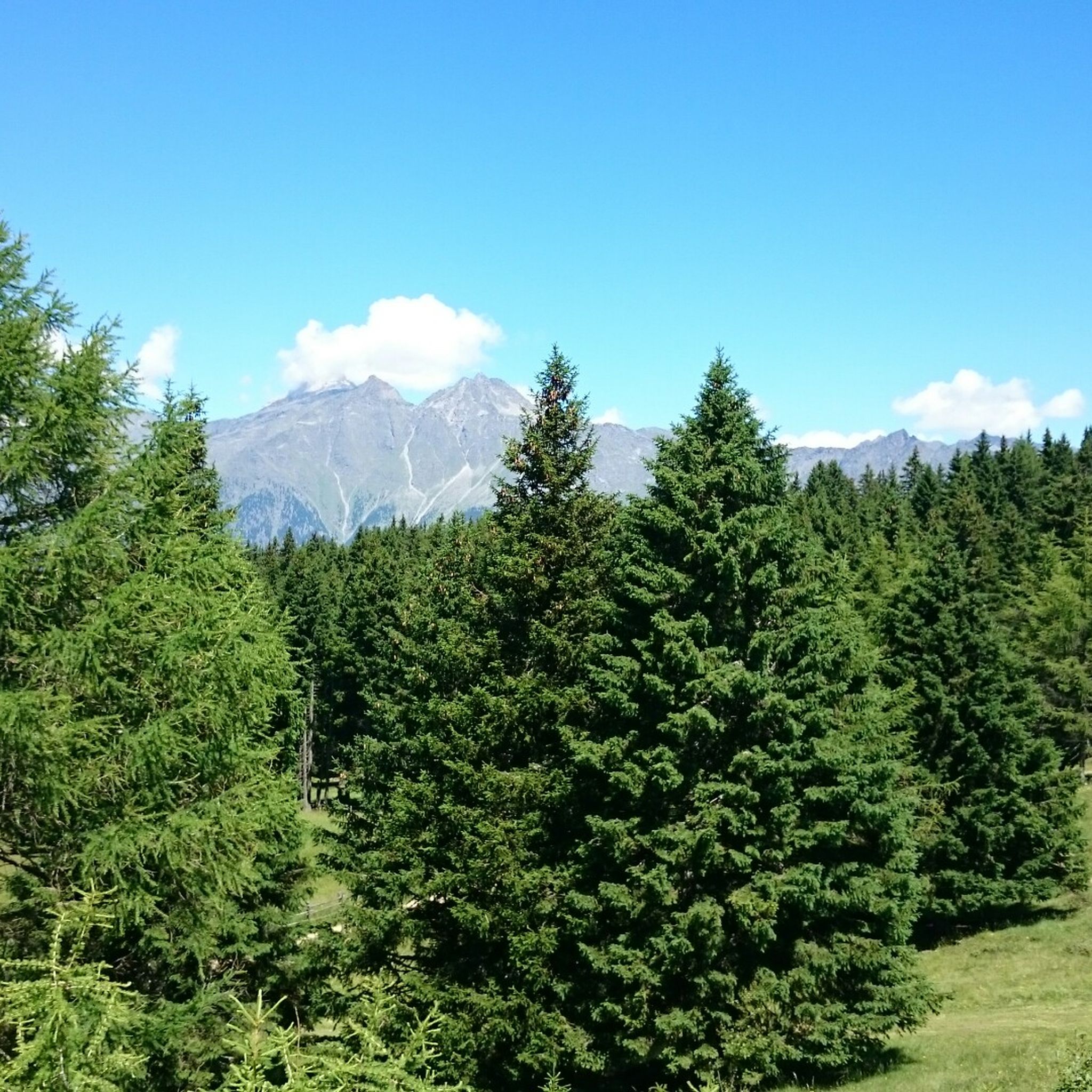
Hiking around Sankt Pankraz - San Pancrazio
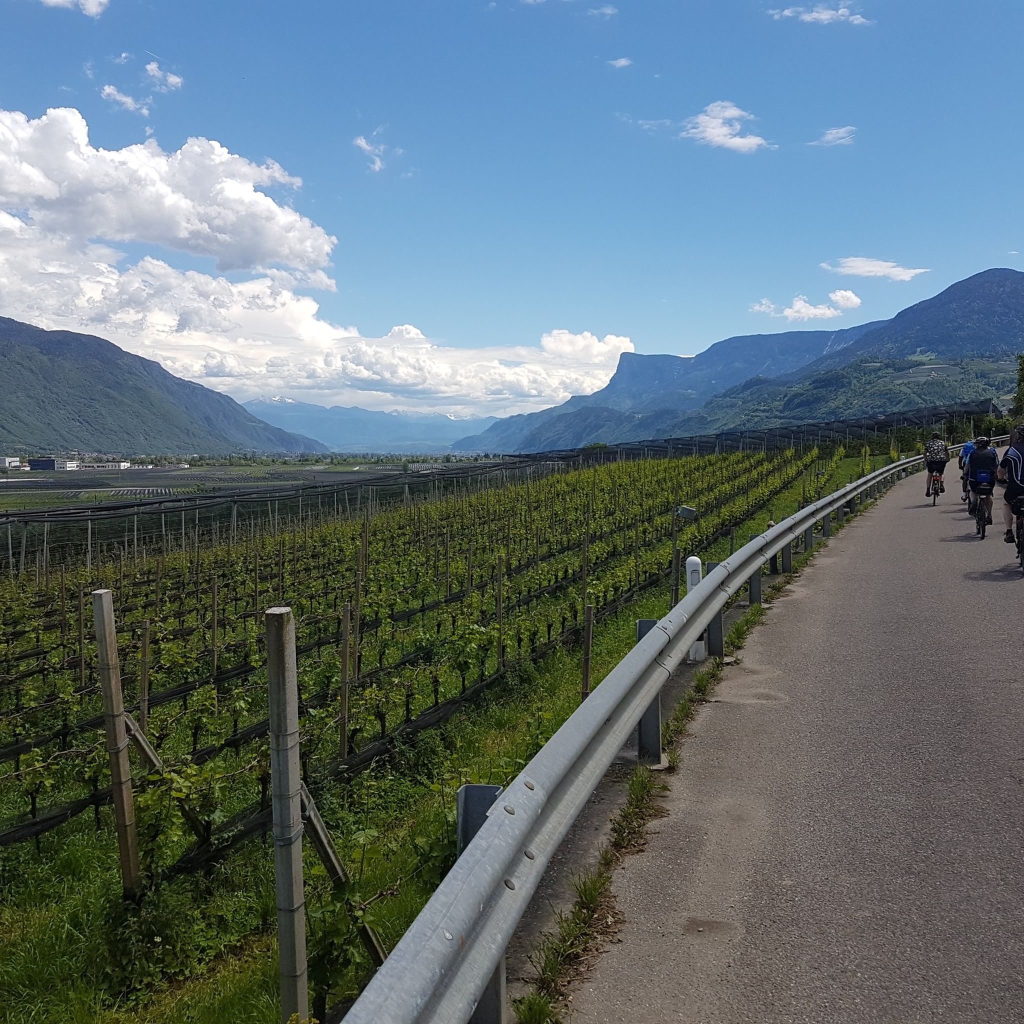
Cycling around Sankt Pankraz - San Pancrazio
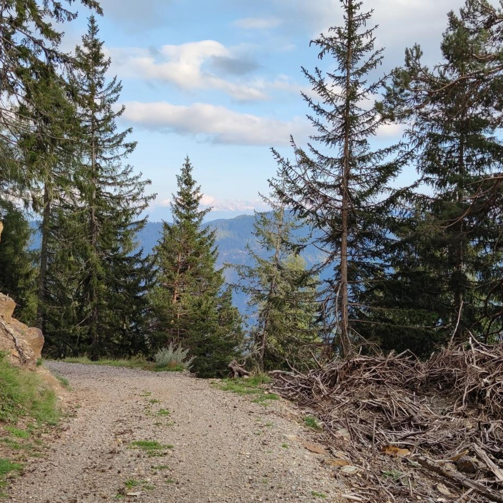
Running Trails around Sankt Pankraz - San Pancrazio
Road Cycling Routes around Sankt Pankraz - San Pancrazio
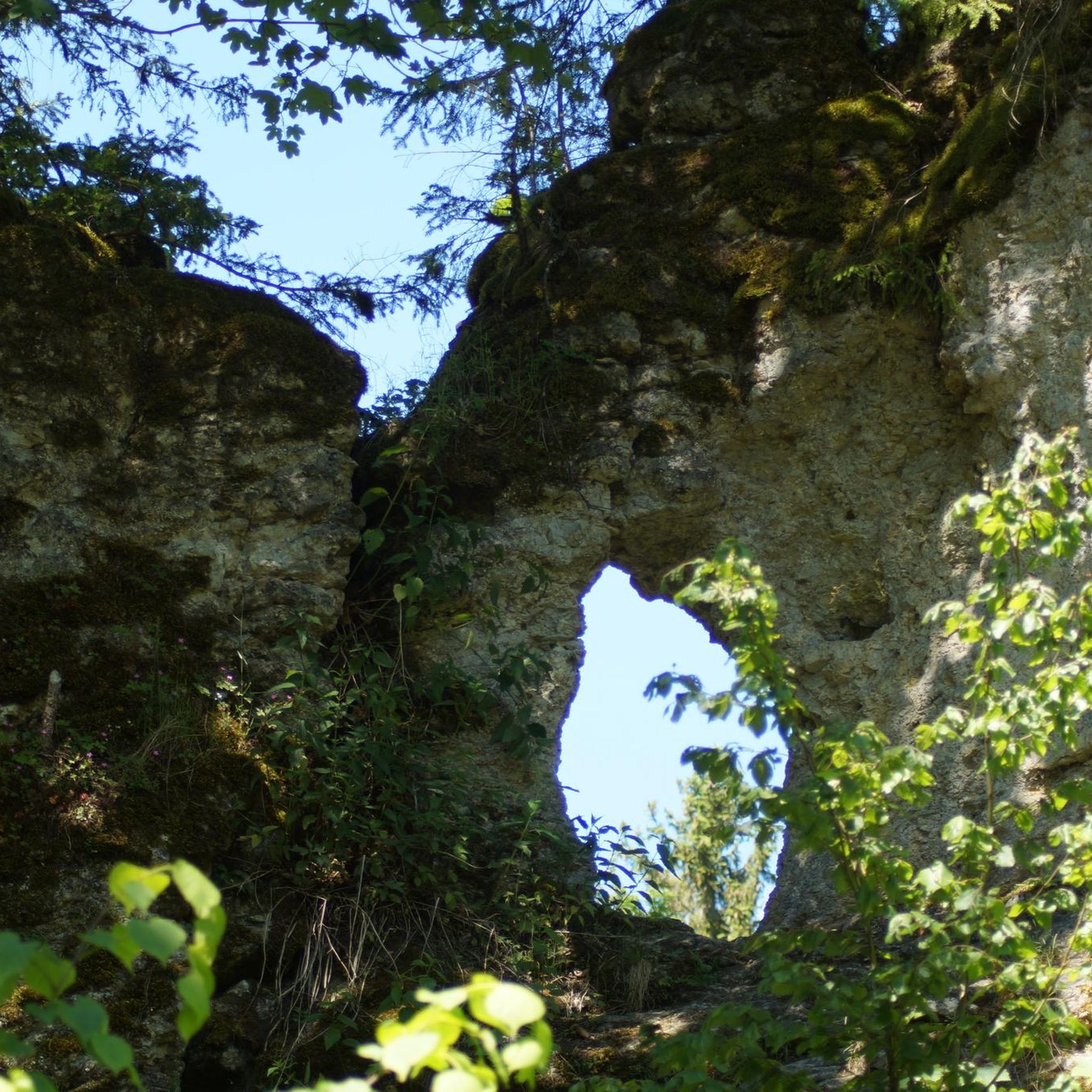
Mountain Hikes around Sankt Pankraz - San Pancrazio
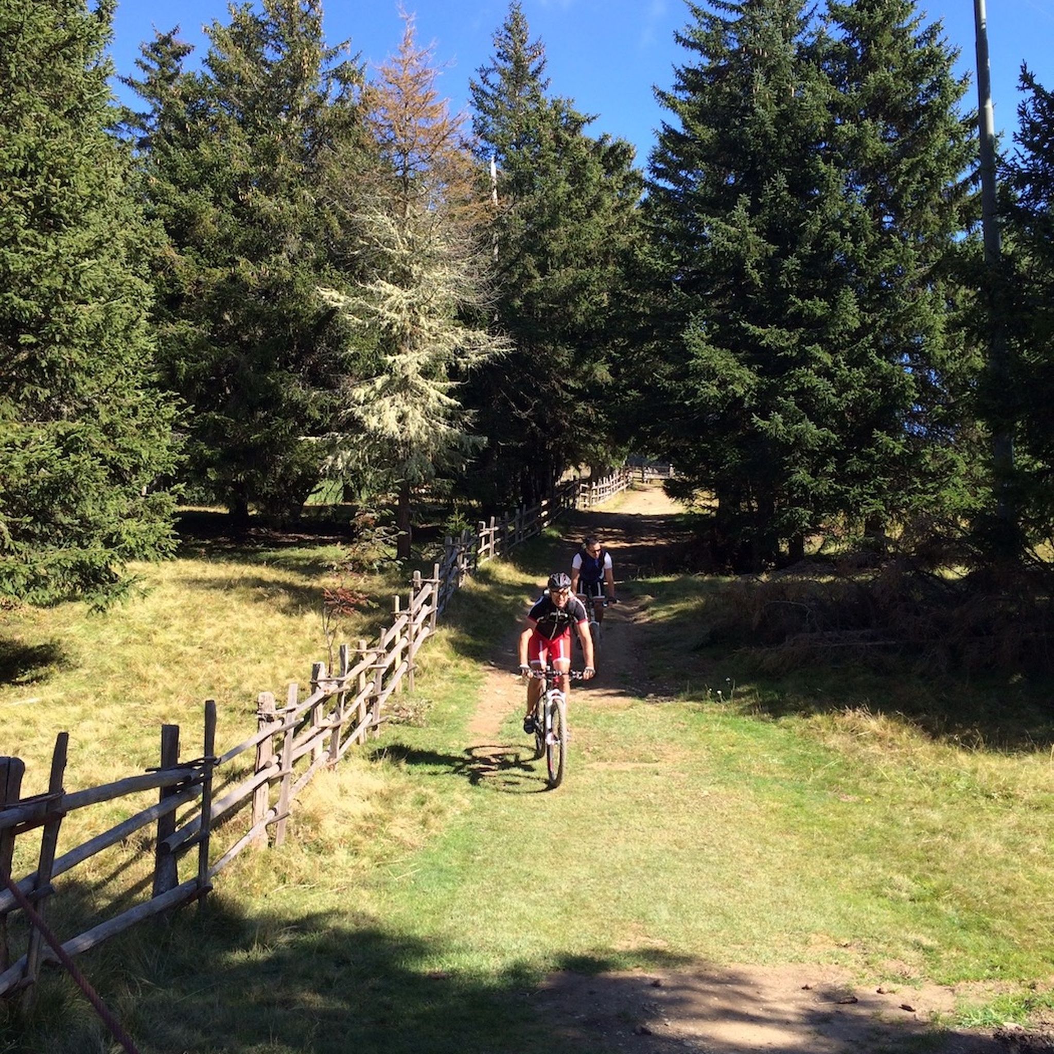
MTB Trails around Sankt Pankraz - San Pancrazio

Gravel biking around Sankt Pankraz - San Pancrazio
Tips from the Community

The Laugenspitze (Italian: Monte Luco) at 2,434 meters is the highest mountain in the Nonsberg Group in South Tyrol. The striking porphyry double peak consists of the Große Laugen (2,434 m) and the Kleine Laugen (2,297 m), which are separated by the picturesque Laugensee (2,182 m). Due to its freestanding location, it offers an excellent viewing platform over the Etschtal valley, the Meraner Land region, the Vinschgau valley, and as far as the Dolomites.
0
0

Either arrive early (before 8:30) or use the parking bays before or after (each 500m away). Parking is prohibited on the country road.
0
0

The climb to the Passo delle Palade from Lana connects the Val d'Adige with the Val di Non. It is about 18 kilometers long with a difference in altitude of 1200 meters. The gradient is fairly constant for most of the route. The road passes through several villages before tackling the numerous hairpin bends that climb through the woods to the 1518 meters of the pass.
3
1

Perfect place to start a beautiful mountain tour. There is also free parking for cars
3
0

Climb from Nalles very tough Descent via Lana perfect, good surface, no big curves
1
0

Several hikes can be started from the Gampenpass bus stop. There is also a small parking lot there.
0
0

Attention, the Laugenalm, a popular place to stop for refreshments until recently, is unfortunately currently closed. not managed.
0
1

Dear colleagues, I live on the Gampenpass Straße, I drive to work on this street every day, I cycle up the pass almost once a week. But by bike only between 6.00 and 8.00 in the morning!!! The Gampenpass road is the connection between the Adige Valley (Lana) and the Nonsberg (Fondo), commuter traffic, individual traffic, heavy traffic and tourists and many bikers run there. If you want to do a quiet tour, you should take my tip into account! Have fun Michael
8
1
Frequently Asked Questions
What are some of the most popular mountain passes and peaks around Sankt Pankraz - San Pancrazio?
The region offers a variety of mountain passes and peaks. Among the most popular are the challenging Timmelsjoch Pass (Merano to Sölden), known for its high-alpine experience, and the scenic Ascent to Passo delle Palade from Lana, which connects the Val d'Adige with the Val di Non. For hikers, Laugen Spitze – Monte Luco offers rewarding panoramic views.
How can I reach the Gampenpass (Passo Palade) by public transport?
For those preferring public transport, there is a bus stop at Gampenpass (Passo Palade) on line 246 (Merano - Fondo). This serves as a convenient starting point for various tours, including routes to Laugenalm and Laugenspitze. It's advisable to check the bus schedule in advance as it runs approximately every two hours.
What kind of views can I expect from Laugen Spitze – Monte Luco?
From Laugen Spitze – Monte Luco, you can expect wonderful all-round views. In good weather, the panorama extends to the Brenta Dolomites, Rosengarten, Sciliar, and Sella groups, offering a truly spatial 360-degree experience.
Are there challenging high-alpine passes for experienced cyclists or drivers?
Yes, the Timmelsjoch Pass (Merano to Sölden) is a challenging high-alpine pass reaching an elevation of 2509 meters. It features numerous turns and hairpin bends, providing a demanding yet rewarding experience. Cyclists should be prepared for significant elevation gain and temperature differences, and bike lights are essential for the unlit tunnels.
What outdoor activities can I do near the mountain passes around Sankt Pankraz - San Pancrazio?
The region around Sankt Pankraz - San Pancrazio is excellent for various outdoor activities. You can find numerous mountain hikes, such as the 'Laugenalm – Laugen Lake loop from Gampenpass - Passo delle Palade' or the 'Schwarze Lacke Biotope – Church of St. Vigilio loop'. There are also gravel biking routes and running trails available. For more details, explore the Mountain Hikes, Gravel Biking, and Running Trails guides for the area.
What is the best time of year to visit the mountain passes in this region?
The best time to visit the mountain passes around Sankt Pankraz - San Pancrazio is generally during the warmer months, from late spring to early autumn, when the passes are clear of snow and weather conditions are more stable for hiking, cycling, and driving. High-alpine passes like Timmelsjoch are typically open from late May/early June to October, depending on snow conditions.
Are there any tunnels on the mountain passes, and what should I be aware of?
Yes, some passes in the region, such as the Timmelsjoch Pass and the Hofmahdjoch Tunnel (SP88), feature tunnels. On the Timmelsjoch Pass, some tunnels may lack lighting, so cyclists should bring bike lights. For the Hofmahdjoch Tunnel, driving down from the Ultental side is often suggested for a more enjoyable experience.
What makes the Ultental Valley, where Sankt Pankraz is located, special for visitors?
The Ultental Valley (Val d'Ultimo) is celebrated for its natural tranquility and commitment to preserving rural architecture, offering an authentic mountain experience. It boasts over 600 kilometers of well-marked hiking trails, suitable for various skill levels, from easy family walks around reservoirs to challenging high mountain trails within the Stilfser Joch National Park.
Are there any less crowded mountain passes or routes near Sankt Pankraz - San Pancrazio?
While specific crowd levels can vary, the Ultental Valley itself is noted for being relatively untouched by mass tourism, suggesting that many of its trails and passes might offer a more serene experience compared to more famous alpine destinations. Exploring routes from less central starting points or during weekdays can help avoid peak crowds.
What are some tips for cycling the Gampenpass (Passo Palade)?
The Gampen Pass (Passo Palade) offers a challenging but rewarding cycling experience. The ascent from Lana is about 18 kilometers with a 1200-meter altitude difference. While the pass itself might not offer spectacular views, the descent towards Merano or Bolzano is often praised for its beauty. It's recommended to cycle early in the morning to avoid heavy commuter and tourist traffic, especially from motorcyclists.
Can I find family-friendly hiking options near the mountain passes?
Yes, the Ultental Valley, accessible from Sankt Pankraz, offers a wide range of hiking trails, including easy family walks around reservoirs. While some mountain passes are challenging, many areas provide gentler routes suitable for families. For specific family-friendly options, it's best to consult local trail maps or the Mountain Hikes guide for the region.
What is the Brezer Joch (Forcella di Brez) and where is it located?
The Brezer Joch (Forcella di Brez) is situated in the Upper Val di Non at approximately 1,400 meters above sea level. It marks the natural border between Trentino and South Tyrol and offers scenic routes as part of the broader network of mountain passes in the region.
Most popular routes around Sankt Pankraz - San Pancrazio
Most popular attractions around Sankt Pankraz - San Pancrazio

Get inspired with the komoot mobile app


Explore more
See even more epic mountain passes by checking out these guides around Sankt Pankraz - San Pancrazio:
