The best running trails around Etowah
5.0
(4)
192
runners
27
runs
Jogging around Etowah offers a diverse landscape for runners, characterized by forested hills, river valleys, and varied trail surfaces. The region features routes that traverse gaps, follow river paths, and ascend gentle mountain slopes. This mix provides opportunities for different running experiences, from riverside jogs to more challenging climbs through wooded terrain.
Best jogging routes around Etowah
- The most popular jogging route is Turkey Pen Gap and South Mills River Trail Loop, a 6.2 miles (10.0 km) trail that…
Last updated: June 24, 2026
4
runners
10.0km
01:23
300m
310m
Turkey Pen Gap and South Mills River Trail Loop is a moderate 6.2-mile jogging route in Pisgah National Forest with varied terrain.
3
runners
7.55km
00:57
160m
160m
Jog the 4.7-mile Hickory Mountain Loop in DuPont State Recreational Forest, a moderate trail with 524 feet of elevation gain.

Sign up for free
6.68km
00:57
290m
290m
Jog the moderate 4.2-mile Stone Mountain and Rocky Ridge Loop in DuPont State Recreational Forest, gaining 942 feet to a scenic summit.
6.63km
00:51
130m
130m
Jog the moderate 4.1-mile Sandy Trail & Wintergreen Falls loop in DuPont State Recreational Forest, featuring a secluded waterfall.
7.58km
01:01
210m
200m
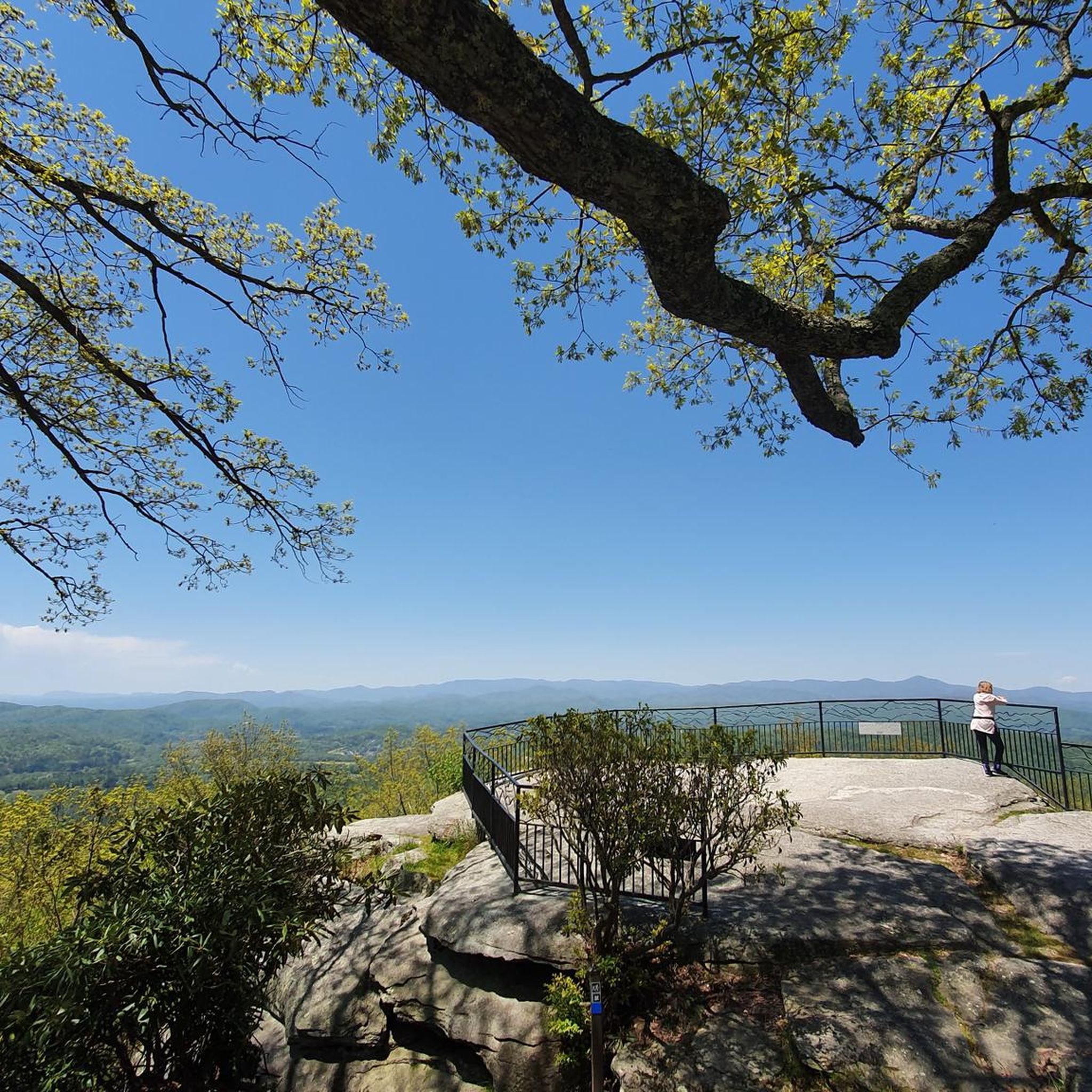
This moderate 4.7-mile (7.6 km) jogging loop in Holmes Educational State Forest offers diverse scenery and an observation deck.
Get access to more routes and recommendations from other explorers.
Sign up for free
Already have an account?
Our route recommendations are based on thousands of hikes, rides, and runs completed by other people on komoot.
Start today with a free account
Your next adventure awaits.
Login or Signup

Tips from the Community

Sharpy Mountain is the highest of the peaks directly bordering Turkey Pen Gap in Pisgah National Forest. A steep climb to the top offers views of the South Fork Mills River, Pine Mountain, and Laurel Mountain.
0
0
A couple of short spur trails lead to the base of Upper Grassy Falls. There are a couple connected cascades here creating a roughly 15-foot waterfall. This is one of the least visited waterfalls in DuPont State Recreational Forest and isn't too far from the car, making it a great option if you just want some peaceful time in nature.
0
0
A couple short spur trails lead to the base of Upper Grassy Falls. There are a couple connected cascades here creating a roughly 15 foot waterfall. This is one of the least visited waterfalls in DuPont State Recreational Forest and isn't too far from the car, making it a great option if you just want some peaceful time in nature.
0
0
Even though it's one of the smallest falls in DuPont Forest, this private cascade is worth the short hike to get back to it. The Wintergreen Falls Trail is the most popular approach route, but there are a couple different trails that go to the falls. You can even make a loop hike out of the visit.
1
0

Grassy Creek's water runs through large flat rocks, creating beautiful and humble falls.
0
0
At 3,620 feet, Stone Mountain is the most northern and the tallest summit in DuPont State Recreational Forest. The summit, itself, is rocky and offers some great views to the southwest (basically peering into the rest of the State Forest). The trail to the top is challenging, and there are two different approaches you can use to get to the final summit trail.
0
0
Holmes Educational State Forest has a handful of different interpretive and nature trails. The most popular is the Demonstration Trail, which is a loop trail traveling around the perimeter of the forest. This is a lesser visited area than the nearby Dupont State Recreational Forest.
1
0
Sharpy Mountain is the highest of the peaks directly bordering Turkey Pen Gap in Pisgah National Forest. A steep climb to the top offer's views of the South Fork Mills River, Pine Mountain, and Laurel Mountain.
0
0
Frequently Asked Questions
How many running routes are available around Etowah?
The Etowah region offers a diverse selection of over 20 running routes. These range from easy paths suitable for beginners to more challenging trails through varied terrain.
What do other runners say about the trails in Etowah?
The running trails around Etowah are highly regarded by the komoot community, boasting an average rating of 5.0 stars. Over 200 runners have explored these routes, often praising the diverse landscapes, from river valleys to forested hills.
Are there easy jogging routes for beginners in Etowah?
Yes, Etowah has options for beginners. While many routes are moderate, there is at least one easy jogging route available, providing a gentle introduction to the region's scenic paths.
What are some shorter running options in the Etowah area?
For a shorter run, consider the Sandy Trail & Wintergreen Falls loop, which is approximately 4.1 miles (6.6 km) long. It offers a moderate experience with scenic elements.
Are there any loop running trails in Etowah?
Many of Etowah's running routes are designed as loops, offering a continuous journey without retracing your steps. An example is the Demonstration Trail run loop, which covers about 4.7 miles (7.6 km).
Can I bring my dog on the running trails near Etowah?
Many trails in the Etowah area are dog-friendly, but it's always best to check specific trail regulations before you go. Generally, dogs should be kept on a leash to protect wildlife and ensure a pleasant experience for all users.
Are there family-friendly running routes in Etowah?
While specific 'family-friendly' designations aren't always available, many of the easier or moderate routes with less elevation gain can be suitable for families. Look for trails with well-maintained surfaces and shorter distances.
Are there running routes with waterfalls or scenic views in Etowah?
Absolutely! The Etowah area is rich with natural beauty. You can find routes that pass by stunning waterfalls like Bridal Veil Falls or Hooker Falls. For panoramic views, look for trails near viewpoints such as Triple Falls Overlook.
What kind of terrain can I expect on Etowah's running trails?
Etowah's running trails feature diverse terrain, including forested hills, river valleys, and varied surfaces. You'll encounter everything from sandy sections to rocky ridges, providing a dynamic running experience.
Are there places to explore or points of interest along the running routes?
Yes, the region offers several points of interest. You might encounter landmarks like the Covered Bridge in DuPont State Recreational Forest or serene spots like Lake Dense. Many routes provide access to these natural and historical attractions.
What is the best time of year to go jogging in Etowah?
The best time for jogging in Etowah is generally during spring and fall when temperatures are mild and the natural scenery is at its peak. Summer can be warm and humid, while winter offers cooler, crisp conditions, though some trails might be affected by weather.
Where can I find parking for the running trails in Etowah?
Parking availability varies by trailhead. Many popular trailheads in the Etowah area, especially those within state parks or national forests, offer designated parking lots. It's advisable to check specific route details or park websites for precise parking information.
Most popular attractions around Etowah

Get inspired with the komoot mobile app


Explore more
Browse the best Running Trails & Routes in other regions.
