The 5 Most Amazing Peaks around Hürth
Best mountain peaks around Hürth are characterized by their unique geological features and recreational value within a generally low-elevation landscape. Hürth, located in the Rhein-Erft-Kreis, features an average elevation of 78 meters, with its highest point reaching approximately 154 meters above sea level. The region is part of the Kottenforst-Ville nature reserve, offering numerous lakes and forested areas for outdoor activities. Elevated points, often referred to as "peaks" or "summits," are typically recultivated hills or artificial mounds providing viewpoints across…
Last updated: October 2, 2026
View from Glessener Höhe
Highlight • Viewpoint
Translated by Google •
Tip by

Stairway to Heaven, Glessener Höhe
Highlight (Segment) • Climb
Translated by Google •
Tip by

Sign up now to discover places like this
Get recommendations on the best single tracks, peaks, & plenty of other exciting outdoor places.
Pope's Hill (Papsthügel) on the Marienfeld
Highlight • Viewpoint
Translated by Google •
Tip by

St. Barbara Chapel
Highlight • Religious Site
I was surprised at the shape, but the text explained it, it's supposed to be reminiscent of old tunnels.
Translated by Google •
Tip by

Wilhelmshöhe Rest Area
Highlight • Viewpoint
Translated by Google •
Tip by

Sign up for free to discover even more peaks around Hürth.
Already have an account?
Start today with a free account
Your next adventure awaits.
Popular around Hürth
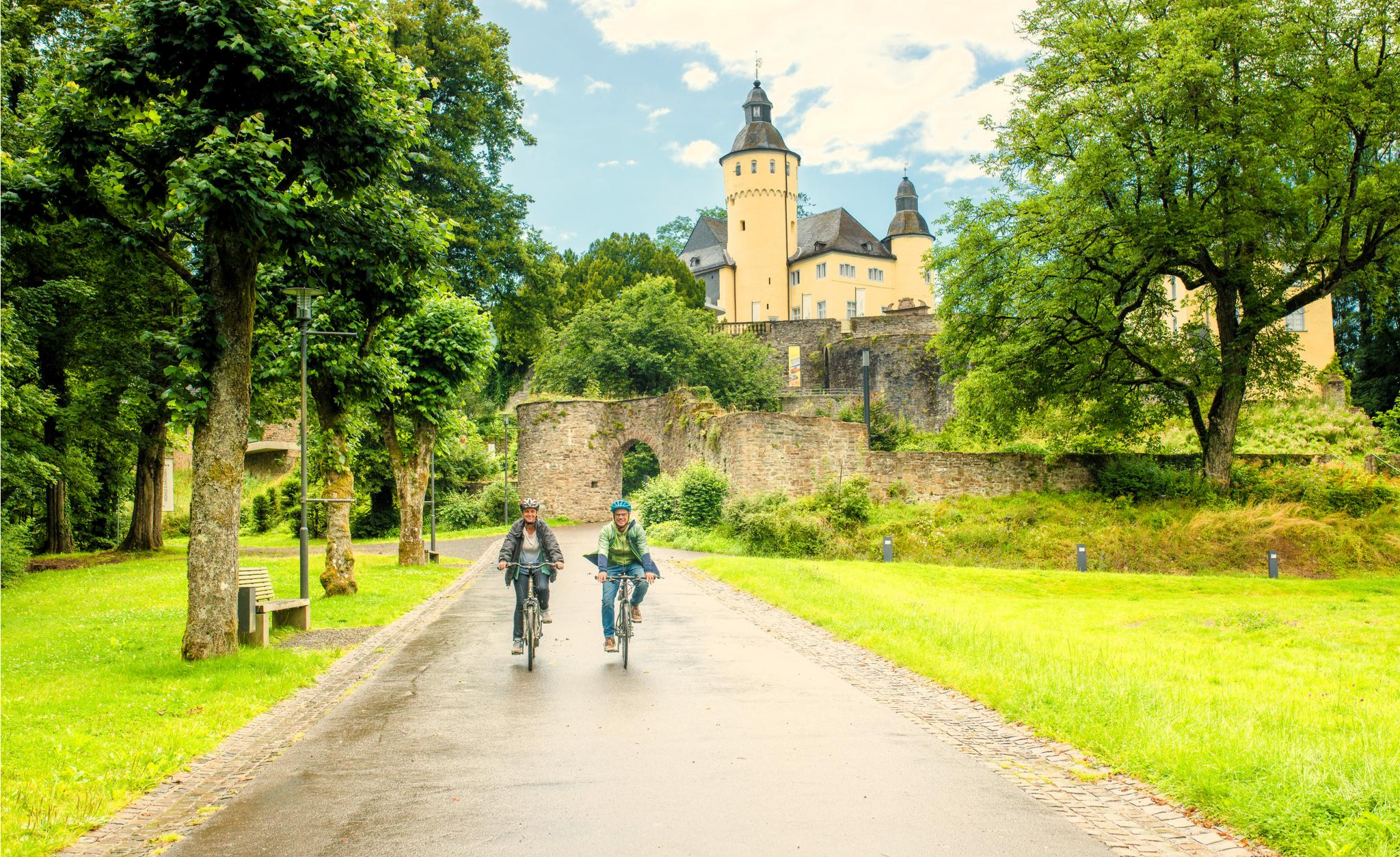
To palaces and castles - rides in the Rheinland cycling region
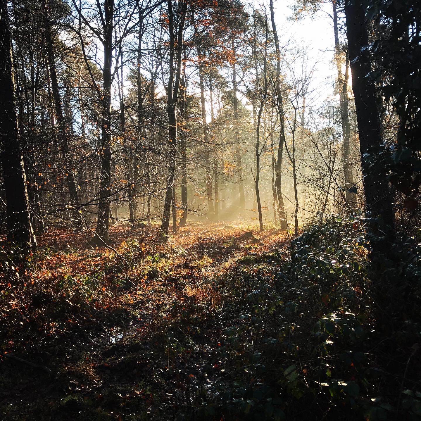
Naturpark Rheinland - Our most beautiful hiking trails
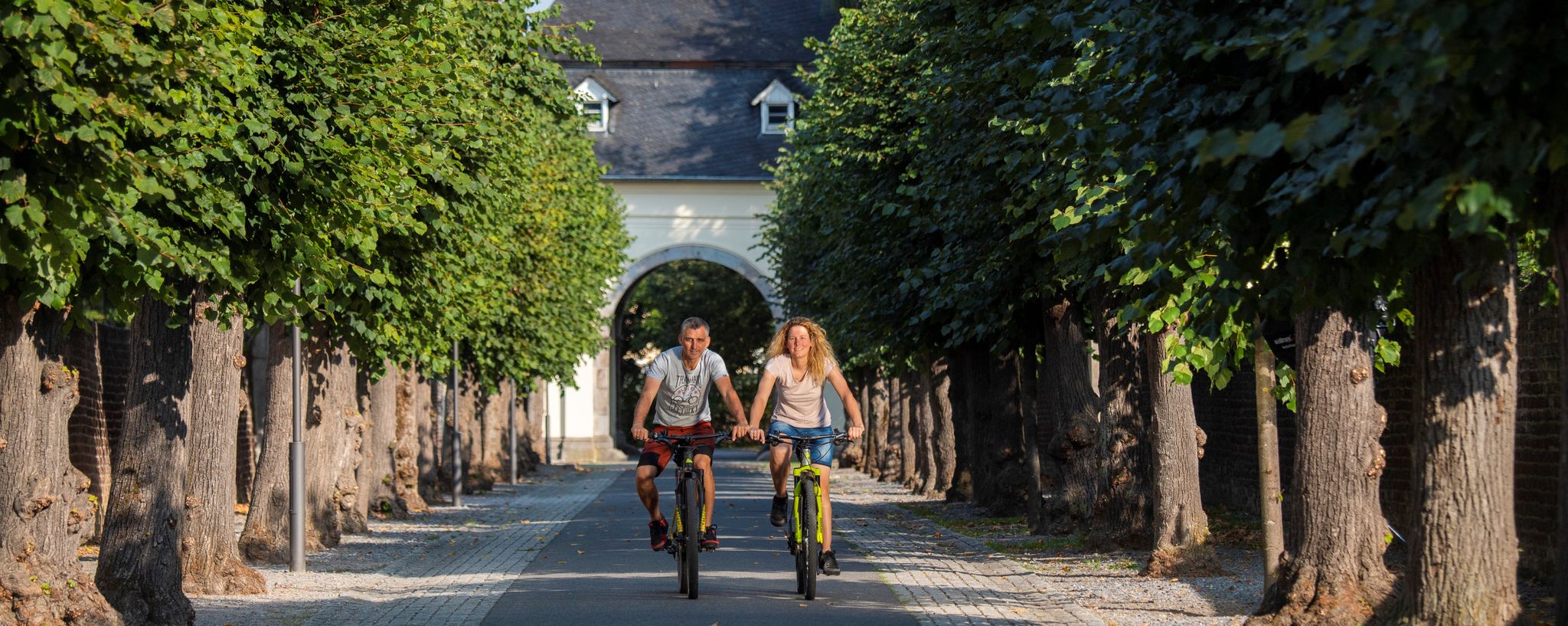
#memrädcheopjöck – cycling in the Rhineland

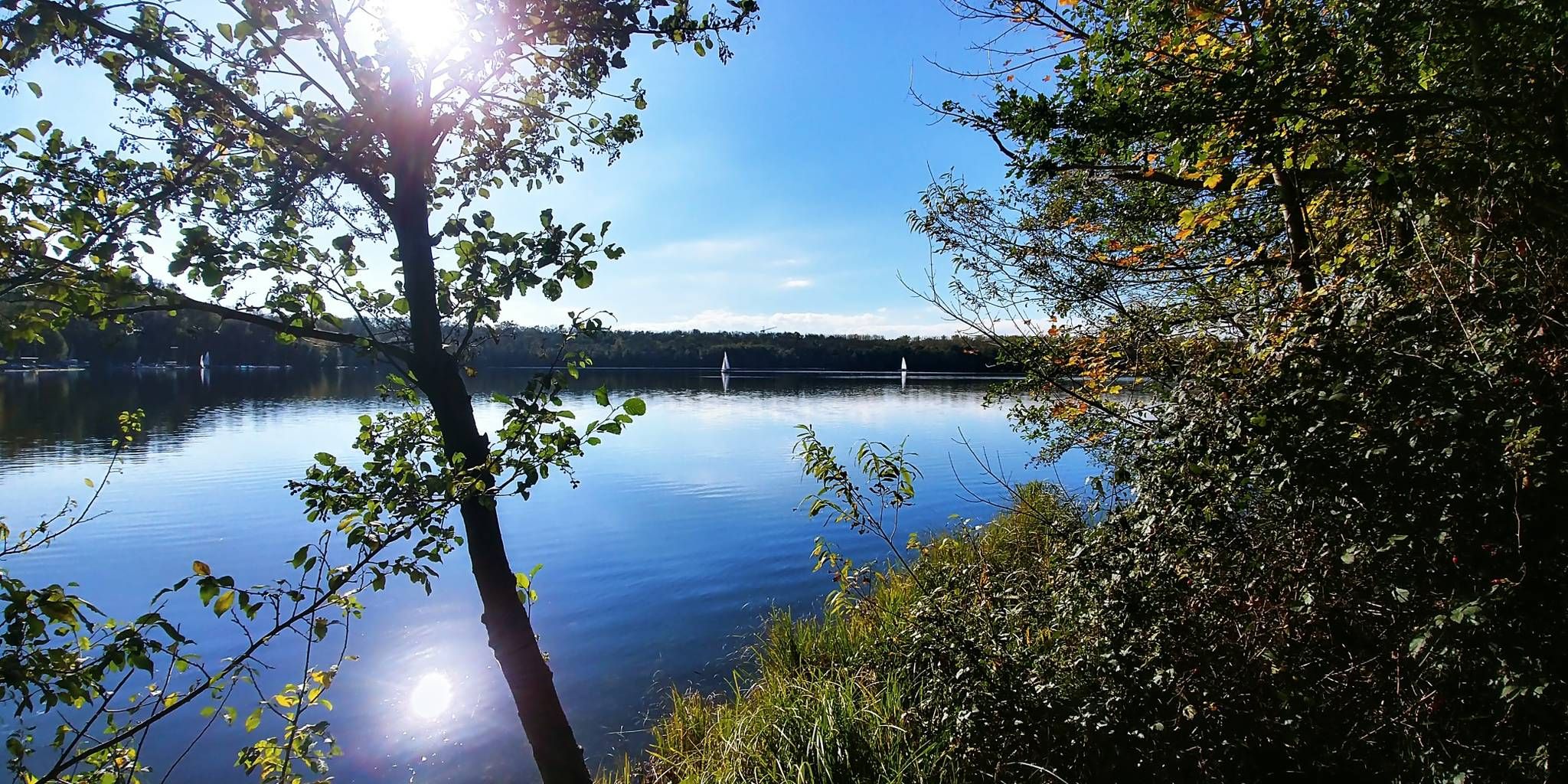
33 lakes for sunny weekends
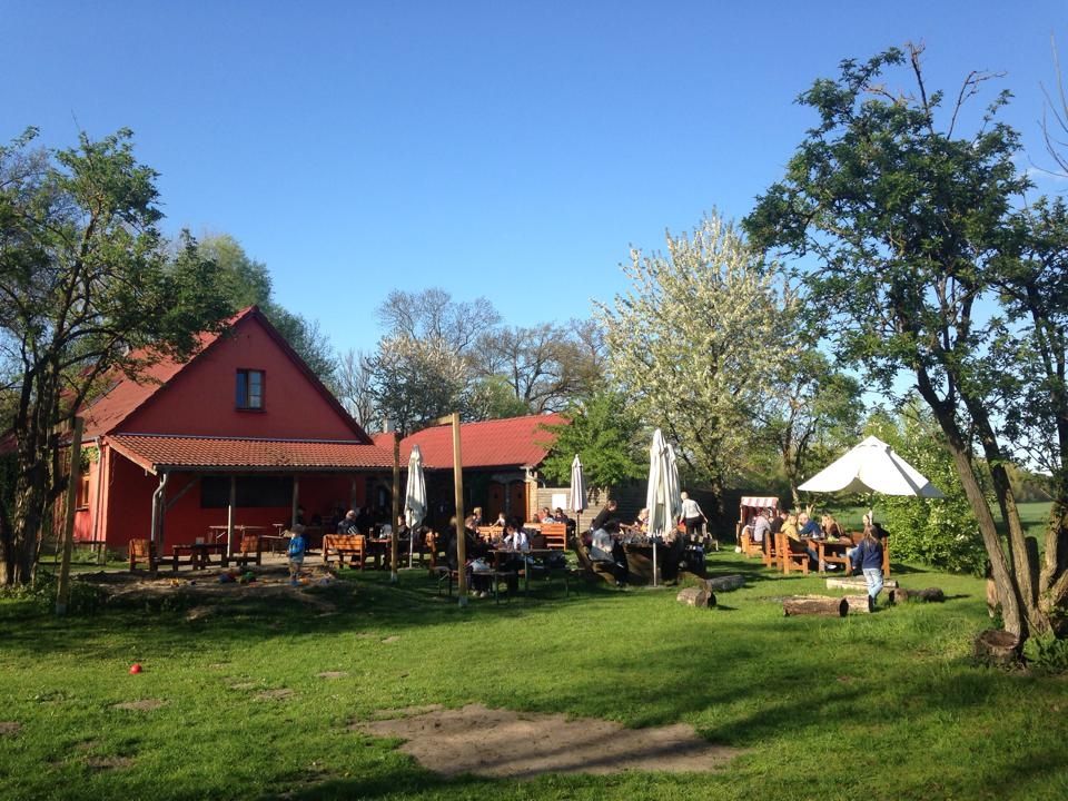
Farmer's shops — escape to the country
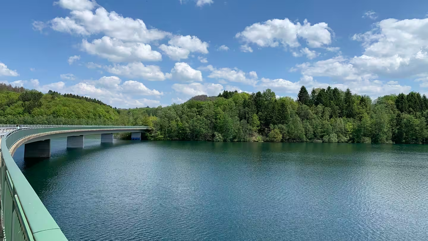
The most beautiful swimming spots around Cologne and Bonn
Zwischen Seeblick und Waldbaden – Mikroabenteuer in NRW
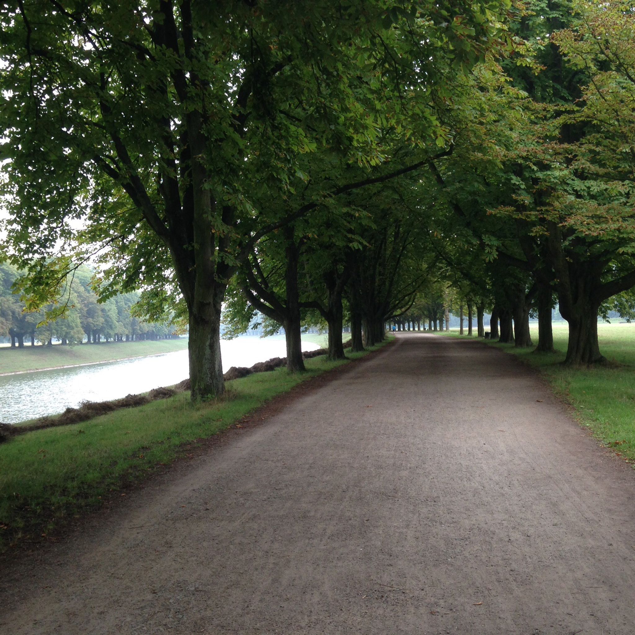
Cycling around Hürth
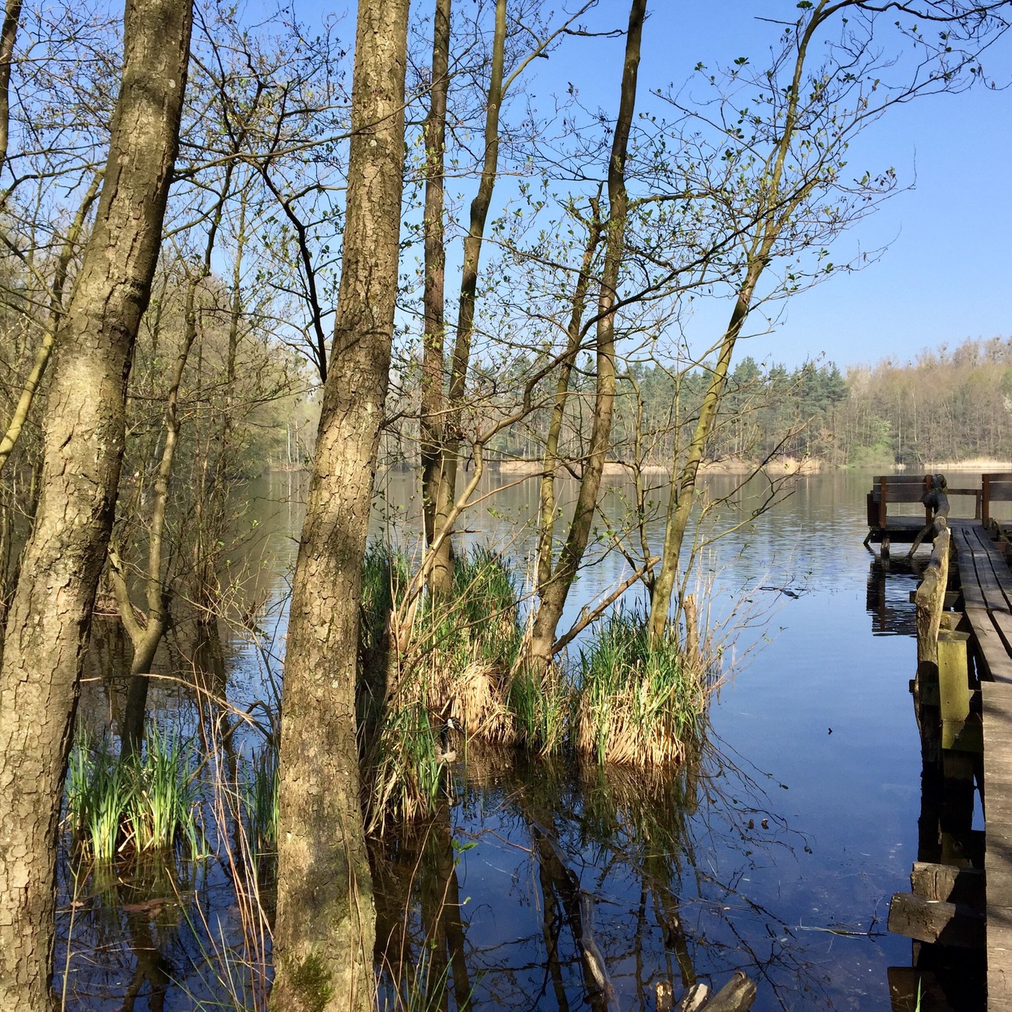
Hiking around Hürth
Road Cycling Routes around Hürth
Other adventures around Hürth


Tips from the Community


The wide forest road leading uphill is easy to ride. The view is perfect at this time of year. But unfortunately, the area is becoming increasingly littered and dilapidated. The narrow path on the opposite side of the forest road is also no longer passable. The detour around Wilhelmshöhe, necessitated by forestry work, is anything but enjoyable.
1
0

Beautiful small, modernly designed chapel dedicated to Saint Barbara. There is a small, quiet bench here to rest, recharge your batteries, think and perhaps also have a quiet conversation.
2
0

Interesting location, but thanks to Komoot you can find everything!! I was surprised at the shape, but the text explained it, it's supposed to be reminiscent of old tunnels.
2
0
It was worth taking the ladder to heaven, at the top I found it very nice to walk on the plateau.
3
0

The statues of the Three Kings (Kaspar, Melchior, Balthasar), which line the rear entrance to the so-called Pope Hill on Marienfeld near Kerpen, are mainly represented here because the XX. World Youth Day - the closing service of which was celebrated here - was under the motto: "We have come to worship HIM". This excerpt of the text comes from the Gospel according to Matthew (chapter 2) and is spoken - with the preceding words "We saw his star rising and ..." - by the wise men from the east, who spoke the newborn King of the Jews, Jesus Christ, want to visit. The Bible text does not refer to them as kings and also does not name or number the men, the latter was concluded from the three gifts (gold, frankincense and myrrh). Her relics have been in Cologne since 1165 and are still venerated there today.
12
0

Not long ago we were in the Azores. Such ladders to heaven were often found on the steep crater cones. They are good for fitness👹🤡
7
1
Frequently Asked Questions
What kind of "mountain peaks" can I expect in Hürth?
The "mountain peaks" around Hürth are not traditional mountains but rather elevated points, often recultivated hills, spoil dumps from former lignite mining, or artificial mounds. They offer unique viewpoints and recreational opportunities within the region's generally low-elevation landscape. For example, Glessener Höhe — Summit Cross and Viewpoint is an external landfill that has been recultivated.
What are the most popular elevated points around Hürth?
Among the most popular elevated points are Glessener Höhe — Summit Cross and Viewpoint, known for its summit cross and views towards Cologne, Bonn, and the Siebengebirge. Another highlight is the Stairway to Heaven, Glessener Höhe, a wooden plank staircase leading to the Glessener Höhe summit, offering a fantastic view and a summit book.
Are there challenging climbs to the elevated points around Hürth?
While Hürth doesn't feature challenging mountain climbs in the alpine sense, some elevated points offer a good workout. The Stairway to Heaven, Glessener Höhe, for instance, involves climbing over 200 steps, providing a moderately strenuous ascent to the summit.
Are the elevated points around Hürth suitable for easy walks?
Yes, many of the elevated points and their surrounding areas are perfect for easy walks. The region is part of the Kottenforst-Ville nature reserve, featuring numerous lakes and forested areas with well-maintained trails. These paths often lead to viewpoints like Wilhelmshöhe Rest Area, offering pleasant strolls with scenic rewards.
Are the viewpoints around Hürth family-friendly?
Absolutely. Many of the elevated points and their surrounding trails are suitable for families. For example, Pope's Hill (Papsthügel) on the Marienfeld is listed as family-friendly and offers a unique historical context. The generally gentle terrain and well-marked paths make them accessible for all ages.
What historical or cultural significance do these elevated points hold?
Some elevated points have unique historical significance. Pope's Hill (Papsthügel) on the Marienfeld was created for the XX. World Youth Day in 2005, where Pope Benedict XVI celebrated the closing mass. Delegates from 70 countries contributed soil to its creation, making it a site of international importance.
What outdoor activities can I do near these elevated points?
The area around Hürth's elevated points offers a variety of outdoor activities. You can enjoy hiking, gravel biking, and cycling. Popular hiking routes include the "Naturpark Rheinland - Otto-Maigler-Round" and various loops around Otto-Maigler Lake. For cycling, options range from easy loops around the Cologne Green Belt to longer tours like "A castle in each village." You can find more details on routes in the Hiking around Hürth, Gravel biking around Hürth, and Cycling around Hürth guides.
When is the best time to visit the viewpoints around Hürth?
The viewpoints around Hürth can be enjoyed year-round. Spring and autumn offer pleasant temperatures and vibrant colors, while summer provides lush greenery. Even in winter, with clear skies, you can get expansive views, especially from spots like Glessener Höhe, which offers views towards the Siebengebirge.
What do visitors enjoy most about the elevated points in Hürth?
Visitors particularly enjoy the panoramic views, especially towards Cologne, Bonn, and the Siebengebirge, which can be seen from spots like Glessener Höhe. The unique experience of climbing the Stairway to Heaven and finding a summit cross in a relatively flat region is also highly appreciated. The blend of natural recreation with unique geological and historical features makes these spots popular.
Can I bring my dog to the trails around Hürth's elevated points?
Generally, the natural areas and trails around Hürth's elevated points are dog-friendly. Many visitors enjoy walking their dogs in the forested areas and around the lakes. However, it's always advisable to keep dogs on a leash, especially in nature reserves or near agricultural areas, and to clean up after them.
What is the highest point in the Hürth area?
The highest point in the Hürth area is approximately 154 meters (505 feet) above sea level. This elevation is typically found on recultivated hills or spoil dumps, such as the Glessener Höhe, which reaches around 205.8 meters above sea level (NHN) and is the highest elevation of Villerücken and Rhein-Erft-Kreis.
Are there any rest areas or facilities near the viewpoints?
Some viewpoints, like the Wilhelmshöhe Rest Area, are designated rest spots. While these areas offer a place to pause and enjoy the view, specific facilities like cafes or restrooms might not be directly at every elevated point. It's recommended to check local information or plan your route to include stops in nearby towns or villages for amenities.
Most popular routes around Hürth
Most popular attractions around Hürth

Get inspired with the komoot mobile app


Explore more
See even more amazing summits around Hürth with these guides:
