The best cycling routes around Palisades Park
4.7
(373)
16,148
riders
123
rides
Touring cycling routes around Palisades Park are characterized by the dramatic Palisades Cliffs, which rise over 500 feet along the Hudson River. The park encompasses 2,500 acres of waterfront and uplands, featuring rugged woodlands and diverse ecosystems. This landscape provides varied terrain for cyclists, from paved scenic drives along the river to routes through forested areas. The region's unique geological formations and river views offer a distinct cycling experience.
Best touring cycling routes around Palisades Park
- The most popular touring cycling route is Palisades loop over the Hudson, a 28.9 miles (46.5 km) trail that takes 2 hours 51 minutes to complete. This moderate route offers views of the Hudson River and the Manhattan skyline.
- Another top favourite among local touring cyclists is Oradell Reservoir Loop, a difficult 36.3 miles (58.5 km) path. This route features varied terrain around the reservoir, including some significant elevation gain.
- Local touring cyclists also love the Hudson River Greenway – Hudson River Greenway loop from 181st Street, an 18.7 miles (30.1 km) trail leading through scenic riverfront areas, often completed in about 1 hour 46 minutes.
- Touring cycling around Palisades Park is defined by the iconic Palisades Cliffs, the Hudson River waterfront, and lush woodlands. The network offers options for different ability levels.
- The routes in Palisades Park are highly rated by the komoot community with an average score of 4.6 stars from over 300 reviews. More than 14,000 touring cyclists have used komoot to explore Palisades Park's varied terrain.
Last updated: June 28, 2026
4.4
(8)
319
riders
46.5km
02:52
430m
430m
The Palisades loop over the Hudson offers a diverse touring cycling experience, blending urban parkways with dramatic natural scenery. You'll pedal along the Hudson River, enjoying views of the towering Palisades Cliffs and the New York City skyline, especially when crossing the George Washington Bridge. This moderate 28.9-mile (46.5 km) route, with 1398 feet (426 metres) of elevation gain, takes about 2 hours and 51 minutes to complete, making it a rewarding ride for cyclists with good fitness.
While the route is accessible year-round, spring and fall provide the most comfortable conditions and beautiful scenery, including vibrant fall foliage. The full loop is best for experienced cyclists due to its length, varied terrain, and steep hills. Public transportation can get you to the starting point, making it convenient for those without a car.
This route stands out for its unique blend of accessibility from a major metropolitan area and significant natural beauty. The opportunity to cycle along the base of the 500-foot Palisades Cliffs on the mostly car-free Henry Hudson Drive is a highlight. Keep an eye out for wildlife, such as deer, in certain sections of the 2,500-acre park.
3
riders
58.5km
03:42
520m
520m
The Oradell Reservoir Loop offers a dynamic touring cycling experience, blending urban vistas with peaceful natural scenery. You'll traverse a mix of paved paths and some pleasant gravel roads, particularly as you circle the picturesque Oradell Reservoir. Expect lush forests, serene riverside views, and glimpses of the distant Watchung Mountains, with opportunities to spot local wildlife like migratory birds and even bald eagles.
This difficult 36.3-mile (58.5 km) route involves a significant 1709 feet (521 metres) of elevation gain, taking approximately 3 hours and 42 minutes to complete. Parking is readily available at various points along the connected Saddle River County Park sections. While direct shoreline access to the reservoir is limited, the trail provides ample scenic viewpoints.
Connecting the well-known Saddle River Park bike trails with the scenic Oradell Reservoir, this route stands out for its diverse experience within Bergen County. It's highly rated by the Komoot community, praised for its natural beauty and the chance to observe wildlife, especially during the fall and winter months.

Sign up for free
83
riders
144km
09:14
1,440m
1,440m
Hard bike ride. Very good fitness required. Mostly paved surfaces. Suitable for all skill levels.
4.4
(13)
298
riders
Moderate bike ride. Good fitness required. Mostly paved surfaces. Suitable for all skill levels.
24
riders
139km
09:05
1,700m
1,700m
Hard bike ride. Very good fitness required. Mostly paved surfaces. Suitable for all skill levels.
Get access to more routes and recommendations from other explorers.
Sign up for free
Already have an account?
Our route recommendations are based on thousands of hikes, rides, and runs completed by other people on komoot.
Start today with a free account
Your next adventure awaits.
Login or Signup


Tips from the Community

Harlem Meer is an artificial lake located in the northeast corner of Central Park in New York. It is west of Fifth Avenue.
0
0

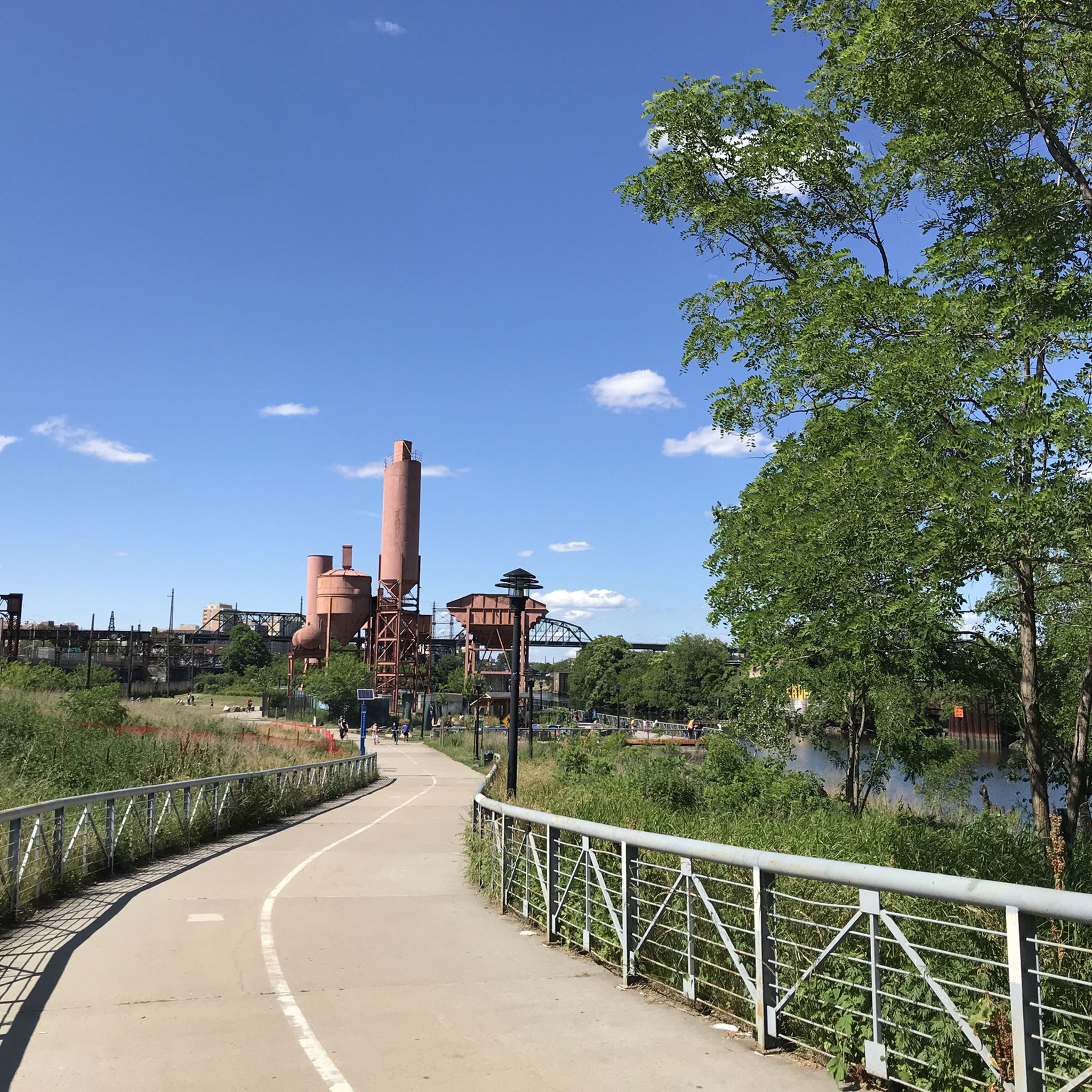
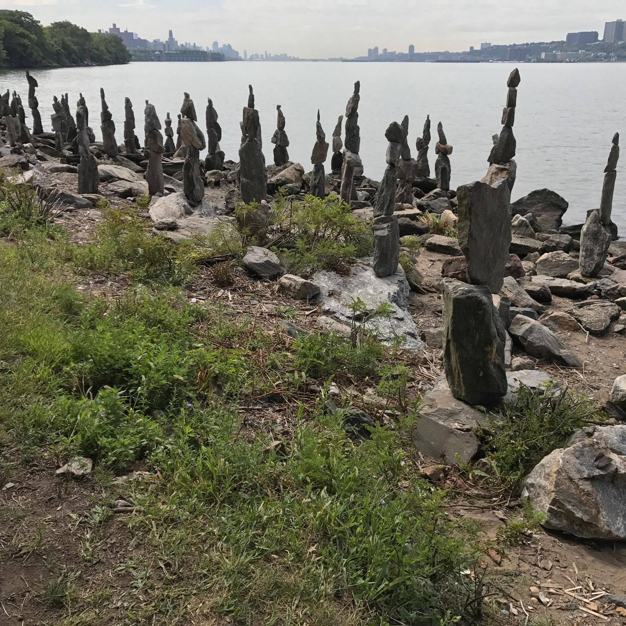
A far but wonderfull view to Manhattan with the GWB in front
1
0


I recommend adding this bridge to your voyage by crossing on bicycle or walking. This is a pedestrian walkway with beautiful views.
1
0

The Oradell Reservoir is an important source of clean drinking water to around 750,000 people. Built up over the early 1900s and completed in 1923, it’s now protected as a Category 1 water source, meaning it’s some of the purest in the state. It is a critical part of the region’s infrastructure and a reminder of how closely nature and community are connected.
0
0

Nyack Beach State Park features a flat, two-mile multi-use path along the Hudson River, which is also part of the Hudson River Valley Greenway. The Nyack River Trail offers scenic views with the river on one side and the towering Palisades cliffs on the other. It is open for biking, walking, fishing, and cross-country skiing in the winter. The park is part of a larger network of parks including Rockland Lake, Hook Mountain, and Haverstraw Beach State Parks.
0
0

Harlem Meer is a small lake in Central Park and a popular destination for park visitors. It has a great path around it, ideal for a leisure stroll or a relaxing break on one of the benches.
0
0
Frequently Asked Questions
How many touring cycling routes are available in Palisades Park?
Palisades Park offers a wide variety of touring cycling routes. There are over 120 routes available, catering to different skill levels. You'll find 74 easy routes, 41 moderate routes, and 11 more challenging options.
What are the general rules and regulations for cycling in Palisades Park?
When cycling in Palisades Park, helmets are required for all riders. Groups are expected to ride single file to ensure safety. Bikes are generally restricted from hiking trails, walking paths, cross-country ski trails, and the main Palisades Interstate Parkway. Always adhere to all traffic and park regulations.
What natural features can I expect to see while cycling in Palisades Park?
Touring cycling routes in Palisades Park offer stunning views of the iconic Palisades Cliffs, which rise over 500 feet along the Hudson River. You'll also cycle alongside the Hudson River itself, through lush forests, and can experience panoramic vistas from spots like the State Line Lookout.
Are there any car-free cycling options in Palisades Park?
Yes, a notable car-free option is a 1.5-mile section of Old Route 9W. This section, from U.S. Route 9W to State Line Lookout, is closed to automobile traffic and is open for cycling, providing a safe and enjoyable experience.
Are there circular touring cycling routes in Palisades Park?
Yes, there are several excellent circular routes. A popular choice is the Palisades loop over the Hudson — Manhattan, a moderate 28.9-mile (46.5 km) trail offering views of the Hudson River and the Manhattan skyline. Another option is the Palisades Interstate Park loop from 175th Street, which is 20.3 miles (32.7 km) and leads through scenic landscapes.
What historical sites or landmarks are accessible from the cycling routes?
You can visit Fort Lee Historic Park, a site that played a pivotal role in the Revolutionary War. It offers historical insights along with views of the George Washington Bridge and Upper Manhattan. Many routes also provide views of the Manhattan skyline and the George Washington Bridge.
What is the best time of year for touring cycling in Palisades Park?
The park is beautiful year-round, but autumn is particularly stunning. The foliage transforms into vibrant colors, enhancing the scenic experience along the routes. Spring and early summer also offer pleasant temperatures and lush greenery.
Are there family-friendly touring cycling routes in Palisades Park?
Many of the 74 easy routes in Palisades Park are suitable for families. The Henry Hudson Drive (River Road), when open and accessible, is a popular paved option that offers continuous scenic views along the Hudson River, making it a good choice for a more relaxed family ride.
What do other touring cyclists enjoy the most about touring cycling in Palisades Park?
The area is highly rated by the komoot community, with an average score of 4.6 stars from over 300 reviews. Reviewers often praise the dramatic scenery, especially the views of the Hudson River and the Palisades Cliffs, as well as the varied terrain that offers options for different ability levels.
Are there any waterfalls or natural monuments near the touring cycling routes?
While cycling, you'll be close to several natural attractions. For example, the North Woods area contains a waterfall, and you can find other natural monuments like Jacqueline Kennedy Onassis Reservoir East Side and The Pool, Central Park nearby.
Where can I find parking for touring cycling routes in Palisades Park?
Numerous riverfront picnic areas, such as Ross Dock, Englewood, Undercliff, and Alpine Picnic Areas, offer places to park and serve as convenient starting points for your cycling adventures. Ross Dock, in particular, provides beautiful views over the Hudson River and the George Washington Bridge.
Is public transport available to access touring cycling routes in Palisades Park?
While specific public transport details directly to all cycling route starting points can vary, the park's proximity to urban areas like New York City means that options to get close to the park, such as near the 175th Street access point, are generally available. It's advisable to check local transit schedules for the most current information.
Most popular attractions around Palisades Park

Get inspired with the komoot mobile app


Explore more
Browse the best Cycling routes in other regions.
