The best walks and hikes around Manchester
4.6
(25)
292
hikers
14
hikes
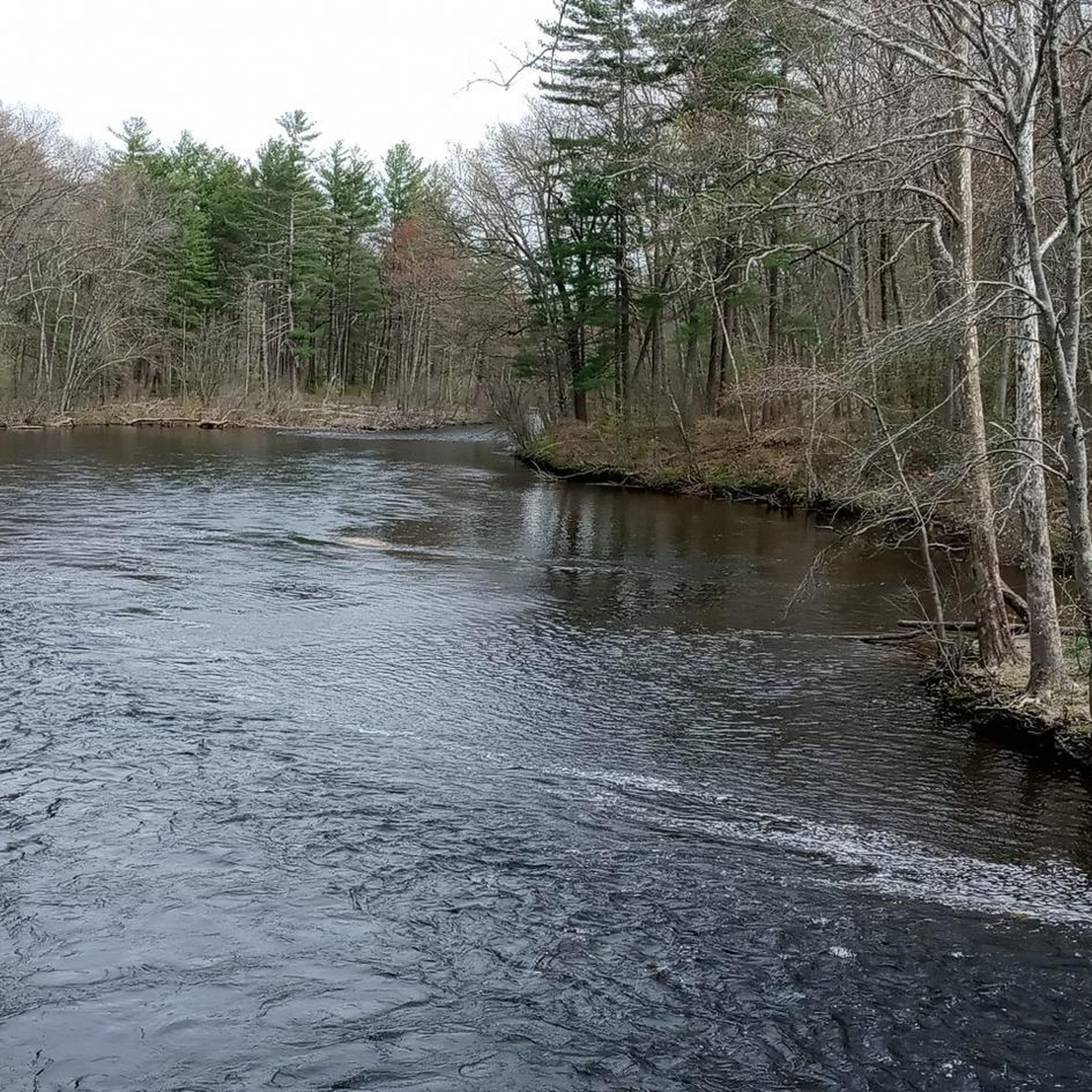
Hiking around Manchester features a landscape characterized by extensive woodlands, serene lakes, and winding river trails. The region offers paths that often follow former railway lines, providing relatively flat and accessible terrain. Natural preserves provide opportunities to explore diverse ecosystems, including cedar swamps and riparian habitats.
Best hiking trails around Manchester
- The most popular hiking route is Rhododendron & Woodland Loop Trails — Manchester Cedar Swamp Preserve, a 2.0 miles (3.2 km) trail that takes 52 minutes to complete,…
Last updated: October 10, 2026
4.0
(1)
11
hikers
2.00km
00:31
10m
10m
The Dorrs Pond Loop offers a delightful escape into nature, winding around the scenic 18-acre Dorrs Pond. You'll experience a mix of wide dirt paths and boardwalks, with the surrounding…
1
hikers
4.18km
01:05
20m
20m
The Heritage and Piscataquog Trail offers a unique blend of Manchester's urban landscape and serene riverine environments, making it a popular route for a casual outing. You'll traverse converted rail…

27.6km
07:10
170m
160m
Hike the challenging 17.2-mile Rockingham Recreational Rail Trail to Onway Lake, featuring diverse forests, wetlands, and scenic lakes.
2.49km
00:42
50m
40m
The Ski Lift and Observatory Loop offers a charming, easy walk through the landscape surrounding the McIntyre Ski Area in Manchester, New Hampshire. You'll navigate well-trodden paths, potentially including sections…
1.92km
00:29
0m
20m
The South Manchester Rail Trail offers a pleasant, easy hiking experience through varied scenery. You'll find yourself on a predominantly paved and flat path, wide enough for comfortable multi-use, winding…
Get access to more routes and recommendations from other explorers.
Already have an account?
Our route recommendations are based on thousands of hikes, rides, and runs completed by other people on komoot.
Start today with a free account
Your next adventure awaits.


Tips from the Community


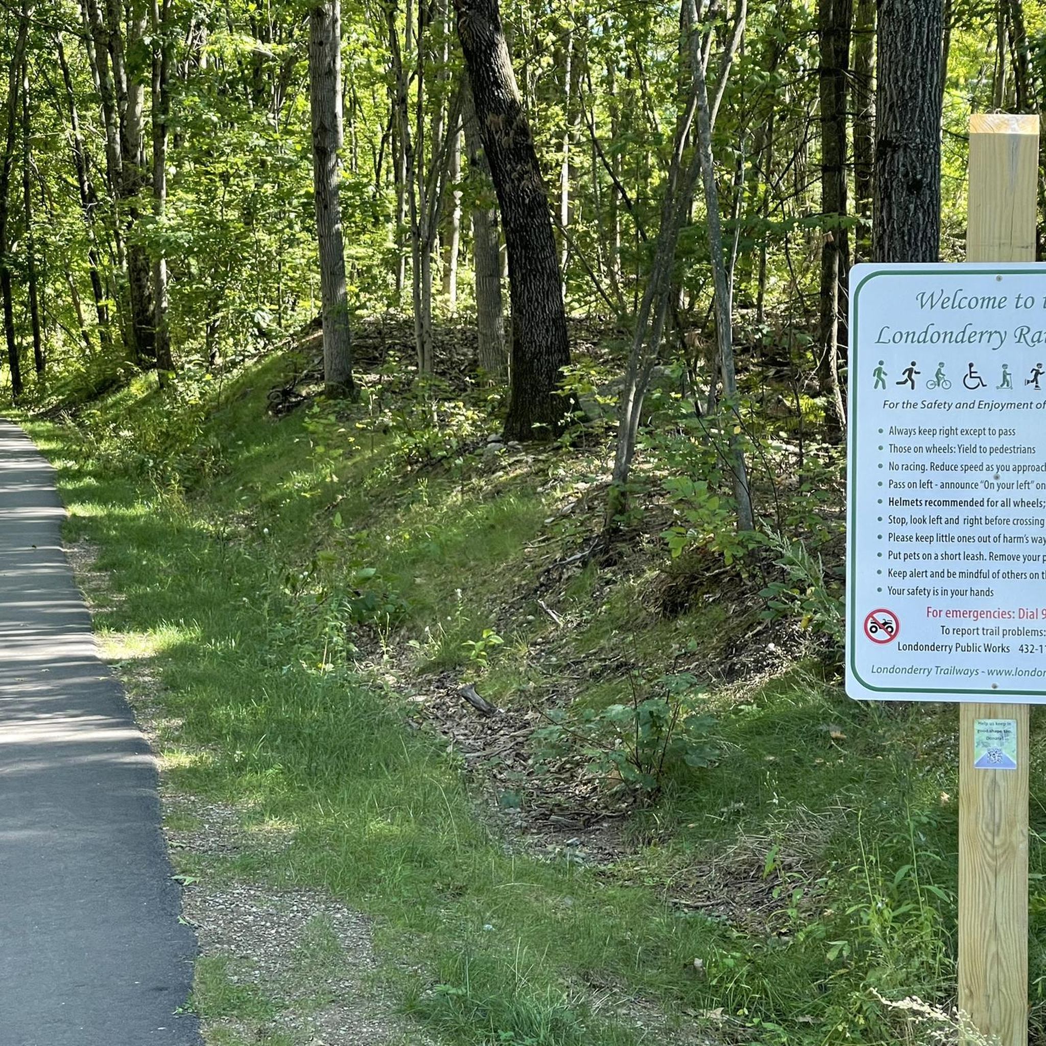
This small parking area, just off Depot Road, features a sign that reads "East Candia Depot c1852-1948," commemorating the history of the spot as the former site of the East Candia Depot. Once, this area had a train stop with a small covered area for passing trains.
0
0

Clark Pond is a refreshing viewpoint to enjoy on a ride along with local wildlife in Manchester Waterworks.
0
0

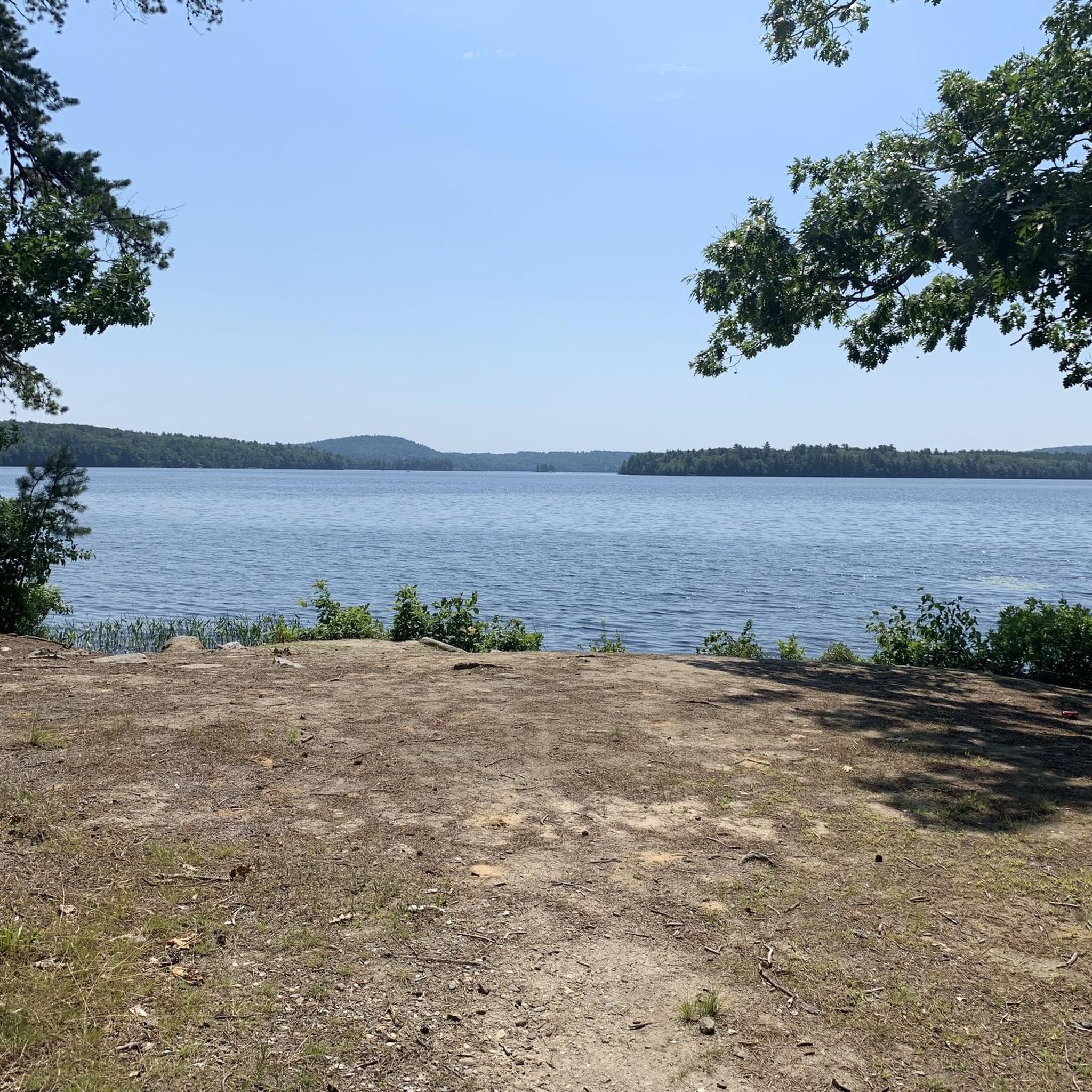
Massabesic Lake is a lake that covers over 2,500 acres. The lake is surrounding by woodland, but there are several locations where you can get a great view of the water. As the lake is the main source of drinking water for the Manchester area, swimming in the lake is prohibited.
1
0

Realy nice lake with great hiking tours around. Unfortuntely swimming isn't allowed. https://en.wikipedia.org/wiki/Massabesic_Lake
1
0
Frequently Asked Questions
How many hiking trails are available around Manchester?
There are over 35 hiking trails around Manchester, offering a variety of experiences from easy strolls to more challenging excursions. The komoot community has explored these routes over 220 times, providing an average rating of 4.4 stars.
What kind of terrain can I expect on hikes near Manchester?
Hikes around Manchester feature diverse terrain, including extensive woodlands, serene lakeshores, and winding river trails. Many paths follow former railway lines, providing relatively flat and accessible routes. You'll also find natural preserves with unique ecosystems like cedar swamps, as seen on the Rhododendron & Woodland Loop Trails.
Are there any family-friendly hiking options in Manchester?
Yes, Manchester offers several family-friendly hiking options. Many of the 27 easy trails are suitable for families. For example, the Piscataquog River Falls Trail loop provides a pleasant 2.7-mile walk through riverine landscapes, often completed in just over an hour.
Are there any circular walks around Manchester?
Yes, many of the trails around Manchester are circular, offering convenient loop experiences. A popular option is the Battery Point & Massabesic Lake loop, an 8.1-mile moderate path that provides scenic views around Massabesic Lake.
What are some scenic viewpoints or attractions I can see along the trails?
Hiking trails around Manchester often lead to scenic viewpoints and natural attractions. You can enjoy views of Tower Hill Pond, explore Hood Park, or take in the expansive vistas from South Uncanoonuc Mountain. Massabesic Lake is another prominent feature, with trails like the Battery Point loop offering beautiful lakeside scenery.
Are there any long-distance hiking routes that start near Manchester?
Yes, Manchester serves as a starting point for several longer routes, often utilizing former railway lines. The Manchester to Goffstown via the Goffstown Rail Trail is a moderate 11.6-mile route, and the Londonderry Rail Trail to Hood Park offers a 12-mile journey, both providing extensive walking opportunities.
What do other hikers enjoy the most about hiking in Manchester?
The area is highly rated by the komoot community, with an average score of 4.4 stars from over 15 reviews. Reviewers often praise the diverse ecosystems, well-maintained paths, and the variety of options for different ability levels, from easy strolls through cedar swamps to moderate excursions around lakes.
Are there any challenging day hikes near Manchester?
While many trails are easy to moderate, there are a couple of more challenging options for experienced hikers. The region's proximity to the Peak District National Park also means that more demanding routes with significant elevation gain, such as those around Kinder Scout or Mam Tor, are accessible for a day trip, though these are further afield than the immediate Manchester area.
Can I find hikes that are easily accessible by public transport from Manchester?
Yes, some areas are accessible by public transport. For instance, Delamere Forest is easily reached by train from Manchester, offering varied walking options. Within the Peak District, destinations like Padley Gorge are accessible from Grindleford Station, which has direct train links from Manchester.
Are there any dog-friendly hiking routes around Manchester?
Many of the trails around Manchester and in the surrounding parks are dog-friendly, though it's always best to check specific park regulations for leash requirements. Areas like Lyme Park and the general trails around Dovestone Reservoir are popular choices for walks with dogs, offering open spaces and varied terrain.
What is the best time of year to go hiking near Manchester?
The best time to hike near Manchester largely depends on your preference. Spring and autumn offer pleasant temperatures and beautiful scenery with changing foliage. Summer is ideal for longer days and warmer weather, while winter can provide unique, crisp experiences, though some higher elevation trails in the nearby Peak District may require more preparation due to weather conditions.
Are there any hikes with waterfalls near Manchester?
While the immediate Manchester area focuses more on riverine landscapes and lakes, the nearby Peak District offers trails with waterfalls. For example, Padley Gorge is known for its stunning wooded valley featuring waterfalls and rocky boulders, accessible from Grindleford Station.
Are there any places to eat or drink near the hiking trails?
Yes, many popular hiking areas have pubs and cafes nearby. For instance, if you venture into the Peak District for hikes around Mam Tor, you'll find villages with welcoming pubs. Closer to Manchester, areas like Lyme Park and various country parks often have cafes or are situated near towns with dining options.
Most popular routes around Manchester
Most popular attractions around Manchester

Get inspired with the komoot mobile app


Explore more
Browse the best Hikes in other regions.
