The 13 Most Amazing Peaks around Hattingen
Best mountain peaks around Hattingen are characterized by rolling green hills and dense forests, making the area a popular local recreation destination within the Ruhr region. The highest elevation in Hattingen reaches approximately 306 meters above sea level. This landscape offers numerous opportunities for outdoor activities and provides natural surroundings for visitors. The region's terrain, while not traditionally mountainous, features elevated areas suitable for hiking and exploration.
Best mountain peaks around Hattingen
- The most popular mountain peaks is Sky Staircase…
Last updated: August 16, 2026
Rheinelbe spoil heap
Highlight • Summit
And yet: He …
Translated by Google •
Tip by

Sky Staircase on Halde Rheinelbe
Highlight • Monument
Translated by Google •
Tip by

Sign up now to discover places like this
Get recommendations on the best single tracks, peaks, & plenty of other exciting outdoor places.
Sign up for free
Bismarck Column Essen on the Mechtenberg
Highlight • Monument
Short trail starts on the west side. Attention very smooth when wet.
Translated by Google •
Tip by

Tippelsberg Summit Viewpoint
Highlight • Viewpoint
Translated by Google •
Tip by
Stübchensberg
Highlight • Forest
The nearby A 46 cannot be overheard at least now in …
Translated by Google •
Tip by

Sign up for free to discover even more peaks around Hattingen.
Sign up for free
Already have an account?
Start today with a free account
Your next adventure awaits.
Login or Signup
Popular around Hattingen
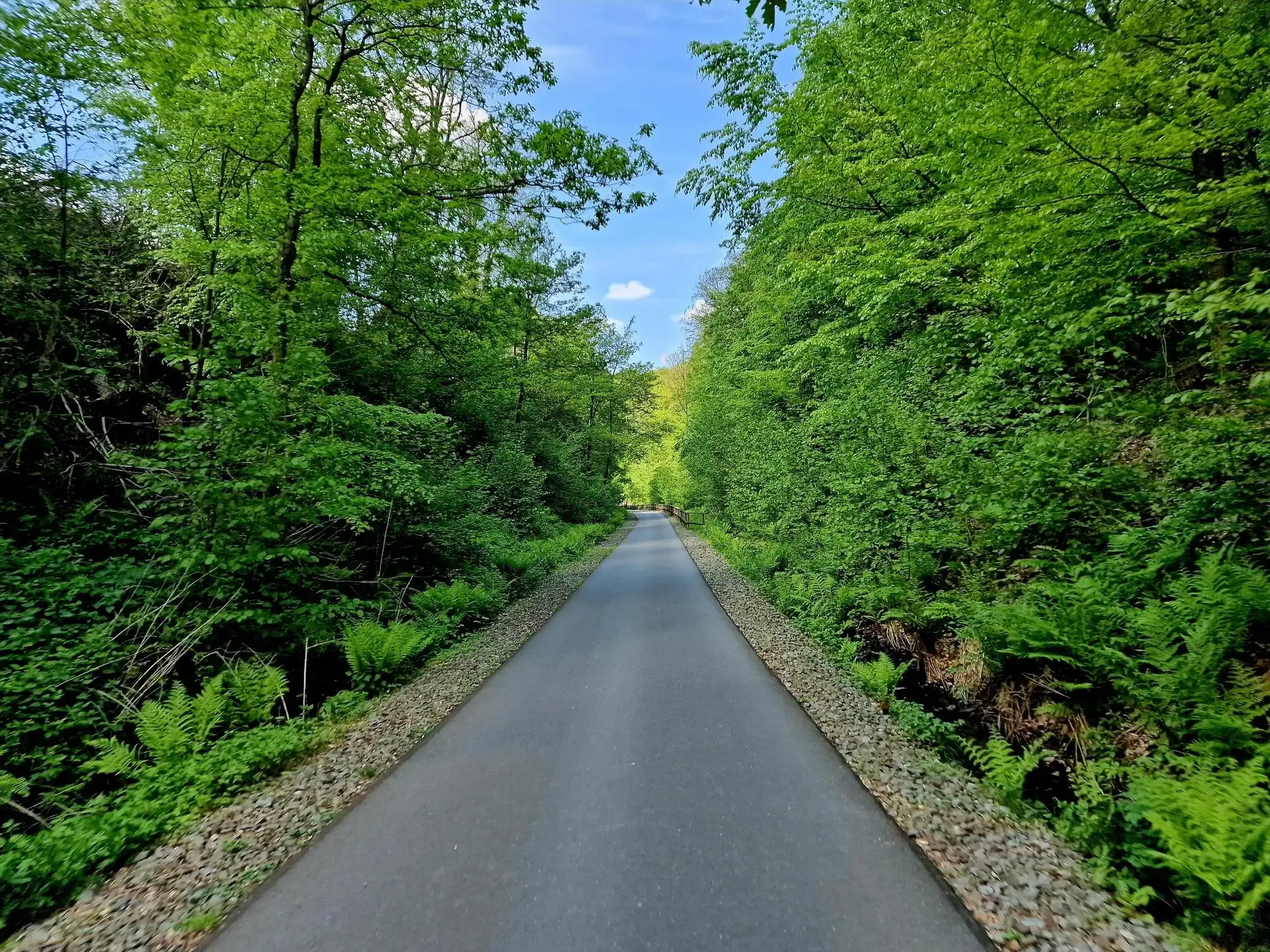
WHEW 100 – An Ultramarathon in three days in the middle of NRW
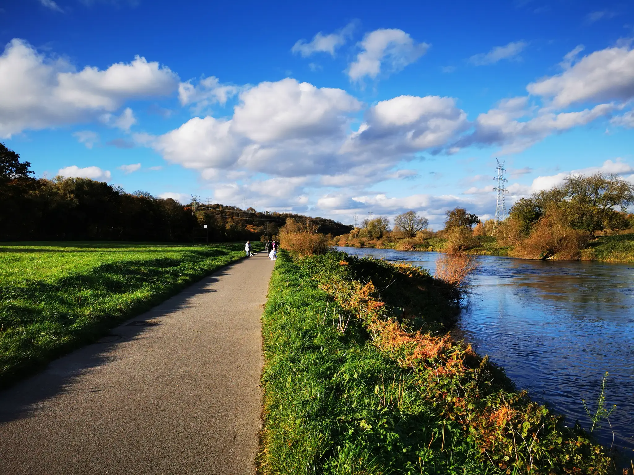
Ruhr Valley cycle path — 6 stages from Winterberg to the Rhine
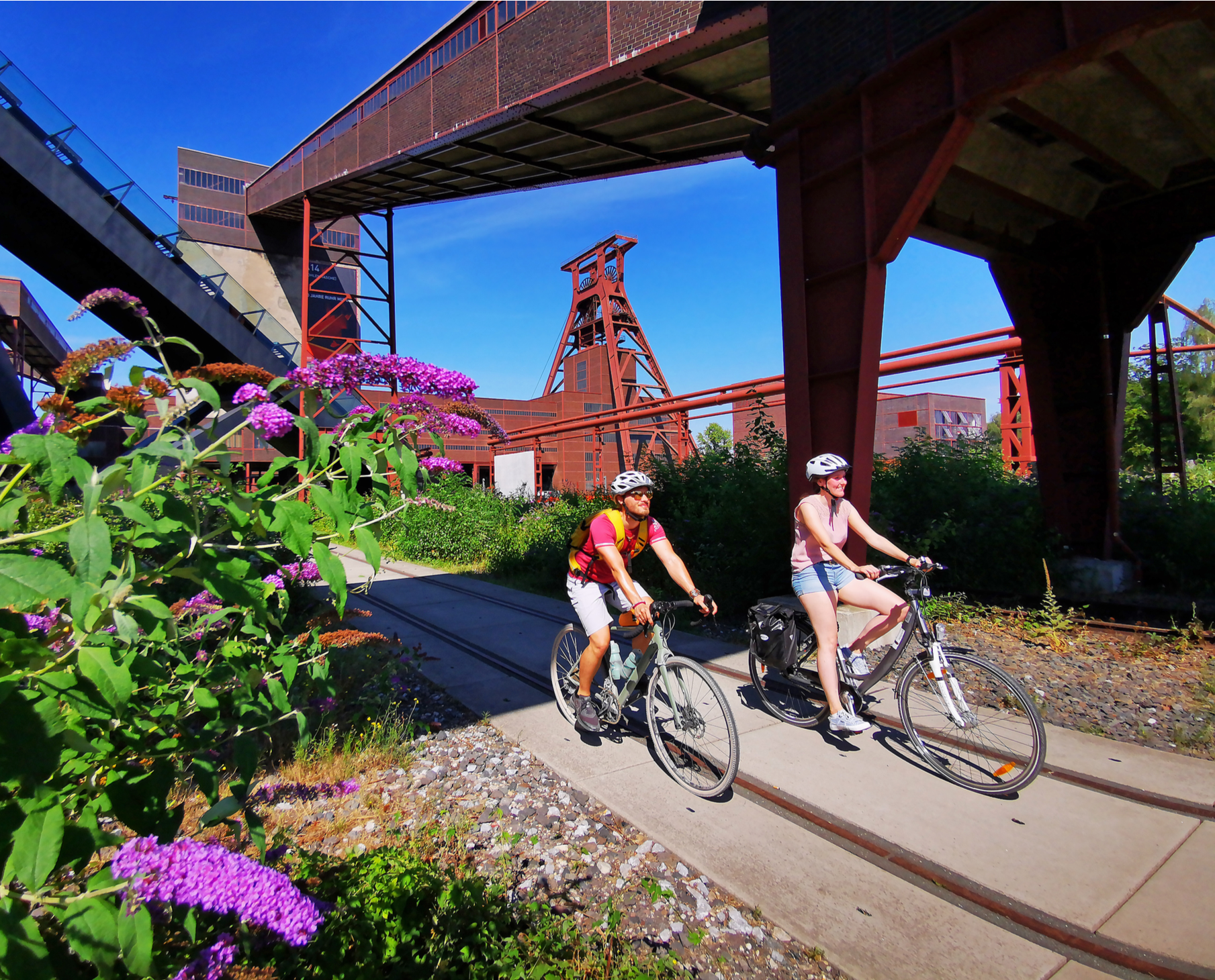
Railway cycling and industrial heritage in the Ruhr area – RevierRouten
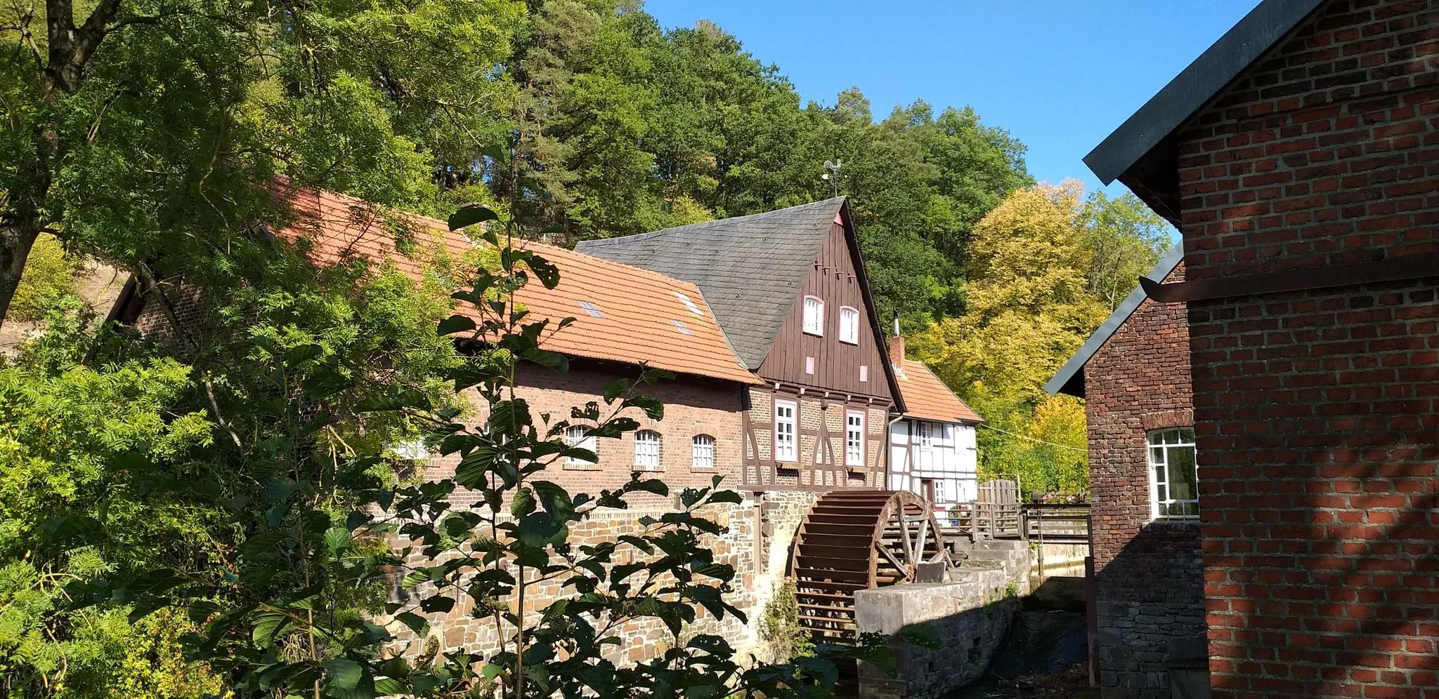
Hike through history in Germany’s Ruhr area – WestfalenWanderWeg
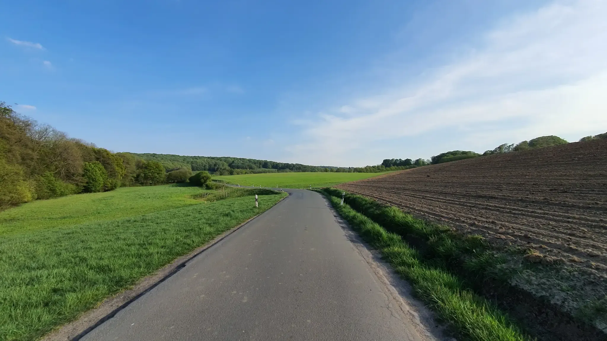
Hills, valleys and tracks – cycling in Elfringhauser Schweiz
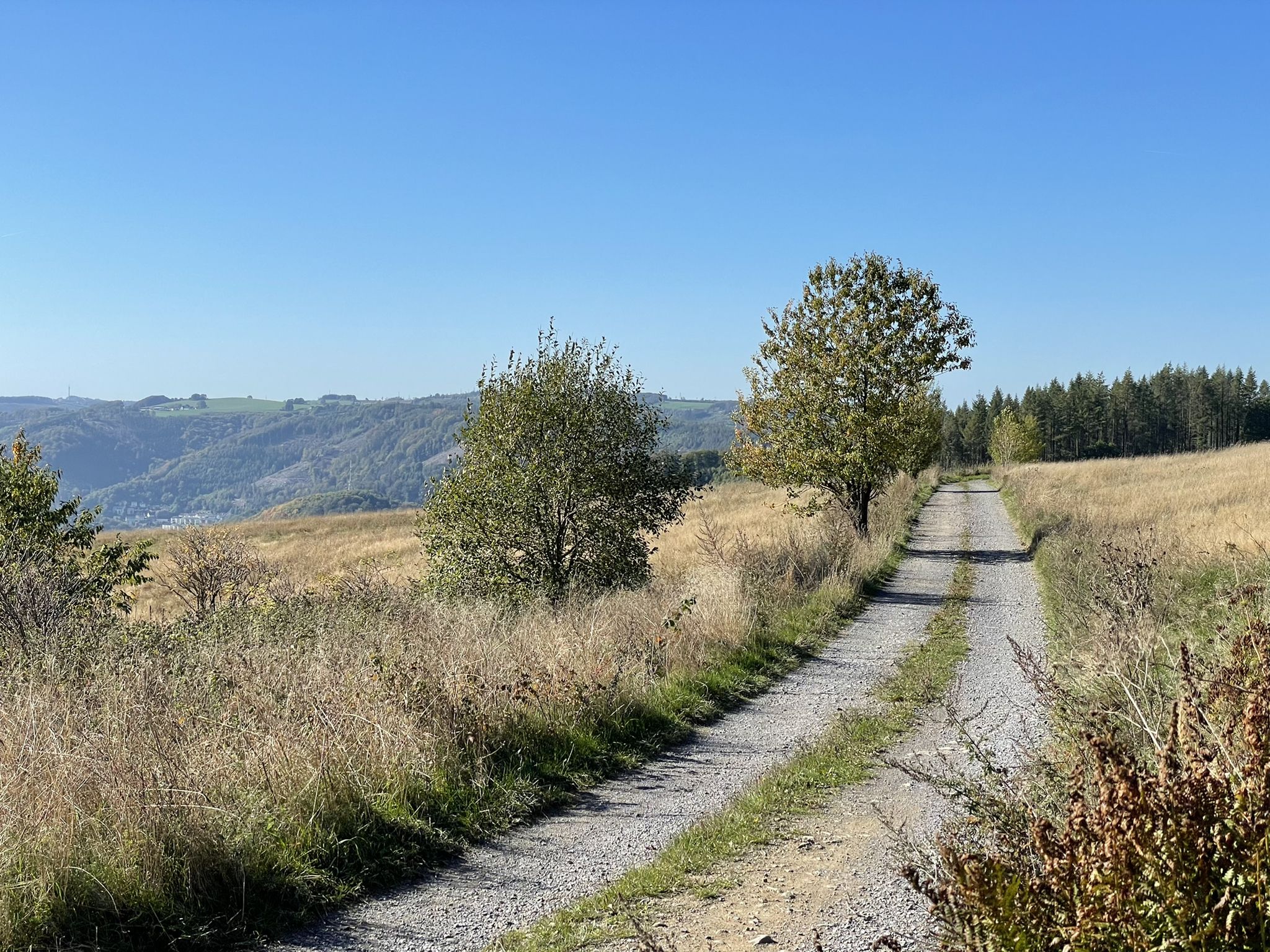
Harkortweg (X 17)
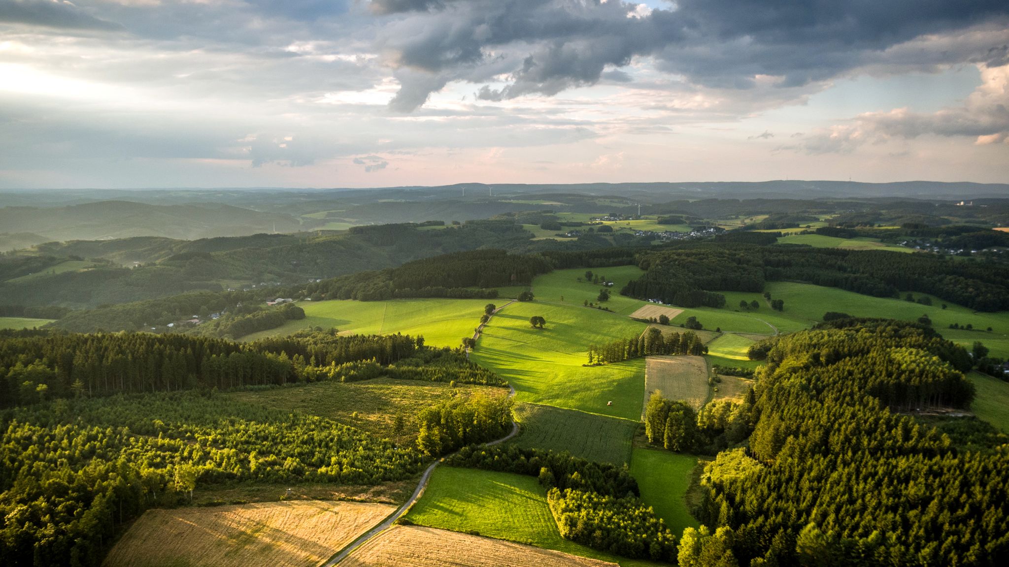
Panoramic adventures — explore Germany’s Bergisches Land
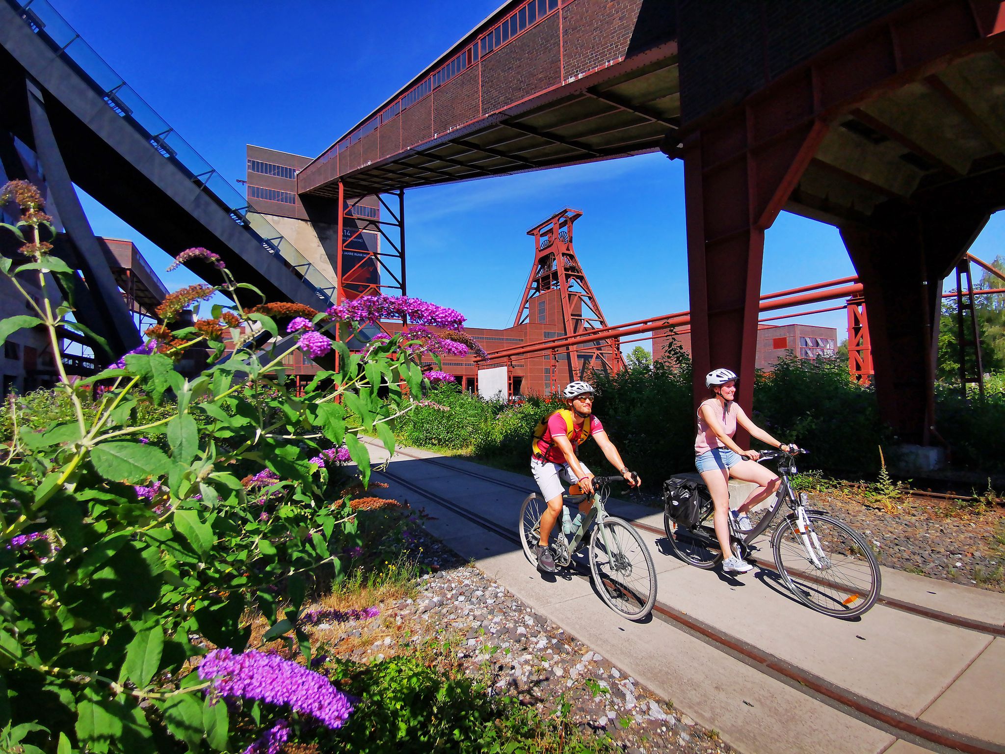
The RevierRouten in the radrevier.ruhr
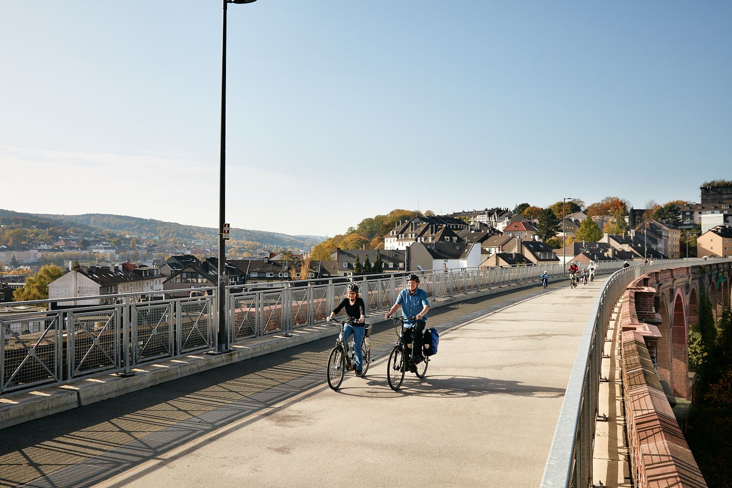
Railway lines & industrial heritage – Cycling through the Bergisches Land
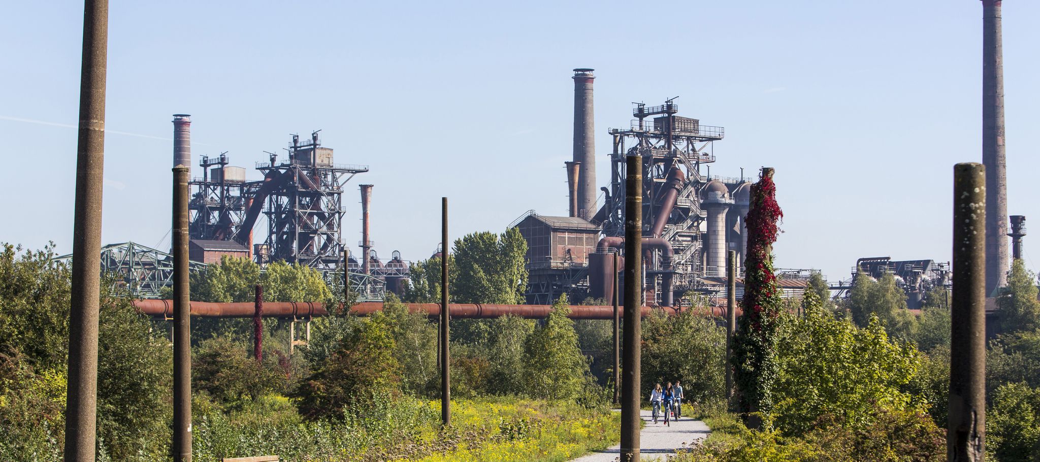
Industry, history, nature — a colorful journey through the radrevier.ruhr
Other adventures around Hattingen


Tips from the Community

The Recklinghausen artist Herman Prigann incorporated the former heap of rubble into an art concept: in the years that followed, a kind of adventure landscape for the triad of people, nature and technology emerged from the industrial wasteland, on which forest and vegetation have been able to spread since the colliery was closed. Paths arranged in a spiral lead up to the roughly ten meter high "Stairway to Heaven"; In the "Sculpture Forest" there are remains of demolished industrial plants, which only on closer inspection reveal themselves as works of art made of concrete, steel and natural materials.
13
0
The Rhein-Elbe dump is always worth a visit. Once at the top, you can enjoy a good view over parts of the Ruhr area.
11
0

When the weather is nice, you certainly have a great view of the surrounding landscape. 😊
7
0
The Rheinelbe dump is well enough with the heavenly staircase on it. In good weather you have a great view. 😊
7
0

A legend is associated with the Stübchensberg. A gallows is said to have stood there on which an innocent man was executed. Immediately after the execution, the innocence was proven and the gallows was broken off immediately, the judge immediately resigned on site. Since then, the place of the gallows has always been damp because the tears for the executed person well up there. The Stübchensberg is a 271 meter high, wooded ridge on the border of the Wuppertal districts of Elberfeld and Barmen. topology The ridge is located in the north of the geographical center of Wuppertal and extends in an east-west direction. The district of Uellendahl is to the north and the district of Clausen to the south. The Mirker Bach runs at the northern foot of the ridge and the Schönebeck at the south. To the west is the neighboring Uellendahler Berg, which belongs to the ridge and on the western flank of which is the Jewish cemetery at the Weinberg. The southern flank of the Stübchensberg is cut through by the federal motorway 46, behind which lies the Helios Klinikum Wuppertal. The city limits of the two formerly independent cities of Elberfeld and Barmen, today the city district border between the Wuppertal districts of Uellendahl-Katernberg and Barmen, ran on the ridge. Source: https://de-academic.com/dic.nsf/dewiki/1343146
1
0

Nice view from the Himmelsleiter in all directions. Unfortunately, everything is smeared with graffiti, even billboards and 'sculptures' memorial stones. It's a shame.
7
0

This green oasis extends between Opphof, Straße Am Weinberg, and Winchenbachstraße. and is one of the city's green lungs. The nearby A 46 cannot be overheard at least now in spring due to the boiler location. A couple of paths lead parallel over or along the mountain. Depending on the direction you are looking at, you always have views over the districts of Üllendahl and Elberfeld. The highest point is 271 m. If you cross under the autobahn near the sports facility "Am Gelben Sprung" you can directly reach the north park.
1
0

The height of the Rheinelbe dump above the surrounding area is 46 meters. Looks great from up here.
11
1
Frequently Asked Questions
What kind of elevated areas or 'mountain peaks' can I expect around Hattingen?
Hattingen is characterized by rolling green hills and dense forests rather than traditional mountain peaks. The highest elevation in the area reaches approximately 306 meters above sea level. Notable elevated areas include the wooded Schulenberg, home to the Bismarck Tower, and the scenic Elfringhauser Schweiz, known for its varied landscape of forests, meadows, and fields.
What are some popular viewpoints or landmarks on these elevated areas?
Visitors often enjoy the Sky Staircase on Halde Rheinelbe, which offers panoramic views over the Ruhrgebiet. Another significant landmark is the Bismarck Column Essen on the Mechtenberg, an almost 17-meter-high historical monument. The Tippelsberg Summit Viewpoint also provides extensive views, stretching up to 80 km on clear days.
Are there family-friendly hiking options around Hattingen's hills?
Yes, many of the trails through Hattingen's hilly terrain are suitable for families. Areas like Elfringhauser Schweiz offer well-marked hiking trails that cater to different fitness levels, providing a tranquil escape into nature. The Tippelsberg Summit Viewpoint is also noted as family-friendly.
What outdoor activities can I do near Hattingen's elevated areas?
The region around Hattingen is excellent for various outdoor activities. You can find numerous hiking trails, such as those in Elfringhauser Schweiz, and explore routes for gravel biking and road cycling. For hiking, consider routes like the 'Felderbachtal Nature Reserve' or 'View of the Ruhr Valley – Elfringhauser Schweiz Meadow loop'. For cycling, there are options like 'Elfringhausen Switzerland - Gravel tours' or 'Around Hattingen'. You can find more details on these activities in the hiking guide, gravel biking guide, and road cycling guide for Hattingen.
What is the highest point in the Hattingen area?
The highest elevation in Hattingen reaches approximately 306 meters (1,004 feet) above sea level. While not a traditional mountain, this point contributes to the area's picturesque and hilly landscape.
Are there any historical sites or features on these elevated areas?
Yes, the Schulenberg hill features the historic Bismarck Tower, built in 1901, and the Schulenburg restaurant from 1903. Additionally, the 195-meter-long Schulenberg Tunnel, dating back to 1883, showcases the area's geological features. The Bismarck Column Essen on the Mechtenberg is another significant historical landmark from 1900.
What is Elfringhauser Schweiz and why is it worth visiting?
Elfringhauser Schweiz, or 'Elfringhausen Switzerland,' is a hilly and scenic region south of the Ruhr valley. It's characterized by a varied landscape of forests, meadows, and fields, making it an ideal spot for hiking, cycling, and recreation in nature. It offers a tranquil escape with numerous well-marked trails, including sections of the long-distance Ruhrhöhenweg and neanderlandSTEIG.
Can I bring my dog on the hiking trails around Hattingen?
Generally, the natural areas and hiking trails around Hattingen, including Elfringhauser Schweiz, are dog-friendly. However, it's always advisable to keep dogs on a leash, especially in nature reserves or areas with wildlife, and to respect local signage regarding dog rules. Always carry bags to clean up after your pet.
What is the best time of year to visit Hattingen for hiking and outdoor activities?
Hattingen's rolling hills and forests offer beautiful scenery throughout the year. Spring and autumn are particularly pleasant for hiking, with mild temperatures and vibrant foliage. Summer provides lush green landscapes, while winter can offer a unique, serene experience, though some trails might be slippery or require appropriate gear.
Are there any specific regulations or permits required for hiking in Hattingen?
Generally, no specific permits are required for hiking on public trails in Hattingen. However, it's always good practice to stay on marked paths, respect private property, and adhere to any local regulations, especially within nature protection areas like parts of Elfringhauser Schweiz.
What do visitors enjoy most about the elevated areas around Hattingen?
Visitors frequently appreciate the diverse views over the Ruhr area, the blend of natural landscapes with historical landmarks, and the opportunities for active recreation. The unique character of the spoil heaps, like Rheinelbe spoil heap, and the tranquil beauty of areas like Elfringhauser Schweiz are often highlighted as favorite aspects.
Where can I find more information about Hattingen's tourism and hiking opportunities?
For more detailed information on hiking trails and general tourism in Hattingen, you can visit the official Hattingen Tourism website. Specifically, for hiking, you can check out hattingen-tourismus.de/en/explore/hiking-in-hattingen/.
Most popular routes around Hattingen
Most popular attractions around Hattingen

Get inspired with the komoot mobile app


Explore more
See even more amazing summits around Hattingen with these guides:
