The best road cycling routes around California
5.0
(13)
117
riders
20
rides
Road cycling around California offers diverse terrain, from coastal roads to inland valleys and rolling hills. The region features varied landscapes, including agricultural areas, state parks, and river systems, providing a range of environments for cyclists. Road cycling routes often traverse open countryside and can include gentle ascents and descents. The network of roads supports both leisurely rides and more challenging routes.
Best road cycling routes around California
- The most popular road cycling route is Mill Creek loop from Solomons…
Last updated: July 2, 2026
5.0
(1)
19
riders
34.5km
01:32
150m
150m
Easy road ride. Great for any fitness level. Mostly well-paved surfaces and easy to ride.
7
riders
77.1km
03:20
460m
460m
Moderate road ride. Good fitness required. Mostly well-paved surfaces and easy to ride.

Sign up for free
5.0
(1)
6
riders
45.4km
02:00
220m
220m
Easy road ride. Great for any fitness level. Mostly well-paved surfaces and easy to ride.
7
riders
75.3km
03:19
330m
330m
Moderate road ride. Good fitness required. Mostly well-paved surfaces and easy to ride.
5
riders
28.4km
01:07
120m
120m
Easy road ride. Great for any fitness level. Mostly well-paved surfaces and easy to ride.
Get access to more routes and recommendations from other explorers.
Sign up for free
Already have an account?
Our route recommendations are based on thousands of hikes, rides, and runs completed by other people on komoot.
Start today with a free account
Your next adventure awaits.
Login or Signup
Popular around California

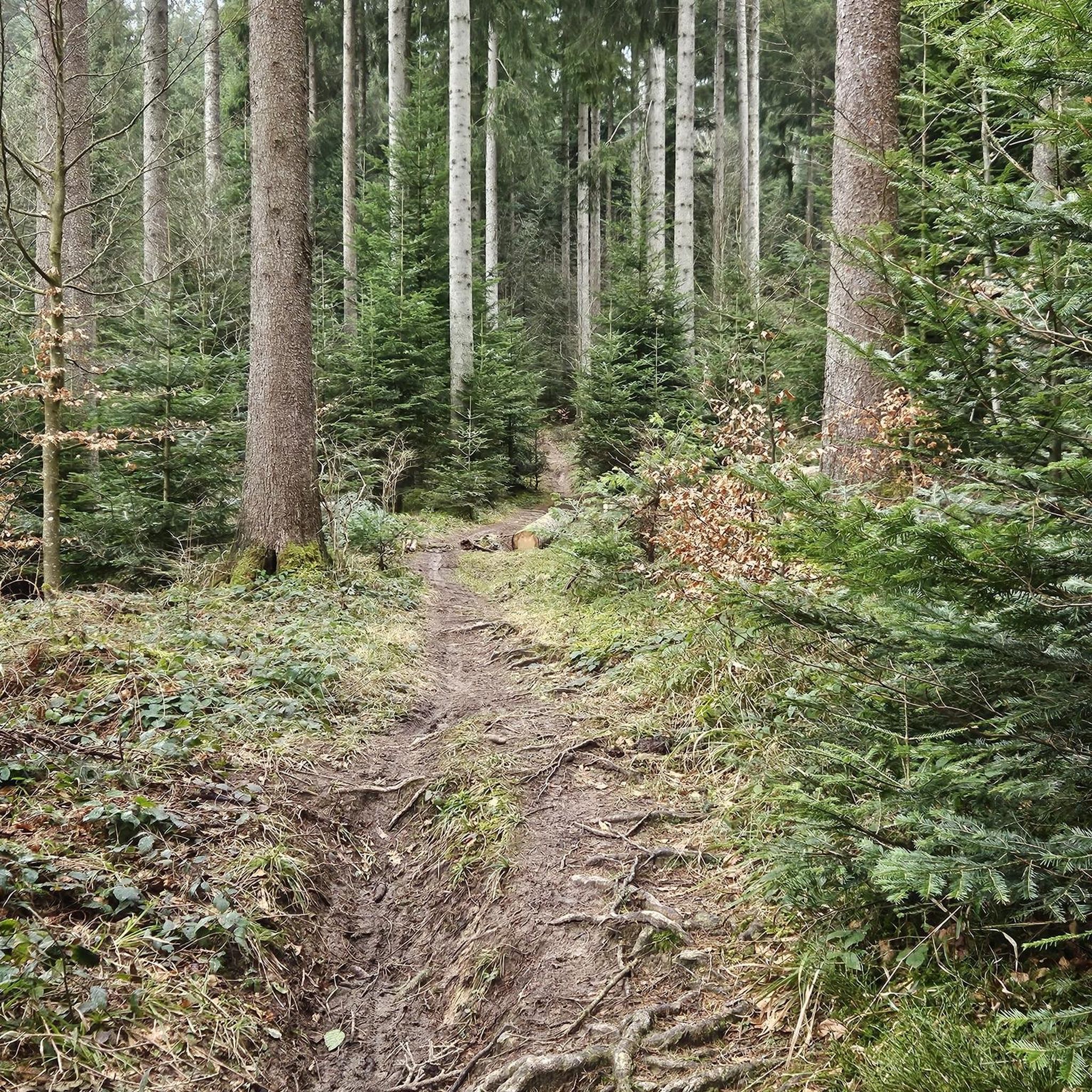
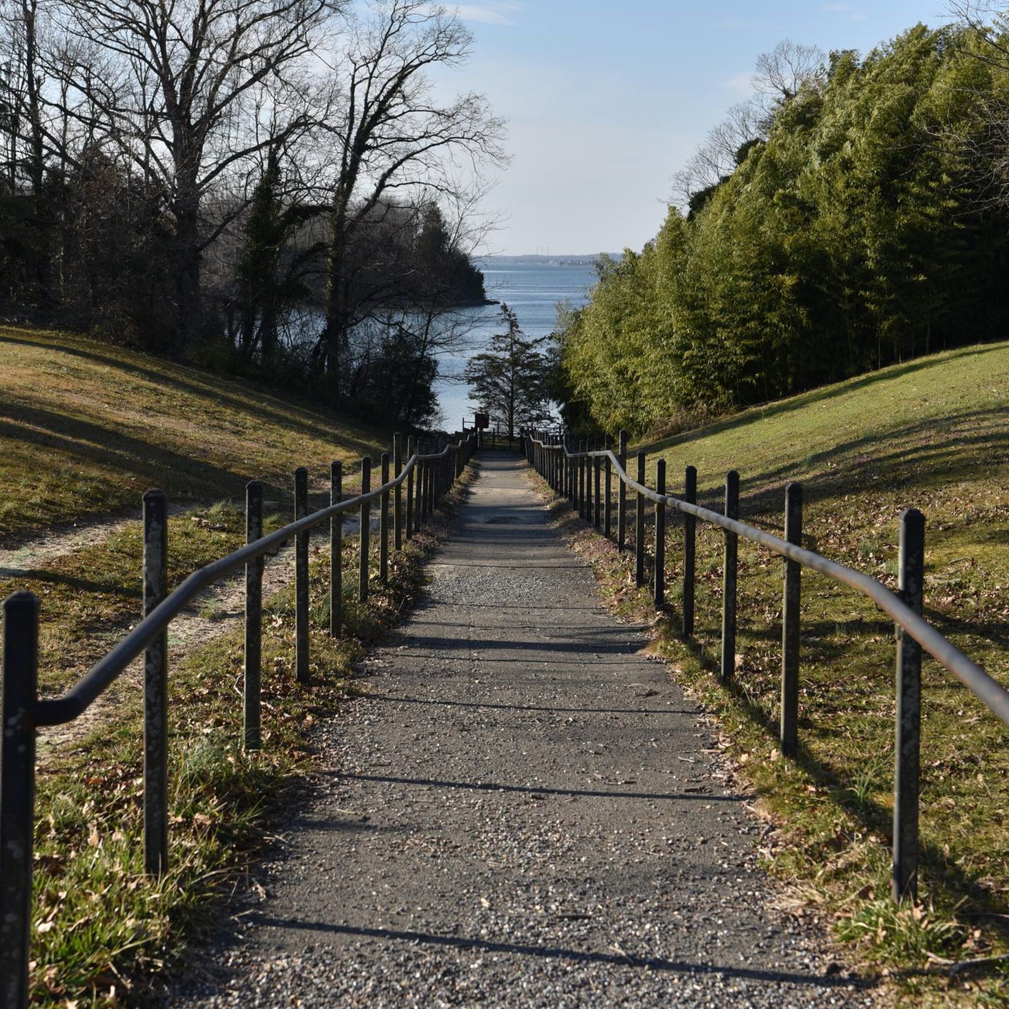
Tips from the Community

Calver Cliffs is a small but diverse State Park on the coast of the Chesapeake Bay. In addition to the miles of hiking trails, picnic area, and playground you'll also find a portion of the 24-mile stretch of cliffs made up of former sea beds. This is the namesake of the park and a truly fascinating area where you can look back through time and possibly find fossils of a wide variety of prehistoric sea creatures.
0
0
Mill Creek is located at the mouth of the Patuxent River in the Solomans Island region, and is a popular area for boating and yachting access to the Chesapeake Bay.
1
0

ti re e went flat at about 30 mile mark. MPH went down tire looked low but I was little tired and some wind which both were not the reason for MPH dropping off the way it did. That is average not just instantaneous MPH dropped from low rear tire pressure. Must have been a bump. I do keep higher tire pressure which I suppose is sensitive to bumps.
0
0
Frequently Asked Questions
How many road cycling routes are available in California?
There are over 15 road cycling routes around California, offering a variety of experiences. The majority of these, 15 routes, are rated as easy, while 4 routes present a moderate challenge for cyclists.
Are there road cycling routes suitable for beginners in California?
Yes, California offers many easy road cycling routes perfect for beginners. For instance, the Mill Creek loop from Calvert Cliffs State Park is an easy 22.1-mile (35.6 km) route, and the Mill Creek loop from Solomons is another accessible 21.4-mile (34.5 km) option.
What kind of terrain can I expect on road cycling routes in California?
Road cycling routes in California feature diverse terrain, including coastal roads, inland valleys, and rolling hills. You'll traverse agricultural areas, state parks, and river systems, with routes often including gentle ascents and descents through open countryside.
Are there any longer, more challenging road cycling routes for experienced cyclists?
For experienced cyclists seeking a longer ride, the Calvert Cliffs State Park loop from Solomons is a moderate 47.9-mile (77.1 km) route that provides a more extended challenge with greater elevation changes.
What can I see along the road cycling routes in California?
Many routes offer scenic views and pass by natural attractions. You might encounter areas like Mill Creek, Calvert Cliffs State Park, St. Mary's Lake, Greenwell State Park, and Myrtle Point Park, offering opportunities to enjoy the natural beauty of the region.
Are there road cycling routes that are loops?
Yes, many road cycling routes in California are designed as loops, providing a convenient way to start and end your ride in the same location. Examples include the Tide Box loop from Chesapeake Ranch Estates and the Calvert Cliffs State Park loop from Chesapeake Ranch Estates.
What do other road cyclists say about cycling in California?
The road cycling routes in California are highly rated by the komoot community, with an average score of 5.0 stars from over 9 reviews. Cyclists often praise the varied landscapes and the options available for different ability levels.
Are there any road cycling routes that pass through state parks?
Yes, several routes incorporate state parks into their paths. For instance, the Mill Creek loop from Calvert Cliffs State Park begins near Calvert Cliffs State Park, allowing cyclists to experience the natural environment of the park area.
What is the typical duration for road cycling routes in California?
The duration of road cycling routes varies, but many easy loops can be completed in about 1 to 2 hours. For example, the Tide Box loop from Chesapeake Ranch Estates typically takes around 1 hour and 13 minutes.
Are the road cycling routes in California suitable for leisurely rides?
Absolutely. The network of roads in California supports both leisurely rides and more challenging routes. Many of the easy loops are perfect for a relaxed pace, allowing you to enjoy the scenery without significant exertion.
What are the elevation gains like on these road cycling routes?
The routes generally feature gentle ascents and descents. For example, the Mill Creek loop from Calvert Cliffs State Park has an elevation gain of approximately 156 meters, while the longer Calvert Cliffs State Park loop from Solomons has about 456 meters of elevation gain, offering options for different fitness levels.
Most popular routes around California
Most popular attractions around California

Get inspired with the komoot mobile app


Explore more
Browse the best Road cycling routes in other regions.
