The best road cycling routes around Mount Rainier
4.3
(178)
6,293
riders
148
rides
Road cycling around Mount Rainier is defined by an active volcanic landscape, dense old-growth forests, and subalpine meadows. The region features significant elevation changes, with routes winding through valleys and past waterfalls. Cyclists can experience diverse ecosystems, from temperate rainforests to exposed alpine environments. The terrain offers a range of experiences for road cyclists seeking both demanding ascents and picturesque rides.
Best road cycling routes around Mount Rainier
- The most popular road cycling route is Query Mill & Glen Road…
Last updated: July 13, 2026
4.6
(5)
176
riders
44.6km
01:56
100m
100m
Easy road ride. Great for any fitness level. Mostly well-paved surfaces and easy to ride.
5.0
(9)
51
riders
39.3km
01:37
230m
230m
Easy road ride. Great for any fitness level. Mostly well-paved surfaces and easy to ride.

Sign up for free
4.7
(3)
34
riders
Easy road ride. Great for any fitness level. Mostly well-paved surfaces and easy to ride.
27
riders
36.5km
01:33
210m
210m
Easy road ride. Great for any fitness level. Mostly well-paved surfaces and easy to ride.
24
riders
37.3km
01:34
190m
190m
Easy road ride. Great for any fitness level. Mostly well-paved surfaces and easy to ride.
Get access to more routes and recommendations from other explorers.
Sign up for free
Already have an account?
Our route recommendations are based on thousands of hikes, rides, and runs completed by other people on komoot.
Start today with a free account
Your next adventure awaits.
Login or Signup
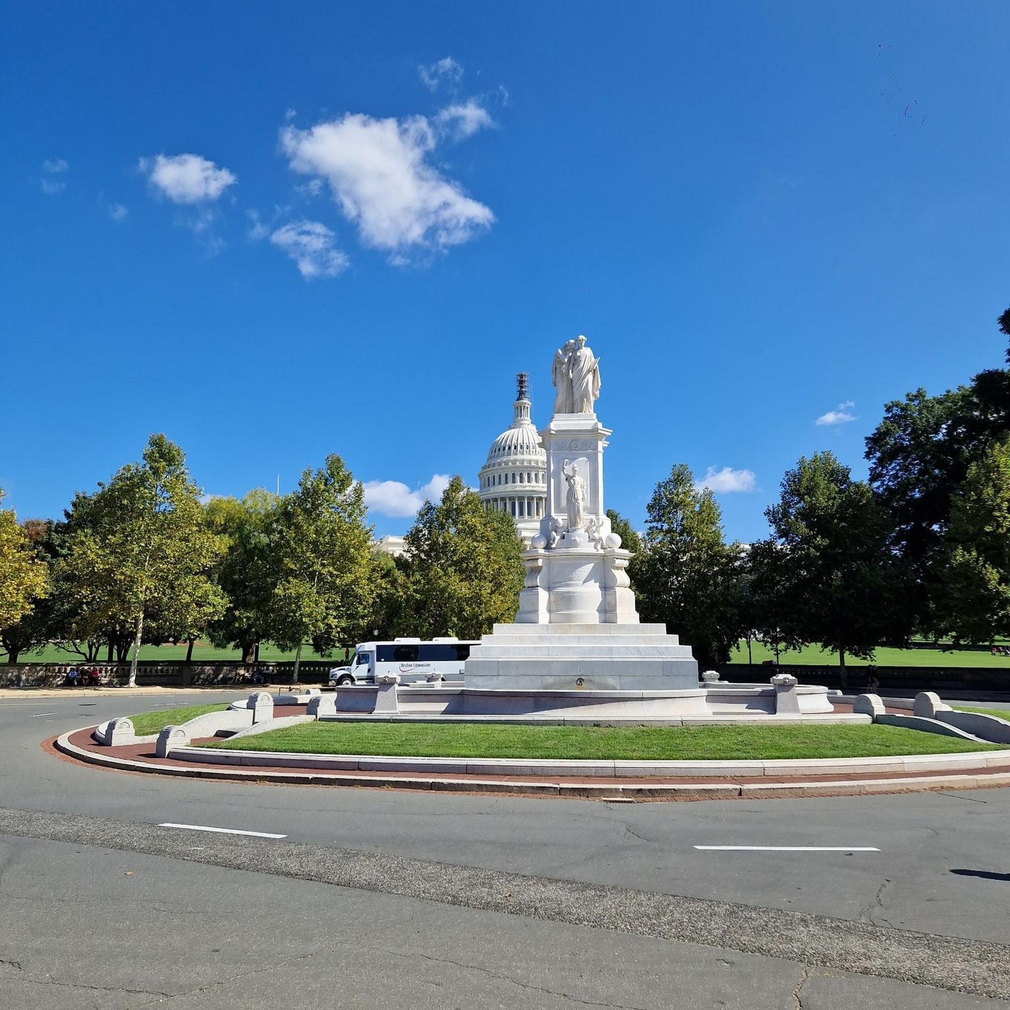

Tips from the Community

Hello
0
0

This site is famous for a very important and unfortunate event in American history: the Battle of Bladensburg during the War of 1812. You can learn about the battle, see historical markers, and understand how this event shaped the nation.
0
0

Artemesia Lake, a 38-acre man-made lake, is named after Artemesia N. Drefs, who donated the area in 1972. The lake features a fishing dock, and it's common to see people enjoying various water activities.
0
0

The Sligo Creek Trail is a paved multi-use path with numerous parking and access points all through town. You can connect to a bunch of other bike paths including the Rachel Carson Greenway.
1
0

It’s really a skateboard track, but I was really tempted to test it with my bike
1
0

The Anacostia Riverwalk Trail follows along the Anacostia River from Bladensburg to the Navy Yard, covering 21.5 miles through forests, fields, marshes, and river ecosystems. Ideal for walking, jogging, biking, or dog walking, the paved trail offers scenic views of the Anacostia River and its wildlife. It passes through Anacostia Park and Kenilworth Aquatic Gardens and connects to five bridges and several city bike routes. The trail features asphalt, boardwalk, brick, and concrete surfaces, with access points at Hyattsville, MD, and The Wharf in D.C.
0
0

From this spot you get a fantastic view of the Frederick Douglass Memorial Bridge. The bridge was completed in 2021 and is a large, striking through arch bridge spanning South Capitol Street over the Anacostia River in Washington, D.C. Replacing the 1950 South Capitol Street Bridge, which was renamed in honor of abolitionist Frederick Douglass in 1965, the new structure features three sets of parallel white arches, six lanes, bicycle and pedestrian paths, and an esplanade. Construction began in 2018, aligning with Douglass' bicentennial, and the bridge opened in stages in September 2021. The old bridge was dismantled in early 2021, completing the project and marking it as the largest public works initiative in D.C. history.
0
0

I don't "recommend" the bridge itself - it has not improved since the previous comments were made in 2019 and 2021 - but it is a necessary part of an excellent ride along the Anacostia bicycle path. The Bladensburg riverfront park just south of the bridge has good facilities, with restrooms large enough to bring your bike inside for security while you take care of things. But the bridge itself - it's still as bumpy as a rutted trail in the woods, and often with families crossing it, so be careful. The downhill is tempting, but take it slow.
2
0
Frequently Asked Questions
What types of road cycling routes are available around Mount Rainier?
Mount Rainier offers a diverse range of road cycling experiences, from challenging climbs with significant elevation gains to scenic, gentler paths. You can find routes through lush old-growth forests, past alpine meadows, and with sweeping views of volcanic peaks. The park's varying elevations create diverse conditions suitable for intermediate to advanced cyclists, though some easier sections exist.
How many road cycling routes are there in the Mount Rainier area?
There are over 140 road cycling routes available around Mount Rainier, catering to various skill levels. Approximately 74 of these are considered easy, 58 are moderate, and 9 are more difficult, ensuring options for nearly every cyclist.
What are some notable landmarks or natural features I can see while road cycling in Mount Rainier National Park?
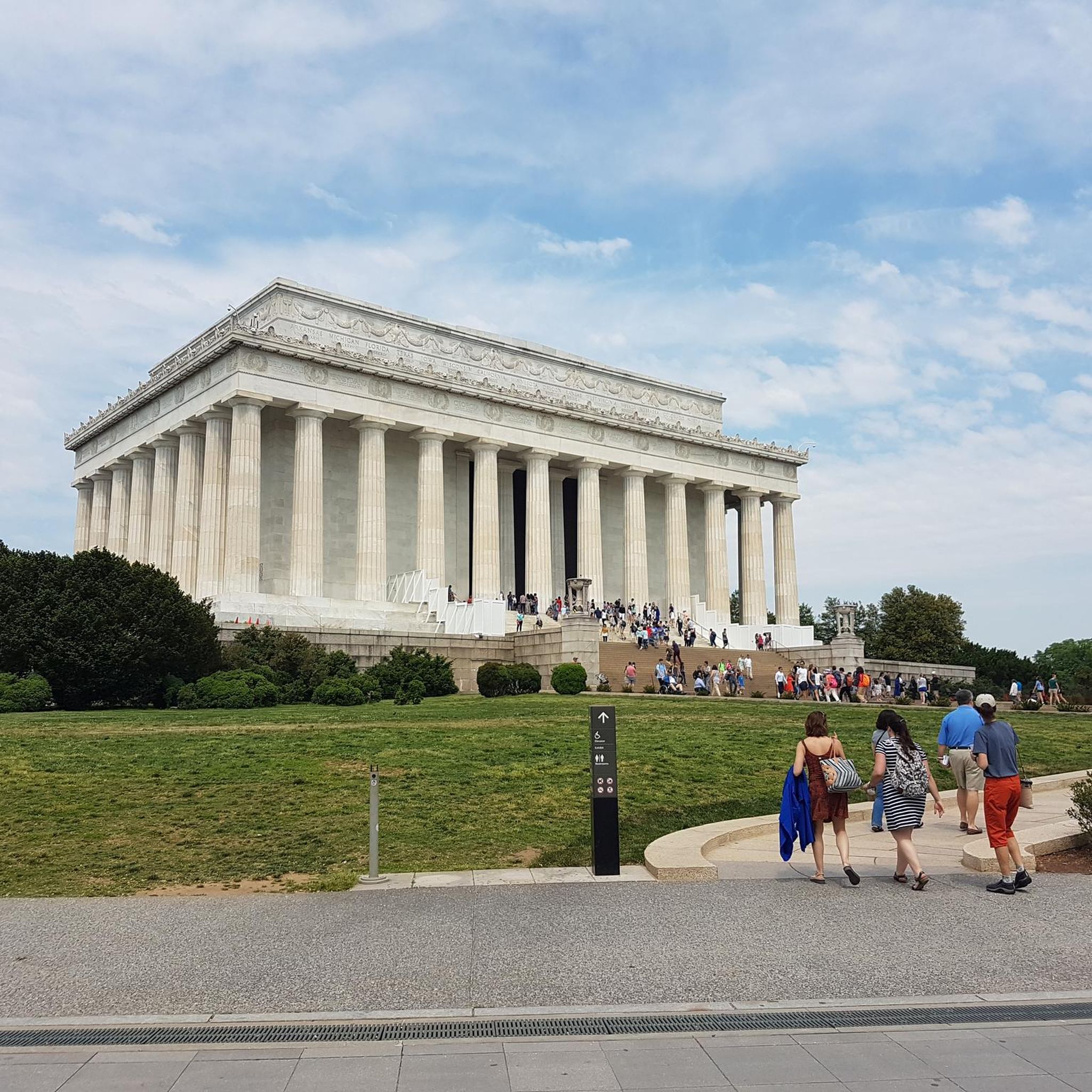
Road cycling routes around Mount Rainier offer stunning views of the active volcano itself, along with numerous glaciers like the massive Carbon Glacier and Emmons Glacier. You can also experience ancient forests, vibrant subalpine wildflower meadows, and several beautiful waterfalls such as Narada Falls, Ruby Falls, and Myrtle Falls. For specific attractions, consider visiting the Lincoln Memorial or the Washington Monument, which are highlights in the broader region.
Are there any family-friendly road cycling options around Mount Rainier?
While many routes in Mount Rainier involve significant climbs, there are sections and paths that are more accessible. For example, the Westside Road is closed to motor vehicles beyond the first three miles, offering a dedicated path for cyclists through old-growth forests. Similarly, the Carbon River Road is accessible only to bikers and hikers beyond the park entrance, providing a flatter, gravel option. For a moderate, urban park experience, you might consider a route like the Anacostia Riverwalk Trail loop, which is about 25 miles long.
What is the best time of year for road cycling around Mount Rainier?
The best times for road cycling around Mount Rainier are typically early in the season after snow clearance (late spring/early summer) and in the fall (mid-to-late October) before winter snows. During these periods, some roads like White River and Sunrise Roads may be closed to motor vehicles, offering unique car-free cycling opportunities. Fall also brings beautiful foliage and fewer crowds.
Are there any car-free road cycling opportunities in Mount Rainier National Park?
Yes, there are unique car-free opportunities. The White River and Sunrise Roads, for instance, are often closed to motor vehicles early in the season after snow clearance or in mid-to-late October before winter snows, allowing cyclists to enjoy these challenging climbs without traffic. The Westside Road and Carbon River Road also offer sections dedicated to non-motorized use.
What do other road cyclists enjoy most about cycling in Mount Rainier?
The Mount Rainier area is highly rated by the komoot community, with an average score of 4.5 stars from over 200 reviews. Cyclists often praise the breathtaking views of the active volcano, the challenging climbs, and the diverse natural beauty, including old-growth forests, alpine meadows, and numerous waterfalls. The unique experience of car-free roads during specific seasons is also a highlight.
Are there any loop routes for road cycling in the Mount Rainier area?
Yes, several challenging road cycling loops exist. For example, the Longmire, Paradise, Valley Road, and Ruby Falls loop offers stunning views and a significant climb. Other options include the Tipsoo Lake – Chinook Pass loop and the Narada Falls – Paradise Inn loop, providing various distances and elevation gains. A moderate loop like the Sligo Creek Trail loop is about 24 miles long and offers a pleasant ride.
Where can I find information about park rules and regulations for bicycling in Mount Rainier National Park?
For detailed information on bicycling rules, regulations, and road conditions within Mount Rainier National Park, it is best to consult the official National Park Service website. You can find specific guidance on their bicycling page: nps.gov/mora/planyourvisit/bicycling.htm.
What kind of terrain and elevation can I expect on road cycling routes around Mount Rainier?
Road cycling around Mount Rainier is characterized by significant elevation changes. Routes can range from relatively flat sections through valleys to challenging climbs, with some ascents reaching over 3,000 feet, such as the climb to Sunrise. The terrain varies from paved park roads to gravel sections, winding through dense forests and open alpine landscapes.
Are there any easy road cycling routes suitable for beginners around Mount Rainier?
While many routes are challenging, some sections are easier. The Carbon River Road, for instance, is a flatter gravel path beyond the park entrance. For a more urban, easy ride, a route like the Anacostia Riverwalk Trail loop from West Hyattsville, which is about 14 miles, provides a gentle experience through parkland.
Can I find any routes that pass by lakes or water features in the Mount Rainier area?
Yes, the Mount Rainier region is rich in water features. While cycling, you'll encounter numerous rivers fed by glaciers and can find routes that offer views of various lakes. For specific lake highlights, you might explore areas near the Capitol Reflecting Pool or Tidal Basin, which are prominent water features in the broader region.
Most popular attractions around Mount Rainier

Get inspired with the komoot mobile app


Explore more
Browse the best Road cycling routes in other regions.
