The best walks and hikes around Valle di Terragnolo
4.5
(9053)
53,496
hikers
720
hikes
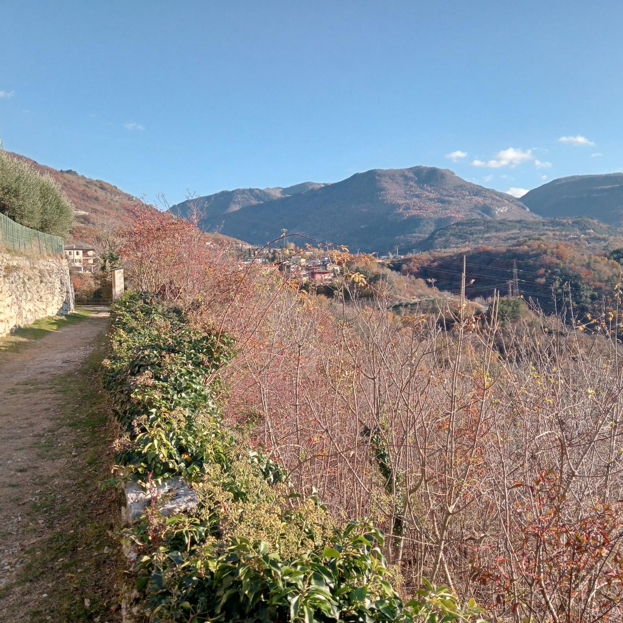
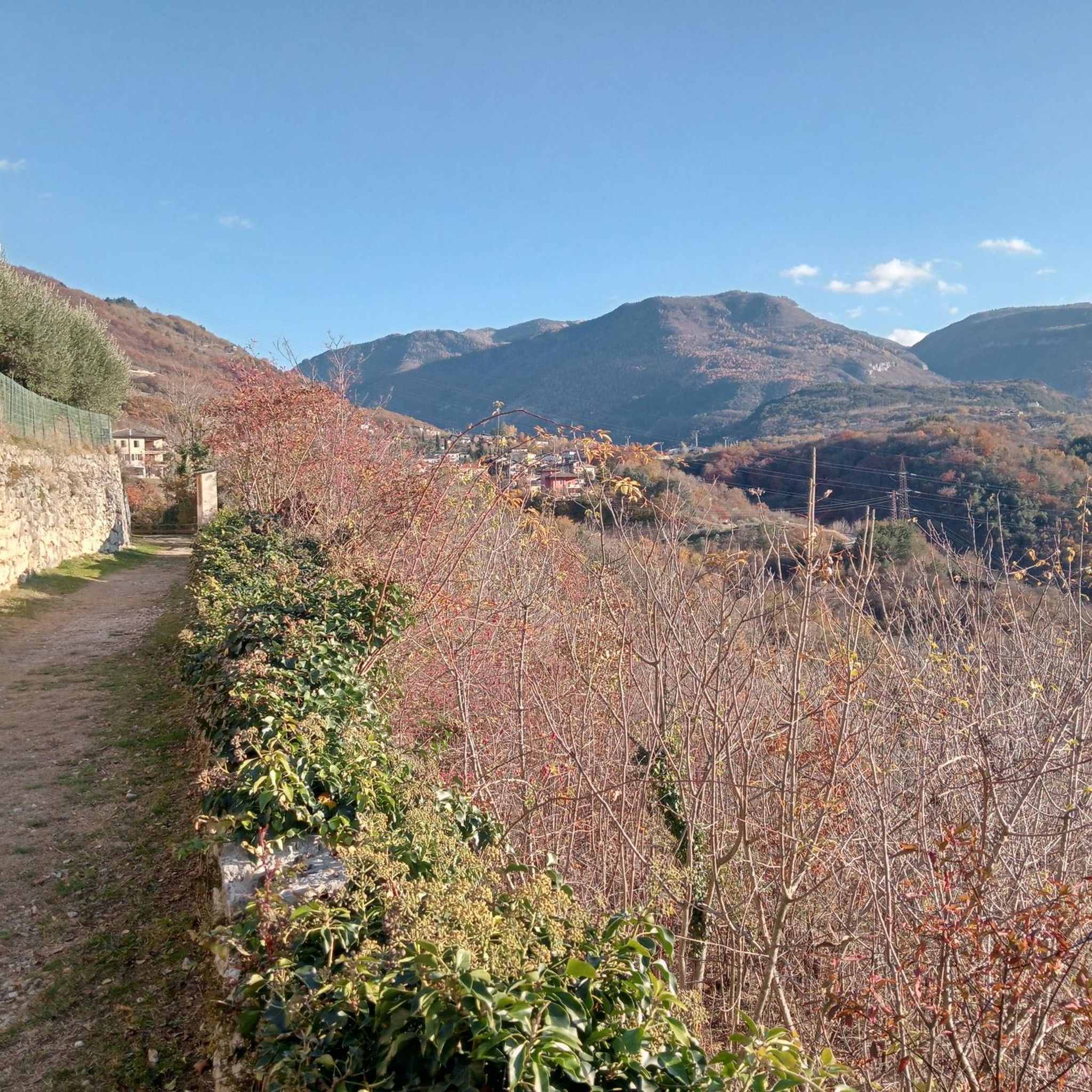
Hiking around Valle di Terragnolo offers diverse terrain within a fluvio-glacial valley shaped by the Leno di Terragnolo stream. The region is characterized by deep-set calcareous rocks, dense forests, and over thirty hamlets scattered across its slopes. Hikers can explore varied landscapes, from river valleys to higher altitudes, including Mount Maggio and Mount Pasubio. This natural environment provides extensive opportunities for outdoor activities and quiet exploration.
Best hiking trails around Valle di Terragnolo
- The most popular hiking route is WWI…
Last updated: October 10, 2026
4.7
(35)
111
hikers
12.0km
04:31
540m
540m
Forest trail through WWI trenches and fortress ruins on Folgaria's historic plateau.
4.8
(21)
108
hikers
7.98km
03:26
460m
460m
Hike the moderate 5.0-mile Forra del Lupo Trail in Alpe Cimbra, exploring WWI trenches and enjoying panoramic views over 3.5 hours.

27
hikers
22.4km
07:30
850m
860m
Historic mountain path where strong women once carried goods from villages to Rovereto's markets.
4.3
(3)
28
hikers
14.3km
06:37
910m
910m
Hike the difficult 8.9-mile Monte Buso WWI Trail from Passo della Borcola, gaining 2989 feet with historical ruins and mountain views.
12.6km
05:48
950m
950m
Forest trail to restored alpine refuge passing WWI ruins and traditional malgas in Val Zuccaria.
Get access to more routes and recommendations from other explorers.
Already have an account?
Our route recommendations are based on thousands of hikes, rides, and runs completed by other people on komoot.
Start today with a free account
Your next adventure awaits.

Tips from the Community

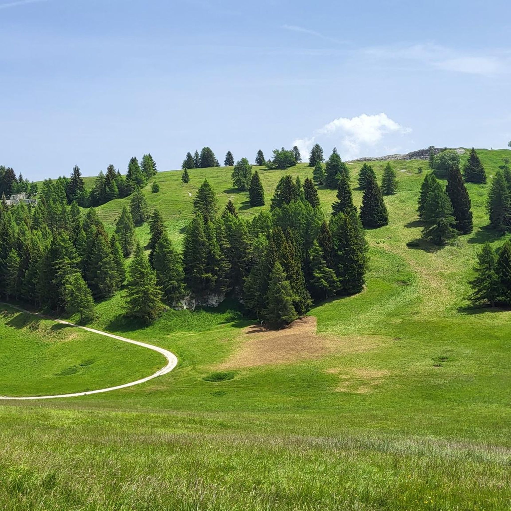
Beautiful meadow with the ruins of the old barracks.
0
0
Beautiful thematic route related to the First World War. It is a long Austro-Hungarian trench entirely dug into the rock that can be easily walked. Also suitable for children and teenagers. No strollers!
0
0
Beautiful Austro-Hungarian fortress from the First World War. Naturally, what remains are the remnants of the original fortress. It is certainly worth a visit.
0
0

The gate of San Marco is one of the many Venetian symbols present in the Trentino city of Rovereto. Once, in the Venetian era, this gate, frescoed with the lion of San Marco and the oak tree, indicated the extreme limit of Rovereto. From the gate, one then reaches the square of the same name and finally the Church of San Marco, also decorated with the lion of Venice.
1
0
One of the many churches in Rovereto, which enrich the beautiful historic center
0
0

The chapel serves as a memorial and monument for the fallen from the Austro-Hungarian era, and the two World Wars from this area. Representatively, a k.u.k. rifleman, a Kaiserjäger, and an Alpini are depicted as busts. Below them are the plaques with the names of the fallen. On the outside, there is a plaque in Italian and one in German that explain this.
0
0
Hut nestled among green pastures, if you are climbing, you are on the right track
0
0
Iconic mountain hut amidst lush green pastures
0
0
Frequently Asked Questions
What kind of terrain can I expect when hiking in Valle di Terragnolo?
Valle di Terragnolo is a fluvio-glacial valley, meaning you'll encounter diverse terrain shaped by the Leno di Terragnolo stream. Expect paths through deep-set calcareous rocks, lush forests, and trails ascending towards higher altitudes like Mount Maggio and Mount Pasubio. Many routes feature significant elevation changes, offering varied challenges and rewarding views.
Are there many hiking trails available in Valle di Terragnolo?
Yes, Valle di Terragnolo offers an extensive network of over 670 hiking routes. These range from easily accessible paths suitable for beginners to more demanding routes with significant elevation gains, ensuring options for all fitness levels.
What historical sites can I explore while hiking in Valle di Terragnolo?
The valley is rich in WWI history. Many trails lead through military engineering works, fortified ramparts, and strongholds. For example, the WWI Trenches and Fortress Trail from Serrada (SAT 136) guides hikers through trenches and fortress ruins on the Folgaria plateau. The Forra del Lupo Trail also features Austro-Hungarian trenches and shelters dug into a gorge.
Are there any family-friendly hiking options in Valle di Terragnolo?
Yes, the extensive network of trails includes options suitable for families. While specific 'family-friendly' routes aren't highlighted in the data, the presence of 171 easy routes suggests many gentle paths through forests and along the valley floor that would be suitable for a family outing. Look for routes with minimal elevation gain and shorter distances.
What is the best time of year to go hiking in Valle di Terragnolo?
The valley's lush forests and diverse landscapes are beautiful throughout the warmer months. Spring and autumn offer pleasant temperatures and vibrant scenery. In winter, the area transforms, providing opportunities for snowshoeing and mountaineering, particularly around Passo Bordala and Mount Stivo, though conditions can be challenging.
Can I find circular hiking routes in Valle di Terragnolo?
Many of the trails in Valle di Terragnolo are designed as circular routes, allowing you to start and end at the same point. This is common for trails exploring specific historical sites or natural features within the valley. For instance, the Forra del Lupo Trail is a moderate circular option.
What are some notable natural features or viewpoints in the valley?
The valley itself, shaped by the Leno di Terragnolo stream, is a significant natural feature. Hikers can enjoy panoramic views of the upper Terragnolo valley, the Borcola Pass, and the imposing Pasubio massif from trails like the Forra del Lupo Trail. The surrounding areas also include Mount Maggio, Mount Pasubio, and the plateaus of Folgaria and Lavarone, all offering stunning vistas.
Are there any challenging hikes for experienced trekkers?
Absolutely. Valle di Terragnolo features 156 difficult routes with significant elevation gains, catering to experienced hikers. The Path of Peace Trail, for example, is an 8.9-mile (14.3 km) trail with substantial elevation, often taking over 6 hours to complete. Another challenging option is the Forest trail to Malga Bisorte via SAT 144.
What do other hikers say about the trails in Valle di Terragnolo?
The trails in Valle di Terragnolo are highly rated by the komoot community, with an average score of 4.5 stars from over 7,200 reviews. Hikers often praise the diverse terrain, the historical significance of the WWI sites, and the untouched natural beauty that offers peace and quiet.
Are there any cultural attractions or traditional villages to see?
Beyond the natural beauty, Valle di Terragnolo is home to over thirty hamlets, comprising groups of houses and traditional mountain farmhouses (masi) scattered across its slopes. You can also visit a recently restored Venetian sawmill, adding a cultural dimension to your outdoor experience.
Is public transport available to reach hiking trailheads in Valle di Terragnolo?
While specific public transport details for individual trailheads are not provided, the valley is accessible. For detailed information on bus schedules and connections to the various hamlets and starting points within Valle di Terragnolo, it is recommended to consult local transport services or tourist information centers in Rovereto or Trento.
Are dogs allowed on the hiking trails in Valle di Terragnolo?
Generally, dogs are welcome on hiking trails in the Valle di Terragnolo region. However, it's always advisable to keep them on a leash, especially in areas with wildlife or near livestock, and to check for any specific local regulations or protected areas that might have restrictions. Always carry water for your dog and clean up after them.
Most popular routes around Valle di Terragnolo

Get inspired with the komoot mobile app


Explore more
Browse the best Hikes in other regions.
