The best road cycling routes around Domat/Ems
4.6
(214)
9,302
riders
14
rides
Road cycling routes around Domat/Ems are set within the wide Chur Rhine Valley, characterized by diverse landscapes and natural features. The area features grandiose Swiss alpine scenery, surrounded by wooded hills and high mountain ranges. Distinctive "Tumas" hills, relics of past landslides, add a unique geological element to the lowlands. The Rhine River flows through the region, providing opportunities for riverside routes and contributing to the natural beauty.
Best road cycling routes around Domat/Ems
- The most popular road cycling route…
Last updated: July 7, 2026
4.5
(16)
533
riders
Moderate road ride. Good fitness required. Mostly well-paved surfaces and easy to ride.
5.0
(5)
452
riders
59.5km
03:03
1,010m
1,010m
Hard road ride. Very good fitness required. Mostly well-paved surfaces and easy to ride.

Sign up for free
4.0
(3)
260
riders
Hard road ride. Very good fitness required. Some segments of this route may be unpaved and difficult to ride.
4.5
(15)
546
riders
49.8km
02:17
550m
550m
Moderate road ride. Good fitness required. Mostly well-paved surfaces and easy to ride.
5.0
(6)
114
riders
Moderate road ride. Good fitness required. Mostly well-paved surfaces and easy to ride.
Get access to more routes and recommendations from other explorers.
Sign up for free
Already have an account?
Our route recommendations are based on thousands of hikes, rides, and runs completed by other people on komoot.
Start today with a free account
Your next adventure awaits.
Login or Signup
Popular around Domat/Ems
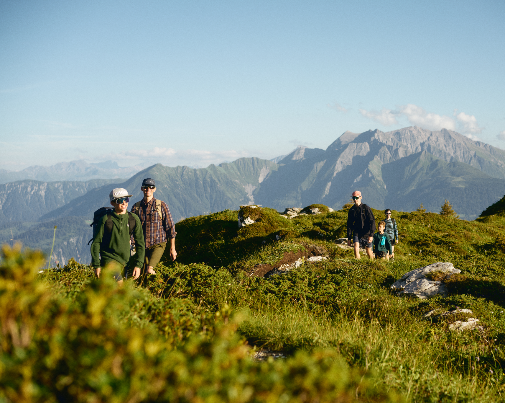
Hiking in and around the Sardona UNESCO World Heritage Site
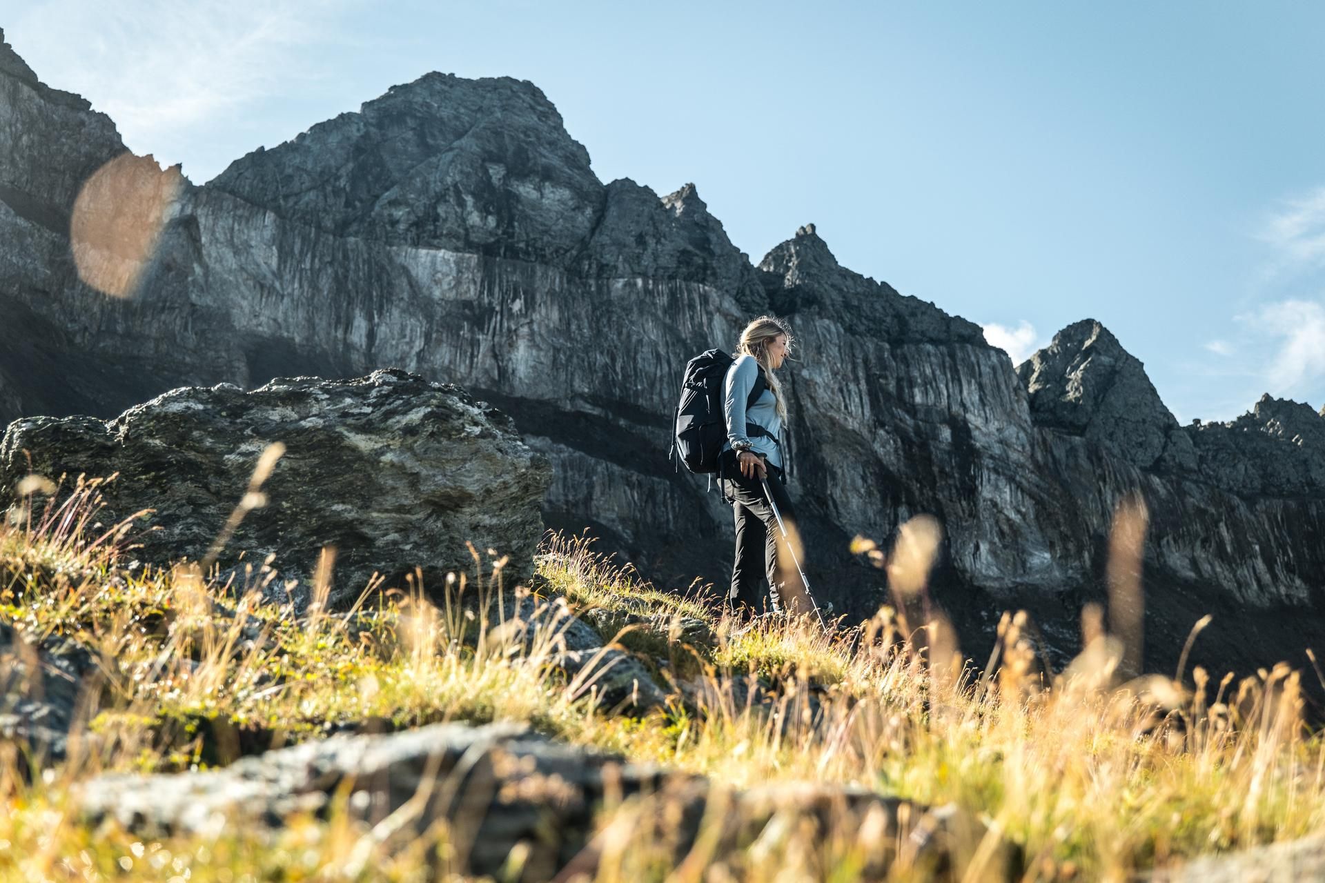
Hiking in the Swiss Tectonic Arena Sardona – Segnes Trek
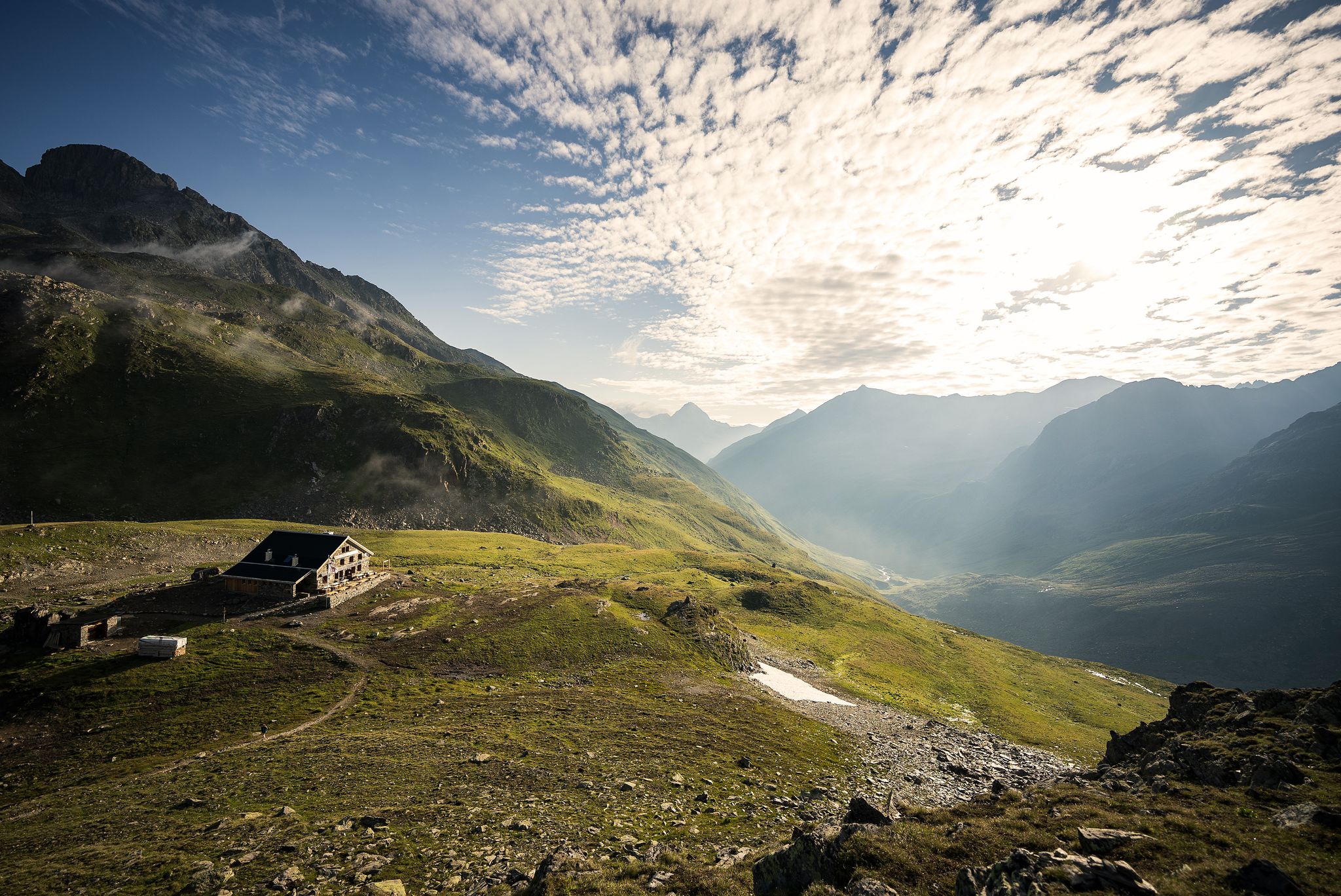
Hüttenzauber und Bergstille – Weitwandern in Graubünden
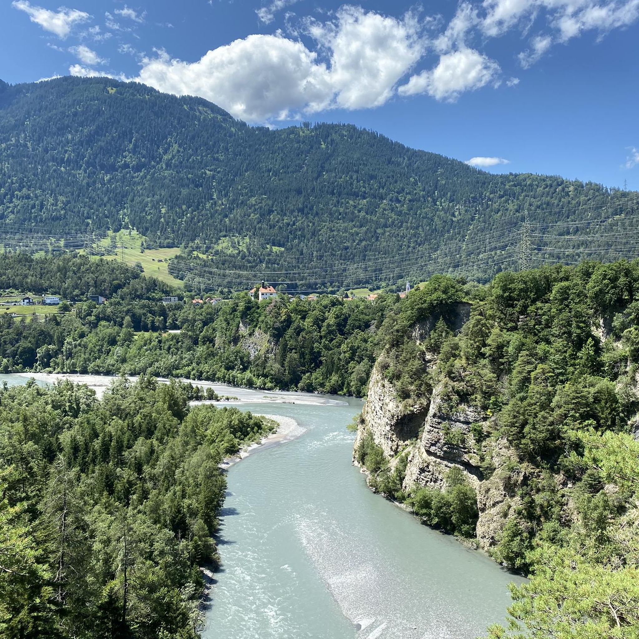
Cycling around Domat/Ems
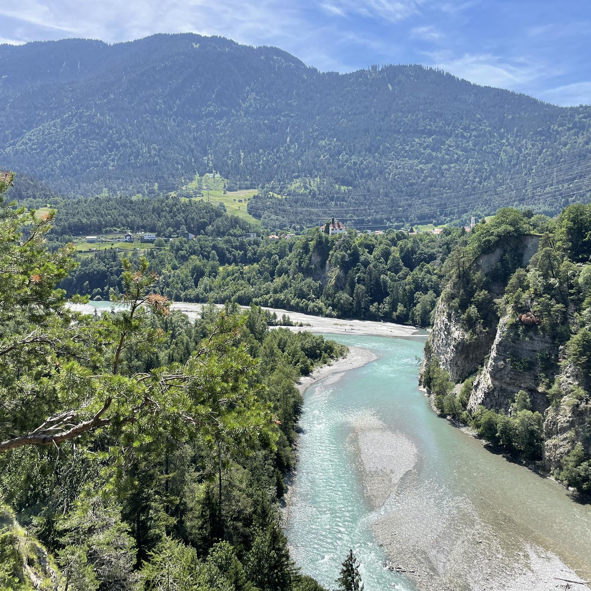
MTB Trails around Domat/Ems
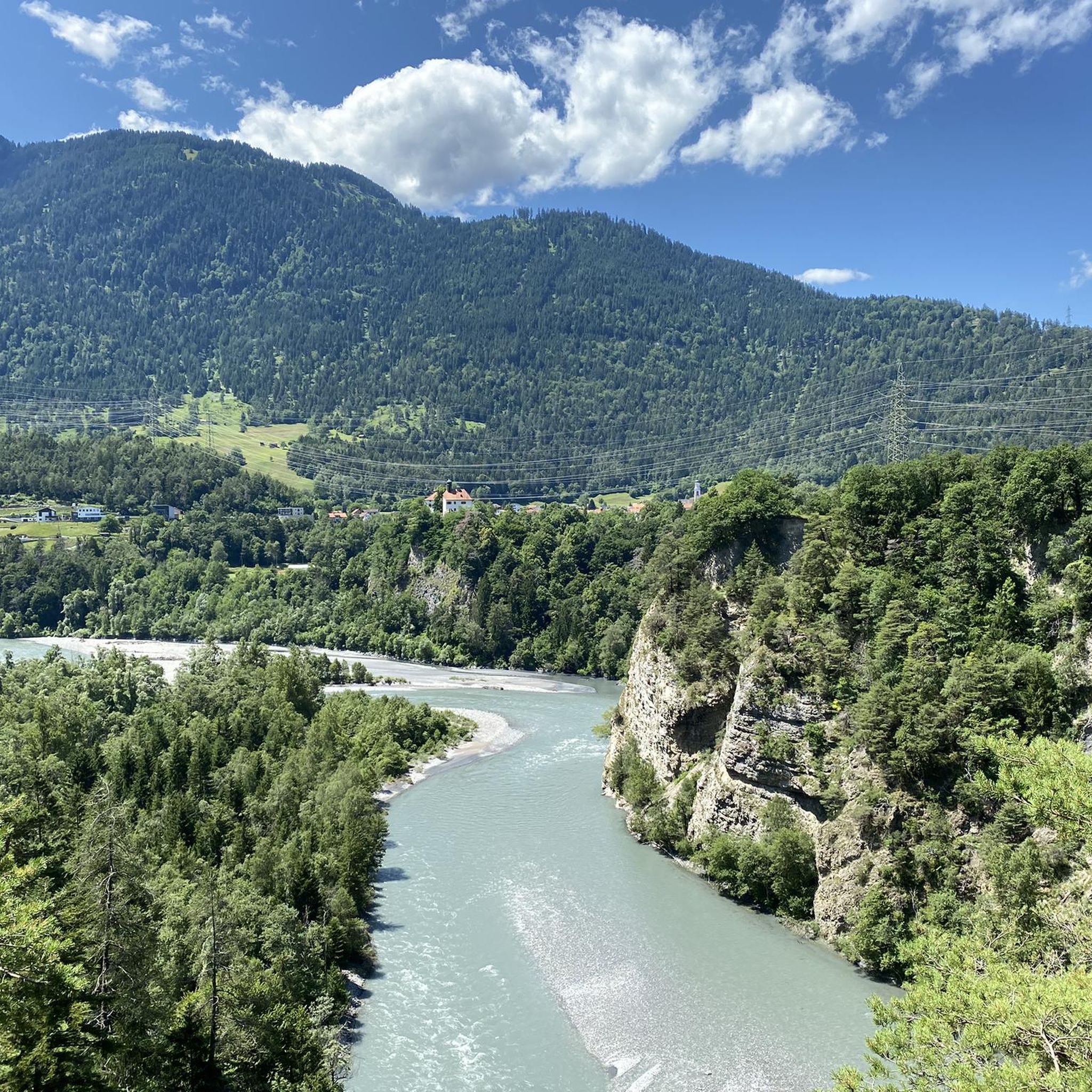
Hiking around Domat/Ems
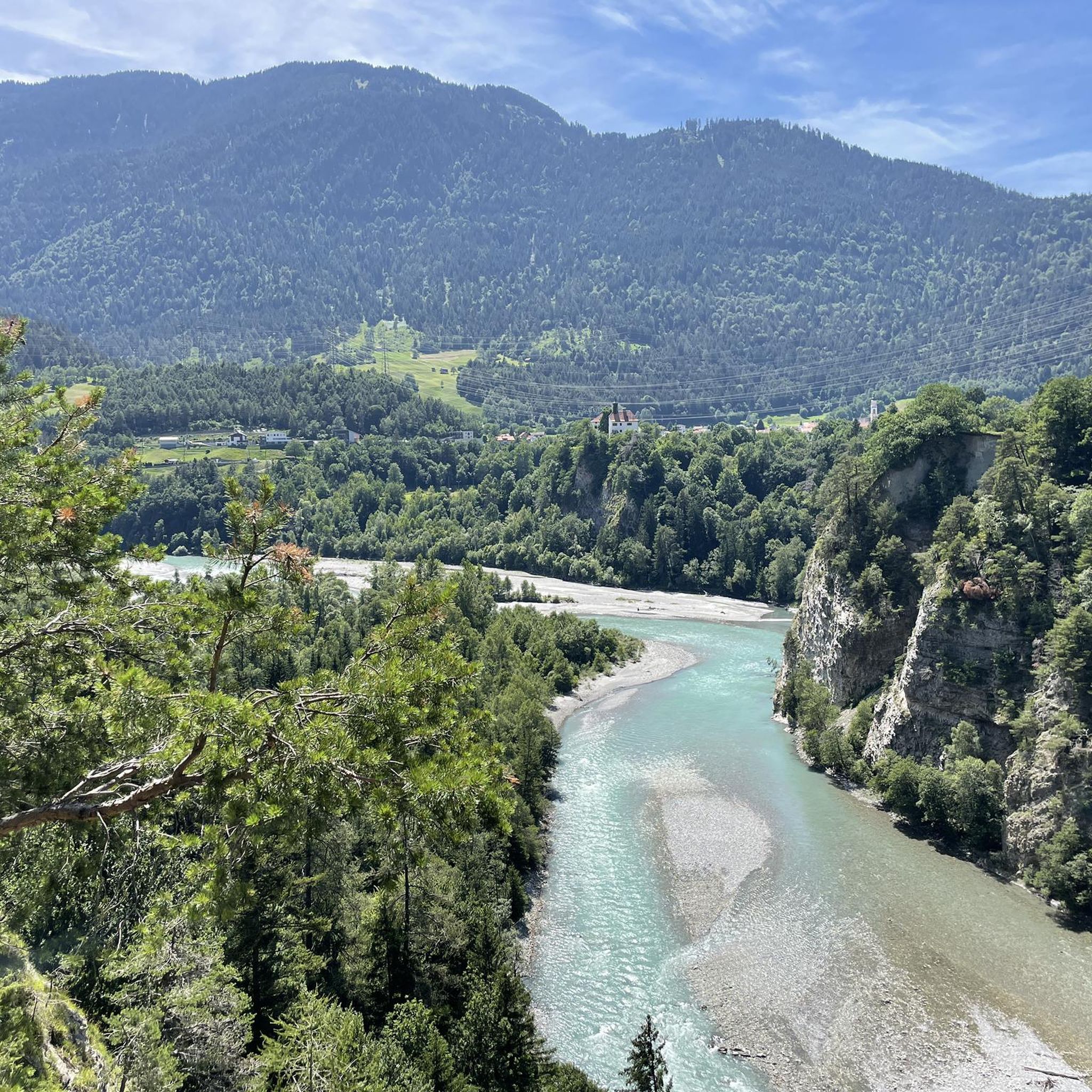
Running Trails around Domat/Ems

Gravel biking around Domat/Ems
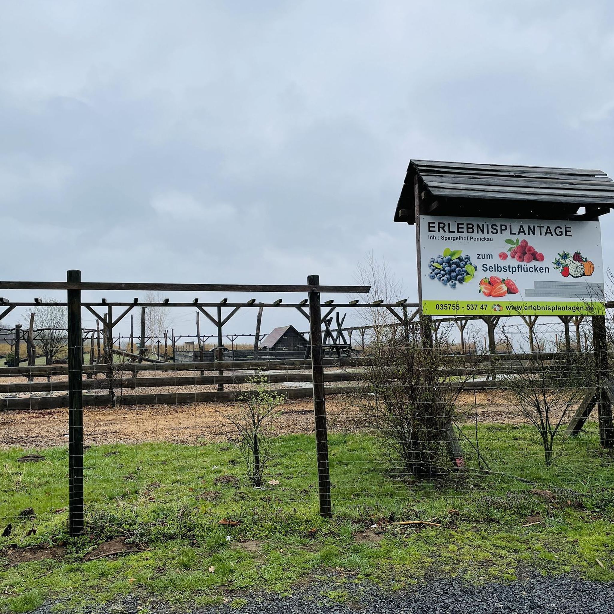
Mountain Hikes around Domat/Ems


Tips from the Community

fresh wind when looking at the river
0
0

easy to drive and scenically spectacular
0
0

Saints Anne and Joachim are considered the parents of the Mother of God, whose birth this church celebrates. They are thus the grandparents of Jesus, but are not mentioned by name in the biblical writings of the New Testament. An exact date, in the historical or scientific sense, is not known for the various stages in the life of the Mother of God. However, the Feast of the Nativity of the Mother of God—one of Mary's numerous honorary titles—is celebrated on September 8th in many Christian denominations (Catholic, Anglican, Orthodox, and Armenian).
0
1

A place of power in a special class
0
0

Disentis is the largest town in Surselva and NOT Ilanz.
1
0

Parish Church of the Nativity of Mary, Rhäzüns The present-day landscape of Rhäzüns is largely shaped by the Catholic parish church of Nossadunna, located in the center of the village. The church tower rises high above the rooftops and is a landmark visible from afar. Although consecrated in 1701, the Baroque sacred building did not become a parish church until 1777. The floor plan shows an octagonal central structure with two side niches and a polygonal choir loft extended to the north. The tower is inserted into the eastern choir shoulder, and the sacristy is located in the western one. The parish of Rhäzüns always celebrates the patronal feast of the parish church of the Nativity of Mary on the first Sunday in September. However, if September 8th falls on a Sunday, the Solemnity is celebrated on September 8th. Mass begins at 10:00 a.m. All churches are open daily from 8:00 a.m. to 7:00 p.m. (Automatic door closing) Text / Source: Catholic Parish of 7403 Rhäzüns https://www.kirchgemeinde-rhaezuens.ch/kirchen/
15
0
Ruinaulta Rhine Gorge The Ruinaulta, or Rhine Gorge, is a gorge of the Vorderrhein River, up to 400 meters deep and approximately 13 kilometers long, between Ilanz and the mouth of the Hinterrhein River near Reichenau in the canton of Graubünden in Switzerland. The Romansh name 'Ruinaulta' is composed of the two words ruina (scree slope, quarry) and aulta (high). The Ruinaulta was formed after the Flims Landslide almost 10,000 years ago. At that time, over 10 billion cubic meters of rock broke off between the Flimserstein and Piz Grisch, burying the Vorderrhein Valley between the present-day villages of Castrisch and Reichenau under a mass of debris several hundred meters thick. Because the Vorderrhein River could no longer drain away, a lake was dammed over a length of approximately 25 kilometers. Over time, the river cut deep into the landslide, and the resulting lake drained away completely. What remained was the Ruinaulta, with its steep limestone scree cliffs in impressive erosion formations. Text / Source: Wikipedia https://de.wikipedia.org/wiki/Ruinaulta
16
0
Confluence of the Vorderrhein and Hinterrhein, Reichenau Dominated by Reichenau Castle, the hamlet lies at the confluence of the Vorderrhein and Hinterrhein rivers, making it virtually the birthplace of the Rhine. It all began 10,000 years ago. Between the Flimserstein (a high plateau) and Piz Grisch, over 10,000 cubic meters of rock broke off and thundered down into the valley. Towards Reichenau, the Vorderrhein valley disappears under a gigantic mass of rubble. From there, the Rhine diligently ate its way through the rock, creating the spectacular Swiss "Grand Canyon" – the Ruinaulta. Text / Source: myswitzerland.com https://www.myswitzerland.com/de-ch/erlebnisse/route/vom-zusammenfluss-der-rheine-in-die-rheinschlucht/
16
0
Frequently Asked Questions
How many road cycling routes are available around Domat/Ems?
There are over 10 road cycling routes around Domat/Ems, offering a variety of experiences. These include routes ranging from moderate to difficult, catering to different fitness levels.
What kind of terrain can I expect on road cycling routes in Domat/Ems?
The road cycling routes in Domat/Ems are set within the wide Chur Rhine Valley, featuring diverse landscapes. You can expect grandiose Swiss alpine scenery, wooded hills, and high mountain ranges. The distinctive 'Tumas' hills, relics of past landslides, add a unique geological element to the lowlands, and the Rhine River flows through the region, providing opportunities for riverside routes.
Are there road cycling routes suitable for beginners in Domat/Ems?
Yes, Domat/Ems offers routes suitable for various ability levels. While many routes involve elevation gains, there are options that are less demanding. For instance, the region features easy to moderate rides on mostly paved surfaces, ideal for those new to road cycling or looking for a more relaxed experience.
Are there challenging road cycling routes for experienced cyclists in Domat/Ems?
Absolutely. For experienced cyclists seeking a challenge, Domat/Ems offers several difficult routes with significant elevation gains. An example is the Versam Curves – Valendas Wooden Fountain loop from Felsberg, which covers nearly 60 km with over 1000 meters of elevation gain. Another demanding option is the Chur-Coira (Switzerland) – Bündner Herrschaft vineyards loop from Domat/Ems, spanning over 85 km with similar elevation.
What natural features can I see along the road cycling routes?
The routes offer stunning natural features. You'll cycle through the picturesque Chur Rhine Valley, alongside the Rhine River, and past unique 'Tumas' hills. For those seeking higher altitudes, the Dreibündenstein Monument offers expansive vistas. You can also find serene spots like Lake Cresta, known for its crystal-clear water nestled between fir trees.
Are there any historical landmarks or points of interest along the routes?
Yes, several routes offer views of historical sites. For example, the View of Hohen Rätien Castle – Thusis loop from Felsberg provides views of Hohen Rätien Castle. The region is also part of Switzerland's Federal Inventory of Landscapes and Natural Monuments, highlighting its national importance.
Are there road cycling routes with good viewpoints in Domat/Ems?
Many routes in Domat/Ems offer excellent viewpoints. You can find loops with views of the Rhine Gorge, and higher altitude points like the Dreibündenstein Monument provide panoramic vistas. For specific highlights, consider visiting Churer Joch or the Panoramic view of Lake Cauma.
Can I find circular road cycling routes in Domat/Ems?
Yes, many of the road cycling routes around Domat/Ems are designed as loops, allowing you to start and end in the same location. Examples include the Chur-Coira (Switzerland) – Bündner Herrschaft vineyards loop from Felsberg and the View of Hohen Rätien Castle – View over the Rhine Gorge loop from Felsberg.
Is public transport accessible for reaching road cycling routes in Domat/Ems?
Domat/Ems is well-connected within the Chur Rhine Valley, making it accessible by public transport. You can often reach starting points of routes via local train or bus services, allowing for flexible planning of your cycling trips.
Are there parking options available near the road cycling routes?
Yes, Domat/Ems and surrounding towns typically offer parking facilities. Many routes start from central locations or trailheads where parking is available, making it convenient for those traveling by car to access the cycling paths.
What do other road cyclists appreciate about the routes in Domat/Ems?
The road cycling routes in Domat/Ems are highly rated by the komoot community, with an average score of 4.6 stars from over 100 reviews. Cyclists often praise the varied terrain, from the wide valley to challenging ascents, and the stunning Swiss alpine scenery, including views of the Rhine River and historical landmarks.
What is the best time of year for road cycling in Domat/Ems?
The region is generally suitable for road cycling during the warmer months, typically from spring through autumn. During these seasons, the weather is more favorable, and the routes are clear of snow, allowing for optimal enjoyment of the diverse landscapes and natural features.
Most popular routes around Domat/Ems
Most popular attractions around Domat/Ems

Get inspired with the komoot mobile app


Explore more
Browse the best Road cycling routes in other regions.
