The best mountain hikes around Domat/Ems
5.0
(23)
266
hikers
6
hikes
Mountaineering routes Domat/Ems are situated at the beginning of the wide Chur Rhine Valley, offering access to diverse alpine environments. The region is characterized by the dramatic Rhine Gorge, unique "Tumas" hills formed from ancient landslides, and a backdrop of impressive peaks like Dreibündenstein and Weisshorn. This landscape provides a blend of accessible trails and more challenging alpine terrain, making it a strategic base for exploring the broader Graubünden region.
Best mountaineering routes around Domat/Ems
- The most popular mountaineering route…
Last updated: July 7, 2026
4.9
(20)
208
hikers
9.23km
05:53
890m
890m
Hard mountaineering route. Very good fitness required. Sure-footedness, sturdy shoes and alpine experience required.
5.0
(2)
20
hikers
11.1km
04:53
1,020m
1,020m
Hard mountaineering route. Very good fitness required. Easily-accessible paths. Suitable for all skill levels.

Sign up for free
23
hikers
12.9km
06:56
1,020m
1,020m
Hard mountaineering route. Very good fitness required. Sure-footedness, sturdy shoes and alpine experience required.
5.0
(1)
10
hikers
17.7km
06:50
1,240m
1,240m
Hard mountaineering route. Very good fitness required. Sure-footedness, sturdy shoes and alpine experience required.
5
hikers
8.27km
03:42
610m
610m
Hard mountaineering route. Good fitness required. Sure-footedness, sturdy shoes and alpine experience required.
Our route recommendations are based on thousands of hikes, rides, and runs completed by other people on komoot.
Start today with a free account
Your next adventure awaits.
Login or Signup
Popular around Domat/Ems
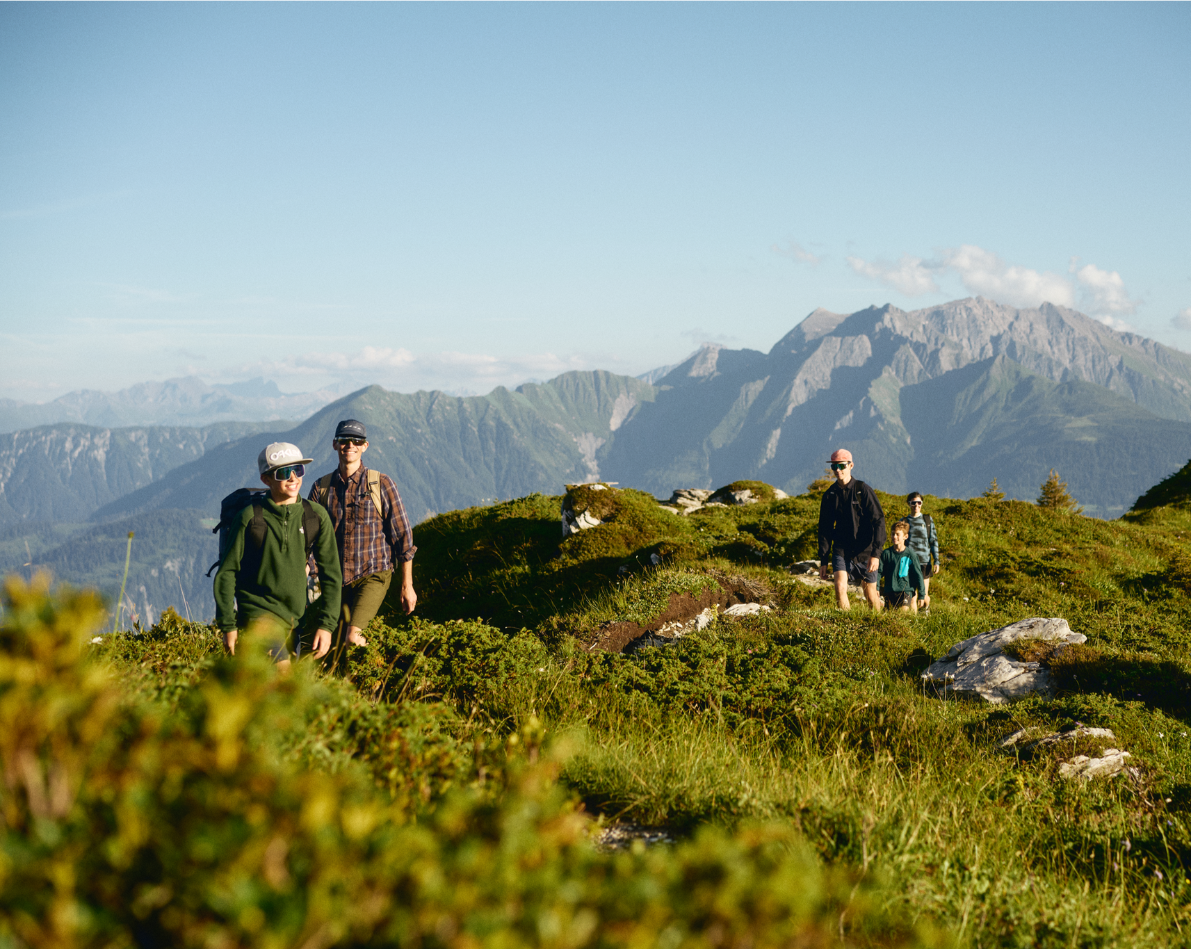
Hiking in and around the Sardona UNESCO World Heritage Site
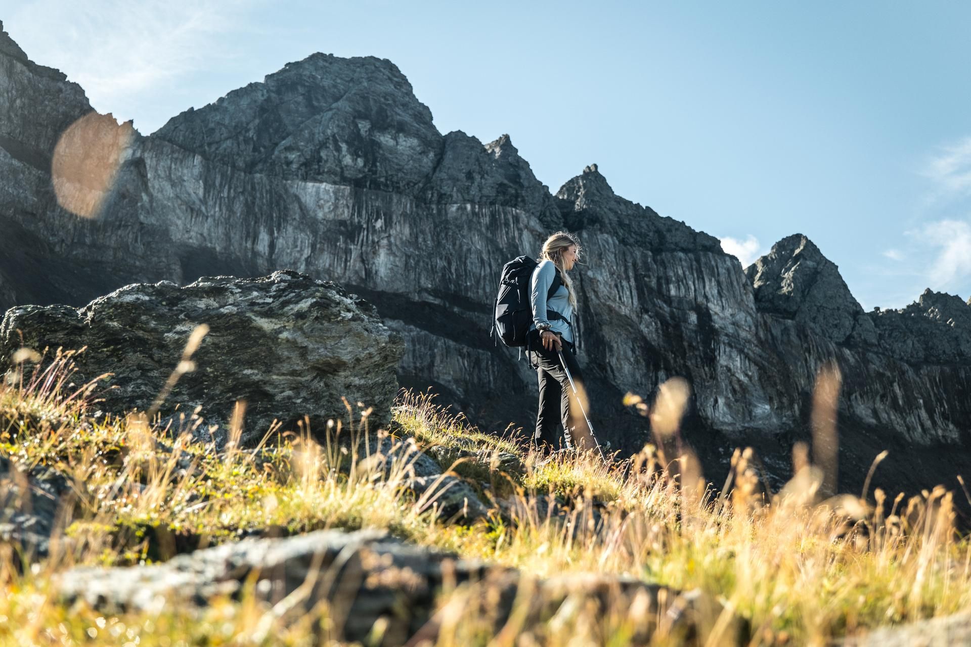
Hiking in the Swiss Tectonic Arena Sardona – Segnes Trek
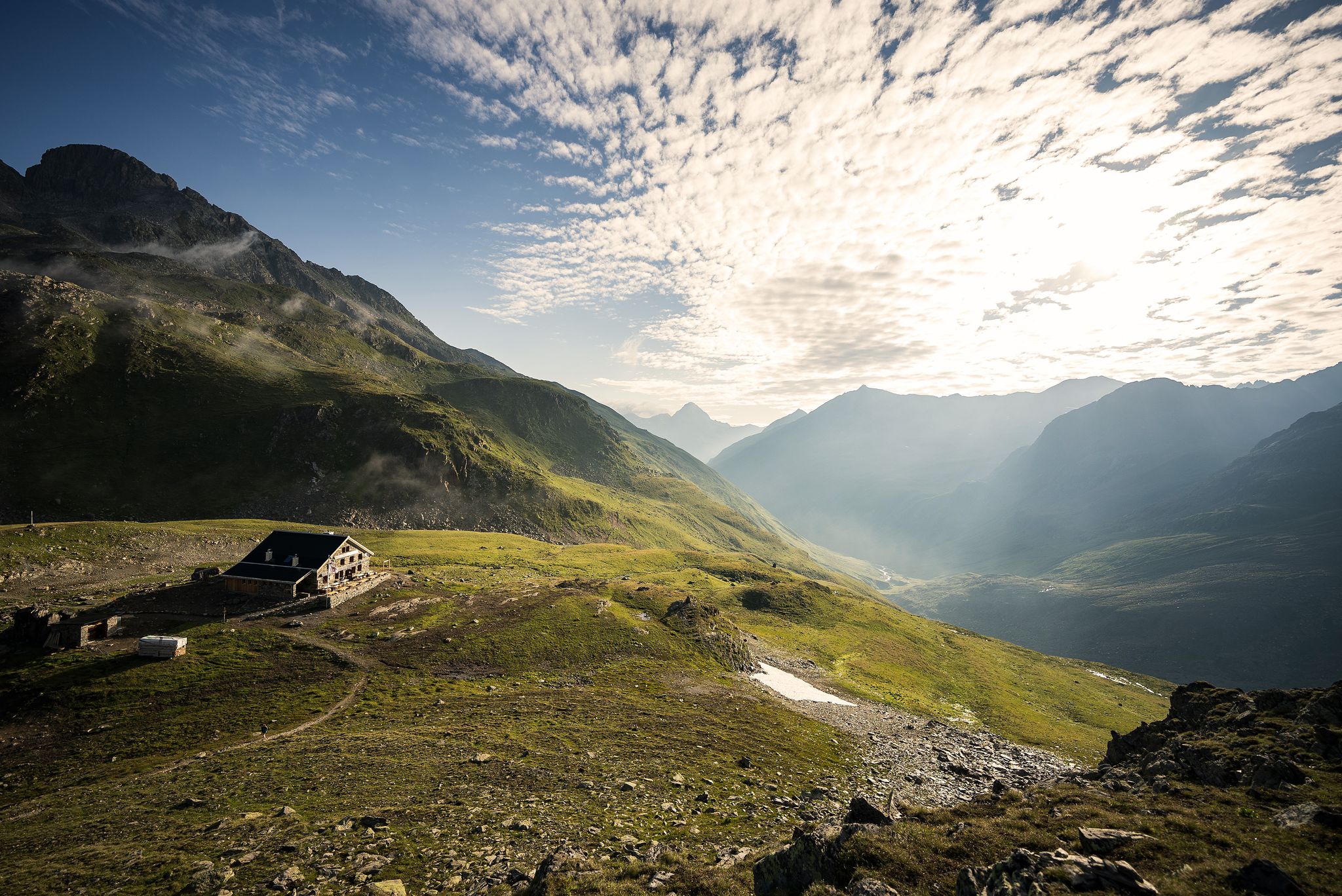
Hüttenzauber und Bergstille – Weitwandern in Graubünden
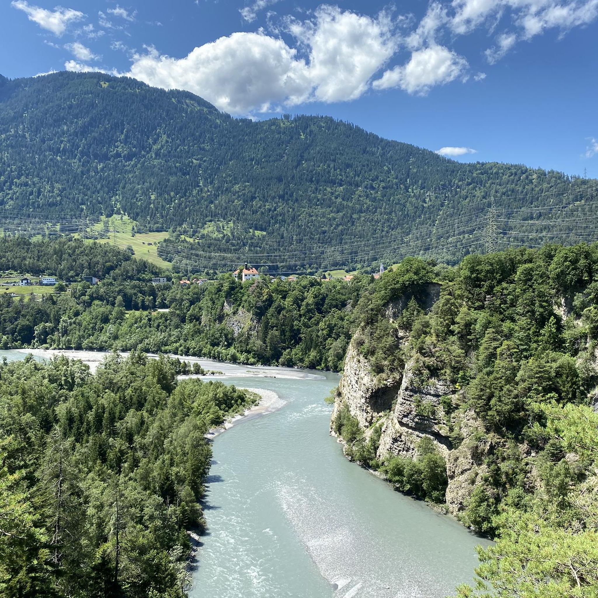
Cycling around Domat/Ems
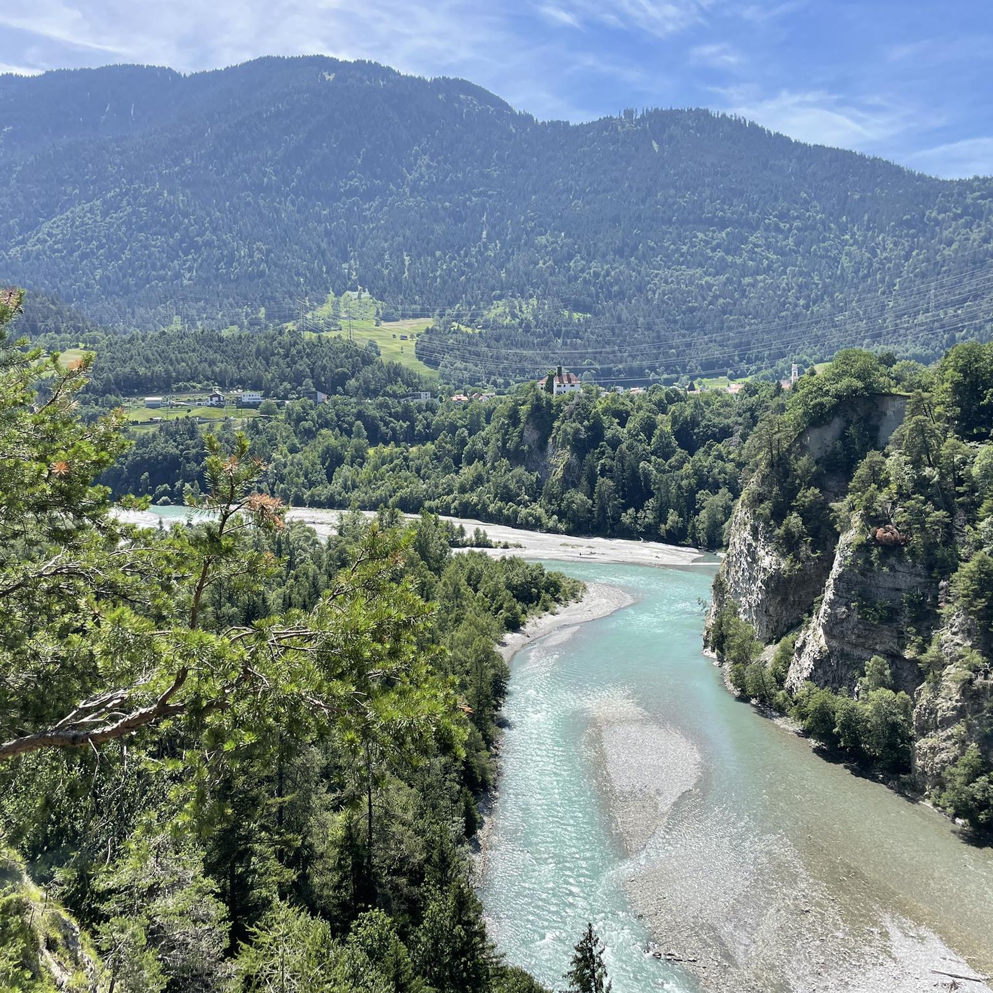
MTB Trails around Domat/Ems
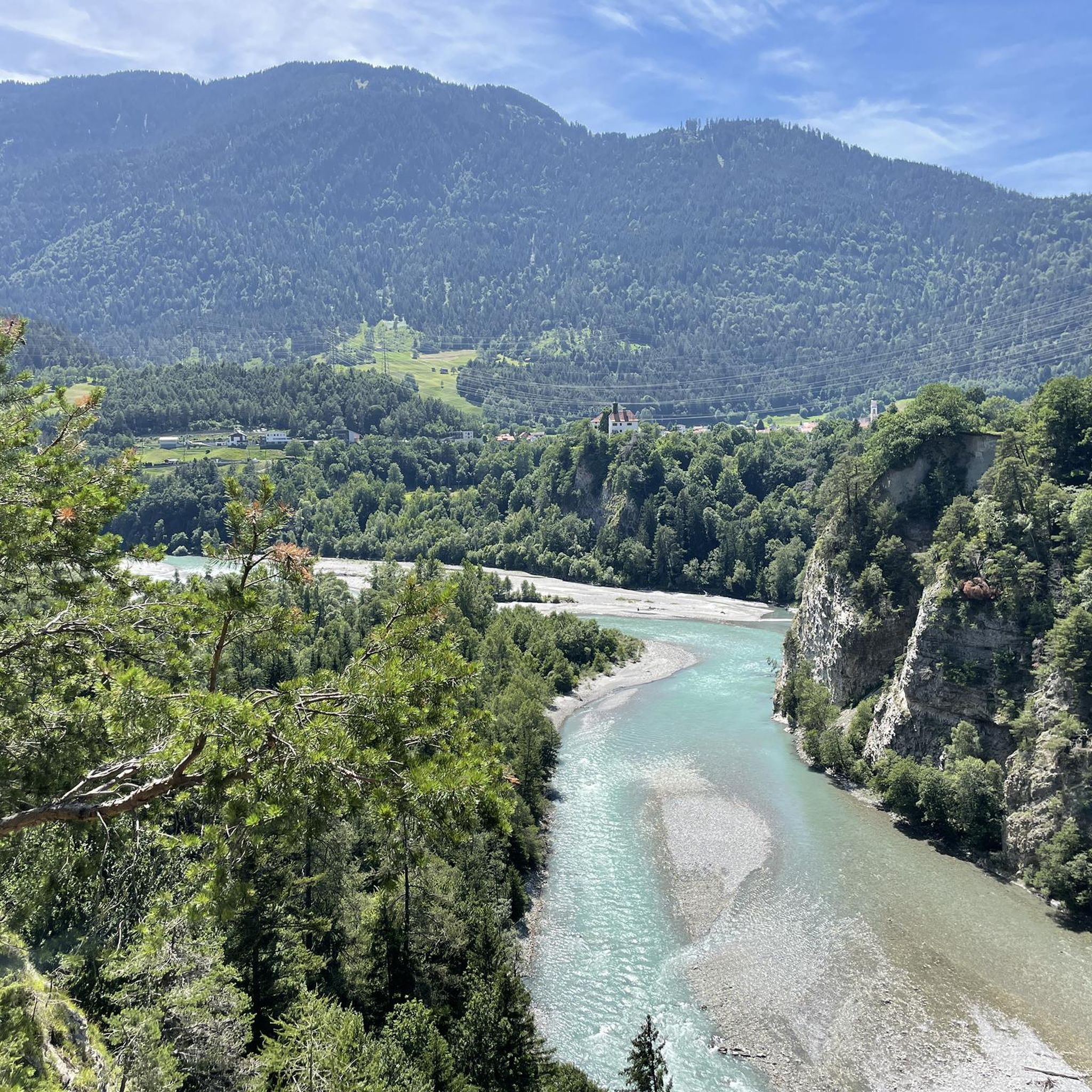
Road Cycling Routes around Domat/Ems
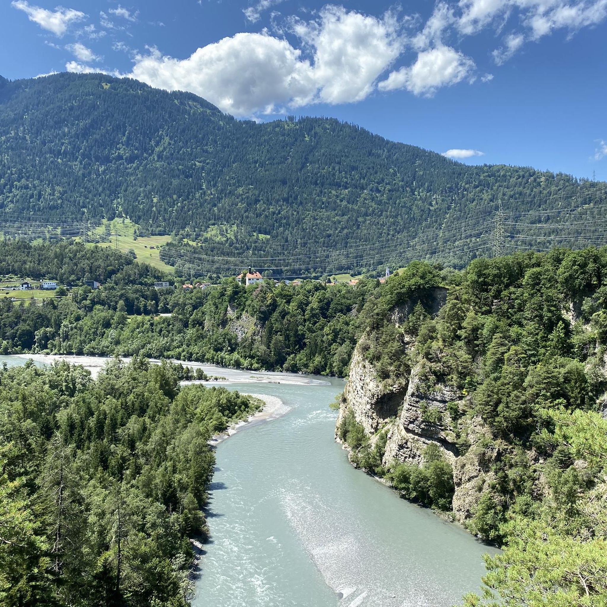
Hiking around Domat/Ems
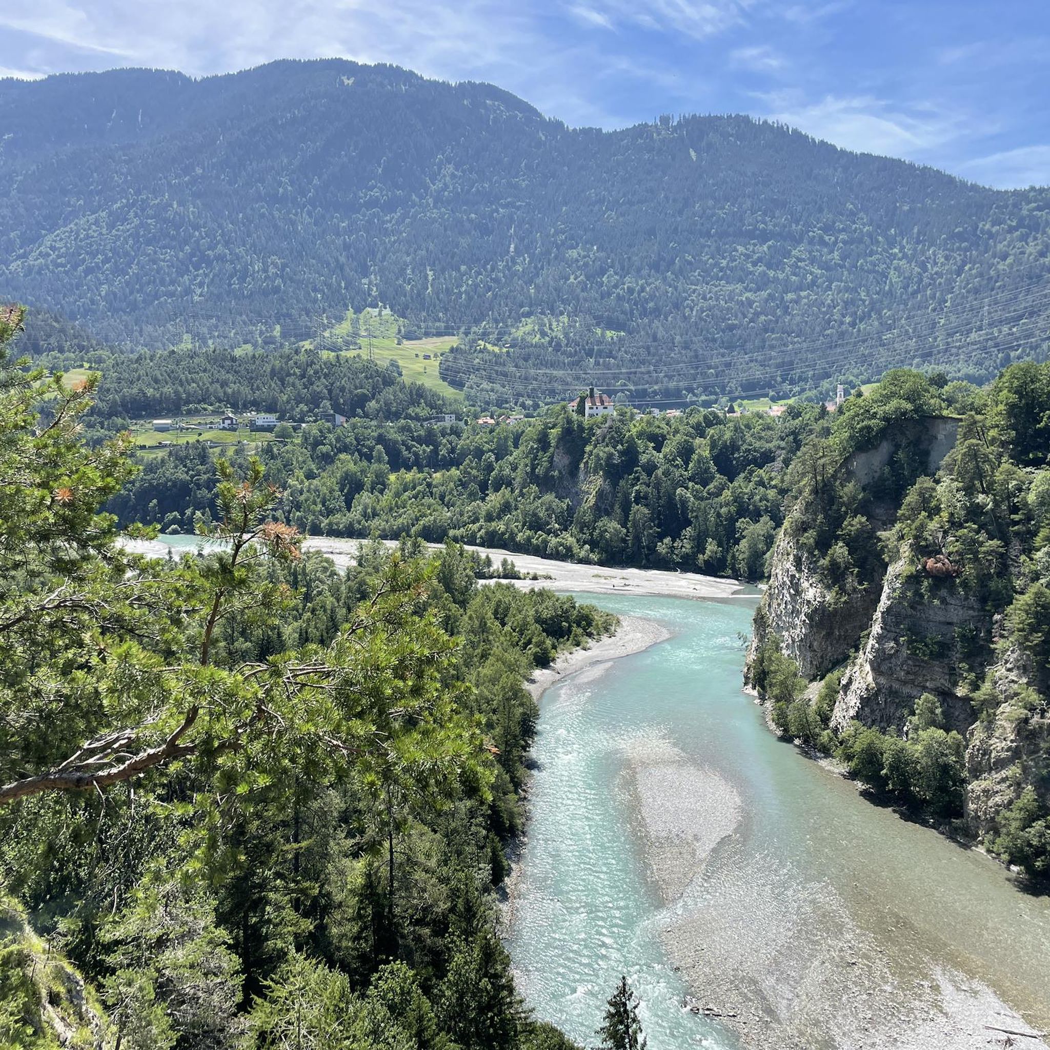
Running Trails around Domat/Ems

Gravel biking around Domat/Ems


Tips from the Community

Lake in front of the Tenner Kreuz
0
0


Fantastic geological phenomenon. After a long dry spell, the water is a bit greasy from the sun cream used by the bathers. ;-)
1
1

From this very challenging "staircase" you have a wonderful view over the Bargis high valley.
0
0
The walk from Trin Dorf up through the forest feels very long, difficult and boring, but once on the Alp it is beautiful with beautiful views. Definitely worth it. You can also get there from the Bargis high valley, which I think is a nicer walk.
0
0
Constructed (very old) "stairs" along the mountain steeply up or down. Challenging section with beautiful views over the valley.
0
0

Here you can discover a once secret facility. The fortress with bunkers and rock caverns offers a glimpse into the time around the Second World War.
0
0

Sunrise on the Calanda
0
0
Frequently Asked Questions
What kind of terrain can I expect on mountaineering routes around Domat/Ems?
The mountaineering routes around Domat/Ems offer a diverse and challenging alpine environment. You can expect dramatic landscapes, including the spectacular Rhine Gorge with its towering white cliffs, unique 'Tumas' hills formed from ancient landslides, and impressive peaks like Dreibündenstein and Weisshorn. The routes often involve significant elevation changes and rocky, exposed sections, typical of high alpine terrain.
Are there any easier mountaineering routes for beginners in the Domat/Ems area?
While Domat/Ems is primarily known for its challenging mountaineering routes, there is one moderate route available: Pinut Via Ferrata Entry – Via ferrata Pinut loop from Burgruine Belmont. This route includes a historic via ferrata, offering a unique climbing experience that is less technically demanding than some of the other difficult ascents in the region. Most other routes are rated as difficult.
What are some notable natural features or landmarks I can see along the mountaineering routes?
The region is rich in natural beauty and significant landmarks. You can experience the breathtaking views of the Rhine Gorge from platforms like Il Spir Viewing Platform. The historic Dreibündenstein Monument, located at 2,156 meters, is another significant point offering panoramic views. Additionally, you might encounter serene alpine lakes such as Cresta Lake or Lake Cauma near some routes.
Are there any circular mountaineering routes around Domat/Ems?
Yes, several mountaineering routes in the area are designed as loops, allowing you to start and end at the same point. Examples include the challenging Bös Fess Summit loop from Tenna, which leads to a summit with panoramic views, and the Calanda Hut – Calanda Summit loop from Hintere Alp, taking you through high alpine terrain.
What is the best time of year for mountaineering in Domat/Ems?
The best time for mountaineering in the Domat/Ems region, given its alpine character, is typically during the late spring, summer, and early autumn months (roughly June to October). During this period, snow has usually melted from higher elevations, and weather conditions are generally more stable, making routes safer and more accessible. Always check local weather and trail conditions before heading out.
Are there any mountaineering routes around Domat/Ems that can be completed in approximately 5 hours?
Yes, if you're looking for a mountaineering route that can be completed in around 5 hours, consider the Pinut Via Ferrata Entry – Via ferrata Pinut loop from Burgruine Belmont. This route is approximately 9.3 km long and typically takes about 5 hours and 53 minutes, offering a challenging yet rewarding experience within that timeframe.
Are the mountaineering routes around Domat/Ems suitable for families or dogs?
The mountaineering routes around Domat/Ems are generally rated as difficult and involve significant elevation and exposure, making them less suitable for families with young children or most dogs. While the broader Domat/Ems region offers easier hiking and Nordic walking trails, these specific mountaineering routes are primarily for experienced individuals. If bringing a dog, ensure it is accustomed to strenuous alpine conditions and that the specific route allows dogs.
Where can I find places to rest or eat along the mountaineering routes?
Along or near some of the mountaineering routes, you can find various huts and mountain inns. Options include June Hut, Alp Fops, and Mountain inn Parsiras. These provide opportunities for refreshments or a longer break during your tour. The Skihütte Term Bel (Emser Skihütte) is also a popular spot.
How many mountaineering routes are available in the Domat/Ems area?
There are a total of 6 mountaineering routes available around Domat/Ems, offering a range of challenging experiences for outdoor enthusiasts. Most of these routes are rated as difficult, catering to experienced mountaineers.
What do other mountaineers say about the routes in Domat/Ems?
The mountaineering routes in Domat/Ems are highly regarded by the komoot community, with an average rating of 5.0 stars from over 20 reviews. Mountaineers often praise the dramatic scenery, the challenging nature of the ascents, and the rewarding panoramic views from the summits. The unique experience of routes like the Pinut Via Ferrata is also frequently highlighted.
Are there any particularly challenging mountaineering routes for experienced climbers?
For experienced mountaineers seeking a significant challenge, routes like the Alp Mora loop from Trin offer a demanding experience. This route covers over 16 km with substantial elevation gain, leading through rugged alpine landscapes. Another option is the Tenner Kreuz – Schlüechtli loop from Tenna, which is also rated as difficult and provides a strenuous ascent.
Most popular routes around Domat/Ems
Most popular attractions around Domat/Ems

Get inspired with the komoot mobile app


Explore more
Browse the best Mountain Hikes & Routes in other regions.
