The best mountain hikes around Hürtgenwald
4.2
(17)
31
hikers
12
hikes
Mountaineering routes around Hürtgenwald traverse a landscape characterized by dense forests, rolling hills, and plunging valleys. Situated at the northern edge of the Eifel mountains, this region offers challenging trails with significant elevation changes. The terrain features broad plateaus carved by deep, thickly wooded valleys, providing a diverse environment for exploration. Reservoirs like the Wehebachtalsperre and the Rur River are prominent natural features integrated into many routes.
Best mountaineering routes around Hürtgenwald
- The most popular mountaineering route is Small Waterfall…
Last updated: July 1, 2026
9.69km
02:36
110m
110m
Moderate mountaineering route. Good fitness required. Easily-accessible paths. Suitable for all skill levels.
3.0
(1)
2
hikers
4.16km
01:13
110m
110m
Easy mountaineering route. Great for any fitness level. Easily-accessible paths. Suitable for all skill levels.

Sign up for free
4.0
(1)
2
hikers
15.7km
04:31
370m
370m
Moderate mountaineering route. Good fitness required. Easily-accessible paths. Suitable for all skill levels.
5.0
(1)
8
hikers
Hard mountaineering route. Very good fitness required. Easily-accessible paths. Suitable for all skill levels.
4.7
(14)
18
hikers
19.8km
05:58
610m
610m
Hard mountaineering route. Very good fitness required. Easily-accessible paths. Suitable for all skill levels.
Get access to more routes and recommendations from other explorers.
Sign up for free
Already have an account?
Our route recommendations are based on thousands of hikes, rides, and runs completed by other people on komoot.
Start today with a free account
Your next adventure awaits.
Login or Signup
Popular around Hürtgenwald
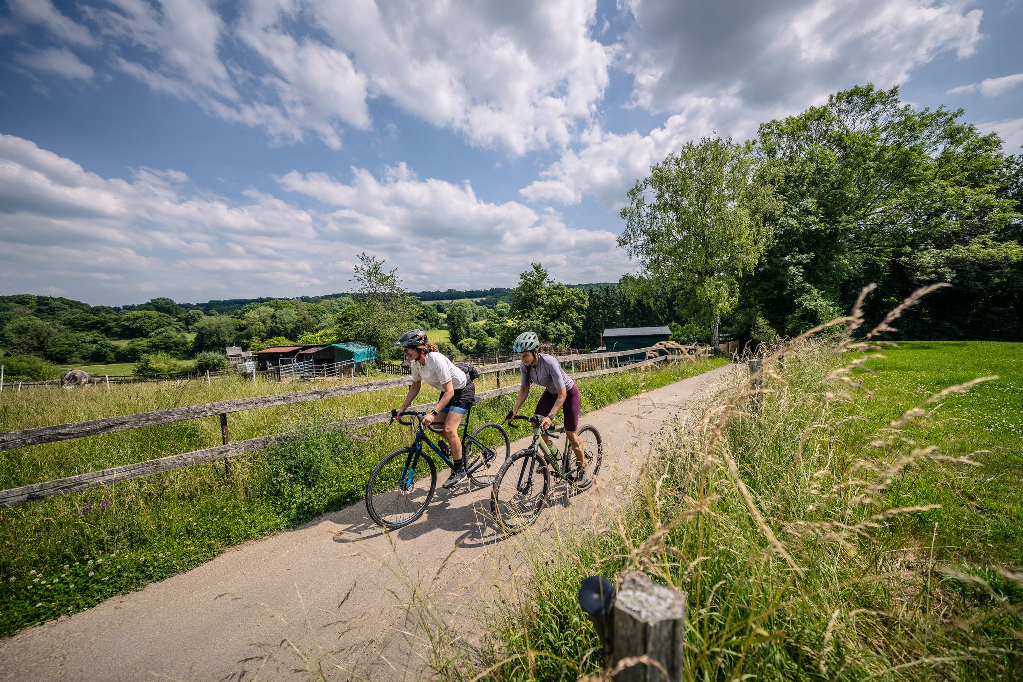
Gravel at its finest – rides around Aachen
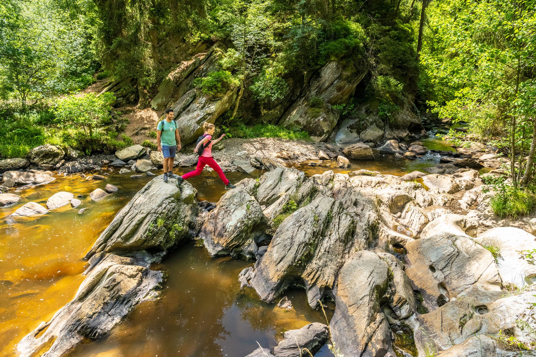
The Eifelsteig's 8 partner trails in Aachen region
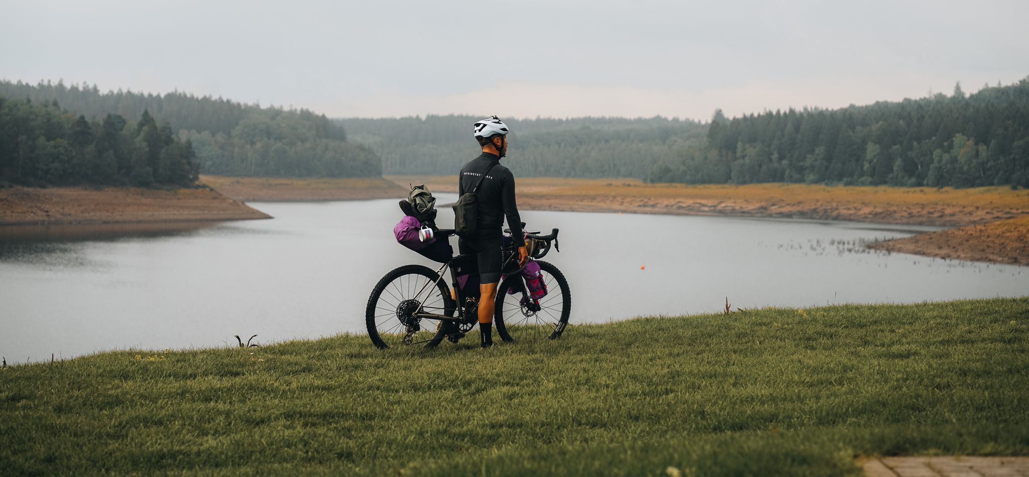
Bikepacking through the Eifel – The Reservoir Loop

Volcanoes, water, forest – the partner trails of the Eifelsteig
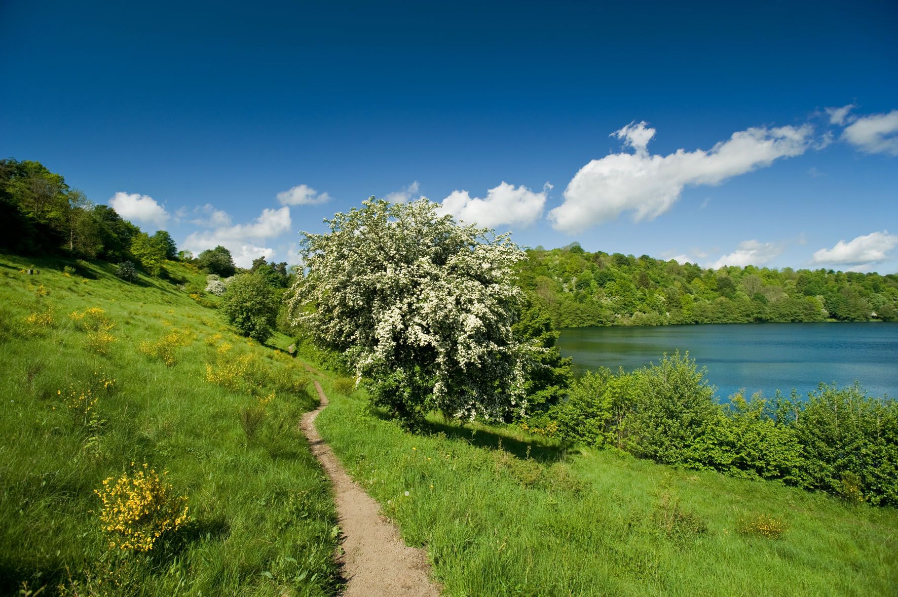
A long trail weekend in the Northern Eifel
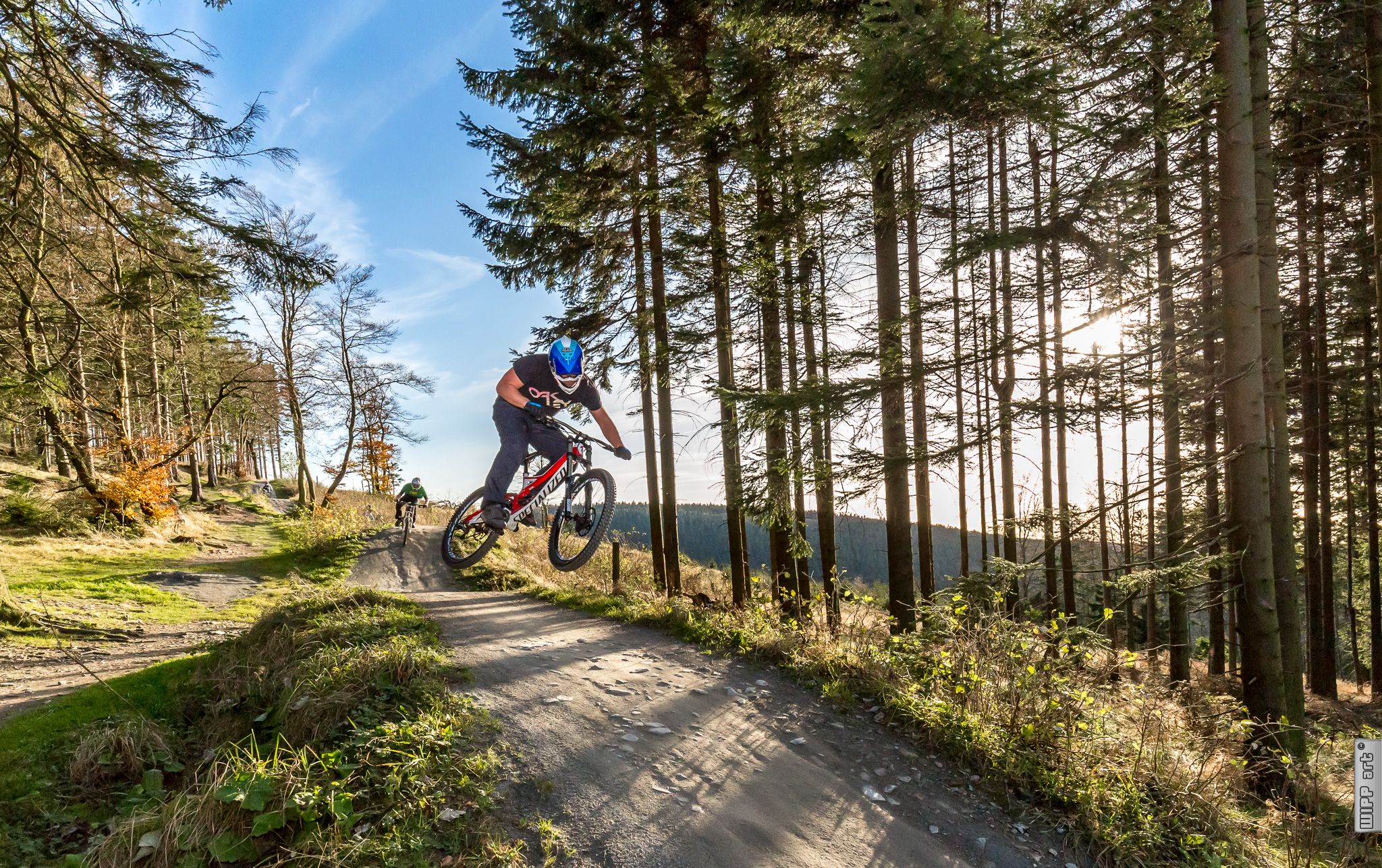
Bike parks in Western Germany
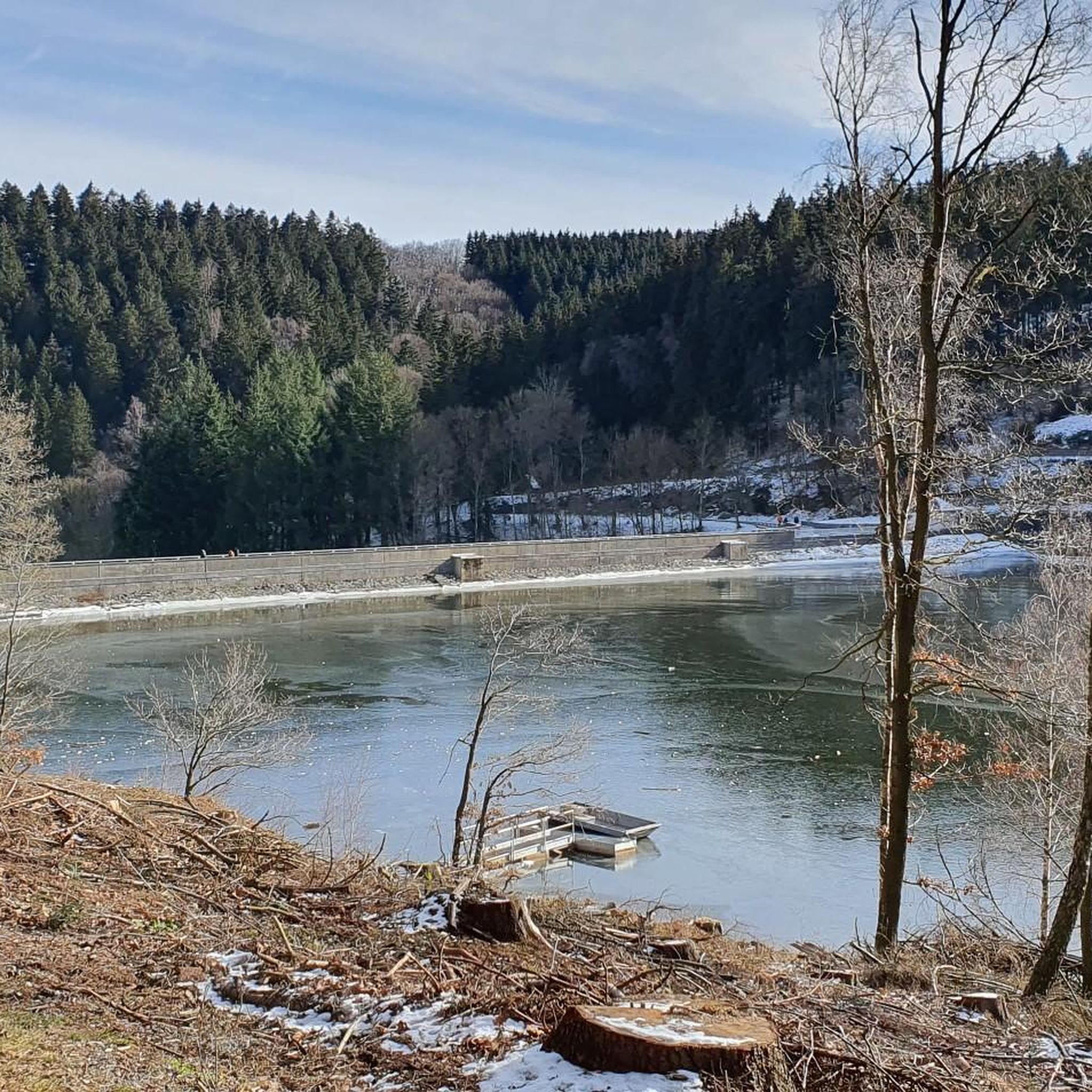
Hiking around Hürtgenwald
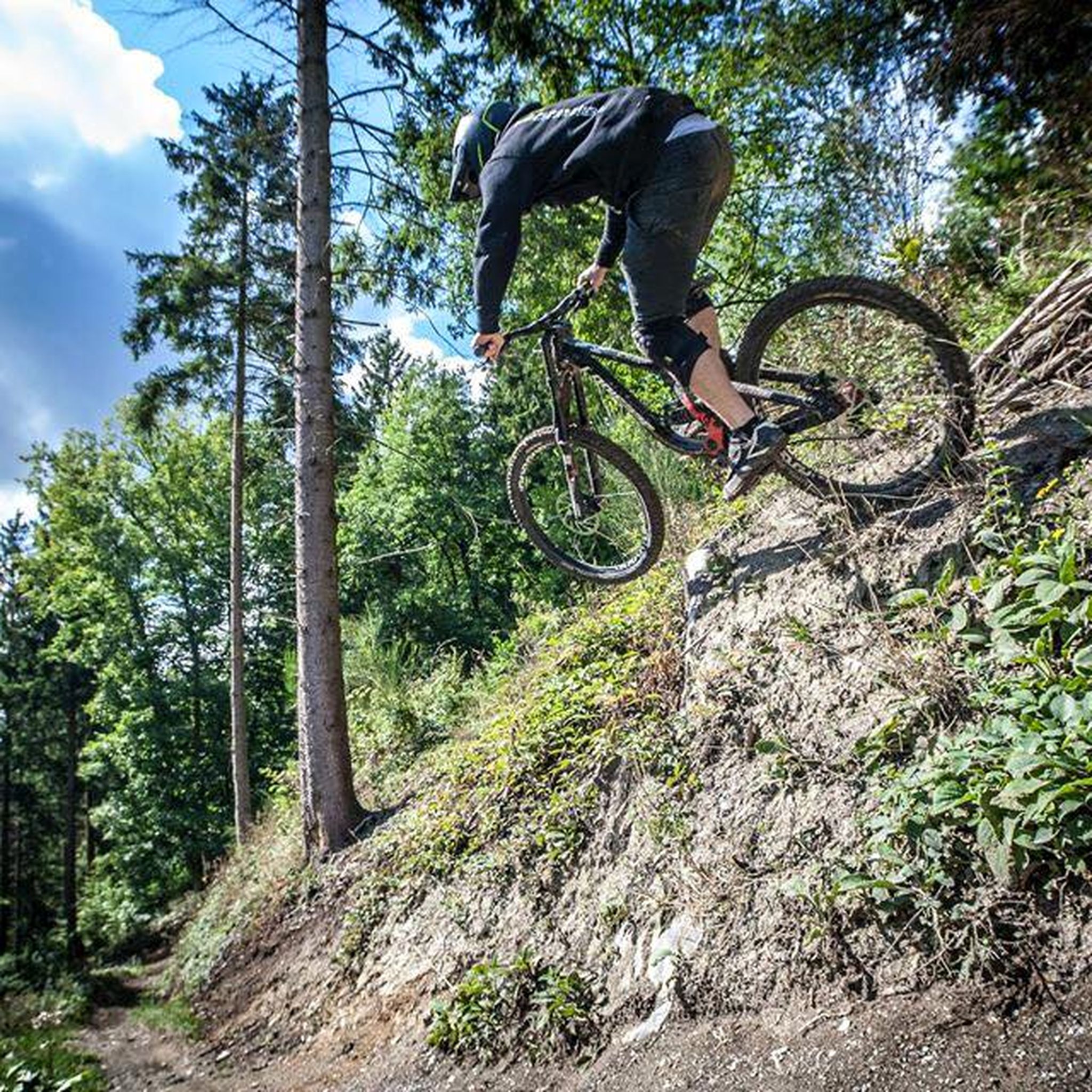
MTB Trails around Hürtgenwald
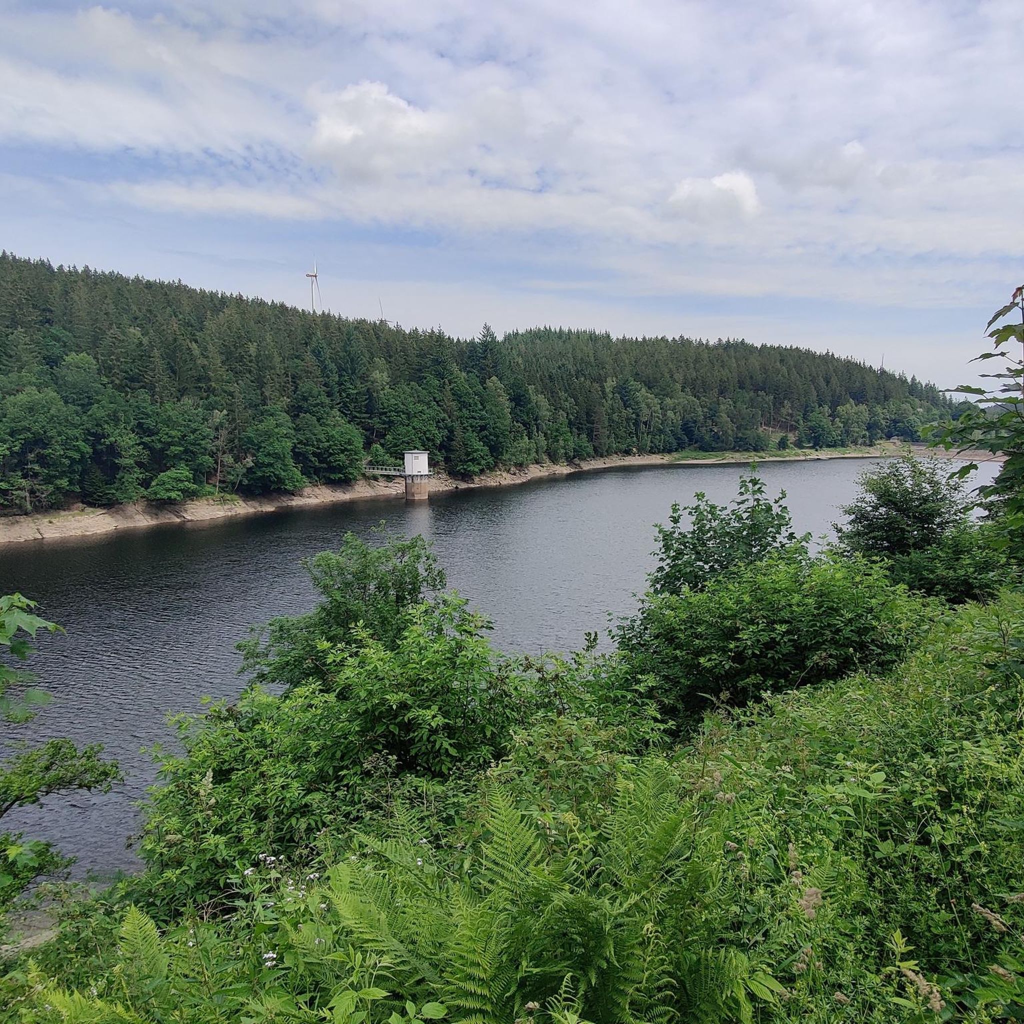
Running Trails around Hürtgenwald
Road Cycling Routes around Hürtgenwald
Other adventures around Hürtgenwald


Tips from the Community

Hi 👋😊 This highlight is located in the Eifel National Park. To protect sensitive species, there are special rules here: Stay on official paths, keep dogs on a leash, take your trash back with you, and cycle/MTB only on designated paths. Smoking and fires are taboo – wildfire risk🔥! Thanks for your understanding! 💚 Further information can be found at www.nationalpark-eifel.de. We wish you a great time in the emerging wilderness!
1
0

Perhaps the most beautiful border crossing BE-DE there is.
0
0
Twisty pasture path near the upper Weser. Still with beautiful wide views over the meadows..
2
0

According to local tradition, an old legend explains the origin of the Teufelsley (Devil's Rock). The devil was said to have been enraged because a monastery was to be built in the region. In his anger, he dislodged a massive boulder from the heights to destroy the structure. However, as he approached with the stone, an angel intervened, thwarting the devil's plan and stopping his attack. The rock brought by the devil then remained in its present location and has been called Teufelsley ever since.
45
0

Directly at the power plant and parking lot.
0
0

Super nice route and hiking trail
0
0
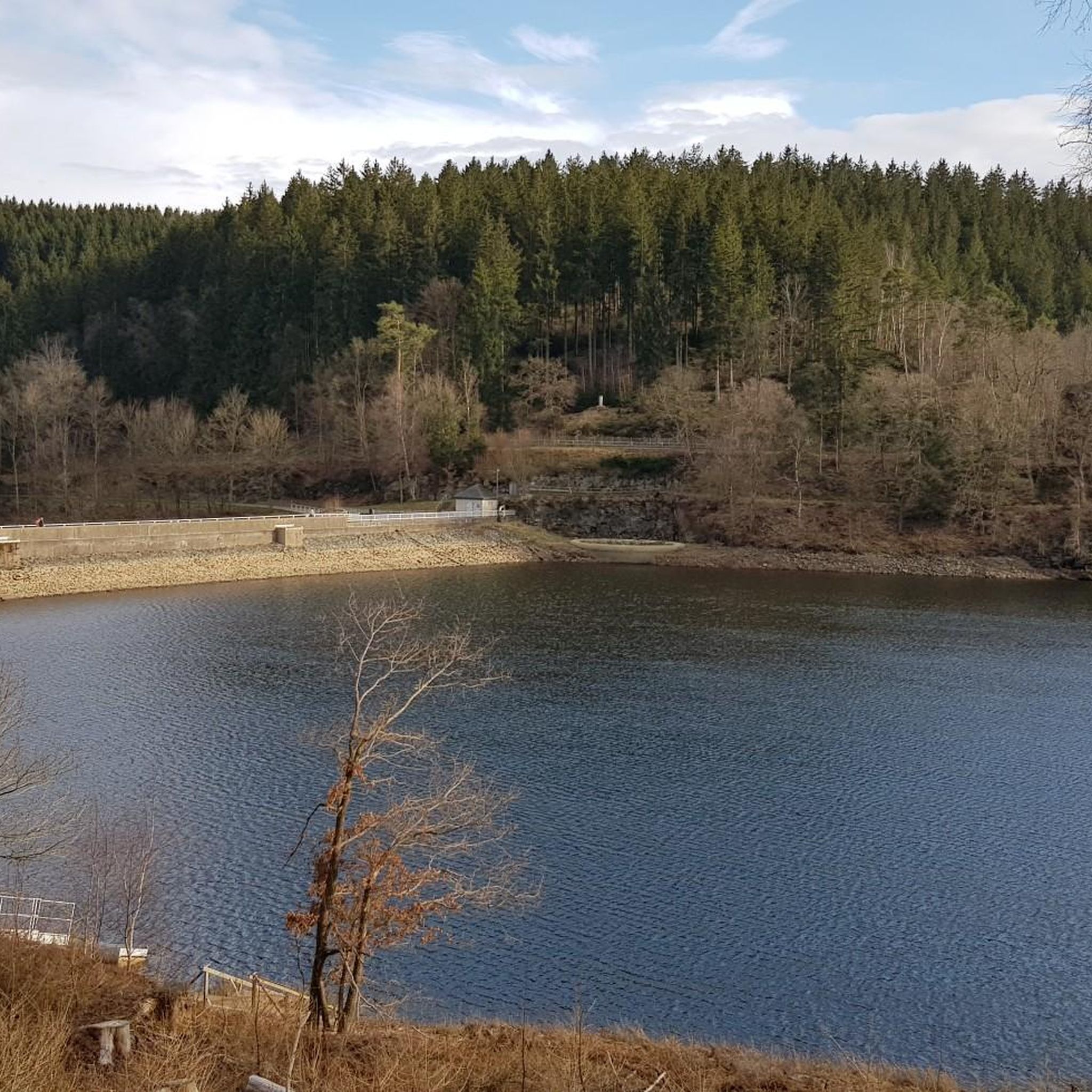
During dry periods it is not much.
4
0

Simply beautiful to linger :)
0
0
Frequently Asked Questions
How many mountaineering routes are available in Hürtgenwald?
Hürtgenwald offers a selection of 13 mountaineering routes, catering to various fitness levels. You'll find 2 easy routes, 9 moderate routes, and 2 more challenging options.
What kind of terrain can I expect on mountaineering routes in Hürtgenwald?
The terrain in Hürtgenwald is characterized by dense forests, rolling hills, and plunging valleys. You'll encounter broad plateaus carved by deep, thickly wooded valleys, offering a diverse and engaging environment. Many routes follow picturesque riverside paths along the Kall and Rur rivers, or offer stunning views of reservoirs like the Wehebachtalsperre.
Are there any easy mountaineering routes suitable for beginners or those seeking a shorter walk?
Yes, there are a couple of easy routes. For a pleasant, shorter experience, consider the Heimbach Reservoir loop from Rur Dam. This route is about 4.1 km long and features gentle elevation changes, making it ideal for a relaxed outing.
What are some challenging mountaineering routes in Hürtgenwald?
For those seeking a more strenuous experience, the Eifel Glassblowing Workshop – The Rur River in Monschau loop from Monschau is a difficult 21.3 km trail that typically takes nearly six hours to complete. It leads through the scenic Rur River valley and demands a good fitness level.
Are there any circular mountaineering routes in Hürtgenwald?
Many of the routes in Hürtgenwald are designed as loops, allowing you to start and end at the same point. An example is the Eugenienstein – Mausauel Rur Bridge loop from Nideggen, a moderate 12.8 km trail that offers varied scenery.
What natural features or landmarks can I see along the routes?
Hürtgenwald's routes often feature beautiful natural attractions. You might encounter the Struffelt Pond, the Forebay of the Dreilägerbach Reservoir, or the Kall Reservoir. The region is also known for its dense forests and the picturesque Kall and Rur river valleys.
Are there any historical sites or points of interest in the Hürtgenwald area?
Beyond its natural beauty, Hürtgenwald holds significant historical importance, particularly related to World War II. Trails like the 'Todtenbruch Soil Trail' lead through these historical landscapes. Additionally, the Burgberg ('Castle Hill') near Bergstein offers historical interest and elevated views.
What do other mountaineers enjoy most about the routes in Hürtgenwald?
The mountaineering routes in Hürtgenwald are highly rated by the komoot community, with an average score of 4.3 stars. Reviewers often praise the diverse terrain, the immersive natural environment of the dense forests, and the scenic views of the reservoirs and river valleys.
Are the mountaineering routes in Hürtgenwald suitable for families?
While many routes involve significant elevation changes, there are easier options that families might enjoy. The Heimbach Reservoir loop from Rur Dam is an easy, shorter route that could be suitable for families looking for a less strenuous walk amidst nature.
Can I find places to rest or have a snack along the trails?
Yes, there are various huts and cabins in the Hürtgenwald area that can serve as resting points. Highlights include the Smugglers' Shelter Schilsbachtal, Waldesruh Cabin, and Andreashütte. These can be great spots for a break or a picnic.
What is the best time of year to go mountaineering in Hürtgenwald?
Hürtgenwald offers a compelling experience throughout much of the year. Spring and autumn provide pleasant temperatures and beautiful foliage. Summer is also popular, though some routes can be challenging in warmer weather. The dense forests offer good shade, making it enjoyable even on sunnier days.
Most popular routes around Hürtgenwald
Most popular attractions around Hürtgenwald

Get inspired with the komoot mobile app


Explore more
Browse the best Mountain Hikes & Routes in other regions.
