The best walks and hikes around Hürtgenwald
4.6
(11683)
39,406
hikers
401
hikes
Hiking around Hürtgenwald, a municipality in the Eifel region, offers a diverse landscape characterized by dense forests and deeply carved valleys. The terrain features rolling hills and tranquil streams, with the Rur River flowing along its eastern edge. This area combines rugged, thickly wooded valleys with some agricultural plateaus, providing varied environments for outdoor activities. The region is part of the High Fens – Eifel Nature Park, known for its pristine natural beauty.
Best hiking trails around Hürtgenwald
- The most…
Last updated: October 14, 2026
4.7
(2128)
6,447
hikers
9.89km
02:46
180m
180m
Moderate hike. Good fitness required. Mostly accessible paths. Sure-footedness required.
4.7
(455)
1,390
hikers
9.30km
02:42
250m
250m
Moderate hike. Good fitness required. Easily-accessible paths. Suitable for all skill levels.

4.6
(354)
1,153
hikers
7.10km
01:59
140m
140m
Easy hike. Great for any fitness level. Easily-accessible paths. Suitable for all skill levels.
4.6
(302)
992
hikers
6.95km
01:55
120m
120m
Easy hike. Great for any fitness level. Easily-accessible paths. Suitable for all skill levels.
4.7
(16)
56
hikers
7.72km
02:04
90m
90m
Moderate hike. Good fitness required. Easily-accessible paths. Suitable for all skill levels.
Get access to more routes and recommendations from other explorers.
Already have an account?
Our route recommendations are based on thousands of hikes, rides, and runs completed by other people on komoot.
Start today with a free account
Your next adventure awaits.
Popular around Hürtgenwald
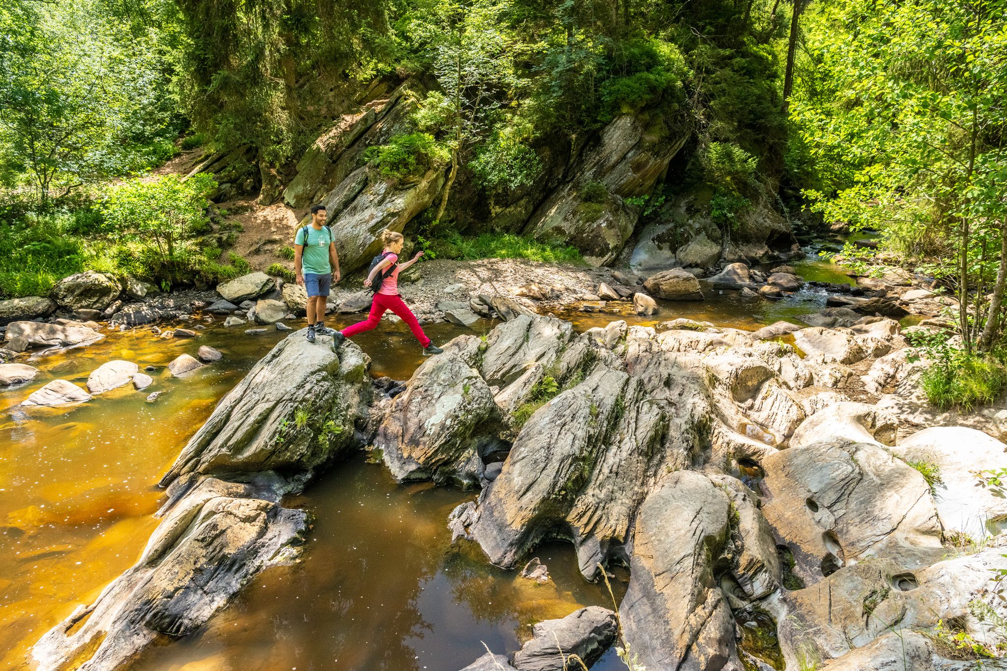
The Eifelsteig's 8 partner trails in Aachen region

Volcanoes, water, forest – the partner trails of the Eifelsteig
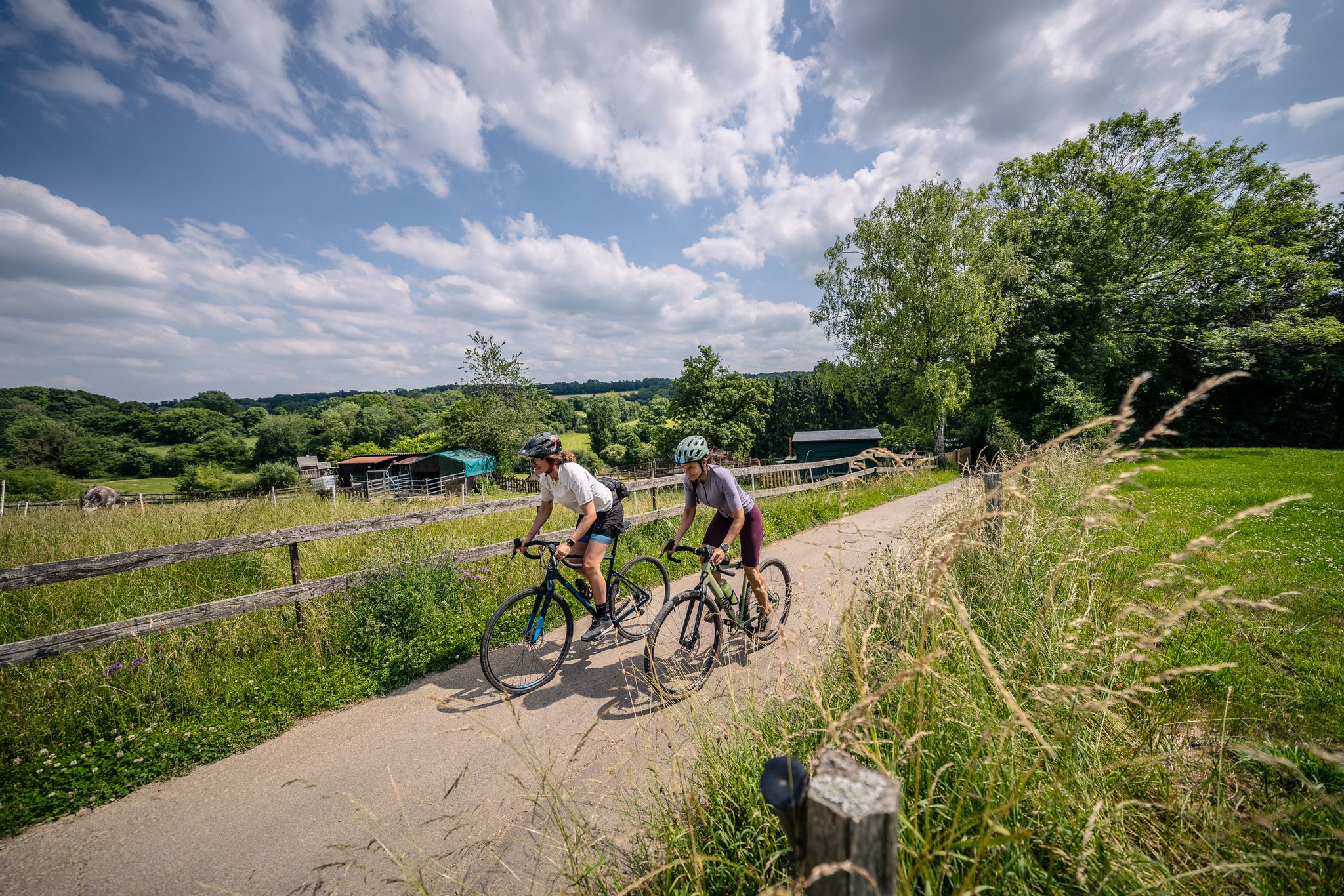
Gravel at its finest – rides around Aachen
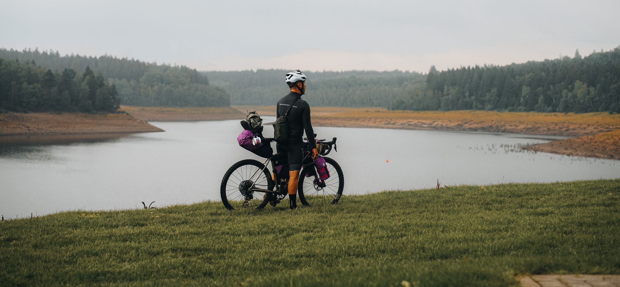
Bikepacking through the Eifel – The Reservoir Loop
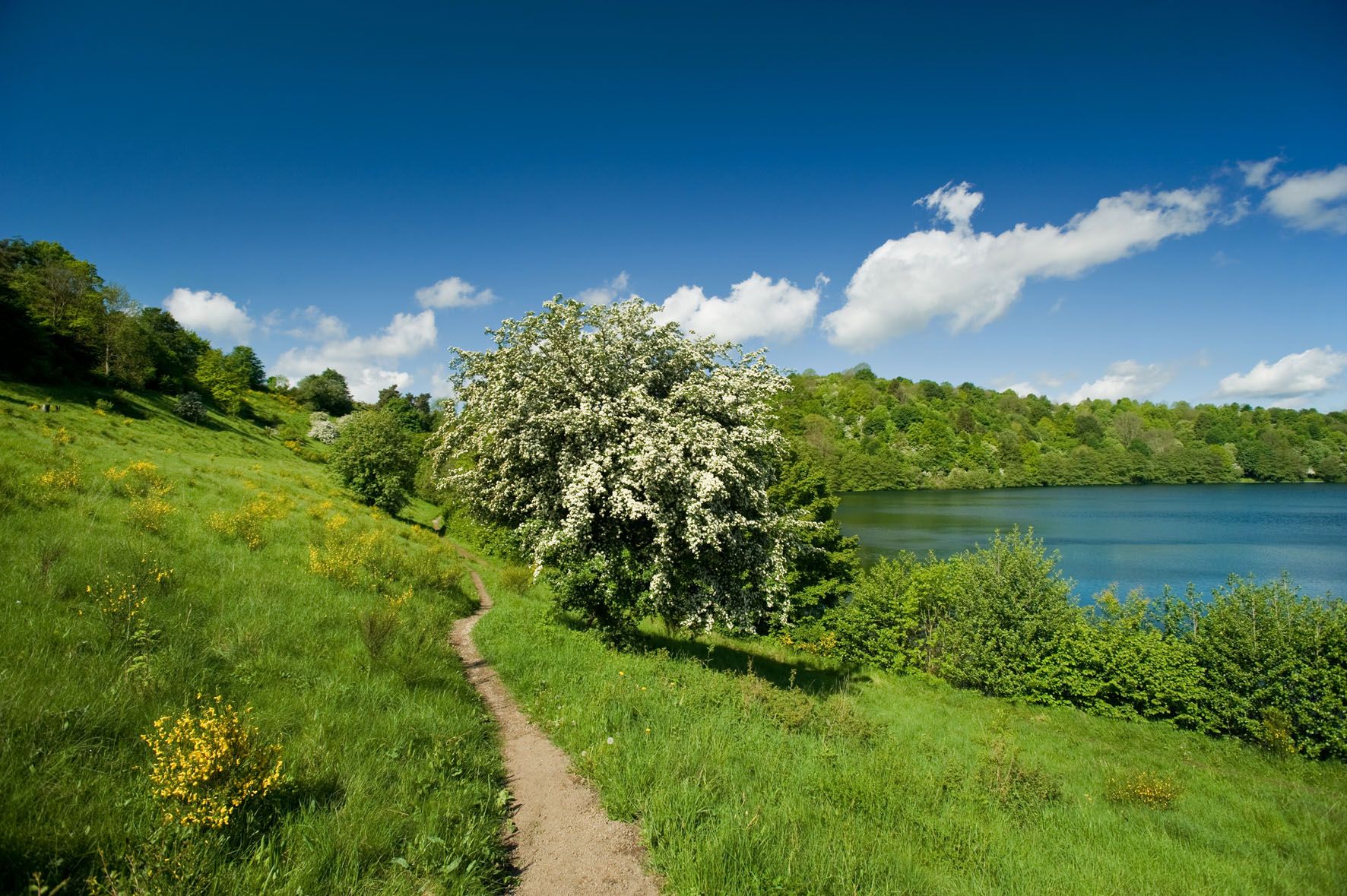
A long trail weekend in the Northern Eifel
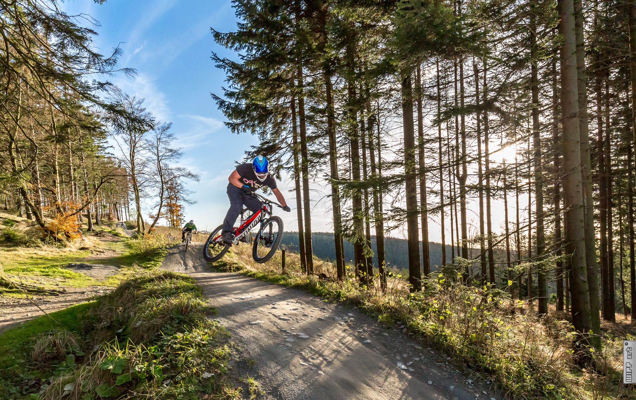
Bike parks in Western Germany
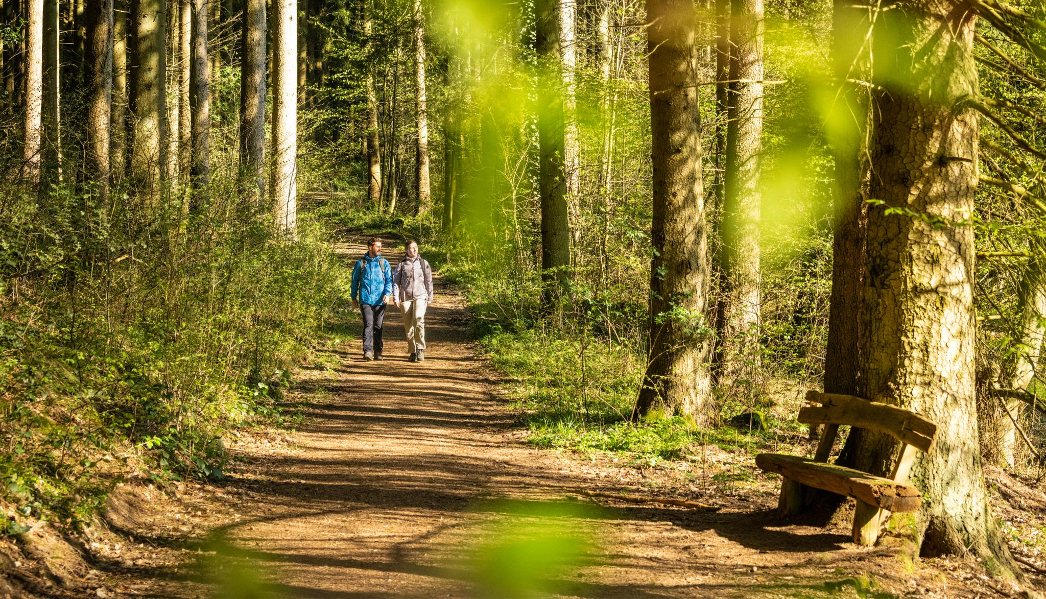
Wasser, Wald, Wildnis – Natur rund um die Kupferstadt Stolberg erleben
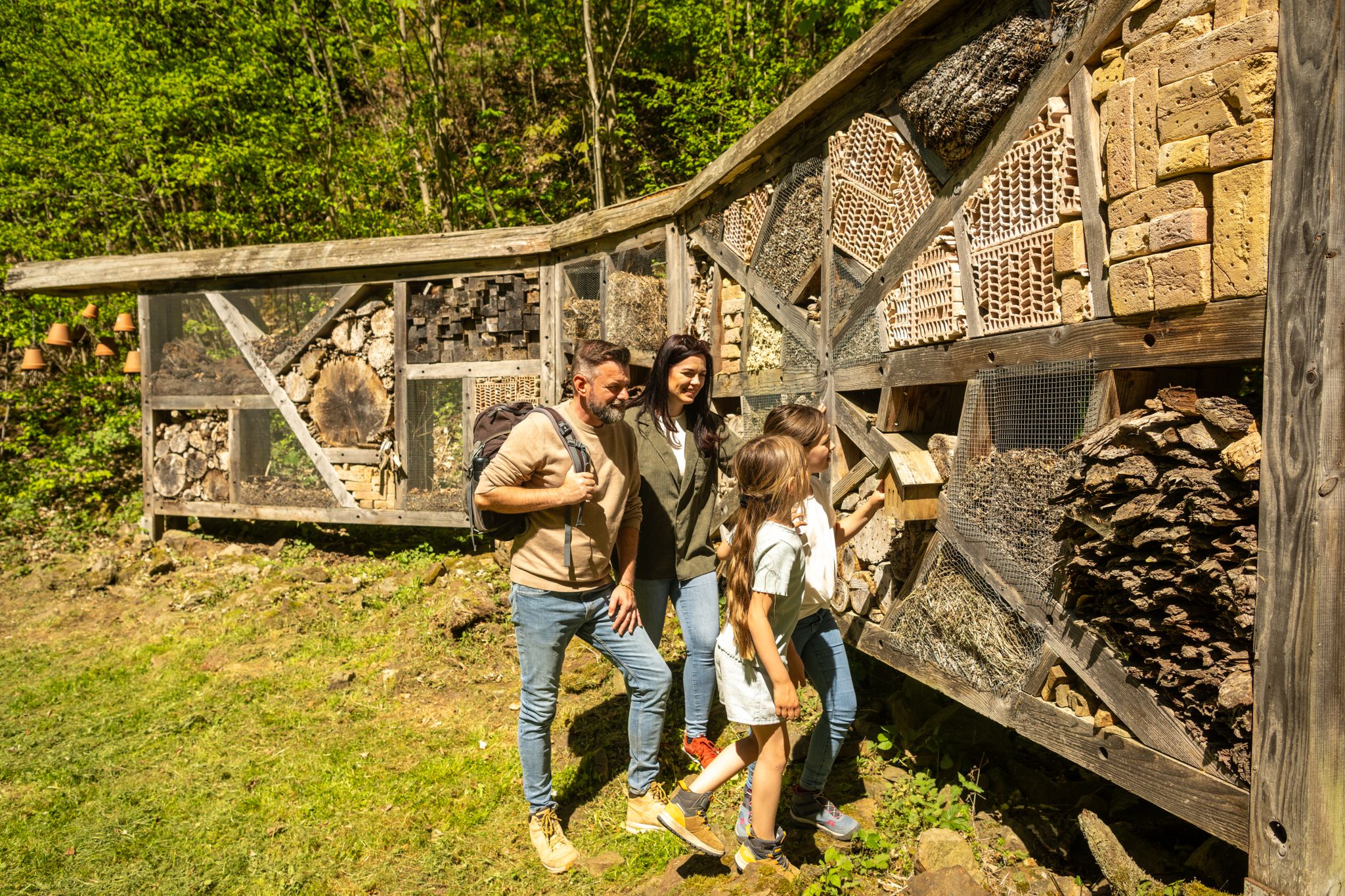
Familienrunden für Wissensdurstige – Kupferstadt Stolberg

MTB Trails around Hürtgenwald
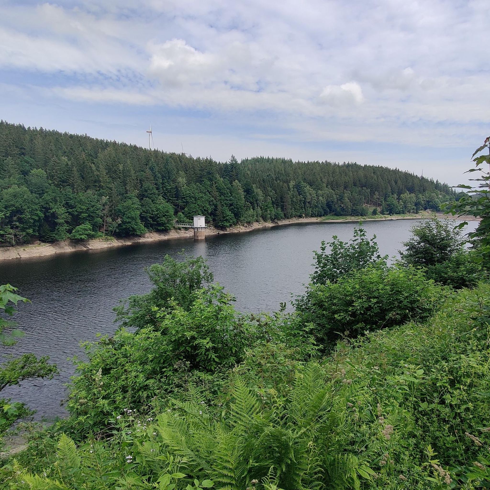
Running Trails around Hürtgenwald
Other adventures around Hürtgenwald


Tips from the Community

In view of the (in the worst sense of the word 'brand'-)current headlines about the devastating fire in the North Eifel (Hürtgenwald) and the nearby (Belgian) "Hohes Venn", the scale of which has so far reached unimaginable dimensions in the cross-border region, I recommend to nature-interested viewers a film documentary in the ZDF media library: An episode from the series »plan b« – titled "Forest protection in the climate crisis" – illuminates the background to the condition of our native forests and asks urgent questions. The contribution is available online at =>> https://www.zdf.de/play/dokus/plan-b-104/plan-b-waldschutz-in-der-klimakrise-100?staffel=2023
0
0
Given the (in the worst sense of the word 'brand') current headlines about the devastating fire in Hürtgenwald (DE) on the one hand, and the neighboring High Fens (BE) on the other, whose extent has so far reached unimaginable dimensions in Germany and Belgium, I recommend a film documentary in the ARD media library. It sheds light on the background and asks the exciting question: 'What comes after the forest fire?' If interested, see =>> https://www.ardmediathek.de/video/auf-spurensuche-oder-ard-wissen/was-kommt-nach-dem-waldbrand/mdr/Y3JpZDovL21kci5kZS9iZWl0cmFnL2Ntcy8yNTU5M2JlZC03MzIwLTRmZmEtYjYzMy1hNmNmMjg5OTJkNzU
0
0

Here are popular paths and hiking routes in and around the Schlangenberg nature reserve (Germany North Rhine-Westphalia) including various options for distance and difficulty: 🌲 1. Schlangenberg Nature Reserve – round tours • Round tour from Vicht: ±7.9 km, approx. 2 hr 10 min. average level. Beautiful paths through the reserve with slight elevation changes. • Round tour from Zweifall: ±9.9 km, approx. 2 hr 40 min, average level. Longer hike with views of streams, ponds, and forest landscape. • Vichter forest path – shorter loop: ±5.6 km, easy to walk, suitable for a relaxing stroll. 👉 These routes partly run over well-maintained unpaved paths and gravel paths that wind through nature. 🌼 2. Breinig Hike (BR2) • Breinig Circular Route BR2: ±6.9 km, average level. Beautiful loop through the reserve and surrounding nature with slight elevation changes. 🌳 3. Small loop – Small Forest Loop • Small forest walk near Schlangenberg: ±1.8 km (1.1 miles), easy and ideal for a short nature walk, suitable for everyone and lovely for a half-hour to an hour's walk. 📍 Tips for hikes ✔ The paths in the Schlangenberg nature reserve are generally marked and well-maintained with both short and longer options. ✔ Check GPX tracks or maps in advance via hiking sites/apps like Komoot or RouteYou if you want to follow the exact route. ✔ As Schlangenberg is located in a protected nature area (Naturpark Hohes Venn-Eifel), it is important to stay on the paths and respect any rules.
1
0


The heath at Struffelt is beautiful at any time of the year
0
0

The climb from Simonskall is a little long, but moderate. The view is worth it
1
0

Eifelsteig, stage 1 of 15 (Kornelimünster - Roetgen) https://youtu.be/J2cbeCOpVUk
2
0

extraordinary heathland between all the forest around it
3
0
Frequently Asked Questions
How many hiking trails are there in Hürtgenwald?
Hürtgenwald offers a wide variety of hiking experiences, with over 400 routes available on komoot. These range from easy strolls to more challenging day hikes, catering to all levels of experience.
What kind of terrain can I expect when hiking in Hürtgenwald?
The terrain in Hürtgenwald is characterized by dense forests, deeply carved valleys, and rolling hills. You'll find thickly wooded valleys contrasting with some agricultural plateaus. The Rur River flows along its eastern edge, and areas like the Kall Valley feature idyllic wet meadows and alder gallery forests. Expect varied landscapes, from tranquil streams to rugged, forested paths.
Are there any historical sites or landmarks to see while hiking in Hürtgenwald?
Yes, Hürtgenwald is rich in history, particularly from World War II. Many trails lead through areas with visible remnants of the Siegfried Line (Westwall), including bunkers and trenches. The municipality of Simonskall, for instance, is directly on the former Westwall and features monuments. For deeper insight, the Hürtgenwald Museum 1944 in Vossenack provides further context on this period.
What natural features or viewpoints can I discover on hikes in Hürtgenwald?
Hikers can enjoy several natural highlights and viewpoints. The View of the Dreilägerbach Dam offers scenic vistas, and the Forebay of the Dreilägerbach Reservoir is beautiful, especially when water lilies bloom. The Struffelt Pond is another tranquil spot. The Krawutschketurm observation tower also provides breathtaking panoramic views over the dense forests and rolling hills of the region.
Are there family-friendly hiking options in Hürtgenwald?
Hürtgenwald offers numerous trails suitable for families. Many routes are designed to be accessible and enjoyable for all ages, often passing through forests or alongside streams. Look for routes marked as 'easy' on komoot for the most family-friendly experiences.
Can I bring my dog on the hiking trails in Hürtgenwald?
Yes, many trails in Hürtgenwald are dog-friendly, allowing you to enjoy the natural beauty with your canine companion. However, it's always recommended to keep your dog on a leash, especially in nature reserves or areas with wildlife, to ensure their safety and respect for other hikers and the environment.
Are there circular hiking routes available in Hürtgenwald?
Yes, Hürtgenwald has a good selection of circular hiking routes, perfect for day trips. An example is the Kall Valley – Kall Reservoir loop from Simonskall, which offers a scenic journey back to your starting point without retracing your steps.
What are some easy hiking routes in Hürtgenwald?
For an easy and enjoyable hike, consider the Struffelt Boardwalk – View of the Dreilägerbach Dam loop from Roetgen. This 4.4-mile (7.1 km) path is rated easy and offers pleasant views of the dam and surrounding nature. There are over 230 easy routes in the region to choose from.
Where can I find parking for hiking trails in Hürtgenwald?
Many popular trailheads and starting points for hikes in Hürtgenwald offer designated parking areas. It's advisable to check the specific tour details on komoot, as most routes provide information on nearby parking facilities to help you plan your trip.
Is public transport available to reach hiking trailheads in Hürtgenwald?
While some areas of Hürtgenwald are accessible by public transport, it's generally more convenient to reach many trailheads by car. Local bus routes connect some villages, but service frequency might vary. For specific routes, checking local bus schedules in advance is recommended.
What is the best time to visit Hürtgenwald for hiking?
Hürtgenwald offers a unique hiking experience throughout the year. The region's Atlantic-influenced climate often brings frequent rains and foggy days, contributing to a lush and sometimes mystical atmosphere, especially in spring and autumn. Summer provides warmer, longer days, while winter can offer serene, snow-covered landscapes. The dense forests provide shade in warmer months and protection in cooler ones.
What do other hikers enjoy most about hiking in Hürtgenwald?
The area is highly rated by the komoot community, with an average score of 4.5 stars from over 9,000 reviews. Hikers often praise the diverse landscape, from dense forests and deeply carved valleys to tranquil streams, and the unique blend of natural beauty with significant historical sites.
Are there any cafes or pubs near the hiking trails in Hürtgenwald?
Yes, you can find cafes and pubs in the villages scattered throughout the Hürtgenwald region, such as Vossenack or Simonskall. These establishments offer opportunities to refuel and relax after your hike. It's a good idea to check their opening hours, especially if you're hiking in more remote areas.
Most popular routes around Hürtgenwald
Most popular attractions around Hürtgenwald

Get inspired with the komoot mobile app


Explore more
Browse the best Hikes in other regions.
