The best road cycling routes around Esthwaite Water
4.7
(176)
7,291
riders
169
rides
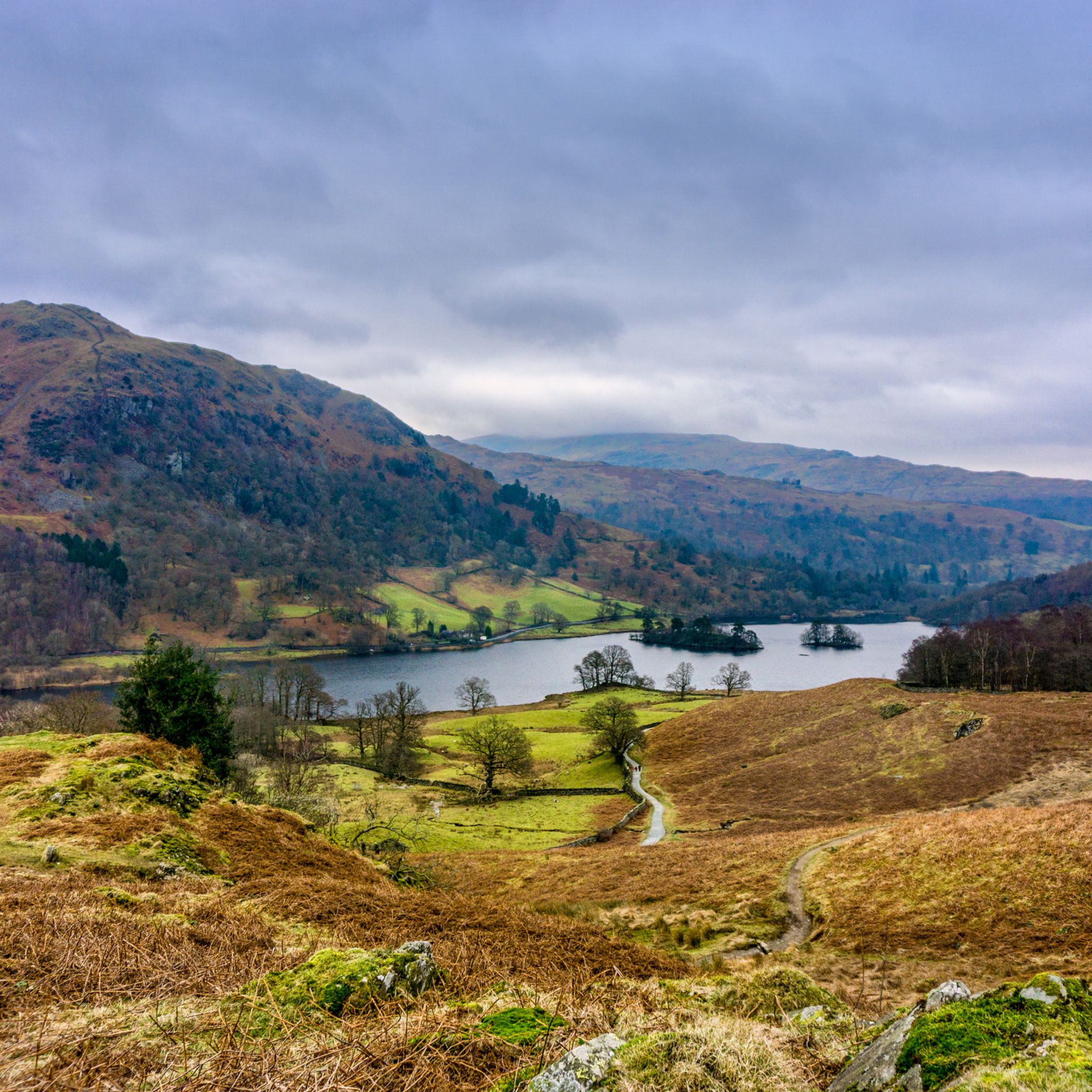
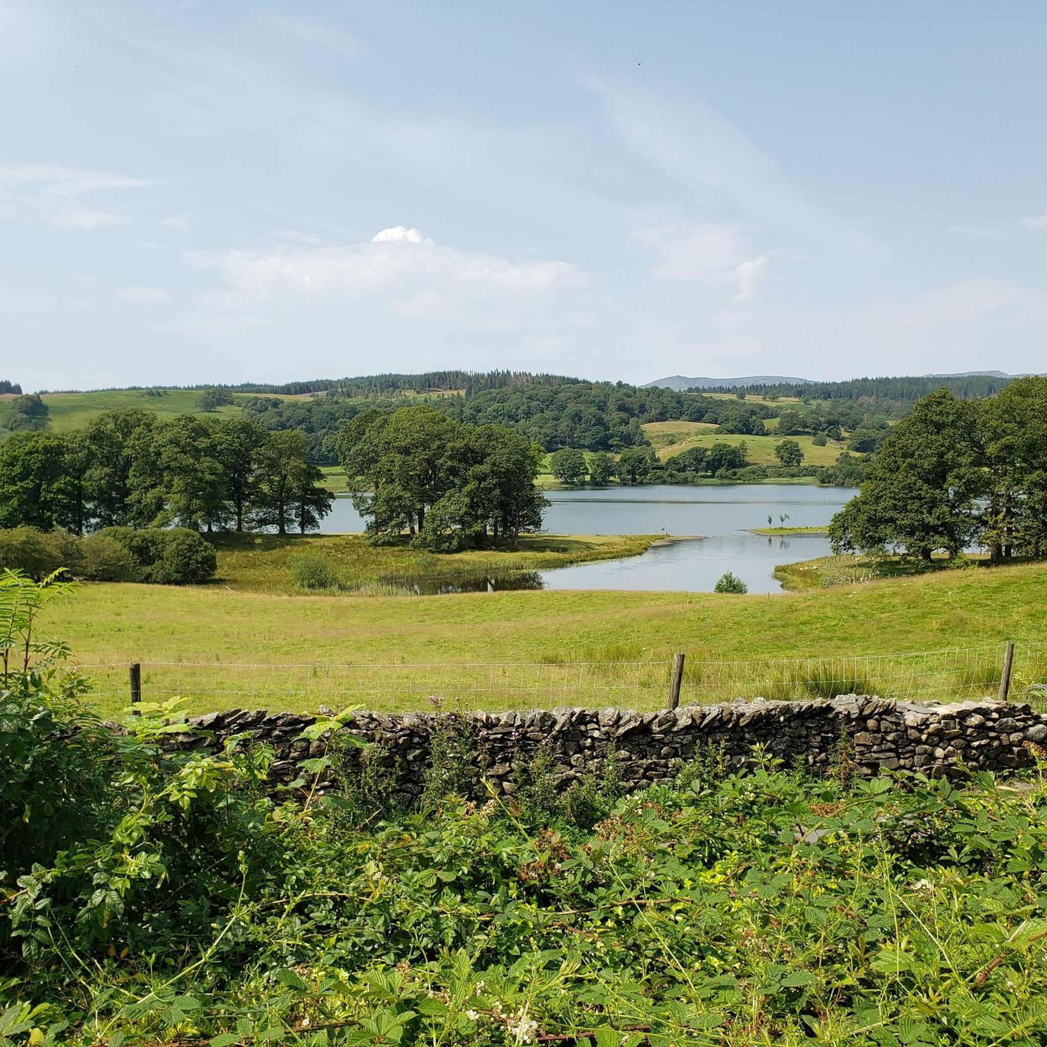
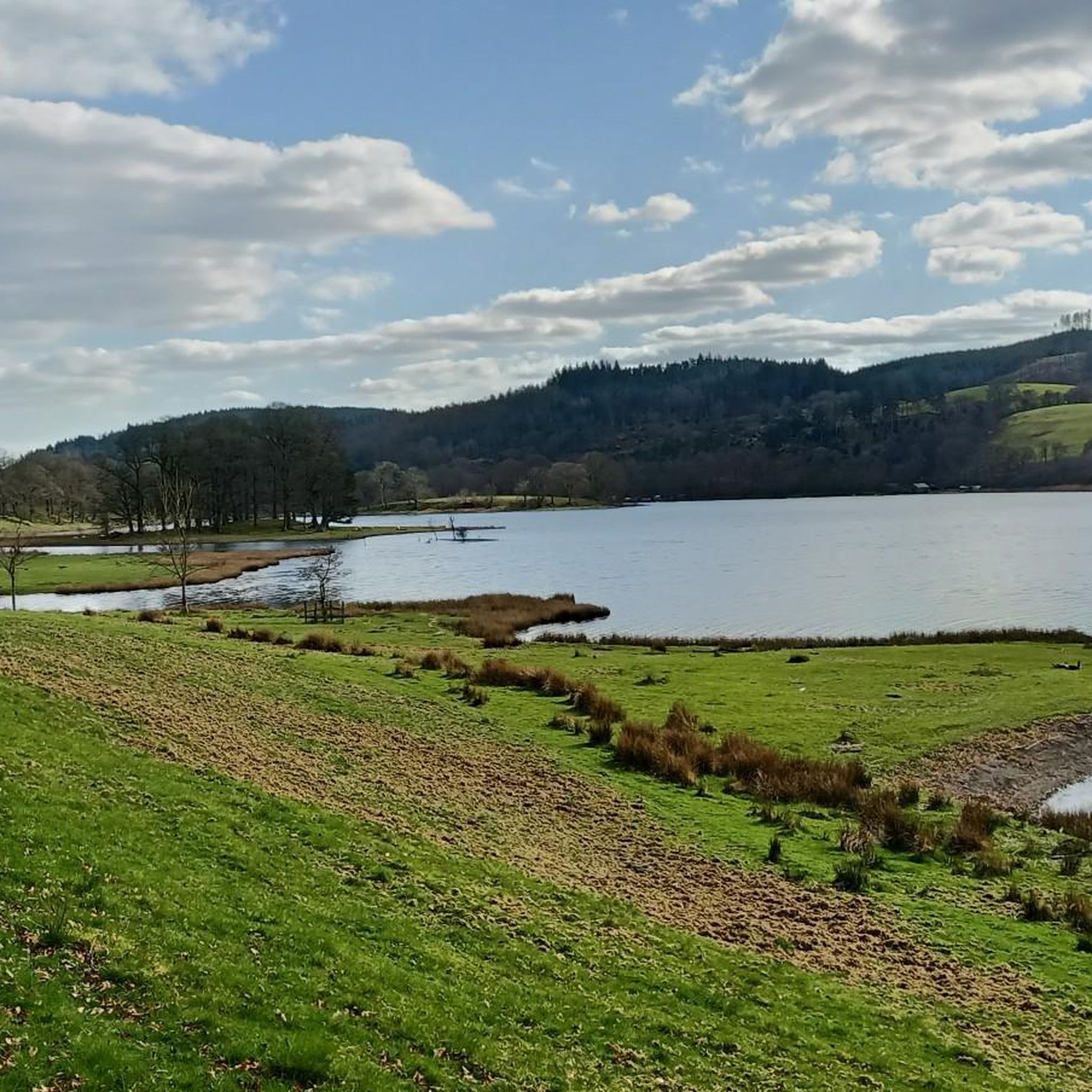
Road cycling around Esthwaite Water offers routes through a landscape characterized by rolling fells and the peaks of the Coniston Range. The area features varied shorelines, woodlands, and quiet lanes, providing diverse terrain for road cyclists. This region, nestled between Windermere and Coniston, is known for its serene waters and rich biodiversity.
Best road cycling routes around Esthwaite Water
- The most popular road cycling route is Wray Castle – Hawkshead Grammar School loop from Near Sawrey, a 11.8 miles…
Last updated: July 9, 2026
11
riders
20.9km
01:12
280m
280m
Moderate road ride. Great for any fitness level. Some segments of this route may be unpaved and difficult to ride.
3.0
(1)
63
riders
25.5km
01:25
450m
450m
Moderate road ride. Good fitness required. Mostly well-paved surfaces and easy to ride.

Sign up for free
17
riders
31.4km
01:54
460m
460m
Moderate road ride. Good fitness required. Mostly well-paved surfaces and easy to ride.
9
riders
Moderate road ride. Good fitness required. Mostly well-paved surfaces and easy to ride.
5.0
(1)
11
riders
7.91km
00:24
60m
70m
Easy road ride. Great for any fitness level. Mostly well-paved surfaces and easy to ride.
Get access to more routes and recommendations from other explorers.
Sign up for free
Already have an account?
Our route recommendations are based on thousands of hikes, rides, and runs completed by other people on komoot.
Start today with a free account
Your next adventure awaits.
Login or Signup


Tips from the Community

Grizedale is a well-known forest area, located between Coniston Water and Lake Windermere in the southern part of the Lake District. The forest is managed by Forestry England and is known for its outdoor adventures, extensive routes with contemporary art sculptures, and as the home of the only native red deer population in England. (Forestry England)
6
0
Coniston is located at the northern end of the third largest lake in the Lake District: Coniston Water. Steam yacht cruises are offered on this lake. Coniston is said to be derived from the Old Norse words Konigs Tun or king's settlement. That king is said to have been Thorstein, a Viking who gave his name to Thurstinii Watra, the old name of Coniston Water. (Wikipedia)
5
0

Great shortcut rather than heading around the north of the lake.
0
0

There is a cafe about 1m down the track. This would add two miles to any walk!
0
0
Large car park - which can be paid for with card. You will need your card.
0
0

great way to avoid busier roads. Quiet and scenic (turn right at the T Junction in Skelwith Fold for short diversion to the top of Spy Hill and a great view up the Langdale Valley
0
0
Frequently Asked Questions
How many road cycling routes are available around Esthwaite Water?
There are over 170 road cycling routes around Esthwaite Water, offering a wide range of options for different skill levels. These routes traverse a landscape of rolling fells, serene waters, and quiet lanes.
What types of road cycling routes can I find in the Esthwaite Water area?
The area offers a diverse selection of routes, from easy, short loops to more challenging, longer rides with significant elevation gain. You'll find approximately 37 easy routes, 93 moderate routes, and 44 difficult routes, ensuring options for all fitness levels.
Are there any easy road cycling routes suitable for beginners or families around Esthwaite Water?
Yes, there are several easy routes perfect for beginners or families. An excellent option is the Hill Top, Beatrix Potter – Esthwaite Trout Fishery Café loop from Hawkshead. This route covers 7.7 km with minimal elevation, making it very accessible.
What are some popular moderate road cycling routes in the region?
Many cyclists enjoy moderate routes like the Wray Castle – Hawkshead Grammar School loop from Near Sawrey, which is 19.0 km and takes you past notable landmarks. Another popular choice is the Coniston Village – Coniston Village loop from Hawkshead, a 25.3 km path offering scenic views towards Coniston Village.
Are there any challenging road cycling routes for experienced riders?
For experienced riders seeking a challenge, consider the Grizedale Valley loop from Hawkshead, a 31.4 km trail with significant elevation. A longer and more demanding option is the Windermere Ferry Crossing – Quiet Lanes at Foulshaw Moss loop from Hawkshead, which spans 73.5 km and requires good fitness.
What can I see along the road cycling routes around Esthwaite Water?
Road cycling routes often pass by significant attractions and natural features. You can explore literary connections at Beatrix Potter's iconic home, Hill Top, or visit the historic Hawkshead Grammar School Museum. Many routes also offer stunning vistas of Esthwaite Water itself, surrounded by rolling fells and the majestic peaks of the Coniston Range.
Are there any circular road cycling routes around Esthwaite Water?
Yes, many of the road cycling routes around Esthwaite Water are designed as circular loops, allowing you to start and finish in the same location. Examples include the Hill Top, Beatrix Potter – Esthwaite Trout Fishery Café loop from Hawkshead and the Wray Castle – Hawkshead Grammar School loop from Near Sawrey.
What do other road cyclists enjoy most about cycling in Esthwaite Water?
The area is highly rated by the komoot community, with an average score of 4.8 stars from over 150 reviews. Cyclists often praise the serene waters, quiet lanes, and the diverse terrain that caters to various ability levels. The stunning vistas across the picturesque landscape are also frequently highlighted.
When is the best time of year for road cycling around Esthwaite Water?
Esthwaite Water's natural beauty changes with the seasons, offering unique experiences year-round. Spring and autumn provide vibrant colors and milder temperatures, while summer allows for longer daylight hours. Even in winter, the area can be beautiful, though conditions may require more preparation. Always check local weather forecasts before heading out.
Are there cafes or places to stop for refreshments along the road cycling routes?
Yes, routes often pass through charming villages or near establishments where you can find refreshments. For example, the Hill Top, Beatrix Potter – Esthwaite Trout Fishery Café loop from Hawkshead specifically mentions the Esthwaite Trout Fishery Café, providing a convenient stop.
How does road cycling around Esthwaite Water compare to Windermere?
While both offer excellent cycling, Esthwaite Water is often considered a quieter, more tranquil experience compared to the busier tourist hubs around Windermere. Esthwaite provides a serene setting with rolling fells and diverse landscapes, making it ideal for those seeking a more peaceful ride away from larger crowds.
Where can I find parking for road cycling in the Esthwaite Water area?
Parking is generally available in and around the villages that serve as common starting points for routes, such as Hawkshead or Near Sawrey. Specific parking details can often be found within individual route descriptions on komoot, or by checking local visitor information for designated car parks.
Most popular routes around Esthwaite Water

Get inspired with the komoot mobile app


Explore more
Browse the best Road cycling routes in other regions.
