The best running trails around Lough Fee
5.0
(4)
289
runners
3
runs
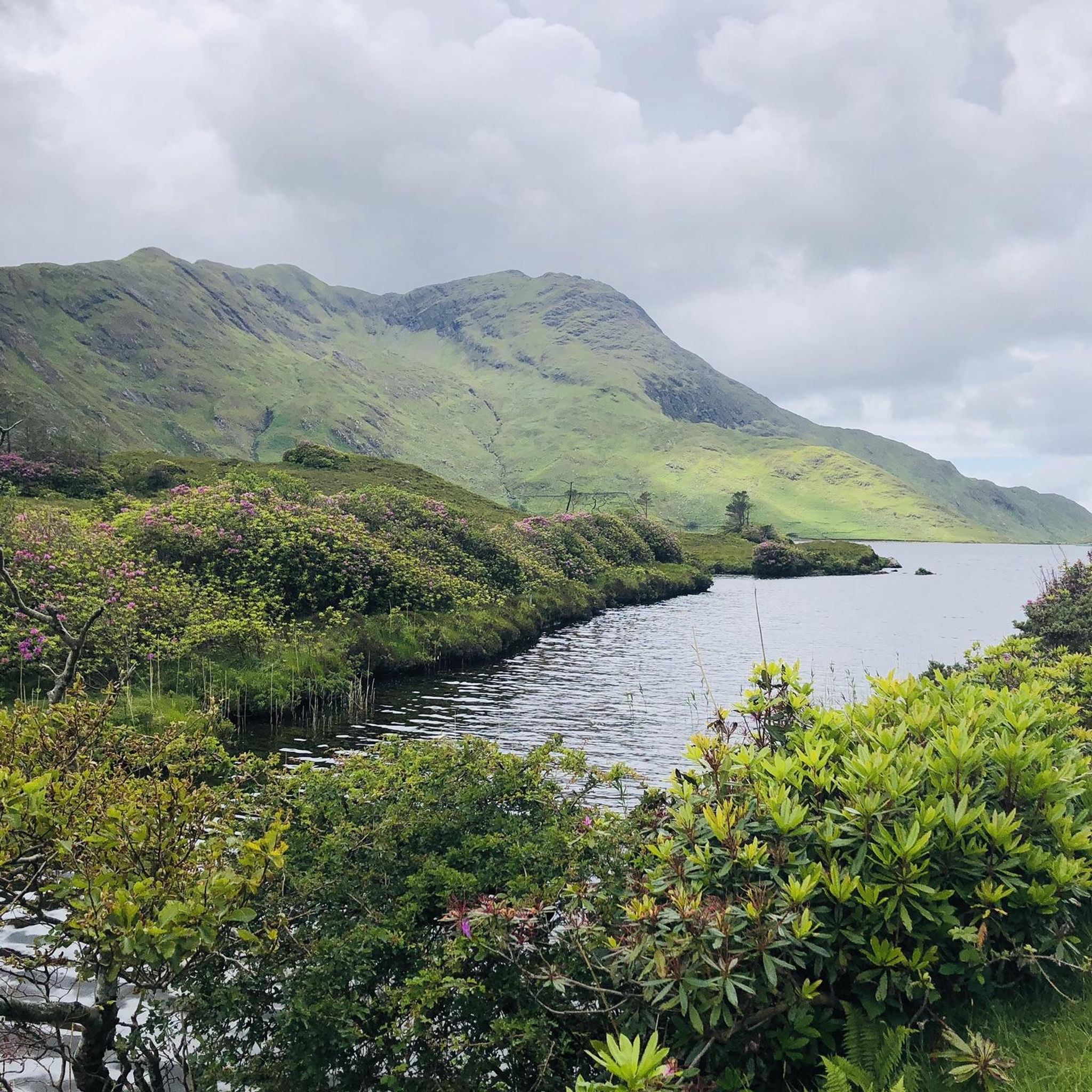
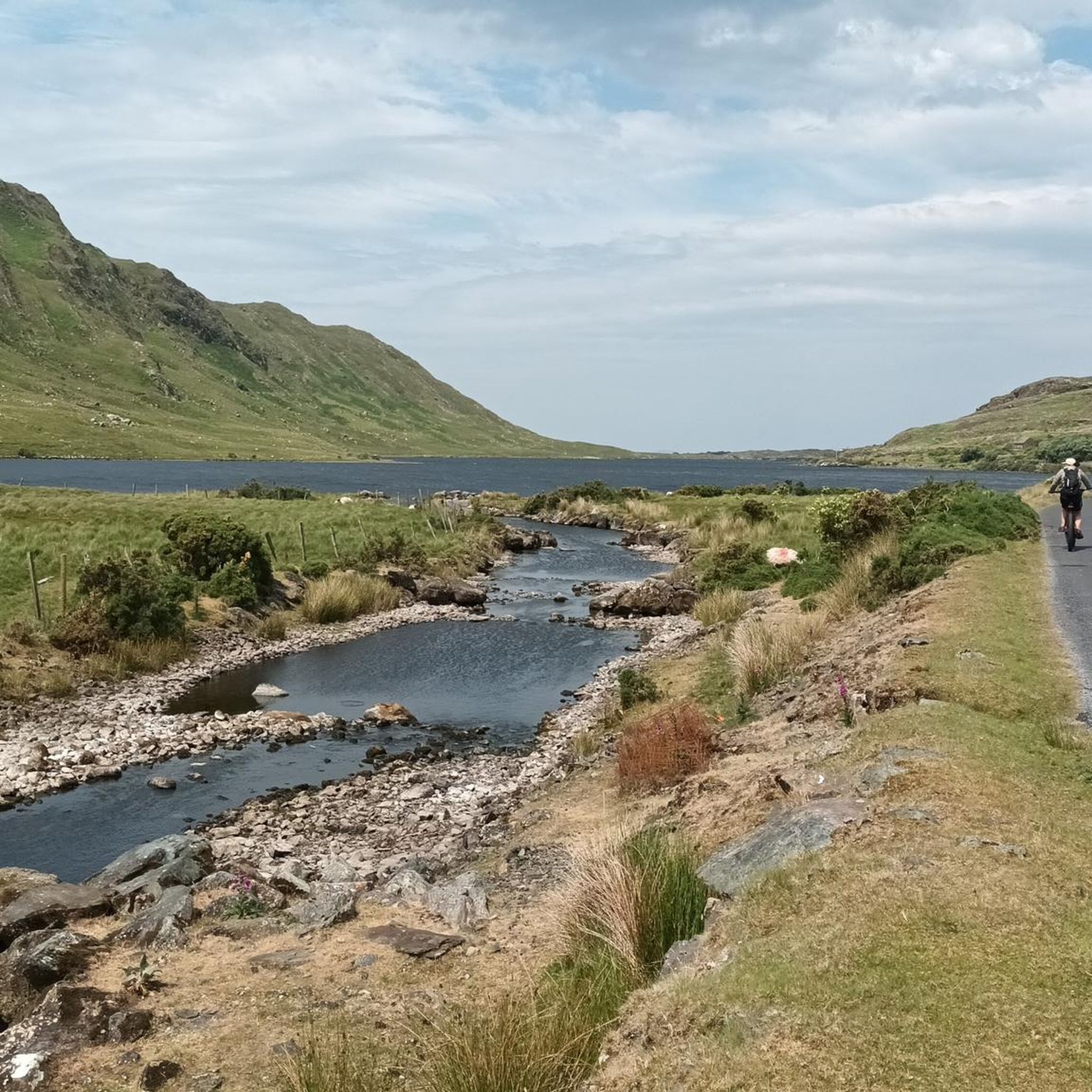
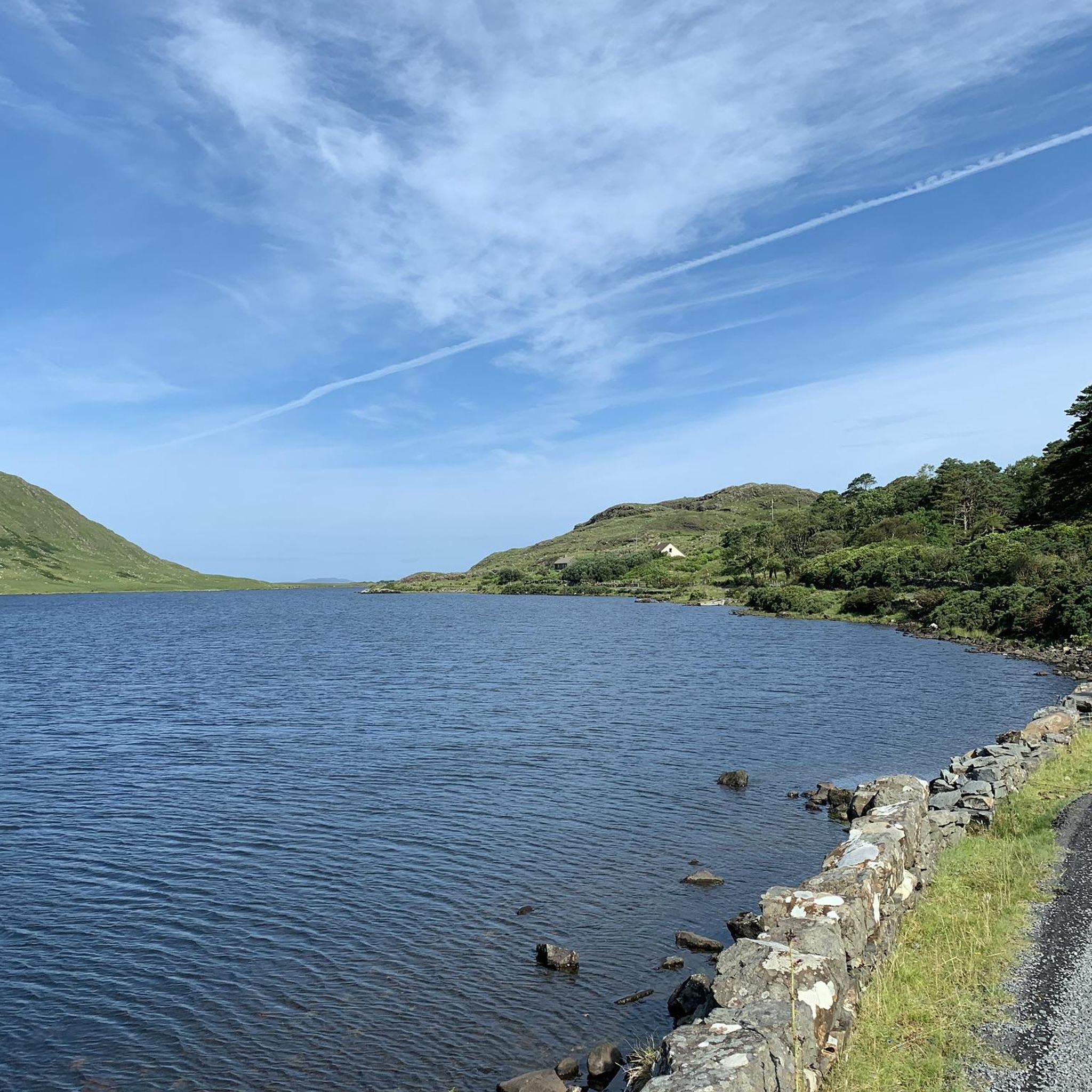
Jogging routes around Lough Fee are situated in the Connemara region of County Galway, Ireland, characterized by a freshwater lake, dramatic cliffs, and mountainous terrain. The area is part of The Twelve Bens/Garraun Complex Special Area of Conservation, preserving its natural environment. The lake itself is approximately 1.9 miles (3 km) long, with tranquil waters reflecting the surrounding mountains, providing a scenic backdrop for running.
Best jogging routes around Lough Fee
- The most popular jogging route is Running loop from Barnaheskabaunia, a 5.0 miles (8.0 km) trail that takes 58 minutes to complete. This moderate route features varied terrain suitable for a steady run.
- Another top favourite among local runners is Rosroe Pier loop from Killary Harbour Hostel, a moderate 6.5 miles (10.4 km) path. This route offers views of Killary Fjord and the surrounding coastal landscape.
- Local runners also love the Owengar River loop from Glassillaun, a 4.2 miles (6.7 km) trail leading through tranquil riverside scenery, often completed in about 43 minutes.
- Jogging around Lough Fee is defined by mountainous terrain, tranquil waters, and fjord landscapes. The network offers options for different ability levels, from moderate paths to more challenging routes with significant elevation gains.
- The routes in Lough Fee are highly rated by the komoot community with an average score of 5.0 stars from 3 reviews. More than 200 runners have used komoot to explore Lough Fee's varied terrain.
Last updated: June 28, 2026
5
runners
8.03km
00:58
70m
70m
Moderate run. Good fitness required. Mostly paved surfaces. Suitable for all skill levels.
5.0
(1)
12
runners
12.9km
01:23
220m
220m
Moderate run. Good fitness required. Mostly paved surfaces. Suitable for all skill levels.

Sign up for free
7
runners
6.69km
00:43
100m
100m
Moderate run. Good fitness required. Mostly paved surfaces. Suitable for all skill levels.
5.0
(3)
240
runners
7.81km
01:00
370m
370m
Hard run. Very good fitness required. Mostly paved surfaces. Suitable for all skill levels.
20
runners
3.07km
00:21
90m
90m
Easy run. Great for any fitness level. Mostly paved surfaces. Suitable for all skill levels.
Our route recommendations are based on thousands of hikes, rides, and runs completed by other people on komoot.
Start today with a free account
Your next adventure awaits.
Login or Signup
Popular around Lough Fee
Tips from the Community

This short section connects the outflow from Lough Fee to Lough Muck downstream, enroute to the nearby Atlantic.
1
0


Wonderful view over the bays and lakes of Conemara
1
0

Unfortunately, we didn't have good weather. But even then, the visit is worth it. It has something mystical
1
1

The visitor center in Connemara National Park is the perfect starting point for anyone wanting to explore Connemara's unique landscape. It not only provides valuable information about the park's flora and fauna, but also about the numerous hiking trails that lead through this stunning region of Ireland. With a small but informative exhibition that is free to access, visitors can learn about Connemara's natural beauty before embarking on their hike. The center also offers picnic benches for a pleasant outdoor rest, a tea room for refreshments and public toilets for visitors. The Visitor Center's opening hours are 9 a.m. to 5:30 p.m. daily from March to October, giving visitors plenty of time to explore the park at their leisure. Entry to the visitor center and the national park itself is free, which makes a visit even more attractive. For those planning a hike, be it a climb to Diamond Hill or a leisurely stroll through the moorland, the visitor center is an excellent resource to help you prepare. Friendly staff are available to answer questions and offer tips to make the hike an unforgettable experience. In addition, the visitor center offers the opportunity to fortify yourself with a snack before or after the hike and to use the beautiful seating areas to relax. Two free museums within the center also invite you to delve even deeper into the history and culture of Connemara.
2
0
Diamond Hill, with its Irish name Binn Ghuaire, is a prominent peak in Connemara National Park in County Galway, Ireland. Although the mountain is not one of Ireland's highest peaks, at just 442 meters high, it still offers impressive views of the surrounding Connemara countryside and is particularly popular with walkers due to its well-maintained paths and relative ease of access. The walk to Diamond Hill is an experience that not only takes walkers through a variety of landscapes including heather, moorland, woodland and open spaces, but also breathtaking views of the sea, coast, neighboring Kylemore Abbey and the striking mountain range of the Twelve Bens offers. The well-marked trails and boardwalk system make the hike accessible to families with children and less experienced hikers. For those looking for a challenge, there are longer routes that cover multiple peaks, as well as the Diamond Hill Loop Trail, which is a more challenging option at 6.5 kilometers long with some steeper sections. Regardless of the route chosen, hikers should wear rain and windproof clothing and be prepared for changeable weather conditions, which can often occur in this region of Ireland. The best time to visit is in spring, when the gorse is in bloom and the landscape is bathed in a sea of yellow, or in summer, when the days are longer and the chance of good weather is higher. However, Diamond Hill offers unique views and experiences in every season. It should be noted that Diamond Hill is located in a protected area. Visitors should therefore adhere to local regulations, respect flora and fauna and not litter. Entry to Connemara National Park and parking are free, and the hike to Diamond Hill is an excellent way to experience the beauty of the Irish countryside while practicing a respectful approach to nature.
3
0

Beautiful view of the 12 pins in Connemara
0
0
Exhausting, but an incredible view of the Emerald Isle.
0
1
Frequently Asked Questions
How many running routes are available around Lough Fee?
There are several running routes around Lough Fee, with komoot featuring 4 distinct trails. These routes cater to various fitness levels, from moderate paths to more challenging runs.
Are there easy running routes suitable for beginners or families in the Lough Fee area?
While many routes offer varied terrain, the Lough Fee area is known for its mountainous landscape. For a more moderate option, the Lough Muck loop from Tully Cross is a 3.9-mile (6.2 km) trail through tranquil lakeside scenery, which might be suitable for those looking for a less strenuous run.
What kind of terrain can I expect on the jogging trails around Lough Fee?
The jogging routes around Lough Fee are characterized by a blend of accessible paths and more rugged routes. You'll encounter mountainous terrain, tranquil waters, and fjord landscapes. Some trails feature significant elevation gains, while others offer steadier runs.
Are there any challenging running trails for experienced runners?
Yes, for experienced runners seeking a challenge, the Lough Fee – Killary Fjord loop from Tully Cross is a difficult 9.6-mile (15.4 km) trail with expansive views and significant elevation changes. Another challenging option is the Mweelrea – Ben Lugmore loop from Doo Lough Valley and Famine Memorial, which features substantial elevation gain over 16.2 km.
Can I bring my dog on the jogging routes around Lough Fee?
Lough Fee is set within a preserved natural environment, including The Twelve Bens/Garraun Complex Special Area of Conservation. While specific dog rules for each trail may vary, it's generally advisable to keep dogs on a leash to protect local wildlife and ensure a pleasant experience for all users. Always check local signage.
Are there circular running routes available in Lough Fee?
Yes, several routes around Lough Fee are circular. For example, the Lough Fee – Killary Fjord loop from Tully Cross and the Lough Muck loop from Tully Cross are both popular circular options, allowing you to start and finish in the same location.
What natural landmarks or attractions can I see while running near Lough Fee?
While running around Lough Fee, you'll be surrounded by stunning natural beauty, including the lake itself, dramatic cliffs, and mountainous terrain. The area is close to other significant attractions like Killary Harbour, a stunning fjord just 3.1 km away, and the historic Kylemore Abbey, about 5.2 km distant. Glassilaun Beach and Rosroe Quay also offer coastal views within a few kilometers.
Is parking available for runners near the Lough Fee trails?
The accessibility of the Lough Fee area, with roads running alongside the lake, provides convenient entry points for visitors. While specific parking areas for each trail are not detailed, generally, you can find parking in nearby villages like Tully Cross or Letterfrack, which serve as starting points for several routes.
How can I reach the Lough Fee jogging routes using public transport?
Lough Fee is located in the Connemara region of County Galway, Ireland. Public transport options might be limited directly to the trailheads. However, villages like Letterfrack and Tully Cross, which are starting points for some routes, may be accessible by local bus services. It's recommended to check regional bus schedules for the most up-to-date information.
What do other runners say about their experience jogging in Lough Fee?
The running routes in Lough Fee are highly rated by the komoot community, with an average score of 5.0 stars from 3 reviews. Over 200 runners have used komoot to explore the varied terrain, often praising the breathtaking backdrop of mountains and tranquil waters, making it an inspiring and rewarding destination.
Are there places to eat or drink near the running trails in Lough Fee?
While there might not be establishments directly on every trail, the villages of Tully Cross and Letterfrack, which are common starting points for routes, offer cafes, pubs, and accommodation options where you can refuel after your run. Killary Harbour, a short distance away, also has amenities.
What is the best time of year to go running around Lough Fee?
Lough Fee offers stunning scenery year-round. The changing hues of the water reflecting the surrounding mountains are a constant feature. However, for optimal running conditions, spring and summer generally offer milder weather and longer daylight hours. Autumn provides beautiful foliage, though weather can be more unpredictable. Winter runs are possible but may require more preparation for colder, wetter conditions.
Are there any routes that offer views of both Lough Fee and Killary Fjord?
Yes, the Lough Fee – Killary Fjord loop from Tully Cross is specifically designed to offer expansive views of both Lough Fee and the nearby Killary Fjord, providing a diverse and scenic running experience.

Get inspired with the komoot mobile app


Explore more
Browse the best Running Trails & Routes in other regions.
