The best mountain hikes around Weitsee
4.7
(665)
6,325
hikers
130
hikes
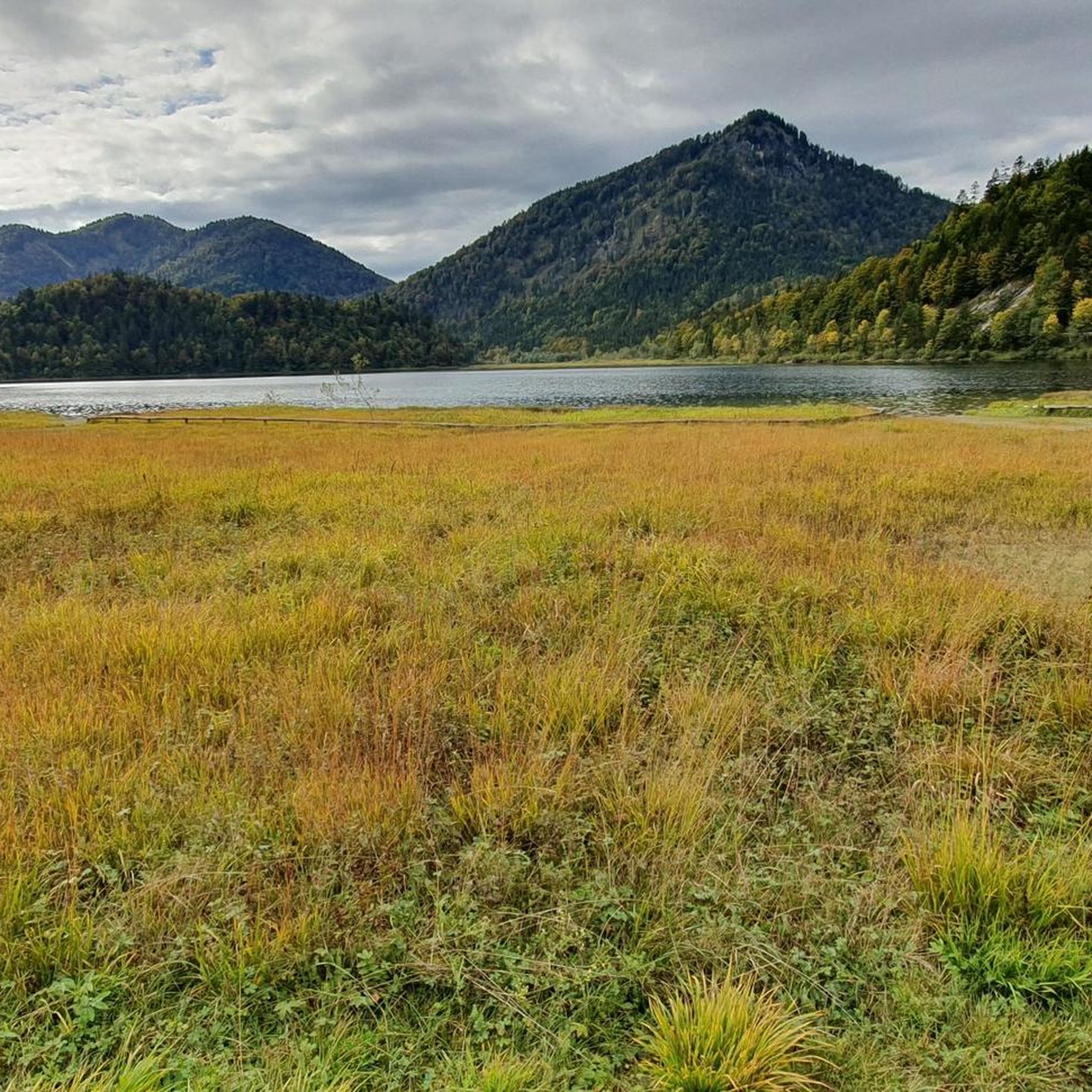
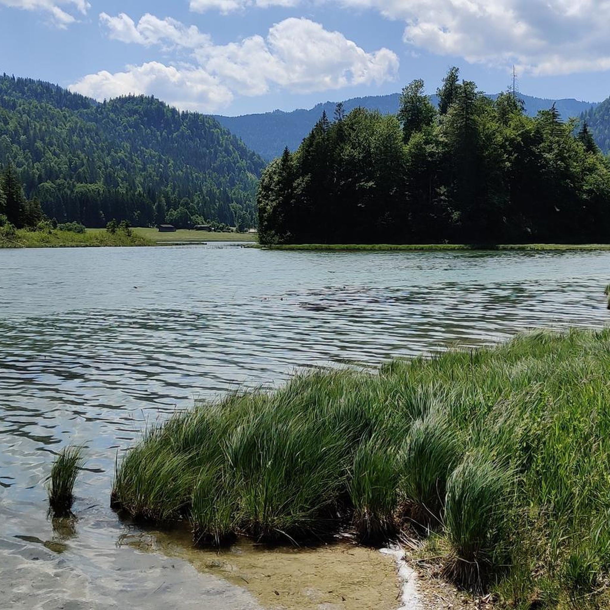
Mountaineering routes around Weitsee are set within the picturesque Bavarian Alps, part of the "Dreiseengebiet" (Three Lake Area) which includes Weitsee, Mittersee, and Lödensee. The region is characterized by dense forests, lush alpine meadows, and towering peaks such as the Dürrnbachhorn, Hörndlwand, and Gurnwandkopf. This landscape offers a diverse range of mountaineering experiences, from challenging summit ascents to routes with light climbing sections. The clear waters of Weitsee provide a scenic backdrop to the surrounding alpine terrain.
Best mountaineering routes around Weitsee
- The most popular mountaineering route is Hörndlwand summit – Gurnwandkopf loop from Weitsee, a 6.5 miles (10.4 km) trail that takes 5 hours 33 minutes to complete. This difficult route offers panoramic views of the Chiemgau Alps.
- Another top favourite among local mountaineers is Hochkienbergalm – Gurnwandkopf loop from Weitsee, a difficult 6.8 miles (11.0 km) path. This demanding route traverses alpine meadows and ascends towards prominent peaks.
- Local mountaineers also love the Gurnwandkopf – Hörndlwand summit loop from Weitsee, a 10.1 miles (16.3 km) trail leading through varied alpine terrain, often completed in about 6 hours 59 minutes.
- Mountaineering around Weitsee is defined by Bavarian Alpine landscapes, dense forests, and towering peaks. The network offers options for various ability levels, including 5 easy, 48 moderate, and 85 difficult routes.
- The routes in Weitsee are highly rated by the komoot community with an average score of 4.8 stars from over 600 reviews. More than 6000 mountaineers have used komoot to explore Weitsee's varied terrain.
Last updated: October 8, 2026
4.8
(6)
68
hikers
10.4km
05:33
900m
900m
Hard mountaineering route. Very good fitness required. Sure-footedness, sturdy shoes and alpine experience required.
4.8
(15)
85
hikers
12.9km
04:50
620m
620m
Moderate mountaineering route. Good fitness required. Mostly accessible paths. Sure-footedness required.

5.0
(7)
43
hikers
10.9km
05:34
880m
880m
Hard mountaineering route. Very good fitness required. Sure-footedness, sturdy shoes and alpine experience required.
4.5
(4)
29
hikers
16.8km
07:13
970m
970m
Hard mountaineering route. Very good fitness required. Sure-footedness, sturdy shoes and alpine experience required.
5.0
(1)
14
hikers
14.7km
06:30
910m
910m
Hard mountaineering route. Very good fitness required. Sure-footedness, sturdy shoes and alpine experience required.
Get access to more routes and recommendations from other explorers.
Already have an account?
Our route recommendations are based on thousands of hikes, rides, and runs completed by other people on komoot.
Start today with a free account
Your next adventure awaits.
Other adventures around Weitsee

Tips from the Community

Not far from the Hörndlwand is the Brander Alm. At 1,135 meters, it serves everyone who fancies a cozy stop during the alpine season. In addition to regional specialties, Kaiserschmarrn, homemade cake, and various snacks, cheese and quark from our own production are on the menu.
1
0
Even from afar, the rock tooth of the Hörndlwand can be recognized between Ruhpolding and Reit im Winkl. Besides the Kampenwand, it is probably one of the most rugged in the Chiemgau Alps. To the north, the summit drops off for around two hundred meters – a paradise for climbers. The plateau of the summit area at 1,684 meters bears three crosses. The ascent requires sure-footedness and a head for heights.
2
0
At 1,691 meters, the Gurnwandkopf towers over its famous neighbor, the Hörndlwand, by a whole seven meters. Both form a rock massif about two and a half kilometers long between Ruhpolding and Reit im Winkl. The summit cross has always been missing its crossbeam.
1
0

This information board provides a good overview of the area around the Weitsee.
0
0

There you can really enjoy your break Service, food and drink all great in a very beautiful setting
6
0

The trail is now clearly visible thanks to the many hikers, marked with dots and stone staves. The trail has been rediscovered.
0
0
The parking lot is behind the avalanche barrier. Parking is prohibited from November 1 to March 31 due to avalanches.
0
0
Frequently Asked Questions
How many mountaineering routes are available around Weitsee?
The Weitsee region offers a comprehensive network of over 130 mountaineering routes. These range from easier paths to very challenging summit ascents, ensuring options for various skill levels.
Are there routes suitable for beginners or families in Weitsee?
While many routes around Weitsee are challenging, there are 5 easy routes and 48 moderate routes available. These provide opportunities for those with less experience or families looking for a less strenuous alpine experience. For example, the area around the lakes themselves offers more gentle paths.
Can I bring my dog on the mountaineering trails in Weitsee?
The Weitsee region is generally dog-friendly, and many trails are suitable for well-behaved dogs on a leash. However, it's always advisable to check specific route descriptions for any restrictions, especially in nature protection areas or near grazing livestock.
What kind of landscapes can I expect to see on the mountaineering routes?
Mountaineering around Weitsee immerses you in quintessential Bavarian Alpine landscapes. You'll traverse dense forests, lush alpine meadows, and encounter towering peaks like the Dürrnbachhorn, Hörndlwand, and Gurnwandkopf. The clear waters of Weitsee, Mittersee, and Lödensee also provide stunning scenic backdrops.
Are there challenging routes for experienced mountaineers?
Absolutely. The Weitsee area is renowned for its challenging terrain, with 85 difficult routes available. Peaks like the Dürrnbachhorn and Hörndlwand offer demanding ascents, some featuring light climbing sections and requiring surefootedness. For example, the Hörndlwand summit – Gurnwandkopf loop from Weitsee is a difficult route offering panoramic views.
Are there circular mountaineering routes around Weitsee?
Yes, many of the mountaineering routes in the Weitsee area are designed as circular tours, allowing you to start and end at the same point. Examples include the demanding Hochkienbergalm – Gurnwandkopf loop from Weitsee or the longer Gurnwandkopf – Hörndlwand summit loop from Weitsee.
What is the best time of year for mountaineering in Weitsee?
The best time for mountaineering in Weitsee is typically from late spring to early autumn (May to October), when trails are generally free of snow and weather conditions are more stable. However, always check local weather forecasts and trail conditions before heading out, as alpine weather can change rapidly.
What attractions or points of interest can I find along the routes?
Beyond the stunning mountain views, you can explore the beautiful lakes of the "Dreiseengebiet." The Weitsee itself is a highlight, with a designated swimming area. The Wappbach Forest Trail is also a notable feature, offering a pleasant route through the area.
Where can I find refreshments or places to eat after a tour?
The region around Weitsee, including nearby towns like Reit im Winkl and Ruhpolding, offers various cafes, restaurants, and traditional Bavarian inns where you can refuel and relax after your mountaineering adventure. You'll find options ranging from hearty meals to quick snacks.
Is parking available for mountaineers in the Weitsee area?
Yes, there are designated parking areas available for hikers and mountaineers around Weitsee, particularly near popular trailheads. It's advisable to arrive early during peak season to secure a spot.
What do other mountaineers say about the routes in Weitsee?
The mountaineering routes in Weitsee are highly regarded by the komoot community, boasting an average score of 4.8 stars from over 600 reviews. Mountaineers frequently praise the diverse terrain, the breathtaking panoramic views from summits like the Dürrnbachhorn, and the overall natural beauty of the Bavarian Alps.
Are there any routes that offer light climbing sections or via ferratas?
Yes, some of the more challenging peaks, such as Hörndlwand and Gurnwandkopf, feature alpine tours with light climbing sections that require surefootedness. While not directly at Weitsee, the broader region around Reit im Winkl also offers via ferratas, like the challenging Hausbachfall Via Ferrata, for those seeking more technical experiences.
How long do the mountaineering routes typically take to complete?
The duration of mountaineering routes around Weitsee varies significantly based on difficulty and distance. For instance, the Kleiner Wappbach – Gräbenalm loop from Weitsee takes around 4 hours 16 minutes, while longer and more challenging routes like the Hörndlwand East Summit – Hörndlwand summit loop from Weitsee can take over 6 hours.
Most popular routes around Weitsee
Most popular attractions around Weitsee

Get inspired with the komoot mobile app


Explore more
Browse the best Mountain Hikes & Routes in other regions.
