The best road cycling routes around Miami
4.8
(46)
4,119
riders
28
rides
If you've ever tried to plan road cycling around Miami, you know how overwhelming the options can be. With so many paths and trails, it's hard to tell which routes are genuinely worth your time and effort, and which are just filler. That's where we come in. Our komoot community has ridden, mapped, and reviewed countless miles here, so we've curated this guide to save you the guesswork and point you straight to the best road cycling routes Miami has…
Last updated: June 2, 2026
5.0
(5)
723
riders
Moderate road ride. Good fitness required. Mostly well-paved surfaces and easy to ride.
4.5
(2)
370
riders
Moderate road ride. Good fitness required. Some segments of this route may be unpaved and difficult to ride.

176
riders
Moderate road ride. Good fitness required. Some segments of this route may be unpaved and difficult to ride.
5.0
(1)
48
riders
Moderate road ride. Good fitness required. Mostly well-paved surfaces and easy to ride.
5.0
(2)
54
riders
16.8km
00:43
30m
30m
Easy road ride. Great for any fitness level. Mostly well-paved surfaces and easy to ride.
Get access to more routes and recommendations from other explorers.
Already have an account?
Our route recommendations are based on thousands of hikes, rides, and runs completed by other people on komoot.
Start today with a free account
Your next adventure awaits.
Tips from the Community


The Bayside Market in Miami is highly recommended; the setting is beautiful and there are many small shops. Bayside Market offers a stunning view of the ocean and harbor.
3
0


Hobie Beach, also known as Windsurfer Beach, is a fun stop if you’re riding along the Rickenbacker Causeway. It’s a popular spot for windsurfers and also one of Miami’s favorite dog-friendly beaches. The shallow water makes it safe for dogs to splash around, and there’s always something to watch—from kite sails to people enjoying the breeze.
0
0

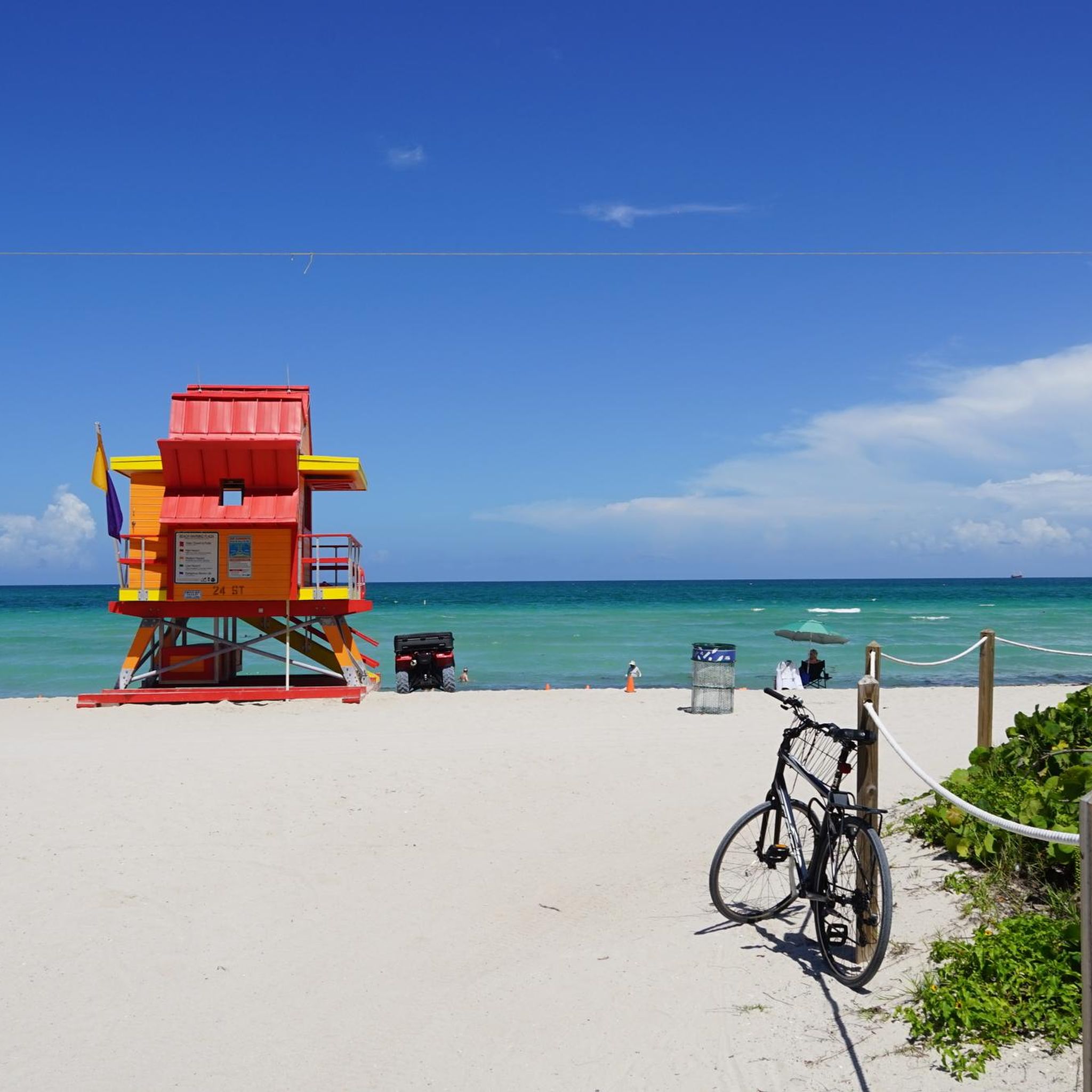
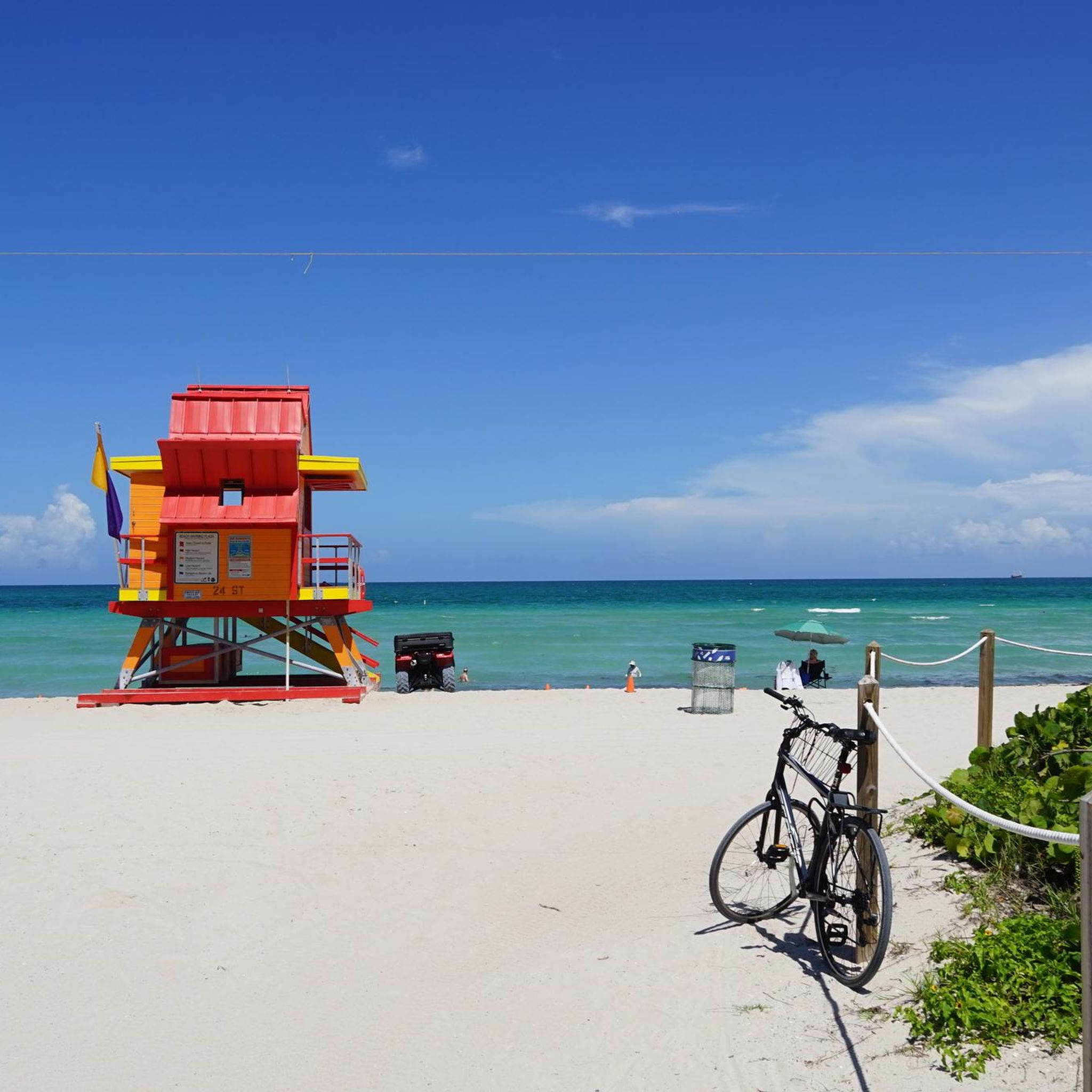
One of the most easily accessible beaches. Bicycles can be locked.
0
0

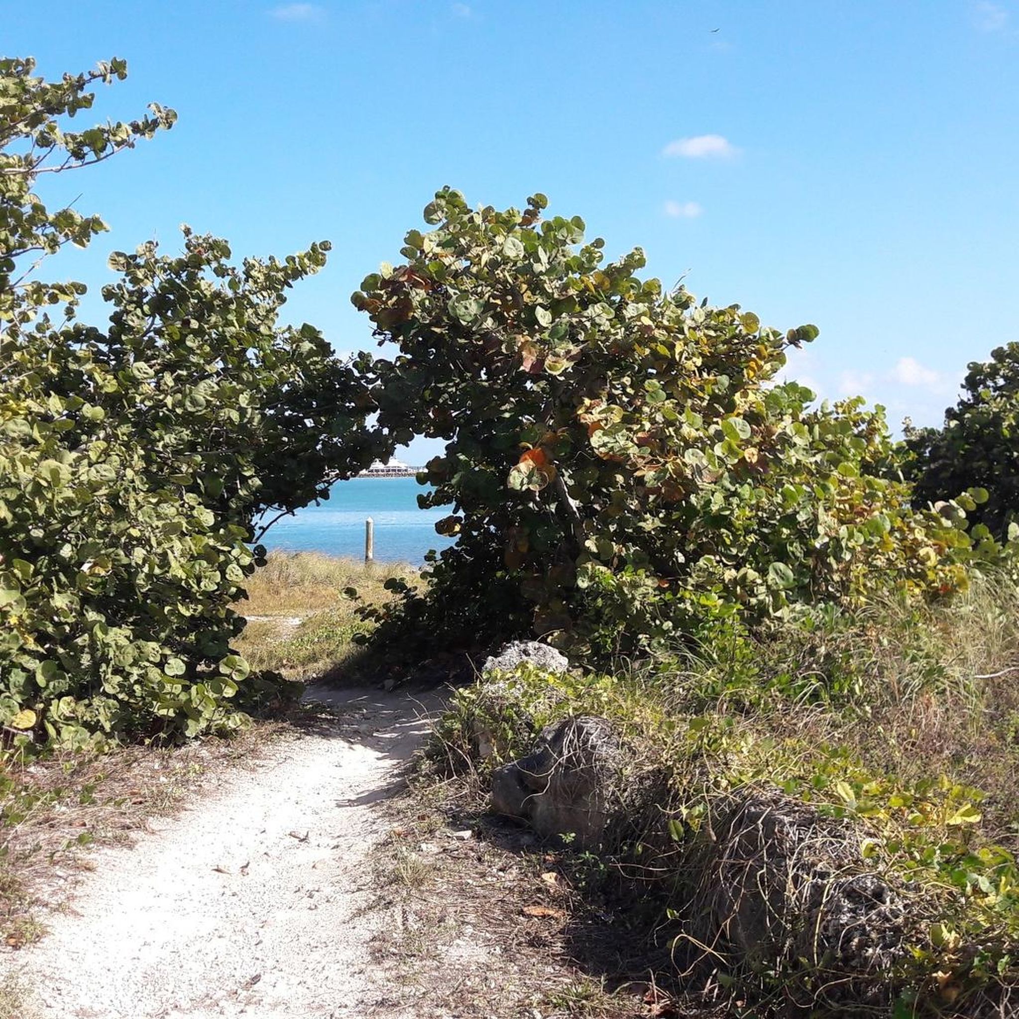
Nice view of the Coral Gables Waterway from the Commodore Trail. The trail is popular with cyclists, walkers, and runners, so if you want to stop to admire the view, make sure you are out of the way of other trail users.
1
0

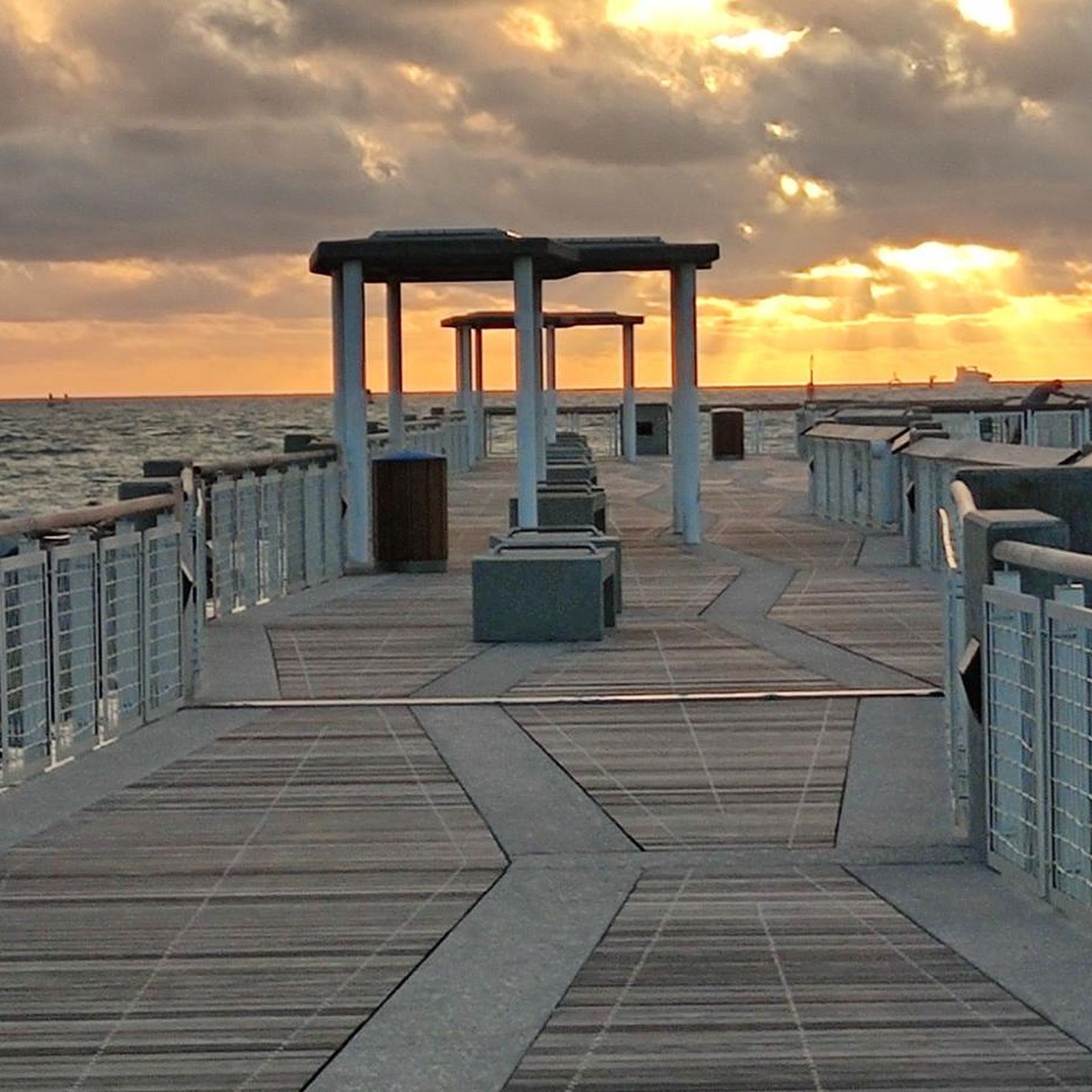
Open all day .
0
0

Frequently Asked Questions
How many road cycling routes are available in Miami?
Miami offers a diverse selection of road cycling routes. There are over 30 routes available, catering to various skill levels. You'll find a good mix, with 20 routes considered easy and 10 routes rated as moderate.
What kind of terrain can I expect on Miami's road cycling routes?
Miami's road cycling routes are characterized by predominantly flat terrain, making them accessible for many cyclists. The region's geography, with its proximity to Biscayne Bay and the Atlantic Ocean, means many routes offer scenic coastal paths and waterfront views. While generally flat, some routes may have minor elevation changes, such as those crossing bridges like the William M. Powell Bridge.
What do other road cyclists enjoy most about cycling in Miami?
The road cycling routes in Miami are highly regarded by the komoot community, with an average rating of 4.8 stars from over 28 reviews. Cyclists frequently praise the stunning coastal views, the well-maintained paths, and the unique experience of riding through diverse landscapes, from urban waterfronts to lush, tree-lined trails.
Are there any family-friendly road cycling routes in Miami?
Yes, Miami offers several family-friendly options, especially given the prevalence of easy routes. The Miami Marine Stadium – William M. Powell Bridge loop from Financial District is an easy 14.3-mile path that provides urban scenery and waterfront stretches, suitable for a leisurely family ride. The flat terrain throughout the region also makes many paths enjoyable for all ages.
Which routes offer opportunities for wildlife spotting?
For unique wildlife spotting, consider routes that venture near natural areas. While not directly listed in our road cycling routes, the nearby Everglades National Park offers the Shark Valley Tram Road, a 15-mile paved loop where cyclists can observe alligators and various bird species. On Key Biscayne, you might spot dolphins, stingrays, and manatees near the coast.
What are some notable landmarks or viewpoints along the road cycling routes?
Many routes offer access to significant landmarks and viewpoints. You can enjoy expansive views of Biscayne Bay from the Biscayne Bay Viewpoint. The Biscayne Bay Viewpoint – William M. Powell Bridge loop from Adrienne Arsht Center crosses the William M. Powell Bridge, offering panoramic vistas. Other routes pass by the Miami Marine Stadium and the historic Torch of Friendship.
Are there any circular road cycling routes in Miami?
Yes, many of Miami's road cycling routes are designed as loops, offering convenient circular journeys. Examples include the Biscayne Bay Viewpoint – William M. Powell Bridge loop from Adrienne Arsht Center and the Old Cutler Trail – Black Creek loop from Adrienne Arsht Center, allowing you to start and end at the same point.
What is the best time of year for road cycling in Miami?
Miami's subtropical climate makes it suitable for road cycling year-round. However, the cooler, drier months from November to April are generally preferred, offering more comfortable temperatures and less humidity. The summer months can be hot and humid, with a higher chance of afternoon thunderstorms, so early morning rides are recommended during this period.
Are there any longer, more challenging road cycling routes for experienced riders?
For experienced riders seeking a longer challenge, the Old Cutler Trail – Black Creek loop from Adrienne Arsht Center is a moderate 46.4-mile trail that takes about 3 hours 7 minutes to complete, leading through lush, tree-lined landscapes. Another option is the View of the Coral Waterway – South Pointe Park Pier loop from Santa Clara, a 46.1-mile moderate route.
Can I find routes that connect to major parks or natural areas?
Absolutely. Many routes in Miami provide access to or pass through significant parks and natural features. For instance, the Old Cutler Trail connects to Matheson Hammock Park and Fairchild Tropical Garden. The Rickenbacker Trail on Key Biscayne leads to Crandon Park and Bill Baggs Cape Florida State Park, offering access to beaches and a historic lighthouse.
Are there road cycling routes with good parking access?
Many popular cycling areas in Miami offer convenient parking. For example, routes around Key Biscayne often have parking available at parks like Crandon Park or Bill Baggs Cape Florida State Park. Urban routes may utilize public parking garages or street parking. For specific routes, it's advisable to check the starting point for parking availability.
What are some unique natural features I can explore while cycling in Miami?
Beyond the coastal views, Miami's natural environment offers unique features. The Everglades National Park, accessible via routes like the Shark Valley Tram Road, is a vast subtropical wilderness. While mostly submerged, Biscayne National Park offers incredible marine life. You can also cycle through areas with magnificent ficus trees and banyans along trails like the Old Cutler Trail, providing a lush, green canopy.
Most popular attractions around Miami

Get inspired with the komoot mobile app


Explore more
Browse the best Road cycling routes in other regions.
