The best walks and hikes around Obersee
4.6
(13749)
69,810
hikers
119
hikes
Hiking around Obersee, located in the Berchtesgadener Land, features a landscape dominated by the lake itself, surrounded by steep mountain slopes and dense forests. The region is characterized by its clear waters, alpine pastures, and dramatic waterfalls. Trails often follow the lake shore or ascend into the surrounding hills, offering varied terrain for hikers.
Best hiking trails around Obersee
- The most popular hiking route is Röthbach Waterfall – Fischunkelalm at Obersee loop from Obersee, a 2.0 miles (3.2 km) trail that takes 1 hour 12 minutes to complete. This difficult route leads to Germany's highest waterfall and a scenic mountain pasture.
- Another top favourite among local hikers is Tour to the Obersee – Barrierefrei hiking trail, an easy 1.3 miles (2.0 km) path. This accessible trail offers gentle gradients along the lake, suitable for a relaxed walk.
- Local hikers also love the Obersee (Upper Lake) – Obersee (Berchtesgaden National Park) loop from Obersee, a 2.9 miles (4.6 km) trail leading through lake shore paths and forest, often completed in about 1 hour 45 minutes.
- Hiking around Obersee is defined by pristine lake views, cascading waterfalls, and alpine forests. The network offers options for various ability levels, from easy, accessible paths to challenging mountain ascents.
- The routes in Obersee are highly rated by the komoot community with an average score of 4.6 stars from over 12,000 reviews. More than 65,000 hikers have used komoot to explore Obersee's varied terrain.
Last updated: August 15, 2026
5.0
(1)
61
hikers
3.29km
01:13
170m
160m
Hard hike. Great for any fitness level. Sure-footedness, sturdy shoes and alpine experience required.
4.5
(11)
180
hikers
2.04km
00:44
10m
10m
Easy hike. Great for any fitness level. Easily-accessible paths. Suitable for all skill levels.

Sign up for free
4.7
(56)
428
hikers
15.6km
07:31
1,070m
1,070m
Hard hike. Very good fitness required. Sure-footedness, sturdy shoes and alpine experience required.
4.7
(7)
31
hikers
Hard hike. Very good fitness required. Sure-footedness, sturdy shoes and alpine experience required.
4.7
(60)
725
hikers
2.01km
00:44
10m
10m
Easy hike. Great for any fitness level. Easily-accessible paths. Suitable for all skill levels.
Get access to more routes and recommendations from other explorers.
Sign up for free
Already have an account?
Our route recommendations are based on thousands of hikes, rides, and runs completed by other people on komoot.
Start today with a free account
Your next adventure awaits.
Login or Signup
Other adventures around Obersee

Tips from the Community

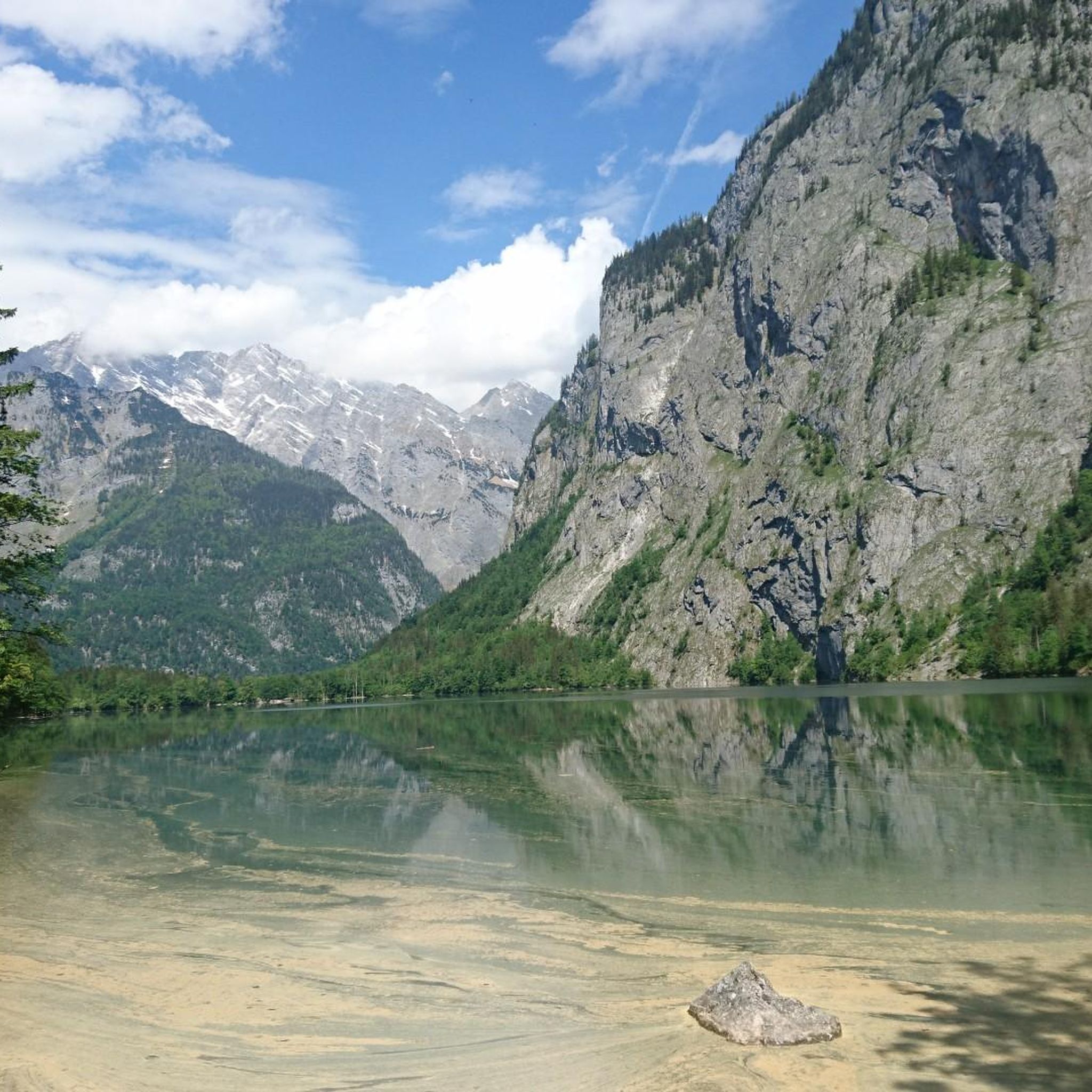
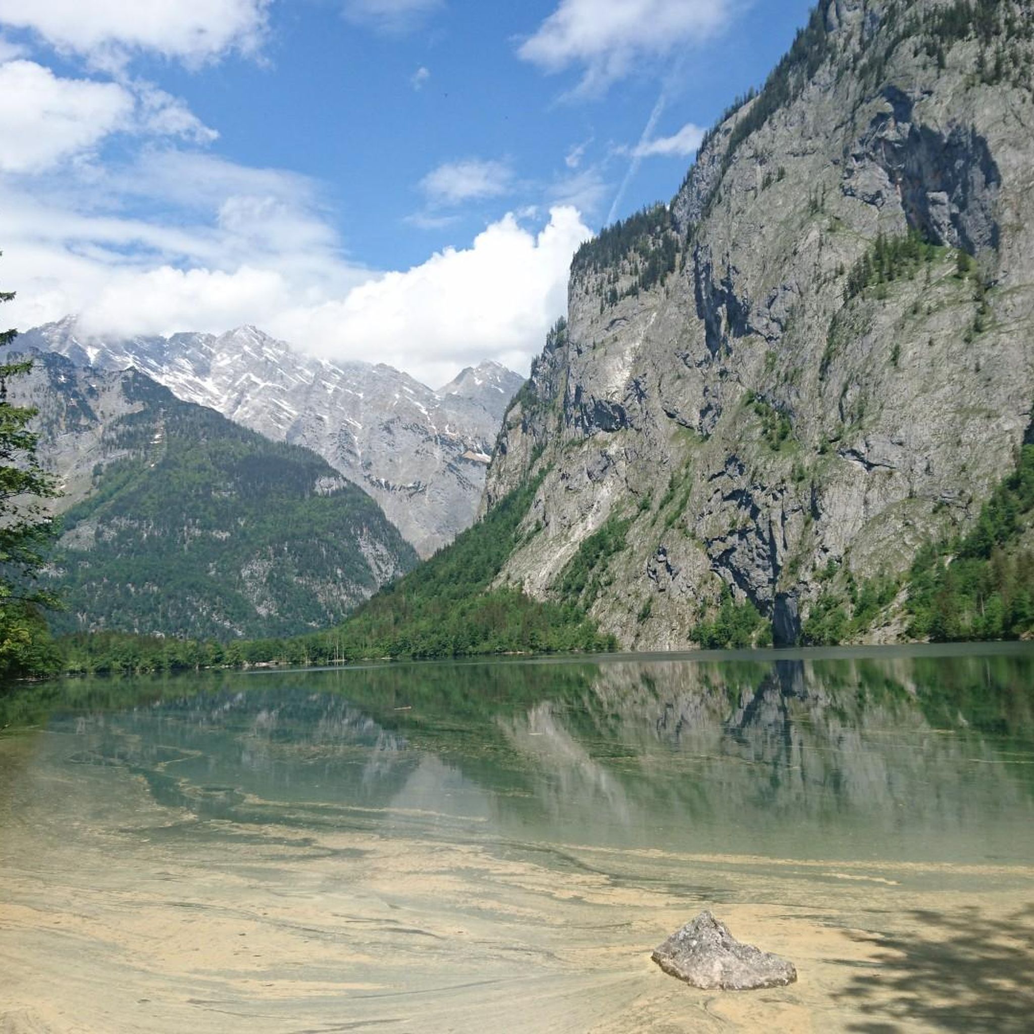
From **Saletufer**, the Königssee reveals one of its most impressive sides. Here, at the southern end of the lake, the mountain world appears particularly majestic. The deep green water reaches right up to the steep rock faces that rise almost vertically into the sky. On windless days, the surrounding peaks are mirrored on the smooth water surface, lending the place an extraordinary tranquility. Standing on the shore of Salet, you gaze upon a lake nestled between the mountains like a Norwegian fjord. Far from the noise of roads, you can often hear only the lapping of the waves, the ringing of cowbells from the Saletalm, and the calls of waterfowl. The clear air and the immense scenery make the dimensions of the Berchtesgaden Alps seem particularly impressive. Especially in the early morning hours, when the first rays of sun illuminate the peaks and fields of mist hover over the water, the Königssee unfolds its full magic. The colours shift from deep blue and green to golden reflections on the water's surface. From Saletufer also begin some of the most beautiful hikes in the Berchtesgaden National Park – to the Obersee, to the Fischunkelalm, or further up towards the Funtensee and Steinernes Meer. For many visitors, Salet is therefore not just a starting point, but one of the places where the beauty of the Königssee can be experienced most intensely. Here, water, forest, and rock meet in an exceptional harmony, creating a landscape that remains long in the memory.
0
0
The **Mooserkaser Alm** is idyllically situated above the Königssee in the Berchtesgaden National Park and is a popular resting place for hikers on their way to the Funtensee or the Kärlingerhaus. Surrounded by lush alpine meadows and the distinctive peaks of the Berchtesgaden Alps, it conveys the image of traditional Bavarian alpine farming. The location of the alm amidst a vast mountain landscape is particularly charming. In summer, cattle graze here on the green pastures, while hikers are offered impressive views of the surrounding mountains. The alm is characterized by a quiet, original atmosphere, which forms a pleasant contrast to the steep and rocky sections of the surrounding mountain trails. For many mountaineers, the Mooserkaser Alm marks a welcome intermediate stop. Here, one can enjoy the tranquility of the National Park before the path leads further into the high alpine world of the "Steinernes Meer" (Sea of Stone). Especially on clear days, the panorama impresses with its rugged limestone walls, green alpine pastures, and the interplay of light and shadow on the mountain slopes. The Mooserkaser Alm is symbolic of the centuries-old alpine tradition in the Berchtesgaden region. It combines cultural landscape and nature in a special way and reminds us how closely alpine agriculture and the mountain world of this region are connected. Those who pass by here experience not only a beautiful resting place, but also a piece of living mountain history.
0
0
Fantastic views, but not recommended in the rain as the trail becomes very dangerously slippery and the drop is extremely steep.
0
0
The **Sagerecksteig** is one of the most impressive mountain climbs in Berchtesgaden National Park. It connects **Salet am Königssee** with the area around Funtensee and the Kärlingerhaus. The trail leads through a wild high-alpine landscape and is considered a demanding route for sure-footed and vertigo-free mountain hikers. Right at the beginning, the path climbs steeply through the rocky **Sagereckerwand**. As the altitude increases, impressive views open up of the Königssee, the surrounding mountains, and the untouched nature of the national park. After the strenuous ascent, the trail proceeds variedly through dwarf pine fields, alpine meadows, and light forest sections. A special highlight of the tour is the **Grünsee**, which the Sagerecksteig passes directly. The emerald-green shimmering mountain lake is nestled in a surprisingly green landscape and forms an attractive contrast to the rugged limestone mountains of the Steinernes Meer. The Sagerecksteig, like hardly any other trail in the Berchtesgaden region, conveys the transition from the deeply incised Königssee landscape to the vast high-alpine world around Funtensee. Those who undertake the tour experience quiet mountain lakes, scenic passages, and pristine nature far from large crowds of visitors. For many mountain hikers, the Sagerecksteig is therefore one of the most beautiful approaches to Funtensee – a demanding but extremely rewarding path through one of the most spectacular landscapes of the Bavarian Alps. The trail is definitely not recommended in the rain. Especially not downhill. We arrived in pouring rain. Better weather had been forecast. On all fours, we had to descend very, very slowly in tiny steps. The muscles eventually gave out.
0
0
The **Grünsee** is one of the quiet jewels of the Berchtesgaden National Park. It lies at an altitude of about **1,474 meters** between Funtensee and Obersee in the so-called **Halsboden** and is overlooked by many hikers, as the better-known Funtensee usually takes center stage. [\['berchtesgaden.de'\]](https://www.berchtesgaden.de/pois/gruensee), [\['regio.outd...active.com'\]](https://regio.outdooractive.com/oar-bgl/de/punkt/see/der-gruensee/804923159/) With an area of just under **4 hectares**, the Grünsee is even slightly larger than the Funtensee. Its name comes from the characteristic emerald-green color of the water and the lush vegetation that surrounds it. The former Grünsee-Alm has now been largely reclaimed by nature, creating an impressive green oasis on the edge of the barren Stone Sea. [\['berchtesgaden.de'\]](https://www.berchtesgaden.de/pois/gruensee), [\['koenigssee.de'\]](https://www.koenigssee.de/gruensee) The contrast between the gentle meadows and the rugged limestone mountains in the surroundings is particularly appealing. On windless days, the rock faces and mountain forests are reflected in the clear water, giving the lake an almost enchanted atmosphere. Despite its beauty, the Grünsee remains comparatively little visited due to its remote location. [\['berchtesgaden.de'\]](https://www.berchtesgaden.de/pois/gruensee), [\['regio.outd...active.com'\]](https://regio.outdooractive.com/oar-bgl/de/punkt/see/der-gruensee/804923159/) Like its neighbor, the Funtensee, the Grünsee is also a so-called **Blindsee** (disappearing lake). Its water disappears underground into the karst rock and finally reaches the Königssee via the Salzgrabenhöhle cave. Research has shown that this underground journey takes at least six hours. [\['berchtesgaden.de'\]](https://www.berchtesgaden.de/pois/gruensee), [\['bing.com'\]](https://bing.com/search?q=Gr%c3%bcnsee+Funtensee+Gr%c3%bcnsee+Berchtesgaden) Anyone traveling on the Sagerecksteig or on the path between Wasseralm and Kärlingerhaus will experience one of the quietest and most original places in the Berchtesgaden Alps at Grünsee – a place where nature still appears largely untouched. [\['berchtesgaden.de'\]](https://www.berchtesgaden.de/pois/gruensee), [\['regio.outd...active.com'\]](https://regio.outdooractive.com/oar-bgl/de/punkt/see/der-gruensee/804923159/)
0
0

Wonderful view from the back of the Königssee towards the front.
0
0


Definitely worth a visit! The exhibition about the national park and the nature surrounding Lake Königssee is very interesting and beautifully designed. 🔝
0
0
Frequently Asked Questions
Are there easy hiking trails suitable for beginners around Obersee?
Yes, Obersee offers several easy trails. A great option is the Tour to the Obersee – Barrierefrei hiking trail, which is 1.3 miles (2.0 km) long and features gentle gradients, making it accessible for a relaxed walk along the lake.
What are some challenging hiking trails around Obersee?
For experienced hikers seeking a challenge, the region offers demanding routes. The Wasseralm Mountain Hut – Obersee (Berchtesgaden National Park) loop from Obersee is a difficult 9.2-mile (14.8 km) trail with significant elevation gain, leading to a mountain hut. Another strenuous option is the Mooserkaser Alm – Grünsee (Berchtesgaden National Park) loop from Obersee, covering 6.1 miles (9.8 km) with over 1000 meters of ascent.
Are there circular hiking routes available around Obersee?
Yes, circular routes are popular around Obersee. The Obersee (Upper Lake) – Obersee (Berchtesgaden National Park) loop from Obersee is a moderate 2.9-mile (4.6 km) path that takes you along the lake shore and through forests, offering beautiful views.
What can I see along the hiking trails around Obersee?
Hikers can discover several points of interest. The Röthbach Waterfall – Fischunkelalm at Obersee loop from Obersee leads to Germany's highest waterfall and the scenic Fischunkelalm. You can also visit the picturesque Boathouse on the south shore of the Obersee or find a tranquil Shady Spot by Lake Obersee.
Are dogs allowed on the hiking trails around Obersee?
Obersee is located within Berchtesgaden National Park, where dogs are generally allowed on trails but must be kept on a leash. Please ensure you clean up after your dog and respect wildlife and other hikers. Always check specific trail regulations before you go.
Are there family-friendly hiking options around Obersee?
Absolutely. Many trails around Obersee are suitable for families. The easy Tour to the Obersee – Barrierefrei hiking trail is a great choice, offering a gentle walk along the lake that is enjoyable for all ages.
When is the best time of year to hike around Obersee?
The best time to hike around Obersee is typically from late spring (May) through early autumn (October). During these months, the weather is generally mild, trails are clear of snow, and the alpine scenery is at its most vibrant. Summer offers warmer temperatures, while spring and autumn provide fewer crowds and beautiful seasonal colors.
Are there opportunities for winter hiking around Obersee?
While some trails may be accessible, winter hiking around Obersee can be challenging due to snow and ice, especially on higher elevation paths. Lower, well-maintained paths might be suitable for winter walks, but always check current conditions, weather forecasts, and avalanche warnings before heading out. Proper winter gear is essential.
Where can I find parking for hiking trails around Obersee?
Access to Obersee is typically via Königssee. Parking is available at the large car park in Schönau am Königssee (Seelände). From there, you take a boat across Königssee to Salet, which is the starting point for hikes to Obersee. There is no direct road access or parking at Obersee itself.
How can I reach Obersee hiking trails using public transport?
Obersee is best reached by combining public transport and a boat trip. Take a bus to Königssee Seelände in Schönau am Königssee. From there, you'll need to take a boat across Königssee to the Salet stop. Obersee is a short walk from the Salet boat landing.
Are there places to eat or get refreshments along the trails?
Yes, there are options for refreshments. The Fischunkelalm, located at the end of Obersee, offers traditional alpine snacks and drinks during the hiking season. Additionally, there are eateries and cafes near the Königssee boat landing at Salet and at St. Bartholomä, which you pass on the boat trip to Obersee.
Which trails offer the best viewpoints of Obersee and the surrounding landscape?
Many trails provide stunning views. The path leading to the Boathouse on the south shore of the Obersee offers iconic perspectives of the lake and its dramatic backdrop. Ascending towards the Fischunkelalm also provides elevated views of the entire Obersee valley.
Can I find less crowded hiking trails around Obersee?
Obersee is a popular destination, especially during peak season. To experience fewer crowds, consider visiting during the shoulder seasons (late spring or early autumn) or on weekdays. Starting your hike early in the morning can also help you enjoy the tranquility before most visitors arrive. Exploring trails further away from the main lake path might also offer more solitude.
Most popular routes around Obersee
Most popular attractions around Obersee

Get inspired with the komoot mobile app


Explore more
Browse the best Hikes in other regions.
