The best running trails around Sleepy Hollow
3.8
(4)
636
runners
76
runs
Jogging around Sleepy Hollow, New York, offers a diverse landscape characterized by historic trails, rolling hills, and scenic waterfronts along the Hudson River. The region features a mix of well-maintained crushed-stone paths, wooded trails, and paved sections, providing varied terrain for all levels. Notable natural features include the Pocantico River, several lakes, and expansive preserves, making it a destination for outdoor activities.
Best jogging routes around Sleepy Hollow
- The most popular jogging route is Goat & Big Cat Trails loop…
Last updated: October 11, 2026
12
runners
11.9km
01:38
400m
400m
Hard run. Very good fitness required. Mostly paved surfaces. Suitable for all skill levels.
11.0km
01:46
680m
670m
Hard run. Very good fitness required. Mostly paved surfaces. Suitable for all skill levels.

15.2km
02:08
660m
660m
Hard run. Very good fitness required. Mostly accessible paths. Some sure footedness required.
5.0
(1)
23
runners
26.8km
03:39
1,060m
1,060m
Hard run. Very good fitness required. Mostly paved surfaces. Suitable for all skill levels.
23
runners
27.7km
03:42
1,050m
1,050m
Hard run. Very good fitness required. Mostly paved surfaces. Suitable for all skill levels.
Get access to more routes and recommendations from other explorers.
Already have an account?
Our route recommendations are based on thousands of hikes, rides, and runs completed by other people on komoot.
Start today with a free account
Your next adventure awaits.
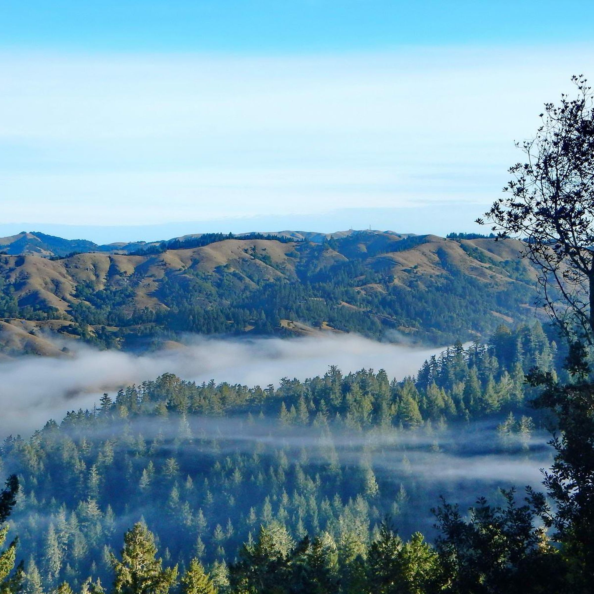
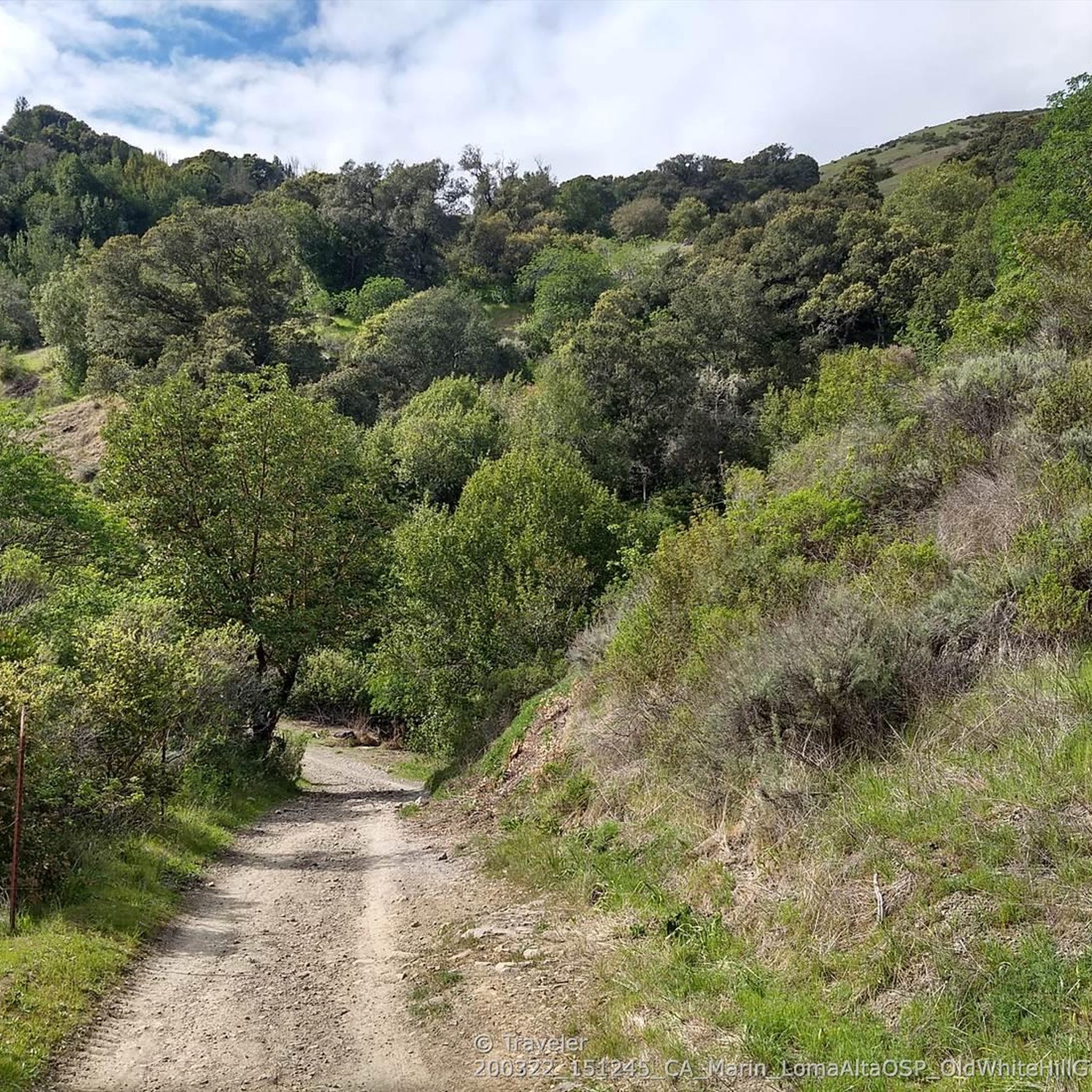
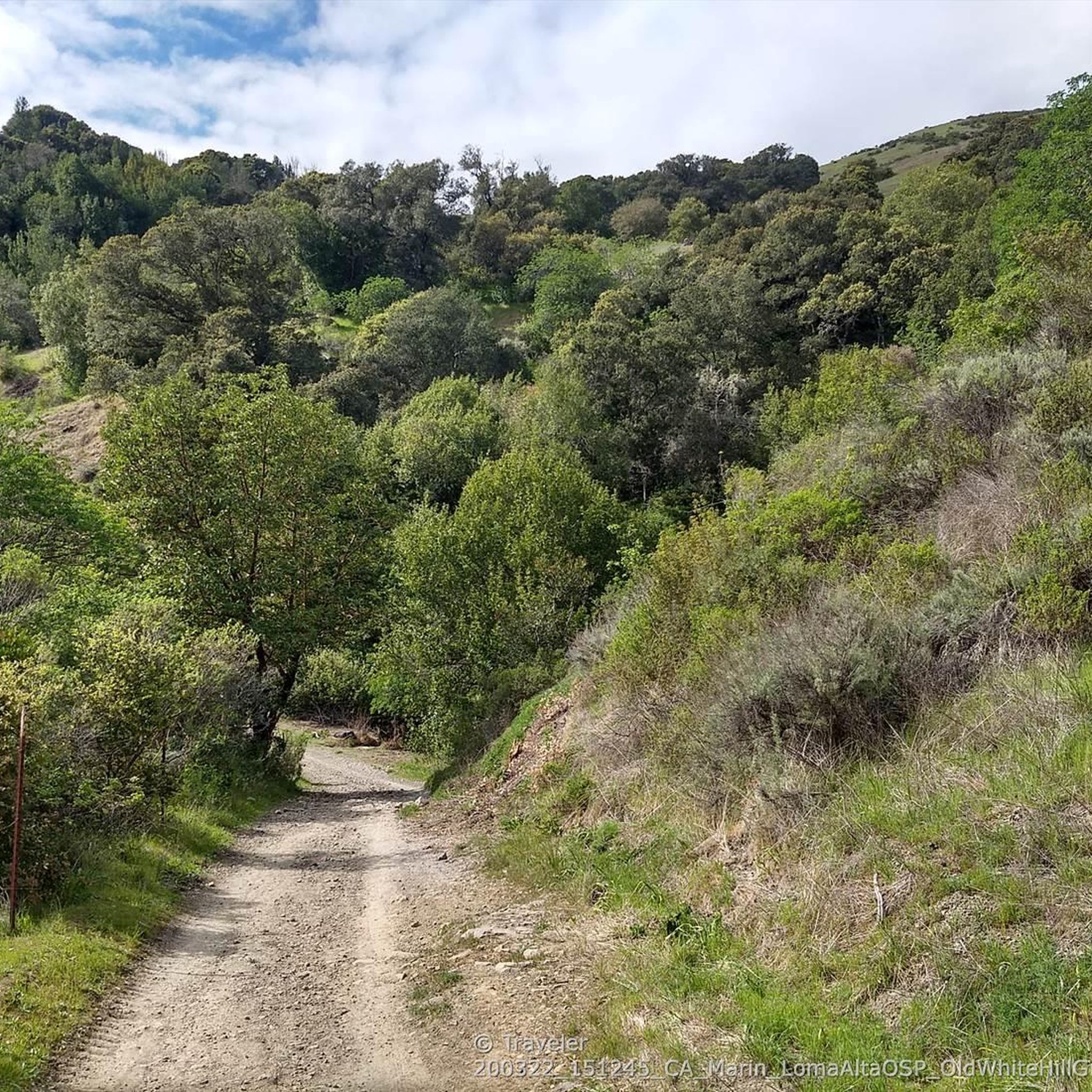
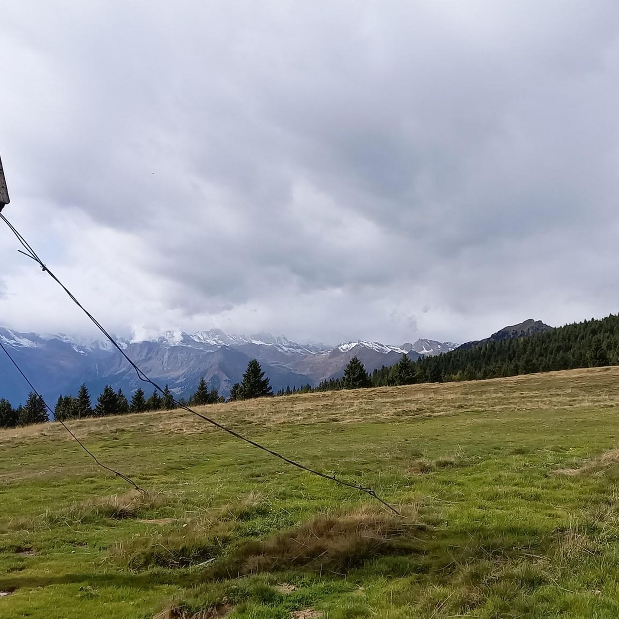
Tips from the Community

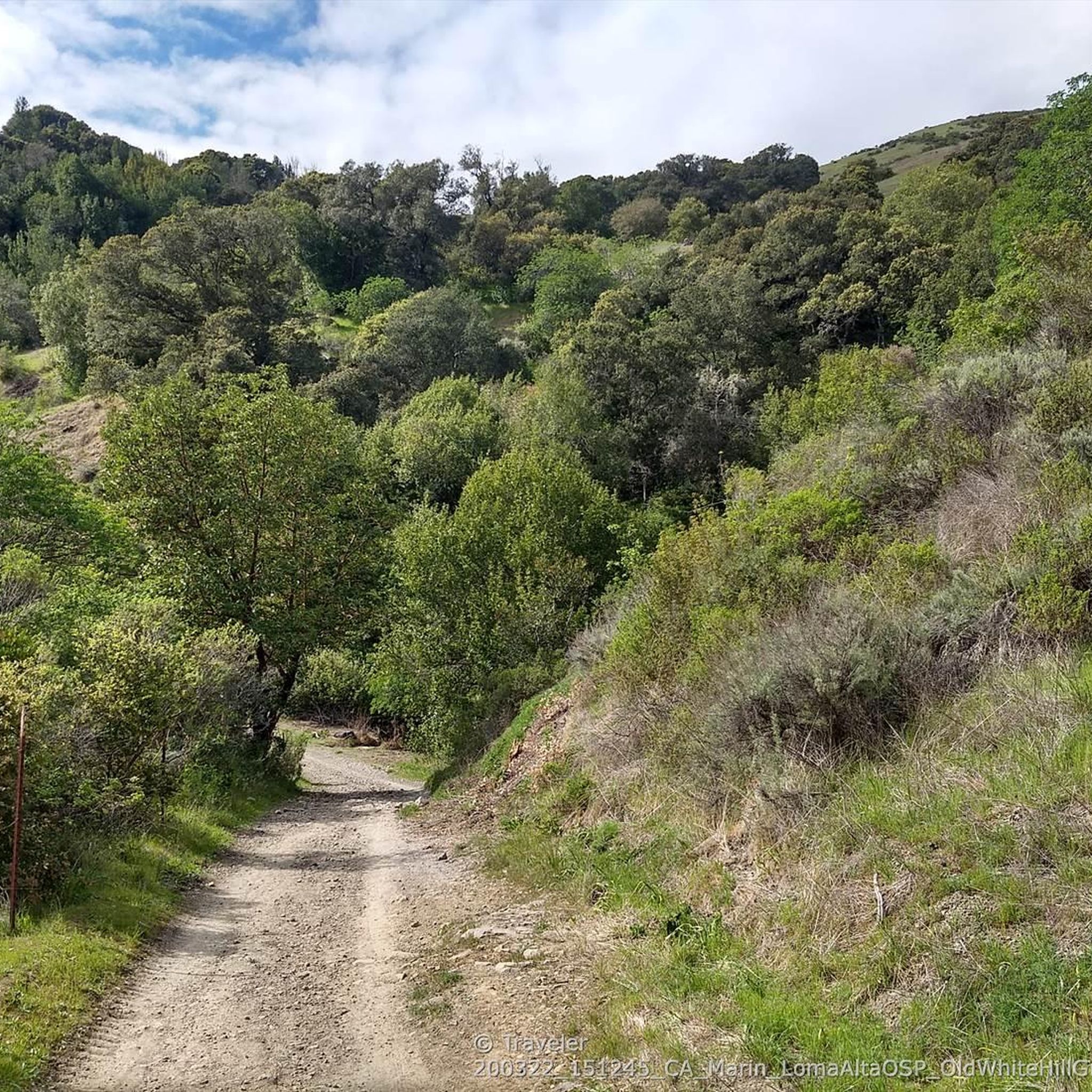
Loma Alta literally translates to "high hill" and is the highest point in the Loma Alta Open Space Preserve. A few different dirt roads and trails lead to the bald summit that looks over the surrounding hillsides.
0
0

This broad, flat fire road climbs gradually with magnificent views of the San Francisco Bay, Mount Tamalpais and Mount Diablo in the distance. The surrounding ridges of the path and many wildflowers along the way offer multiple photo opportunities along the way. The loop at the top is an excellent place to take a break and enjoy the beautiful views.
0
0

Embark on an adrenaline-fueled mountain biking adventure through Big Rock. The trail reaches its peak at the towering landmark, a colossal rock that adds a unique touch to the experience. Exercise caution on the descent; the pavement can get slippery, adding an exhilarating challenge to this thrilling ride.
0
0
Big Rock Ridge, a striking ridge near Novato, California, standing as Marin County's second-tallest peak. Spanning 5 miles from northwest to east, it creates a natural boundary for central and southern Marin County. Named after the rock at the base of Big Rock Trail, this ridge promises awe-inspiring views and invigorating trails.
0
0
This broad, flat fire road climbs gradually with magnificent views of the San Francisco Bay, Mount Tamalpais and Mount Diablo in the distance. The surrounding ridges of the path and many wildflowers along the way offer multiple photo opportunities along the way. The loop at the top is an excellent place to take a break and enjoy the beautiful views
0
0

Big Rock Trail cuts through Lucas Valley Open Space to reach the 2nd highest point in Marin County. From later winter through early summer the hills are verdant green and often covered in wildflowers. Bring plenty of water and a wide brimmed hat if it's a warm day as there is little shade, but this means the views are wide open and beautiful.
0
0
There is plenty of street parking at this trailhead, with the amazing Big Rock nearby to make it easy to spot. The Bay Area Ridge Trail runs along the ridgelines surrounding the San Francisco Bay area and spans over 500 miles of multi-use trails. This portion offers some of the best views of Marin and the city skyline.
0
0

Highest point on Big Rock Ridge Fire Road with panoramic views of the Bay, Marin county, and even across the East bay to Mt. Diablo and south to San Francisco. A short spur trail here leads to a point with slightly better views down over Skywalker Ranch and the Lucas Valley.
0
0
Frequently Asked Questions
What kind of terrain can I expect on the running routes in Sleepy Hollow?
Sleepy Hollow offers a diverse range of running terrain. You'll find well-maintained crushed-stone paths, such as those in Rockefeller State Park Preserve, winding through woodlands and pastures. Other routes feature historic aqueduct trails like the Old Croton Aqueduct Trail, riverfront paths along the Hudson, and some paved sections. This variety ensures options for all preferences and skill levels.
How many running routes are available in the Sleepy Hollow area?
There are over 80 dedicated running routes around Sleepy Hollow listed on komoot. These range from easy strolls to challenging long-distance runs, offering plenty of choices for your next outdoor adventure.
Are there easy or beginner-friendly running routes in Sleepy Hollow?
Yes, Sleepy Hollow has several easy running routes perfect for beginners or those looking for a relaxed jog. There are 8 routes specifically graded as easy, often featuring gentler inclines and well-maintained surfaces. Look for paths around Tarrytown Lakes or sections of the Scenic Hudson Riverwalk for a pleasant experience.
What do other runners enjoy most about jogging in Sleepy Hollow?
The running routes in Sleepy Hollow are highly rated by the komoot community, with an average score of 4.0 stars from over 14 reviews. Runners often praise the scenic beauty, the historic atmosphere, and the variety of trails, from the serene carriage roads of Rockefeller State Park Preserve to the picturesque views along the Hudson River.
Are there challenging running routes for experienced runners in Sleepy Hollow?
Absolutely. For experienced runners seeking a challenge, Sleepy Hollow offers 32 difficult routes. These often feature significant elevation gains and longer distances. For example, the Goat & Big Cat Trails loop — San Rafael is a demanding 6.8-mile route with considerable elevation, while the 680 Trail – Loma Alta Sunrise Fire Road loop from Marin Civic Center is an extensive 32.1-mile option.
Can I find running routes with scenic views or historical landmarks in Sleepy Hollow?
Sleepy Hollow is rich in both scenic beauty and historical significance. Many routes offer stunning views of the Hudson River, especially along the Scenic Hudson Riverwalk and in Kingsland Point Park. You can also run through the historic Sleepy Hollow Cemetery or along the Old Croton Aqueduct Trail, passing landmarks like the Old Dutch Church. For specific points of interest, consider visiting highlights like Cal Park Tunnel & Pathway or Old Railroad Grade Trail (upper half) — Mt Tam.
Are there dog-friendly running trails in Sleepy Hollow?
Many trails in Sleepy Hollow are dog-friendly, provided your pet is kept on a leash. Rockefeller State Park Preserve is a popular choice for runners with dogs, offering wide carriage roads. Always check specific park regulations before heading out, as rules can vary.
Are there family-friendly running options in Sleepy Hollow?
Yes, several routes are suitable for families, offering easier terrain and shorter distances. The wide, crushed-stone paths of Rockefeller State Park Preserve are generally good for families, as are the relatively flat sections of the Old Croton Aqueduct Trail. The trails around Tarrytown Lakes also provide a peaceful, family-friendly environment.
What are the best times of year to go running in Sleepy Hollow?
Spring and fall are generally considered the best times for running in Sleepy Hollow, offering mild temperatures and beautiful scenery, especially with fall foliage. Summer can be warm and humid, so early morning or late evening runs are preferable. Winter running is possible, but trails may be icy or snowy, particularly in wooded areas, so appropriate gear is essential.
Are there circular running routes available in Sleepy Hollow?
Yes, many of the running routes in Sleepy Hollow are designed as loops, allowing you to start and end at the same point. For example, the Civic Center Duck Pond loop from San Rafael is a popular circular option. Rockefeller State Park Preserve also offers numerous interconnected carriage roads that can be combined to create various loop distances.
Where can I find parking for the running trails in Sleepy Hollow?
Parking is available at various trailheads throughout Sleepy Hollow. For Rockefeller State Park Preserve, there are designated parking lots. The Old Croton Aqueduct Trail has access points with street parking or small lots in towns it passes through. Kingsland Point Park and Tarrytown Lakes also offer parking facilities. It's advisable to check specific trail access points for the most convenient parking.
How can I reach the running trails in Sleepy Hollow using public transport?
Sleepy Hollow and nearby Tarrytown are accessible via Metro-North Railroad from Grand Central Terminal in NYC. From the Tarrytown station, you can often walk or take a short taxi/rideshare to access trails like the Scenic Hudson Riverwalk, Kingsland Point Park, and sections of the Old Croton Aqueduct Trail. Some local bus services might also connect to areas near Rockefeller State Park Preserve, though direct access might require a short walk.
Are there any permits or fees required to use the running trails in Sleepy Hollow?
Generally, most public running trails in Sleepy Hollow, such as the Old Croton Aqueduct Trail and the Scenic Hudson Riverwalk, do not require permits or fees for access. However, some parks, like Rockefeller State Park Preserve, may have parking fees, especially on weekends or during peak seasons. Always check the official park websites for the most current information on any potential charges.
Most popular routes around Sleepy Hollow
Most popular attractions around Sleepy Hollow

Get inspired with the komoot mobile app


Explore more
Browse the best Running Trails & Routes in other regions.
