The best cycling routes around Sleepy Hollow
4.6
(376)
3,832
riders
162
rides
Touring cycling around Sleepy Hollow, New York, offers a diverse landscape characterized by the Hudson River Valley and dedicated multi-use trails. The region features relatively flat, hard-packed dirt pathways like the Old Croton Aqueduct Trail, alongside paved road cycling routes with varied elevation gains around areas such as Rockefeller State Park Preserve. Cyclists can experience scenic river views and pass through historic estates and charming riverfront communities. The terrain provides options ranging from gentle linear paths to more challenging routes…
Last updated: October 7, 2026
35
riders
Easy bike ride. Great for any fitness level. Mostly paved surfaces. Suitable for all skill levels.
5.0
(1)
27
riders
34.4km
02:44
450m
450m
Hard bike ride. Very good fitness required. Mostly paved surfaces. Suitable for all skill levels.

17
riders
42.7km
02:35
300m
300m
Moderate bike ride. Good fitness required. Mostly paved surfaces. Suitable for all skill levels.
10
riders
14.0km
01:31
460m
460m
Hard bike ride. Very good fitness required. Mostly paved surfaces. Suitable for all skill levels.
11
riders
23.7km
01:27
210m
210m
Moderate bike ride. Good fitness required. Mostly paved surfaces. Suitable for all skill levels.
Get access to more routes and recommendations from other explorers.
Already have an account?
Our route recommendations are based on thousands of hikes, rides, and runs completed by other people on komoot.
Start today with a free account
Your next adventure awaits.
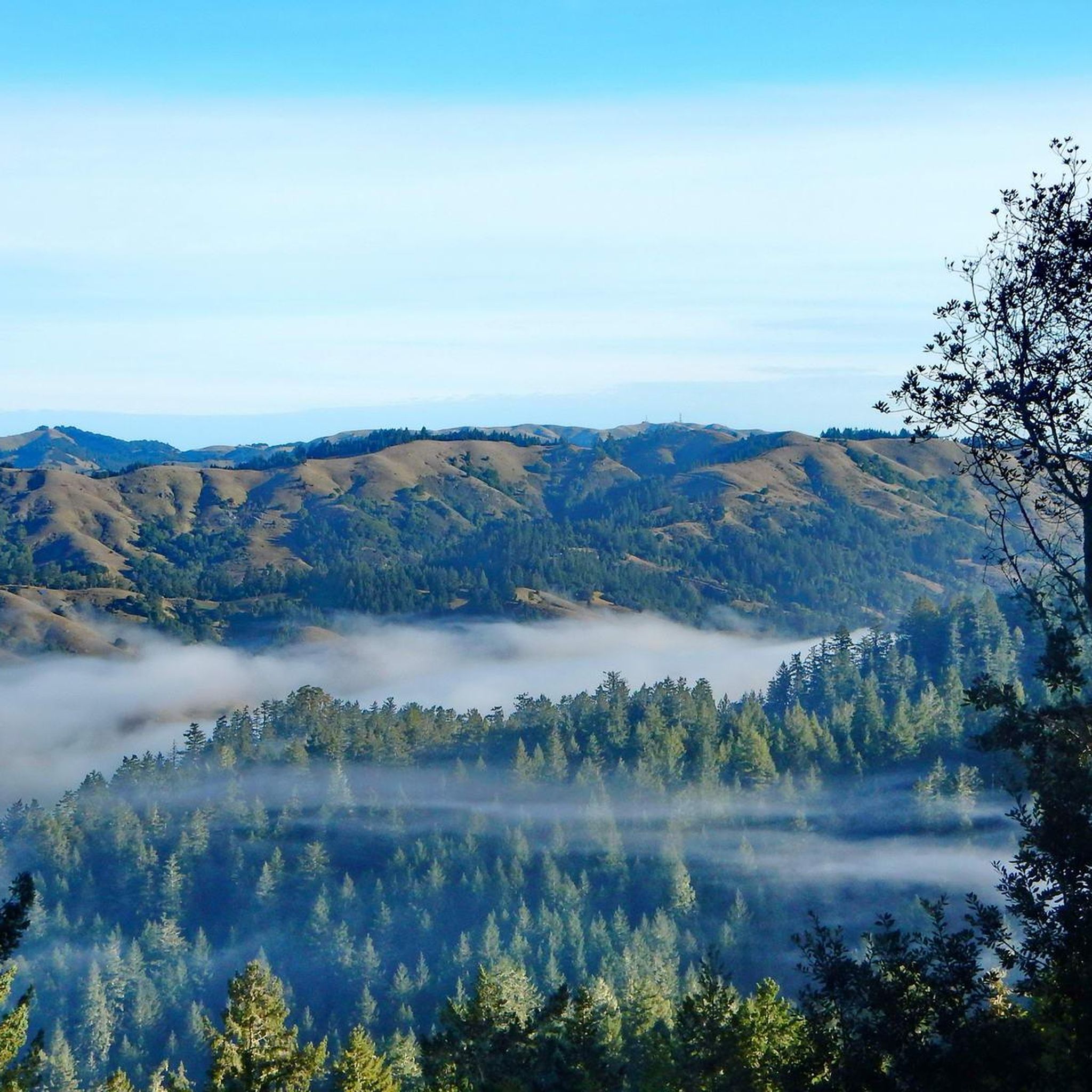
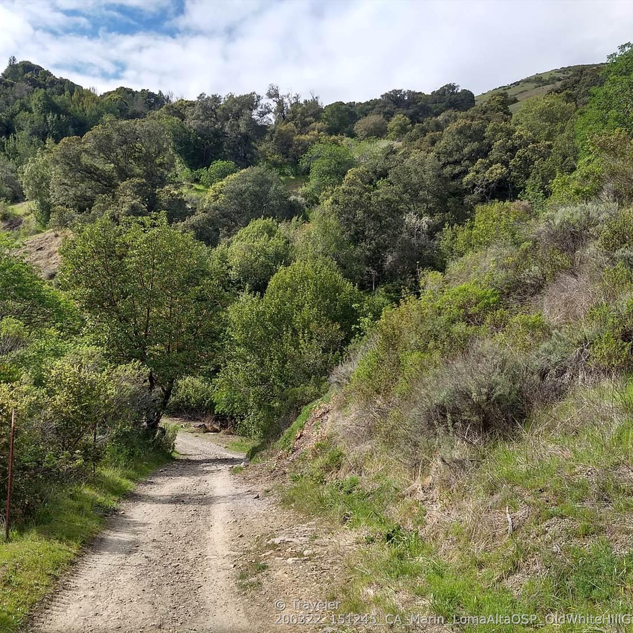
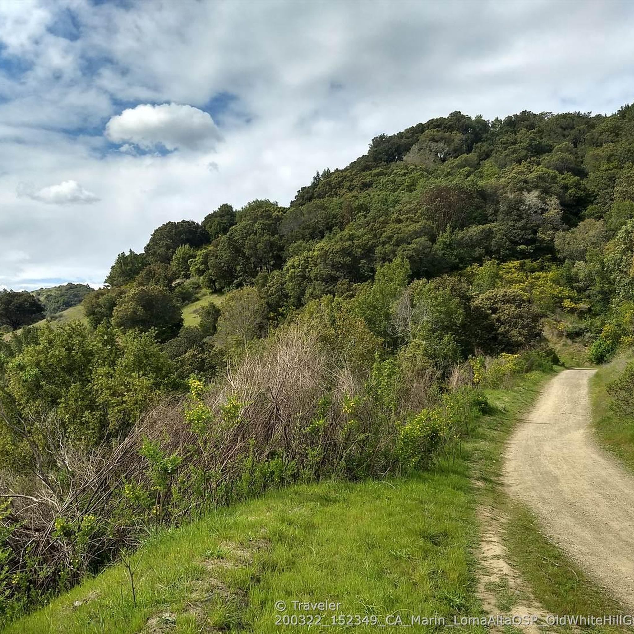
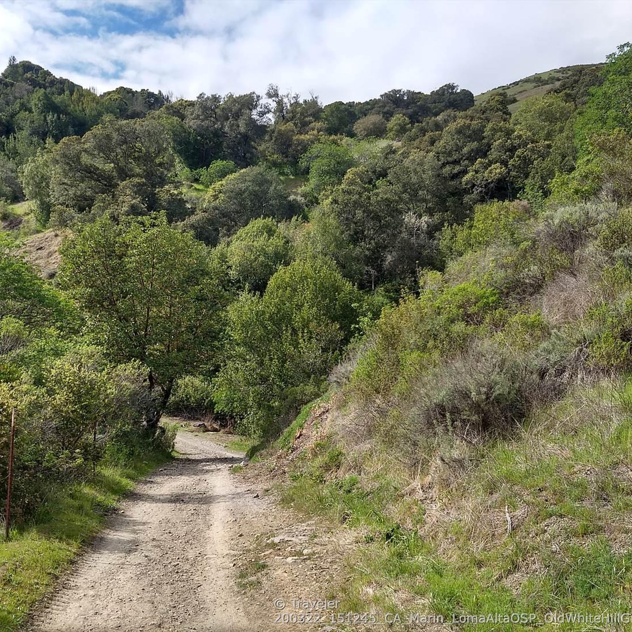
Tips from the Community


The Larkspur Ferry Terminal has several ferries that take you to downtown San Francisco. The ferries are usually every hour, but make sure to check the schedule for any change before you go.
0
0


This paved bike trail runs through the College of Marin Campus along the Corte Madera Creek. This is a great trail for students and commuters, as well as cyclists looking for a traffic-free shortcut through the area.
0
0

Opening this bike tunnel through the renovated trail tunnel as part of the 2010 redeveloped rail connection from Larkspur Ferry to Santa Rosa closed a crucial gap in the bike commute to San Francisco.
0
0

China Camp State Park sits along the shores of San Pablo Bay, with 15 miles of nature trails where hikers and bikers can enjoy panoramic waterfront views, wildlife, oak trees and open meadows. The Park surrounds a historic Chinese-American shrimp fishing village and includes several unique features. A museum is located in the Park to learn about its history, a café for snacks and drinks, a walk-in tent campground and picnic areas.
0
0
This bikeway offers a better alternative to the much busier Center Boulevard, which does not have a shoulder and an even better route than the Sir Francis Drake Blvd highway. Lansdale and San Anselmo Avenues are quiet residential streets that run parallel and provide a pleasant passage through town away from busy traffic.
1
0
This trail runs most of the Park's length near the San Pablo Bay shoreline and winds through its interior, with various options for short or long loops with plenty of connecting trails. If you are relatively quiet, you will see plenty of wildlife throughout the beautiful grounds, such as deer and turkeys. There are plenty of opportunities on the route to capture some photos of the gorgeous redwoods and excellent views of the Bay.
0
0
Frequently Asked Questions
How many touring cycling routes are available in Sleepy Hollow?
There are over 150 touring cycling routes around Sleepy Hollow, offering a diverse range of experiences. These include 38 easy routes, 65 moderate routes, and 54 difficult routes, catering to various skill levels.
What kind of terrain can I expect on touring cycling routes in Sleepy Hollow?
Sleepy Hollow's touring cycling routes feature a varied landscape, from relatively flat, hard-packed dirt pathways like sections of the Old Croton Aqueduct Trail to paved road cycling routes with significant elevation gains, especially around areas such as Rockefeller State Park Preserve. You'll encounter rolling hills, lush forests, and scenic views of the Hudson River.
Are there any family-friendly touring cycling routes in Sleepy Hollow?
Yes, for a gentler experience, the Old Croton Aqueduct Trail offers a relatively flat and historic path suitable for families. While some trails in Rockefeller State Park Preserve are restricted for bikes, the preserve's general tranquility and natural setting are appealing. For specific easy routes, consider options like the Corte Madera Pathway – Corte Madera - Larkspur Path loop from San Anselmo, which is rated as easy.
What are some notable natural features or viewpoints along the touring cycling routes?
Many routes offer stunning vistas of the Hudson River. The region is characterized by rolling hills and forested sections. You can also find highlights like Phoenix Lake and Alpine Dam, which are part of the 'Lakes around Sleepy Hollow' guide. Rockwood Hall, within Rockefeller State Park Preserve, provides panoramic views of the Hudson River.
Are there any long-distance touring cycling routes near Sleepy Hollow?
Yes, for longer rides, the New Croton Reservoir Loop is a popular moderate trail for road cyclists, spanning 39.9 miles (64.2 km). Another option is "The Pine Bridge Monument – Quiet resting spot loop from Tarrytown," a 54.7-mile path. The Old Croton Aqueduct Trail itself extends 26.2 miles from Croton-on-Hudson to the Bronx, offering a substantial linear route.
What do other touring cyclists enjoy most about cycling in Sleepy Hollow?
The area is highly rated by the komoot community, with an average score of 4.6 stars from over 170 reviews. Reviewers often praise the diverse terrain, scenic river views, and the mix of historic charm with natural beauty. Over 3700 touring cyclists have used komoot to explore Sleepy Hollow's varied terrain.
Can I find circular touring cycling routes in Sleepy Hollow?
Yes, many routes are designed as loops. Examples include the challenging Lagoon Park in San Rafael – China Camp State Park loop from Sleepy Hollow, or the moderate Corte Madera - Larkspur Path – Corte Madera Pathway loop from Fairfax. The New Croton Reservoir Loop is also a well-known circular route.
Are there any historical landmarks or attractions accessible by bike?
The region is rich in history. The Old Croton Aqueduct Trail itself is a historic pathway. You can also explore areas near the Sleepy Hollow Cemetery, the Old Dutch Church, and the Pocantico River, which are tied to Washington Irving's legends. Kingsland Point Park, located on the Hudson River waterfront, is another scenic spot near the Sleepy Hollow Lighthouse.
What are the options for parking when accessing touring cycling routes?
Parking is available at various access points for popular trails. For instance, you can find parking near the Old Croton Aqueduct Trail and Rockefeller State Park Preserve. Specific parking details often depend on the exact starting point of your chosen route.
Is public transport an option to reach touring cycling routes in Sleepy Hollow?
Yes, public transport can be used to access some routes. The Old Croton Aqueduct Trail, for example, passes through Sleepy Hollow and Tarrytown, which are accessible by public transportation. Check local transit schedules for the most convenient access points to your desired route.
Are there any cafes or places to refuel along the touring cycling routes?
While specific cafes directly on every route may vary, the towns of Sleepy Hollow and Tarrytown offer various establishments where you can refuel. For example, Splitrock Tap & Wheel is listed as a cafe highlight in the 'Bike Parks around Sleepy Hollow' guide, indicating cycling-friendly spots exist.
Most popular routes around Sleepy Hollow
Most popular attractions around Sleepy Hollow

Get inspired with the komoot mobile app


Explore more
Browse the best Cycling routes in other regions.
