The best running trails around Université Pepperdine
4.0
(1)
235
runners
17
runs
Jogging around Université Pepperdine offers diverse terrain, from coastal paths along the Pacific Ocean to challenging trails within the Santa Monica Mountains. The region is characterized by its dramatic bluffs, canyons, and varied elevation changes, providing a dynamic environment for runners. On-campus routes, including those around Alumni Park and up to the Drescher campus, offer both flat sections and significant climbs with ocean views. Nearby beaches like Zuma Beach and Ralphs Beach provide flat, sandy running surfaces, while numerous canyon…
Last updated: July 1, 2026
70
runners
23.0km
02:56
830m
830m
Embark on the Century lake and Mesa Peak loop from Calabasas for a challenging jogging experience through the Santa Monica Mountains National Recreation Area. This difficult route spans 14.3 miles…
27
runners
10.3km
01:13
170m
170m
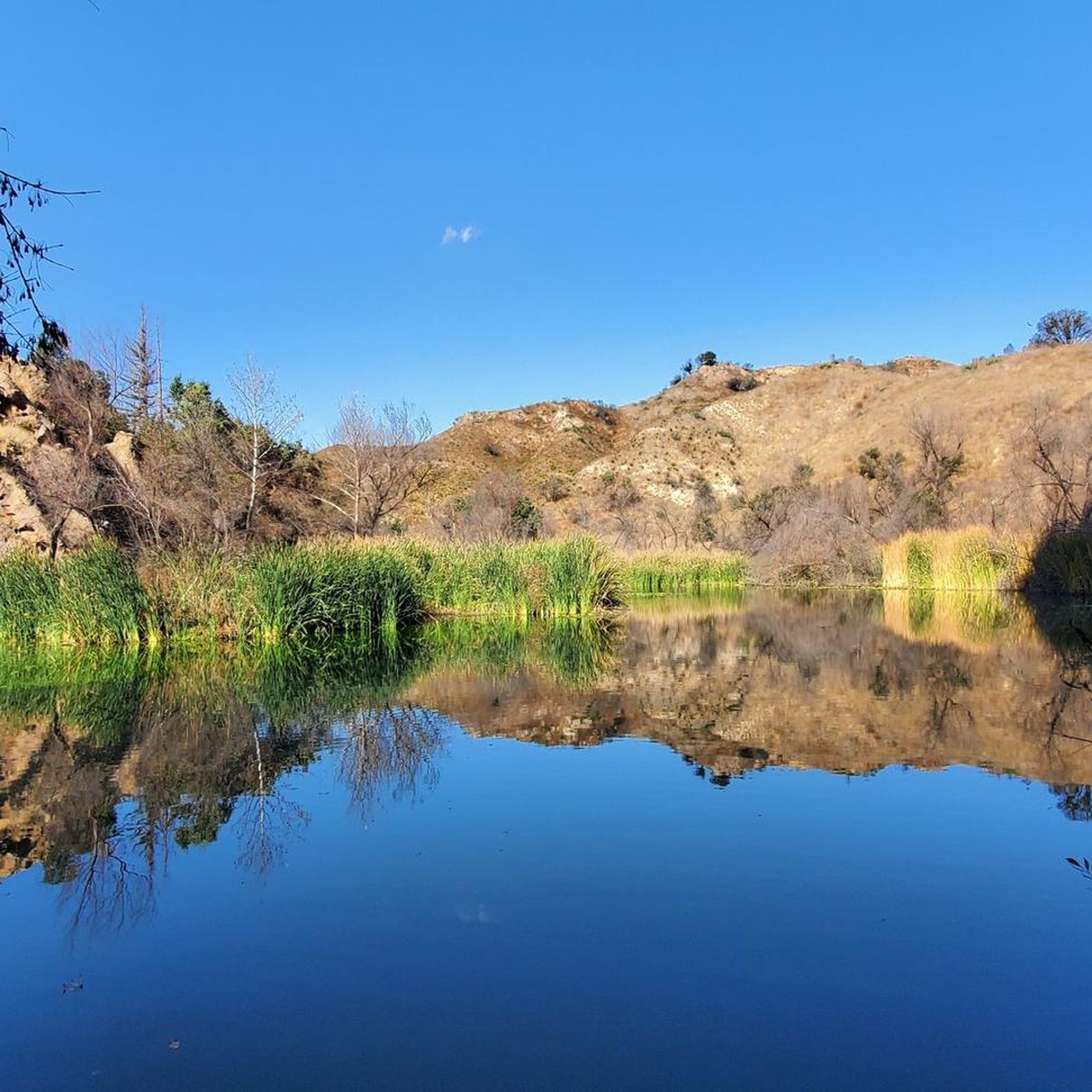
Embark on the Crags Road and High Road Loop for a moderate jogging experience through Malibu Creek State Park. This route spans 6.4 miles (10.3 km) and involves a total…

Sign up for free
13
runners
4.80km
00:40
200m
200m
Moderate run. Good fitness required. Mostly paved surfaces. Suitable for all skill levels.
4.0
(1)
8
runners
3.95km
00:30
170m
170m
If you are looking for a quick yet rewarding jogging experience, the Corral Canyon Loop Trail offers spectacular ocean and mountain views, including panoramic vistas of the Malibu coastline. This…
9
runners
5.73km
00:44
130m
130m
Embark on a moderate jogging route along the Escondido Canyon Trail, covering 3.6 miles (5.7 km) with an elevation gain of 435 feet (133 metres). You can expect to complete…
Get access to more routes and recommendations from other explorers.
Sign up for free
Already have an account?
Our route recommendations are based on thousands of hikes, rides, and runs completed by other people on komoot.
Start today with a free account
Your next adventure awaits.
Login or Signup
Popular around Université Pepperdine

Tips from the Community

The Grasslands Trail is exactly what the name advertises: A nice, firm track through grassy meadows and a profusion of wildflowers in season. You won't find a lot of shade on this trail, but there are more trees — and a lot more shade — as you go farther into the park.
0
0

This beautiful 2.5-mile trail climbs through untouched wilderness to the Puerco Canyon through coastal sage scrub, native grasslands, and the riparian corridor of Corral Creek. Along the way, there are stunning ocean and mountain views. At 646m, a junction leads to the Puerco Canyon Motorway Connector Trail, which leads to the Cameron Nature Preserve at Puerco Canyon, offering several trails and scenic vistas if you want to extend your route.
0
0
This trailhead, adjacent to the Malibu Seafood Market, marks the beginning of a 2.5-mile loop trail that climbs to the Puerco Canyon. Parking is $12, or you can choose public transit. There is an MTA bus stop at the park entrance. Restrooms, a picnic table area, sitting benches and educational displays are here. During the spring and early summer, beautiful wildflowers cover the hillsides with fantastic ocean views. This trail is known to be very overgrown, so wearing long pants and sturdy footwear is ideal for a better experience. There is minimal shade along the way, so bringing a hat and plenty of water is recommended.
0
0
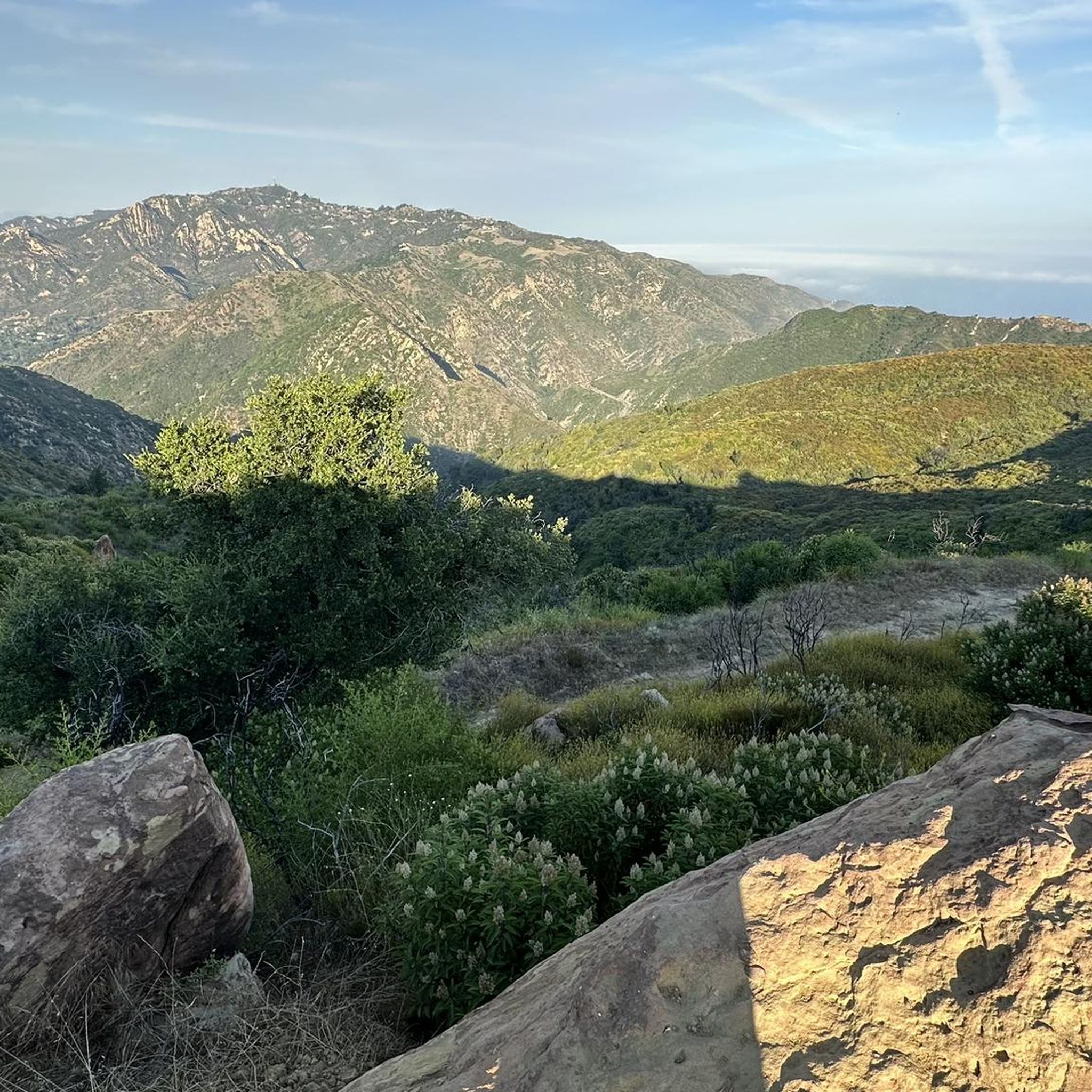
The views of the canyon, the Pacific Ocean and the city of Malibu below are majestic. There are many beautiful purple and yellow wildflowers in the spring. It is an excellent setting for panoramic photos of the stunning green mountains and ocean scenery.
0
0

This is part of the 67-mile-long Backbone Trail that traverses the beautiful Santa Monica Mountains. The trail crosses some of the best-protected stretches of coastal Mediterranean habitat in the world. This section has some stunning sandstone rock formations and great views of the Santa Monica Mountain Range. This part of the Backbone Trail is rough and is best done on a gravel bike with 40mm+ tires.
0
0
This trail is called the Castro Peak Motorway but don't think it is paved in any way, far from it. The road runs near the crest of the Santa Monica Mountains connecting the Backbone Trail and the Bulldog Motorway. There are excellent views of the surrounding mountains, especially to the North. The trail is particularly sunny so watch out for rattlesnakes. As stated this is not a paved section of trail so it is best done on a good gravel bike with 40mm+ tires.
0
0
A beautiful spot with great views looking out over the Pacific Ocean and down over the nearby rolling hills that lead into Malibu.
0
0
This is part of the 67-mile-long Backbone Trail that traverses the beautiful Santa Monica Mountains. The trail crosses some of the best-protected stretches of coastal Mediterranean habitat in the world. This section has some stunning sandstone rock formations and great views of the Santa Monica Mountain Range.
0
0
Frequently Asked Questions
How many running routes are available around Université Pepperdine?
There are over 15 dedicated running routes around Université Pepperdine, offering a variety of terrains and distances. These include coastal paths, campus trails, and challenging mountain ascents within the Santa Monica Mountains.
Are there easy or beginner-friendly jogging routes near Pepperdine University?
Yes, for those seeking an easier run, the campus itself offers various paths, including those around Alumni Park. Additionally, nearby beaches like Zuma Beach provide flat, sandy surfaces ideal for beginners. While the guide highlights more moderate to difficult trails, there are options for all levels.
What kind of challenging running routes can I find in the area?
For experienced runners looking for a challenge, the Santa Monica Mountains offer routes with significant elevation gain. A notable difficult route is the Century lake and Mesa Peak loop from Calabasas, which spans 14.3 miles and features substantial climbs.
Are there any running trails with scenic views or landmarks?
Absolutely. The region is renowned for its panoramic ocean vistas. Running up to the Drescher campus or along routes that offer views of the Pacific Ocean provides spectacular scenery. Trails like Solstice Canyon Loop also offer natural beauty and historical ruins. You can also find scenic spots like Point Dume Overlook nearby.
Can I find loop running routes around Université Pepperdine?
Yes, several routes are designed as loops, allowing you to start and finish in the same location. Examples include the Crags Road and High Road Loop and the Solstice Canyon Loop, which are popular choices for their varied terrain and scenic beauty.
What attractions or points of interest can I see while running?
Many routes offer access to natural attractions. For instance, you might encounter Century Lake or Malibu Lagoon State Beach. Solstice Canyon features historical ruins and a seasonal waterfall. The area also boasts viewpoints like Point Dume Overlook.
Are there dog-friendly running trails near Pepperdine University?
While specific dog-friendly regulations vary by park and trail, many trails in the Santa Monica Mountains National Recreation Area generally allow dogs on leash. It's always best to check the specific rules for each trail or park before heading out with your canine companion.
Is there public transport access to running trails in Malibu?
Public transport options directly to trailheads can be limited in the Malibu area due to its natural, spread-out landscape. Most runners typically rely on personal vehicles. However, some routes might be accessible via local bus services with a short walk to the trailhead. Checking local transit schedules for specific trail access points is recommended.
Where can I find parking for running routes near Pepperdine University?
Parking availability varies by trailhead. Many popular trailheads in the Santa Monica Mountains, such as those for Solstice Canyon or Malibu Creek State Park, offer designated parking lots. On-campus routes at Pepperdine University also have parking facilities. Some beach access points, like Zuma Beach, provide extensive parking. Always check for parking fees or restrictions before your visit.
What do other runners enjoy most about jogging around Université Pepperdine?
The area is highly rated by the komoot community, with an average score of 4.0 stars from more than 1 review. Runners frequently praise the diverse terrain, from challenging mountain climbs to serene coastal paths, and the breathtaking ocean views that accompany many of the routes. The natural beauty and varied options for all skill levels are often highlighted.
Are there any running routes that are particularly good for families?
For families, routes with gentler terrain and shorter distances are ideal. The paths within Alumni Park on the Pepperdine campus offer a pleasant, controlled environment. Additionally, the flat, wide expanse of Zuma Beach is excellent for family runs, providing plenty of space and a scenic backdrop.
What is the best time of year to go running in Malibu?
Malibu offers excellent running conditions year-round due to its mild Mediterranean climate. Spring and fall are particularly pleasant with moderate temperatures. Summer can be warm, especially inland, so early morning or late afternoon runs are recommended. Winter provides cooler temperatures, which many runners prefer, though occasional rain showers can occur.
Are there any shaded running trails for warmer days?
Yes, for warmer days, trails within the canyons, such as Solstice Canyon, often provide more shade from trees and canyon walls compared to exposed coastal or ridge trails. Malibu Creek State Park also features sections with good tree cover, offering a cooler running experience.
Most popular routes around Université Pepperdine
Most popular attractions around Université Pepperdine

Get inspired with the komoot mobile app


Explore more
Browse the best Running Trails & Routes in other regions.
