The best running trails around Larkfield-Wikiup
595
runners
36
runs
Jogging around Larkfield-Wikiup offers a variety of routes through parklands and along natural waterways. The region features trails with gentle inclines and some more challenging paths with moderate elevation changes, often leading through areas with ponds and creek banks. Runners can explore routes within regional parks and along local green spaces. The landscape provides a mix of open areas and shaded sections, suitable for different running preferences.
Best jogging routes around Larkfield-Wikiup
- The most popular jogging route is Running loop…
Last updated: August 19, 2026
14
runners
7.85km
00:48
20m
20m
Moderate run. Good fitness required. Mostly paved surfaces. Suitable for all skill levels.
4
runners
7.05km
00:44
60m
60m
Moderate run. Good fitness required. Mostly paved surfaces. Suitable for all skill levels.

Sign up for free
6
runners
6.16km
00:48
160m
150m
Moderate run. Good fitness required. Mostly paved surfaces. Suitable for all skill levels.
6
runners
26.0km
02:44
140m
140m
Hard run. Very good fitness required. Mostly paved surfaces. Suitable for all skill levels.
8
runners
12.9km
01:37
300m
300m
Moderate run. Good fitness required. Mostly paved surfaces. Suitable for all skill levels.
Get access to more routes and recommendations from other explorers.
Sign up for free
Already have an account?
Our route recommendations are based on thousands of hikes, rides, and runs completed by other people on komoot.
Start today with a free account
Your next adventure awaits.
Login or Signup

Tips from the Community

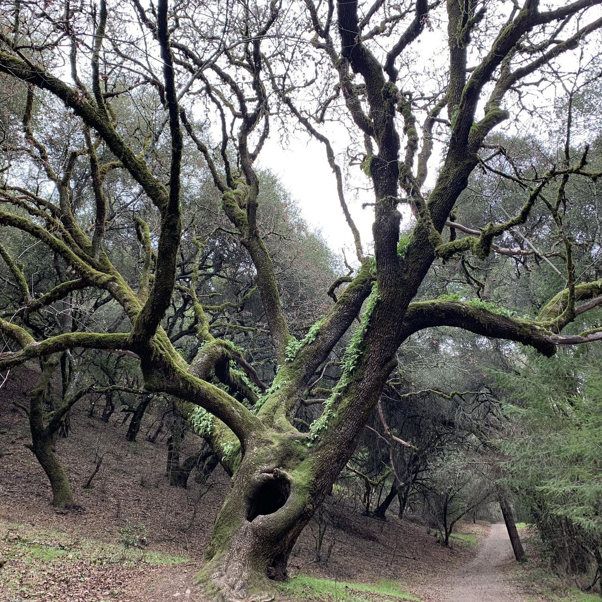
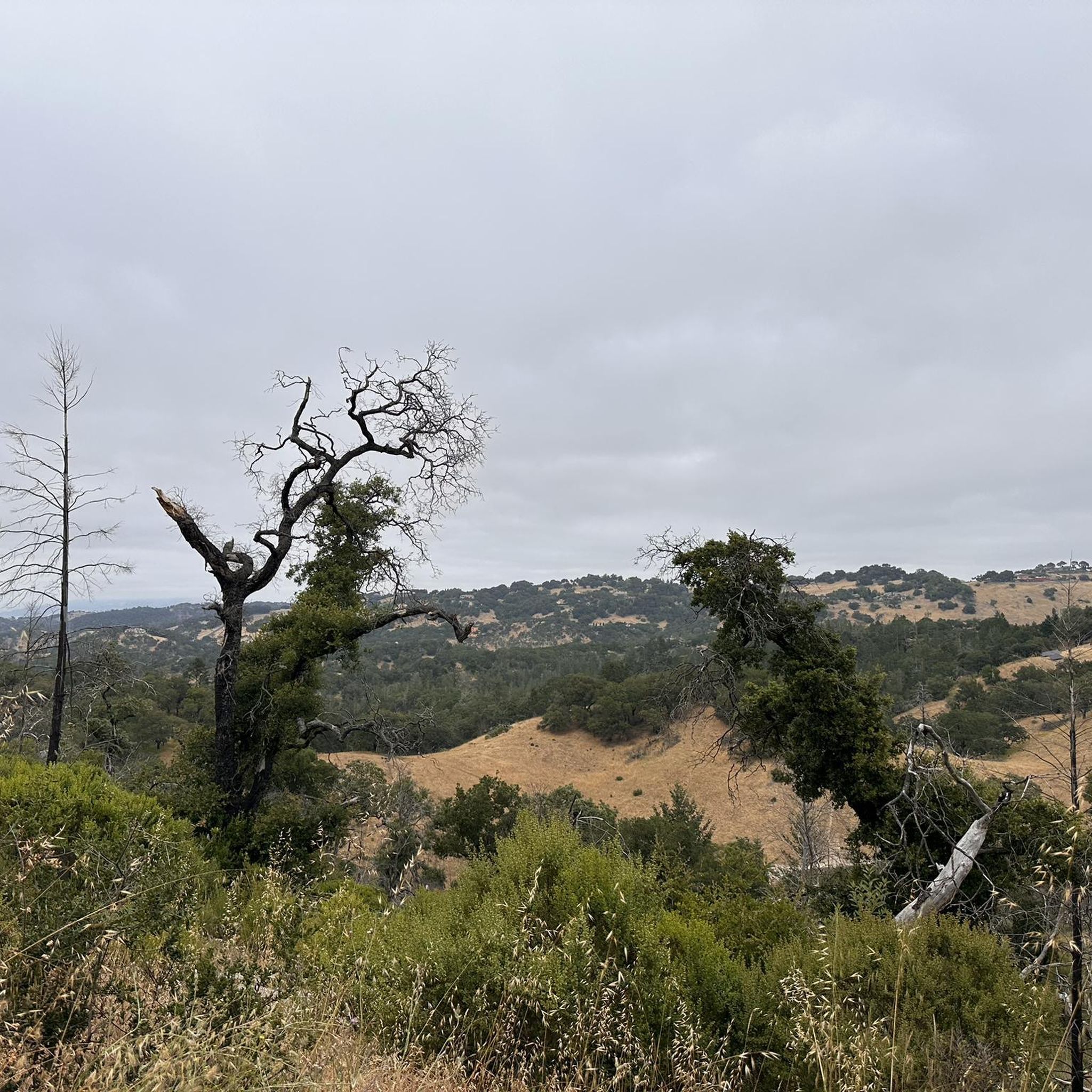
This viewpoint is situated where the Montebello Trail and the South Ridge Trail meet. It's a great spot to take a little break on one of the benches and enjoy the views of the Shiloh Ranch Regional Park.
0
0

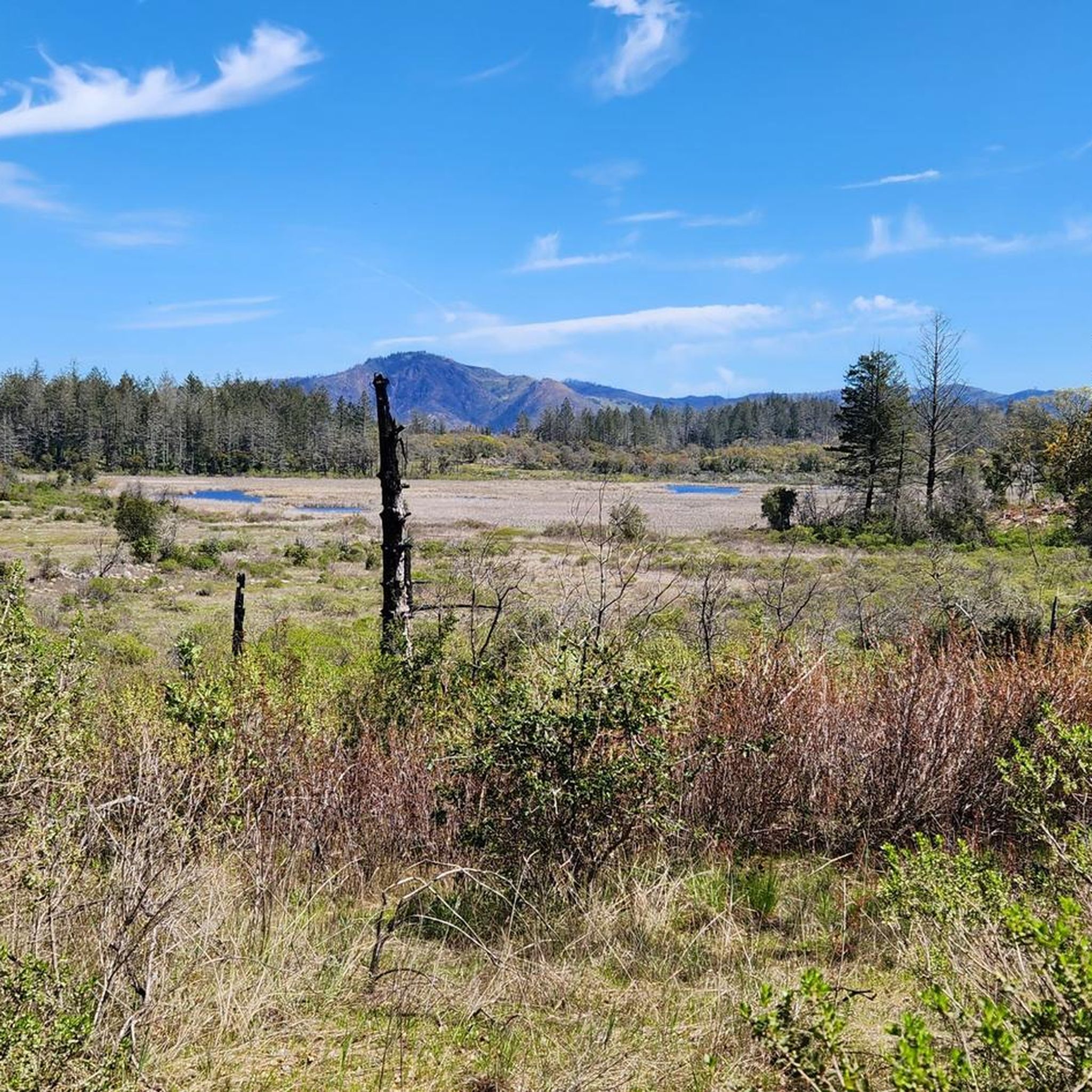
This 211-acre wilderness park sits at the foot of the Mayacamas Mountains. It contains several ponds and almost 7 miles of trails, ranging from easy flat-land to challenging uphills.
0
0
The Shiloh Ranch Regional Park in Sonoma County, California spans over 850 acres and offers a variety of recreational activities such as hiking and biking. The park features diverse landscapes, including oak woodlands, grassy meadows, and riparian areas.
0
0
This viewpoint is situated where the Montebello Trail and the South Ridge Trail meet. It's a great spot to take a little break on one of the benches while hiking the area and enjoy the views of the Shiloh Ranch Regional Park.
0
0
This 211-acre wilderness park sits at the foot of the Mayacamas Mountains. It contains several ponds and almost 7 miles of walking trails, ranging from easy flat-land hikes to challenging uphills.
0
0
Frequently Asked Questions
How many running routes are available in the Larkfield-Wikiup area?
Larkfield-Wikiup offers over 30 dedicated running routes. These range from easy paths to more challenging trails, catering to various fitness levels.
Are there easy jogging routes suitable for beginners in Larkfield-Wikiup?
Yes, Larkfield-Wikiup has several easy jogging routes perfect for beginners. The region features trails with gentle inclines and paths through parklands, offering a comfortable introduction to running in the area.
Can I find longer distance running trails in the Larkfield-Wikiup area?
Absolutely. For those looking for a longer run, the Foothill Regional Park loop from Windsor is a great option, covering 6.9 miles (11.1 km) through varied parkland scenery.
Are there running trails around Spring Lake Park?
Yes, Spring Lake Park is a popular spot for runners in the area, offering trails that wind around the lake and through its surrounding natural spaces. It's a great place for a scenic run.
Is parking available at the trailheads for running routes in Larkfield-Wikiup?
Many running routes in Larkfield-Wikiup, such as the Running loop from Horse Trailer Parking, have designated parking areas at or near their starting points, making access convenient for runners.
What kind of scenery can I expect on the jogging routes in Larkfield-Wikiup?
Jogging routes in Larkfield-Wikiup offer a diverse landscape, including parklands, natural waterways, and creek banks. You'll find a mix of open areas and shaded sections, with some trails featuring ponds and gentle hills.
Are there any circular running routes in Larkfield-Wikiup?
Yes, many of the running paths in Larkfield-Wikiup are designed as loops, allowing for continuous runs without retracing your steps. Examples include the Running loop from Pond A and the Running loop from Santa Rosa Junior College.
What do other runners enjoy most about jogging in Larkfield-Wikiup?
The running routes in Larkfield-Wikiup are highly rated by the komoot community, with an average score of 4.0 stars. Runners often praise the varied terrain, from gentle park paths to more challenging trails with moderate elevation changes, and the scenic beauty along creek banks and through regional parks.
Are there any interesting landmarks or attractions along the running trails?
While running, you might encounter natural highlights like the Canyon Trail in Annadel State Park or enjoy the riparian areas along the Santa Rosa Creek Trail. The region's trails often lead through scenic parklands and past local points of interest.
What are the typical trail conditions for running in Larkfield-Wikiup?
The trails in Larkfield-Wikiup generally feature well-maintained surfaces suitable for running. You'll find a mix of paved sections, dirt paths, and gravel, often leading through parklands and along natural waterways. Conditions can vary with weather, so checking local reports is always a good idea.
Are there any running routes that follow creek banks?
Yes, the Santa Rosa Creek banks loop from Santa Rosa North is a popular 4.9-mile (7.8 km) trail that specifically follows the riparian areas along the creek, offering a refreshing and scenic running experience.
Can I find challenging running trails in Larkfield-Wikiup?
While many routes offer gentle terrain, Larkfield-Wikiup also provides more challenging running trails with moderate elevation changes. These routes often feature rolling terrain and some climbs, perfect for runners looking to push their limits.
Most popular attractions around Larkfield-Wikiup

Get inspired with the komoot mobile app


Explore more
Browse the best Running Trails & Routes in other regions.
