The best running trails around Coronita
4.8
(3)
105
runners
14
runs
Jogging routes Coronita offer a diverse landscape for runners, ranging from well-maintained park paths to challenging mountain trails. The region is characterized by its proximity to the Santa Ana Mountains, providing varied terrain with significant elevation changes and natural features like canyons and forested areas. Runners can find routes that traverse both paved surfaces and uneven, rocky paths, catering to different preferences. The area includes numerous parks and extensive trail systems, offering a mix of accessible green spaces and more…
Last updated: June 30, 2026
3
runners
20.3km
02:45
820m
820m
Embark on a challenging jogging adventure through the Pipeline, Sierra Peak and Coal Canyon Loop Trail, a difficult 12.6 miles (20.3 km) route that will test your endurance. You will…
2
runners
15.7km
02:08
560m
560m
Hard run. Very good fitness required. Mostly paved surfaces. Suitable for all skill levels.

Sign up for free
16.7km
02:26
800m
800m
Jog the challenging Sierra Peak Summit trail in Cleveland National Forest for panoramic views and a strenuous workout.
10
runners
26.7km
03:20
900m
900m
The Beeks Place loop from Corona High School offers a challenging and rewarding jogging experience, taking you through a landscape of continuous climbs and expansive vistas. You'll pass the distinctive…
7
runners
5.32km
00:33
40m
40m
If you're looking for a jogging route with a twist, the Grand Boulevard loop in Corona delivers a distinctive urban experience. This perfectly circular, paved city street, approximately 3.3 miles…
Get access to more routes and recommendations from other explorers.
Sign up for free
Already have an account?
Our route recommendations are based on thousands of hikes, rides, and runs completed by other people on komoot.
Start today with a free account
Your next adventure awaits.
Login or Signup

Other adventures around Coronita

Tips from the Community

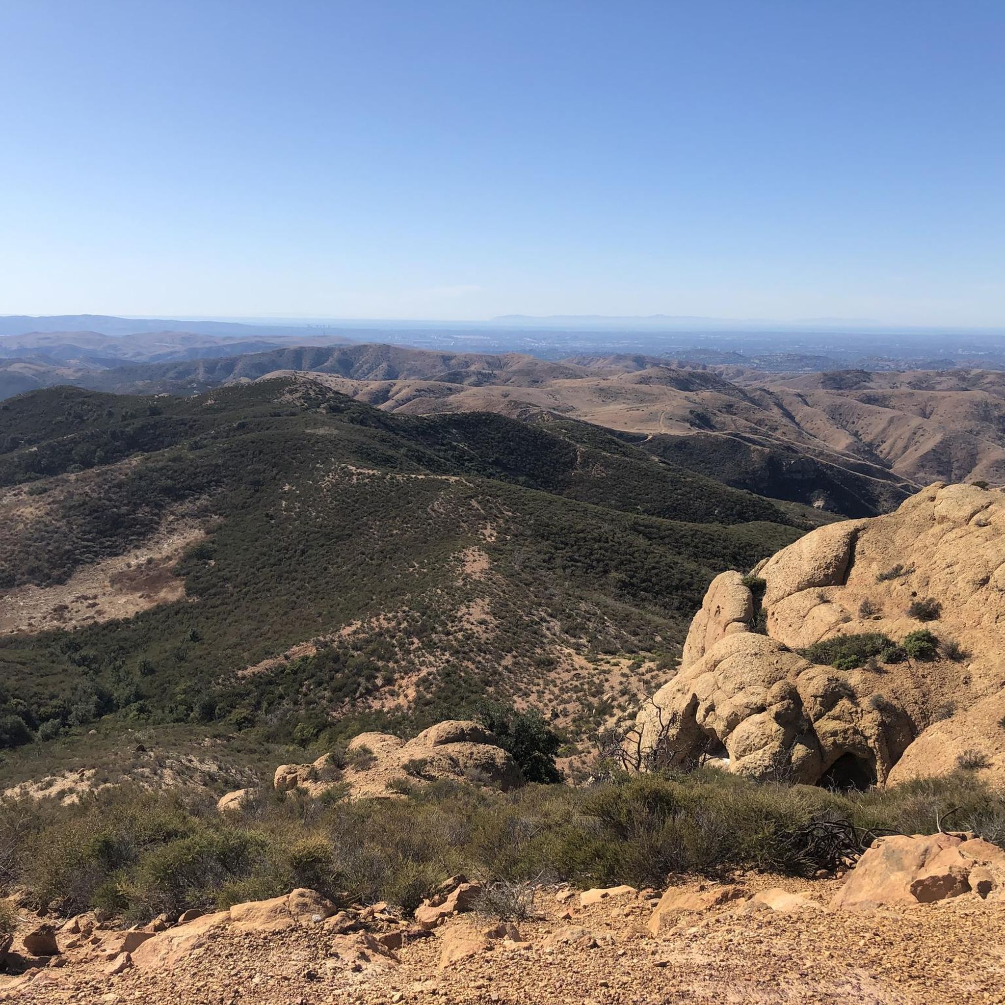
Situated up with the cell towers at 3,045 feet, Sierra Peak offers awesome views of Orange County and the surrounding mountains. Because it's such a long trek from car to summit, you'll likely have most of the route and the peak to yourself.
0
0

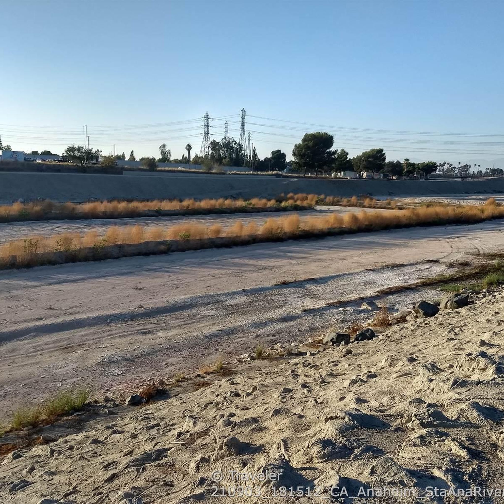
There is lots of parking here, and as you head away from the highway you have access to the paved two-lane Santa Ana River trail which stretches (nearly) all the way from San Bernardino to the Pacific Ocean. If you head west along the river trail you will come to Coal Canyon and can access the trails south of the highway.
1
0
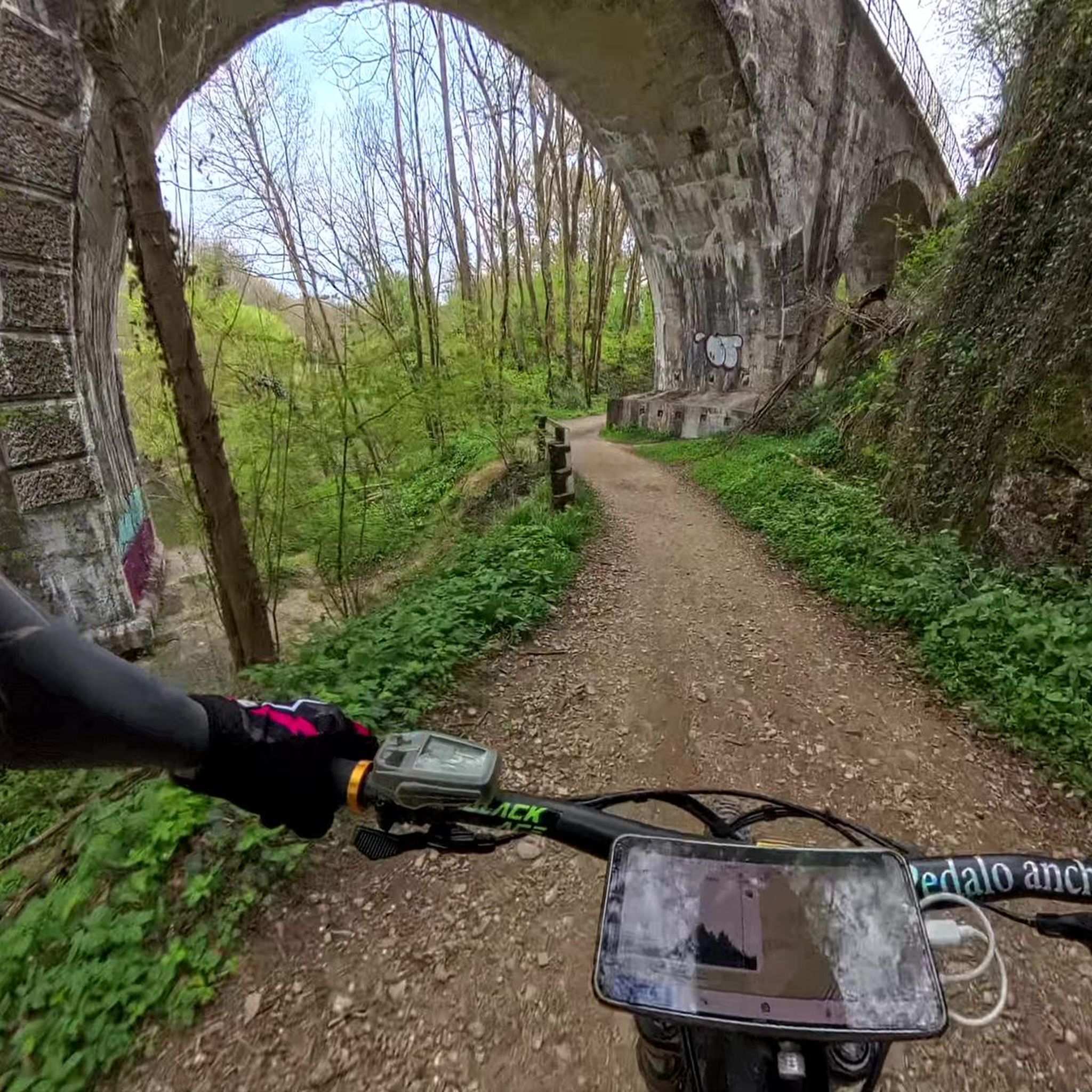
The trail is a wide dirt road through what feels like remote terrain, despite being quite close to Orange County. There is some loose rock that could make the descent mildly technical, but otherwise this is a fairly steady route to Mini Moab and Sierra.
0
0

The ruins of Beeks Place are the remains of old stone buildings built in the 1930's by Joseph Beeks (who created the Balboa Island Ferry service in Newport Beach) to use as a weekend getaway. Located right along Main Divide road, it makes for a nice place to take a break and take in the views.
0
0
Beek's Place is actually old ruins of some stone structures from the 1930s. These ruins seem out of place up here with the cell towers.
0
0
Situated up with the cell towers at 3,045 feet, Sierra Peak offers awesome views of Orange County and the surrounding mountains. Because it's such a long trek from car to summit, you'll likely have most of the route and the peak to yourself.
0
0
Beek's Place is actually old ruins of some stone structures from the 1930s. These ruins seem out of place up here with the cell towers.
0
0

Beautifully shaped sandstone and a breathtaking view over Orange County – just the right climax and perfect spot for a break from a trail run in the mountains.
1
1
Frequently Asked Questions
How many running routes are available around Coronita?
There are 11 dedicated running routes around Coronita, offering a diverse range of experiences for all levels. These routes are highly rated by the komoot community, with an average score of 5.0 stars.
What kind of terrain can I expect on jogging trails in Coronita?
Jogging routes in Coronita feature varied terrain, from well-maintained park paths to challenging mountain trails. You'll find a mix of paved surfaces and uneven, rocky paths, especially in areas closer to the Santa Ana Mountains. Some routes, like the Coal Canyon Trail to Picnic Rock, offer significant elevation gain through natural forest settings.
Are there any easy running routes for beginners in Coronita?
Yes, Coronita offers 2 easy running routes suitable for beginners or those looking for a more relaxed run. While specific names for easy routes are not listed here, you can find accessible green spaces in parks like Corona Regional Park or Corona Heritage Park, which often feature flatter, paved paths.
What are some notable landmarks or natural features I can see while running in Coronita?
The region boasts several interesting natural features and landmarks. You might encounter the beautiful Black Star Falls, a natural waterfall, or explore historical sites like Beeks Place. For stunning vistas, consider routes that pass by Sierra Peak Summit or the View of Irvine and Orange County from Picnic Rock.
Are there any challenging running routes for experienced runners?
Absolutely. Coronita is known for its challenging routes, with 6 difficult trails available. Experienced runners can tackle routes like the Pipeline, Sierra Peak and Coal Canyon Loop Trail, which offers expansive views and significant ascents, or the Sierra Peak Summit trail through the Santa Ana Mountains.
Can I find running routes that are dog-friendly in Coronita?
Many outdoor areas in and around Corona, California, including some trails in the Santa Ana Mountains, are dog-friendly. For example, the area around Black Star Falls is known to be dog-friendly. Always check specific trail regulations before heading out with your pet, as rules can vary.
Are there any circular running routes in the Coronita area?
Yes, there are circular running routes available. An example is the Beeks Place loop from Corona High School, which offers a challenging 13.7-mile circuit. Another option is the Beeks Place – Beek's Place loop from Mountain Gate Park, a 12.8-mile loop.
What are the best times of year for jogging in Coronita?
The best times for jogging in Coronita are generally during the cooler months, from fall through spring. Summers can be very hot, especially on exposed trails. Early mornings or late afternoons are preferable during warmer periods to avoid peak heat.
Are there parks in Coronita with facilities for runners?
Yes, Corona, California, features several well-maintained parks that are great for runners. Parks like Corona Regional Park, Corona Heritage Park, and Corona Hills Regional Park offer accessible green spaces, often with facilities like restrooms and water fountains. For more details on local parks, you can visit the City of Corona's Parks & Facilities Directory.
What do other runners enjoy most about jogging in Coronita?
The komoot community highly rates the running experience in Coronita, with an average score of 5.0 stars. Runners often praise the diverse landscapes, from accessible park paths to challenging mountain trails, and the opportunity to experience the natural beauty of the Santa Ana Mountains. The variety of routes caters to different fitness levels, making it appealing to many.
Are there any running routes with waterfalls or significant viewpoints?
Yes, you can find both. The area is home to Black Star Falls, a natural waterfall that can be a destination on some trails. For significant viewpoints, routes leading to Sierra Peak Summit or the View of Irvine and Orange County from Picnic Rock offer expansive vistas of the surrounding region.
Most popular routes around Coronita
Most popular attractions around Coronita

Get inspired with the komoot mobile app


Explore more
Browse the best Running Trails & Routes in other regions.
