The best cycling routes around Coronita
4.3
(3)
72
riders
9
rides
Touring cycling around Coronita features routes along the Santa Ana River and through areas with significant elevation changes, offering diverse landscapes for cyclists. The region includes notable viewpoints and natural features such as Picnic Rock Viewpoint and Black Star Falls. Terrain varies from riverside paths to more challenging climbs leading to elevated spots like Beek's Place. These routes provide a mix of paved and unpaved sections, catering to different cycling preferences.
Best touring cycling routes around Coronita
- The most popular…
Last updated: June 29, 2026
5.0
(1)
24
riders
22.1km
02:24
690m
690m
Hard bike ride. Very good fitness required. Mostly paved surfaces. Suitable for all skill levels.
10
riders
71.2km
05:41
1,250m
1,250m
Hard bike ride. Very good fitness required. Mostly paved surfaces. Suitable for all skill levels.

Sign up for free
7
riders
Hard bike ride. Very good fitness required. Mostly paved surfaces. Suitable for all skill levels.
5.0
(1)
6
riders
Hard bike ride. Very good fitness required. Mostly paved surfaces. Suitable for all skill levels.
5
riders
6.26km
00:44
220m
220m
Moderate bike ride. Good fitness required. Mostly paved surfaces. Suitable for all skill levels.
Get access to more routes and recommendations from other explorers.
Sign up for free
Already have an account?
Our route recommendations are based on thousands of hikes, rides, and runs completed by other people on komoot.
Start today with a free account
Your next adventure awaits.
Login or Signup


Other adventures around Coronita

Tips from the Community

This is the intersection of five trails: Raptor Ridge Trail, North Ridge Trail, Bovinian Delight Trail or Telegraph Canyon Road. There are also some boards with information about the trails and a restroom.
0
0

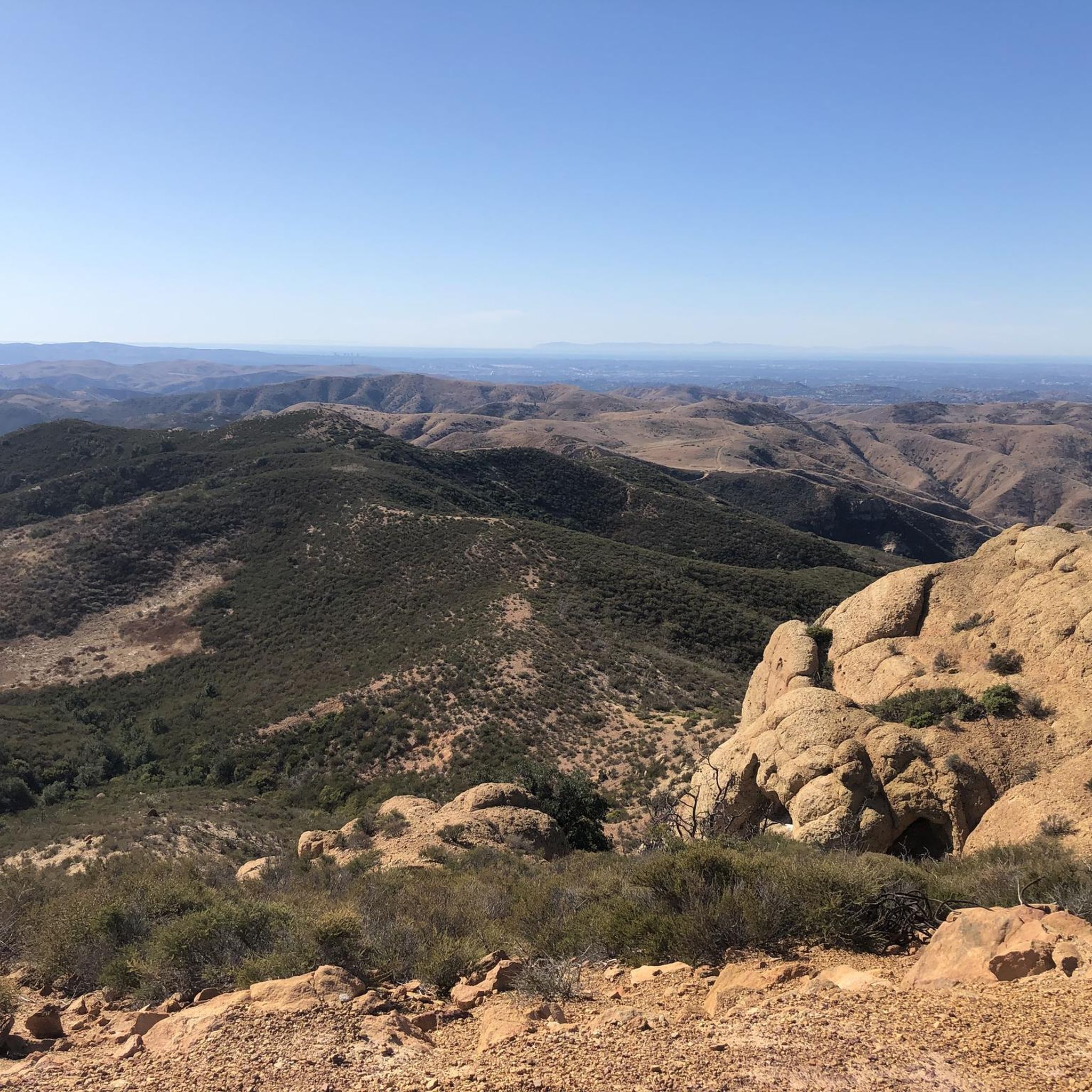
This view of Sierra Peak showcases one of the highest and most easily identifiable peaks in northern Orange County. It stands at 3,045 feet above sea level.
1
0
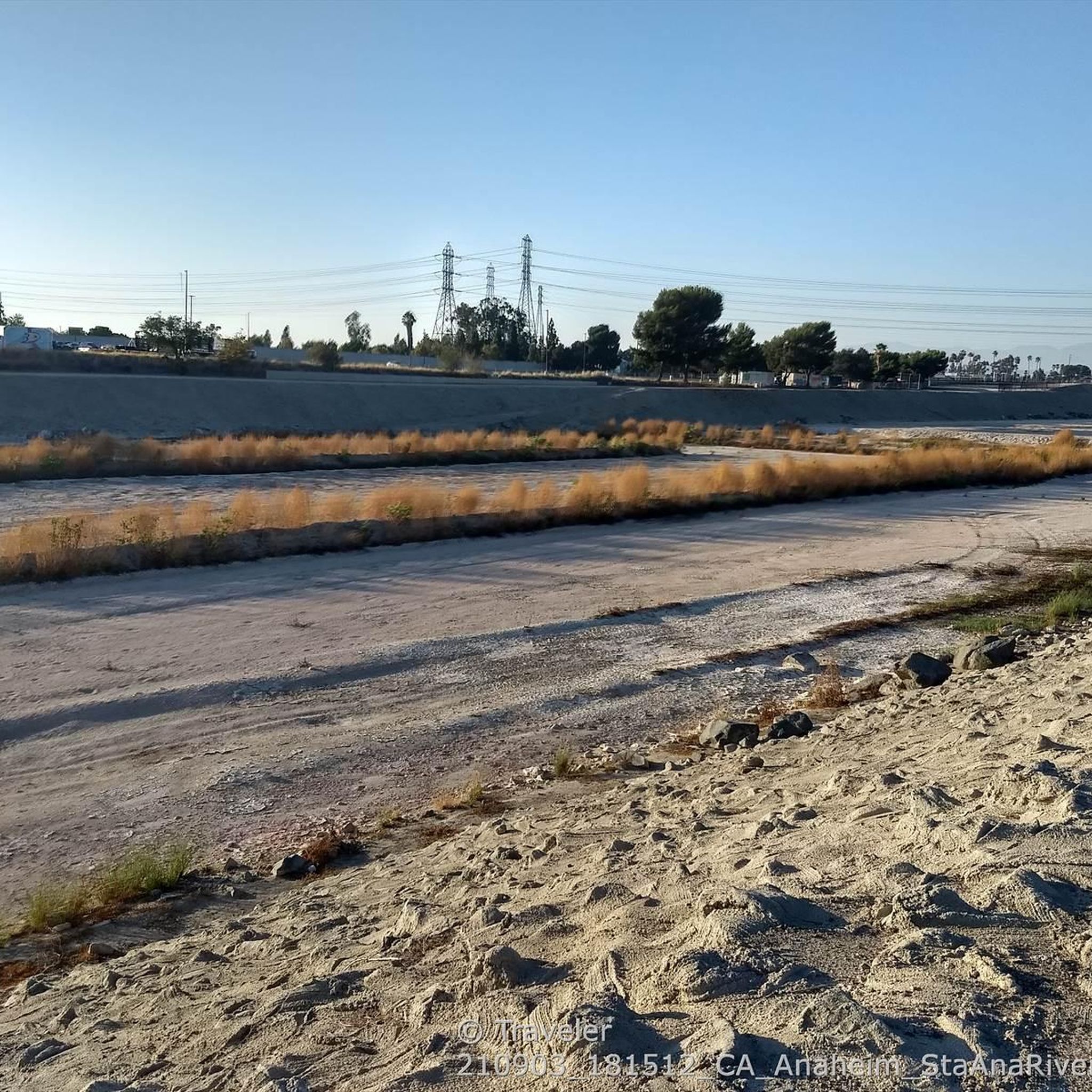
Nice wooden bridge along the Santa Ana River Trail. It takes you over the river and gives you a good view of the water.
1
0
It's slow-going on this steep climb. Once you get to the top, you're treated with a good view into the valley.
0
0

This is a cool, panoramic overlook with a placard off the side of the South Ridge Trail. The overlook is situated over the city and neighborhoods of Yorba Linda.
0
0

This used to be the village of Puhú, which was shared between four different local indigenous tribes. The village was massacred by fur traders in 1832.
0
0

The ruins of Beeks Place are the remains of old stone buildings built in the 1930's by Joseph Beeks (who created the Balboa Island Ferry service in Newport Beach) to use as a weekend getaway. Located right along Main Divide road, it makes for a nice place to take a break and take in the views.
0
0
This area of trail has a nice view of the residential area of Yorba Linda.
0
0
Frequently Asked Questions
How many touring cycling routes are available in Coronita?
Coronita offers a selection of 9 touring cycling routes, catering to various skill levels from easy riverside paths to challenging climbs.
What are the typical distances and elevations for touring cycling routes in Coronita?
Routes vary significantly in length and elevation. For example, the Santa Ana River – Santa Ana River Trail Bridge loop from Santa Ana River Trail Parking is an easy 17.3 miles (27.9 km) with minimal elevation gain. In contrast, the difficult Santa Ana River Trail Bridge – Black Star Falls loop from Corona–West spans 44.3 miles (71.2 km) with over 1200 meters of elevation gain.
Are there family-friendly touring cycling routes in Coronita?
Yes, there are easy routes suitable for families. The Santa Ana River – Santa Ana River Trail Bridge loop from Santa Ana River Trail Parking is an excellent option, offering a scenic 17.3-mile ride along the Santa Ana River with an easy difficulty rating.
What options are there for experienced touring cyclists seeking a challenge?
Experienced cyclists will find several challenging routes. The Picnic Rock Viewpoint – Beeks Place loop from Oak Street 1003-010 Dam is a difficult 13.3-mile (21.4 km) trail with significant elevation changes. Another demanding option is the Beek's Place loop from Oak Street Creek Reservoir, which covers 15.8 miles (25.5 km) with over 700 meters of ascent.
What natural features or landmarks can I see along the touring cycling routes?
Coronita's routes offer diverse scenery. You can encounter natural features like Black Star Falls, enjoy panoramic views from View of Irvine and Orange County from Picnic Rock, and explore trails such as Bane Ridge Trail and Lower Aliso Canyon Trail. Historical sites like Beeks Place and Native American Grinding Stones are also accessible.
Are there circular touring cycling routes in Coronita?
Yes, many of the touring cycling routes in Coronita are loops, allowing you to start and end at the same point. Examples include the Santa Ana River – Santa Ana River Trail Bridge loop from Santa Ana River Trail Parking and the Bike loop from Oak Street 1003-010 Dam.
Is parking available for touring cyclists in Coronita?
Yes, several routes indicate specific starting points with parking, such as the 'Santa Ana River Trail Parking' for the Santa Ana River – Santa Ana River Trail Bridge loop, and 'Oak Street 1003-010 Dam' for the Picnic Rock Viewpoint – Beeks Place loop.
What do other touring cyclists enjoy most about touring cycling in Coronita?
The area is highly rated by the komoot community, with an average score of 4.3 stars. Reviewers often praise the diverse terrain, from scenic river paths to challenging climbs, and the opportunity to explore both natural beauty and historical landmarks.
When is the best time of year to go touring cycling in Coronita?
Given the region's climate, touring cycling in Coronita is generally enjoyable year-round, though spring and fall offer the most comfortable temperatures. Summers can be hot, especially on routes with less shade, while winters are mild but may bring occasional rain.
What should I bring for touring cycling in Coronita?
For touring cycling in Coronita, it's advisable to bring plenty of water, especially on longer or more challenging routes with significant elevation. Sun protection (sunscreen, hat, sunglasses) is also recommended. Depending on the route, a repair kit, snacks, and appropriate layers for changing weather conditions will enhance your experience.
Are there any less-known touring cycling routes worth exploring in Coronita?
While not as frequently ridden as some of the main trails, the Bike loop from Oak Street 1003-010 Dam offers a moderate 3.9-mile (6.3 km) ride with over 200 meters of elevation, providing a good option for those looking for a shorter, engaging loop.
Most popular routes around Coronita
Most popular attractions around Coronita

Get inspired with the komoot mobile app


Explore more
Browse the best Cycling routes in other regions.
