The best road cycling routes around Monterey Park
4.7
(162)
5,087
riders
94
rides
Road cycling routes around Monterey Park feature a mix of urban green spaces and challenging hilly terrain. The city's topography includes "hilly streets" that provide both uphill climbs and enjoyable downhill sections. This area benefits from its connections to extensive regional cycling infrastructure, including the San Gabriel River Trail and the Rio Hondo Bike Bridge. The landscape combines suburban environments with access to broader natural and recreational areas, offering diverse cycling experiences.
Best road cycling routes in Monterey Park
- The…
Last updated: July 6, 2026
99
riders
29.2km
01:24
200m
200m
Easy road ride. Great for any fitness level. Mostly well-paved surfaces and easy to ride.
31
riders
Easy road ride. Great for any fitness level. Mostly well-paved surfaces and easy to ride.

Sign up for free
4.3
(3)
19
riders
Easy road ride. Great for any fitness level. Mostly well-paved surfaces and easy to ride.
4.0
(1)
41
riders
51.1km
02:36
720m
720m
Moderate road ride. Good fitness required. Mostly well-paved surfaces and easy to ride.
24
riders
88.0km
04:01
330m
330m
Moderate road ride. Good fitness required. Mostly well-paved surfaces and easy to ride.
Get access to more routes and recommendations from other explorers.
Sign up for free
Already have an account?
Our route recommendations are based on thousands of hikes, rides, and runs completed by other people on komoot.
Start today with a free account
Your next adventure awaits.
Login or Signup


Tips from the Community

The Greenway is a paved two-lane multi-use path, which stretches for over 50 miles along the LA River.
0
0
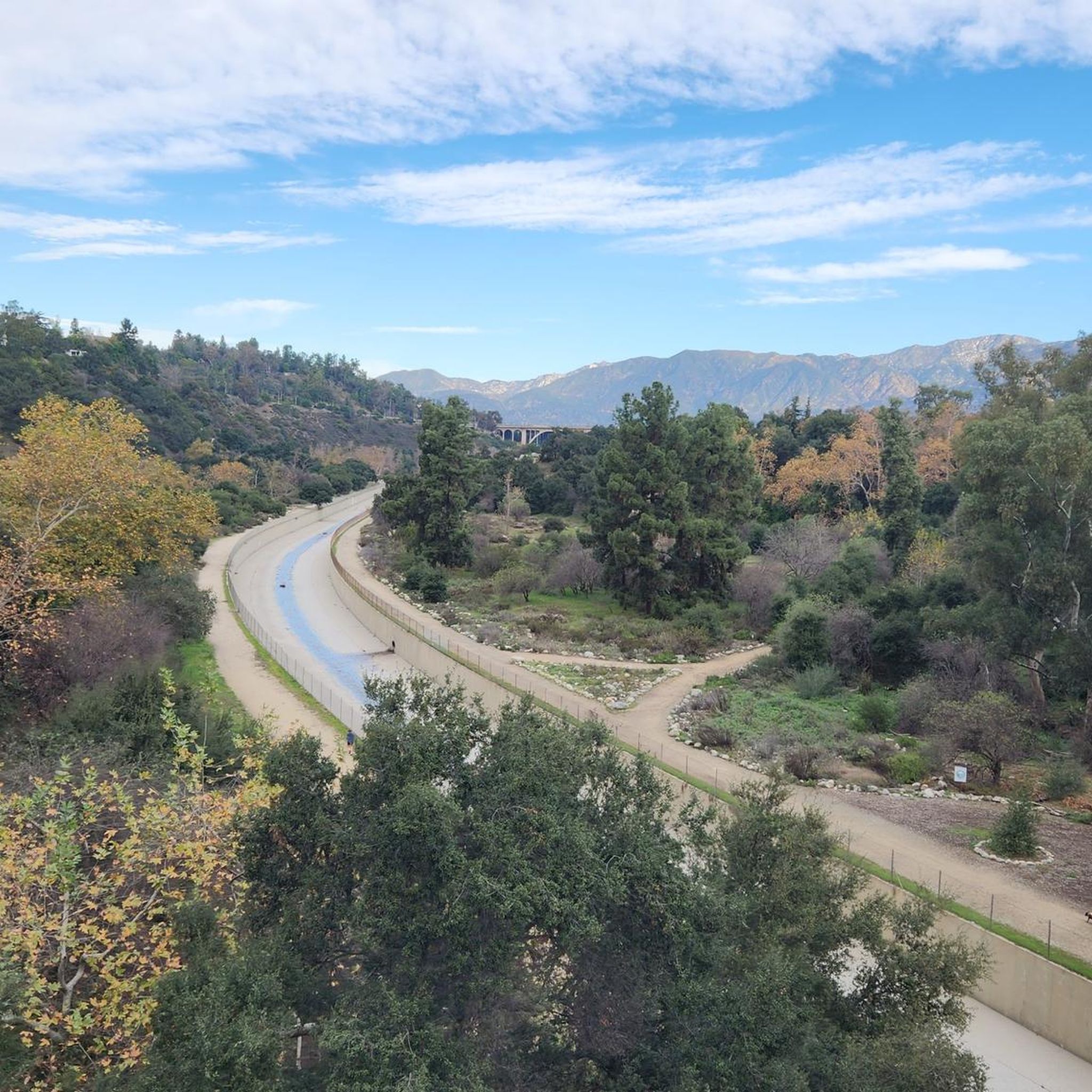
The road south creates a nice, fast, gradual descent from the north side of Altadena. Just be safe and keep an eye out for cross-traffic at the intersections.
0
0

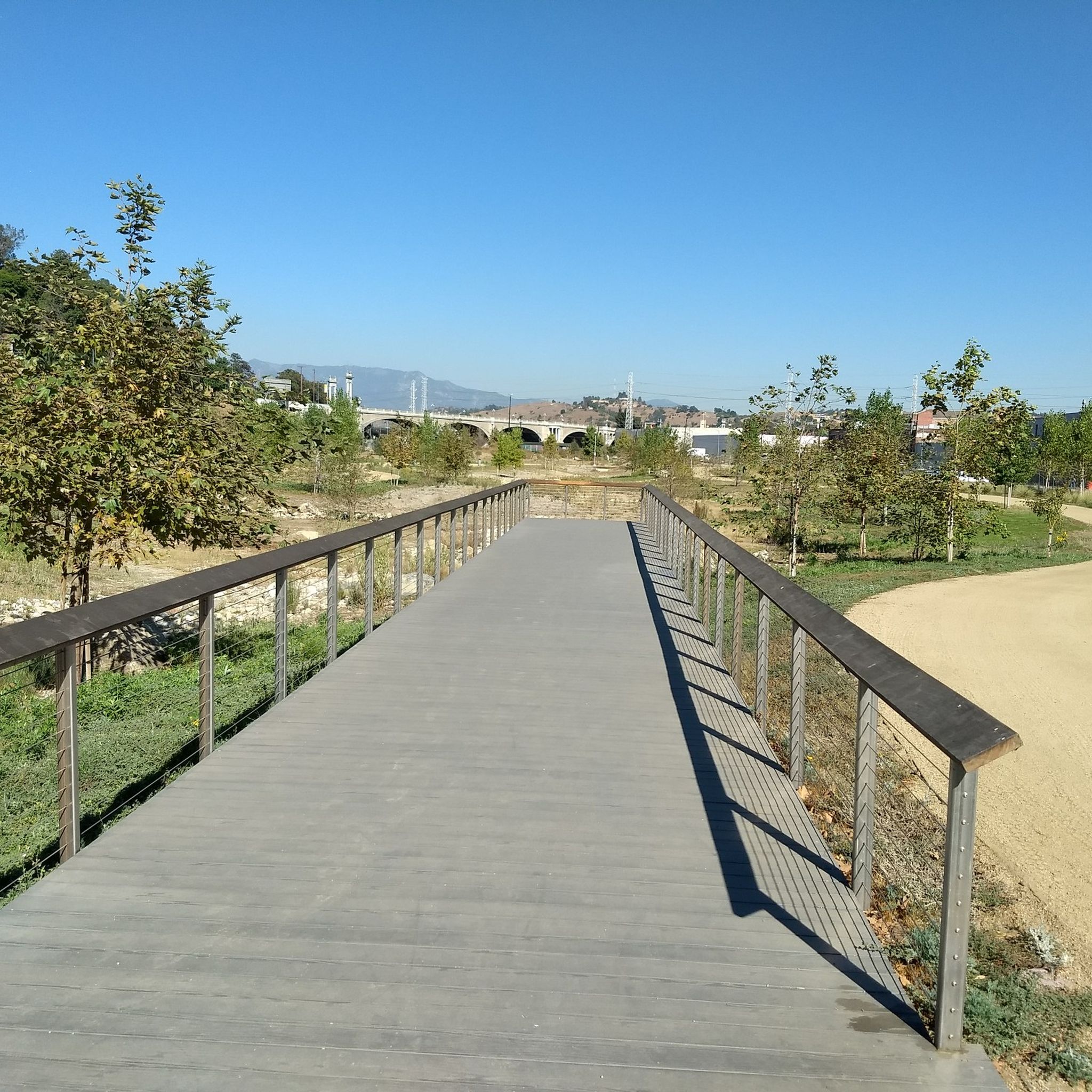
The Rio Hondo Bike Bridge is an interesting structure that connects the bike trails that runs on either side of the Rio Hondo.
0
0

Nice bike path. not much roads to cross. some are hilly but doable for newbies. It's our first time and we had a good time. just some areas are with a lot of homeless people, esp. the tunnels.
0
0

Brookside Park is Pasadena's largest fully maintained park at 61.1 acres. It sits south of Rose Bowl Stadium with tons of parking off Arroyo Boulevard. The park features a lighted baseball diamond, two softball diamonds, and a large, lighted, multi-purpose field for soccer and flag football. There is also a speaker's platform with permanent seating, numerous picnic tables, barbecue pits, a play area, restrooms, and drinking fountains.
0
0
The Club House is a vibrant bike shop offering bike sales and service, apparel, gear, and cacti. What began with a red VW bus and online sales in 2017 transitioned to an old service station turned plant store. A small, fun-loving team runs the shop, sharing their love of cycling. Stop by for events like the annual Bike & Car Show, a lazy Sunday ride, the Wednesday night Basket Ride, or just to grab coffee at their mobile espresso bar.
1
0

Built in 1912 this historic bridge plays an important part in the growth of the city. For a short time in the 1930's and 40s it was part of the iconic "Route 66" that stretched from Santa Monica to Chicago. Aside from a short closure and refurbishment after the 1989 Loma Prieta earthquake, the bridge has been in operation for well over a century.
1
0
Brookside Park is Pasadena's largest fully maintained park at 61.1 acres. It sits south of Rose Bowl Stadium with tons of parking off Arroyo Boulevard. The park features a lighted baseball diamond, two softball diamonds, and a large, lighted, multi-purpose field for soccer and flag football. There is also a speaker's platform with permanent seating, numerous picnic tables, barbecue pits, a play area, restrooms, and drinking fountains.
0
0
Frequently Asked Questions
How many road cycling routes are available around Monterey Park?
There are over 100 road cycling routes around Monterey Park, offering a wide range of options for different skill levels and preferences. The komoot community has explored more than 105 routes in this area.
What kind of terrain can I expect when road cycling in Monterey Park?
Monterey Park is known for its "hilly streets," providing both challenging uphill climbs and enjoyable downhill sections. The routes often feature a mix of urban green spaces and connections to extensive regional bike networks like the San Gabriel River Trail and the Rio Hondo Bike Bridge.
Are there routes suitable for beginners or those looking for an easy ride?
Yes, approximately 39 of the routes around Monterey Park are rated as easy. An excellent option for a relaxed ride is the Brookside Park – Brookside Park loop from South Pasadena, which features gentle gradients and urban park views.
Where can I find more challenging road cycling routes in the area?
For those seeking a greater challenge, there are 9 difficult routes and 57 moderate routes available. The hilly terrain of Monterey Park naturally offers more demanding climbs. A moderate option that covers a longer distance is the Bosque del Rio Hondo – Syndicate Coffee loop from Pio Pico Elementary School.
Are there any scenic landmarks or points of interest along the road cycling routes?
Many routes offer views of local attractions and natural features. You might encounter highlights such as the Rio Hondo Bike Bridge, which is part of the regional cycling network. Other nearby points of interest include the Silver Lake Reservoir and Legg Lake.
Can I find routes that are loops or circular?
Yes, many of the road cycling routes around Monterey Park are designed as loops, allowing you to start and end at the same point. An example is the The Cub House – Brookside Park loop from San Gabriel, which offers a balanced ride through varied local scenery.
What is the best time of year to go road cycling in Monterey Park?
Monterey Park generally offers pleasant cycling conditions year-round due to its mild climate. Spring and fall often provide the most comfortable temperatures for longer rides, while mornings in summer can be ideal before the heat of the day.
What do other road cyclists enjoy the most about road cycling in Monterey Park?
The area is highly rated by the komoot community, with an average score of 4.7 stars from over 180 reviews. Reviewers often praise the diverse terrain, from challenging hills to scenic stretches along the regional bike networks, and the accessibility of the routes.
Is there public transport access to the road cycling trails in Monterey Park?
Monterey Park is part of the broader Los Angeles County public transport network. While specific routes may vary, many regional bike paths, such as those connected to the San Gabriel River Trail, are accessible via public transport connections. It's advisable to check local transit schedules and bike-on-bus/train policies.
Are there any family-friendly road cycling options in Monterey Park?
While Monterey Park's hilly streets can be challenging, the city's connection to the San Gabriel Valley's cycling network includes flatter, paved paths suitable for families. The San Gabriel River Trail, accessible near the Whittier Narrows Recreation Area, offers a safe and enjoyable environment for family rides. The Whittier Narrows Recreation Area itself has numerous bike trails.
Where can I find parking for road cycling routes in Monterey Park?
Parking is generally available at various parks and trailheads throughout Monterey Park and the surrounding areas that connect to the regional bike network. For example, areas near the San Gabriel River Trail or parks like Barnes Park and Garvey Ranch Park often provide parking facilities. Always check local signage for specific parking regulations.
Are there any long-distance road cycling routes available?
Yes, Monterey Park's integration into the San Gabriel Valley's extensive cycling infrastructure allows for longer rides. Routes like the Rio Hondo Bike Bridge – Los Angeles River Greenway loop from Montebello/Commerce, at over 22 miles, utilize the regional network for extended cycling experiences. The San Gabriel River Trail itself spans 28 miles, offering opportunities for significant distances.
Most popular attractions around Monterey Park

Get inspired with the komoot mobile app


Explore more
Browse the best Road cycling routes in other regions.
