The best walks and hikes around Monterey Park
4.9
(24)
311
hikers
45
hikes
Hikes around Monterey Park California offer accessible routes within an urban environment. The area is primarily composed of city parks with established walking paths and nearby hilly terrain providing views over the Los Angeles basin. While not a remote wilderness area, the region provides numerous options for outdoor exercise close to the city center.
Best hiking trails around Monterey Park
- The most popular hiking route is Meadows & Vistas – Elysian Park, a 3.3 mile (5.3 km) trail that takes about 1 hour 30 minutes to complete. This route features open meadows and views of the surrounding city.
- Another top favourite among local hiking enthusiasts is Whittier Hill – Turnbull Debris Basin loop from Hacienda Heights, a moderate 5.0 mile (8.0 km) path. The trail involves some elevation gain through the hills.
- Local hiking enthusiasts also love the Lower Arroyo Park loop — Pasadena, a 3.2 mile (5.1 km) trail leading through a section of the Arroyo Seco, often completed in about 1 hour 20 minutes.
- Hiking around Monterey Park is defined by urban park trails, walks through residential hills, and paths in nearby green spaces like Elysian Park. The network of routes provides easy and moderate options suitable for various fitness levels.
- The routes in Monterey Park are highly rated by the komoot community with an average score of 5.0 stars from more than 15 reviews. More than 200 hikers have used komoot to explore Monterey Park's varied terrain.
Last updated: July 7, 2026
6
hikers
1.69km
00:26
10m
10m
The Almansor Park Loop offers a delightful, easy walk through a green oasis in Alhambra. You'll follow paved paths winding through 27.2 acres of lush parkland, shaded by tall trees and passing a serene lake where ducks often gather. It's a truly tranquil experience, perfect for unwinding and enjoying nature without any strenuous effort.
This accessible loop is ideal for a quick outing, taking only about 26 minutes to complete its 1.1 miles (1.7 km) with a minimal 23 feet (7 metres) of elevation gain. The park is very family-friendly and dog-friendly, with plenty of amenities like picnic areas and playgrounds. You can visit at any time of day for a pleasant stroll.
Beyond just a walking path, Almansor Park is a community hub, featuring various sports facilities and even
4
hikers
3.20km
00:58
120m
100m
The Ascot Hills Trail offers a refreshing urban escape, winding through a mix of wide dirt paths and narrower sections that feel surprisingly like countryside fields despite being in Los Angeles. You'll encounter undulating terrain with gradual climbs, leading to spectacular panoramic views of the Downtown Los Angeles skyline, the San Gabriel Mountains, and even the Hollywood Sign from viewpoints like the one in Ascot Hills Park. After significant rainfall, the park transforms into a vibrant green space dotted with wildflowers, though it can be less colorful in the summer heat.
This easy 2.0-mile (3.2 km) hiking route, with 404 feet (123 metres) of elevation gain, can be completed in about 58 minutes, making it ideal for a quick outing. The park's extensive network of trails allows you to customize your hike, choosing routes that match your fitness level. It's also a dog-friendly spot, perfect for a walk with your leashed companion, and generally less crowded than other popular LA hiking destinations.
What truly sets Ascot Hills Trail apart is its exceptional city views and urban accessibility, providing a readily available natural escape within a major city. It's a fantastic alternative to more famous spots like Runyon Canyon or Griffith Park, offering a more secluded experience, especially on weekdays. The ever-changing scenery, from lush green after rain to golden hues in summer, ensures a unique visit every time.

Sign up for free
914m
00:16
20m
20m
The Edison Trail in Monterey Park offers a straightforward and very accessible experience, ideal for a quick outdoor break. This beginner-friendly path features short, gentle inclines, providing a pleasant walk even if the primary views are of the surrounding houses. It's a perfect spot for a brief Edison Trail hiking excursion, especially if you're looking for a dog-friendly route.
Planning your visit to the Edison Trail is simple, as it's a local park trail with no permits required. You'll find convenient amenities like picnic tables and restrooms, making it suitable for families or anyone needing a quick stop. Given its short 0.6-mile (0.9 km) distance and 15-minute estimated duration with 69 feet (21 metres) of elevation gain, it's an easy hike that can be enjoyed at almost any time of day.
This trail serves as a valuable local green space, offering a chance to stretch your legs and get some fresh air without venturing far from urban comforts. It's a great choice for those seeking family friendly hikes or a simple, easy-difficulty route for a quick dose of nature in Los Angeles County.
24.8km
06:16
40m
60m
Embark on the Rio Hondo River Trail for a surprisingly long urban adventure that weaves through the heart of Los Angeles County's green infrastructure. This 15.4-mile (24.8 km) hiking route, rated difficult, offers a unique journey with minimal elevation gain of just 123 feet (37 metres), making it more about endurance than steep climbs. You'll traverse varied scenery, from urban corridors to the tranquil woodlands and wetland sanctuary of the Whittier Narrows Recreation Area, a true highlight along the way. Expect to spend around 6 hours and 16 minutes exploring this extensive path.
When planning your visit, note that the trail is largely paved and multi-use, making it accessible for a wide range of activities. Many sections pass through community parks, which can offer convenient access points and amenities like water fountains or picnic spots. Given the significant distance, it's wise to start early in the day, especially if you plan to complete the entire route, and always carry enough water to stay hydrated.
The Rio Hondo River Trail is a key component of the ambitious "Emerald Necklace Project," aiming to expand green spaces and connectivity throughout Los Angeles County. Beyond its recreational value, the trail offers glimpses of local wildlife, particularly migrating waterfowl in the wetland areas, and even unique features like the Montebello Barnyard Zoo. It's a fantastic option for those seeking a long, accessible walk that connects you with both nature and community.
13.6km
03:26
20m
30m
The Rio Hondo River Trail offers a unique blend of urban greenway and natural escape, perfect for a relaxed outing. You'll traverse varied terrain, from paved sections alongside the river channel to more natural landscapes within the Whittier Narrows Recreation Area, where you might even spot migrating waterfowl. This moderate 8.4-mile (13.6 km) hike with a minimal 75 feet (23 metres) of elevation gain is generally flat and takes about 3 hours and 26 minutes, making it an ideal beginner hiking trail.
Planning your visit is straightforward, as the trail is easily accessible from multiple points and connects various parks that often provide amenities like restrooms and water. It's a multi-use path, so expect to share it with cyclists. The trail is dog friendly, just remember to keep your furry friend on a leash. Early mornings are often the best time to visit for a quieter experience and cooler weather.
This trail is a vital part of the Emerald Necklace Project, transforming formerly barren areas into natural habitats and connecting the greater Los Angeles area's trail system. It links to other significant routes like the San Gabriel River Trail, offering opportunities for much longer excursions. The Rio Hondo River Trail's unique natural features and urban greening efforts make it a notable destination for those seeking accessible outdoor activity.
Get access to more routes and recommendations from other explorers.
Sign up for free
Already have an account?
Our route recommendations are based on thousands of hikes, rides, and runs completed by other people on komoot.
Start today with a free account
Your next adventure awaits.
Login or Signup
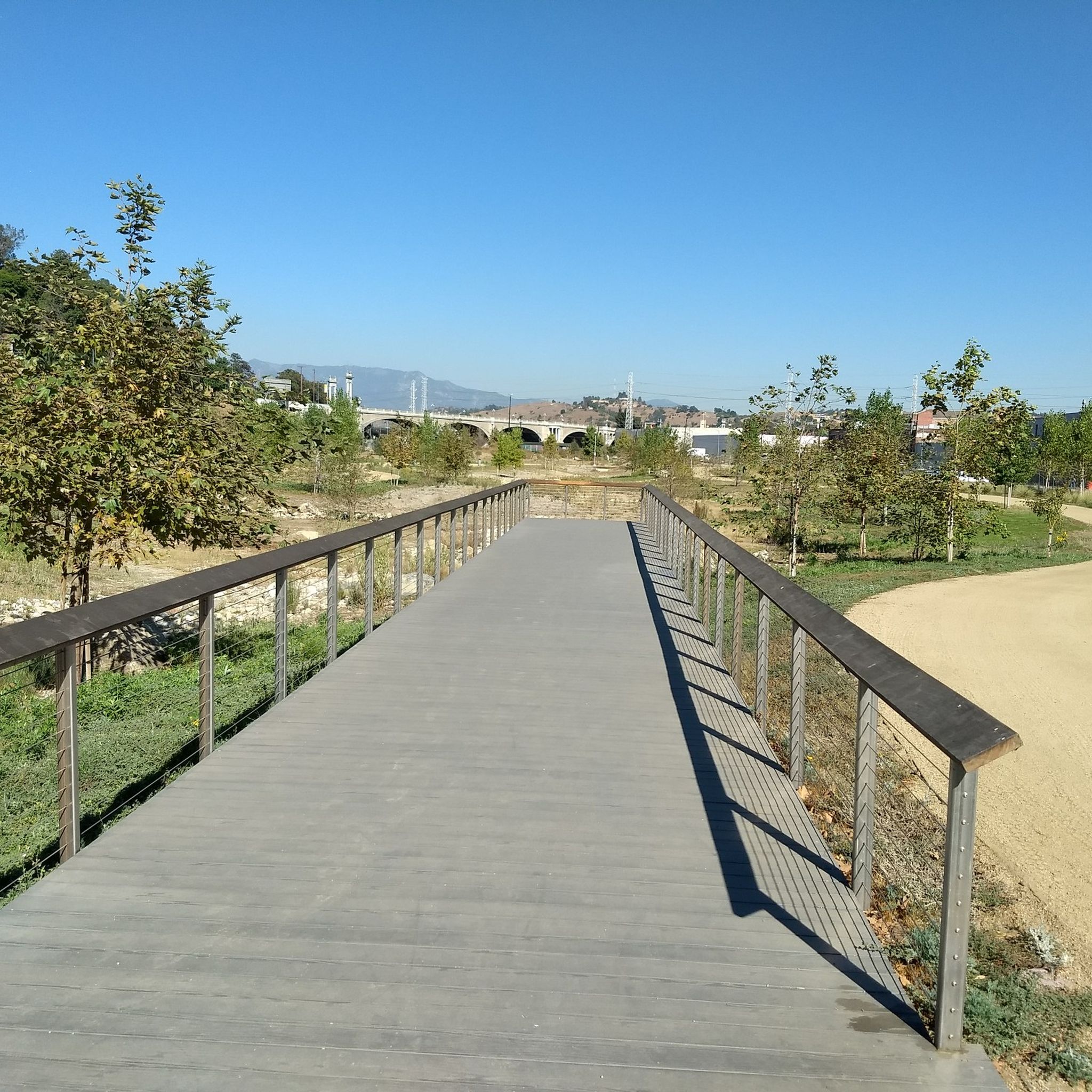

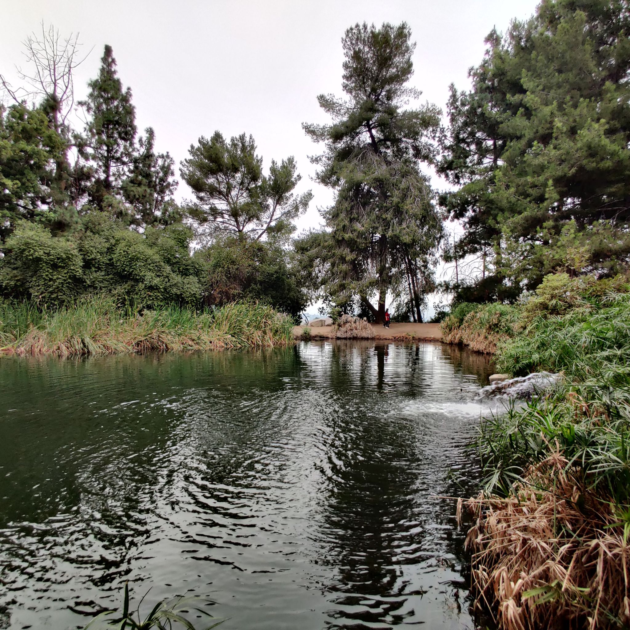
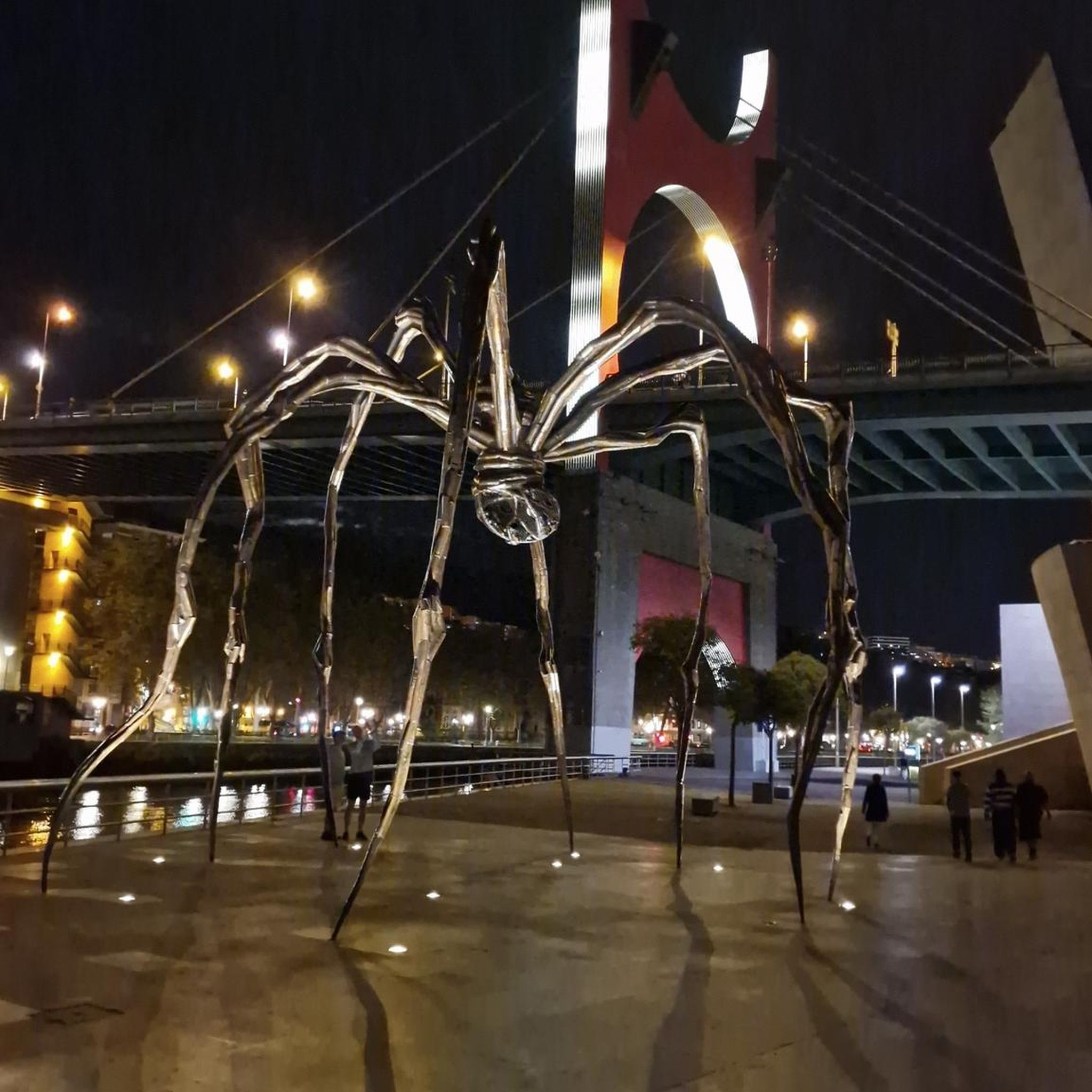

Tips from the Community

Ascot Hills is a great place for a quick hike with solid views of L.A. The trail’s not too long but has some good uphill sections. If you make it to the top, the city views—especially at sunset—are totally worth it.
0
0

There is a parking lot and restroom here at the trailhead, which provides access to a large network of paved and packed dirt trails along the beautiful Rio Hondo. The trailhead closes at sunset.
0
0

Bosque del Rio Hondo, which is Spanish for “Forest of the Deep River, is a small quaint green area just off from Whittier Arrows lakes & Recreation Area. It is also abundant with wildlife and used by the public for picnics, biking and hiking because it provides access to the Rio Hondo and San Gabriel River bicycle paths.
1
0

Enormously sized park in an area of expensive villas. Much is used by a country club golf course, as well as some community park area with ponds, meadows, picnic areas etc.
0
0
Frequently Asked Questions
Are there any easy, beginner-friendly hikes in Monterey Park?
Yes, the area is well-suited for beginners. The city has established several 'Walkability Routes' in its parks, which are well-marked and designed for all fitness levels. For a specific route, the Downtown LA and Chinatown from Union Station — Los Angeles walk is a very flat and accessible option for exploring the urban landscape.
Can I bring my dog on the trails around Monterey Park?
Many parks and trails in and around the Monterey Park area are dog-friendly, provided your dog is kept on a leash. Parks like Edison Trails Park are popular spots for local dog walkers. Always check the specific regulations for the park you plan to visit before you go.
What are the best spots for scenic city views?
Several trails in the hills of Monterey Park offer rewarding views of the surrounding neighborhoods and the downtown Los Angeles skyline. Edison Trails Park is particularly known for its westerly views from the higher points of its trail system, making it a great choice for cityscape panoramas.
Are there any family-friendly or stroller-friendly trails?
Yes, many of the city's parks feature paved or well-maintained walking paths suitable for families with strollers. Barnes Park and Highlands Park have designated walking routes that are generally flat and paved, making them ideal for a family outing or a walk with a stroller.
I'm looking for a more challenging hike. Are there any nearby?
While most trails within Monterey Park itself are easy, you can find more challenging options nearby. The Whittier Hill – Turnbull Debris Basin loop from Hacienda Heights is a popular moderate hike that involves more significant elevation gain, offering a good workout and expansive views.
Do I need to pay for parking or trail access?
Most hiking trails and parks within Monterey Park, such as Edison Trails Park and Barnes Park, are free to access and offer free public parking. This makes it an accessible and affordable option for getting outdoors.
Are there any circular or loop trails available?
Yes, there are several loop trails that allow you to start and end in the same place without retracing your steps. The Palm Garden loop from California Institute of Technology is a pleasant, easy loop that takes you through a unique and scenic part of the nearby Caltech campus.
What do other hikers think of the trails in this area?
The routes around Monterey Park are highly rated by the komoot community, with an average score of 5.0 stars. Reviewers often praise the accessibility of the trails and the surprising quality of the city views from an urban location.
How many hiking trails are there around Monterey Park?
You can find around 20 curated hiking routes in and around Monterey Park on komoot. The majority of these are rated as easy, with a handful of moderate options available in the nearby hills, catering to a wide range of walkers and hikers.
Are there any hikes with waterfalls near Monterey Park?
The immediate Monterey Park area is an urban environment and does not feature natural waterfalls on its trails. Hikes here are characterized by park paths and hillside trails with city views. For waterfalls, you would need to travel further to mountain ranges like the San Gabriel Mountains.
What kind of amenities can I expect at the local parks?
Many of the city's parks are well-equipped. For example, Edison Trails Park and La Loma Park offer picnic tables and restrooms. Barnes Park is a larger community park that includes sports facilities and well-maintained walking paths in addition to picnic areas.
Can I get to the trailheads using public transport?
Yes, due to the urban setting, many of the parks and trailheads in Monterey Park are accessible via public transportation. For example, trails starting from Barnes Park or near Union Station are well-served by local bus and rail lines. Always check the latest transit schedules to plan your trip.
Most popular attractions around Monterey Park

Get inspired with the komoot mobile app


Explore more
Browse the best Hikes in other regions.
