The best running trails around Atherton
4.6
(65)
4,285
runners
343
runs
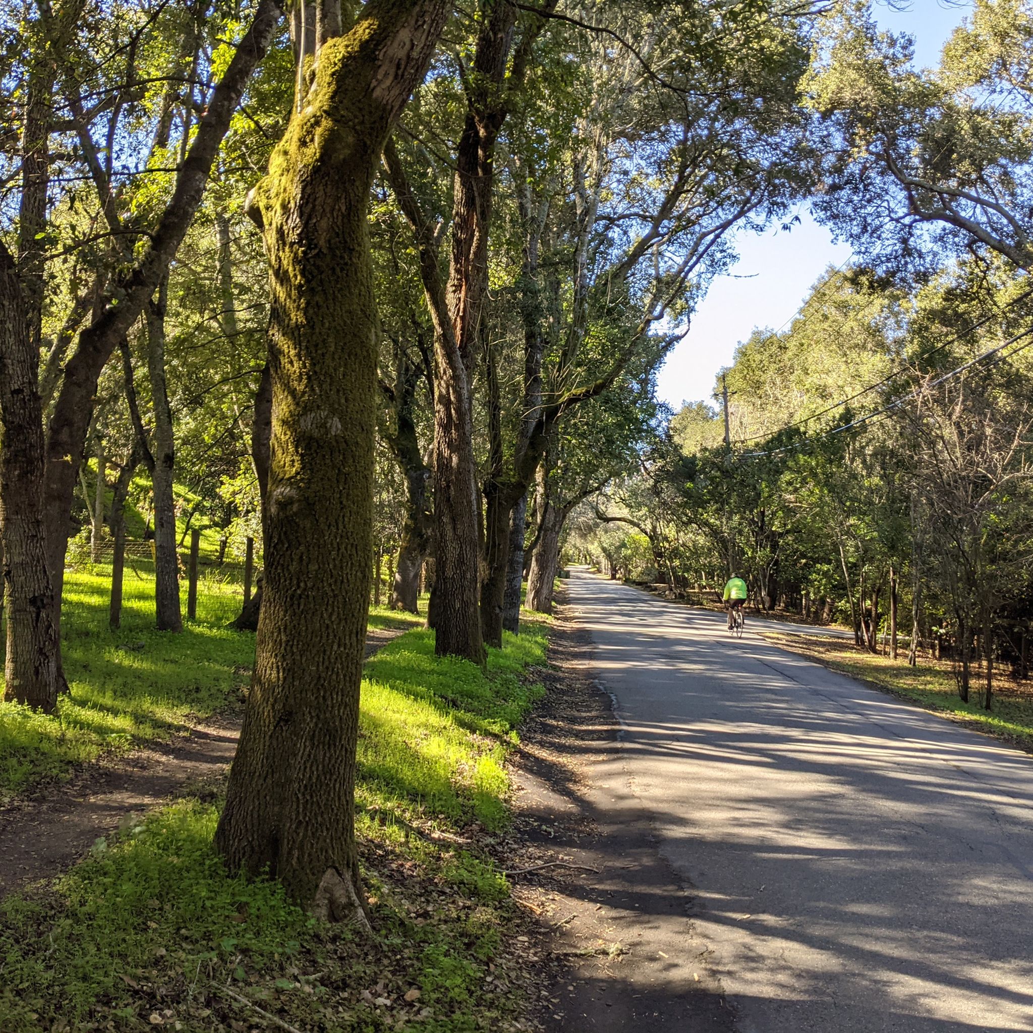
Jogging around Atherton, California, offers a variety of routes across well-maintained grounds and pathways. The area features relatively flat, shaded paved paths and extensive paved surfaces, particularly in parks and along the bayfront. These environments provide accessible options for running, often with opportunities for wildlife viewing. The landscape is characterized by tree-lined streets and parklands, offering a calm and secure setting for runners.
Best jogging routes around Atherton
- The most popular jogging route is Bedwell Bayfront Park loop from Salt Evaporators, a 3.8 miles (6.1 km) trail that takes 39 minutes to complete. This route offers paved surfaces and views within Bedwell Bayfront Park.
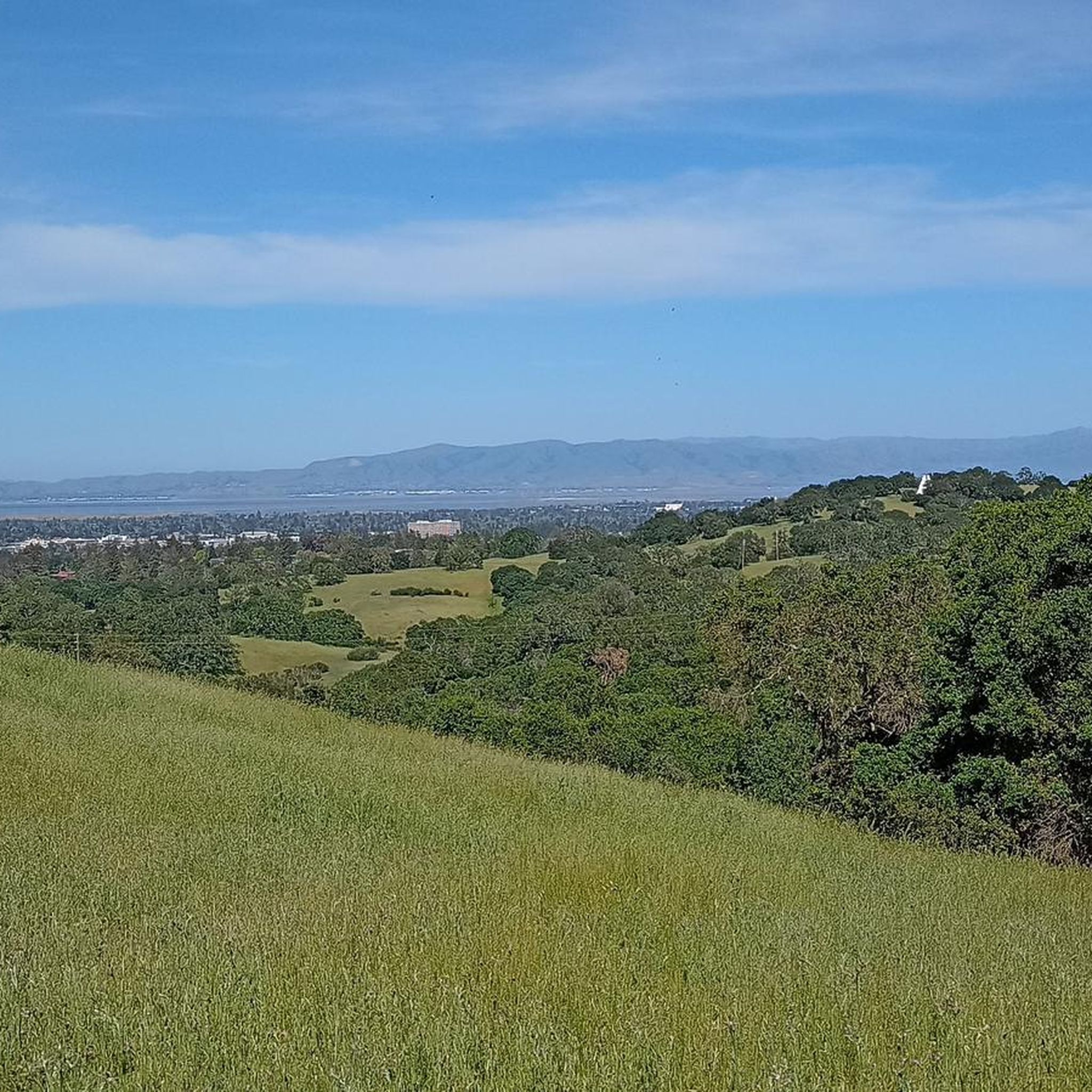
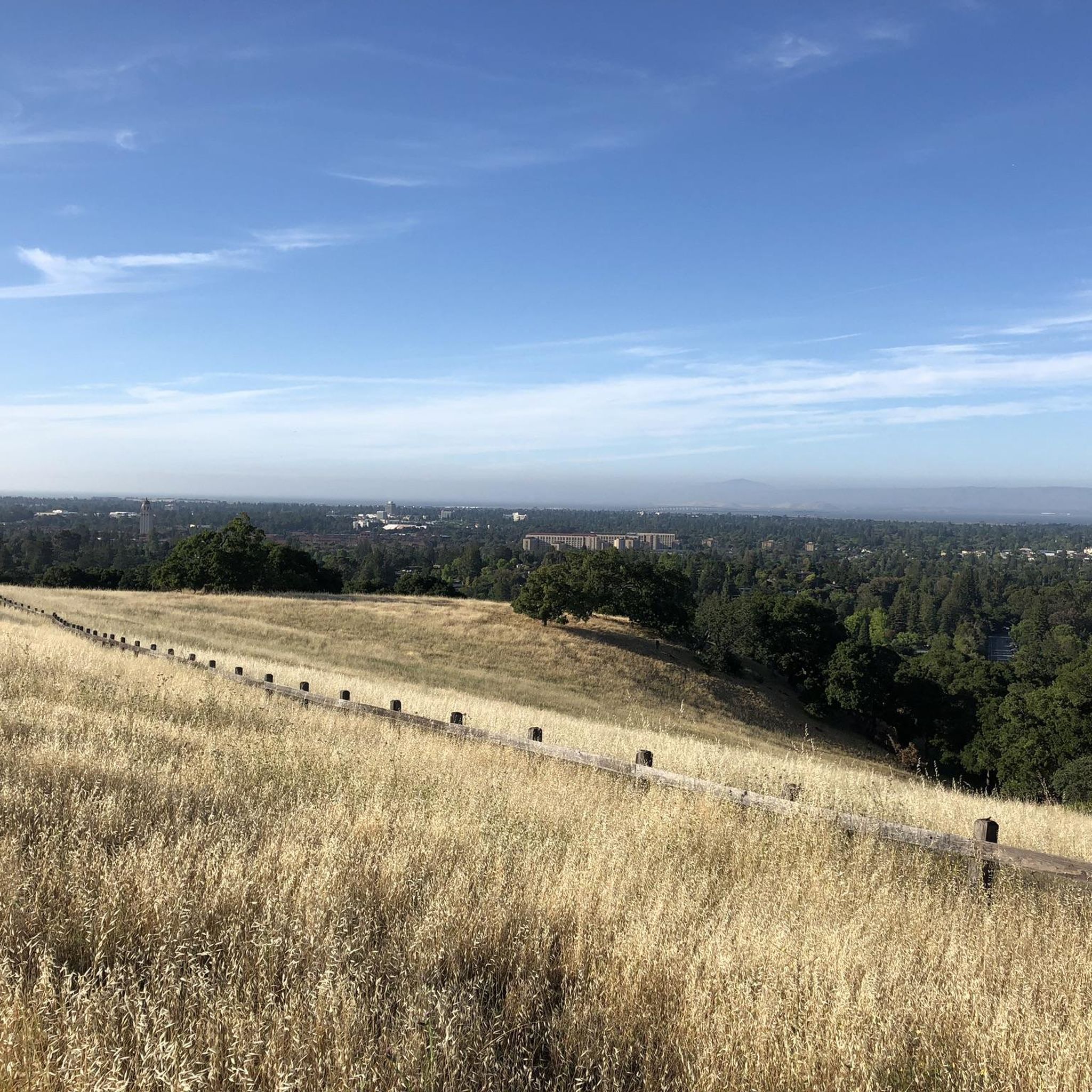
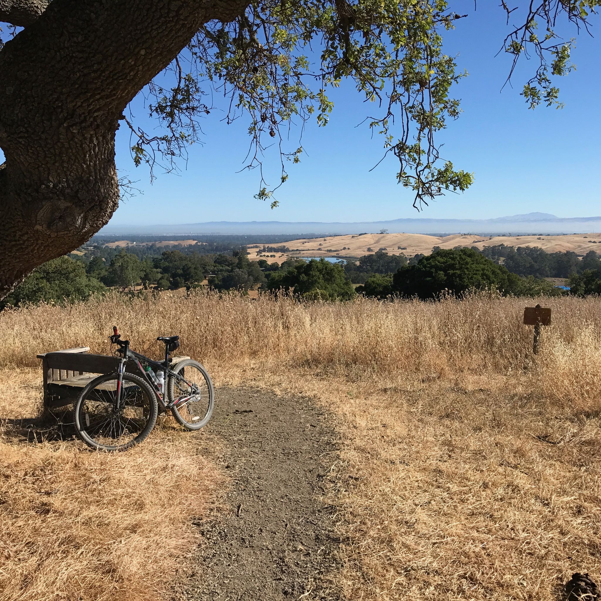
- Another top favourite among local runners is The Dish loop from West Menlo Park, a moderate 7.5 miles (12.0 km) path. This route features varied terrain with some elevation gain and scenic views.
- Local runners also love the San Francisco Bay Trail – Bayfront Salt Marsh loop from East Palo Alto, a 6.1 miles (9.8 km) trail leading through bayfront parkland, often completed in about 1 hour 2 minutes.
- Jogging around Atherton is defined by well-maintained park pathways, paved bayfront trails, and shaded routes. The network offers options for different ability levels.
- The routes in Atherton are highly rated by the komoot community with an average score of 4.4 stars from over 35 reviews. More than 3000 runners have used komoot to explore Atherton's varied terrain.
Last updated: August 19, 2026
56
runners
5.24km
00:34
20m
20m
Moderate run. Good fitness required. Mostly paved surfaces. Suitable for all skill levels.
24
runners
Moderate run. Good fitness required. Mostly paved surfaces. Suitable for all skill levels.

Sign up for free
5.0
(1)
10
runners
9.68km
01:00
20m
20m
Moderate run. Good fitness required. Mostly paved surfaces. Suitable for all skill levels.
16
runners
7.42km
00:47
20m
20m
Moderate run. Good fitness required. Mostly paved surfaces. Suitable for all skill levels.
12
runners
8.80km
00:56
40m
40m
Moderate run. Good fitness required. Mostly paved surfaces. Suitable for all skill levels.
Get access to more routes and recommendations from other explorers.
Sign up for free
Already have an account?
Our route recommendations are based on thousands of hikes, rides, and runs completed by other people on komoot.
Start today with a free account
Your next adventure awaits.
Login or Signup
Tips from the Community

This 22-acre park has some lovely gardens and a few nice, historical buildings with walking trails around them. It's a nice detour in an otherwise road-heavy area.
0
0

This 160-acre park is surrounded on three sides by the San Francisco Bay National Wildlife Refuge, making it an excellent place to spot wildlife, especially of the winged variety.
1
0
The San Francisco Bay Trail consists of over 350 miles of interconnected trails around the eponymous bay. This section, between the urban sprawl and evaporation bonds for salt mining, won't win any awards for its scenic views. However, it is a nice separate trail that allows you to ride away from road traffic.
0
0

This stunning park spans 160 acres and is surrounded on three sides by the Don Edwards San Francisco Bay National Wildlife Refuge. It features an extensive trail system (some paved, mostly unpaved) that is open to both hikers and cyclists, providing ample opportunity to explore the park's hills and viewpoints. There is plenty of parking, restrooms, a water bottle filling station, and lovely benches throughout the grounds, making it an ideal setting for spending a day outdoors.
0
0
If you look to your north you'll see some former salt ponds that were freshly exposed to the tides with the breaching of a nearby levee. Now, those rehabilitated ponds are an integral part of restoring wetlands in this area.
0
0

Lake Lagunita was created in 1870 to provide irrigation to the Palo Alto Stock Farm. The Lake has not been filled by the city since 2001, but is now fed by a drainage basin that serves as a important breeding ground for amphibians, rabbits, and squirrels.
0
0

Bedwell Bayfront Park is 160 acres in size and encourages hiking, running, bicycling, dog walking, bird watching, kite flying, and photography. This Park is walled in by Don Edwards San Francisco Bay National Wildlife Refuge, so the chances of seeing wildlife is higher here.
1
0
Bayfront Salt Marsh was run by the Leslie Salt Company in the 1950s, and levies were built. Later, in 1989, Midpen Company purchased the property and opened Ravenswood Preserve for public access. Restoration of the marsh began in 2000, when the old levees were removed and water returned.
0
0
Frequently Asked Questions
How many running routes are available around Atherton?
Atherton offers a wide selection of running routes, with over 240 different options available for you to explore. These routes cater to various preferences, from easy strolls to more challenging runs.
What types of terrain can I expect on jogging routes in Atherton?
Jogging around Atherton primarily features well-maintained park pathways, extensive paved bayfront trails, and shaded routes. You'll find accessible options with relatively flat, paved surfaces, particularly in parks like Cartan Athletic Fields and along Sand Hill Road, as well as the scenic San Francisco Bay Trail.
Are there any easy running routes for beginners in Atherton?
Yes, Atherton has over 30 easy running routes perfect for beginners or those looking for a relaxed jog. These typically feature well-maintained, flat, and paved surfaces, such as those found in Holbrook-Palmer Park or along the shaded paths of Sand Hill Road.
Can I find challenging running paths in Atherton?
For more advanced runners, Atherton offers nearly 40 routes graded as difficult, and over 170 routes considered moderate. Trails like The Dish loop from West Menlo Park provide varied terrain with some elevation gain, offering a good challenge.
Are there any circular running routes in Atherton?
Yes, many of the popular running routes in Atherton are circular, allowing you to start and end at the same point. Examples include the Bedwell Bayfront Park loop from Salt Evaporators and the San Francisco Bay Trail – Bedwell Bayfront Park loop from East Palo Alto, both offering scenic loops.
What do other runners enjoy most about jogging in Atherton?
The running routes in Atherton are highly rated by the komoot community, with an average score of 4.3 stars from over 40 reviews. Runners often praise the well-maintained park pathways, paved bayfront trails, and shaded routes, appreciating the variety and accessibility for different ability levels.
Are there any scenic landmarks or natural features to see while running?
Absolutely! Many routes offer scenic views and points of interest. You can enjoy bayfront views, spot wildlife in areas like Bedwell Bayfront Park, or explore natural highlights such as Oracle Lagoon or Ravenswood Open Space Preserve. The San Francisco Bay Trail itself is a major scenic feature.
Are the jogging routes in Atherton dog-friendly?
While specific dog-friendly regulations vary by park and trail, many outdoor spaces in the broader Atherton area, such as Bedwell Bayfront Park, are generally welcoming to dogs on leash. It's always best to check local signage or park websites for the most current pet policies before heading out.
Where can I park when visiting Atherton's running trails?
Parking availability varies by location. Popular spots like Bedwell Bayfront Park and Holbrook-Palmer Park typically offer dedicated parking areas. For routes starting in residential areas, street parking might be an option, but always be mindful of local parking regulations and signage.
Is public transport available to access running routes in Atherton?
Public transport options to specific trailheads in Atherton can be limited, as the area is largely residential. However, some routes, particularly those closer to East Palo Alto or Menlo Park, might be accessible via local bus services. Planning your route in advance and checking local transit schedules is recommended.
What is the best time of year for running in Atherton?
Atherton generally enjoys a mild climate, making it suitable for running year-round. Spring and fall offer pleasant temperatures, while summer can be warm but often features shaded paths. Winter is typically mild, though occasional rain might occur. Always check the weather forecast before your run.
Are there any routes that feature lakes or water views?
Yes, several routes offer beautiful water views. The San Francisco Bay Trail, which passes through Bedwell Bayfront Park, provides extensive views of the bay. Additionally, nearby attractions include Oracle Lagoon and Arastradero Lake, which can be incorporated into longer runs or visited separately.
Most popular attractions around Atherton

Get inspired with the komoot mobile app


Explore more
Browse the best Running Trails & Routes in other regions.
