The best walks and hikes around Atherton
4.6
(239)
4,183
hikers
219
hikes
Hiking around Atherton explores a landscape of rolling hills, dense woodlands, and open space preserves. The region is characterized by its network of trails that wind through county parks and wildlife refuges, offering a mix of shaded forest paths and more exposed routes. The terrain varies from gentle, flat trails around baylands to steeper climbs within the wooded hillsides.
Best hiking trails around Atherton
- The most popular hiking route is Stanford Campus Walk, a 3.4 miles (5.5 km) trail that takes 1 hour 24 minutes to complete. This easy route features minimal elevation gain through the university grounds.
- Another top favourite among local hikers is Arroyo Ojo De Agua Loop, an easy 1.0 mile (1.7 km) path. This trail offers a short, gentle walk with some elevation through a natural area.
- Local hikers also love the San Francisco Bay Trail: Bedwell Bayfront Park Loop, a 3.5 miles (5.7 km) trail leading through a bayfront park, often completed in about 1 hour 28 minutes.
- Hiking around Atherton is defined by wooded hills, open space preserves, and trails along the baylands. The network of paths provides options for different ability levels, from easy hikes to more strenuous routes.
- The routes in Atherton are highly rated by the komoot community with an average score of 4.6 stars from over 260 reviews. More than 4,300 hikers have used komoot to explore Atherton's varied terrain.
Last updated: August 18, 2026
5.0
(1)
5
hikers
5.52km
01:24
10m
10m
The Stanford Campus Walk offers a delightful and easy stroll through the heart of Stanford University, showcasing its stunning architecture and meticulously maintained grounds. You'll wander past iconic sandstone buildings of the Main Quad, the impressive Memorial Church, and serene green spaces like the Arizona Cactus Garden, all while enjoying a mostly flat, paved path. This 3.4-mile (5.5 km) route, with a minimal 35 feet (11 metres) of elevation gain, is a perfect way to immerse yourself in the university's heritage and design, taking about 1 hour and 23 minutes.
Planning your visit is straightforward for this easy walk; it's accessible for nearly everyone. Parking is available in various campus visitor lots, but it's a good idea to check for current regulations and availability, especially during weekdays. The trail is enjoyable year-round, but a clear day enhances the experience of the architectural details and landscaped areas. There are no permits or fees required for this public access route.
This walk provides a rich cultural and historical experience, offering a unique contrast to more traditional hiking trails in the area, such as the nearby Stanford Dish Trail. It's an excellent choice for families, history buffs, or anyone seeking a gentle outdoor activity that combines natural beauty with academic landmarks. You'll get a glimpse into the university's vibrant life and design, making it a notable option among Stanford University walking trails.
3
hikers
1.67km
00:27
30m
30m
The Arroyo Ojo De Agua Loop offers a delightful, easy stroll through the western foothills, providing serene views of the landscape and the majestic Organ Mountains in the distance. The path is predominantly sandy and smooth, making for a comfortable walk that allows you to soak in the desert atmosphere without any strenuous effort. It's one of the more popular trails for those seeking a gentle outdoor experience.
Planning your visit to this loop is straightforward, as its accessibility and gentle gradient make it suitable for most. It's a fantastic option for beginners or families looking for a quick, easy hike, especially if you're using it as a warm-up for longer adventures. The trail is generally open and welcoming, making it easy to find parking and begin your outing.
What makes this loop notable is its role as a perfect introduction to the region's open spaces and natural beauty, particularly as a sidetrack on the larger Tortugas Trail. It's an inviting route for a relaxed outing, offering a taste of the local scenery without demanding much time or energy. Consider it a peaceful alternative to more crowded trails, ideal for a tranquil escape.

Sign up for free
5
hikers
5.67km
01:29
40m
40m
Explore the easy 3.5-mile Bedwell Bayfront Park Loop, offering bay views, birdwatching, and unique art along the San Francisco Bay Trail.
24
hikers
Easy hike. Great for any fitness level. Easily-accessible paths. Suitable for all skill levels.
16
hikers
3.53km
00:54
10m
10m
Easy hike. Great for any fitness level. Easily-accessible paths. Suitable for all skill levels.
Get access to more routes and recommendations from other explorers.
Sign up for free
Already have an account?
Our route recommendations are based on thousands of hikes, rides, and runs completed by other people on komoot.
Start today with a free account
Your next adventure awaits.
Login or Signup
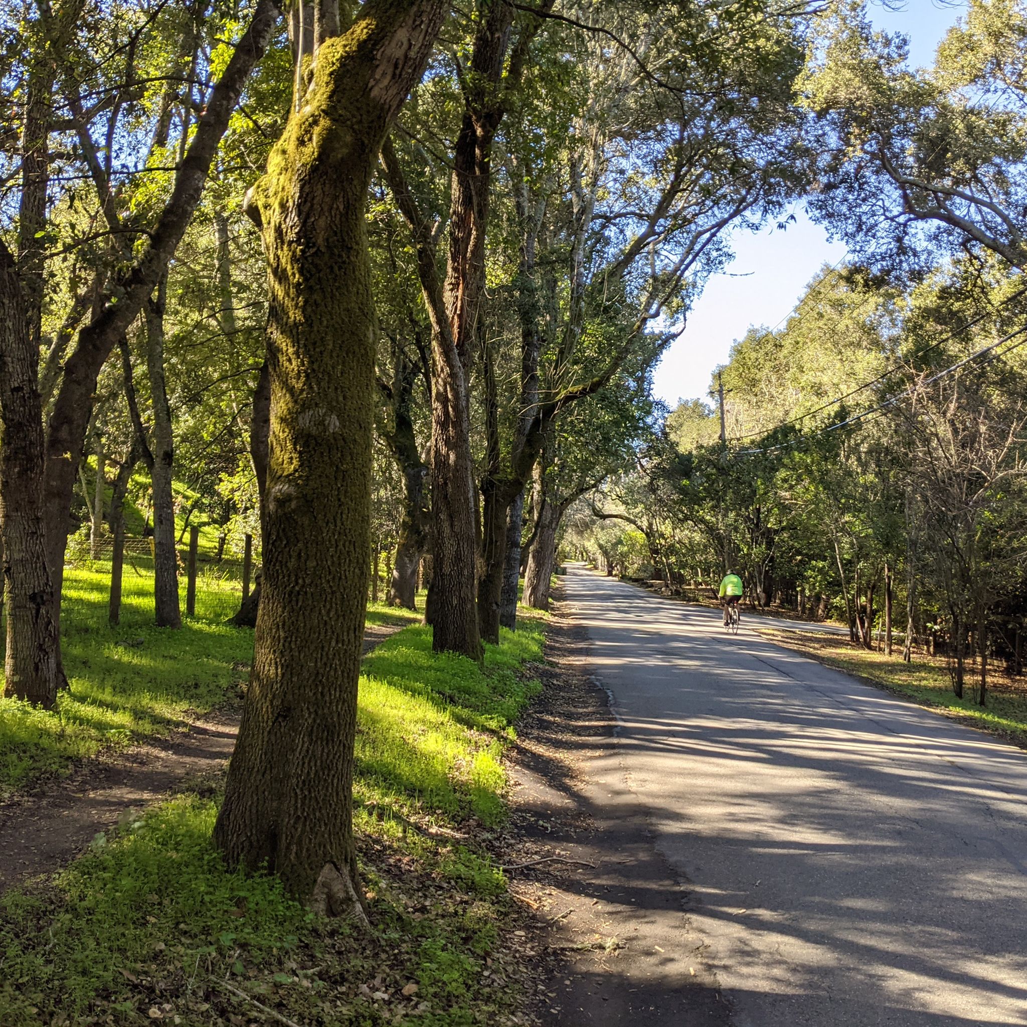

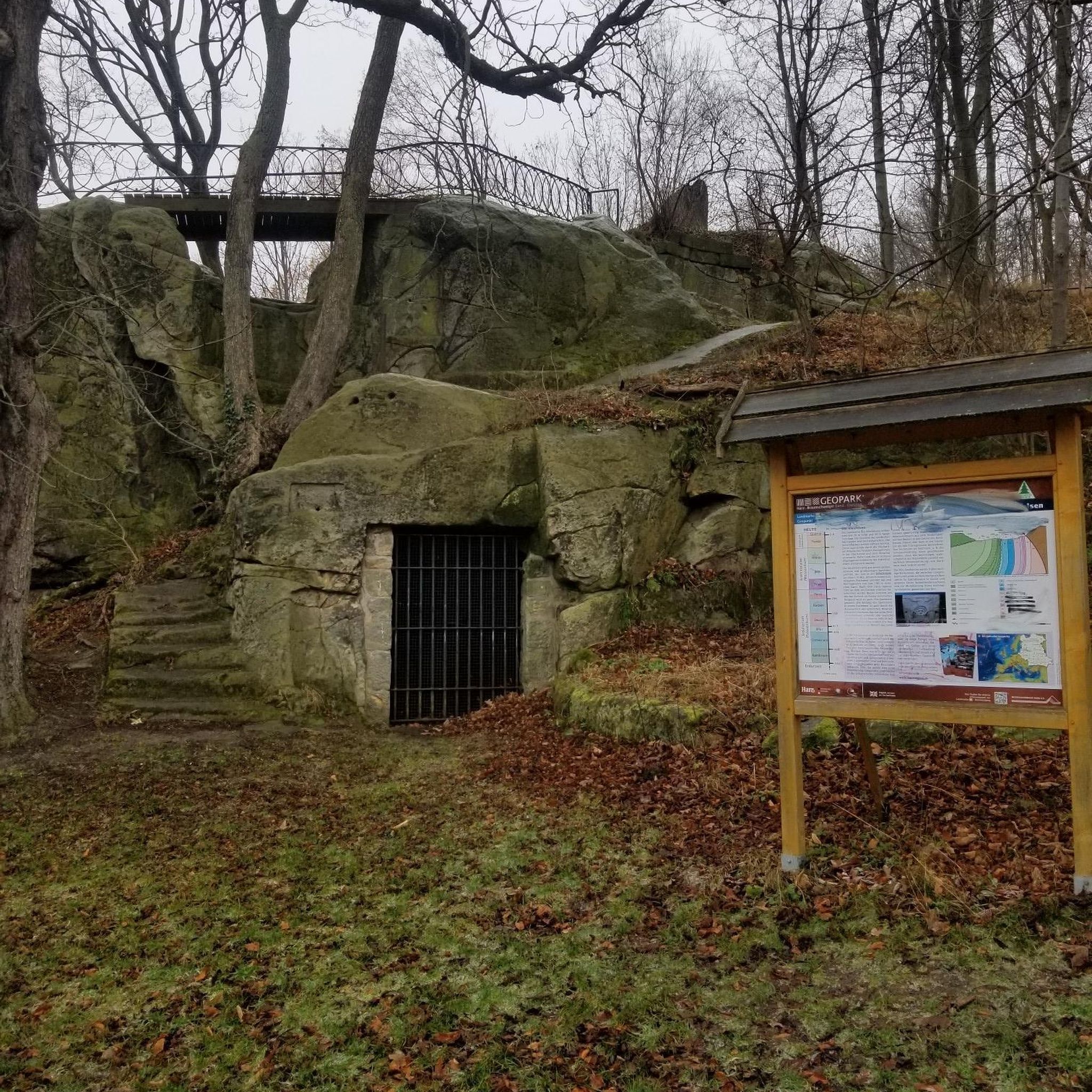

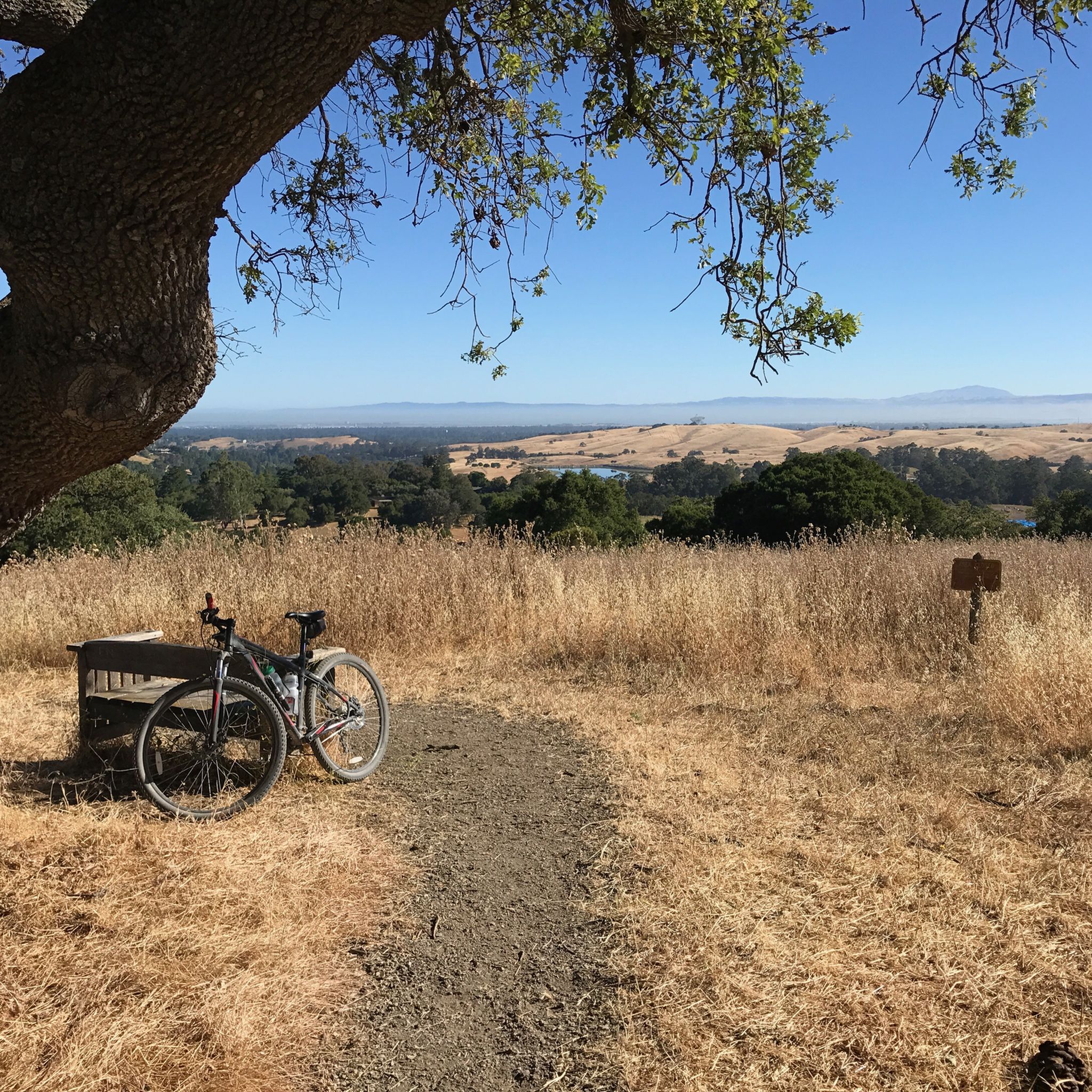
Tips from the Community

A sculpture made by Augustin Rodnin
0
0

The Main Quad and Memorial Court are part of Stanford University's academic preserve. Memorial Court features The Burghers of Calais by Auguste Rodin, from the largest Rodin sculpture collection outside Paris.
1
0

This 160-acre park is surrounded on three sides by the San Francisco Bay National Wildlife Refuge, making it an excellent place to spot wildlife, especially of the winged variety.
1
0

The trails in the park are fantastic, winding pathways that offer you the choice of how you want to explore the area. These trails lead to elevated vantage points that boast spectacular views of the former salt ponds of the south bay, especially during sunset. They are suitable for both hiking and biking and are a great addition to your journey along the San Francisco Bay Trail or a place to spend the day enjoying the views.
0
0
This stunning park spans 160 acres and is surrounded on three sides by the Don Edwards San Francisco Bay National Wildlife Refuge. It features an extensive trail system (some paved, mostly unpaved) that is open to both hikers and cyclists, providing ample opportunity to explore the park's hills and viewpoints. There is plenty of parking, restrooms, a water bottle filling station, and lovely benches throughout the grounds, making it an ideal setting for spending a day outdoors.
0
0


The Main Quad is the oldest part of Stanford University. The cornerstone of the Quad was laid in May of 1887 and completed in 1905. This 17-acre hallmark of the university is a great place to run through and take in the history.
1
0

This is a public access Arboretum on the grounds of Stanford University and predates the university itself. Today the collection of native and non-native trees has more than 350 species from all over the world.
0
0
Frequently Asked Questions
Are there any easy, family-friendly hikes in the Atherton area?
Yes, the region offers several gentle trails perfect for families or a relaxed walk. A great option is the Bedwell Bayfront Park loop, which is a mostly flat walk with open views. Another excellent choice is the trail to Schilling Lake, a short and accessible path in the Thornewood Open Space Preserve.
What are some good places for hiking around Atherton?
The area is rich with excellent hiking spots. Wunderlich County Park is a local favorite, known for its extensive network of trails through redwood and oak forests. For coastal scenery and birdwatching, the Don Edwards San Francisco Bay National Wildlife Refuge is a top destination. Thornewood Open Space Preserve offers quieter, shaded trails, while Bedwell Bayfront Park provides open, sunny paths with views of the bay.
Are there any challenging hikes for more experienced hikers?
Definitely. For those seeking a strenuous workout with significant elevation gain, the Alambique & Skyline Trail Loop in Wunderlich County Park is a demanding route that rewards hikers with a deep immersion in the region's woodlands. It's a long trail that requires good fitness.
What kind of terrain can I expect on the trails?
The terrain around Atherton is quite varied. You'll find everything from flat, paved, or gravel paths in the baylands areas like the Don Edwards Wildlife Refuge to steep, dirt single-track trails in the wooded hills of Wunderlich County Park. Many trails are well-shaded under a canopy of redwood and oak trees, while others are more exposed.
How many hiking trails are available around Atherton?
There are over 160 hiking routes to explore in and around Atherton. The network includes a wide variety of trails, from short, easy walks to challenging all-day hikes, ensuring there's something for every skill level.
What do other hikers think of the trails in this area?
The trails around Atherton are highly regarded by the komoot community, with an average rating of 4.6 out of 5 stars. Hikers frequently praise the well-maintained paths, the beautiful redwood forests in parks like Wunderlich, and the peaceful atmosphere of the open space preserves.
Are there any circular or loop trails available?
Yes, many of the most popular hikes are loop trails, allowing you to enjoy a varied journey without retracing your steps. A great moderate option is the Bear Gulch & Alambique Trail loop, which takes you on a scenic circuit through Wunderlich County Park.
Where can I find trails suitable for wildlife viewing?
For wildlife and birdwatching, your best bet is the Inner Bair Island via San Francisco Bay Trail. This trail runs through a national wildlife refuge, offering excellent opportunities to see shorebirds and other marshland creatures in their natural habitat.
Are there any good shaded hikes for hot days?
Many trails in the area are perfect for warm weather thanks to ample tree cover. The routes within Wunderlich County Park and Thornewood Open Space Preserve are particularly well-shaded by redwood, madrone, and oak trees, providing a cool escape from the sun.
What are the parking situations at the main trailheads?
Most of the county parks and open space preserves, such as Wunderlich County Park and Bedwell Bayfront Park, have dedicated parking lots near the main trailheads. However, these spots can fill up quickly, especially on weekends. It's always a good idea to arrive early to secure a space.
Most popular attractions around Atherton

Get inspired with the komoot mobile app


Explore more
Browse the best Hikes in other regions.
