The best mountain hikes around Pulvermaar
4.9
(158)
718
hikers
2
hikes
Mountaineering routes around Pulvermaar are situated within the Vulkaneifel region, characterized by its volcanic origins. The landscape features maars, which are volcanic lakes, alongside forested hills and elevated viewpoints. This area offers varied terrain suitable for mountaineering, from gentle ascents to more challenging paths. The region's geological history provides distinct features, including crater rims and scenic overlooks.
Best mountaineering routes around Pulvermaar
- The most popular mountaineering route is Weinfelder Church – View of the Gemündener Maar loop from Schalkenmehren,…
Last updated: July 2, 2026
5.0
(1)
3
hikers
8.31km
02:25
210m
220m
Moderate mountaineering route. Good fitness required. Easily-accessible paths. Suitable for all skill levels.
1
hikers
Easy mountaineering route. Great for any fitness level. Easily-accessible paths. Suitable for all skill levels.

Sign up for free
4.8
(152)
683
hikers
Hard mountaineering route. Great for any fitness level. Sure-footedness, sturdy shoes and alpine experience required.
5.0
(5)
23
hikers
Hard mountaineering route. Great for any fitness level. Sure-footedness, sturdy shoes and alpine experience required.
7
hikers
Hard mountaineering route. Great for any fitness level. Sure-footedness, sturdy shoes and alpine experience required.
Our route recommendations are based on thousands of hikes, rides, and runs completed by other people on komoot.
Start today with a free account
Your next adventure awaits.
Login or Signup

Other adventures around Pulvermaar

Tips from the Community

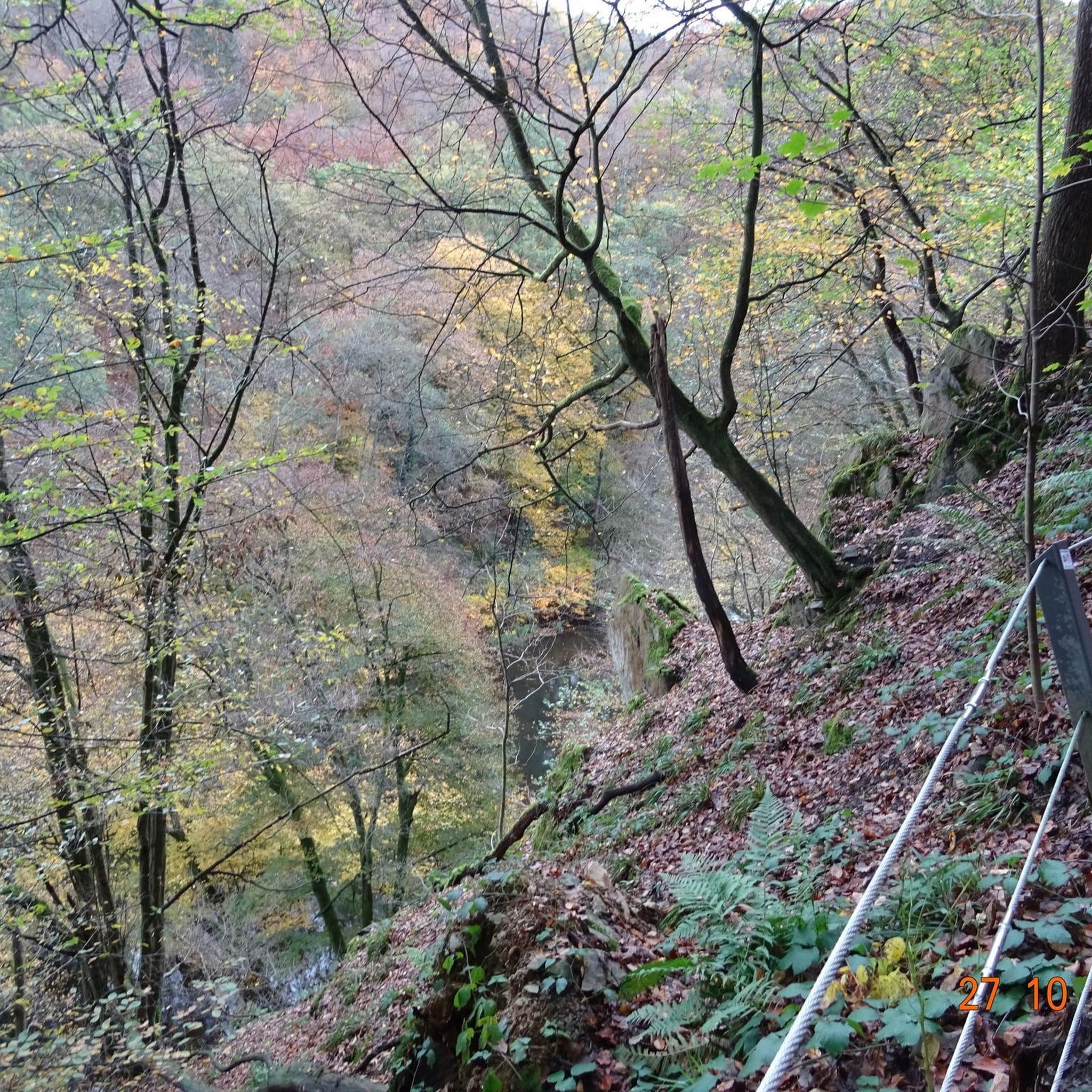
…a great challenging via ferrata in 3 stages with difficulties A - D along above the Lieser
0
0

Very nice view of the entire town.
0
0
Behind the Daun ski lift begins the mining zone for volcanic rock near the Gemünden Maar.
0
0
Small ski lift (if there is a bit more snow in winter)
0
0

This is where real climbers come into their own. But that wasn't part of our route.
0
0

There are many wonderful plants to admire in and around the open-cast mine. Broom, lupins, clover...
0
0

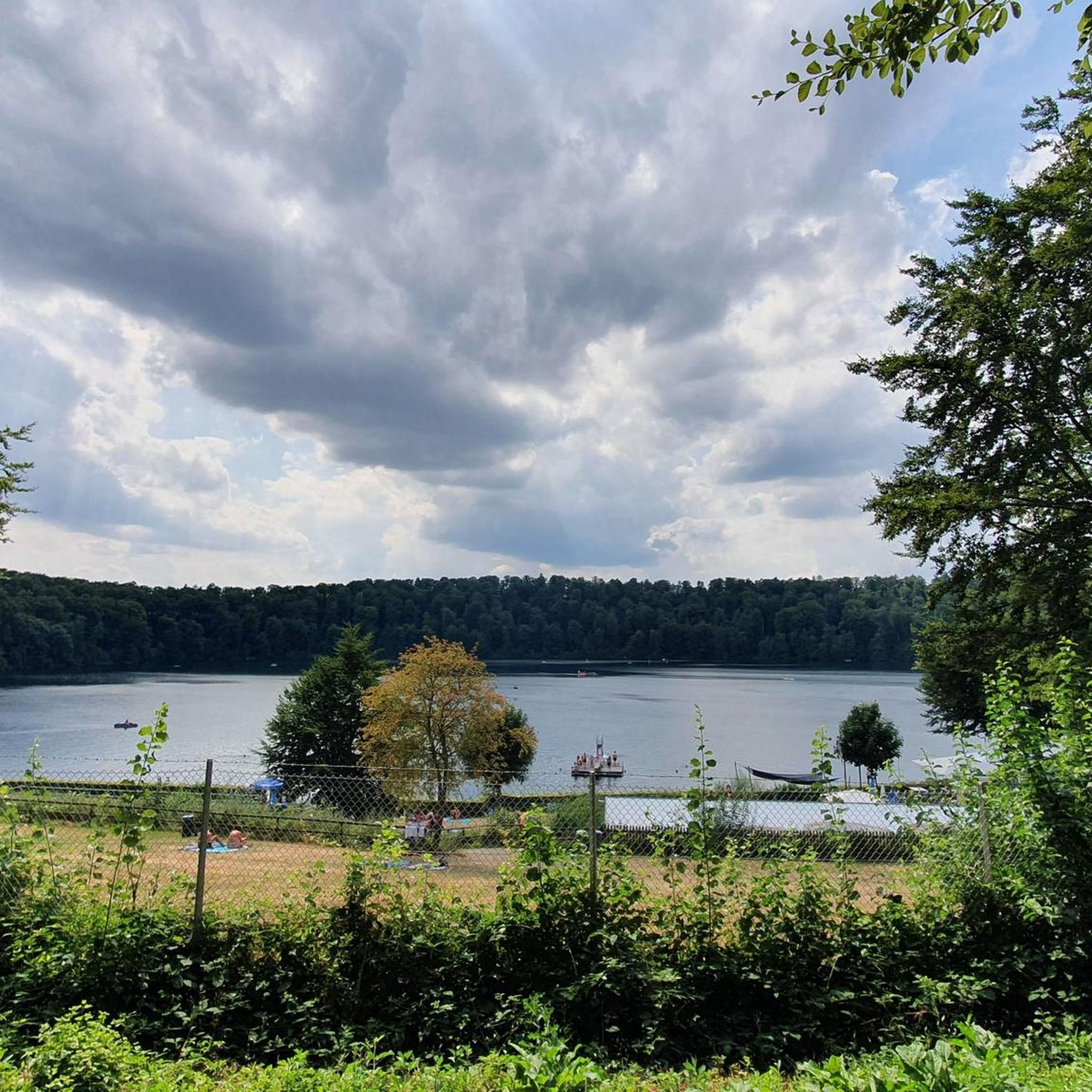
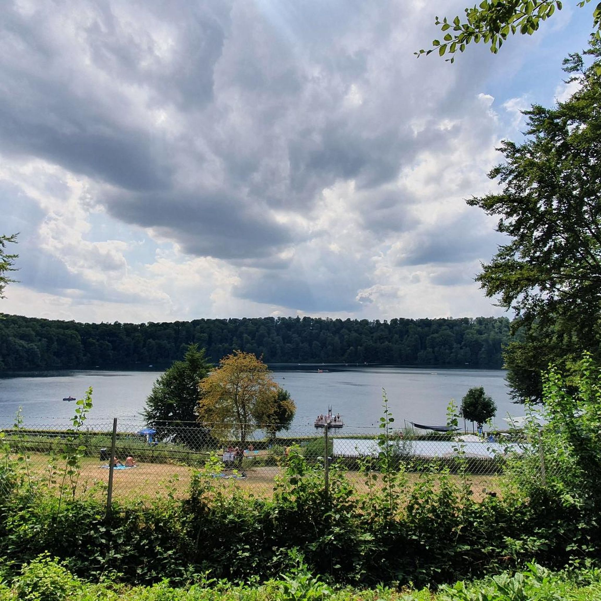
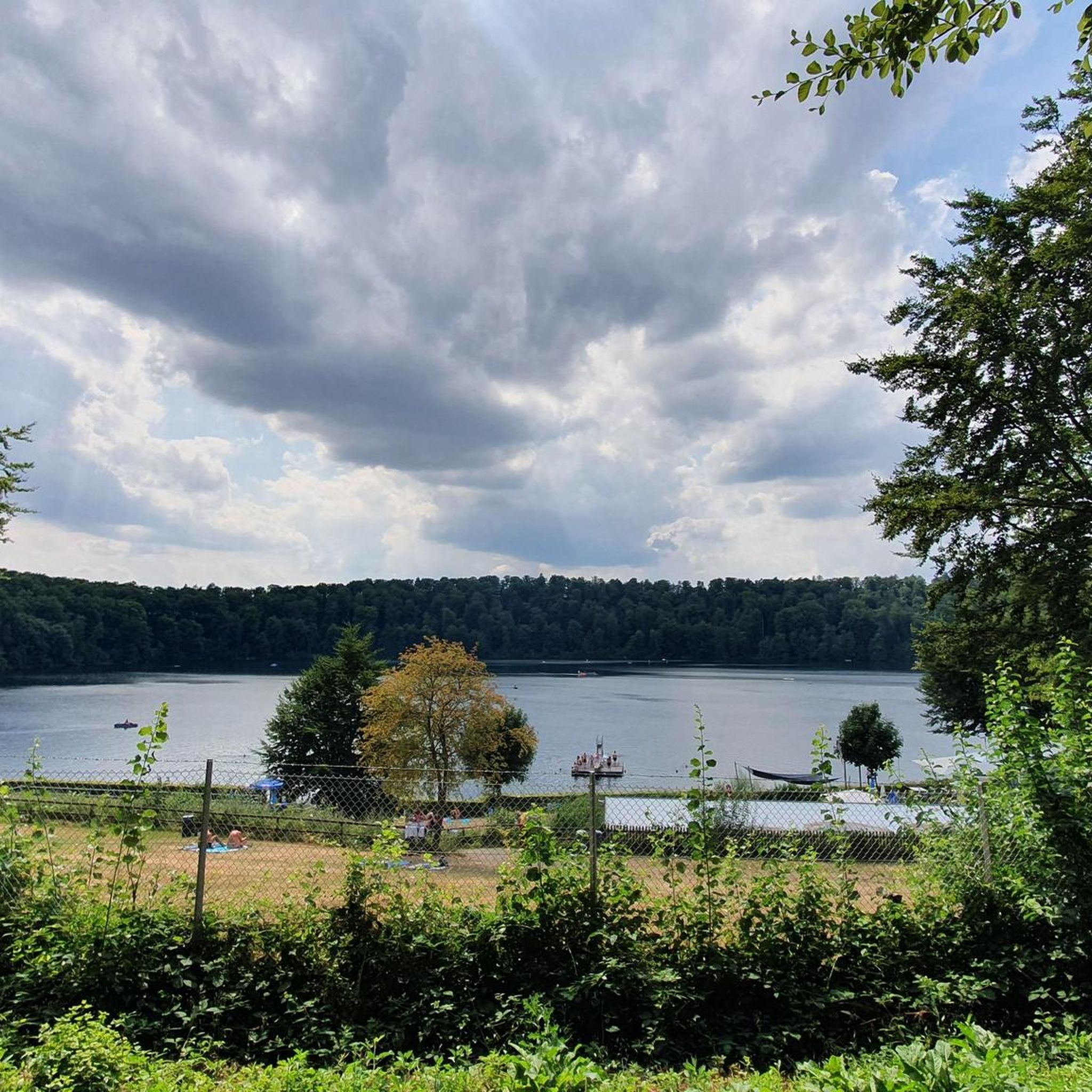
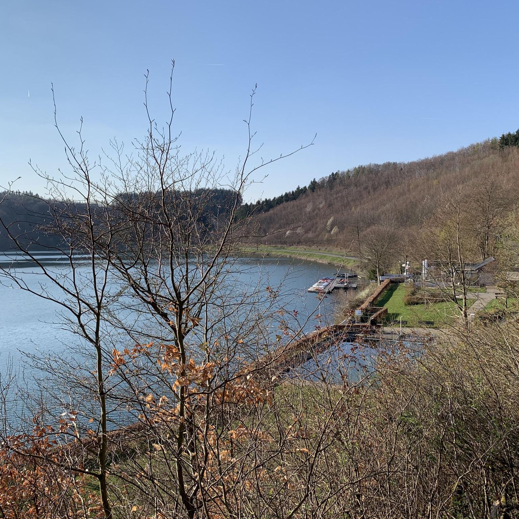
The Daun Maars - 10,000-Year-Old Volcanic Lakes The Daun Maars were formed around 10,000 years ago from volcanic steam explosions. Hot lava rises from the Earth's interior and meets water, which suddenly evaporates. This blasts away entire mountain peaks. What remains is a deep crater that fills with water over the years and a wall of boulders surrounding the lake. The Daun Maars include the Gemünden Maar, the Weinfelder Maar, and the Schalkenmehrener Doppelmaar. One crater of the Schalkenmehren Maar has silted up over the millennia. The area is a nature reserve and a refuge for waterfowl and rare dragonfly species. Text / Source: deutschland-outdoor.der https://deutschland-outdoor.de/eifel/dauner-maare
13
0
Weinfelder Maar The Weinfelder Maar, formed by volcanic activity around 20,000 to 30,000 years ago, is the highest of the three Daun Maars at 487 meters above sea level. The lake is 51 meters deep and has a diameter of 396 to 429 meters. An almost melancholic atmosphere surrounds the maar. Many legends surround the tranquil Eifel eye. A castle is said to have once stood on the site of the crater, where a count lived with his wife and only child. After returning home from a hunt, the castle had sunk as punishment for the woman's nastiness, and he found only a lake where a cradle miraculously floated his child safely to the shore. If you look at the dark surface of the water long enough, it is said that you can make out the outline of the castle. The German landscape painter Fritz von Wille was so fascinated by the Weinfelder Maar that he repeatedly immortalized it in his paintings. Among his favorite motifs was the small chapel on the north bank, dedicated to Saint Martin. It was once the parish church of the village of Weinfeld, which was ravaged by the plague in the 16th century. Anyone who rings the bells inside by pulling the ropes can make a wish. To this day, the associated cemetery is maintained and used by the local community of Schalkenmehren. This is also where its second name, Totenmaar, comes from. Donkeys and goats have been introduced to the Weinfelder Maar to regulate vegetation. The maar's unique flora and fauna are protected. Swimming and other water sports are prohibited in the Weinfelder Maar, but a nearly two-kilometer-long path makes it a wonderful place to explore on foot. Parking: Guests can park along the L64 either in the parking lot at the Weinfelder Maar or on the Maarsattel between the Weinfelder Maar and the Schalkenmehrener Maar. Text / Source: GesundLand Vulkaneifel GmbH, Leopoldstr. 9 A, 54550 Daun https://www.eifel.info/a-weinfelder-maar
13
0
Frequently Asked Questions
How many mountaineering routes are available around Pulvermaar?
There are several mountaineering routes around Pulvermaar, with a total of 5 tours listed in this guide. These range from easy strolls to more challenging ascents, offering diverse experiences within the Vulkaneifel region.
Are there any easy mountaineering routes suitable for beginners or families?
Yes, for an easier experience, consider the Weinfelder Maar viewpoint – Dronke Tower on the Mäuseberg loop from Schalkenmehren. This 3 km (1.9 miles) route is rated easy and takes about 51 minutes, leading through forested areas to the Dronke Tower, offering a gentle introduction to the region's landscape.
What kind of geological features can I expect to see on these routes?
The Pulvermaar region is part of the Vulkaneifel, so you'll encounter distinctive volcanic features. The routes often circle maars, which are volcanic lakes, and traverse crater rims. You can also explore natural monuments like the Burden Stone Pile (Lastahuddelhuppen) and the Ancient Beech Tree, which are highlights in the area.
Are there any circular mountaineering routes around Pulvermaar?
Many of the routes in this guide are circular, allowing you to start and end at the same point. For example, the moderate View of the Gemündener Maar – Weinfelder Church loop from Schalkenmehren is an 8.3 km (5.2 miles) path that takes you around the volcanic lakes.
What are some scenic viewpoints along the mountaineering trails?
The region is known for its panoramic views. Many routes offer expansive vistas of the maars and surrounding forested hills. The Weinfelder Church – View of the Gemündener Maar loop from Schalkenmehren, for instance, provides excellent opportunities to take in the scenery.
Can I bring my dog on the mountaineering routes around Pulvermaar?
Generally, dogs are welcome on the trails around Pulvermaar. However, it's always advisable to keep them on a leash, especially in nature reserves or near livestock, and to carry water for them. Please be mindful of local regulations and other hikers.
Are there more challenging mountaineering options for experienced hikers?
Yes, for those seeking a more demanding experience, routes like the Keep of Oberburg Castle loop from Manderscheid are rated as difficult. This 4.3 km (2.7 miles) route involves more significant elevation changes, providing a good workout.
What is the best time of year for mountaineering in the Pulvermaar area?
The Vulkaneifel region is beautiful year-round. Spring brings blooming wildflowers, summer offers lush greenery, and autumn showcases vibrant foliage. While winter mountaineering is possible, be prepared for colder temperatures and potentially icy conditions, especially on higher ground.
Are there any places to eat or drink near the trails?
The villages surrounding Pulvermaar, such as Schalkenmehren and Manderscheid, offer various cafes and pubs where you can refresh yourself after your mountaineering adventure. These establishments often provide local specialties and a cozy atmosphere.
What do other mountaineers enjoy most about the routes in Pulvermaar?
The routes in Pulvermaar are highly rated by the komoot community, with an average score of 4.9 stars from over 140 reviews. Reviewers often praise the stunning views of the maars, the tranquility of the forested paths, and the well-maintained trails that make for an enjoyable experience.
Is there public transport access to the mountaineering trailheads?
Public transport options exist within the Vulkaneifel region, connecting some of the villages. It's recommended to check local bus schedules for routes serving towns like Schalkenmehren or Manderscheid, which are common starting points for these mountaineering tours.
Where can I find parking for the mountaineering routes?
Designated parking areas are typically available in the villages where the routes begin, such as Schalkenmehren. Look for signs indicating hiker parking near the main trailheads. Some routes, like the Public Restroom at Tunierwiese – Keep of Oberburg Castle loop from Manderscheid, may even start near facilities like public restrooms with parking.
Most popular routes around Pulvermaar
Most popular attractions around Pulvermaar

Get inspired with the komoot mobile app


Explore more
Browse the best Mountain Hikes & Routes in other regions.
