The best walks and hikes around Pulvermaar
4.6
(15463)
52,516
hikers
585
hikes
Hiking around Pulvermaar offers access to a unique volcanic landscape in Germany's Eifel region. The area is characterized by Pulvermaar, a deep, water-filled volcanic crater encircled by a preserved tuff wall. Trails extend through lush forests and rolling hills, providing varied terrain for outdoor activities. This geological formation, one of the best-preserved maars in the Eifel, provides a scenic backdrop for exploration.
Best hiking trails around Pulvermaar
- The most popular hiking route is Strohner Lava Bomb – Strohner Switzerland loop…
Last updated: August 21, 2026
4.4
(97)
252
hikers
Moderate hike. Good fitness required. Easily-accessible paths. Suitable for all skill levels.
4.5
(46)
167
hikers
6.98km
01:54
100m
100m
Easy hike. Great for any fitness level. Easily-accessible paths. Suitable for all skill levels.

Sign up for free
4.3
(24)
84
hikers
13.9km
03:51
250m
250m
Moderate hike. Good fitness required. Easily-accessible paths. Suitable for all skill levels.
4.7
(18)
73
hikers
11.9km
03:12
140m
140m
Moderate hike. Good fitness required. Easily-accessible paths. Suitable for all skill levels.
4.4
(16)
58
hikers
8.69km
02:20
110m
110m
Moderate hike. Good fitness required. Easily-accessible paths. Suitable for all skill levels.
Get access to more routes and recommendations from other explorers.
Sign up for free
Already have an account?
Our route recommendations are based on thousands of hikes, rides, and runs completed by other people on komoot.
Start today with a free account
Your next adventure awaits.
Login or Signup

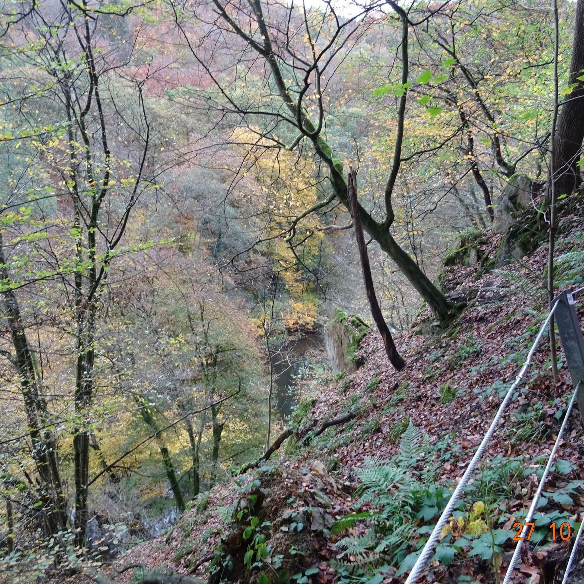
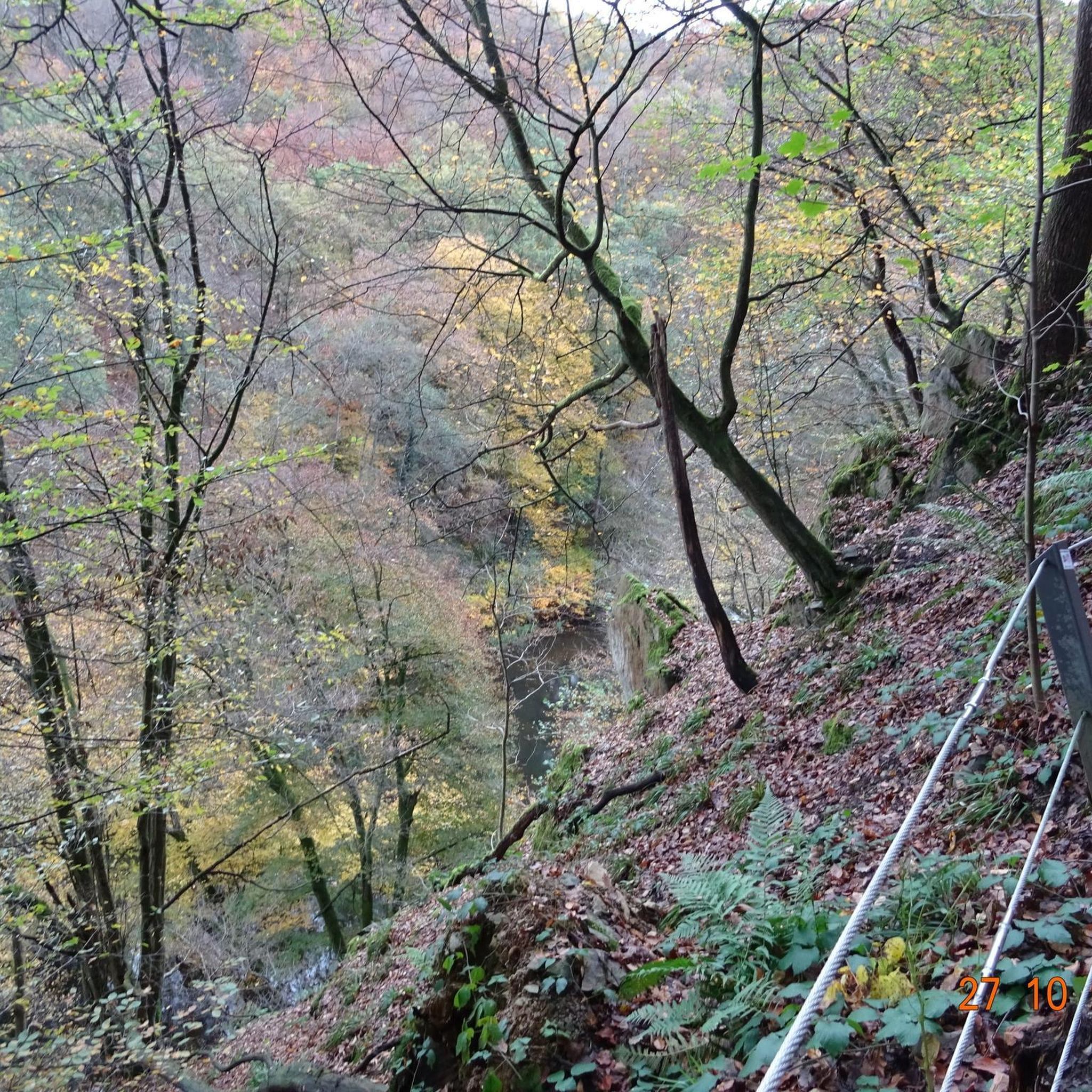
Other adventures around Pulvermaar

Tips from the Community

swimming and boating with your own inflatable boat
0
0

Impressive 250-year-old beech trees by the roadside.
0
0
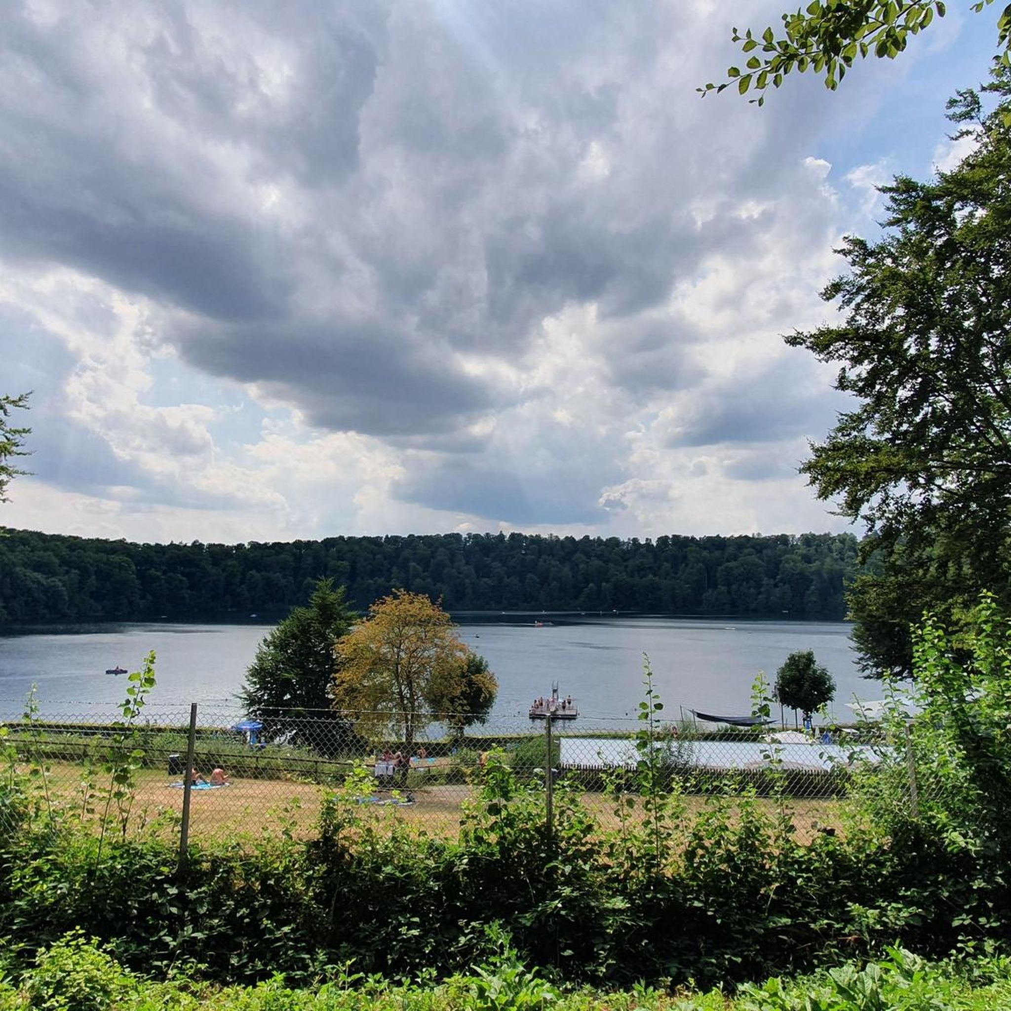
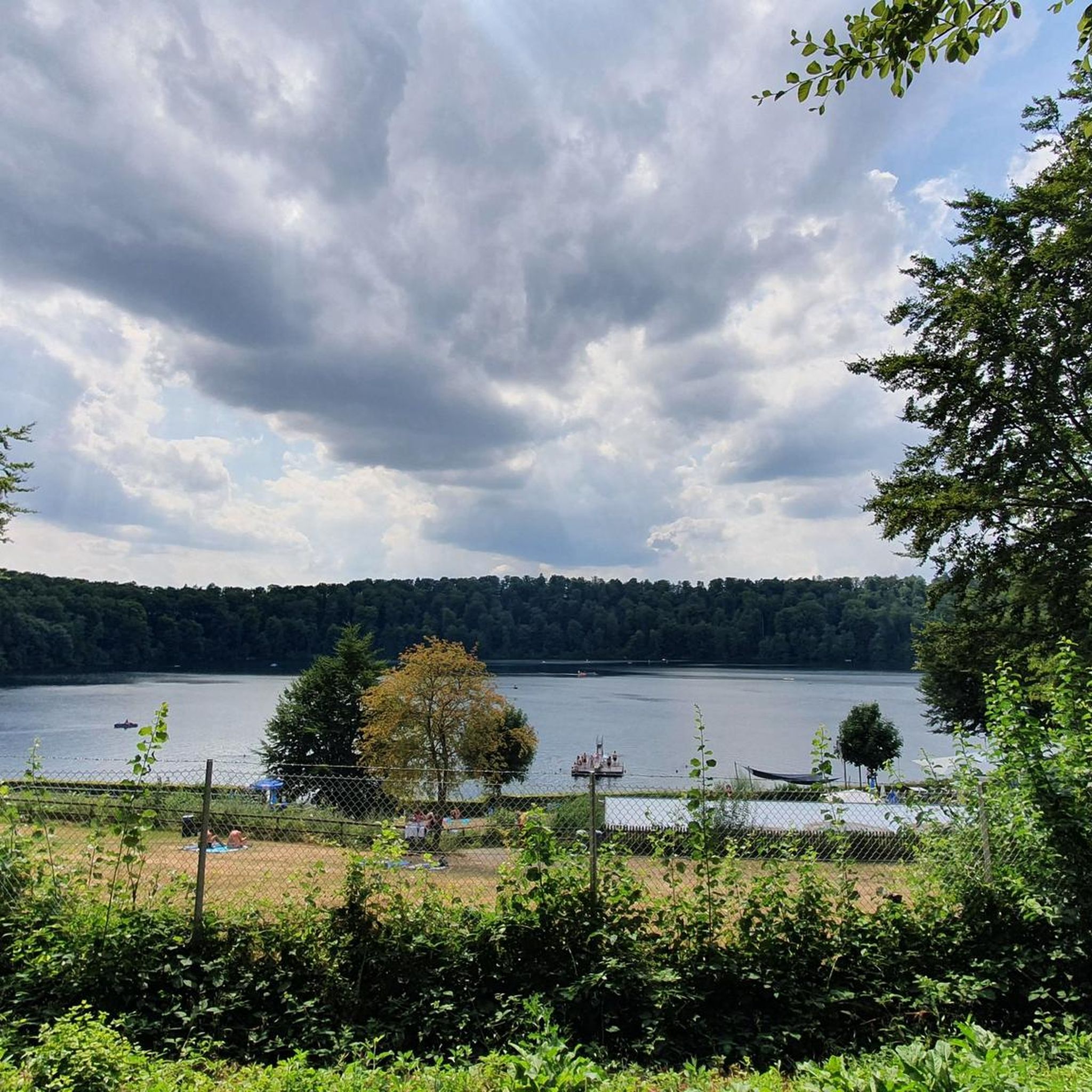
The Pulvermaar is the best-preserved maar in the Eifel: The crater is completely filled with water and surrounded by an almost closed tuff wall. It is the maar with the largest water surface and is 74 meters deep. This makes it the deepest maar in the Eifel and also one of the deepest lakes in Germany. Source: https://www.geopark-vulkaneifel.de/eifel/landschaft/maare-und-kraterseen/pulvermaar.html
0
0
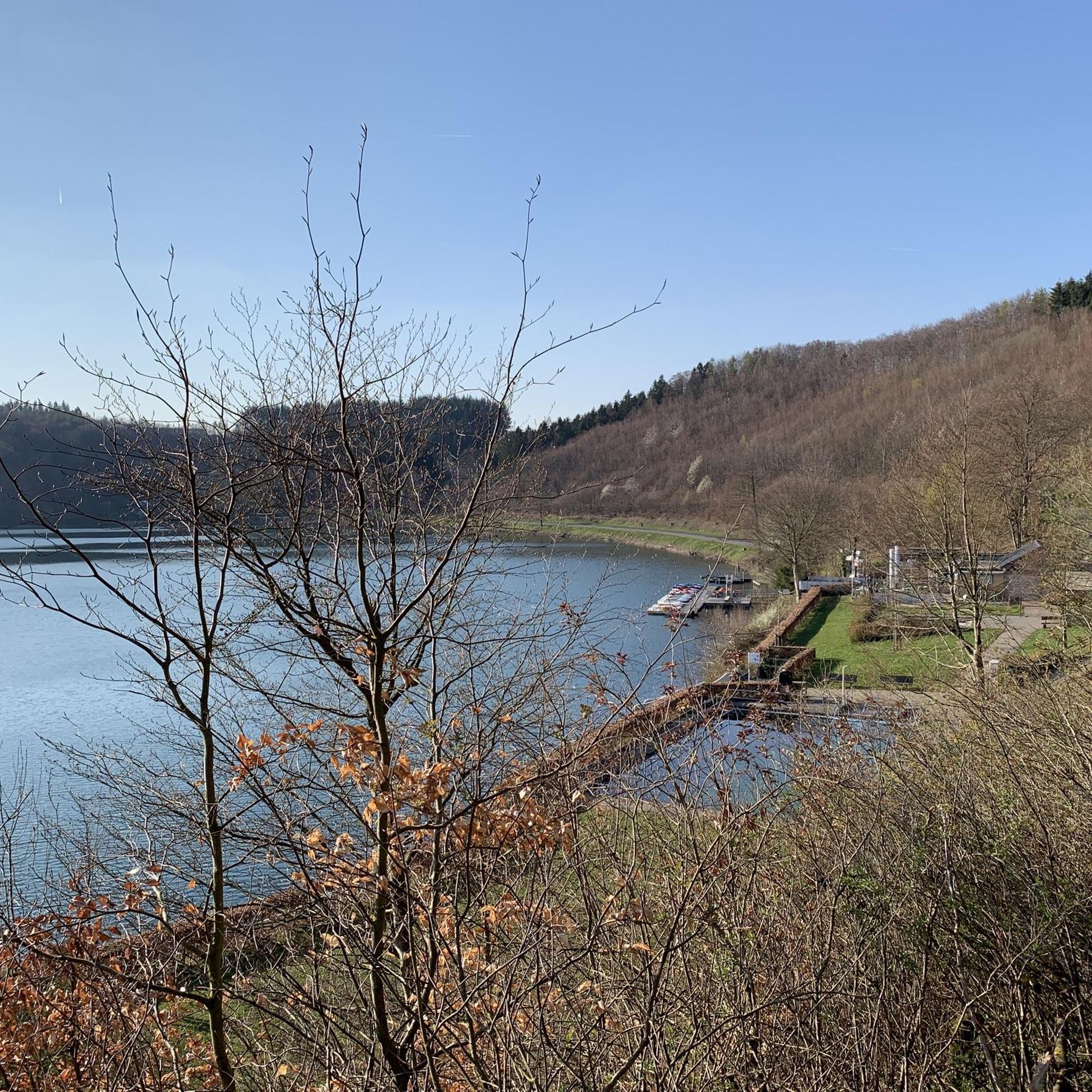
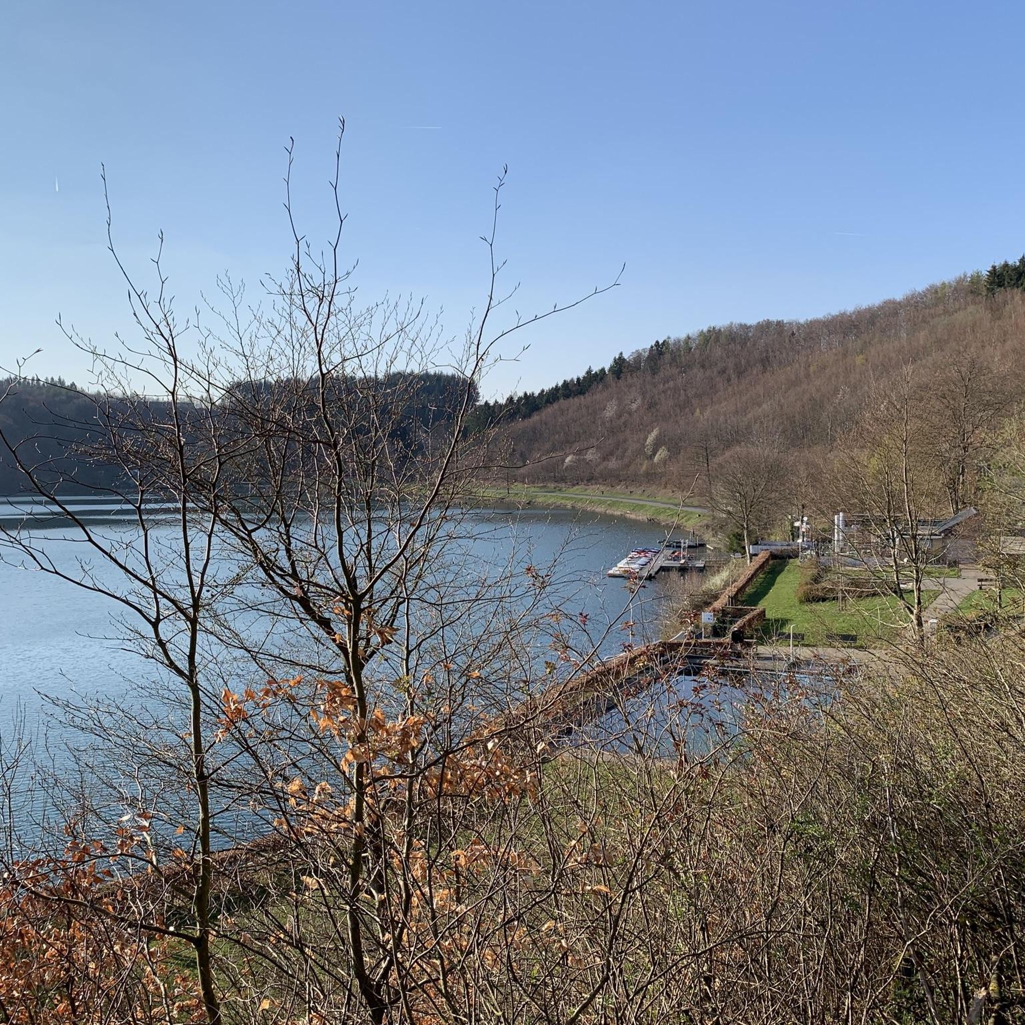
A maar lake without an inflow - the water is replenished exclusively by precipitation, surface water and groundwater. In this diverse and extremely fertile habitat, rich plant life thrives and numerous animals find a safe haven.
0
0
The Trautzberer Maar in the Wartgesberg nature reserve had been drained in the sixties because new agricultural land was to be gained. But in 2014, the Maar began to be irrigated again and has since become a small lake again.
1
0
Here you can hike relaxed. Wonderful section of the path.
0
0


For cooling down and relaxing in between. Enjoy this clear, refreshing water of the Pulvermaar. Enjoy drinks and food outdoors under trees with a view of the maar at the restaurant.
1
0
Frequently Asked Questions
What is the typical terrain and difficulty level of hikes around Pulvermaar?
The terrain around Pulvermaar is characterized by its volcanic origins, featuring rolling hills, lush forests, and paths encircling the maar lakes. You'll find a mix of well-maintained trails. Difficulty levels vary, with over 260 easy routes and more than 270 moderate options available, ensuring there's something for every fitness level.
Are there challenging hiking trails available in Pulvermaar?
While many routes are easy to moderate, there are also more challenging options for experienced hikers. The region offers over 50 difficult trails that often involve greater elevation changes and longer distances, providing a good workout amidst the volcanic landscape.
What unique natural attractions can I discover around Pulvermaar?
Pulvermaar itself is a significant natural attraction, being the best-preserved and deepest maar in the Eifel. Hikers can explore its volcanic tuff wall and enjoy the pristine lake. Other notable natural features include the Burden Stone Pile (Lastahuddelhuppen) and an Ancient Beech Tree, offering glimpses into the region's geology and ancient woodlands.
Are there good viewpoints along the hiking trails around Pulvermaar?
Yes, many trails offer scenic viewpoints. For instance, the route Pulvermaar – View over Gillenfeld loop from Immerath provides excellent vistas. The circular paths around the maar often present stunning perspectives of the deep blue lake and the surrounding forested hills.
Is public transport available to reach the hiking trails around Pulvermaar?
While specific public transport routes can vary, the main starting points for hikes, such as Gillenfeld, are generally accessible. It's advisable to check local bus schedules for connections to the smaller villages surrounding Pulvermaar before your trip.
Where can I park when visiting Pulvermaar for a hike?
Parking is typically available in and around the villages that serve as trailheads, such as Gillenfeld. Look for designated parking areas near the lake or at the start of popular routes. Some areas might have small fees, so it's good to be prepared.
What is the best time of year to hike around Pulvermaar?
The Pulvermaar region is beautiful year-round. Spring brings blooming flora, summer offers lush greenery and opportunities for swimming in the lake, while autumn showcases vibrant fall colors. Even winter hiking can be picturesque, though some paths might be slippery or require appropriate gear.
Are there family-friendly hiking options around Pulvermaar?
Absolutely. Many routes are suitable for families, including those with children. The 2.5-kilometer path directly around Pulvermaar is known for being easy to manage and shaded, making it enjoyable even in warmer weather. Shorter, less strenuous circular routes are also plentiful.
Are dogs allowed on the hiking trails around Pulvermaar?
Generally, dogs are welcome on the hiking trails around Pulvermaar. However, it's always recommended to keep them on a leash, especially in nature reserve areas or near livestock, and to clean up after them. Specific rules might apply to certain protected zones, so always look for local signage.
Are most of the hiking routes around Pulvermaar circular?
Yes, many of the hiking routes around Pulvermaar are designed as circular paths, allowing you to start and end at the same point. This is convenient for exploring the area without needing to arrange return transport. Examples include the Pulvermaar – Immerath Maar loop from Gillenfeld.
What is the typical duration of hikes in the Pulvermaar area?
Hike durations vary widely depending on the route and your pace. Easy circular routes around the maar can be completed in under two hours, while moderate trails like the Strohner Lava Bomb – Pulvermaar loop from Gillenfeld might take around 3-4 hours. Longer, more challenging routes can extend to a full day.
Are there places to eat or cafes near the hiking trails?
Yes, the villages surrounding Pulvermaar, particularly Gillenfeld, offer various amenities including cafes and restaurants where you can refuel after your hike. Some establishments might be located close to the lake, providing scenic spots for a break.
What do other hikers enjoy most about the trails in Pulvermaar?
The Pulvermaar area is highly rated by the komoot community, with an average score of 4.6 stars from over 12,000 reviews. Hikers frequently praise the unique volcanic landscape, the pristine beauty of the maar lakes, and the well-maintained trails that offer stunning views and a tranquil natural experience.
Most popular routes around Pulvermaar
Most popular attractions around Pulvermaar

Get inspired with the komoot mobile app


Explore more
Browse the best Hikes in other regions.
