The best road cycling routes around Dam Dachwig
4.4
(64)
745
riders
41
rides
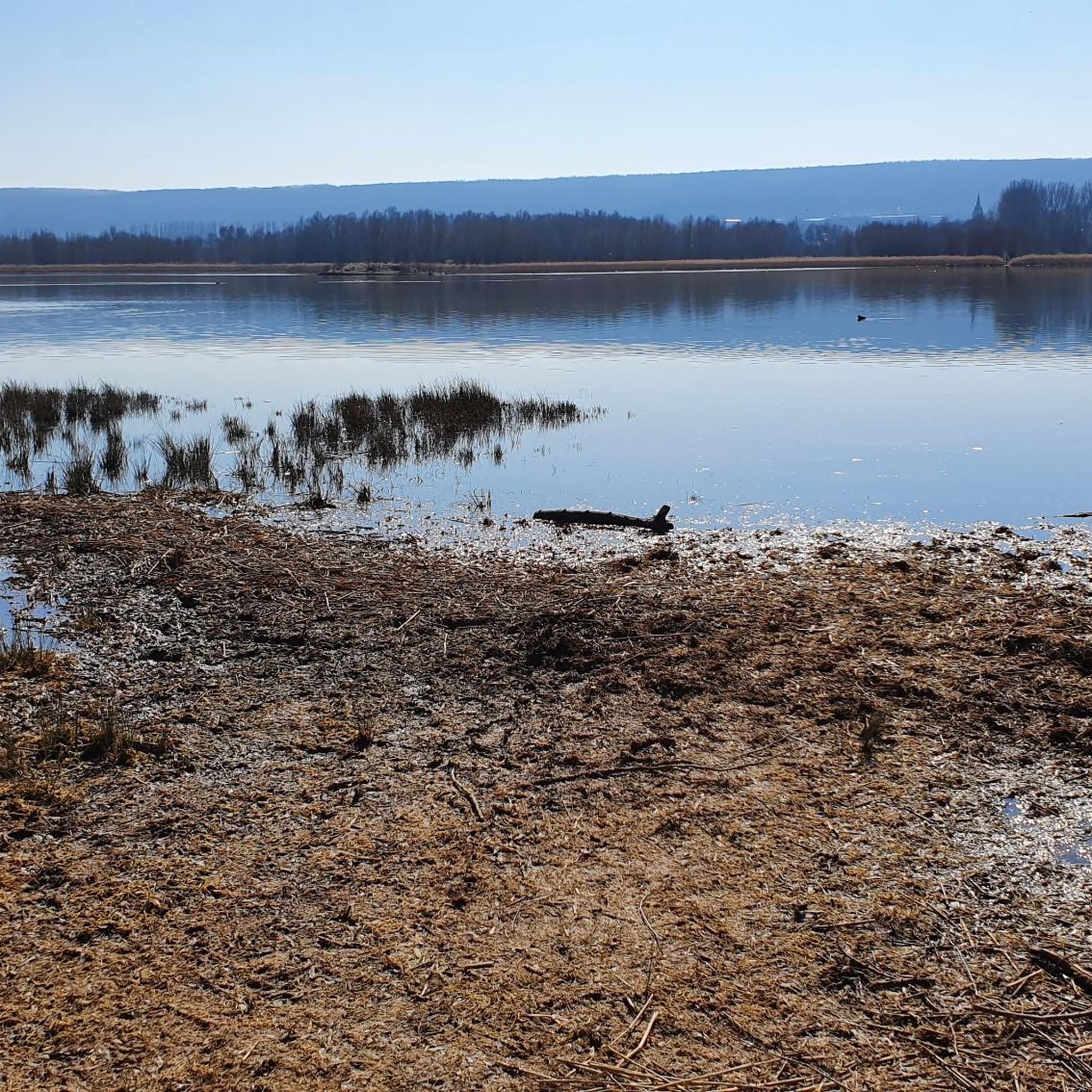
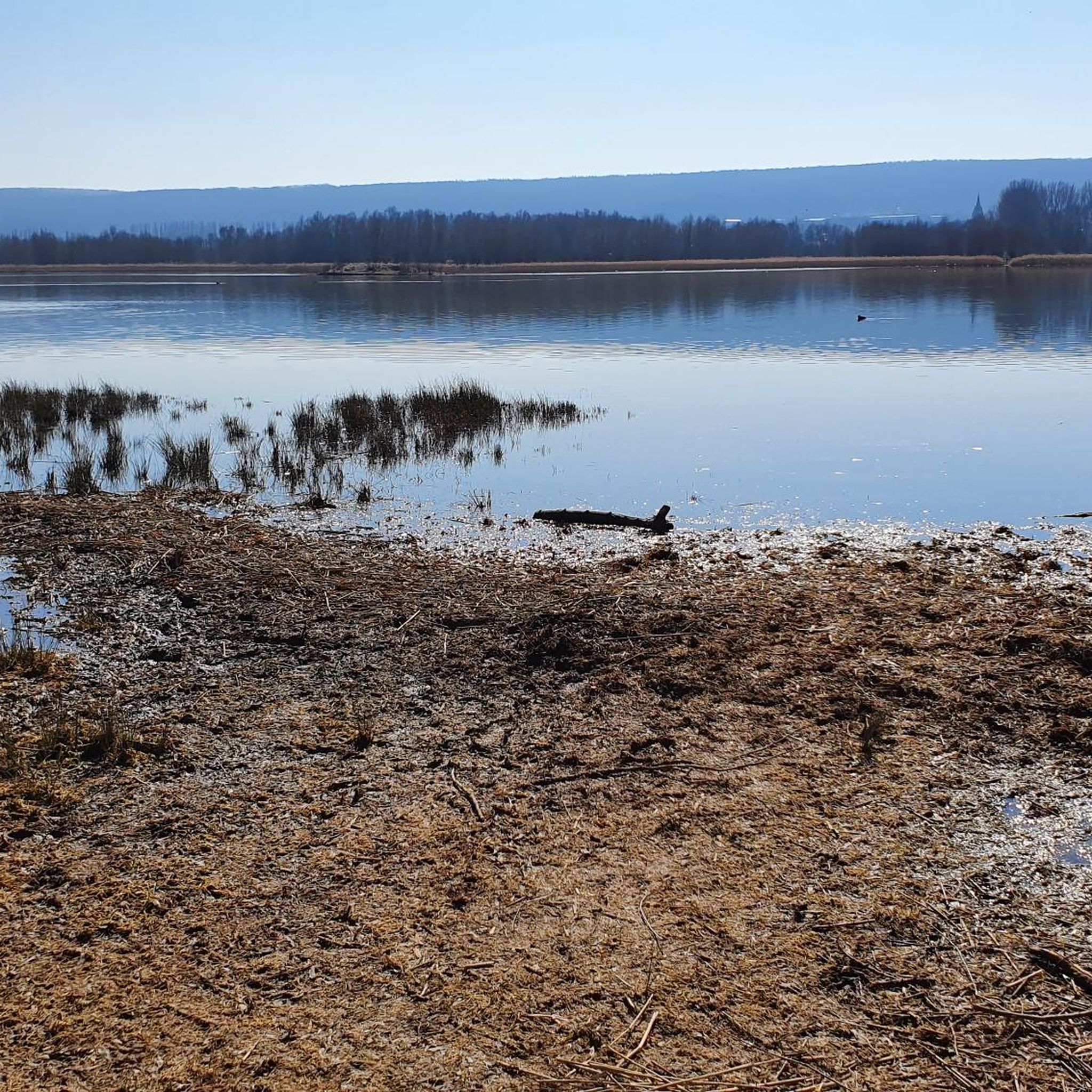
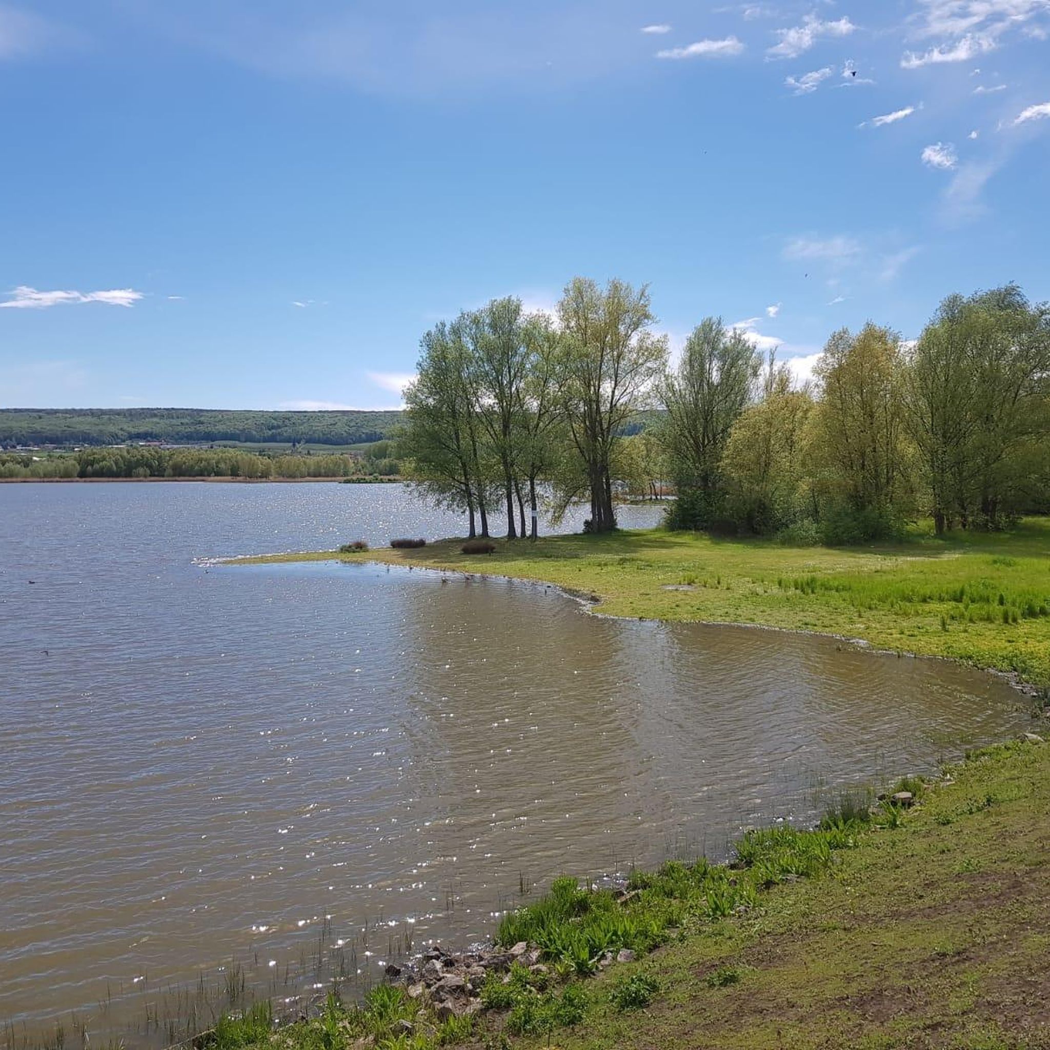
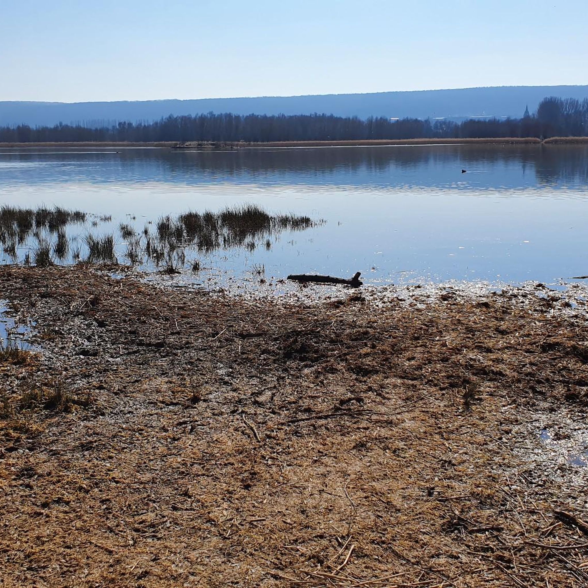
Road cycling routes around Dam Dachwig traverse a landscape characterized by agricultural fields, orchards, and gentle hills, with the Dam Dachwig lake as a central feature. The region, part of Landkreis Gotha, offers varied terrain suitable for road cyclists. Routes often follow quiet country roads, passing through small villages and offering views of the surrounding countryside. The elevation changes are generally moderate, making it accessible for a range of abilities.
Best road cycling routes around Dam Dachwig
- The most popular…
Last updated: July 8, 2026
4.0
(1)
62
riders
46.4km
02:06
280m
280m
Moderate road ride. Good fitness required. Some segments of this route may be unpaved and difficult to ride.
16
riders
33.3km
01:32
190m
190m
Moderate road ride. Great for any fitness level. Some segments of this route may be unpaved and difficult to ride.

Sign up for free
3.0
(1)
8
riders
36.5km
01:35
200m
200m
Moderate road ride. Great for any fitness level. Some segments of this route may be unpaved and difficult to ride.
12
riders
18.7km
00:49
120m
120m
Easy road ride. Great for any fitness level. Mostly well-paved surfaces and easy to ride.
5
riders
18.2km
00:51
210m
210m
Easy road ride. Great for any fitness level. Mostly well-paved surfaces and easy to ride.
Get access to more routes and recommendations from other explorers.
Sign up for free
Already have an account?
Our route recommendations are based on thousands of hikes, rides, and runs completed by other people on komoot.
Start today with a free account
Your next adventure awaits.
Login or Signup
Tips from the Community

Unfortunately currently used as an emergency shelter.
0
0

beautiful new cycle path, good view to the Fahner Höhe from the top
0
0

Equipped with a picking bucket and a map, you can pick your own apples and cherries, depending on the season, and receive expert advice. At the end, the apples are weighed—and you take home your very own harvest basket. It doesn't get any fresher than this!
0
0


The district of Friedrichsdorf was founded in 1780 as a small colony by the agricultural inspector Neithardt von Gneisenau on the orders of the Archbishop of Mainz and sovereign Friedrich Karl Joseph von Erthal.
0
0

Every type of church is an eye-catcher.
1
2
Frequently Asked Questions
How many road cycling routes are available around Dam Dachwig?
There are over 40 road cycling routes around Dam Dachwig, offering a variety of options for different skill levels. The komoot community has explored these routes over 700 times.
Are there easy road cycling routes suitable for beginners in Dam Dachwig?
Yes, Dam Dachwig offers 14 easy road cycling routes perfect for beginners or those seeking a relaxed ride. One such route is the Obstpark Gierstädt – St. Veit Church Kleinfahner loop from Gierstädt, which is 11.5 miles (18.5 km) long and features moderate elevation changes.
What kind of terrain can I expect on road cycling routes in Dam Dachwig?
The region around Dam Dachwig is characterized by agricultural fields, orchards, and gentle hills. Routes often follow quiet country roads, passing through small villages and offering views of the surrounding countryside. Elevation changes are generally moderate, making it accessible for a range of abilities.
Are there any challenging road cycling routes near Dam Dachwig?
While most routes are easy to moderate, there is one challenging road cycling route available for those looking for a more demanding ride. The overall terrain tends towards gentle hills, so 'challenging' here refers to longer distances or slightly more sustained climbs compared to the easier options.
What is the best season for road cycling in Dam Dachwig?
The best season for road cycling in Dam Dachwig is typically spring through autumn, when the weather is mild and the agricultural landscapes are vibrant. The quiet country roads are generally well-maintained, but it's always advisable to check local weather conditions before heading out, especially during transitional seasons.
Are there circular road cycling routes available in Dam Dachwig?
Many of the road cycling routes in Dam Dachwig are designed as loops, allowing you to start and finish at the same point. For example, the popular Witterda–Tiefthal Scenic Route – Fahner Mill loop from Großfahner is a 28.7 miles (46.2 km) circular trail.
What are some scenic highlights or points of interest along the road cycling routes?
Road cycling routes often feature views across open landscapes, passing by landmarks such as the historic Fahner Mill. The Wind Turbines Cycle Path – Schloss Gebesee loop from Dachwig offers views of wind turbines and includes a section near Schloss Gebesee, providing diverse scenery.
How long do road cycling routes typically take in Dam Dachwig?
Route durations vary depending on distance and your pace. For instance, the Kleinfahner Orchards – Fahner Mill loop from Dachwig, which is 20.7 miles (33.3 km), typically takes about 1 hour 32 minutes to complete. Shorter routes can be completed in under an hour, while longer ones might take over two hours.
What do other road cyclists enjoy most about road cycling in Dam Dachwig?
The road cycling experience in Dam Dachwig is highly rated by the komoot community, with an average score of 4.4 stars from over 70 reviews. Cyclists often praise the quiet country roads, the scenic agricultural landscapes, and the moderate elevation changes that make the routes enjoyable for various skill levels.
Are there any routes that pass through orchards or agricultural areas?
Yes, many routes traverse the region's characteristic orchards and agricultural fields. The Kleinfahner Orchards – Fahner Mill loop from Dachwig is a prime example, leading directly through these picturesque areas.
Are there family-friendly road cycling routes in Dam Dachwig?
Given the prevalence of easy and moderate routes with gentle hills and quiet country roads, many of the paths are suitable for families. Routes like the Kleinfahner Orchards – Fahner Mill loop from Gierstädt, at 11.3 miles (18.2 km) and classified as easy, are good options for a family outing.
Most popular routes around Dam Dachwig

Get inspired with the komoot mobile app


Explore more
Browse the best Road cycling routes in other regions.
