The best MTB trails around Dam Dachwig
4.6
(94)
366
riders
77
rides
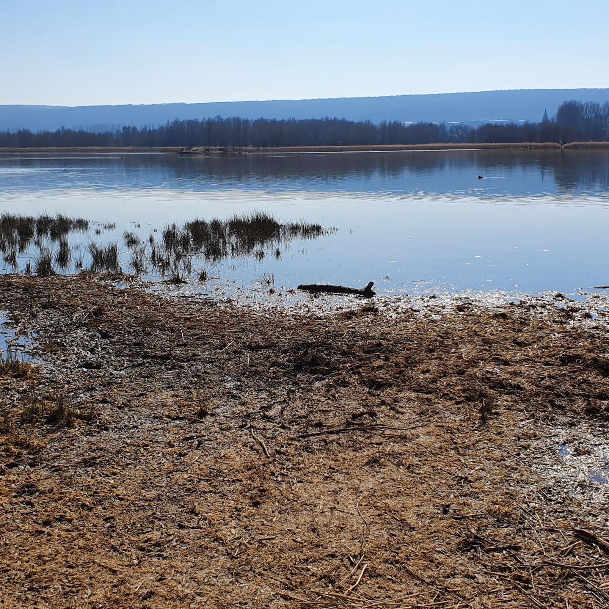
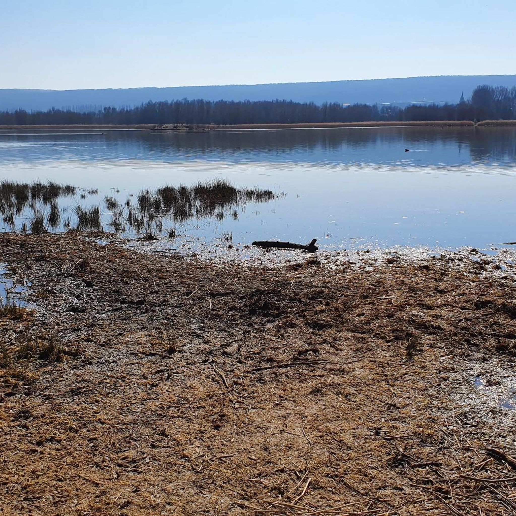
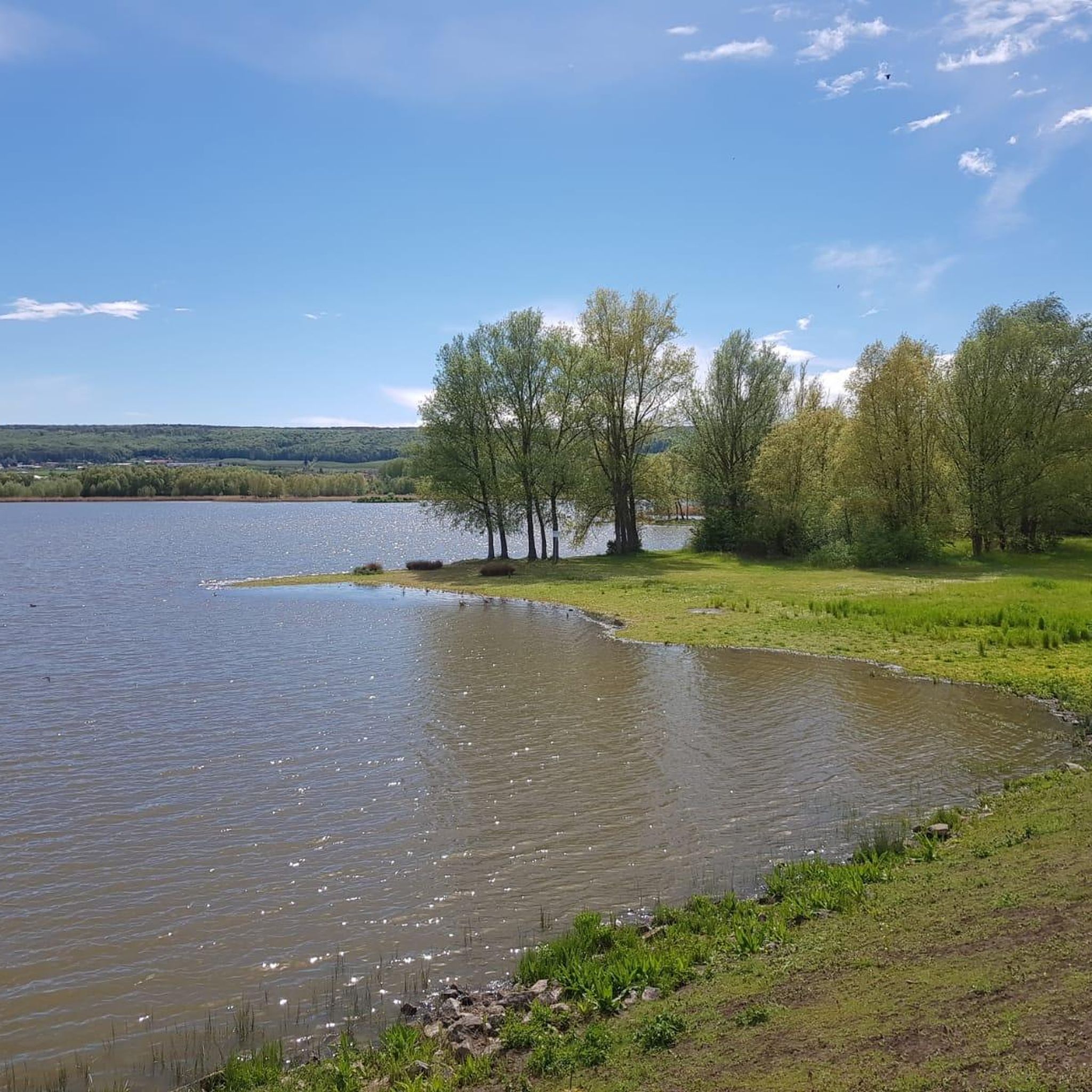
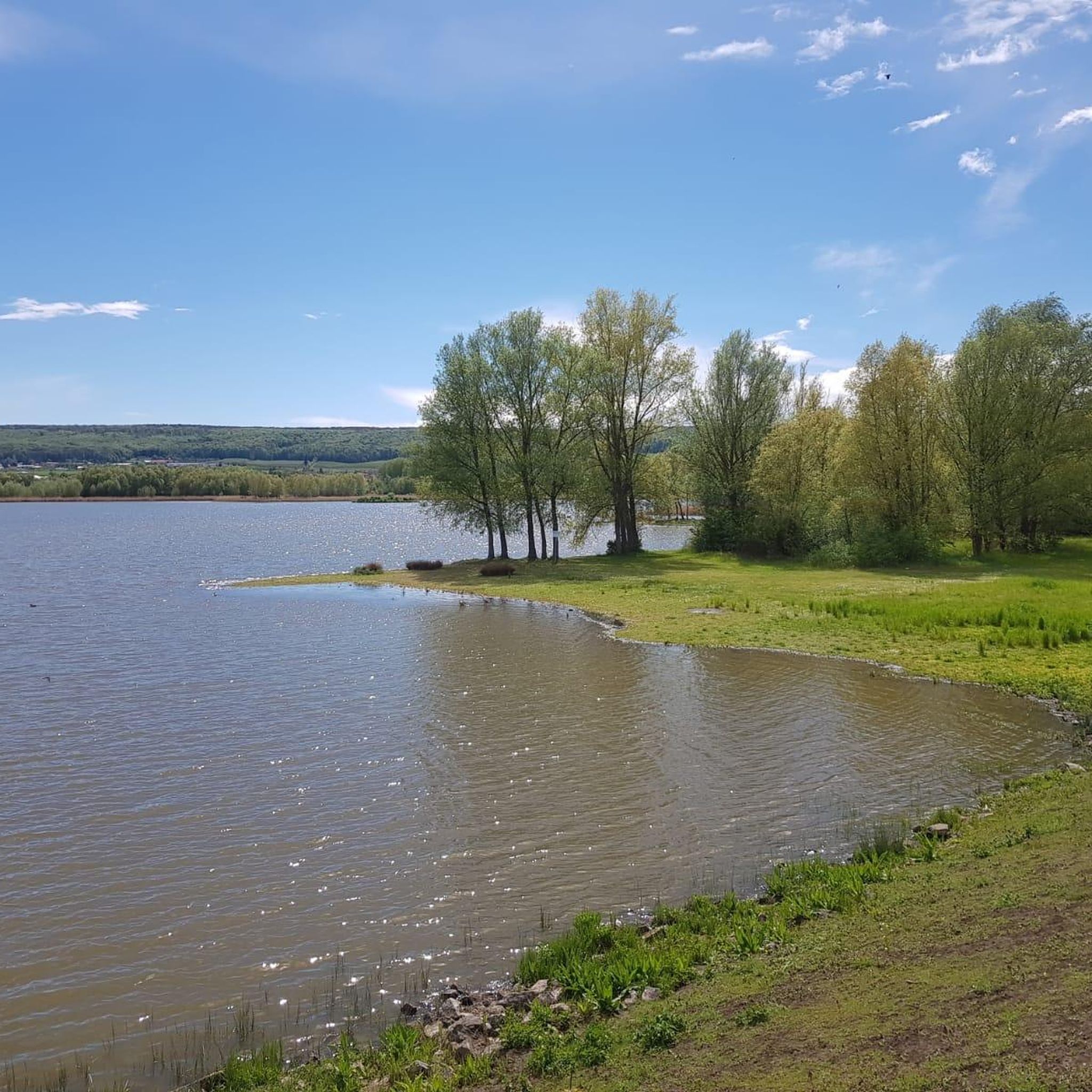
Mountain biking around Dam Dachwig offers diverse terrain within a picturesque landscape in Thuringia, Germany. The region features rolling hills and tranquil scenery, with the Dachwig Reservoir as a central natural landmark. While the immediate area around the reservoir provides scenic, easy-going routes, the broader Landkreis Gotha includes a variety of trails, from flowtrails to more technical singletrack. Mountain bike trails Dam Dachwig are characterized by a mix of open paths and forested sections.
Best mountain bike trails around Dam…
Last updated: June 25, 2026
6
riders
15.0km
00:50
110m
110m
Easy mountain bike ride. Great for any fitness level. Suitable for all skill levels.
4
riders
33.1km
02:13
450m
450m
Moderate mountain bike ride. Good fitness required. Advanced riding skills necessary.

Sign up for free
10
riders
Easy mountain bike ride. Great for any fitness level. Suitable for all skill levels.
5.0
(1)
9
riders
39.7km
03:23
540m
540m
Moderate mountain bike ride. Good fitness required. Suitable for all skill levels.
5.0
(1)
6
riders
Moderate mountain bike ride. Great for any fitness level. Advanced riding skills necessary.
Get access to more routes and recommendations from other explorers.
Sign up for free
Already have an account?
Our route recommendations are based on thousands of hikes, rides, and runs completed by other people on komoot.
Start today with a free account
Your next adventure awaits.
Login or Signup
Tips from the Community

Secret tip for the 🐻🌱 time, mega. Nice hut, rightly there is a stamp here.
8
0
Refreshing is the spring on hot days.
8
0

When the fruit trees bloom .......
1
0


A memorial for the fallen soldiers in April 1945.
0
0

The wild garlic is already blooming here in mid-March. What a wonderful sight and scent. The paths are also great for cycling.
3
0

Just like that in the forest.
0
0
Frequently Asked Questions
How many mountain bike trails are available around Dam Dachwig?
There are over 80 mountain bike trails in the Dam Dachwig area, offering a wide range of options for different skill levels and preferences.
What kind of terrain can I expect on mountain bike trails near Dam Dachwig?
The terrain around Dam Dachwig features picturesque landscapes with rolling hills and tranquil scenery. While the immediate reservoir area offers scenic, easy-going routes, the broader Landkreis Gotha includes diverse trails from flowtrails to more technical singletrack. You'll find a mix of open paths and forested sections.
Are there mountain bike trails suitable for beginners or families in Dam Dachwig?
Yes, Dam Dachwig offers several easy mountain bike trails perfect for beginners and families. For example, the Herbsleben Castle Ruins – Herbsleben Town Hall loop from Dachwig is an easy 9.3-mile route exploring the local countryside. Another great option is the Eiscafé Fachwerk Großfahner loop from Gierstädt, an 11.0-mile easy trail through agricultural landscapes and small villages.
Are there more challenging mountain bike routes for experienced riders?
While the immediate Dam Dachwig area has many easy to moderate routes, the wider Landkreis Gotha region offers more challenging options. These include trails with technical features like drops, jumps, and skinny sections, such as the 'Kühles Tal Endurotrail' known for significant elevation descent. Within the guide, you'll find 55 moderate routes and 1 difficult route for a greater challenge.
What do other mountain bikers enjoy most about the trails in Dam Dachwig?
The mountain bike trails in Dam Dachwig are highly rated by the komoot community, with an average score of 4.6 stars from over 80 reviews. Riders often praise the diverse terrain, the picturesque landscapes, and the well-maintained paths that cater to various skill levels.
Are there any circular mountain bike routes around Dam Dachwig?
Yes, many of the trails around Dam Dachwig are designed as loops. For instance, the popular View of Schwellenburg – Bienstädt Watchtower loop from Großfahner is a moderate 20.6-mile path offering varied terrain and scenic views. Another option is the Fahner Höhe Forest Trails – Bienstädter Warte loop from Gierstädt, a moderate 39.7-kilometer route.
What are some notable landmarks or viewpoints I can see while mountain biking?
While mountain biking around Dam Dachwig, you can enjoy views of the Dachwig Reservoir itself. Routes like the View of Schwellenburg – Bienstädt Watchtower loop from Großfahner offer scenic views of the surrounding hills. The area also features historical sites like the Herbsleben Castle Ruins, which you can explore on the Herbsleben Castle Ruins – Herbsleben Town Hall loop from Dachwig.
Is it possible to reach the mountain bike trails by public transport?
While specific public transport connections directly to every trailhead are not detailed, the region is part of Thuringia, Germany, which generally has a good public transport network. For specific routes, it's advisable to check local bus or train schedules to nearby towns like Dachwig, Gierstädt, or Großfahner and plan your ride from there.
Are there any specific rules or permits required for mountain biking in Thuringia?
Generally, mountain biking on designated trails in Thuringia is permitted. However, it's always good practice to respect local signage, stick to marked trails, and be mindful of other trail users and wildlife. No specific permits are typically required for recreational mountain biking on public trails in this region.
What is the best time of year for mountain biking around Dam Dachwig?
The best time for mountain biking around Dam Dachwig is typically during spring, summer, and early autumn. These seasons offer pleasant weather conditions, making the trails enjoyable. Always check local weather forecasts before heading out, especially during shoulder seasons when conditions can be more variable.
Are there any cafes or places to eat near the mountain bike trails?
Yes, some routes pass through or near small villages where you might find local cafes or eateries. For example, the Eiscafé Fachwerk Großfahner loop from Gierstädt suggests there are amenities in Großfahner. It's recommended to check ahead for opening times, especially in smaller communities.
Can I bring my dog on the mountain bike trails in Dam Dachwig?
Many trails in the Dam Dachwig area and wider Thuringia are dog-friendly, provided dogs are kept on a leash and owners clean up after them. Always check specific trail regulations or local signage, especially in nature reserves, to ensure dogs are permitted.
Most popular routes around Dam Dachwig

Get inspired with the komoot mobile app


Explore more
Browse the best MTB trails in other regions.
