The best walks and hikes around the Dalälven
4.4
(1414)
6,173
hikers
151
hikes
Hiking around the Dalälven offers a diverse landscape often referred to as "Sweden in miniature," featuring varied topography from northern mountains to southern farmlands. The region is characterized by expansive forests, numerous lakes, and meandering rivers, including the Dalälven itself. Hikers can explore significant natural features such as Färnebofjärden National Park with its wetlands and rapids, and the unique Säterdalen Ravine System. This varied terrain provides a wide range of hiking experiences across different elevations and environments.
Best hiking trails around the Dalälven
- The most popular hiking route is Gysinge Nature Reserve loop, a 5.5 miles (8.9 km) trail that takes 2 hours 16 minutes to complete. This moderate route explores the natural beauty of the Gysinge area.
- Another top favourite among local hikers is The pry - Färnebofjärden National Park, an easy 2.3 miles (3.7 km) path. This trail offers views of the mystical forest and wetlands within the national park.
- Local hikers also love the Hike to Svarthammaren, a 4.8 miles (7.7 km) trail leading through varied forest terrain, often completed in about 2 hours 22 minutes.
- Hiking around the Dalälven is defined by expansive forests, tranquil wetlands, and scenic river landscapes, often passing through national parks and nature reserves. The network offers options for different ability levels, from easy strolls to more challenging ascents.
- The routes in Dalälven are highly rated by the komoot community with an average score of 4.5 stars from over 500 reviews. More than 2000 hikers have used komoot to explore Dalälven's varied terrain.
Last updated: October 8, 2026
4.7
(143)
521
hikers
8.92km
02:16
20m
20m
Moderate hike. Good fitness required. Easily-accessible paths. Suitable for all skill levels.
4.3
(63)
303
hikers
3.65km
00:56
10m
10m
Easy hike. Great for any fitness level. Easily-accessible paths. Suitable for all skill levels.

4.4
(9)
46
hikers
6.68km
01:43
30m
30m
Easy hike. Great for any fitness level. Easily-accessible paths. Suitable for all skill levels.
4.6
(11)
46
hikers
13.8km
03:32
50m
60m
Moderate hike. Good fitness required. Easily-accessible paths. Suitable for all skill levels.
5.0
(2)
5
hikers
8.45km
02:09
30m
10m
Moderate hike. Good fitness required. Easily-accessible paths. Suitable for all skill levels.
4
hikers
7.73km
02:22
270m
270m
Moderate hike. Good fitness required. Easily-accessible paths. Suitable for all skill levels.
8.56km
02:13
50m
50m
Moderate hike. Good fitness required. Easily-accessible paths. Suitable for all skill levels.
4.7
(26)
153
hikers
7.04km
01:46
10m
10m
Easy hike. Great for any fitness level. Easily-accessible paths. Suitable for all skill levels.
4.6
(27)
102
hikers
Moderate hike. Good fitness required. Easily-accessible paths. Suitable for all skill levels.
4.4
(34)
125
hikers
12.8km
03:21
100m
100m
Moderate hike. Good fitness required. Easily-accessible paths. Suitable for all skill levels.
Get access to more routes and recommendations from other explorers.
Already have an account?
Our route recommendations are based on thousands of hikes, rides, and runs completed by other people on komoot.
Start today with a free account
Your next adventure awaits.
Popular around Dalälven
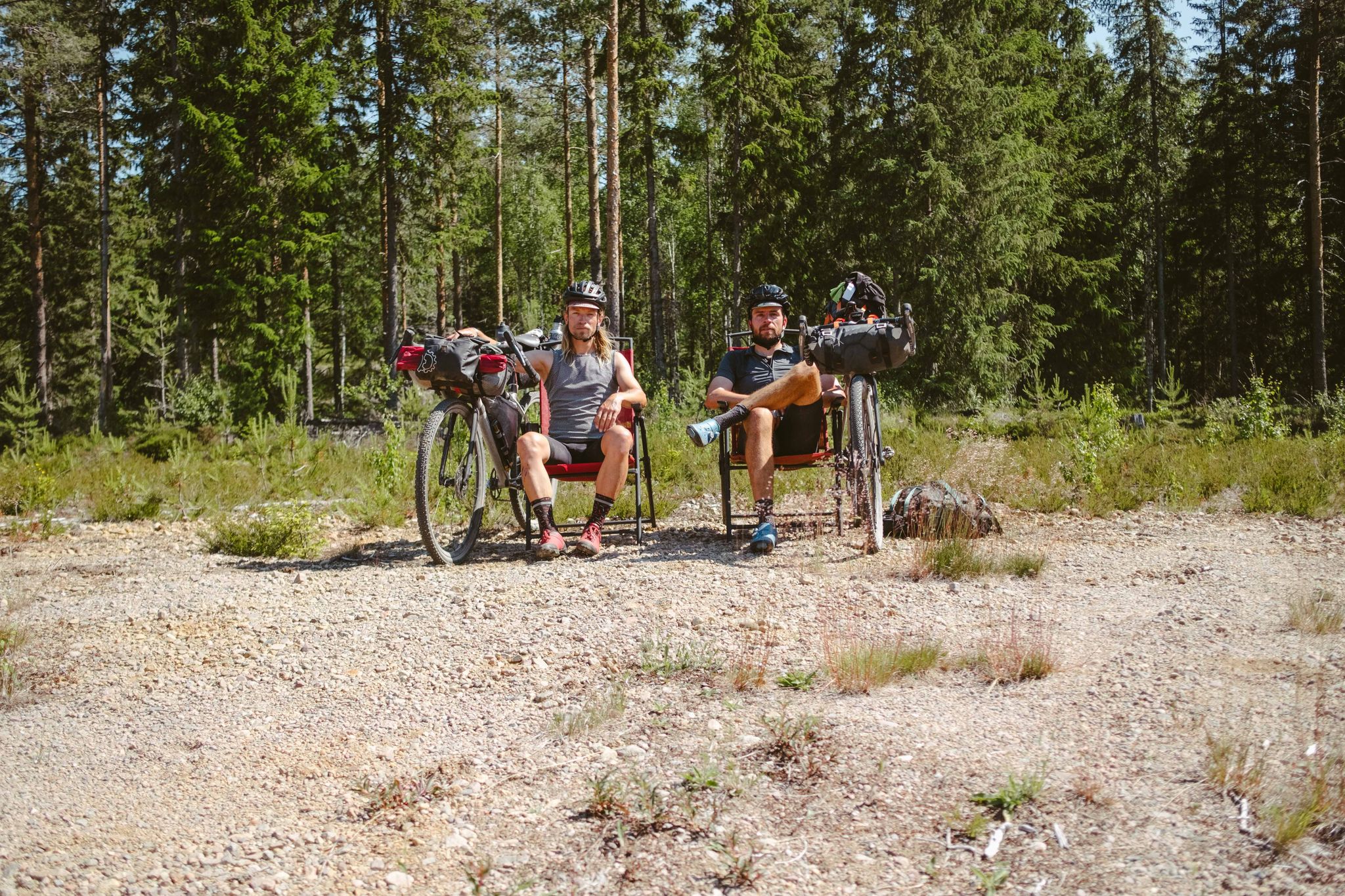
Into The Wild – Going North With JDA
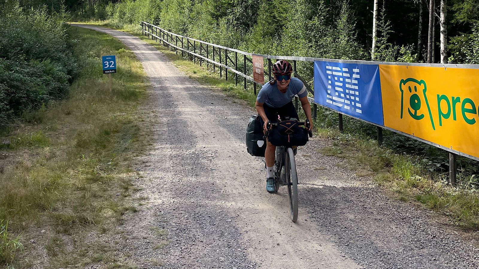
Cykelvasaleden – cycle along Sweden's historic cross-country route
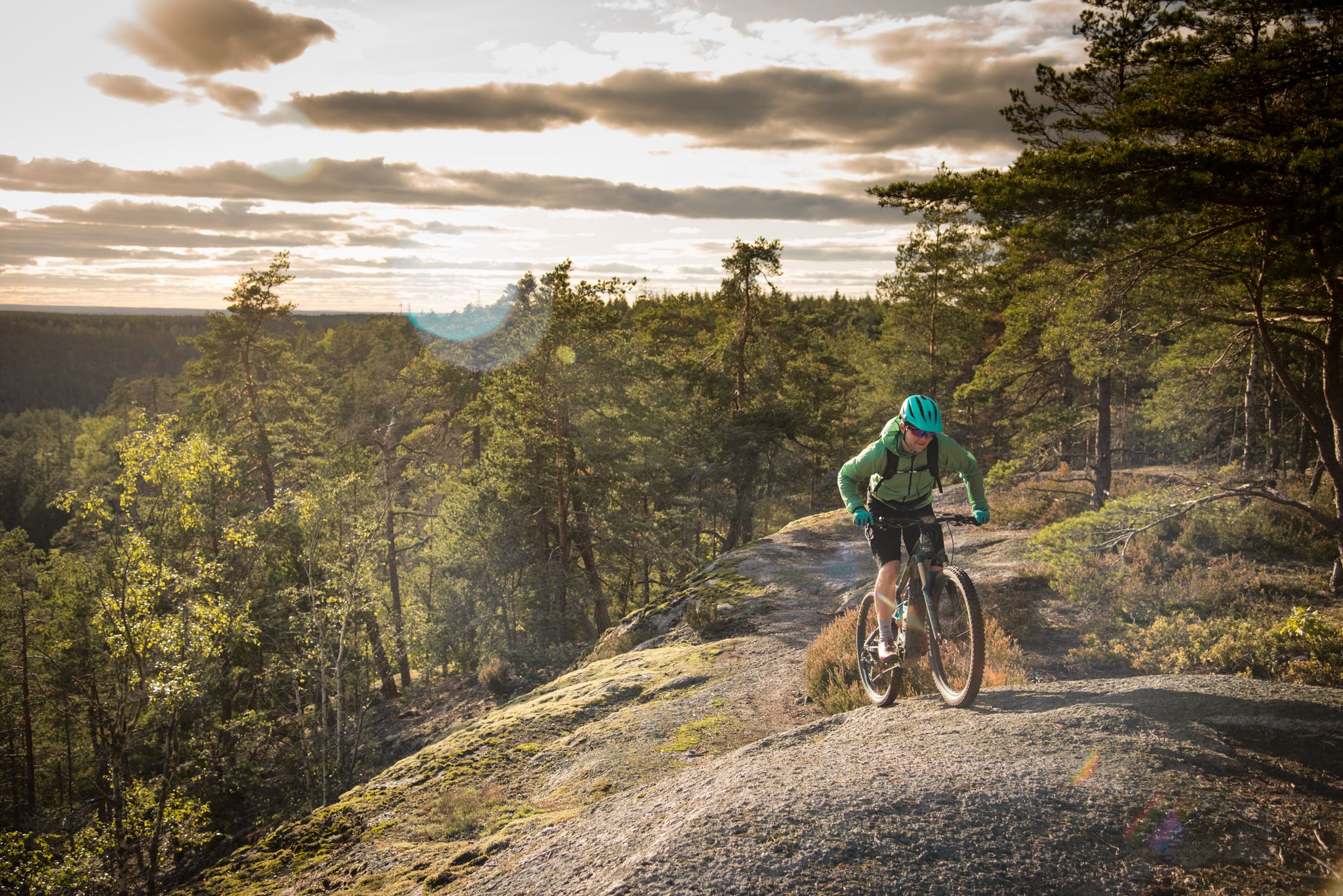
E-biking in Sweden – lonely forests, vast landscapes and insane trails
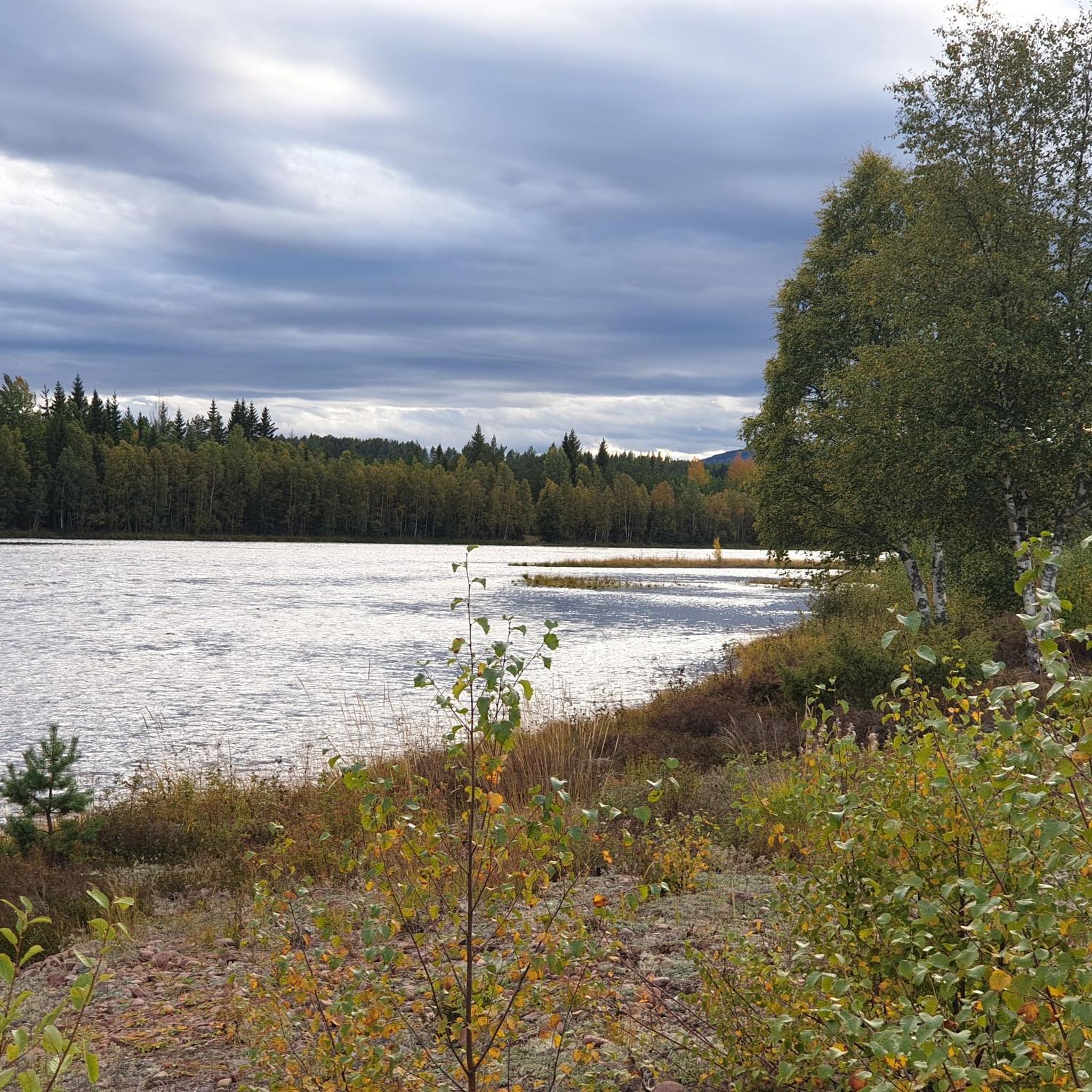
Cycling around the Dalälven
Running Trails around the Dalälven
Road Cycling Routes around the Dalälven
MTB Trails around the Dalälven

Gravel biking around the Dalälven
Other adventures around the Dalälven


Tips from the Community

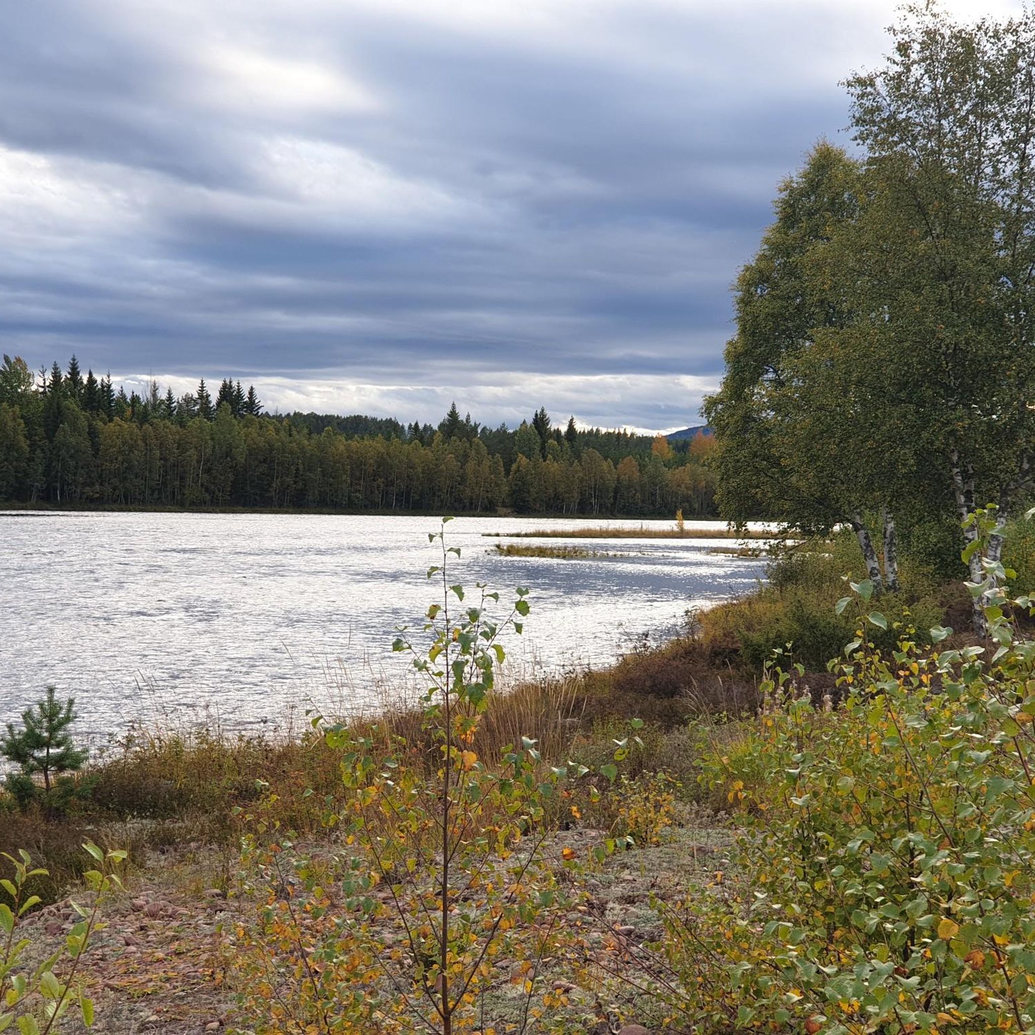
Dalälven is one of Sweden’s longest rivers, stretching across Dalarna down to the Baltic coast. With wide waters, green banks, and trails along the shore, it's a great place to take a break and rest by the water.
0
0
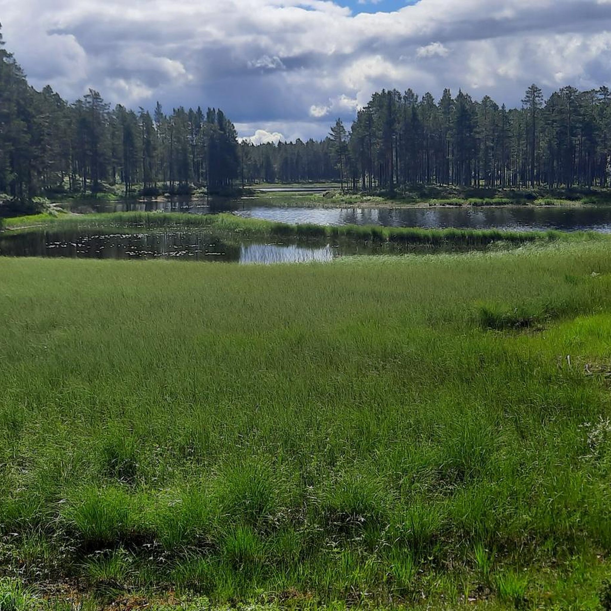
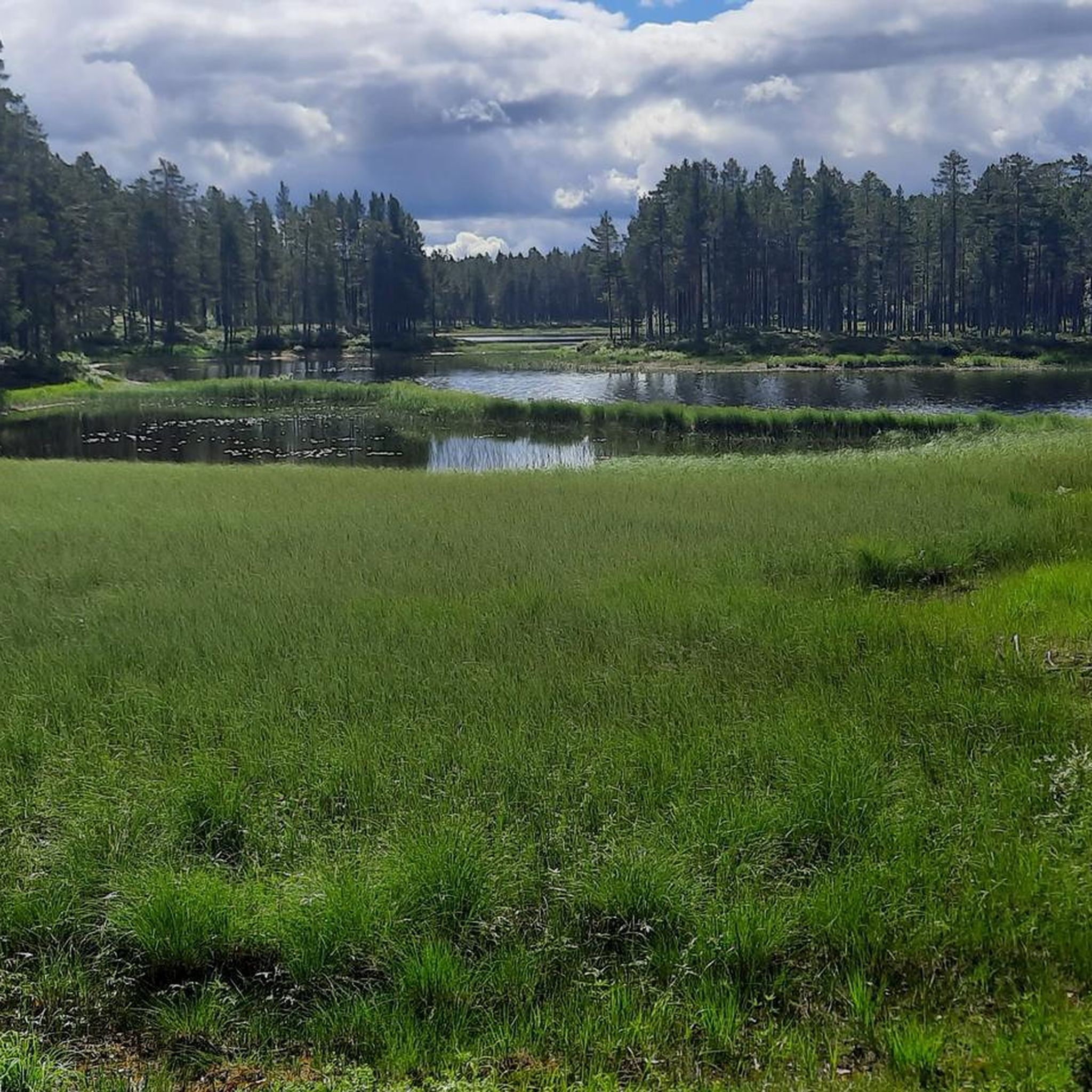
Fåran is a small stream that flows through the Holmsjöarna Nature Reserve. Lined with quiet woods and grassy banks, it's a calm spot to take a quick break on the bridge over the water.
1
0
Holmsjöarna Nature Reserve spans 276 hectares of protected wetlands, lakes, and quiet forest paths shared between Borlänge and Säter. The area is full with green meadows and small streams.
1
0

Good resting place, but camping is forbidden here.
6
0

A large, man-made waterfall on the Dalälven River. Famous for salmon fishing - but it's a very impressive sight in its own right. Very noisy!
0
0
Walk the little forest path here to emerge onto a lovely picnic spot (with picnic benches!) for some peace, quiet and a good amount of blue water marvelling!
0
0
A wonderful observation tower rising above the lake here - a total must!
0
0

There are various birdwatching towers around the lake. Depending on the season, you can spot different birds here: Whooper Swan, Stock Dove, Eurasian Skylark, Northern Lapwing, Barnacle Goose etc. You can find more information about the birds here, for example: https://www.birdingplaces.eu/en/birdingplaces/sweden/limsjon
0
0
Frequently Asked Questions
How many hiking trails are available in the Dalälven region?
The Dalälven region offers a wide variety of hiking experiences with over 150 routes documented on komoot. These trails cater to all fitness levels, from easy strolls to more challenging ascents.
What kind of terrain can I expect when hiking in Dalälven?
Dalälven is known for its diverse landscape, often called 'Sweden in miniature.' You'll find expansive forests, tranquil wetlands, and scenic river landscapes. Some areas feature rolling farmlands, unique ravine systems like Säterdalen, and even bare mountains in the northern parts of the broader Dalarna region, offering varied environments for exploration.
Are there easy hiking trails suitable for beginners or families in Dalälven?
Yes, Dalälven is very welcoming for families and beginners. There are over 80 easy routes available, many of which are accessible paths perfect for shorter walks. An example is The pry - Färnebofjärden National Park, an easy 3.7 km path offering views of mystical forests and wetlands.
Are there any circular hiking routes in the Dalälven area?
Yes, many trails in Dalälven are designed as circular routes, allowing you to start and end at the same point. For instance, the Gysinge Nature Reserve loop is a popular 8.9 km circular trail exploring the natural beauty of the Gysinge area. Another option is the Hiking loop from Naturrum Billudden, an easy 7 km route.
What natural landmarks or features can I see along the trails in Dalälven?
The region is rich in natural beauty. You can explore the wetlands and rapids of Färnebofjärden National Park, or experience the distinctive fjäll hiking in the Städjan-Nipfjället Nature Reserve. Further north in Dalarna, Fulufjället National Park boasts Njupeskär, Sweden's highest waterfall, and 'Old Tjikko,' one of the world's oldest trees. Many trails also pass by crystal-clear lakes and meandering rivers.
Are there any historical or cultural attractions near the hiking trails?
Absolutely. The Dalälven region blends natural and cultural heritage. You can visit Gysinge bruk, a well-preserved historic ironworks site and nature reserve, which is accessible via routes like the Gästrikeleden Trail: Österfärnebo to Gysinge. The Falun Copper Mine, a UNESCO World Heritage Site, is also within the broader Dalarna region and offers tours into its ancient shafts.
What do other hikers enjoy the most about hiking in Dalälven?
The Dalälven region is highly rated by the komoot community, with an average score of 4.5 stars from over 500 reviews. Hikers often praise the tranquil wetlands, expansive forests, and scenic river landscapes. Many appreciate the variety of routes available, from easy strolls to more challenging ascents, and the opportunity to explore national parks and nature reserves.
Are there places to stay overnight or shelters along the hiking routes?
Yes, for longer hikes or multi-day trips, you can find various shelters and huts. For example, there's a Riverside Shelter with Fire Pit and other shelters and grill huts available. For more options, you can explore the Huts and Cabins around the Dalälven guide.
What is the best time of year to go hiking in Dalälven?
The Dalälven region offers great hiking opportunities from spring through autumn. Spring brings blooming nature, while summer provides long daylight hours and pleasant temperatures. Autumn is particularly beautiful with vibrant fall foliage. While winter offers opportunities for snow activities, many hiking trails are best enjoyed during the warmer months.
Are there any trails that offer views of Lake Färnebofjärden?
Yes, several trails provide excellent views of Lake Färnebofjärden, which is part of the Färnebofjärden National Park. The View of Färnebofjärden Lake – Lake and River Walk loop from Mattön is a moderate 13.8 km route, and the View of Färnebofjärden Lake – Lake and River Walk loop from Gysinge is a similar 13.9 km option, both offering scenic perspectives of the lake and river.
Can I bring my dog on the hiking trails in Dalälven?
Generally, dogs are welcome on hiking trails in Sweden, but it's crucial to keep them on a leash, especially in nature reserves and national parks, to protect wildlife and other visitors. Always check specific park regulations before you go, as rules can vary.
Are there any specific trails that lead to viewpoints?
While many trails offer scenic views throughout, the Hike to Svarthammaren is a moderate 7.7 km trail that leads through varied forest terrain and is known for its rewarding views. Additionally, the mountains in Städjan-Nipfjället Nature Reserve provide distinctive fjäll hiking experiences with expansive vistas above the treeline.
Most popular routes around the Dalälven
Most popular attractions around the Dalälven

Get inspired with the komoot mobile app


Explore more
Browse the best Hikes in other regions.
