The best cycling routes in Uinta-Wasatch-Cache National Forest
5.0
(4)
319
riders
31
rides
Touring cycling in Uinta-Wasatch-Cache National Forest offers diverse landscapes across approximately 2.1 million acres. The region features towering mountains, lush valleys, dense coniferous forests, and dramatic canyons, providing varied terrain for cyclists. Significant elevation changes are common, with routes traversing high mountain passes and serene river parkways. This expansive forest provides both accessible routes and backcountry experiences for touring cyclists.
Best touring cycling routes in Uinta-Wasatch-Cache National Forest
- The most popular touring cycling route is Alpine Scenic Highway, a…
Last updated: June 25, 2026
4
riders
39.6km
02:54
950m
1,190m
Cycle the difficult 24.6-mile Alpine Scenic Highway, gaining 3130 feet with views of Mount Timpanogos in Uinta-Wasatch-Cache National Forest
1
riders
34.2km
01:51
150m
430m
An easy 21.3-mile touring cycling route along the Ogden River Scenic Byway, offering diverse scenery from riverbanks to canyon views.

Sign up for free
5.0
(2)
43
riders
66.4km
04:35
1,100m
1,100m
This difficult 41.3-mile touring cycling route combines the paved Provo River Parkway with challenging mountain climbs on the seasonal Alpin
7.63km
00:39
140m
140m
This easy 4.7-mile touring bicycle loop on the Bonneville Shoreline Trail offers scenic views and 466 feet of elevation gain.
43
riders
67.2km
05:02
1,610m
1,610m
Hard bike ride. Very good fitness required. Mostly paved surfaces. Suitable for all skill levels.
Get access to more routes and recommendations from other explorers.
Sign up for free
Already have an account?
Our route recommendations are based on thousands of hikes, rides, and runs completed by other people on komoot.
Start today with a free account
Your next adventure awaits.
Login or Signup
Popular around Uinta-Wasatch-Cache National Forest
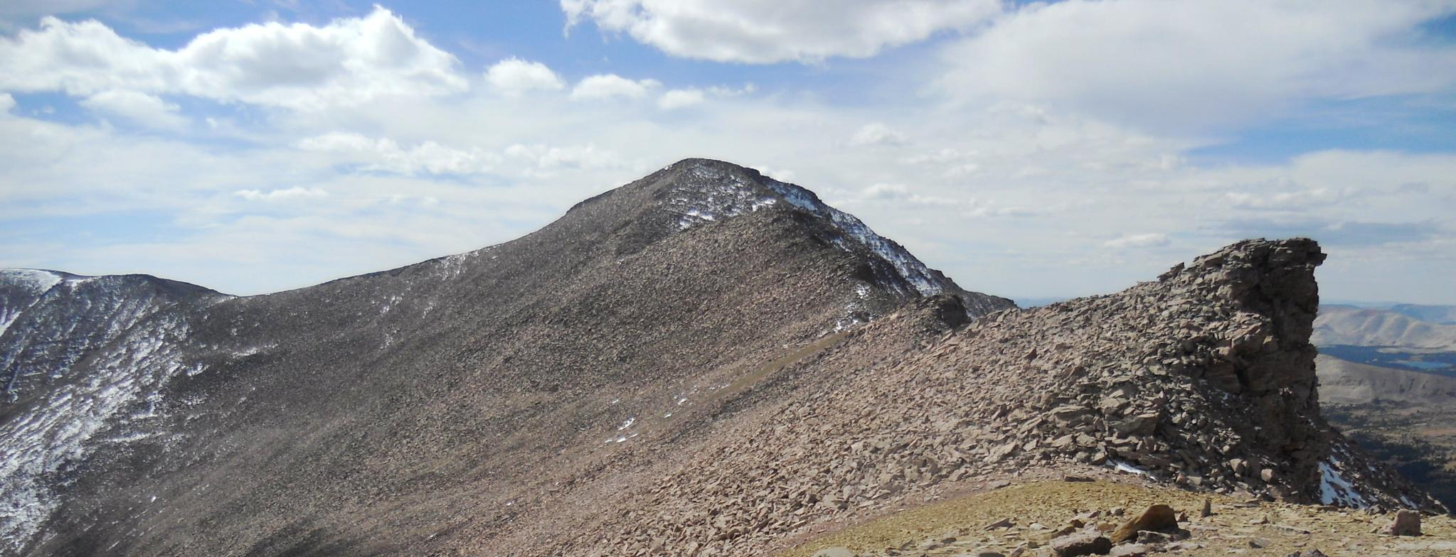
The Uinta Highline Trail — An epic journey through the wild heart of Northern Utah
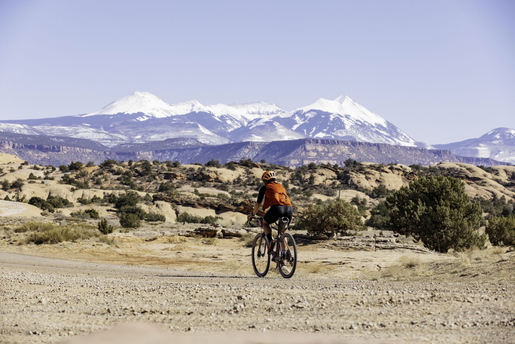
My Utah road trip: trail running and gravel riding in the mountains
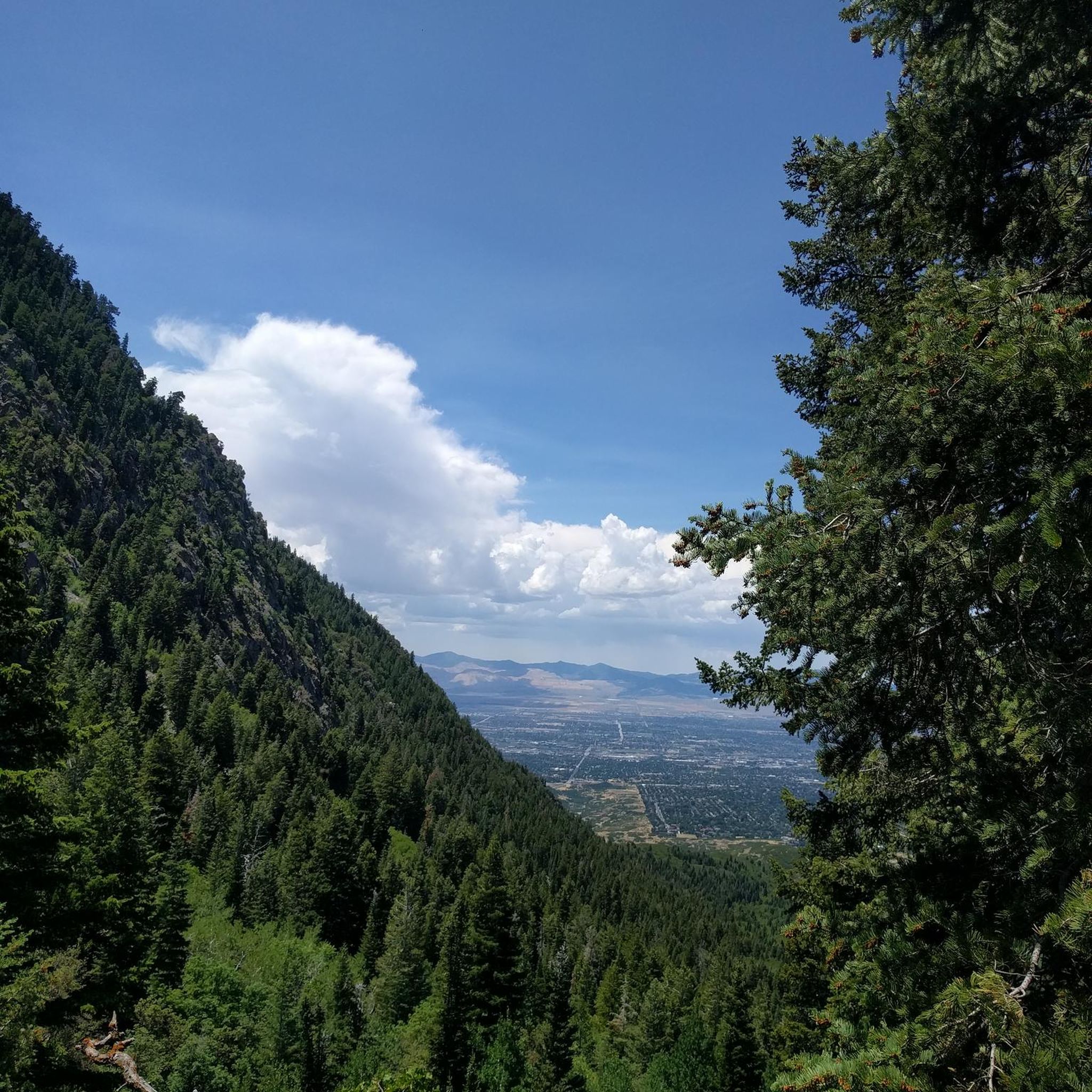
Hiking in Uinta-Wasatch-Cache National Forest
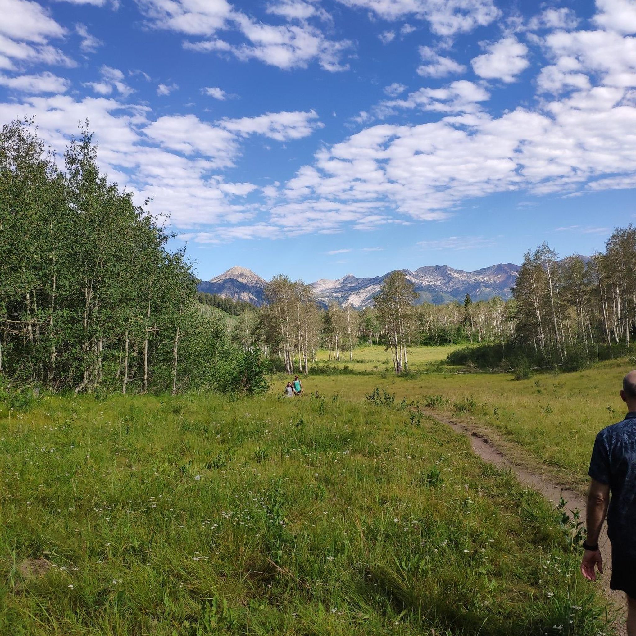
Running Trails in Uinta-Wasatch-Cache National Forest
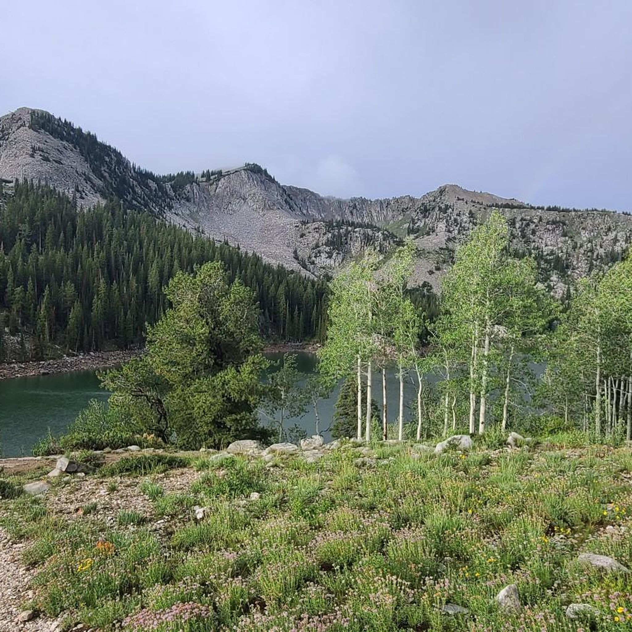
MTB Trails in Uinta-Wasatch-Cache National Forest
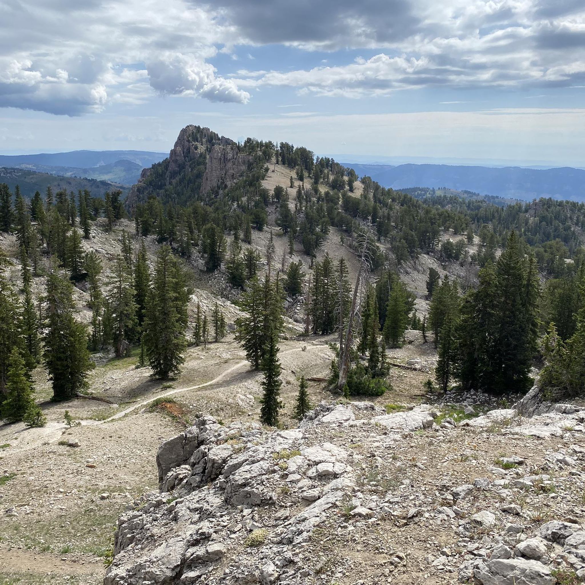
Road Cycling Routes in Uinta-Wasatch-Cache National Forest

Gravel biking in Uinta-Wasatch-Cache National Forest
Other adventures in Uinta-Wasatch-Cache National Forest


Tips from the Community

This is the highest point of the Alpine Scenic Highway—meaning if you’ve made it here, it’s time to enjoy the downhill ahead. Nearby, you’ll find access to several trails, including Willow Hollow Trail, Horse Flat Trail, Ridge Trail, and Lame Hollow Trail.
0
0
Guardsman Pass is a tough but unforgettable climb—steep grades, tight switchbacks, and big elevation gain. The views from the top, at nearly 9,700 feet, are worth every pedal stroke. Expect light traffic on weekdays and smooth pavement for a fast, fun descent.
0
0

If you want to see the main waterfall in the park, you'll have to leave your bike behind for a bit. Just biking along the river on the Provo River Parkway is worth your while, though, and you get great views of cascades and small falls pouring into the river.
0
0

This bright red barn is a standout amongst the beautiful mountain backdrop. It's one of many scenic features along this trail and is worthy of a stop to take a great photo!
0
0

Bridal Veil Falls Park boasts a magnificent 607-foot-tall double waterfall, offering a perfect spot to pause and be inspired by nature's grandeur. From this point, you can also embark on a trail leading to another impressive waterfall, the 40-foot-tall Upper Falls, which presents a rewarding half-mile uphill challenge. Depending on the season, the waterfalls may cascade with roaring power or freeze into stunning ice formations, each adding its own unique charm to the experience.
0
0

An inviting park featuring restroom facilities, a convenient water-bottle filling station, a bike repair stand equipped with tools, and a spacious pavilion adorned with picnic tables. Additionally, cyclists can revel in the stunning vistas of the majestic Wasatch Mountains to the east, enhancing the overall park experience.
0
0
This 17-mile trail traverses seven cities and follows the path of the original trail constructed in the early 1900s. The trail was initially built to transport water from the Provo River for irrigation in Northern Utah County.
0
0
This small but practical reservoir is vital to the city's irrigation system, providing additional water to nourish the landscaped areas and gardens. Its coverage extends to the newly developed regions within Highland, guaranteeing that the greenery remains healthy and thriving. From here, you can catch a glimpse of the breathtaking high mountains dominating in the background.
0
0
Frequently Asked Questions
How many touring cycling routes are available in Uinta-Wasatch-Cache National Forest?
There are nearly 30 touring cycling routes documented in the Uinta-Wasatch-Cache National Forest, offering a wide range of experiences for cyclists. These routes vary in difficulty and length, ensuring options for different skill levels.
What types of terrain can I expect on touring cycling routes in the Uinta-Wasatch-Cache National Forest?
The Uinta-Wasatch-Cache National Forest offers incredibly diverse terrain. You can expect routes through towering mountains, lush valleys, dense coniferous forests, and dramatic canyons. Many routes feature significant elevation changes, including high mountain passes, while others follow serene river parkways. The region's geology, with features like 500-million-year-old formations in Logan Canyon, adds to the scenic variety.
Are there any easy touring cycling routes suitable for beginners or families?
Yes, the forest offers several easy routes. For a gentler ride with minimal elevation gain, consider the Ogden River Scenic Byway, which follows the Ogden River for 21.3 miles. Another accessible option is the Bonneville Shoreline Trail Loop, a shorter 7.6-mile path.
Which touring cycling routes offer challenging climbs and panoramic views?
For those seeking a challenge and rewarding vistas, the Uinta-Wasatch-Cache National Forest has several difficult routes. The Alpine Scenic Highway is a 24.6-mile route with panoramic views as it winds through mountain passes. Another demanding option is the Utah Alpine loop via Provo River Parkway, a 41.3-mile trail leading through canyons and aspen groves with significant elevation changes.
What are some notable natural features or landmarks I can see along the touring cycling routes?
The Uinta-Wasatch-Cache National Forest is rich with natural beauty. You can encounter stunning mountain passes like Big Mountain Pass and Little Mountain Summit. The region also features impressive canyons and water features, including Battle Creek Falls and scenic viewpoints like Mill B Overlook. Many routes traverse designated scenic byways, offering continuous breathtaking scenery.
Are there any circular touring cycling routes in the Uinta-Wasatch-Cache National Forest?
Yes, there are several circular routes available. The Bonneville Shoreline Trail Loop is a shorter, easy option. For a more challenging loop, consider the Green Pond – Wheeler Creek Trail loop from Pineview Dam, which covers 34.8 km with significant elevation gain.
What do other touring cyclists say about their experience in Uinta-Wasatch-Cache National Forest?
The touring cycling routes in Uinta-Wasatch-Cache National Forest are highly regarded by the komoot community, with an average rating of 5.0 stars from 5 reviews. Cyclists often praise the diverse landscapes, from challenging mountain passes to serene river parkways, and the opportunity to immerse themselves in the region's natural beauty.
What is the best time of year for touring cycling in this region?
The best time for touring cycling in Uinta-Wasatch-Cache National Forest is generally from late spring through early autumn. During these months, the weather is more favorable, and most scenic byways and mountain passes are clear of snow. Autumn is particularly vibrant with fall colors, especially along routes like the Alpine Loop Scenic Byway. Always check local weather conditions before heading out, as mountain weather can change rapidly.
Are there opportunities for bikepacking or multi-day touring in the forest?
Yes, the Uinta-Wasatch-Cache National Forest is well-suited for bikepacking and multi-day adventures. There's a notable 864.9 km bikepacking route traversing the forest, featuring a mix of paved and unpaved surfaces. Dispersed (primitive) camping is permitted in most areas, offering flexibility for extended tours. Remember to carry National Forest maps and be prepared for remote conditions.
Are there any specific scenic byways that are particularly good for touring cyclists?
Absolutely. The forest is home to several designated scenic byways perfect for touring cyclists. The Mirror Lake Scenic Byway (SR-150) offers stunning mountain views and diverse ecosystems, climbing to Bald Mountain Pass (10,715 ft). The Logan Canyon National Scenic Byway is known for its geological formations and vibrant autumn scenery. Other excellent options include the Mt. Nebo Loop National Scenic Byway and the Alpine Loop Scenic Byway (US-92).
What should I consider regarding parking when planning a touring cycling trip?
Many trailheads and scenic byway access points within the Uinta-Wasatch-Cache National Forest offer parking facilities. It's advisable to research specific route starting points for parking availability. For popular areas, arriving earlier in the day can help secure a spot. Always ensure your vehicle is parked legally and does not obstruct any access roads or emergency routes.
Are there any routes that are particularly good for wildlife spotting?
The diverse ecosystems of the Uinta-Wasatch-Cache National Forest provide ample opportunities for wildlife spotting. Routes that traverse through dense forests, open meadows, or along river corridors are often good choices. The Mt. Nebo Loop National Scenic Byway, for instance, is noted for wildlife viewing opportunities. Cycling at dawn or dusk often increases your chances of seeing animals.
Most popular routes in Uinta-Wasatch-Cache National Forest
Most popular attractions in Uinta-Wasatch-Cache National Forest

Get inspired with the komoot mobile app


Explore more
Browse the best Cycling routes in other regions.
