The best walks and hikes around Area P (Rivers and the Peaks)
4.5
(91)
664
hikers
37
hikes
Hiking around Area P (Rivers and the Peaks) offers diverse terrain, from serene riverside trails to routes with notable elevation gain. The region is characterized by winding rivers, varied ecosystems, and hills under 200 meters. These landscapes provide opportunities for hikers of all skill levels to explore natural features.
Best hiking trails around Area P (Rivers and the Peaks)
- The most popular hiking route is West Bowl and Gil's Trail, a 5.1 miles (8.3 km) trail that takes 2…
Last updated: July 14, 2026
4.3
(4)
21
hikers
8.27km
02:23
200m
200m
Moderate hike. Good fitness required. Easily-accessible paths. Suitable for all skill levels.
4.8
(5)
24
hikers
5.07km
01:36
210m
210m
Easy hike. Great for any fitness level. Easily-accessible paths. Suitable for all skill levels.

Sign up for free
5.0
(1)
6
hikers
5.03km
01:24
100m
100m
Easy hike. Great for any fitness level. Easily-accessible paths. Suitable for all skill levels.
15
hikers
3.47km
00:53
10m
10m
Easy hike. Great for any fitness level. Easily-accessible paths. Suitable for all skill levels.
5.0
(1)
13
hikers
2.83km
00:43
10m
10m
Easy hike. Great for any fitness level. Easily-accessible paths. Suitable for all skill levels.
Get access to more routes and recommendations from other explorers.
Sign up for free
Already have an account?
Our route recommendations are based on thousands of hikes, rides, and runs completed by other people on komoot.
Start today with a free account
Your next adventure awaits.
Login or Signup
Popular around Area P (Rivers and the Peaks)

Canada by train – scenic hikes from Western stations

Pacific charm and peak happiness in British Columbia

Forests, desert, wilderness - day tours in British Columbia

Vancouver roundtrip — Bikepacking British Columbia
Running Trails around Area P (Rivers and the Peaks)
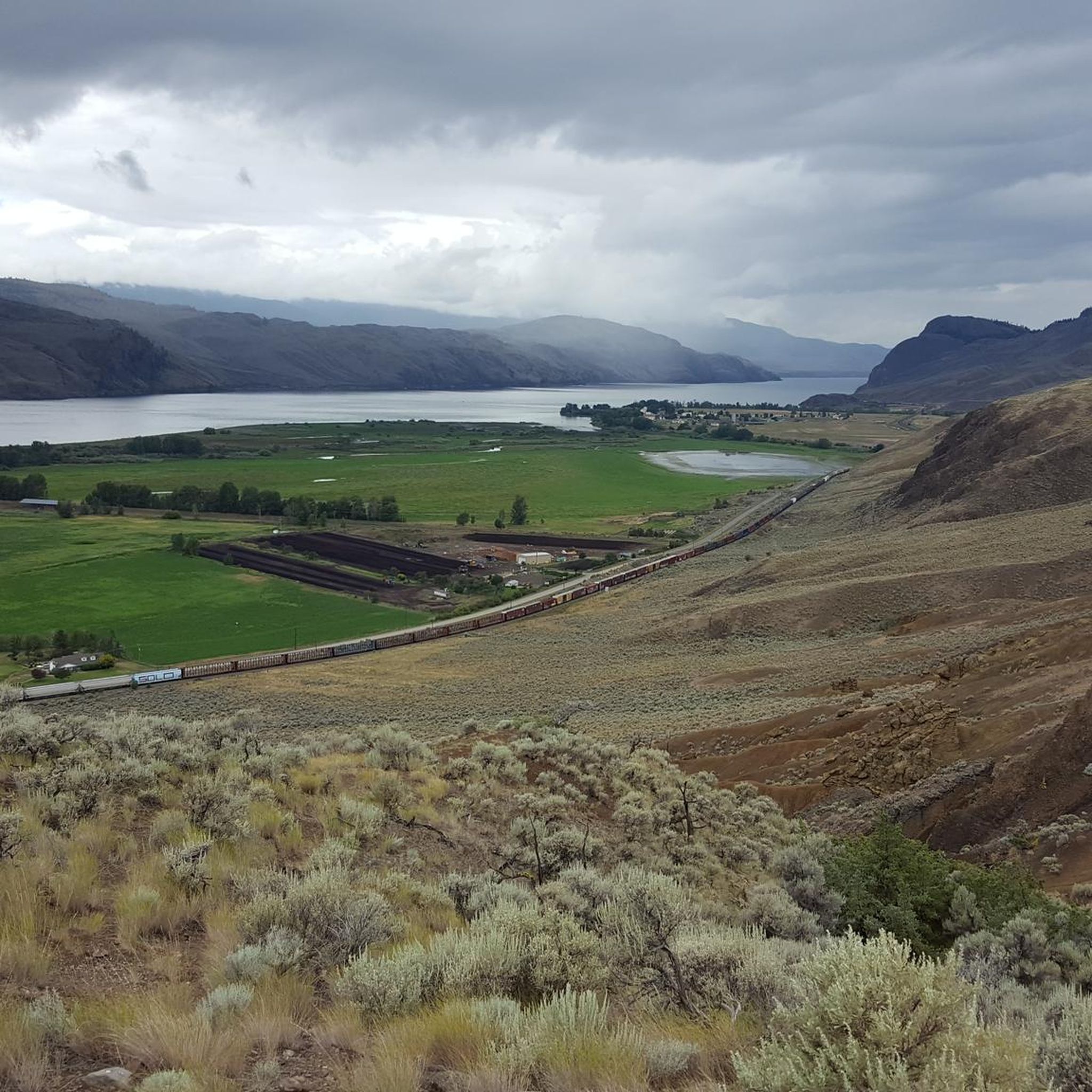
Cycling around Area P (Rivers and the Peaks)
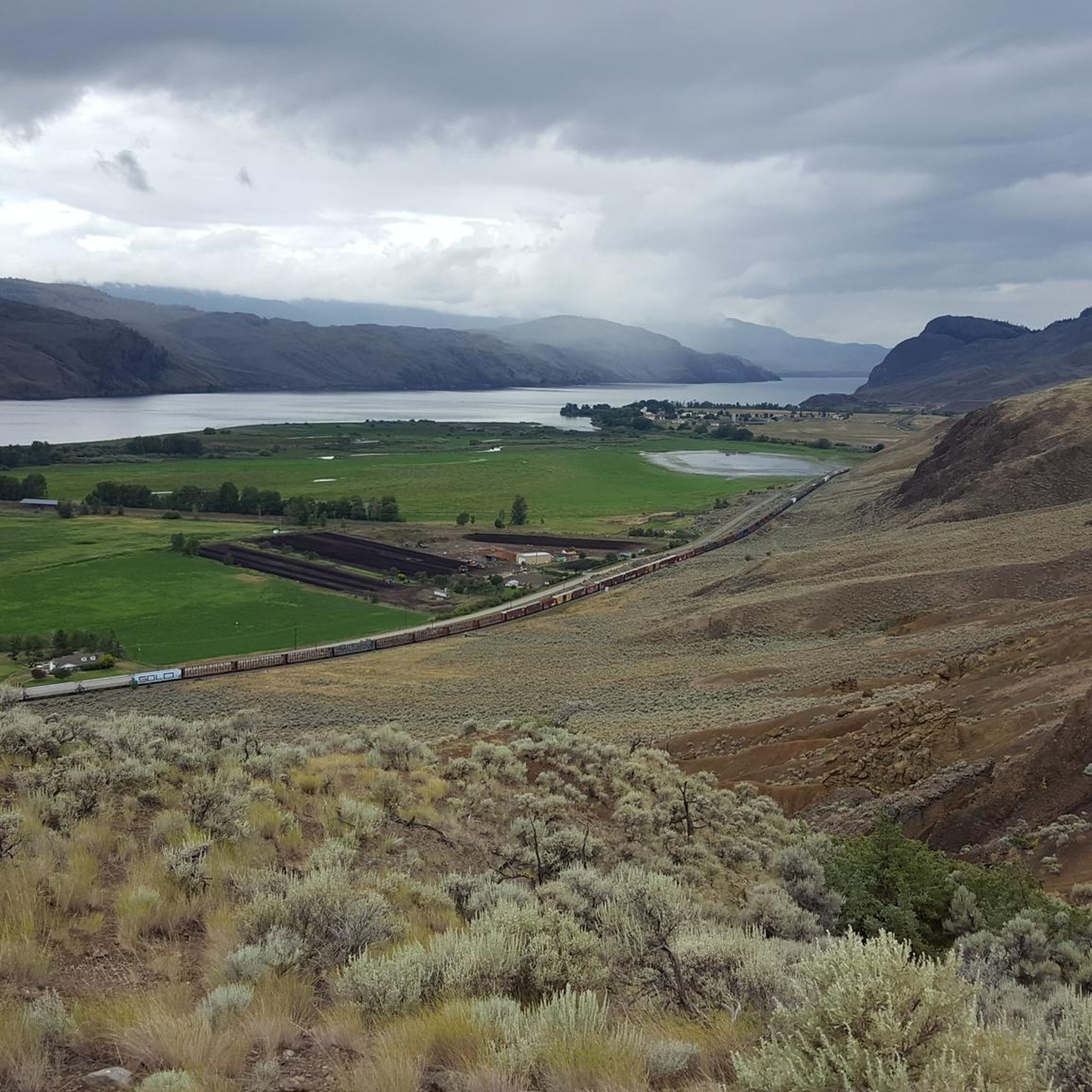
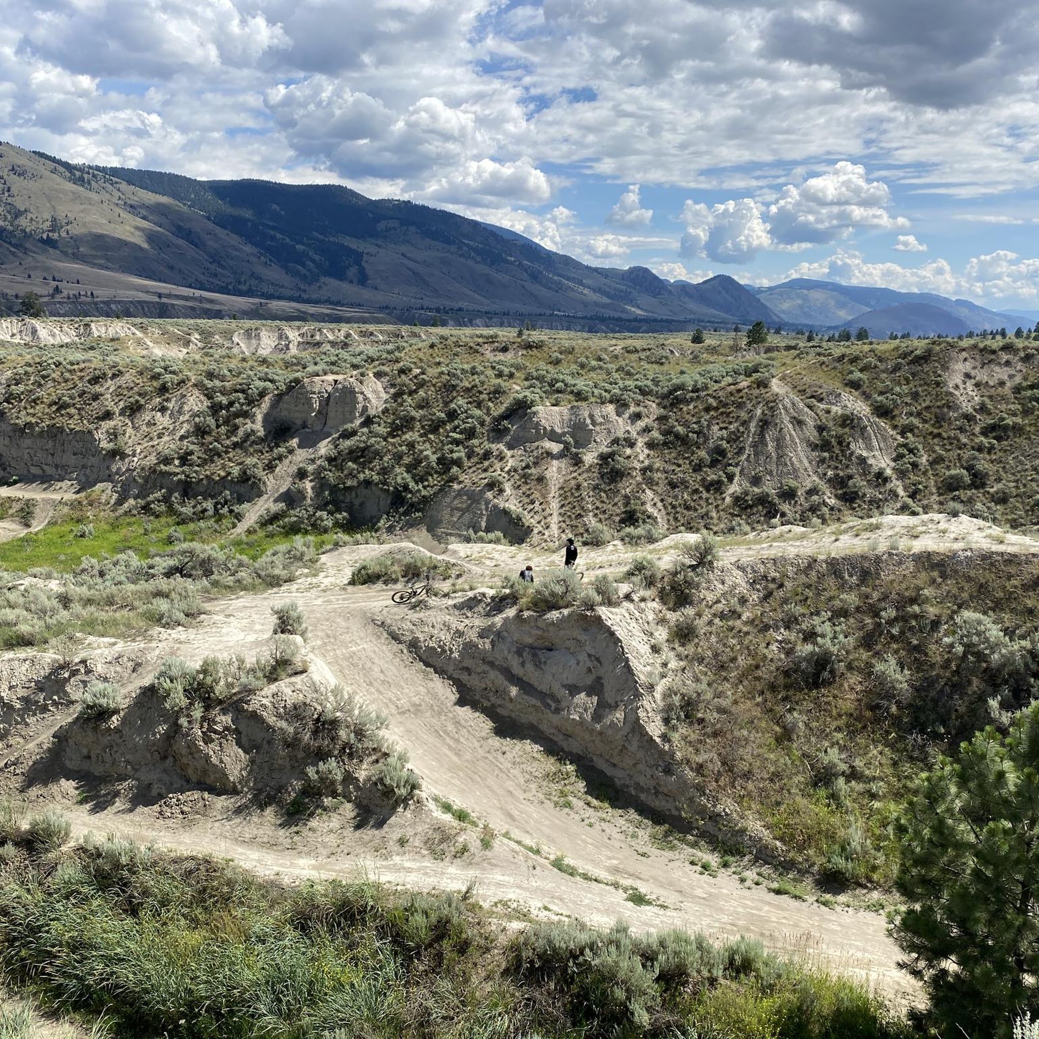
MTB Trails around Area P (Rivers and the Peaks)
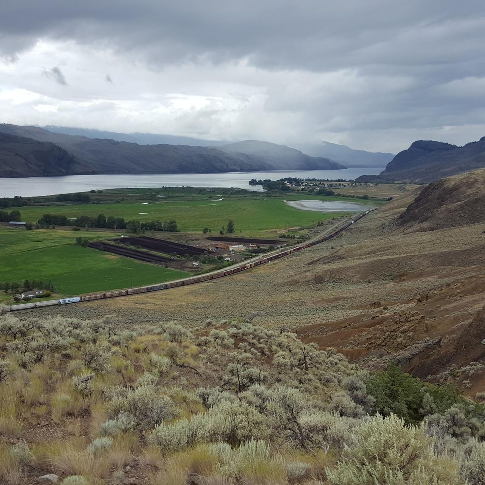
Road Cycling Routes around Area P (Rivers and the Peaks)

Gravel biking around Area P (Rivers and the Peaks)
Other adventures around Area P (Rivers and the Peaks)


Tips from the Community

The park has a neat row of benches overlooking the South Thompson River, open green space, and a collection of large outdoor modern art statues including the 'Forest Plaza' and 'Creation'. The path is paved and partially shaded by trees planted along the waterfront.
0
0
The Rivers Trail at Pioneer Park is a paved path that takes you by the old railway with beach access and plenty of parking. It's fun to see the old rail cars along the side of the path, and you get a nice view of the river by the bridge.
0
0

As you make your descent, you will travel through a unique desert-like canyon. The terrain changes beautifully from dry, open grasslands filled with sagebrush to lush creek beds shaded by large cottonwood trees.
0
0

The McArthur Island Trail is part of the 40 kilometers of trails that make up Kamloops's Rivers Trail. This trail makes a full loop around the perimeter of the island and if you come at quieter times of day you'll have a high chance of spotting some of the varied wildlife that call the area home.
0
0
This park has 12 baseball diamonds, disc golf, multi-use paths, soccer fields, a skate park, tennis courts, a stadium, event centre, and more! In short, there is something for everyone here, so no matter what you're looking for you'll likely find it.
0
0
From this point on the Rivers Trail you'll have a great view over the Thompson River to the hills on the opposite side. The convenient bench makes it the perfect place to have a break and take it all in.
0
0

At the highest point of Peterson Creek Nature Park, the trail forms a loop offering a panoramic view of Kamloops. From here, you can admire the city's landscape, with its road bridge in the foreground and Mount Peter in the background.
0
0
The Tom Moore Trail is a lovely marked trail that climbs into the hills above Kamloops. It crosses Peterson Creek Nature Park.
0
0
Frequently Asked Questions
How many hiking trails are available in Area P (Rivers and the Peaks)?
Area P (Rivers and the Peaks) offers a wide selection of routes, with over 30 hiking trails to explore. These range from easy walks to more challenging ascents, catering to various preferences and skill levels.
What kind of terrain can I expect when hiking in Area P (Rivers and the Peaks)?
The region is characterized by diverse terrain, including winding rivers, varied ecosystems, and hills under 200 meters. You'll find everything from serene riverside paths to trails with notable elevation gain, often leading through forests of ponderosa pine, spruce, and aspen. The landscape is shaped by tectonic forces and erosion, creating unique geological features.
Are there hiking options for all skill levels in Area P (Rivers and the Peaks)?
Yes, Area P (Rivers and the Peaks) provides hiking opportunities for all abilities. There are 20 easy routes, 11 moderate trails, and 1 more difficult option, ensuring that both beginners and experienced hikers can find suitable paths.
What natural features or landmarks can I see while hiking in Area P (Rivers and the Peaks)?
Hikers can discover a variety of natural features and landmarks. You might encounter stunning rock formations, such as the Hoodoos and rock formations, or enjoy panoramic views like those from Battle Bluff Cairn and View of Kamloops Lake. The region is also known for its rivers and lakes, including Tod Lake, and unique geological formations like View of basalt columns.
Are there any easy hiking trails suitable for beginners in Area P (Rivers and the Peaks)?
Absolutely. Many trails are suitable for beginners. For example, the Sunset Trail is an easy 3.1-mile (5.0 km) path with gentle gradients, typically completed in about 1 hour 24 minutes. Another accessible option is the Cooney Bay Beach Trail, a 2.6-mile (4.2 km) route through varied terrain.
Can I bring my dog on the hiking trails in Area P (Rivers and the Peaks)?
While specific regulations can vary by trail or park, many outdoor areas in regions like Area P (Rivers and the Peaks) are dog-friendly, especially on leash. It's always recommended to check local signage or park websites for the most current rules regarding pets before heading out.
Are there family-friendly hiking trails in Area P (Rivers and the Peaks)?
Yes, the region offers several family-friendly trails, particularly among the 20 easy routes available. These often feature gentle gradients and shorter distances, making them ideal for families with children. Trails along rivers or leading to scenic viewpoints are popular choices for a family outing.
What do other hikers enjoy most about hiking in Area P (Rivers and the Peaks)?
The komoot community highly rates the hiking experience in Area P (Rivers and the Peaks), with an average score of 4.2 stars from over 60 reviews. Hikers often praise the diverse terrain, from serene riverside trails to routes with notable elevation gain, and the opportunities to explore unique natural features.
Are there any circular walks in Area P (Rivers and the Peaks)?
Yes, many of the trails in Area P (Rivers and the Peaks) are designed as circular routes, allowing you to start and end at the same point. For instance, the Paul Lake Provincial Park loop from Paul Lake Provincial Park is a 4.5 km (2.8 miles) circular route, offering a convenient way to explore the area.
What is the best time of year to go hiking in Area P (Rivers and the Peaks)?
Hiking in 'Rivers and the Peaks' regions can be enjoyed year-round, with each season offering a unique experience. Spring is excellent for river hikes, while summer is ideal for mountain trails. Autumn brings vibrant foliage, and winter offers opportunities for snowshoeing, though some higher elevation trails may be inaccessible.
Are there any challenging hikes for experienced hikers in Area P (Rivers and the Peaks)?
While the majority of routes are easy to moderate, there is 1 designated difficult trail for those seeking a greater challenge. These more demanding routes often feature significant elevation gain and rugged terrain, providing a rewarding experience for experienced hikers.
Where can I find places to explore or points of interest near the hiking trails?
Beyond the trails, you can visit points of interest like Sun Peaks Village, a settlement offering amenities. For natural beauty, Riverside Park Beach provides a relaxing spot, and the Junction and trail to Cinnamon Ridge offers another interesting area to explore.
Most popular routes around Area P (Rivers and the Peaks)
Most popular attractions around Area P (Rivers and the Peaks)

Get inspired with the komoot mobile app


Explore more
Browse the best Hikes in other regions.
