The best walks and hikes around Mississauga
4.9
(62)
422
hikers
44
hikes
Hiking trails around Mississauga offer a diverse network of natural areas, parks, and trail systems. The region is characterized by extensive woodlands, river valleys along the Credit River, and conservation areas such as Rattray Marsh. These landscapes provide varied terrain, from paved paths to packed dirt trails and wooden boardwalks, suitable for nature exploration.
Best hiking trails around Mississauga
- The most popular hiking route is Riverwood Trail Loop, a 2.0 miles (3.2 km) trail that takes about 50 minutes to complete, winding through the significant natural space of Riverwood Conservancy.
- Another top favourite among local hikers is Sawmill Valley, Culham & UTM Nature Trail loop — Mississauga, an easy 4.2 miles (6.8 km) path. This route combines tranquil trails along Sawmill Creek with sections of the Culham Trail, offering varied scenery.
- Local hikers also love the Rattray Marsh Conservation Area loop — Mississauga, a 4.3 miles (6.9 km) trail leading through ecologically important marshland and forested areas, often completed in about 1 hour 45 minutes.
- Hiking around Mississauga is defined by river valleys, conservation areas, and dense forests, with options ranging from easy loops to moderate paths. The network offers choices for different ability levels.
- The routes in Mississauga are highly rated by the komoot community with an average score of 4.8 stars from over 60 reviews. More than 390 hikers have used komoot to explore Mississauga's varied terrain.
Last updated: October 16, 2026
4.8
(4)
46
hikers
4.84km
01:14
20m
20m
Easy hike. Great for any fitness level. Easily-accessible paths. Suitable for all skill levels.
5.0
(1)
16
hikers
3.20km
00:52
40m
40m
Easy hike. Great for any fitness level. Easily-accessible paths. Suitable for all skill levels.

5.0
(3)
14
hikers
9.20km
02:21
30m
30m
Moderate hike. Good fitness required. Easily-accessible paths. Suitable for all skill levels.
5.0
(2)
18
hikers
5.34km
01:21
10m
10m
Easy hike. Great for any fitness level. Easily-accessible paths. Suitable for all skill levels.
5.0
(6)
10
hikers
6.81km
01:47
50m
50m
Easy hike. Great for any fitness level. Easily-accessible paths. Suitable for all skill levels.
Get access to more routes and recommendations from other explorers.
Already have an account?
Our route recommendations are based on thousands of hikes, rides, and runs completed by other people on komoot.
Start today with a free account
Your next adventure awaits.
Tips from the Community

Adamson Estate is a peaceful heritage property right on the Lake Ontario shoreline, with mature trees, gardens and several historic buildings spread across the grounds. The main house dates from 1920, while the barn is even older, dating to around 1870. It’s a nice change of pace from the open waterfront, with quieter paths to wander before rejoining the Waterfront Trail.
0
0
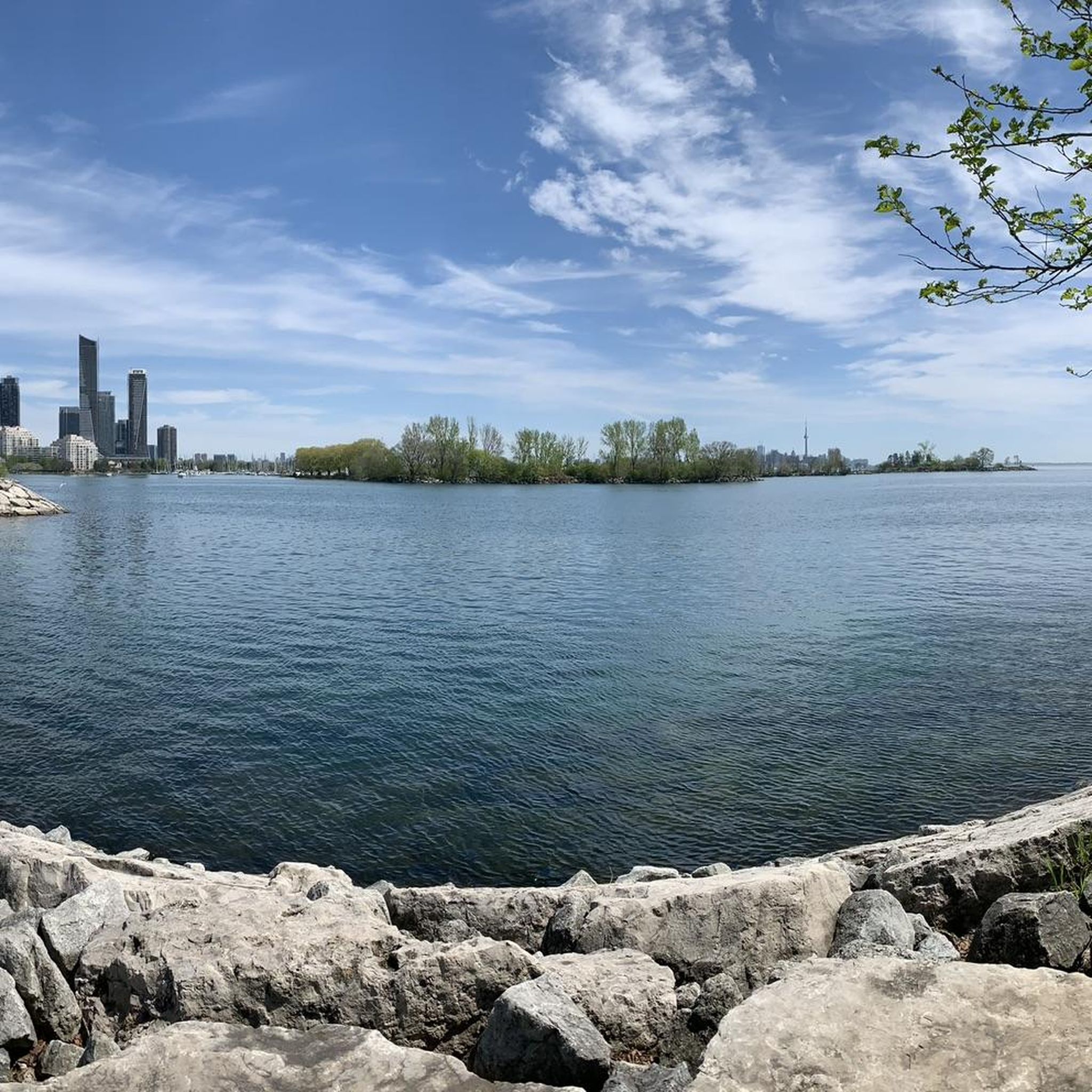
A short detour from the main Waterfront Trail leads out beside the marina to this quiet lookout over Lake Ontario. The path ends right at the water, with a bench facing across the lake and boats coming and going nearby. It’s one of the nicest places along this section to sit for a few minutes, especially when the waterfront trail is busy.
0
0
This section of Ontario’s Waterfront Trail keeps close to Lake Ontario as it links Lakefront Promenade Park with the neighbourhoods further west. The route is broad and mostly paved, passing small beaches, wooded pockets and stretches of open shoreline. It’s shared with cyclists, so keeping to the right is useful on busier days.
0
0

Fleetwood Park is a small neighbourhood park set along Etobicoke Creek, with open grassy space and direct access to the surrounding trail system. The park feels tucked into the residential area, with mature trees and the creek corridor creating a lovely, peaceful, natural space. From here, paths connect easily to the Etobicoke Creek Trail, making it a simple access point for walking or cycling along the water.
0
0
Etobicoke Creek flows south from the Oak Ridges Moraine to Lake Ontario, forming a natural boundary between Toronto and Mississauga along much of its course. The creek winds through a mix of wooded ravines, parkland, and urban areas, with sections that feel surprisingly quiet despite the surrounding city. Along its lower reaches, slower-moving water, small floodplains, and frequent green spaces make it a defining natural corridor in the western GTA.
0
0
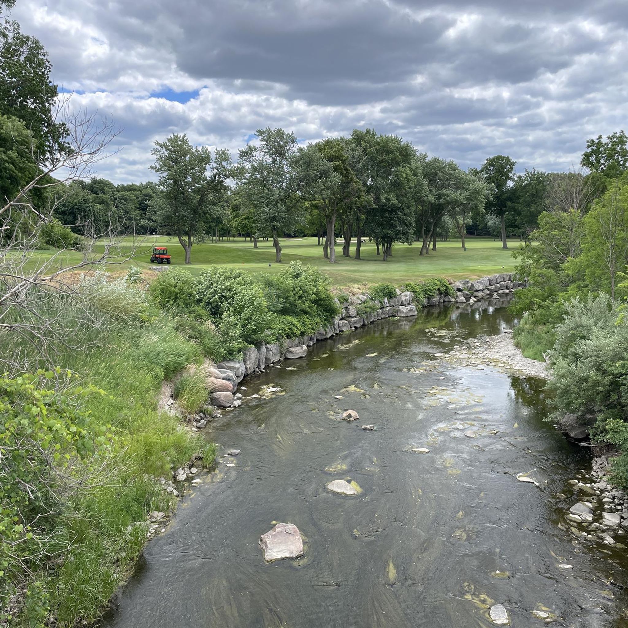
Etobicoke Creek Trail follows Etobicoke Creek for roughly 10 kilometres through a long green corridor on Toronto’s western edge, connecting parks, neighbourhoods, and natural areas along its route. The paved multi-use path is mostly flat and easy, winding between wooded sections, open parkland, and occasional road crossings. Along the way, the creek remains a constant presence, with stretches of quiet water, small bridges, and pockets of wildlife breaking up the urban surroundings.
0
0

A corridor of forest and creek, perfect for walking or biking under beautiful tree canopies. The trail mixes paved sections with hard-packed dirt, a few roots, and the occasional wooden boardwalk. It’s a gentle, shaded route where the sound of the creek follows you most of the way, and you can see picturesque cascades along the creek. During autumn, the surroundings burst with color, and the creek adds the perfect touch to the beautiful scenery.
0
0
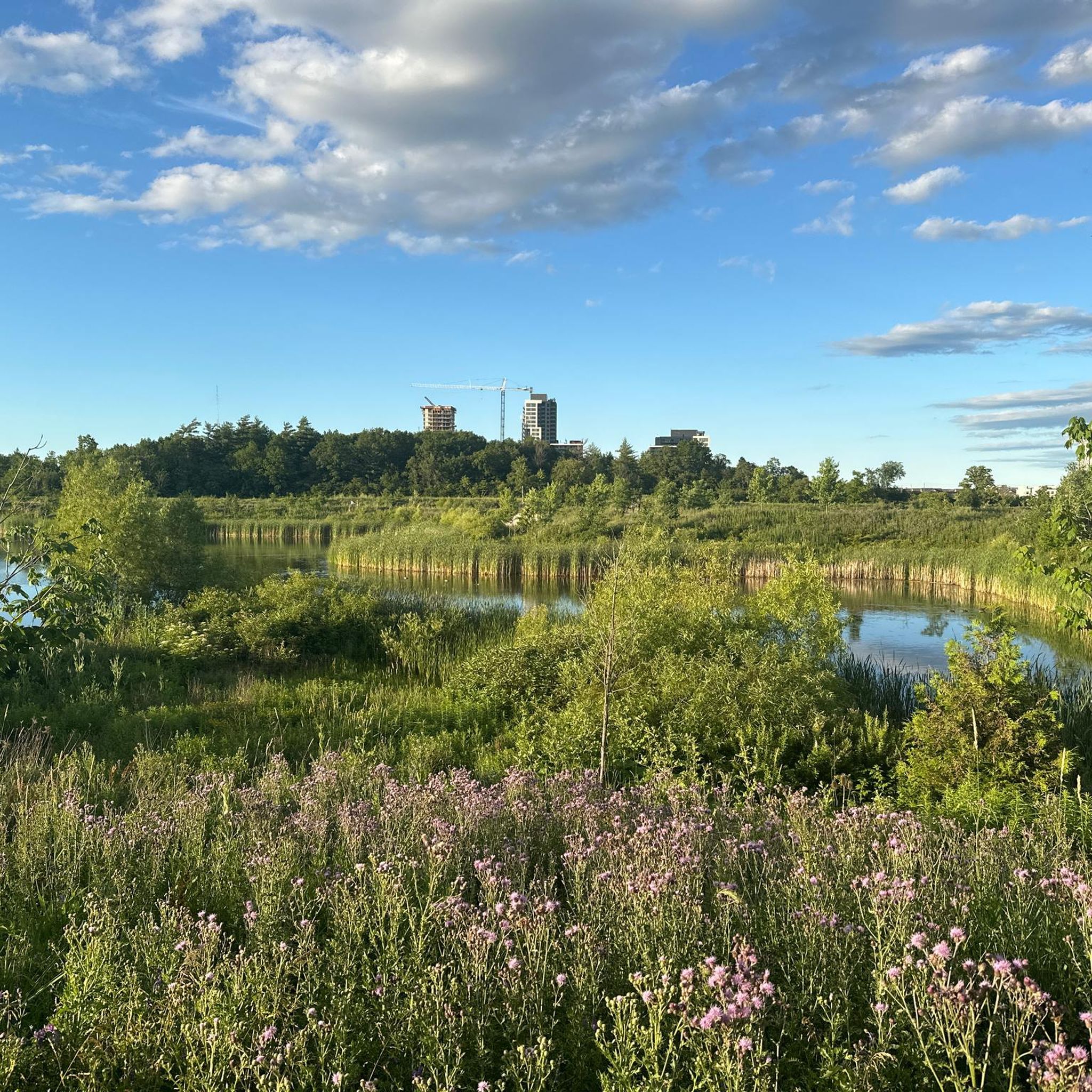
This stretch of the Credit River offers plenty of spots to pause along the bank. If you walk across the grassland in this area, you’ll find an entrance to a rocky beach along the river shoreline, perfect to chill and have a picnic. You can often see herons, ducks, and other wildlife in the slower pools.
0
0
Frequently Asked Questions
How many hiking trails are available in Mississauga?
Mississauga offers a wide selection of hiking opportunities, with over 30 routes documented on komoot. These trails cater to various preferences, ranging from easy strolls to more moderate paths through diverse landscapes.
Are there easy hiking trails suitable for beginners or casual walkers in Mississauga?
Yes, Mississauga has many easy trails. For instance, the Riverwood Trail Loop is an easy 2.0-mile path through the Riverwood Conservancy. Another great option is the Applewood Trail, which is also considered easy and offers a pleasant experience.
What natural features can I explore while hiking in Mississauga?
Mississauga's trails wind through diverse natural settings. You can explore river valleys along the Credit River, ecologically significant marshlands like the Rattray Marsh Conservation Area, and dense forests. Many trails also feature wooden boardwalks and wildflower fields, offering varied scenery.
Are there any family-friendly hiking trails in Mississauga?
Absolutely. Many of Mississauga's trails are suitable for families. Paths like those in Riverwood Conservancy or sections of the Culham Trail offer gentle terrain and opportunities for nature observation, making them ideal for all ages. The Riverwood Trail Loop is a popular choice for families.
Which trails in Mississauga are good for wildlife spotting?
For wildlife spotting, the Riverwood Conservancy is excellent for birdwatching, with up to 150 species identified. The Rattray Marsh Conservation Area is also known for observing swans, geese, frogs, and snakes. During spawning season, the Culham Trail along the Credit River is a notable spot to observe Chinook salmon.
Are there any loop hikes available in Mississauga?
Yes, several trails in Mississauga are designed as loops, providing a convenient hiking experience. The Sawmill Valley, Culham & UTM Nature Trail loop is a great example, combining different scenic sections. Another popular option is the Rattray Marsh Conservation Area loop, offering beautiful views of the marshland.
What do other hikers enjoy the most about hiking in Mississauga?
The hiking routes in Mississauga are highly rated by the komoot community, with an average score of 4.8 stars from over 60 reviews. Hikers often praise the diverse terrain, from tranquil river paths to dense forests, and the well-maintained trails that offer a peaceful escape into nature.
Are there any trails in Mississauga that are suitable for winter hiking?
Many of Mississauga's trails remain accessible and beautiful during winter. Areas like the Rattray Marsh Conservation Area and trails within the Riverwood Conservancy offer serene winter landscapes, though conditions can vary. Always check local conditions and dress appropriately for cold weather.
Can I find trails with good parking access in Mississauga?
Yes, many of Mississauga's popular parks and conservation areas, which serve as trailheads, offer dedicated parking facilities. For example, Erindale Park is a central hub with good access to multiple trails and parking, and areas like Lake Aquitaine Park also provide convenient parking for trail users.
What are some longer hiking options in Mississauga?
For those seeking longer hikes, the Etobicoke Creek Trail is an extensive 34.5-kilometer path that stretches through Mississauga and beyond, offering a mix of urban and natural scenery. Another option is the Sawmill Valley Trail, which is a moderate 5.4-mile route.
Are there any trails in Mississauga that are wheelchair accessible?
While specific data on fully wheelchair-accessible trails is limited, many of Mississauga's parks feature paved paths and boardwalks that may be suitable for wheelchairs. It's recommended to check specific park websites or contact the city for detailed accessibility information on individual trails.
What is the best time of year to go hiking in Mississauga?
Mississauga offers beautiful hiking experiences year-round. Spring brings blooming wildflowers, summer provides lush greenery, and autumn is particularly stunning with vibrant fall foliage, especially in areas like Rattray Marsh and around Lake Aquitaine. Winter offers a quiet, snowy landscape for those prepared for colder conditions.
Most popular routes around Mississauga
Most popular attractions around Mississauga

Get inspired with the komoot mobile app


Explore more
Browse the best Hikes in other regions.
