The best walks and hikes around Espedalsvatnet
4.7
(55)
289
hikers
33
hikes
Hiking around Espedalsvatnet offers diverse landscapes within the 18-kilometer-long Espedalen valley, a region characterized by birch forests and mountain terrain. Trails wind through thick heather and moss-covered rocks, with the highest point being Ruten Mountain at 1,517 meters. The area connects to the DNT network of trails in the Espedalen Protective Area and Langsua National Park.
Best hiking trails around Espedalsvatnet
- The most popular hiking route is Espedal Mountain Church – Cemetery Entrance loop from Espedalen, a 2.0 miles (3.3 km) trail that takes about 50 minutes to complete, offering an easy walk near the lake.
- Another top favourite among local hikers is River in Norway – Forest Stream loop from Espedalen Fjellkirke, an easy 3.4 miles (5.4 km) path that explores forest streams and natural surroundings.
- Local hikers also love the River in Norway – Wooden Bridge Over Forest Pond loop from Espedalen Fjellkirke, an 8.1 miles (13.0 km) trail leading through varied terrain including a wooden bridge over a forest pond, often completed in about 3 hours 37 minutes.
- Hiking around Espedalsvatnet is defined by birch forests, mountain terrain, and open heather, with routes ranging from easy paths to moderate ascents. The network offers options for different ability levels, from short loops to longer treks.
- The routes in Espedalsvatnet are highly rated by the komoot community with an average score of 4.7 stars from over 40 reviews. More than 250 hikers have used komoot to explore Espedalsvatnet's varied terrain.
Last updated: October 4, 2026
4.1
(7)
19
hikers
Easy hike. Great for any fitness level. Easily-accessible paths. Suitable for all skill levels.
4.3
(3)
12
hikers
5.40km
01:29
90m
90m
Easy hike. Great for any fitness level. Easily-accessible paths. Suitable for all skill levels.

4.5
(2)
6
hikers
Moderate hike. Good fitness required. Easily-accessible paths. Suitable for all skill levels.
5.0
(5)
7
hikers
11.9km
03:58
550m
550m
Moderate hike. Good fitness required. Easily-accessible paths. Suitable for all skill levels.
5
hikers
7.13km
02:58
590m
590m
Moderate hike. Good fitness required. Easily-accessible paths. Suitable for all skill levels.
Get access to more routes and recommendations from other explorers.
Already have an account?
Our route recommendations are based on thousands of hikes, rides, and runs completed by other people on komoot.
Start today with a free account
Your next adventure awaits.
Popular around Espedalsvatnet
Tips from the Community

There are plenty of moose tracks to be found here
0
0
The entrance to the cemetery, you reach Heiligengrund, be quiet, I'm awestruck!
0
0

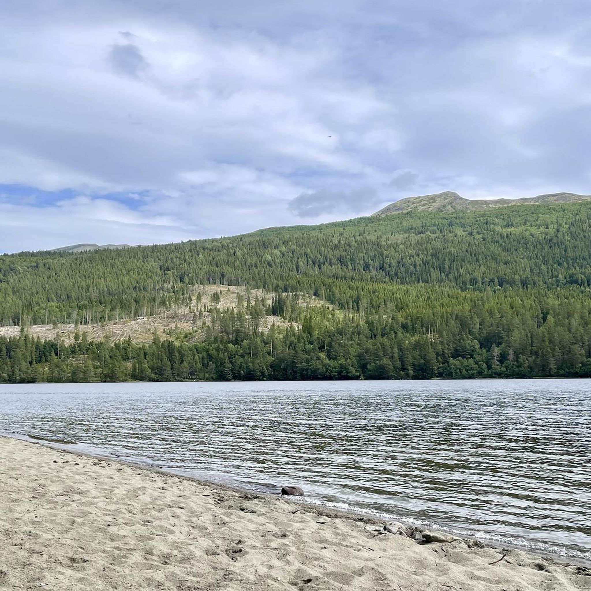
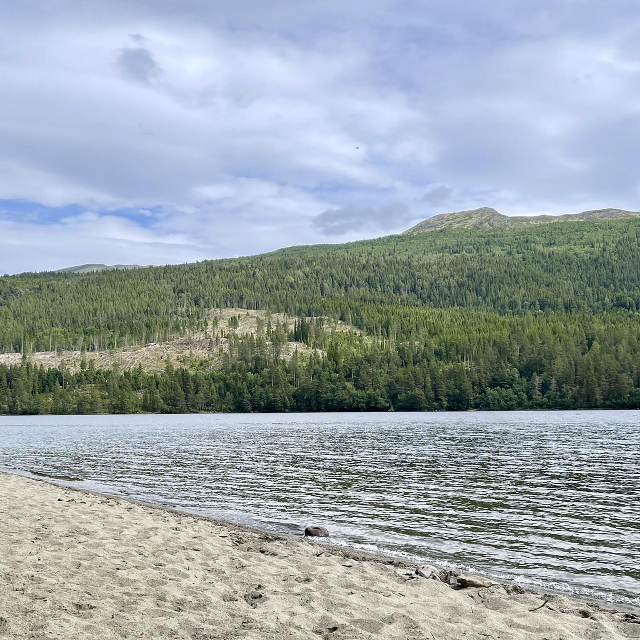
A nice sandy beach (elsewhere mostly pebbles or rocks). Looks almost tropical when the sun shines, but the water is icy.
0
0

Espedal mountain church, walk up and down Ruten
1
0
Frequently Asked Questions
How many hiking trails are available around Espedalsvatnet?
There are over 30 hiking trails around Espedalsvatnet, catering to various skill levels. You'll find a good mix of easy paths and more challenging moderate routes, with no difficult alpine trails in this immediate area.
What kind of terrain can I expect on hikes in Espedalen?
The terrain around Espedalsvatnet is diverse, featuring birch forests, open mountain landscapes, and paths winding through thick heather and moss-covered rocks. Some trails follow old cart roads, while others venture into natural terrain, offering varied scenery.
Are there any easy, family-friendly hikes suitable for all ages?
Yes, Espedalsvatnet offers several easy trails perfect for families. A good option is the Espedal Mountain Church – Cemetery Entrance loop from Espedalen, which is a short 3.3 km walk near the lake. Another gentle choice is the River in Norway – Forest Stream loop from Espedalen Fjellkirke, exploring forest streams over 5.4 km.
Can I bring my dog on the hiking trails around Espedalsvatnet?
Generally, dogs are welcome on trails in Norway, but it's important to keep them on a leash, especially during nesting seasons for birds and when livestock is present. Always check local regulations for specific trails or protected areas within Espedalen to ensure compliance.
What are some notable natural landmarks or viewpoints in the area?
The most prominent natural landmark is Ruten Mountain, the highest point in Espedalen at 1,517 meters. From its summit, on clear days, you can enjoy expansive views stretching all the way to the mountains of Jotunheimen and Rondane national parks. The valley itself, Espedalen, is also considered one of Gudbrandsdalen's most beautiful mountain regions.
Are there any circular hiking routes available?
Yes, many of the trails around Espedalsvatnet are designed as loops. For example, the River in Norway – Wooden Bridge Over Forest Pond loop from Espedalen Fjellkirke is a moderate 13.0 km circular route that takes you through varied terrain, including a picturesque wooden bridge.
What is the best time of year to go hiking in Espedalsvatnet?
The hiking season typically runs from late spring to early autumn. May brings pasque flowers, while autumn offers vibrant colors from blueberries and cloudberries. Summer provides the warmest weather and longest daylight hours. Always be prepared for changing mountain weather, regardless of the season.
Are there any historical sites or attractions to explore near the trails?
Yes, at the north end of Espedalsvatnet, you can find the remains of smelting and mining settlements. These sites date back to the 1600s for copper and the 1880s for nickel, offering a glimpse into the region's industrial past.
What do other hikers say about the trails in Espedalsvatnet?
The trails in Espedalsvatnet are highly regarded by the komoot community, with an average rating of 4.7 stars from over 40 reviews. Hikers often praise the varied terrain, the stunning mountain views, and the well-maintained paths that connect to the broader DNT network.
Are there any challenging hikes for experienced trekkers?
While there are no trails classified as 'difficult' in this specific guide, Espedalen offers moderate routes with significant elevation gain for those seeking a challenge. The Sprenbergom – Sprenpiggen (1,329 meters) loop from Myrset is a moderate 11.9 km hike with over 550 meters of ascent, providing a good workout and rewarding views.
Is there public transport access to the trailheads, or is a car necessary?
While specific public transport details to individual trailheads can vary, the region is generally more accessible by car. The 60-kilometer-long Peer Gyntveien (Peer Gynt Road) runs through the area, offering scenic drives and access to various starting points for hikes. It's advisable to check local bus schedules if relying on public transport, as services might be limited.
Are there places to rest or warm up along the longer routes?
Yes, the area features several warming huts that are open year-round for hikers. The Hulderbu, Bingsbu, and Tonebu huts are popular spots where you can take a break and warm up during your trek.
Most popular routes around Espedalsvatnet

Get inspired with the komoot mobile app


Explore more
Browse the best Hikes in other regions.
