The best road cycling routes around Cowichan Valley F
5.0
(3)
75
riders
6
rides
Road cycling routes around Cowichan Valley F traverse a diverse landscape shaped by glacial activity, featuring a prominent U-shaped valley and surrounding mountains. The region offers varied terrain, from flat sections along Lake Cowichan to significant uphill climbs through areas like the Sooke Hills. Cyclists encounter towering temperate forests, rivers, and lakes, providing a range of experiences from leisurely rides to challenging ascents.
Best road cycling routes around Cowichan Valley F
- The most popular road cycling route is View of…
Last updated: August 28, 2026
5.0
(1)
25
riders
113km
05:04
1,110m
1,110m
Hard road ride. Very good fitness required. Mostly well-paved surfaces and easy to ride.
5.0
(2)
16
riders
68.9km
03:17
680m
680m
Moderate road ride. Good fitness required. Mostly well-paved surfaces and easy to ride.

Sign up for free
9
riders
65.4km
02:58
590m
590m
Moderate road ride. Good fitness required. Some segments of this route may be unpaved and difficult to ride.
14
riders
25.6km
01:11
300m
300m
Easy road ride. Great for any fitness level. Mostly well-paved surfaces and easy to ride.
8
riders
59.7km
02:53
540m
540m
Moderate road ride. Good fitness required. Mostly well-paved surfaces and easy to ride.
Our route recommendations are based on thousands of hikes, rides, and runs completed by other people on komoot.
Start today with a free account
Your next adventure awaits.
Login or Signup
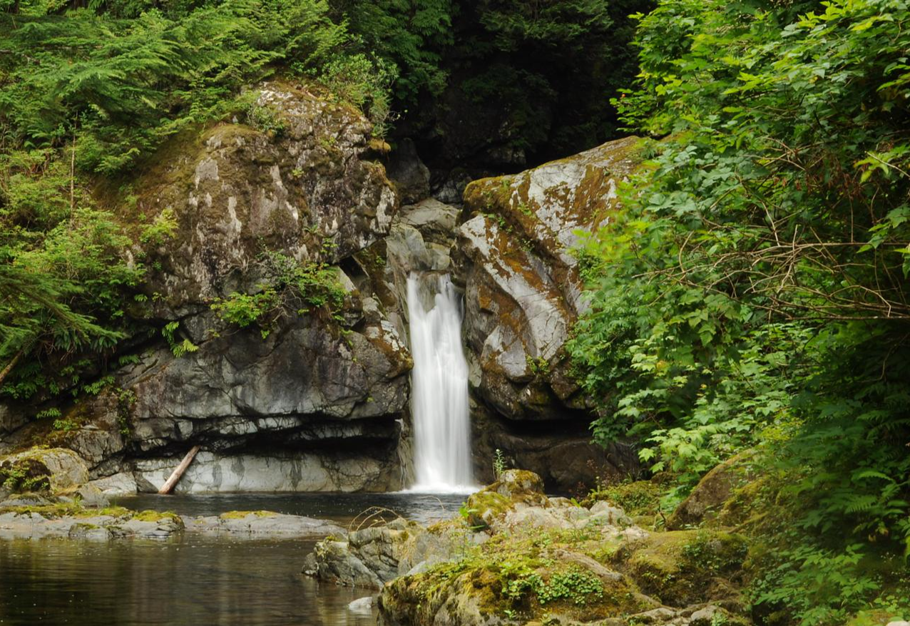
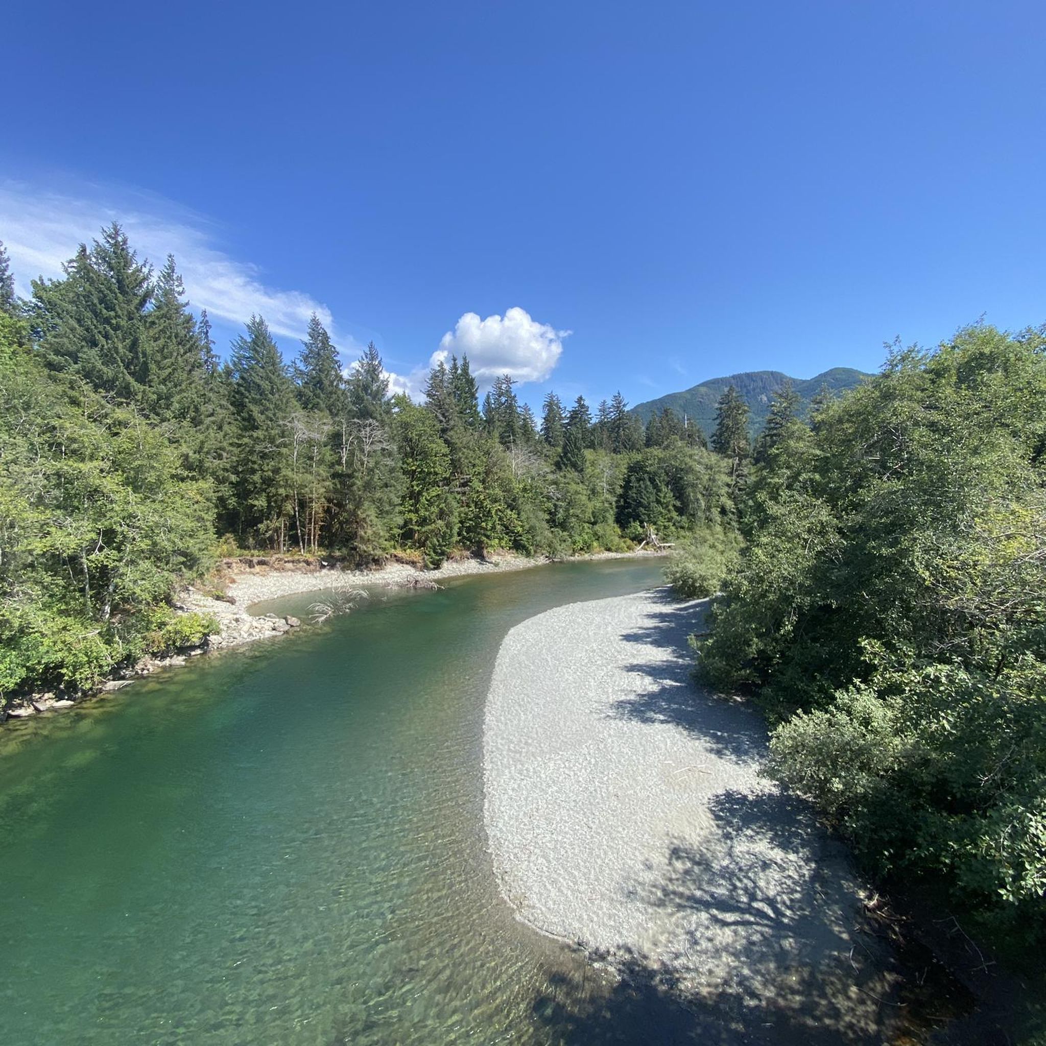
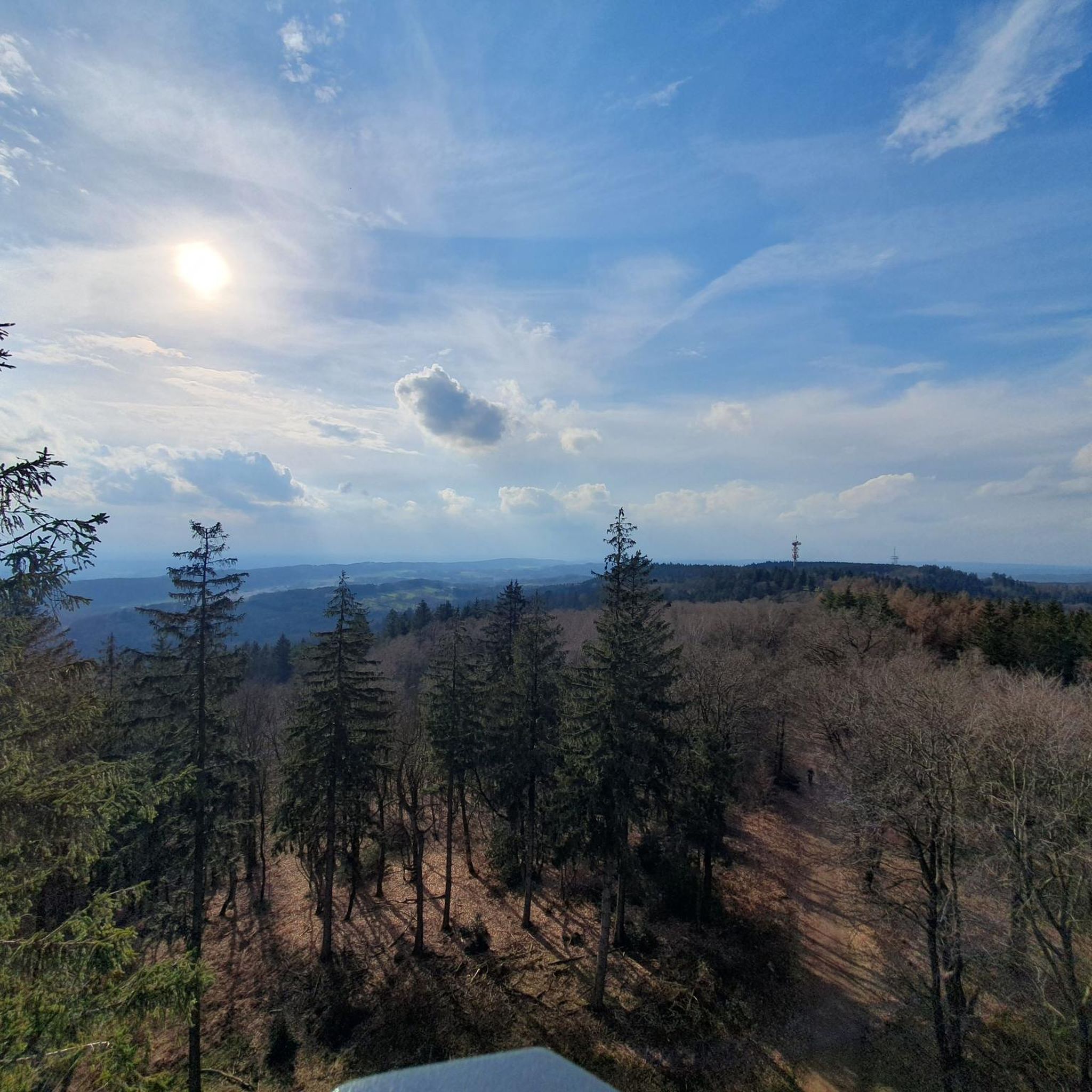
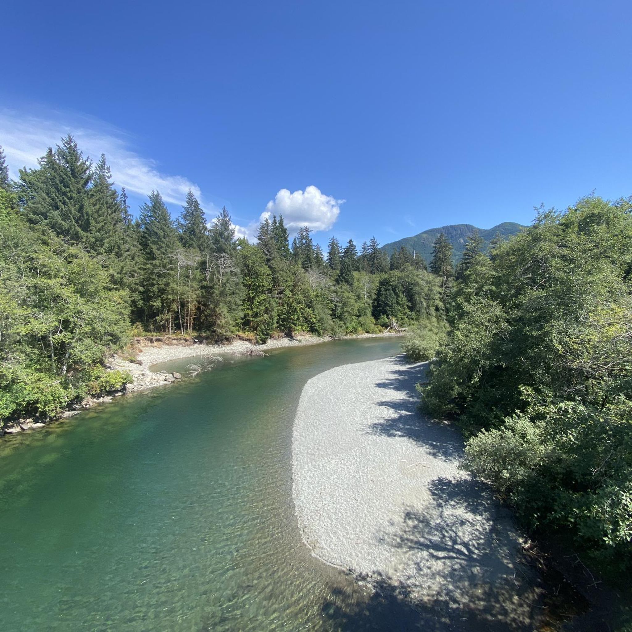
Other adventures around Cowichan Valley F

Tips from the Community

Herons Wood Park is a small natural area in North Cowichan with a short walking trail that winds through a quiet patch of woodland within the surrounding residential neighbourhood. The park is much quieter than the nearby sports parks, with forested surroundings, a lovely pond, and a simple trail that’s perfect for a short, peaceful walk with a more secluded atmosphere than many of the larger urban parks in Duncan.
0
0
Evans Park is a large sports park complex with baseball diamonds and multi-sport fields, and is one of the Cowichan Valley’s main venues for organized recreation. There are seven ball fields, and lots of open green space where you’ll likely see a local game in progress while you’re here. Despite its sports focus, the surrounding open areas and pathways are a great place for a casual walk around the fields.
0
0

Fairy Lake Recreation Site has 36 campsites for both tents and small RVs, with premium waterfront spots. Facilities include pit toilets, fire pits, and picnic tables at each site. The lake features a sandy beach for swimming, a non-motorized boat launch, and excellent fishing for cutthroat trout and Dolly Varden.
0
0

Transfer Beach Park is a seaside park in a picturesque harbor on the east coast of Vancouver Island. The park offers swimming, picnicking, Frisbee, beach volleyball, and kayaking. Aside from recreation, the grounds have historical plaques throughout.
0
0
Maple Bay Beach is nestled in a small seaside community of a deep-water inlet in the Sansum Narrows. It is sheltered by surrounding land and Salt Spring Island, which usually gives it calmer waters.
0
0


Narrow bridge in the river delta just before the bay of Port Renfrew. Name of the bridge and the surroundings show: Here you can see wildlife (at the right time of day)!
0
0
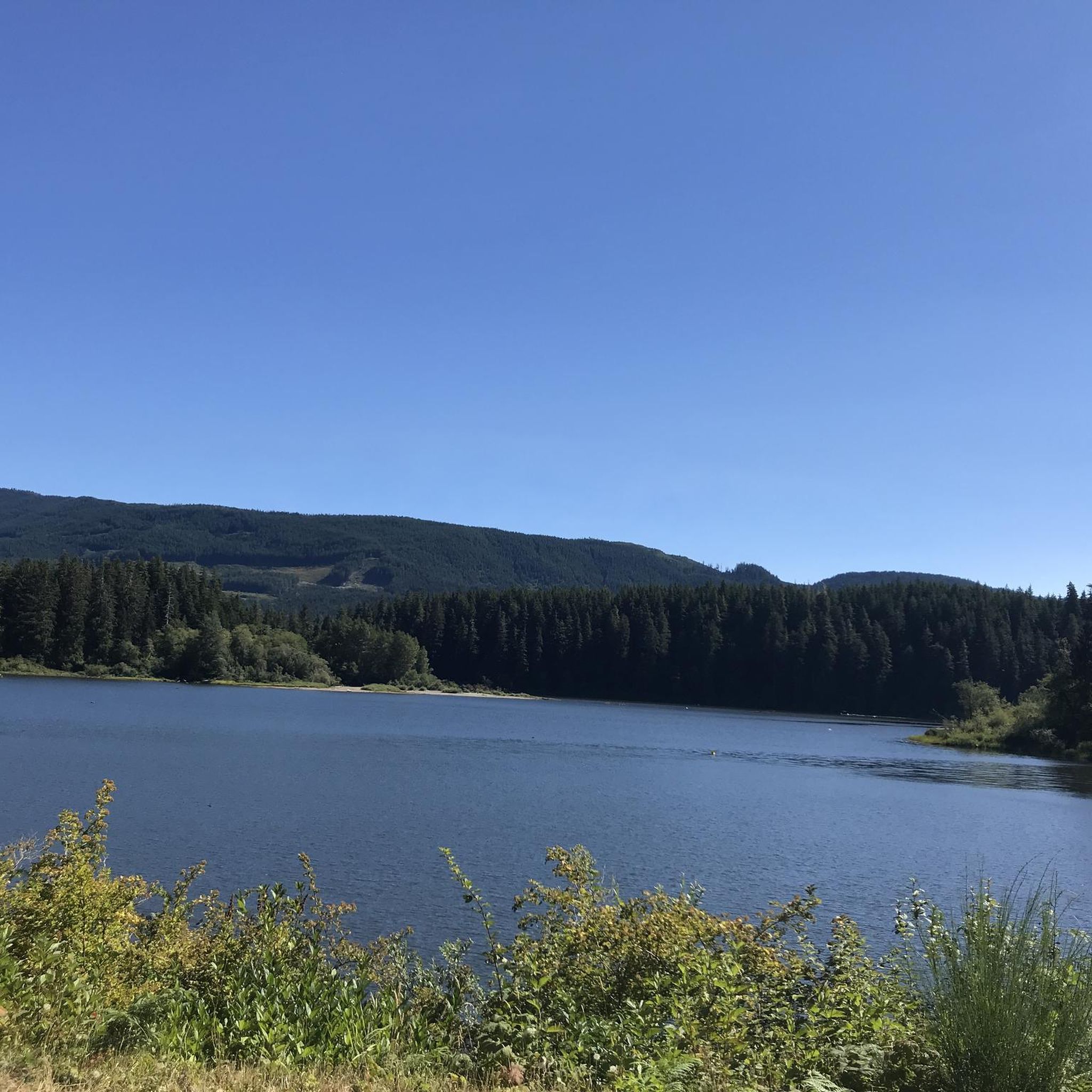
Very beautiful lake just before Port Renfrew. Especially the small tree growing in the middle of the lake deserves a picture!
0
0
Frequently Asked Questions
What kind of terrain can I expect on road cycling routes in the Cowichan Valley?
The Cowichan Valley offers a diverse range of terrain for road cyclists. You'll find everything from relatively flat sections, particularly along Lake Cowichan, to significant uphill climbs in areas like the Sooke Hills. The region's landscape, shaped by glacial activity, features a prominent U-shaped valley, towering temperate forests, and numerous rivers and lakes, providing varied surfaces and gradients.
Are there challenging road cycling routes for experienced riders in the Cowichan Valley?
Yes, the Cowichan Valley offers challenging routes for experienced road cyclists. For instance, the View of Harris Creek – Lizard Lake loop from Lake Cowichan is a difficult 112.6 km trail with over 1100 meters of elevation gain, taking approximately 5 hours to complete. This route features significant climbs through varied terrain.
What are some scenic highlights or landmarks I can see along road cycling routes?
Road cycling routes in the Cowichan Valley are rich with scenic views and landmarks. You can encounter lush forests, rolling terrain, and breathtaking ocean vistas. A notable highlight is the Kinsol Trestle, one of the tallest free-standing all-timber rail trestle structures in the world, which is part of the extensive Cowichan Valley Trail. Other natural features include Lake Cowichan and the Lizard Lake area.
Are there any easy or family-friendly road cycling options in the Cowichan Valley?
Yes, there are easier options suitable for less experienced riders or families. The Coffee Shack loop from Davis at Farrell Rd (WB) is an easy 25.6 km route with less than 300 meters of elevation gain, typically completed in under 1.5 hours. While the Cowichan Valley Trail is primarily gravel, sections offer leisurely rides through scenic areas.
What is the best time of year to go road cycling in the Cowichan Valley?
The Cowichan Valley, often called "The Warm Land," benefits from a mild, Mediterranean-like climate, making it suitable for road cycling for much of the year. Spring and fall offer pleasant temperatures and vibrant scenery, while summer provides warm, dry conditions. Even in winter, the mild climate often allows for cycling, though some higher elevation areas might be cooler.
Are there road cycling routes that form a loop in the Cowichan Valley?
Many road cycling routes in the Cowichan Valley are designed as loops, allowing you to start and finish in the same location. Examples include the Coffee Shack – View of Maple Bay loop from Ladysmith, a moderate 68.8 km route, and the Wake Lake – Conservation Boundary loop from Lake Cowichan, which covers 62.5 km through forested areas.
How many road cycling routes are available in the Cowichan Valley?
There are several dedicated road cycling routes around the Cowichan Valley, with komoot featuring 7 routes in this guide alone. These routes cater to various skill levels, from easy loops to difficult, long-distance adventures.
What do other road cyclists enjoy most about cycling in the Cowichan Valley?
The Cowichan Valley is highly rated by the komoot community, with an average score of 5.0 stars from 3 reviews. Cyclists often praise the region's diverse terrain, from flat sections along lakes to challenging climbs, and the stunning natural features like towering temperate forests, rivers, and coastal views. The variety of routes ensures there's something for every ability level.
Where can I find parking for road cycling routes in the Cowichan Valley?
Parking is generally available at various trailheads and community parks throughout the Cowichan Valley. For routes starting near Lake Cowichan or Ladysmith, you can often find designated parking areas. For example, the Glenora Trails Head Community Park is a known starting point for some trails.
Are there routes that offer coastal views or pass by lakes?
Absolutely. The Cowichan Valley's geography includes both extensive forests and coastal areas. Routes like the Coffee Shack – View of Maple Bay loop from Ladysmith offer scenic views of Maple Bay and rural countryside. You'll also find routes that pass by significant bodies of water such as Lake Cowichan and Lizard Lake, providing beautiful waterside cycling experiences.
Can I find routes that take me through forested areas?
Yes, the Cowichan Valley is known for its towering temperate forests, featuring Douglas fir, arbutus, and Garry oak. Many routes, such as the Wake Lake – Conservation Boundary loop from Lake Cowichan, lead through lush forested areas, offering a shaded and immersive cycling experience. The Cowichan Valley Trail — Rainforest Section is another prime example of cycling through dense woodlands.
Most popular routes around Cowichan Valley F
Most popular attractions around Cowichan Valley F

Get inspired with the komoot mobile app


Explore more
Browse the best Road cycling routes in other regions.
