The best running trails around Salt Spring Island Electoral Area
4.5
(6)
307
runners
35
runs
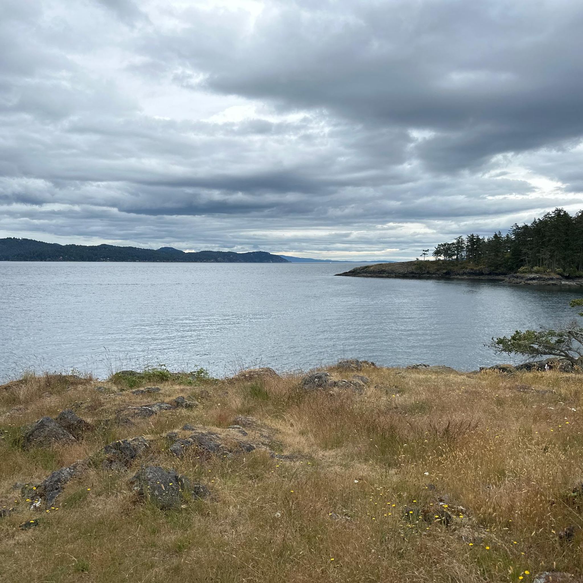
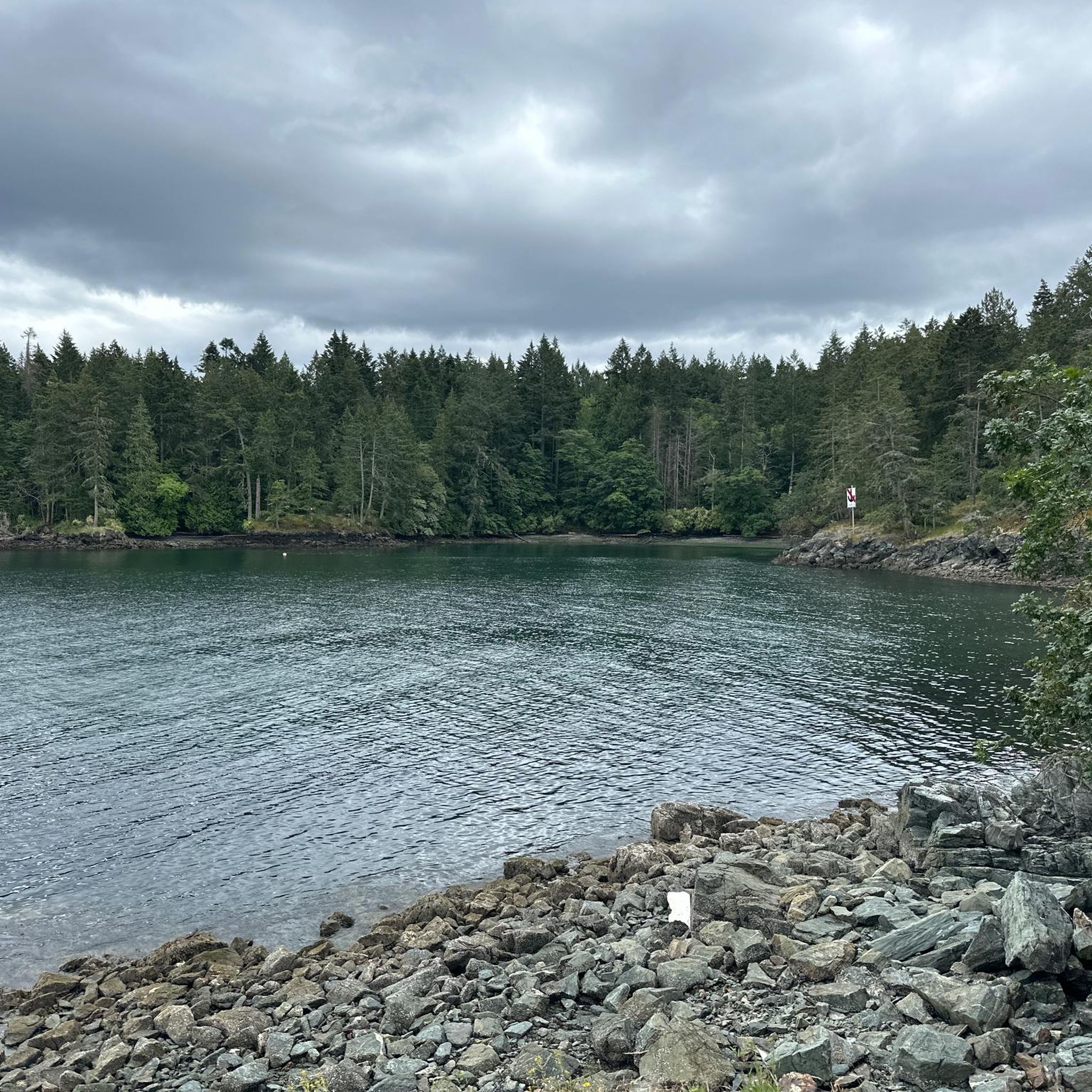
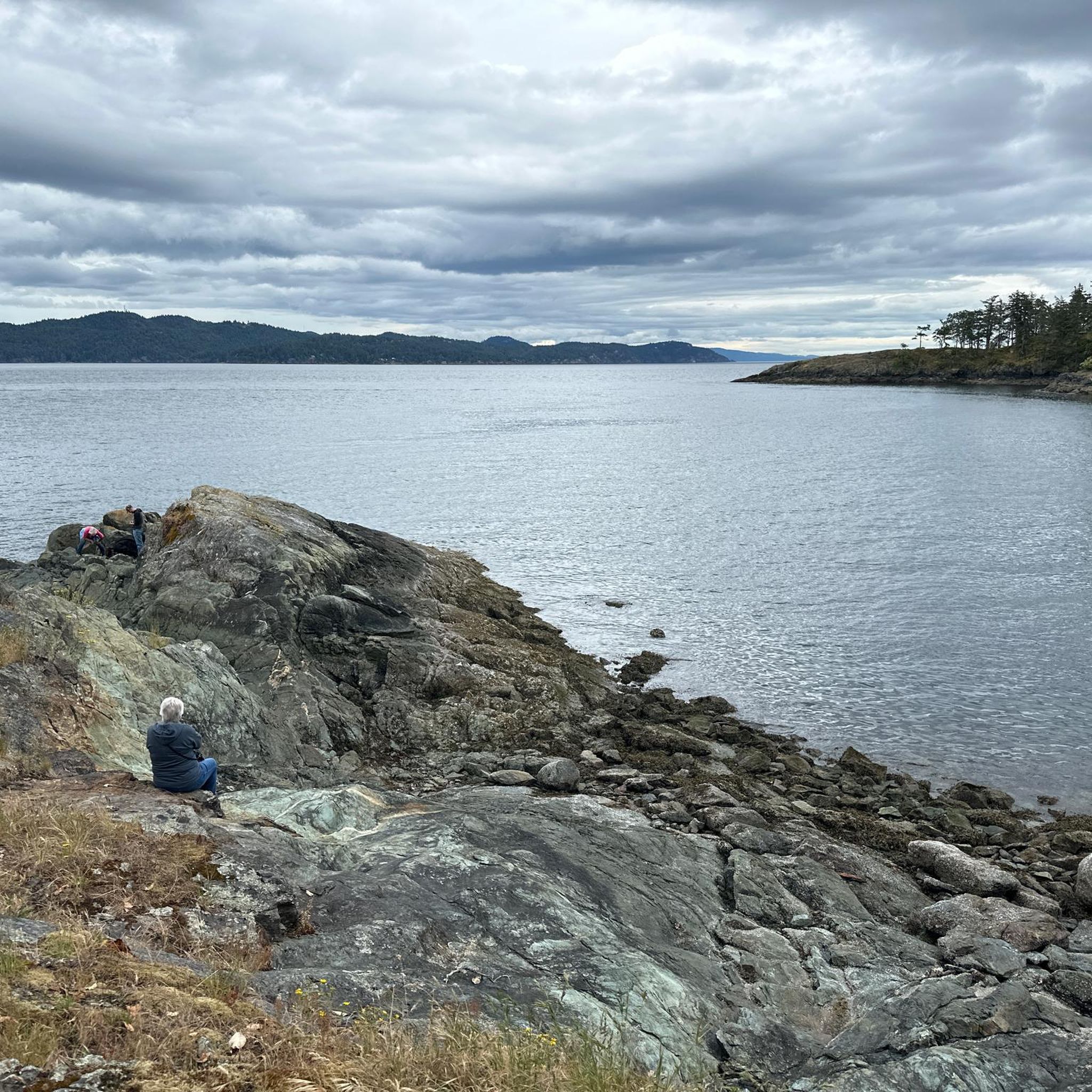
Jogging around Salt Spring Island Electoral Area offers diverse landscapes, from coastal paths to forested trails and routes with elevation gains. The region features a varied trail system, including flat sections and more challenging paths on hills. Natural features like St. Mary Lake, Garry Oak trees, and panoramic viewpoints from higher elevations define the running experience. This environment provides a range of options for runners seeking different terrains and scenic backdrops.
Best jogging routes around Salt Spring Island Electoral Area
- The most popular jogging route is Stoney Hill loop from Stoney Hill Trailhead, a 2.0 miles (3.3 km) trail that takes 25 minutes to complete. This easy loop offers a accessible running experience.
- Another top favourite among local runners is Running loop from Grace Islet, a moderate 5.1 miles (8.3 km) path. This route provides a scenic run along the coastline.
- Local runners also love the St. Mary Lake Beach loop from Fernwood Rd at Walkers Hook Rd (NB), a 6.6 miles (10.6 km) trail leading through the natural setting around the island's largest lake, often completed in about 1 hour 7 minutes.
- Jogging around Salt Spring Island Electoral Area is defined by diverse trail systems, coastal paths, and forested areas. The network offers options for various ability levels, from easy loops to routes with significant elevation changes.
- The routes in Salt Spring Island Electoral Area are highly rated by the komoot community with an average score of 4.4 stars from 5 reviews. More than 270 runners have used komoot to explore Salt Spring Island Electoral Area's varied terrain.
Last updated: October 13, 2026
11
runners
3.28km
00:26
80m
80m
Easy run. Great for any fitness level. Mostly paved surfaces. Suitable for all skill levels.
8
runners
8.26km
00:52
100m
100m
Moderate run. Good fitness required. Mostly paved surfaces. Suitable for all skill levels.

4
runners
10.5km
01:07
110m
110m
Moderate run. Good fitness required. Mostly paved surfaces. Suitable for all skill levels.
4
runners
8.56km
00:55
90m
90m
Moderate run. Good fitness required. Mostly paved surfaces. Suitable for all skill levels.
7
runners
11.2km
01:25
210m
210m
Moderate run. Good fitness required. Mostly paved surfaces. Suitable for all skill levels.
Get access to more routes and recommendations from other explorers.
Already have an account?
Our route recommendations are based on thousands of hikes, rides, and runs completed by other people on komoot.
Start today with a free account
Your next adventure awaits.
Frequently Asked Questions
What kind of terrain can I expect on running routes around Salt Spring Island Electoral Area?
Salt Spring Island offers a diverse range of running terrain. You'll find everything from easy, relatively flat coastal paths and paved surfaces to more challenging routes with significant elevation gains. Areas like Ruckle Provincial Park feature scenic coastal trails, while trails on Mount Maxwell provide strenuous climbs with rewarding panoramic views. Mouat's Park offers a moderately challenging loop through winding creeks and mature forests.
Are there any easy or beginner-friendly jogging routes on Salt Spring Island?
Yes, there are options suitable for beginners or those looking for an easier run. The Stoney Hill loop from Stoney Hill Trailhead is an easy 2.0-mile (3.3 km) trail. For a flatter, more structured environment, Portlock Park offers a 400-meter track open to the public year-round.
Which running trails offer the best views or natural features?
For stunning views, Mount Maxwell offers trails leading to panoramic vistas across Salt Spring Island. Coastal routes like the Running loop from Grace Islet provide scenic ocean views. The St. Mary Lake Beach loop takes you through the natural setting around the island's largest lake. Burgoyne Bay is known for its beautiful Garry Oak trees, and Mouat's Park features mature forests with Big Leaf Maples and Arbutus.
Are there any family-friendly running paths on Salt Spring Island?
Many trails are suitable for families, especially those with easier terrain. Mouat's Park, for instance, is accessible and features winding creeks and mature forests, making it a pleasant environment for a family run. While specific stroller accessibility varies, generally flatter sections of trails or paved paths like those in Portlock Park are good options.
Can I bring my dog on the jogging routes?
Salt Spring Island is generally dog-friendly, but regulations can vary by specific park or trail. It's always best to check local signage or park websites for the most current rules regarding dogs, especially in provincial parks like Ruckle Provincial Park. Typically, dogs are welcome on leash on most trails.
What is the best time of year to go running on Salt Spring Island?
Salt Spring Island offers good running conditions throughout much of the year due to its mild climate. Spring and fall provide pleasant temperatures and vibrant scenery. Summer is also popular, though it can be warmer, making early morning or late afternoon runs ideal. Winter running is possible, but some trails might be wet or muddy, so appropriate footwear is recommended.
Are there any circular running routes available?
Yes, many of the routes on Salt Spring Island are designed as loops, which are great for running. Examples include the easy Stoney Hill loop, the scenic Running loop from Grace Islet, and the St. Mary Lake Beach loop. Ruckle Provincial Park also offers various coastal loops.
What do other runners enjoy most about jogging in Salt Spring Island Electoral Area?
The area is highly rated by the komoot community, with an average score of 4.4 stars from 5 reviews. Reviewers often praise the diverse landscapes, from coastal paths to forested trails, and the variety of routes catering to different fitness levels. The natural beauty and peaceful atmosphere are frequently highlighted as key attractions for runners.
Are there any specific parks or areas known for good running trails?
Absolutely. Ruckle Provincial Park is highly recommended for its scenic coastal trails. Mount Maxwell offers challenging runs with incredible views. Burgoyne Bay and Channel Ridge also feature good trail systems. For runs closer to town, Mouat's Park is a popular choice, and St. Mary Lake provides a refreshing natural setting for loops.
Where can I find parking for the running trails?
Many popular trailheads, such as those at Ruckle Provincial Park, Burgoyne Bay, and Mount Maxwell, offer designated parking areas. For routes like the Stoney Hill loop, parking is available at the Stoney Hill Trailhead. For road running, some sections of Walker's Hook Road and North Beach Road are popular, but caution is advised regarding traffic and limited shoulders.
How many jogging routes are available around Salt Spring Island Electoral Area?
There are over 35 dedicated jogging routes available around Salt Spring Island Electoral Area. These routes vary in difficulty, with options ranging from easy paths to more challenging trails, ensuring there's something for every runner.
Are there any nearby attractions or points of interest I can visit after my run?
Yes, Salt Spring Island offers various attractions. While not directly on the jogging routes, you can explore places like Patricia Bay Park or the heritage farm within Ruckle Provincial Park. The island itself has a vibrant arts scene and local markets, providing plenty to see and do post-run.
Most popular routes around Salt Spring Island Electoral Area
Most popular attractions around Salt Spring Island Electoral Area

Get inspired with the komoot mobile app


Explore more
Browse the best Running Trails & Routes in other regions.
