The best cycling routes around Salt Spring Island Electoral Area
4.3
(33)
721
riders
15
rides
Touring cycling routes around Salt Spring Island Electoral Area traverse a diverse landscape characterized by winding roads, coastal stretches, and rolling hills. The island's topography includes significant elevation changes, with routes often passing through lush forests and picturesque farmlands. This region offers a blend of challenging climbs and scenic coastal paths, providing varied terrain for cyclists.
Best touring cycling routes around Salt Spring Island Electoral Area
- The most popular touring cycling route is Ruckle Campground loop from Ruckle Provincial Park, a 23.1 miles (37.1 km) difficult trail that takes 2 hours 41 minutes to complete, featuring significant elevation gain.
- Another top favourite among local touring cyclists is Walker Hook loop from Ganges, a difficult 24.3 miles (39.1 km) path. This route offers varied terrain through the island's interior and coastal areas.
- Local touring cyclists also love the Along the Waterfront – Salt Spring Island loop from Fulford-Ganges Rd at Isabella Point Rd (NB), a 34.4 miles (55.3 km) trail leading through coastal roads and forested sections, often completed in about 3 hours 39 minutes.
- Touring cycling around Salt Spring Island Electoral Area is defined by winding roads, coastal paths, and forested hills. The network offers options for different ability levels, from moderate loops to more challenging routes with substantial climbs.
- The routes in Salt Spring Island Electoral Area are highly rated by the komoot community with an average score of 4.1 stars from over 19 reviews. More than 500 touring cyclists have used komoot to explore Salt Spring Island Electoral Area's varied terrain.
Last updated: October 21, 2026
3.0
(3)
54
riders
34.4km
02:26
640m
640m
Hard bike ride. Very good fitness required. Mostly paved surfaces. Suitable for all skill levels.
3.7
(3)
60
riders
Hard bike ride. Very good fitness required. Mostly paved surfaces. Suitable for all skill levels.

18
riders
70.4km
04:46
1,090m
1,090m
Hard bike ride. Very good fitness required. Mostly paved surfaces. Suitable for all skill levels.
11
riders
41.3km
02:44
620m
620m
Hard bike ride. Very good fitness required. Mostly paved surfaces. Suitable for all skill levels.
8
riders
17.9km
01:09
230m
230m
Moderate bike ride. Good fitness required. Mostly paved surfaces. Suitable for all skill levels.
Get access to more routes and recommendations from other explorers.
Already have an account?
Our route recommendations are based on thousands of hikes, rides, and runs completed by other people on komoot.
Start today with a free account
Your next adventure awaits.
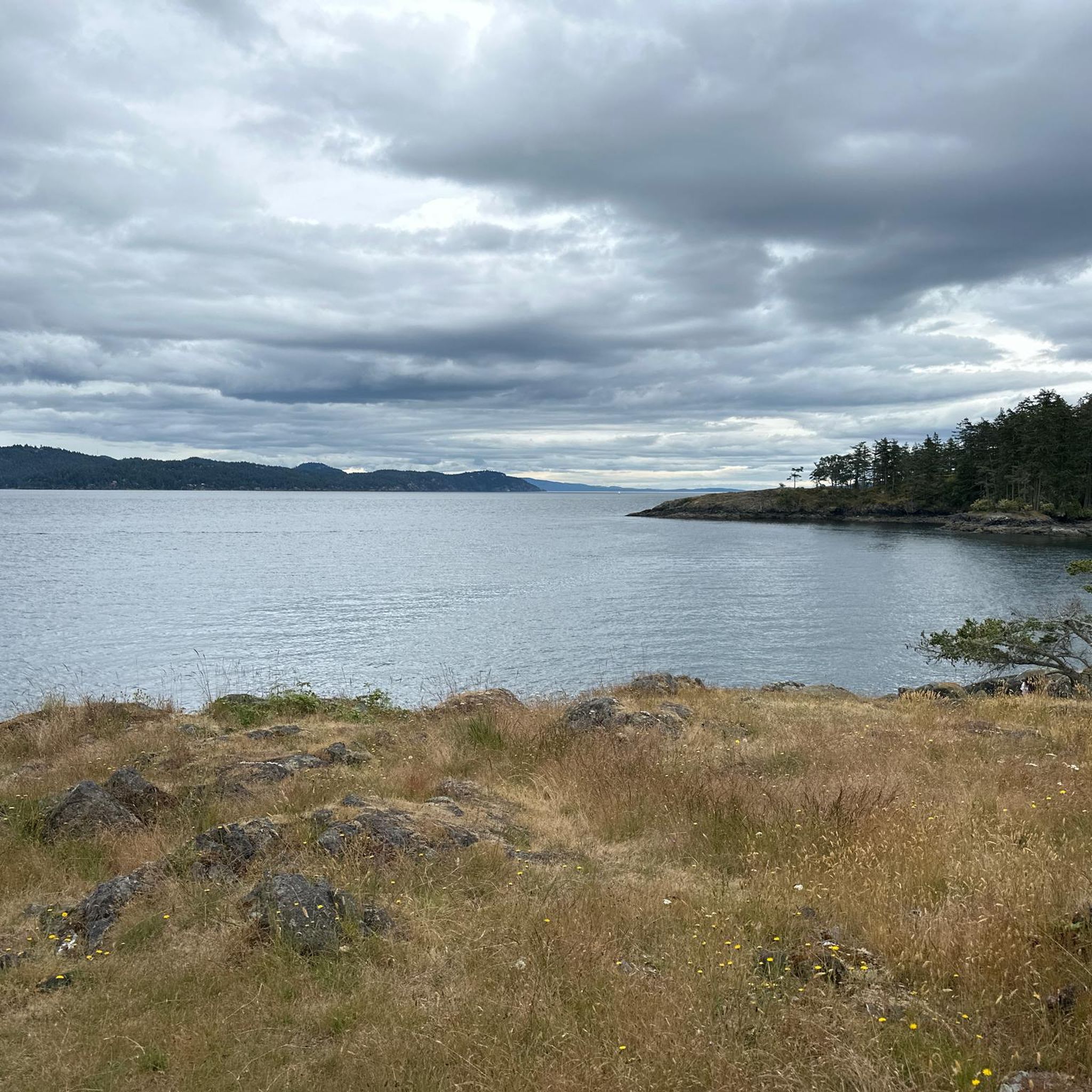
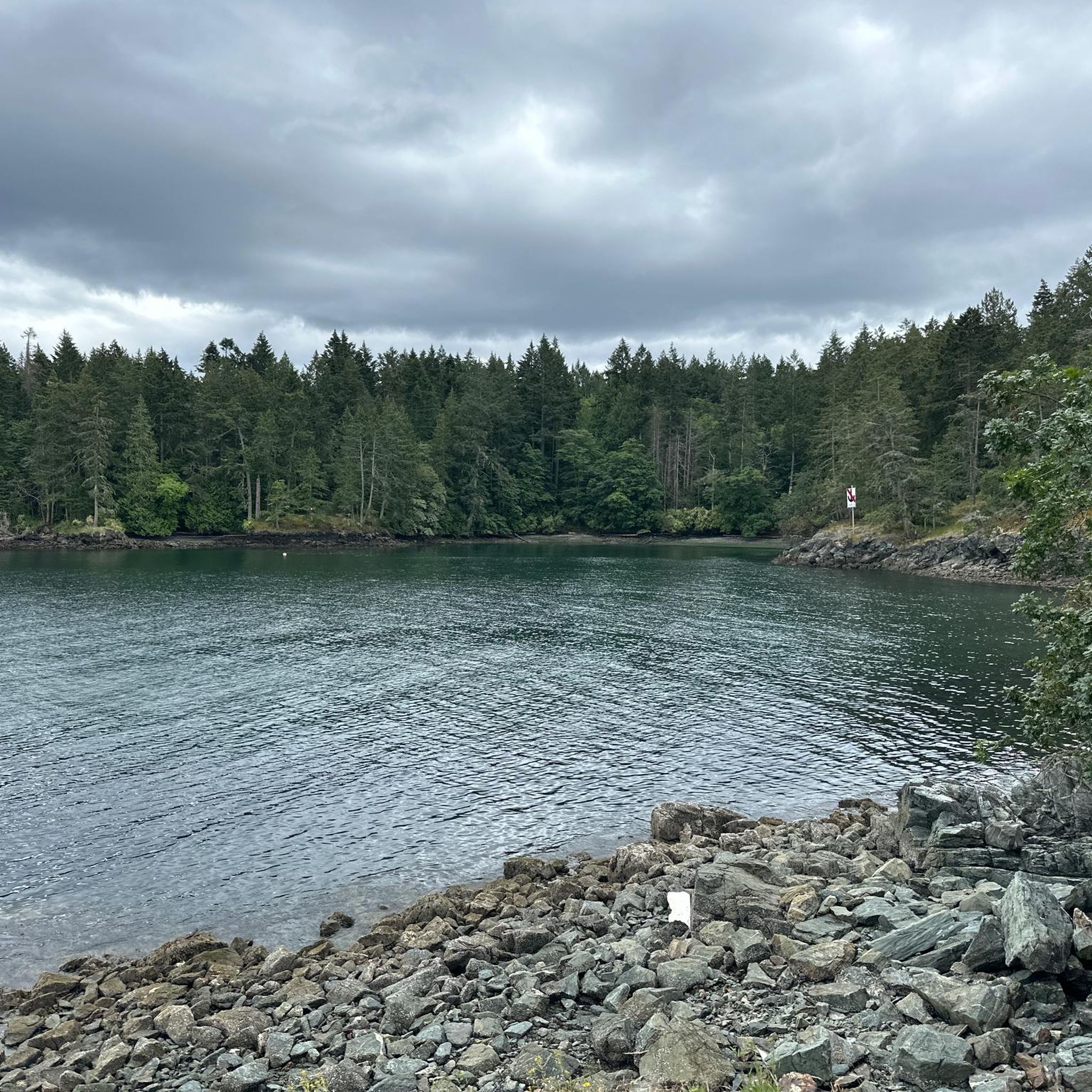
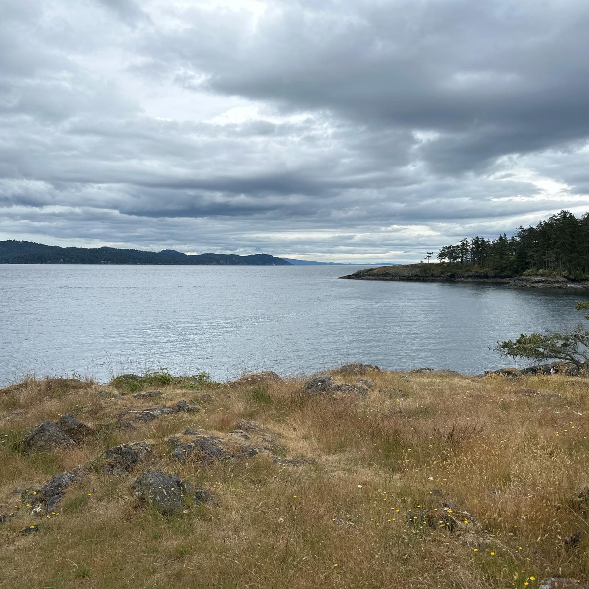
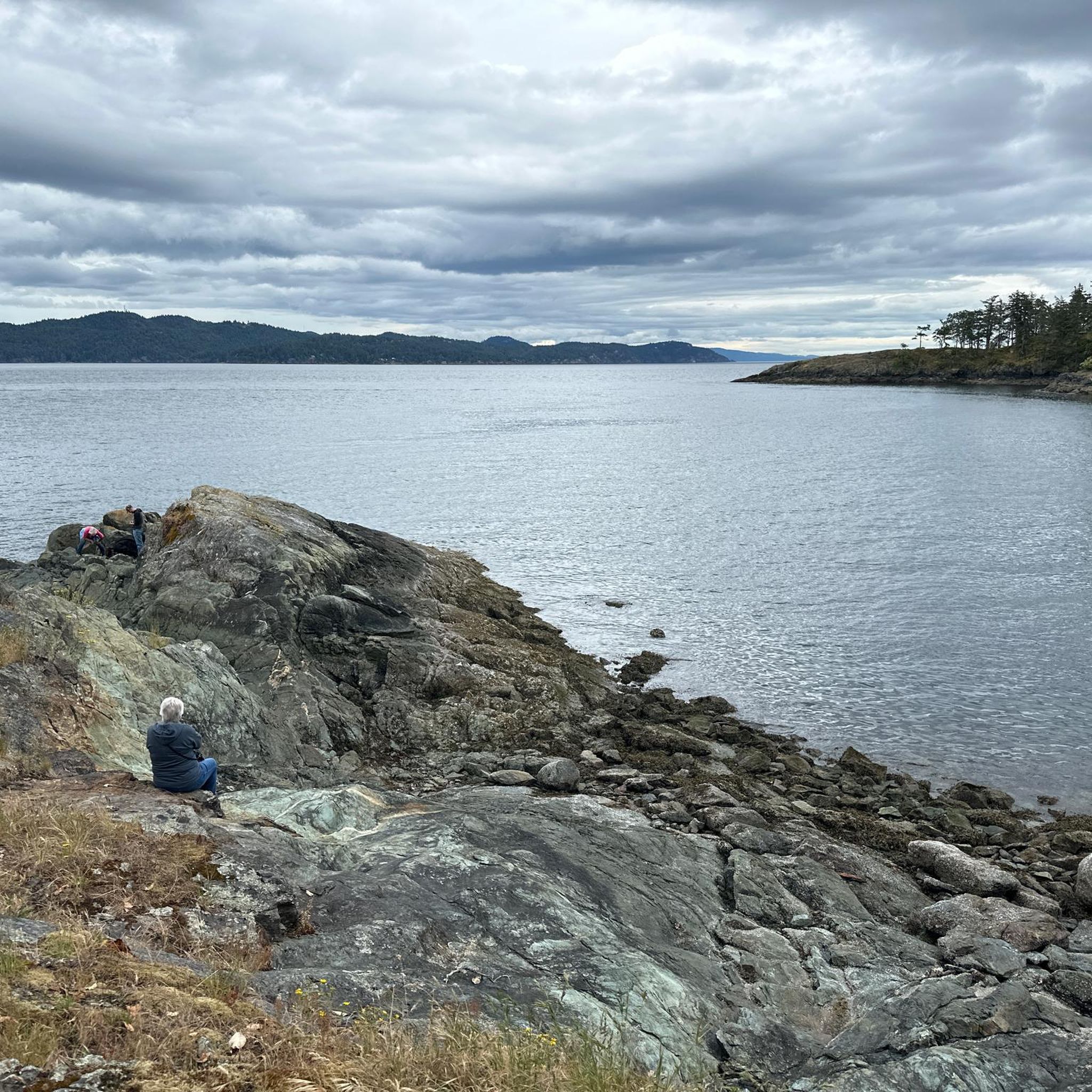
Tips from the Community

Don’t ride on Salt Spring. Drivers are terrible and shoulders are non existent
0
0

Slow down and take your time and stop at the many farm stands that sell all Kinds of local foods including baked goods, fruit and even popsicles .
0
0
Frequently Asked Questions
How many touring cycling routes are available in Salt Spring Island Electoral Area?
There are over 15 touring cycling routes available in Salt Spring Island Electoral Area, catering to various skill levels. These routes are highly rated by the komoot community, with an average score of 4.1 stars from over 19 reviews.
What kind of terrain can I expect when touring cycling on Salt Spring Island?
Salt Spring Island offers a diverse cycling landscape with winding roads that traverse mountains, hug the shoreline, and meander through lush forests and farmlands. Expect rolling hills and significant elevation changes, providing both challenging climbs and scenic coastal paths. Some roads are narrow and may lack shoulders.
What is the best time of year for touring cycling on Salt Spring Island?
Spring and fall are generally recommended as the best times to visit for cycling. During these seasons, traffic is lighter, allowing for a more serene experience on the island's roads.
Are there any easy or beginner-friendly touring cycling routes on Salt Spring Island?
While many routes on Salt Spring Island feature significant elevation, there are options for varying abilities. For a moderate experience, consider the Vesuvius Bay – St. Mary Lake Beach loop from Monteith Drive Park Reserve, which covers 20 km with less elevation compared to some of the more challenging loops.
Where can I find challenging touring cycling routes on Salt Spring Island?
Salt Spring Island is known for its hilly terrain, offering excellent challenges for experienced cyclists. Routes like the Ruckle Campground loop from Ruckle Provincial Park (37.1 km with over 700m elevation gain) or the Along the Waterfront – Salt Spring Island loop from Fulford-Ganges Rd at Isabella Point Rd (NB) (55.3 km with nearly 800m elevation gain) provide substantial climbs and rewarding views.
Are there any circular touring cycling routes on Salt Spring Island?
Yes, many of the touring cycling routes on Salt Spring Island are designed as loops, allowing you to start and end at the same point. Examples include the Walker Hook loop from Ganges and the Lake Stowell – Vesuvius Bay loop from Monteith Drive Park Reserve, both offering varied scenery.
What natural features or landmarks can I see while cycling on Salt Spring Island?
Cyclists can enjoy diverse natural beauty, including coastal views, lush forests, and picturesque farmlands. Notable features include the shoreline at Ruckle Provincial Park, the unique Arbutus trees, and views of the Salish Sea from higher elevations. Lakes like St. Mary Lake and Cusheon Lake also offer scenic spots.
Are there any family-friendly cycling options or activities on Salt Spring Island?
While many routes involve hills, families can enjoy gentler sections or explore areas like Beddis Beach, known for its shallow waters. For off-bike activities, Ruckle Provincial Park offers extensive trails and beachcombing, and Cusheon Lake has a sand beach for swimming. Local farm stands and markets also provide pleasant stops.
What amenities are available for cyclists on Salt Spring Island?
Salt Spring Island offers various amenities. You'll find local farm stands, the Salt Spring Island Cheese Company, Salt Spring Island Brewing, and several wineries and cider houses that make for pleasant stops. For bike-specific needs, there are bike shops and rental services available on the island.
Can I combine cycling on Salt Spring Island with other islands or regions?
Yes, Salt Spring Island's ferry connections make it an excellent base for multi-day bikepacking adventures. You can connect via ferry to the Cowichan Valley, Victoria, and Vancouver, allowing for longer loops such as the approximately 115 km Cowichan-Salt Spring route.
Are there specific parking locations for accessing touring cycling routes?
Parking is generally available at key access points for popular routes, such as Ruckle Provincial Park. For routes starting in towns like Ganges or near ferry terminals, public parking options are usually present, though it's advisable to check local signage for specific regulations.
What do other touring cyclists enjoy most about cycling in Salt Spring Island Electoral Area?
The area is highly rated by the komoot community, with an average score of 4.1 stars. Reviewers often praise the stunning coastal views, the challenge of the hilly terrain, and the serene experience of cycling through diverse landscapes of forests and farmlands.
Most popular routes around Salt Spring Island Electoral Area
Most popular attractions around Salt Spring Island Electoral Area

Get inspired with the komoot mobile app


Explore more
Browse the best Cycling routes in other regions.
