The best cycling routes around Kolbeinsvatnet
4.6
(104)
993
riders
7
rides
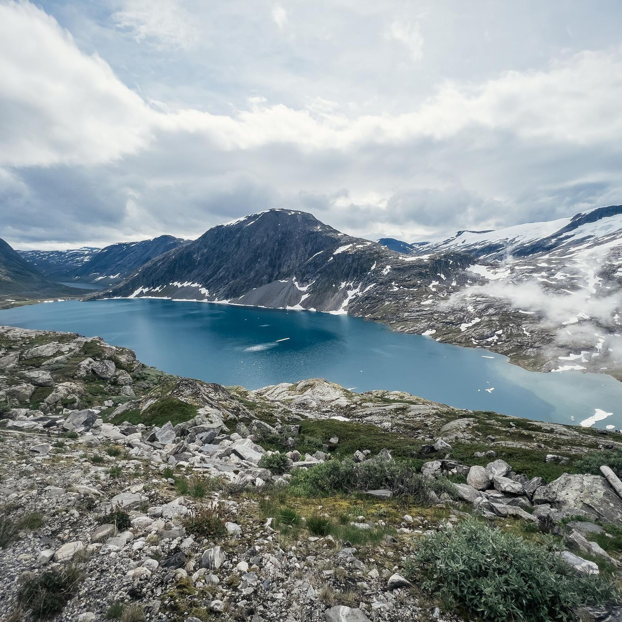
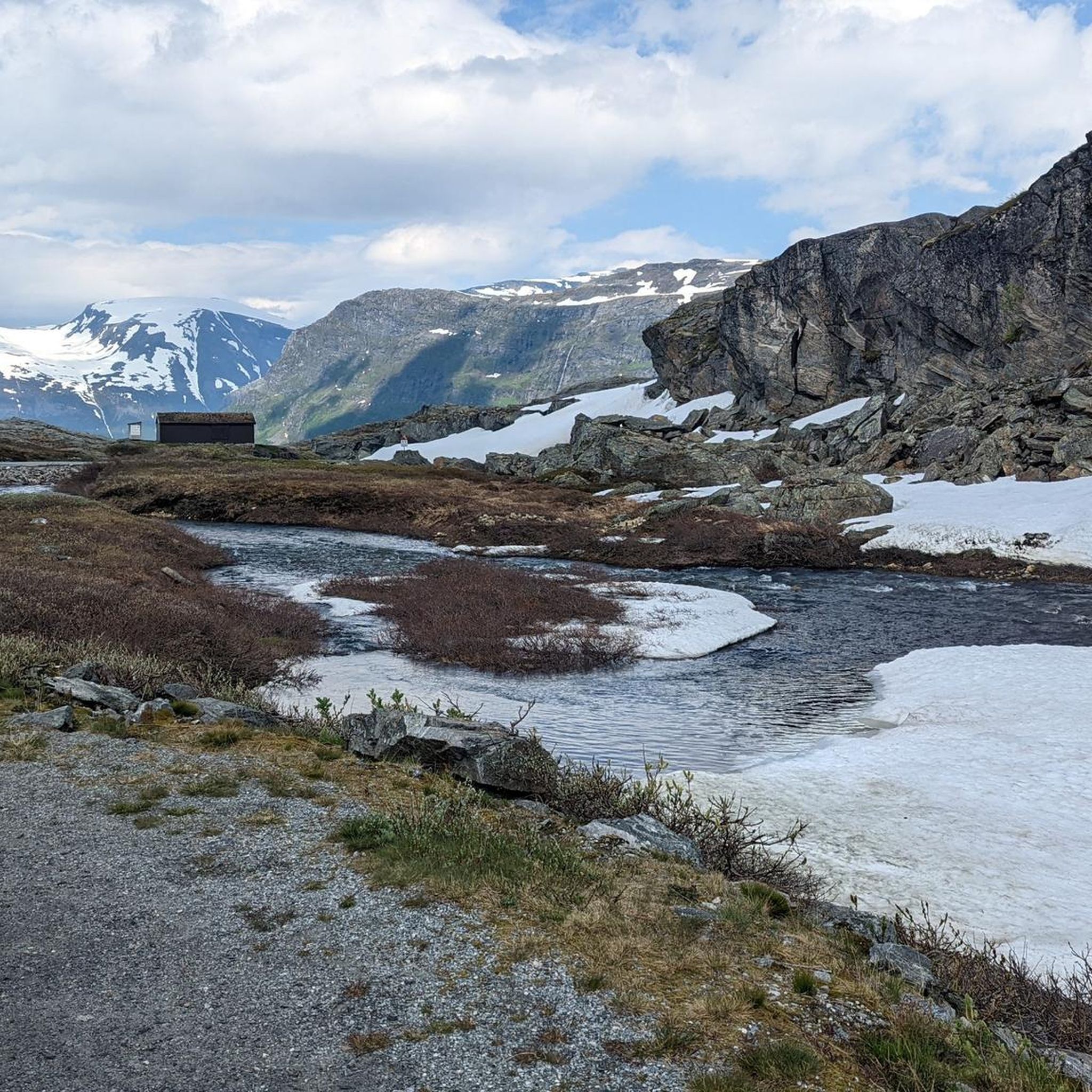
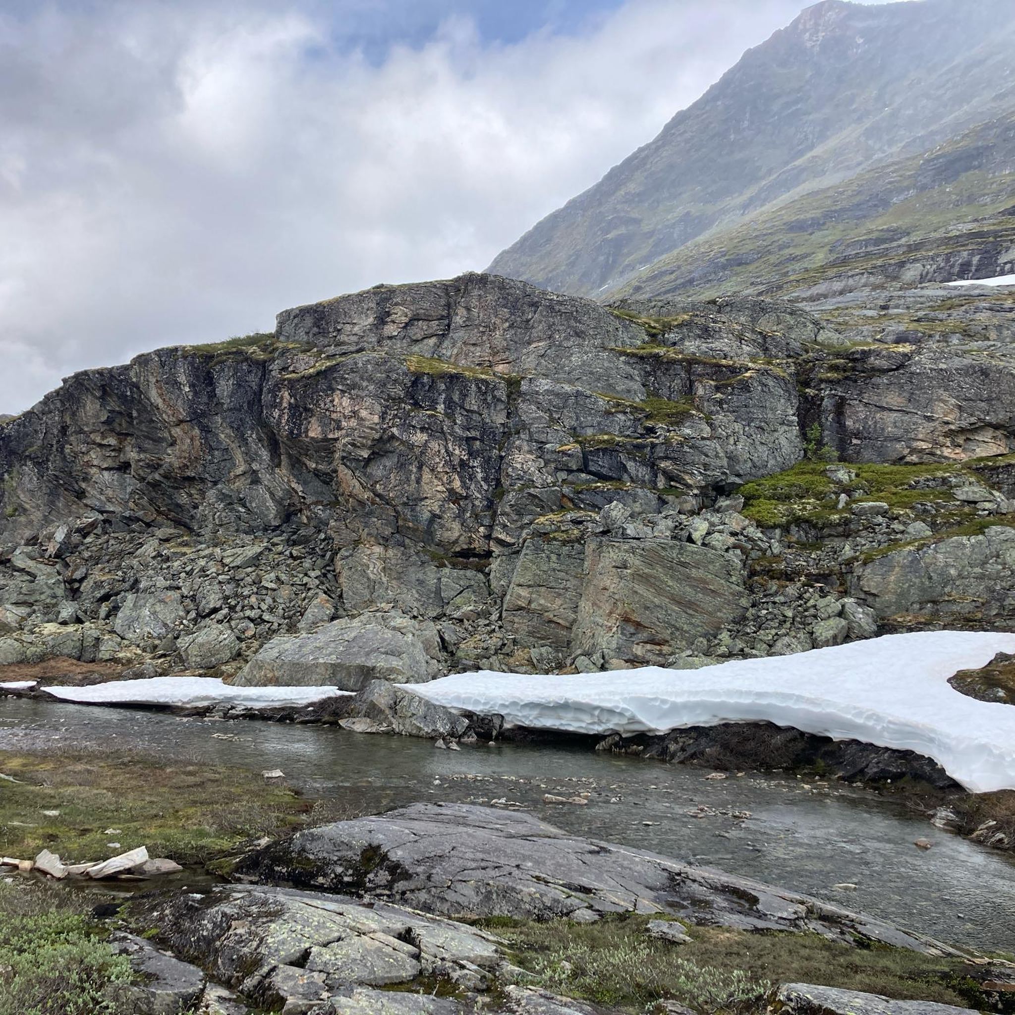
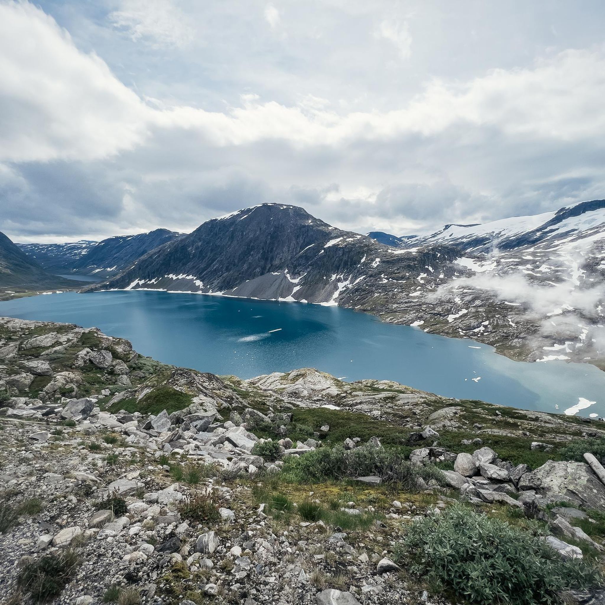
Touring cycling around Kolbeinsvatnet offers routes through Norway's Møre og Romsdal region, characterized by dramatic fjord landscapes and mountainous terrain. The area features high mountain plateaus, scenic valleys, and pristine lakes, providing varied elevations for cyclists. Routes often include views of the Geirangerfjord, a UNESCO World Heritage site, and other natural features like waterfalls. The region's diverse environment supports a range of cycling experiences.
Best touring cycling routes around Kolbeinsvatnet
- The most popular touring cycling route is View of Djupvatnet…
Last updated: July 10, 2026
4.8
(20)
191
riders
54.6km
04:08
1,370m
1,370m
Hard bike ride. Very good fitness required. Mostly paved surfaces. Suitable for all skill levels.
4.7
(18)
185
riders
40.4km
03:35
1,510m
1,510m
Hard bike ride. Very good fitness required. Mostly paved surfaces. Suitable for all skill levels.

Sign up for free
4.5
(6)
41
riders
9.95km
00:58
440m
440m
Moderate bike ride. Good fitness required. Mostly paved surfaces. Suitable for all skill levels.
11
riders
18.9km
01:34
620m
620m
Hard bike ride. Very good fitness required. Mostly paved surfaces. Suitable for all skill levels.
4.7
(17)
255
riders
39.0km
03:26
1,460m
1,460m
Hard bike ride. Very good fitness required. Mostly paved surfaces. Suitable for all skill levels.
Get access to more routes and recommendations from other explorers.
Sign up for free
Already have an account?
Our route recommendations are based on thousands of hikes, rides, and runs completed by other people on komoot.
Start today with a free account
Your next adventure awaits.
Login or Signup
Tips from the Community

The Fjordsenter is both a tourist information center and a museum, and offers a modern exhibition with lots of interesting information about the Geirangerfjord, its nature and the history of the place.
3
0

Great view of the fjord and the ship. The effort is worth it.
3
0

Facts about the Geirangerfjord The fjord is 15 km long, 1.5 km wide at its widest point, and 700 m deep at its deepest point. The area, which has been declared a UNESCO World Heritage Site, covers 498 km² and includes the fjord and the surrounding areas in the Stranda and Norddal counties.
1
0
Numerous waterfalls and free-flowing rivers, deciduous and coniferous woodlands and forests, glacial lakes, glaciers, rugged mountains and a range of other natural attributes combine towards making Geirangerfjord and Nærøyfjord among the most scenically outstanding landscapes in the world.
1
0

Great views of Geiranger, the Geirangelva River, and the fjord. The center has a café, restrooms, and a museum.
0
0
What a magnificent view
1
0

Very interesting
0
0

from sea level to just under 1.5k from Geiranger via the Trollstigen
0
0
Frequently Asked Questions
What kind of terrain can I expect on touring cycling routes around Kolbeinsvatnet?
The Kolbeinsvatnet area is characterized by dramatic fjord landscapes and mountainous terrain. You'll encounter varied elevations, high mountain plateaus, scenic valleys, and pristine lakes. Routes often feature breathtaking views of the Geirangerfjord, a UNESCO World Heritage site, and impressive waterfalls.
How many touring cycling routes are available in the Kolbeinsvatnet region?
There are over 7 touring cycling routes around Kolbeinsvatnet listed in this guide, catering to various skill levels. The komoot community has explored these routes over 900 times.
Are there any circular touring cycling routes in the area?
Yes, many routes around Kolbeinsvatnet are designed as loops, allowing you to start and finish in the same location. Examples include the View of Djupvatnet – Panoramic view of Geiranger loop from Geiranger and the View of Geiranger – Dalsnibba Mountain Road loop from Geiranger, both offering extensive scenic vistas.
What is the best time of year for touring cycling around Kolbeinsvatnet?
The best time for touring cycling in this mountainous region is typically during the warmer months, from late spring to early autumn, when roads are clear of snow and weather conditions are more stable. This period allows for full access to the high mountain roads and viewpoints.
Are there any family-friendly touring cycling options near Kolbeinsvatnet?
While many routes in the Kolbeinsvatnet area are rated as difficult due to significant elevation gains, there are some less technical paths and shared roads that might be suitable for families seeking a more moderate experience. For example, the Djupvatnet Frozen Lake – Dalsnibba Mountain Road loop from Djupvatnet is a moderate route, though still involves some climbing.
What are the typical difficulty levels for touring cycling routes in Kolbeinsvatnet?
The majority of touring cycling routes around Kolbeinsvatnet are rated as difficult, featuring substantial elevation changes and challenging terrain. There are also some moderate options available, such as the Djupvatnet Frozen Lake – Dalsnibba Mountain Road loop from Djupvatnet, which offers a shorter distance and less intense climbing.
What do other touring cyclists say about the routes in Kolbeinsvatnet?
The touring cycling routes around Kolbeinsvatnet are highly rated by the komoot community, with an average score of 4.6 stars from over 80 reviews. Cyclists often praise the dramatic fjord views, the challenging ascents, and the pristine natural beauty of the region.
Are there opportunities for wild swimming or other activities after cycling?
Yes, the region is home to pristine lakes, including Kolbeinsvatnet itself, and numerous waterfalls. These offer refreshing stops and opportunities for wild swimming or simply enjoying the natural beauty after a ride, especially during warmer weather.
Can I find scenic viewpoints along the touring cycling routes?
Absolutely. The routes are renowned for their spectacular viewpoints. For instance, the Korsmyra Viewpoint – Eidsdalvatnet loop from Geiranger specifically highlights a viewpoint, and routes like the View of Djupvatnet – Panoramic view of Geiranger loop from Geiranger offer panoramic views of the Geirangerfjord and surrounding mountains.
Are there any national cycle routes in Norway that connect to the Kolbeinsvatnet area?
While Kolbeinsvatnet itself is not explicitly on a national cycle route, Norway boasts an extensive network of national cycle routes designed for long-distance touring. These routes traverse diverse landscapes, including fjords and mountains, and often utilize low-traffic roads. You can find more information about these routes on the Visit Norway website, which might inspire longer tours connecting to this region.
What are the typical distances of touring cycling routes around Kolbeinsvatnet?
The routes vary in length, offering options for different endurance levels. You can find shorter loops, such as the Djupvatnet Frozen Lake – Dalsnibba Mountain Road loop from Djupvatnet at around 9.9 km, to longer, more challenging rides like the View of Djupvatnet – Panoramic view of Geiranger loop from Geiranger, which covers approximately 54.6 km.
Is it possible to combine touring cycling with other outdoor activities in the Kolbeinsvatnet region?
Yes, the Møre og Romsdal region offers a wealth of outdoor activities. Beyond touring cycling, the mountainous environment and pristine lakes provide opportunities for hiking, kayaking in the fjords, or simply enjoying the dramatic natural scenery. The area's diverse landscape makes it ideal for multi-sport adventures.
Most popular routes around Kolbeinsvatnet

Get inspired with the komoot mobile app


Explore more
Browse the best Cycling routes in other regions.
