The best road cycling routes around Kolbeinsvatnet
5.0
(10)
294
riders
4
rides
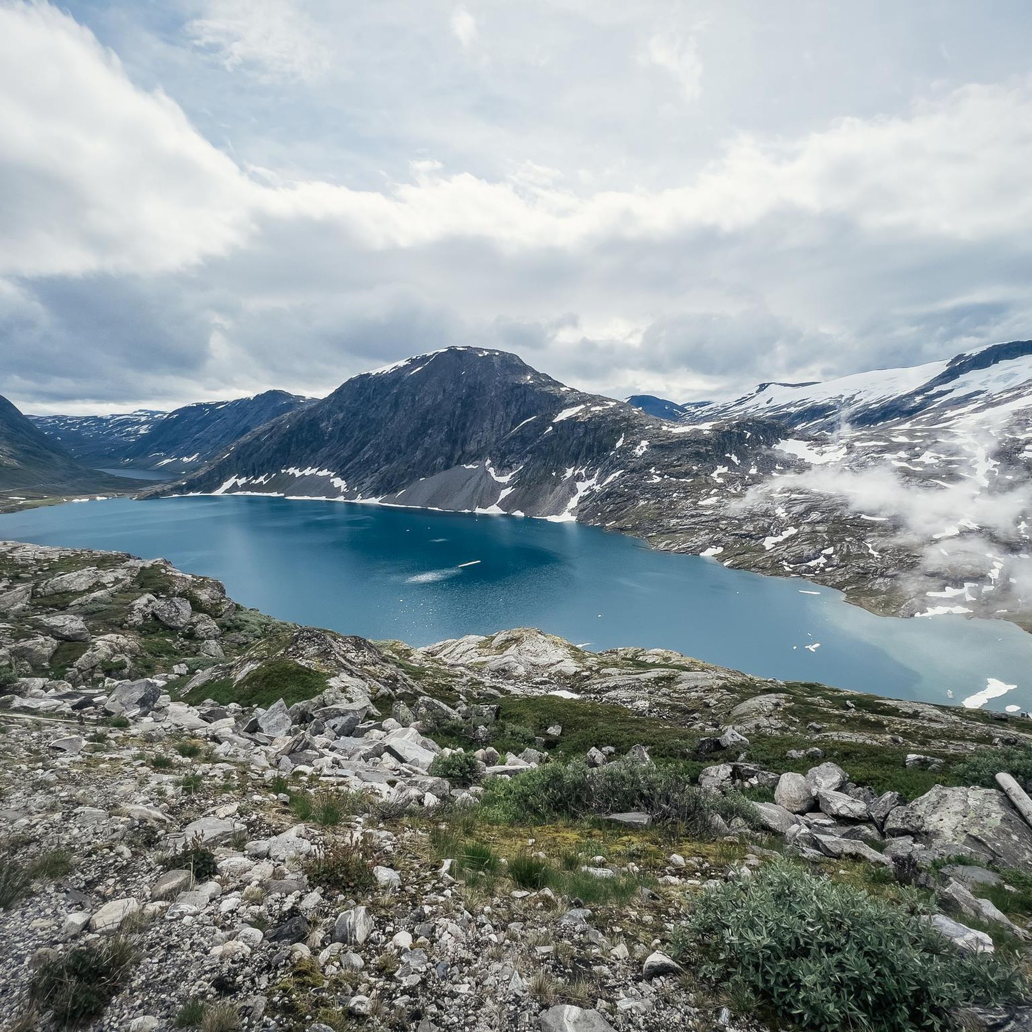
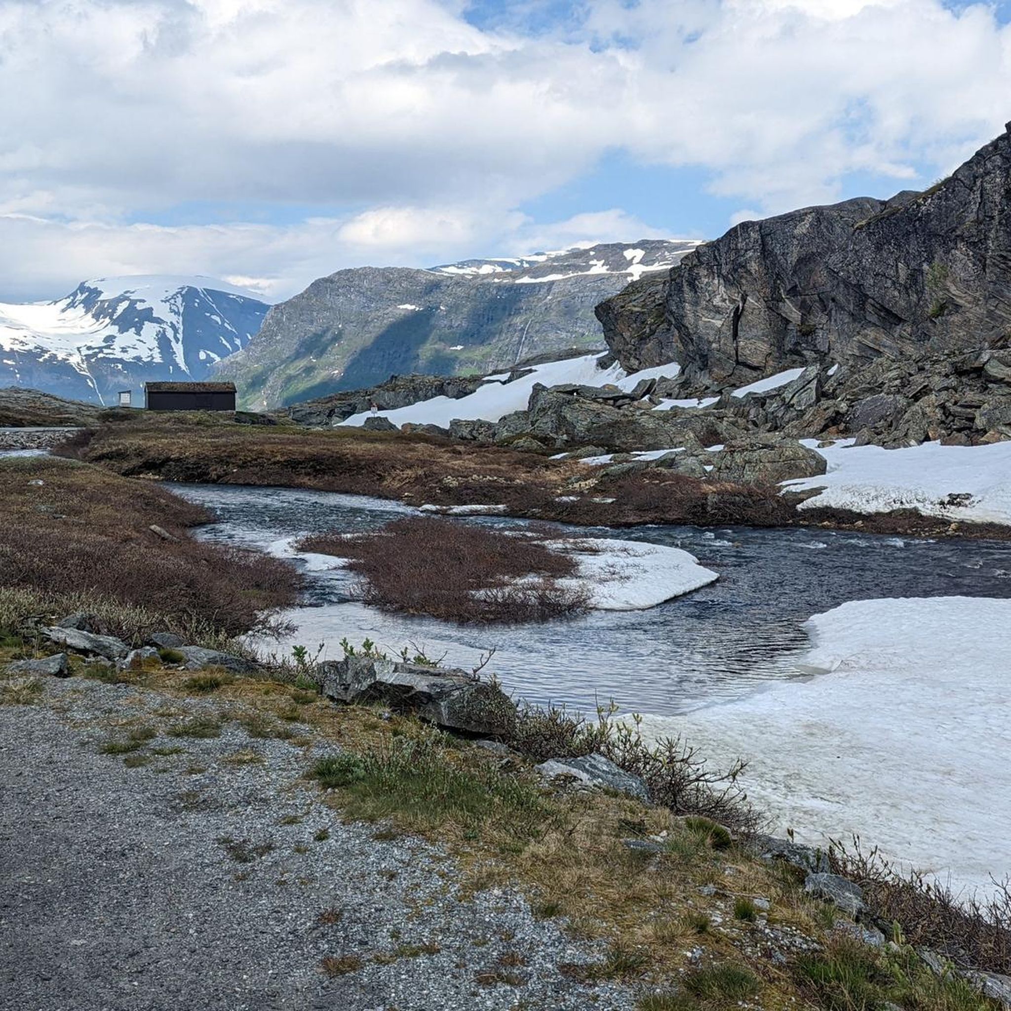
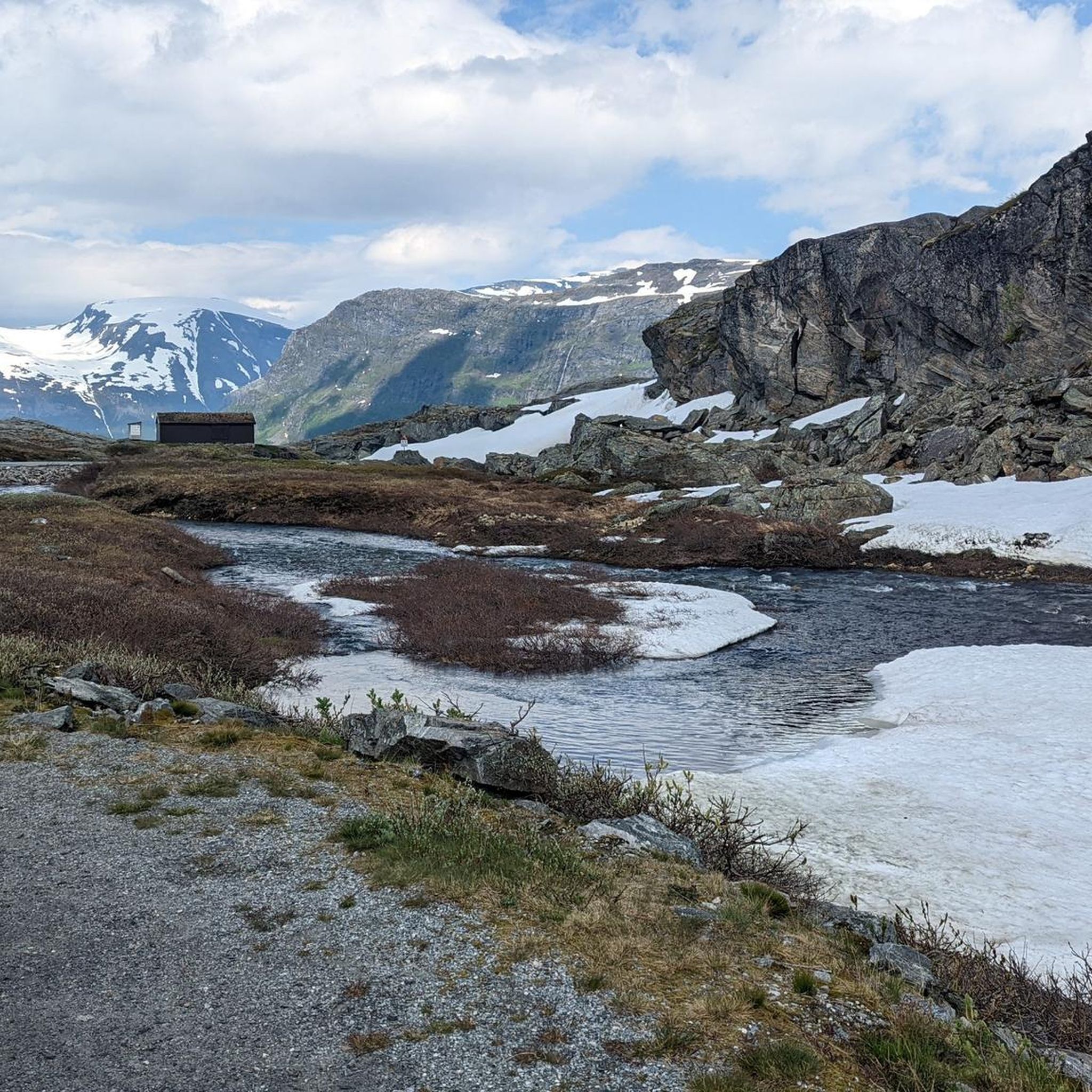
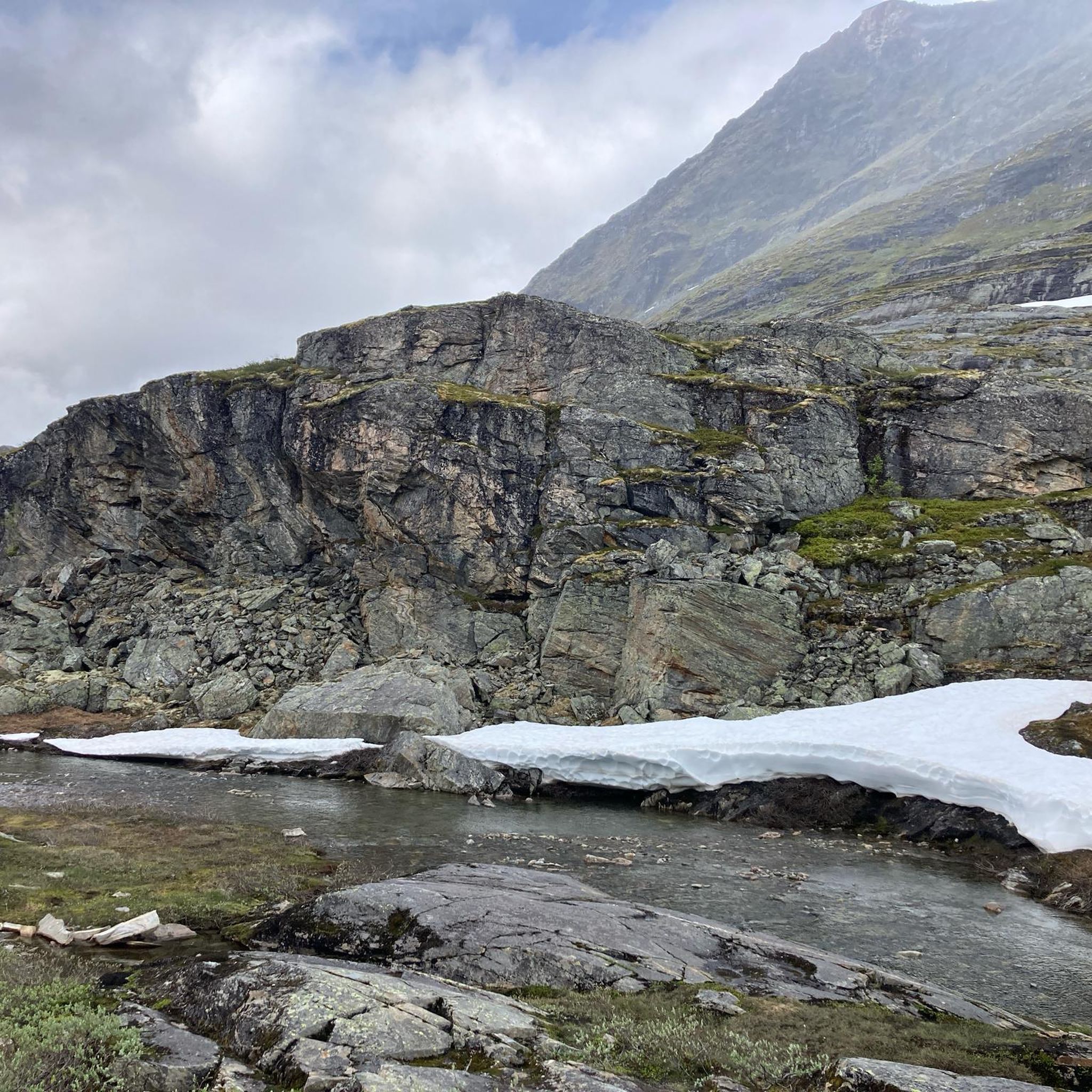
Road cycling around Kolbeinsvatnet, located in Norway's Møre og Romsdal region, features a landscape dominated by dramatic fjord landscapes, towering mountains, and pristine lakes. The terrain includes high mountain plateaus and valleys, presenting significant elevation changes for cyclists. While some service roads offer less technical cycling, many routes involve mountain roads with varied conditions. The region's proximity to the Geirangerfjord UNESCO World Heritage site ensures a setting of impressive natural features.
Best road cycling routes around Kolbeinsvatnet
- The most popular…
Last updated: July 10, 2026
5.0
(9)
176
riders
57.9km
03:45
1,720m
1,720m
Hard road ride. Very good fitness required. Mostly well-paved surfaces and easy to ride.
6
riders
24.3km
01:25
570m
570m
Moderate road ride. Good fitness required. Mostly well-paved surfaces and easy to ride.

Sign up for free
9
riders
9.65km
00:47
430m
430m
Moderate road ride. Good fitness required. Mostly well-paved surfaces and easy to ride.
5.0
(1)
62
riders
20.6km
01:30
740m
750m
Moderate road ride. Good fitness required. Mostly well-paved surfaces and easy to ride.
41
riders
28.5km
02:03
960m
970m
Hard road ride. Very good fitness required. Some segments of this route may be unpaved and difficult to ride.
Our route recommendations are based on thousands of hikes, rides, and runs completed by other people on komoot.
Start today with a free account
Your next adventure awaits.
Login or Signup
Tips from the Community

Partly busy, quite a few souvenir shops 🤙
0
1

The Fjordsenter is both a tourist information center and a museum, and offers a modern exhibition with lots of interesting information about the Geirangerfjord, its nature and the history of the place.
3
0
Wonderful view of the breathtaking landscape!
3
0

Facts about the Geirangerfjord The fjord is 15 km long, 1.5 km wide at its widest point, and 700 m deep at its deepest point. The area, which has been declared a UNESCO World Heritage Site, covers 498 km² and includes the fjord and the surrounding areas in the Stranda and Norddal counties.
1
0
Numerous waterfalls and free-flowing rivers, deciduous and coniferous woodlands and forests, glacial lakes, glaciers, rugged mountains and a range of other natural attributes combine towards making Geirangerfjord and Nærøyfjord among the most scenically outstanding landscapes in the world.
1
0

Great views of Geiranger, the Geirangelva River, and the fjord. The center has a café, restrooms, and a museum.
0
0

Challenging route. Not suitable for children or those with limited fitness.
0
0

Geiranger Camping, a beautifully situated campsite in Geiranger.
0
1
Frequently Asked Questions
What kind of terrain can I expect when road cycling around Kolbeinsvatnet?
Road cycling around Kolbeinsvatnet features a dramatic landscape of fjord views, towering mountains, and high mountain plateaus. You should be prepared for significant elevation changes, as many routes involve challenging climbs on mountain roads. While some roads are asphalted, they can be narrow, offering a rewarding but demanding experience.
Are there road cycling routes suitable for different skill levels in the Kolbeinsvatnet area?
Yes, the Kolbeinsvatnet area offers road cycling routes for various abilities. While there are no easy routes, you'll find several moderate options and at least one difficult trail. For example, the Stavbrekkleiva loop from Langvatn is a moderate 24.3 km ride with notable elevation gain, while the Stavbrekkleiva – Storskreda loop from Langvatn is a more difficult 45.9 km route with substantial climbs.
What are some notable natural features or viewpoints I can expect to see on a road cycling tour?
The region is renowned for its stunning natural beauty. You can expect breathtaking fjord landscapes, especially near the Geirangerfjord UNESCO World Heritage site. Routes like the Klarafossen – Ørnesvingen Viewpoint loop from Geiranger offer dramatic fjord views and opportunities to see impressive waterfalls. High mountain plateaus and pristine lakes like Djupvatnet also provide panoramic vistas.
What is the best time of year for road biking around Kolbeinsvatnet?
The best time for road biking around Kolbeinsvatnet is typically during the warmer months when mountain roads are clear of snow and ice. Given the region's high mountain plateaus, conditions can vary, so it's advisable to check local weather and road status before planning your trip, especially outside of peak summer.
Are there any circular road cycling routes available?
Yes, several circular road cycling routes are available. For instance, the Stavbrekkleiva loop from Langvatn and the Stavbrekkleiva – Storskreda loop from Langvatn are popular loop options starting from Langvatn. Another scenic loop is the Klarafossen – Ørnesvingen Viewpoint loop from Geiranger, which takes you through dramatic fjord landscapes.
What do other road cyclists say about their experience in Kolbeinsvatnet?
The road cycling routes around Kolbeinsvatnet are highly rated by the komoot community, with an average score of 5.0 stars from 5 reviews. Cyclists often praise the continuous awe-inspiring stretches of road, the dramatic fjord views from mountain passes, and the challenging yet rewarding climbs through the mountainous terrain.
Is it possible to access road cycling routes around Kolbeinsvatnet using public transport?
While specific public transport options directly to all starting points for road cycling routes around Kolbeinsvatnet may be limited, some routes, like those starting from Geiranger, might be more accessible via regional bus services or ferries that connect to larger towns. It's recommended to research local transport schedules for the specific starting point of your chosen route.
Are there any specific challenges for road cyclists in this region?
Yes, road cyclists should be prepared for significant elevation changes and mountain roads. Some main roads, such as parts of the E39, may present challenges due to heavy traffic and impassable tunnels, potentially requiring alternative transport for certain sections. Road conditions can also vary, with some asphalted roads being narrow.
Are there any cafes or places to stop for refreshments along the road cycling routes?
While the region is primarily known for its natural landscapes, towns like Geiranger, which serves as a starting point for some routes, offer amenities including cafes and restaurants. For routes in more remote mountain areas, it's advisable to carry sufficient water and snacks, as refreshment stops might be infrequent.
What is the longest road cycling route available in the Kolbeinsvatnet area?
The longest road cycling route currently available is the Stavbrekkleiva – Storskreda loop from Langvatn, which covers a distance of 45.9 km (28.5 miles) and is classified as difficult due to its substantial climbs.
Can I find routes that offer views of the Geirangerfjord?
Absolutely. The Kolbeinsvatnet area is very close to the Geirangerfjord, a UNESCO World Heritage site. Routes like the Klarafossen – Ørnesvingen Viewpoint loop from Geiranger are specifically designed to lead you through dramatic fjord landscapes and offer spectacular views of the Geirangerfjord and its surrounding mountains.
Most popular routes around Kolbeinsvatnet

Get inspired with the komoot mobile app


Explore more
Browse the best Road cycling routes in other regions.
