The best road cycling routes around Djupvatnet
5.0
(18)
511
riders
4
rides
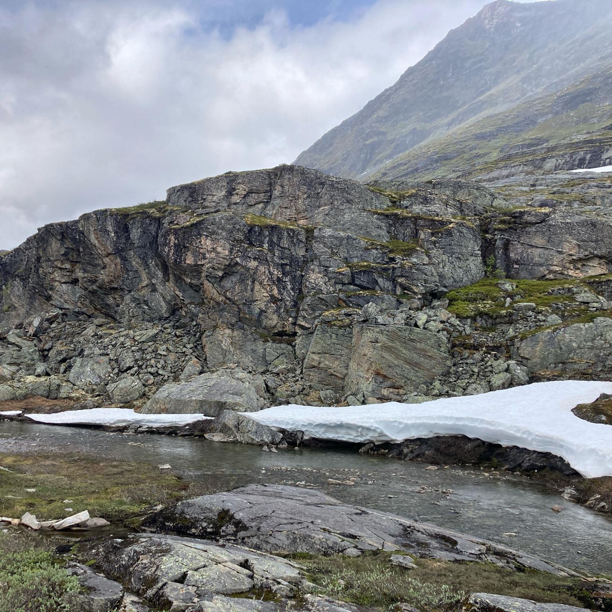
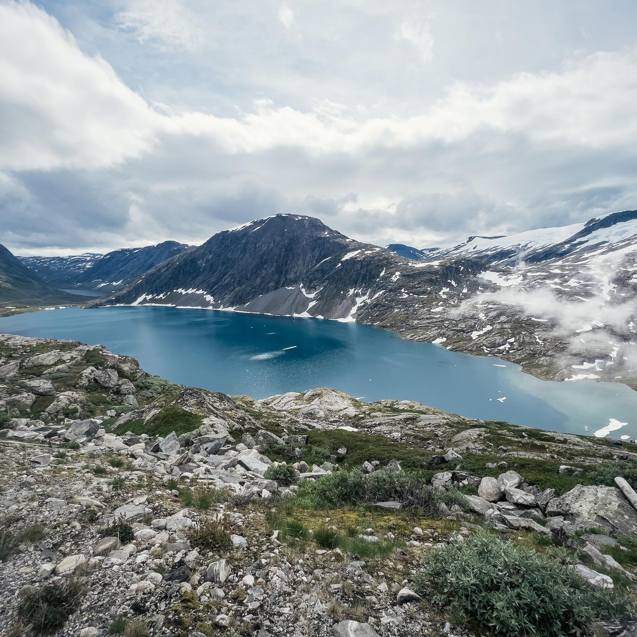
Road cycling routes around Djupvatnet are characterized by a dramatic landscape of glacial lakes, towering mountains, and significant elevation changes. Situated at 1,016 meters (3,333 feet) above sea level, the region offers diverse road cycling experiences with both well-paved surfaces and challenging segments. Cyclists can expect low-traffic roads that wind through pristine natural settings, often with snow visible at higher elevations even in summer. The area is part of the Norwegian Scenic Route Geiranger–Trollstigen, providing continuous scenic views.
Best road…
Last updated: July 10, 2026
9
riders
9.65km
00:47
430m
430m
Moderate road ride. Good fitness required. Mostly well-paved surfaces and easy to ride.
5.0
(9)
176
riders
57.9km
03:45
1,720m
1,720m
Hard road ride. Very good fitness required. Mostly well-paved surfaces and easy to ride.

Sign up for free
6
riders
24.3km
01:25
570m
570m
Moderate road ride. Good fitness required. Mostly well-paved surfaces and easy to ride.
5.0
(1)
62
riders
20.6km
01:30
740m
750m
Moderate road ride. Good fitness required. Mostly well-paved surfaces and easy to ride.
41
riders
28.5km
02:03
960m
970m
Hard road ride. Very good fitness required. Some segments of this route may be unpaved and difficult to ride.
Our route recommendations are based on thousands of hikes, rides, and runs completed by other people on komoot.
Start today with a free account
Your next adventure awaits.
Login or Signup
Tips from the Community

Partly busy, quite a few souvenir shops 🤙
0
1

The Fjordsenter is both a tourist information center and a museum, and offers a modern exhibition with lots of interesting information about the Geirangerfjord, its nature and the history of the place.
3
0
Wonderful view of the breathtaking landscape!
3
0

Facts about the Geirangerfjord The fjord is 15 km long, 1.5 km wide at its widest point, and 700 m deep at its deepest point. The area, which has been declared a UNESCO World Heritage Site, covers 498 km² and includes the fjord and the surrounding areas in the Stranda and Norddal counties.
1
0
Numerous waterfalls and free-flowing rivers, deciduous and coniferous woodlands and forests, glacial lakes, glaciers, rugged mountains and a range of other natural attributes combine towards making Geirangerfjord and Nærøyfjord among the most scenically outstanding landscapes in the world.
1
0

Great views of Geiranger, the Geirangelva River, and the fjord. The center has a café, restrooms, and a museum.
0
0

Challenging route. Not suitable for children or those with limited fitness.
0
0

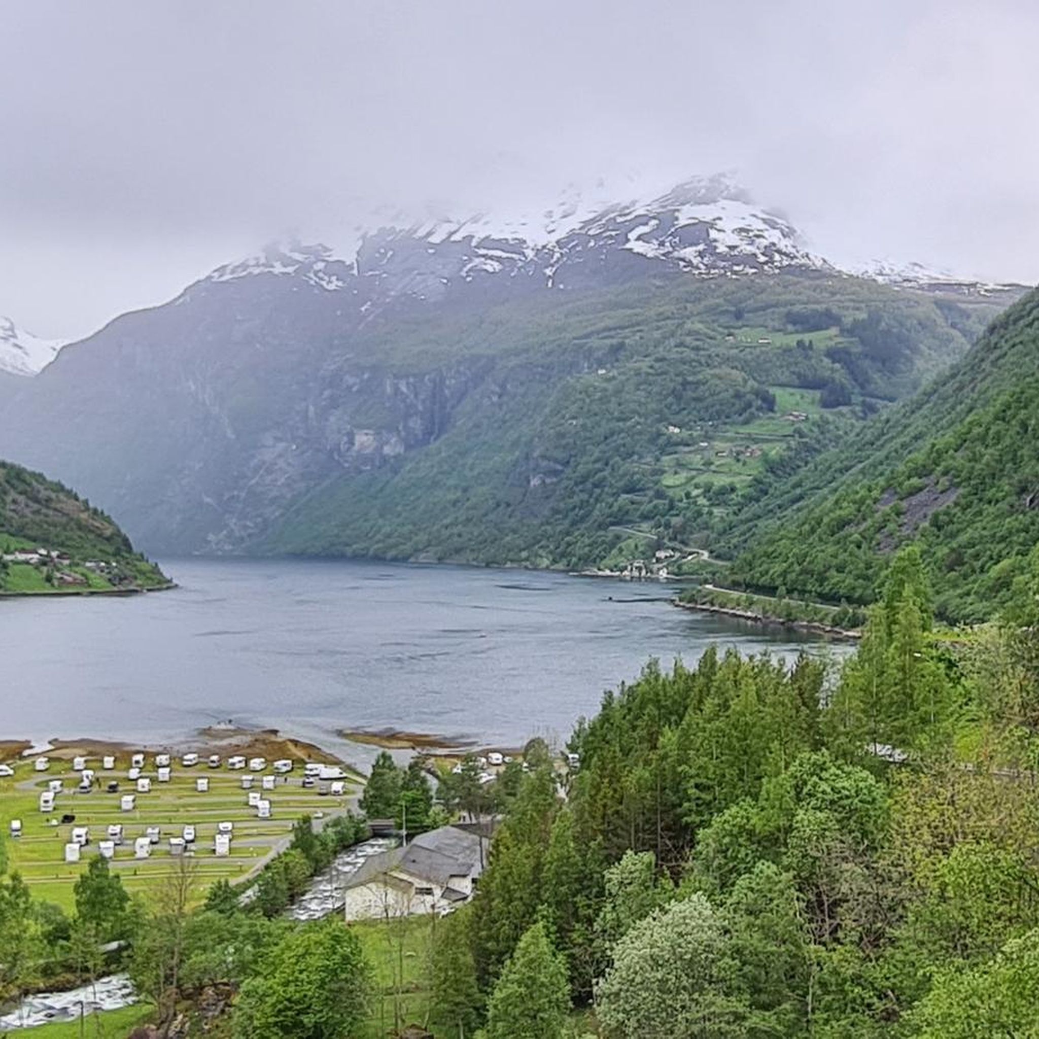
Geiranger Camping, a beautifully situated campsite in Geiranger.
0
1
Frequently Asked Questions
What kind of road cycling experience can I expect around Djupvatnet?
Road cycling around Djupvatnet offers a dramatic landscape of glacial lakes, towering mountains, and significant elevation changes. Situated at 1,016 meters above sea level, the region features diverse routes with both well-paved surfaces and challenging segments. You'll find low-traffic roads winding through pristine natural settings, often with snow visible at higher elevations even in summer. The area is part of the Norwegian Scenic Route Geiranger–Trollstigen, ensuring continuous scenic views.
What are the typical difficulty levels for road cycling routes in the Djupvatnet area?
The road cycling routes around Djupvatnet cater to various fitness levels, ranging from moderate to difficult. For instance, the Roadbike loop from Djupvatnet is a moderate ride with over 400 meters of elevation gain. For a more challenging experience, consider the Stavbrekkleiva – Storskreda loop from Langvatn, which features over 1,200 meters of climbing over nearly 46 kilometers.
Are there any circular road cycling routes around Djupvatnet?
Yes, several routes around Djupvatnet are designed as loops, allowing you to start and finish at the same point. A popular moderate option is the Roadbike loop from Djupvatnet, which covers about 9.7 km. For a longer, more challenging loop, the Stavbrekkleiva – Storskreda loop from Langvatn offers a difficult 45.9 km ride.
What natural features and landmarks can I see while road cycling near Djupvatnet?
The Djupvatnet area is rich in natural beauty. You'll encounter the stunning deep blue waters of Djupvatnet itself, surrounded by snow-capped peaks and lush greenery. The region is close to the UNESCO World Heritage site Geirangerfjord, known for its steep cliffs and waterfalls. Cyclists can also experience the Ørnevegen (Eagle Road) with its hairpin turns and panoramic views at the Ørnesvingen Viewpoint, which is part of routes like the Klarafossen – Ørnesvingen Viewpoint loop from Geiranger.
Are there any specific viewpoints along the road cycling routes in Djupvatnet?
Absolutely. The area is renowned for its spectacular viewpoints. The road to Mount Dalsnibba (Geiranger Skywalk), located just northwest of Djupvatnet, offers panoramic views of the fjord and surrounding mountains. The Ørnesvingen Viewpoint, accessible via routes such as the Ørnesvingen Viewpoint loop from Geiranger, provides iconic vistas over the Geirangerfjord. Other notable spots include Breiddalen Valley Lookout and Flydalsjuvet.
When is the best time of year for road cycling around Djupvatnet?
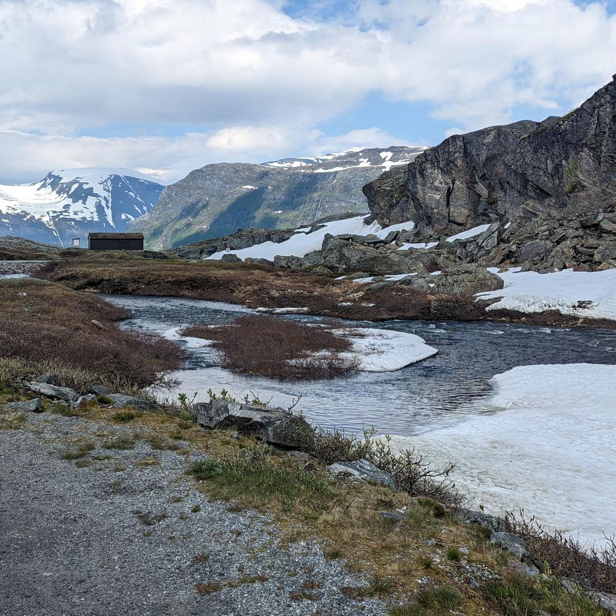
The best time for road cycling around Djupvatnet is typically during the warmer months, from late spring to early autumn. Even in mid-summer, you might find snow lining the roadsides at higher elevations, adding to the unique scenery. Always check local weather forecasts and road conditions before planning your ride, as mountain passes can be affected by snow and ice outside of peak season.
What do other road cyclists say about the routes in Djupvatnet?
The road cycling routes in Djupvatnet are highly rated by the komoot community, with an impressive average score of 5.0 stars from over 12 reviews. Cyclists often praise the dramatic landscapes, the challenging yet rewarding climbs, and the low-traffic roads that allow for an immersive experience in Norway's pristine nature.
Are there any famous cycling events or climbs in the Djupvatnet region?
Yes, the Djupvatnet area is home to the annual Dalsnibba Cycle Race. This challenging event starts at sea level on the Geiranger Fjord and ascends 1,500 meters to Mount Dalsnibba, which is immediately northwest of Djupvatnet. The climb features steep gradients of 9-12% over its last 5 kilometers, making it a demanding and iconic ride for experienced cyclists.
What is the elevation of Djupvatnet and how does it impact cycling?
Djupvatnet is situated at an elevation of 1,016 meters (3,333 feet) above sea level. This high altitude means that road cycling routes in the area often involve significant elevation gains and descents, providing challenging climbs and exhilarating downhills. Cyclists should be prepared for varying temperatures and potentially strong winds, especially at higher points.
Can I find waterfalls along the road cycling routes near Djupvatnet?
Yes, the landscape around Djupvatnet and the wider Geiranger region is dotted with numerous waterfalls. You may encounter cascades such as Holebroa Waterfall, Forfriskendefossen, and Kvanndalsfossen, adding to the visual grandeur of your ride. The Klarafossen – Ørnesvingen Viewpoint loop from Geiranger, for example, passes by Klarafossen.
How many road cycling routes are available to explore around Djupvatnet?
There are several road cycling routes available around Djupvatnet, offering diverse experiences. Our guide highlights five top routes, including options like the moderate Stavbrekkleiva loop from Langvatn and the more difficult Stavbrekkleiva – Storskreda loop from Langvatn.

Get inspired with the komoot mobile app


Explore more
Browse the best Road cycling routes in other regions.
