The best walks and hikes around Djupvatnet
4.5
(1383)
6,866
hikers
9
hikes
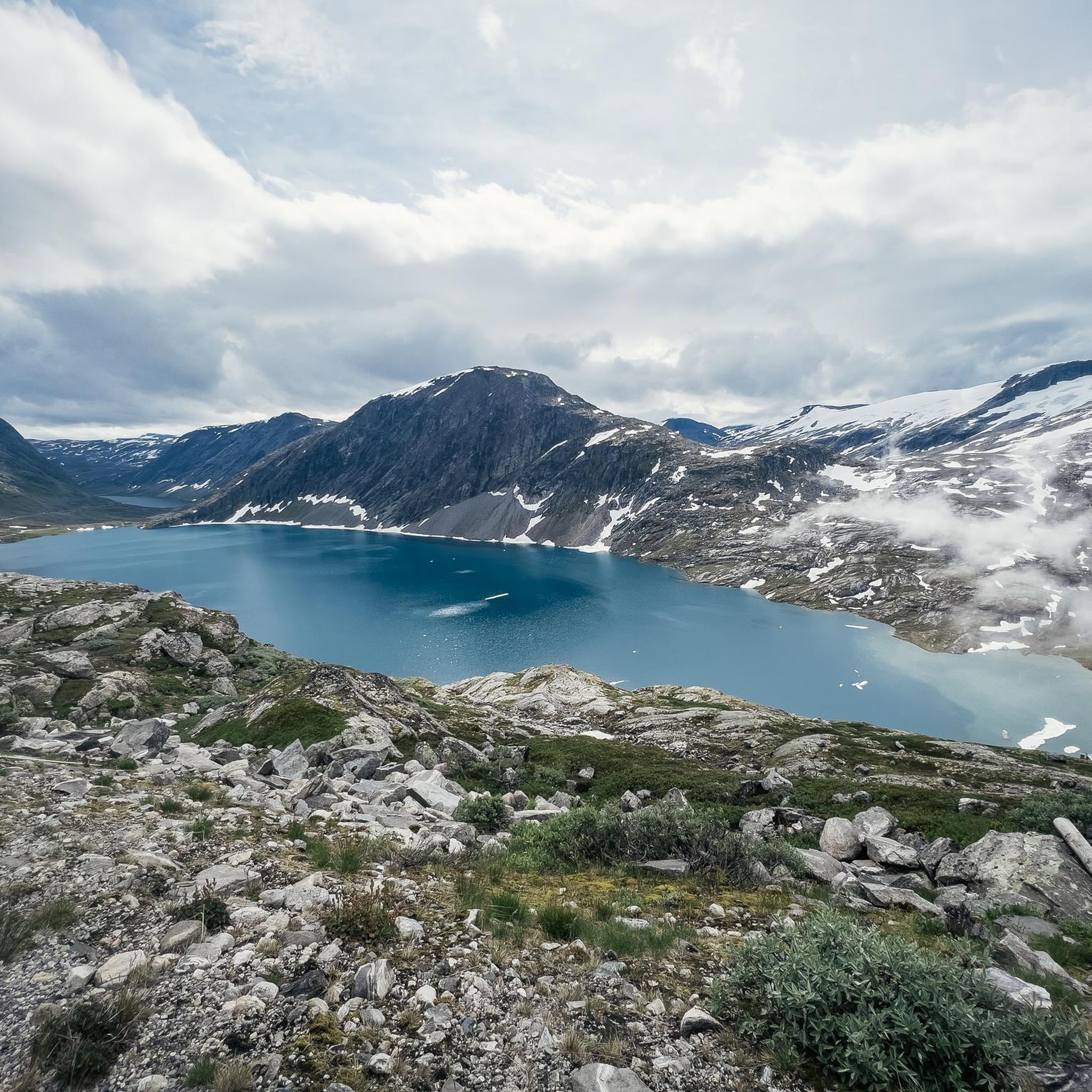
Hiking around Djupvatnet features a high-altitude glacial lake situated at 1,016 meters (3,333 feet) above sea level, surrounded by majestic mountains and a rugged landscape. The region is characterized by deep blue, crystal-clear waters reflecting the dramatic peaks and serving as part of the Otta river system's headwaters. This environment provides diverse terrain for outdoor activities.
Best hiking trails around Djupvatnet
- The most popular hiking route is Djupvatnet – Dalsnibba loop from Djupvatnet, a 5.1 miles (8.2 km) trail that takes 2 hours 40 minutes to complete. This route offers an experience of the high mountain terrain.
- Another top favourite among local hikers is Geirangerfossen Waterfall – Storfossen Waterfall loop from Geiranger, a moderate 3.4 miles (5.5 km) path. This trail leads to captivating waterfalls and offers views of the Geirangerfjord.
- Local hikers also love the Trail to the Waterfall – View of Geirangerfjord loop from Geiranger, a 1.3 miles (2.1 km) trail leading through varied scenery, often completed in about 38 minutes.
- Hiking around Djupvatnet is defined by high-altitude lake views, majestic mountains, and routes leading to waterfalls and fjord panoramas. The network offers options for different ability levels, from easy walks to more challenging moderate hikes.
- The routes in Djupvatnet are highly rated by the komoot community with an average score of 4.6 stars from over 1,300 reviews. More than 6,000 hikers have used komoot to explore Djupvatnet's varied terrain.
Last updated: July 1, 2026
5.0
(3)
44
hikers
8.20km
02:40
370m
370m
Moderate hike. Good fitness required. Easily-accessible paths. Suitable for all skill levels.
3.0
(1)
3
hikers
1.39km
00:38
90m
90m
Moderate hike. Great for any fitness level. Mostly accessible paths. Sure-footedness required.

Sign up for free
4.7
(168)
733
hikers
5.55km
01:57
310m
300m
Moderate hike. Good fitness required. Easily-accessible paths. Suitable for all skill levels.
6
hikers
Easy hike. Great for any fitness level. Easily-accessible paths. Suitable for all skill levels.
4.7
(28)
214
hikers
3.46km
01:17
220m
220m
Easy hike. Great for any fitness level. Easily-accessible paths. Suitable for all skill levels.
Get access to more routes and recommendations from other explorers.
Sign up for free
Already have an account?
Our route recommendations are based on thousands of hikes, rides, and runs completed by other people on komoot.
Start today with a free account
Your next adventure awaits.
Login or Signup
Tips from the Community

Here you can walk confidently along the waterfall.
0
0

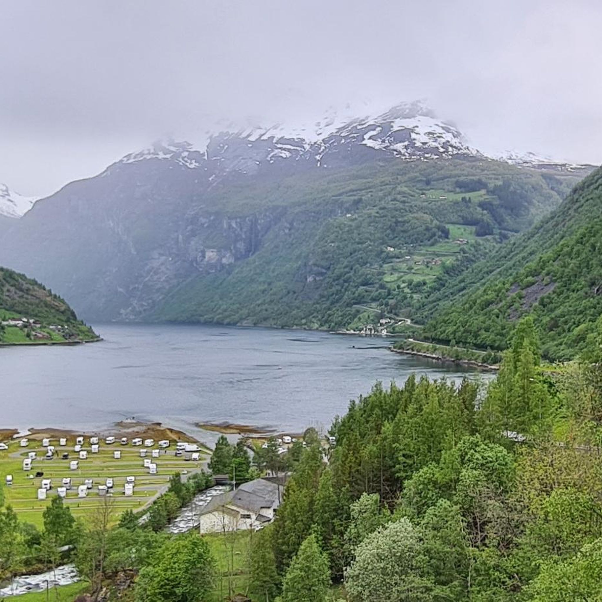
This viewpoint overlooks the expansive valley floor, where the river winds through the lush greenery characteristic of the area south of Geiranger. It is a scenic resting point for admiring the surrounding mountain slopes and the rugged scale of the landscape.
0
0

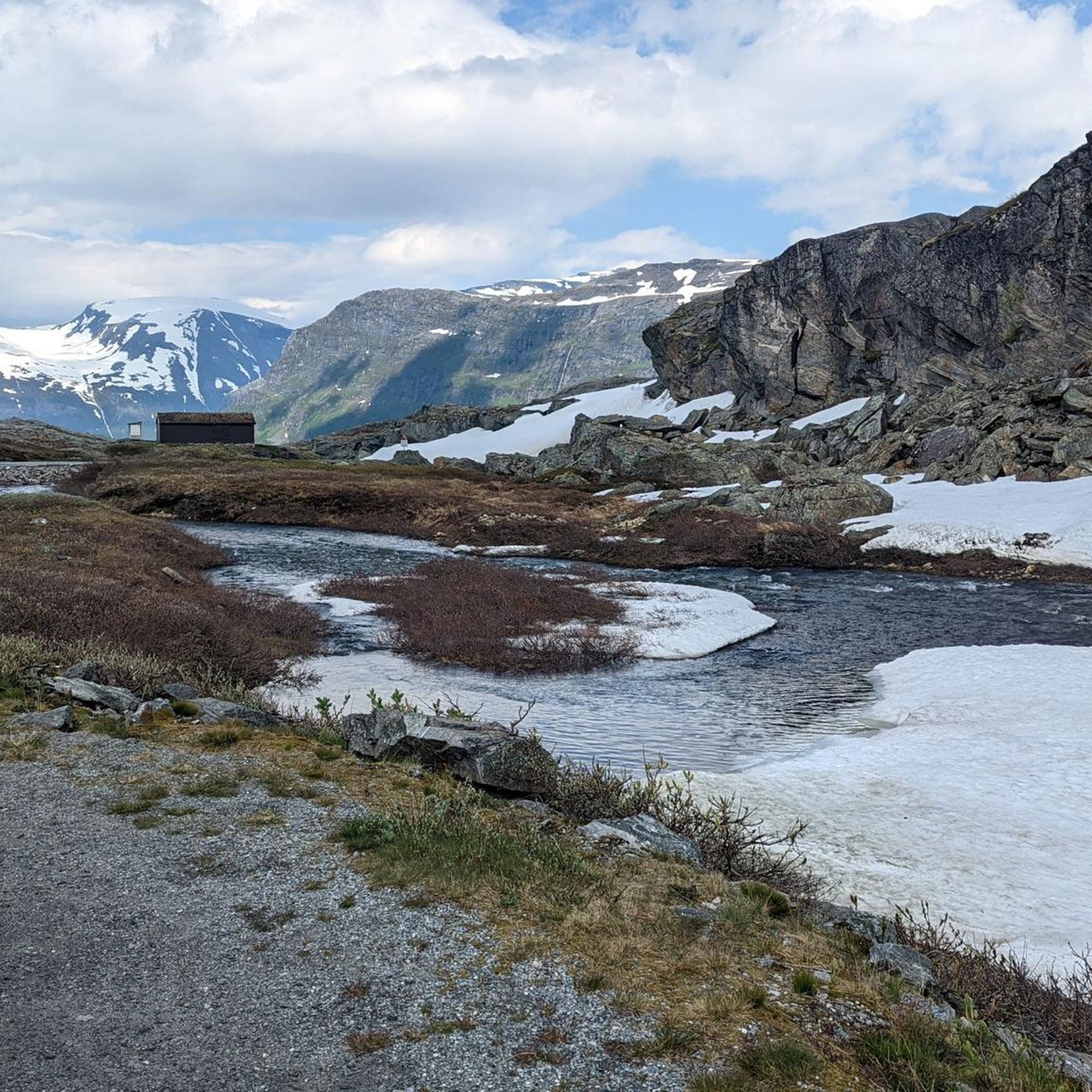
The lake lies at an altitude of approximately 1000 meters at the foot of Dalsnibba. The mountain pass road to Geirangerfjord runs directly past it. Even in summer, snow often lingers here. In winter, the lake is barely visible, as it, like the rest of the landscape, is hidden under meters of snow.
3
0
The Fjordsenter is both a tourist information center and a museum, and offers a modern exhibition with lots of interesting information about the Geirangerfjord, its nature and the history of the place.
3
0
Wonderful view of the breathtaking landscape!
3
0
The waterfall and rapids in the heart of Geiranger are truly impressive and well worth a visit. A meticulously constructed path with a non-slip metal grating allows you to get very close to the roaring water. The highlight is the walkway that extends directly over the large waterfall. Note: Due to the many steps, the path is definitely not wheelchair accessible. Furthermore, the grating poses a risk of injury to dogs' paws; it's best to keep your four-legged friend away from this path.
3
0
The view of the Geirangerfjord is simply world-class!
3
0
Frequently Asked Questions
How many hiking trails are available around Djupvatnet?
There are 8 hiking trails around Djupvatnet listed on komoot, offering a range of experiences from easy walks to moderate hikes. This includes 2 easy routes and 6 moderate routes, catering to various fitness levels.
What are the typical difficulty levels for hikes in the Djupvatnet area?
The trails around Djupvatnet range from easy to moderate. Easy trails are generally up to 2 hours long with up to 300 meters of elevation gain, suitable for most fitness levels. Moderate hikes can take up to 5 hours and involve up to 900 meters of elevation gain, requiring good fitness and sure-footedness.
Are there any circular hiking routes near Djupvatnet?
Yes, there are several circular routes. A notable one is the Djupvatnet – Dalsnibba loop from Djupvatnet, which is 8.2 km long and takes about 2 hours and 40 minutes to complete, offering high mountain terrain views.
What kind of natural features and viewpoints can I expect to see while hiking around Djupvatnet?
Hikers can expect stunning natural features including the deep blue, crystal-clear waters of Djupvatnet itself, reflecting majestic mountains. Key viewpoints include Dalsnibba Utsiktspunkt and the Geiranger Skywalk, offering panoramic views of sprawling valleys and the iconic Geirangerfjord. Many trails also lead to captivating waterfalls.
Are there any trails that feature waterfalls or fjord views?
Absolutely. Trails originating from the nearby village of Geiranger lead to impressive waterfalls and offer views of the UNESCO World Heritage-listed Geirangerfjord. For example, the Geirangerfossen Waterfall – Storfossen Waterfall loop from Geiranger is a moderate 5.5 km path that showcases these features.
What is the best time of year to go hiking in Djupvatnet?
The best time to visit for hiking is typically during the warmer months when the trails are clear of snow and ice. Given its high-altitude location, weather conditions can change rapidly, so checking forecasts and being prepared for varying conditions is crucial. Visiting early in the morning can also offer fewer crowds and optimal light for photography.
Are there family-friendly hiking options around Djupvatnet?
Yes, the area offers easy walks suitable for all fitness levels and families. These trails typically involve shorter distances and less elevation gain, allowing everyone to enjoy the stunning scenery. An example is the Trail to the Waterfall – View of Geirangerfjord loop from Geiranger, which is 2.1 km long and takes about 38 minutes.
What do other hikers enjoy most about the trails in Djupvatnet?
The trails in Djupvatnet are highly rated by the komoot community, with an average score of 4.6 stars from over 1,300 reviews. Hikers often praise the high-altitude lake views, majestic mountains, and the routes leading to spectacular waterfalls and fjord panoramas. The diverse terrain and options for different ability levels are also frequently highlighted.
What should I consider regarding parking and public transport when planning a hike?
While specific public transport details are not readily available for direct trailheads, many routes, especially those starting from Geiranger, are accessible. For routes like the Djupvatnet – Dalsnibba loop, starting directly from Djupvatnet, parking is generally available near the lake or at the base of Dalsnibba. It's advisable to check local information for parking availability and any potential fees.
Are there any less crowded hiking options or hidden gems around Djupvatnet?
While popular spots like Dalsnibba can attract crowds, visiting trails during off-peak hours, such as early mornings, can offer a more serene experience. Exploring some of the less-trafficked sections of the longer routes or trails slightly further from the main viewpoints might also provide a quieter hike. The area's vastness means there are always opportunities to find peaceful spots.
What kind of footwear and gear are recommended for hiking in this region?
Given the rugged mountainous landscape and potential for varied terrain, wearing sturdy shoes is highly recommended for all hikes. For moderate trails, good hiking boots are essential. It's also wise to bring layers of clothing, as weather conditions can change quickly at high altitudes, and carry water and snacks.
Can I find cafes or restaurants near the hiking areas?
While Djupvatnet itself is a high-altitude glacial lake, the nearby village of Geiranger, a common starting point for many trails, offers various amenities including cafes and restaurants where you can refuel after your hike. It's a good idea to plan your meals around your hike's starting and ending points.
Most popular routes around Djupvatnet

Get inspired with the komoot mobile app


Explore more
Browse the best Hikes in other regions.
